카스텔누오보 디 가르파냐나 최고의 워킹 & 하이킹 경로
4.5
(3236)
12,799
등산객
15
하이킹
하이킹은 토스카나 북부의 아푸안 알프스와 아펜니노 산맥 사이에 위치한 카스텔누오보 디 가르파냐나 주변에서 다양한 지형을 제공합니다. 이 지역은 거친 풍경, 울창한 숲, 세르키오 강 계곡이 특징입니다. 하이커들은 강변 산책로에서 산악 트레일까지 다양한 경로를 탐험할 수 있으며, 고도는 완만한 경사에서 더 상당한 오르막까지 다양합니다. 이 지역은 몬테 포라토와 같은 자연 명소와 로카 아리오스테스카와 같은 역사 유적지에 대한 접근성을 제공합니다.
카스텔누오보 디 가르파냐나 주변 최고의 하이킹 트레일
- 가장 인기 있는 하이킹 경로는 카스텔누오보 디 가르파냐나 출발 스톤 브리지 오브 비아 산 로코…
마지막 업데이트: 11월 8, 2026
4.3
(41)
134
등산객
7.10km
02:07
210m
210m
보통 하이킹. 좋은 체력 필요. 쉽게 걸을 수 있는 길.
4.4
(38)
125
등산객
6.71km
02:01
200m
200m
보통 하이킹. 좋은 체력 필요. 쉽게 걸을 수 있는 길.

4.4
(8)
24
등산객
4.38km
01:22
170m
170m
초급용 하이킹. 쉽게 걸을 수 있는 길.
5.0
(5)
12
등산객
8.34km
02:53
440m
440m
보통 하이킹. 좋은 체력 필요. 쉽게 걸을 수 있는 길.
4.6
(8)
33
등산객
14.5km
03:59
230m
230m
보통 하이킹. 좋은 체력 필요. 쉽게 걸을 수 있는 길.
더 다양한 경로와 다른 탐험가들의 추천을 살펴보세요.
이미 komoot 계정이 있나요?
투어 추천은 다른 사람들이 komoot에서 완료한 수천 개의 활동을 바탕으로 구성되어 있습니다.
오늘 무료 계정으로 시작하세요
다음 모험이 기다리고 있어요.




커뮤니티 팁

로카 아리오스테스카는 카스텔누오보 디 가르파냐나에 위치한 중세 시대의 요새화된 군사 구조물입니다. 이 로카는 도시의 상징이며 중앙의 움베르토 1세 광장을 내려다보고 있습니다. 이곳은 에스테 정부의 본거지였고, 1522년부터 1525년까지 에스테 가문의 가르파냐나 총독으로 시인 루도비코 아리오스토가 거주했던 곳이라는 점에서 그 이름을 얻었습니다. 아리오스토의 뒤를 이어 다음 세기에는 풀비오 테스티가 총독이 되었습니다. 10세기에는 이미 이곳에 작은 전초 기지가 있었지만, 오늘날 우리가 알고 있는 로카의 원래 구조는 12세기로 거슬러 올라간다고 말할 수 있습니다. 13세기 내내 수정되었으며, 14세기 초 카스트루치오 카스트라카니에 의해 크게 확장되어 도시 성벽 전체의 확장을 결정했습니다. 이후 파올로 귀니지가 로카 중앙에 있는 인상적인 탑의 건설을 명령했으며, 이 탑은 도시 시계로 장식되어 시간이 지남에 따라 감옥으로도 사용되었습니다. 광장을 바라보는 테라스는 1675년에 도시 중심부로 들어가는 기념비적인 아치 개장과 동시에 건설되었습니다. 내부 가구는 소실되었으며, "왕자들의 방"을 장식했던 태피스트리가 유명했습니다. 로카는 제2차 세계 대전 중에 손상되었고 이후 복원되었습니다. 전시회 및 문화 행사의 장소로 사용되며, 그 홀에는 가르파냐나 지역의 선사 시대, 리구리아-아푸아나 시대, 에트루리아 시대의 수많은 유물과 증거가 보존되어 있는 고고학 박물관이 있습니다.
0
0
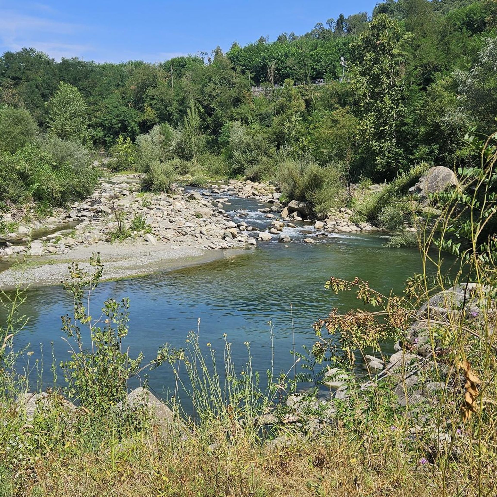
ENEL에 의한 호수 댐의 내진 보강 공사가 완료되고 저수지가 정비된 후, 마지막 단계인 호수 채우기 작업이 시작되었습니다. 느리지만 순조롭게 진행되고 있습니다. 매주 수위가 상승하여, 과거 이곳에 살았거나 지나가던 철새와 텃새들의 휴식처였던 호수의 아름다움을 되찾고 있습니다.
0
0

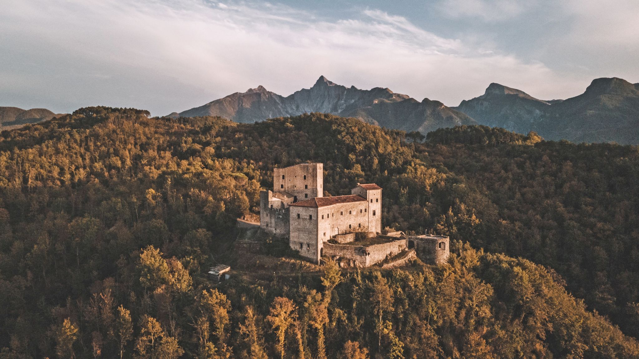
A ruin with a stunning view! Unfortunately, as with all tourist attractions, there's a lot of trash. It's still worth a visit. There's a large parking lot right in front of the gate, so you don't have to walk up.
0
0
railway viaduct that was blown up by the retreating Germans during the Second World War and later rebuilt. At its highest point it is 54 m. from the surface of the Serchio River.
2
0


The highest peak of Mount Capriola (537 m) can be reached from the town of Poggio (on the S.S. n.445 "della Garfagnana") by means of various paths, including sections of the Via Vandelli, (the ancient path designed by the abbot of the same name and wanted by the Este family, which crossed the Apennines from Modena and reached Massa); following a recent wooden fence you climb up to a rocky outcrop that was the base of a medieval fortification and from which you can enjoy a splendid panorama. A little further down there is a picnic area with benches, a barbecue station and an explanatory panel.
5
0
Mount Capriola, in the upper Serchio valley, rises with a double peak at just over 500 m. above sea level and, despite its limited height, offers remarkable 270° panoramic views of the valley floor and the surrounding hills, including the Apennines. The area, historically inhabited by Apuan Ligurians, was the object of a long conflict with the Romans who resented the frequent incursions of this people towards the south, up to their coastal territories in the current provinces of Pisa and Livorno. The bloodiest and most decisive clashes took place at the beginning of the 2nd century BC when the Roman army, accustomed to battles on the plains with large deployments of troops in the open field and tired of suffering the elusive guerrilla warfare of the Ligurians in the mountains, attacked them in force, surrounding and setting fire to the mountains to deprive the enemies of any escape route. Right in the vicinity of Poggio and Mount Capriola the surrounded Ligurians were definitively defeated, decimated and deported towards the South.
5
0

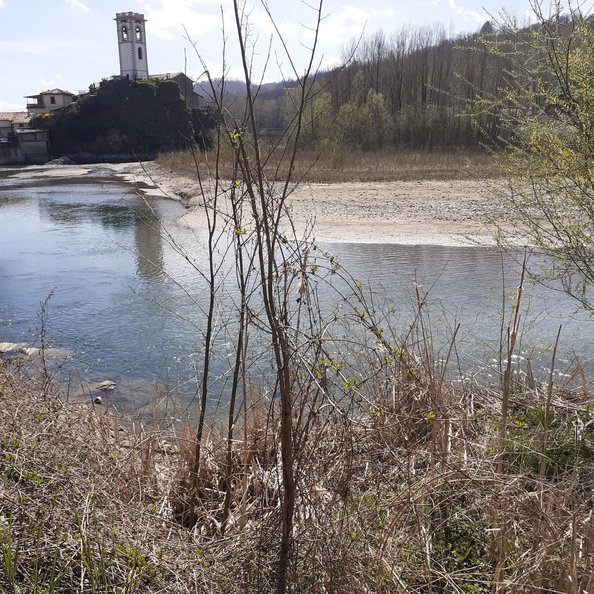
A beautiful church on the south side of the city
0
0
카스텔누오보 디 가르파냐나 주변에서 가장 인기 있는 명소


더 살펴보기
다른 지역의 최고의 하이킹를 살펴보세요.
