20의 페이오가지 명소 & 주요 장소
페이오에는 둘러볼 만한 장소가 많답니다. 하이킹 또는 사이클링을 좋아한다면 페이오에 숨겨진 20
가지 보석을 만날 수 있을 거예요. 이 지역의 주요 명소를 살펴보면서 다음 모험을 계획해보세요.
마지막 업데이트: 10월 9, 2026
주팔휘테 / 리푸지오 니노 코르시
하이라이트 • 산장
번역자 Google •
팁에 의해


이런 장소를 발견하려면 지금 가입하세요
최고의 싱글 트랙, 봉우리 및 다양한 흥미로운 야외 장소에 대한 추천을 받아보세요.
플리마 협곡 현수교
하이라이트 (구간) • 다리
번역자 Google •
팁에 의해

플리마강의 오래된 댐 벽(슈타우마우어)
하이라이트 • 기념물
번역자 Google •
팁에 의해


오늘 무료 계정으로 시작하세요
다음 모험이 기다리고 있어요.
페이오 주변 인기 장소

클래식 알프스 교차로부터 멀리 - L1 가르미쉬에서 브레시아까지
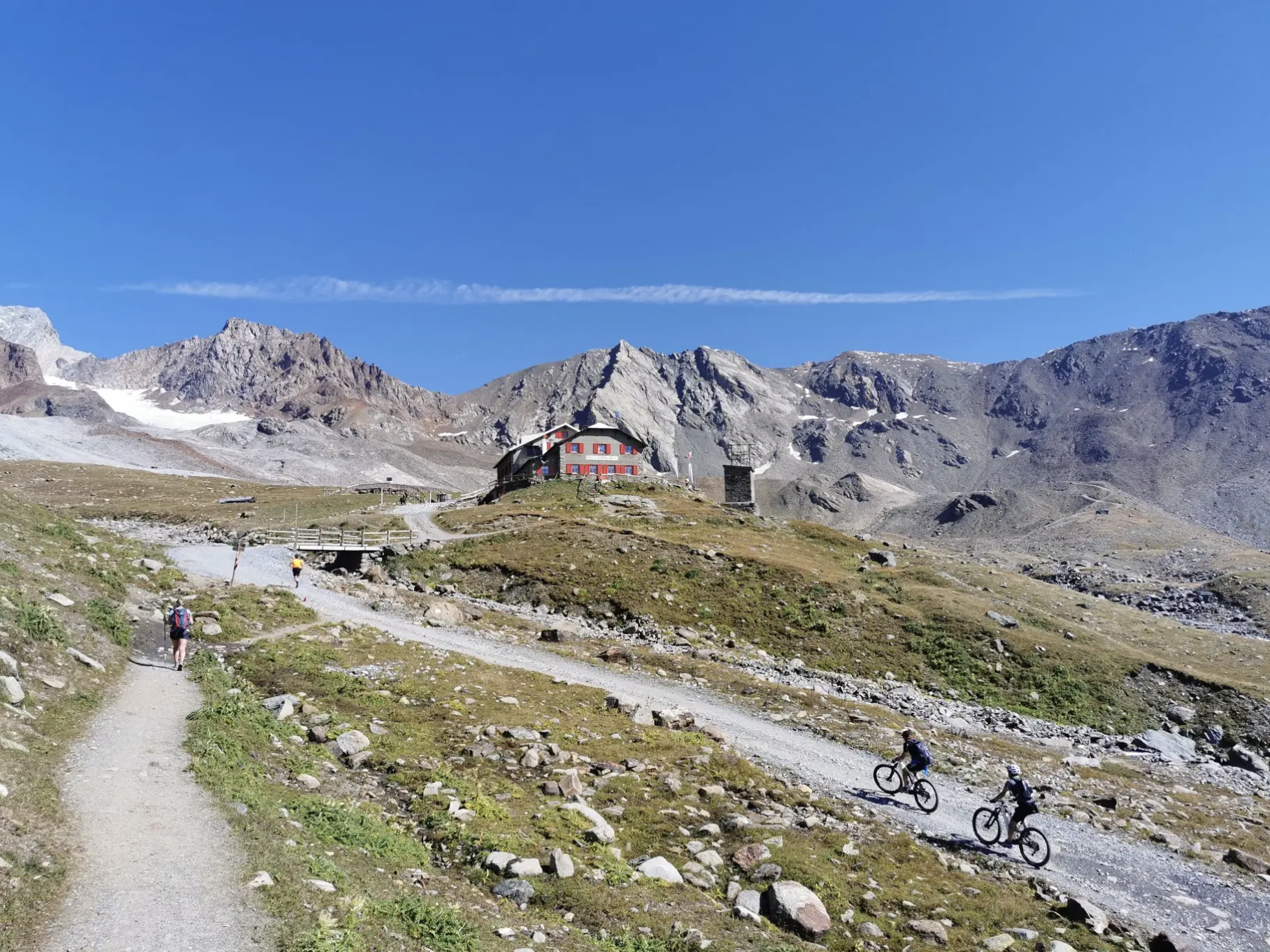
오르틀러 주변의 고산 트레일에서 7단계
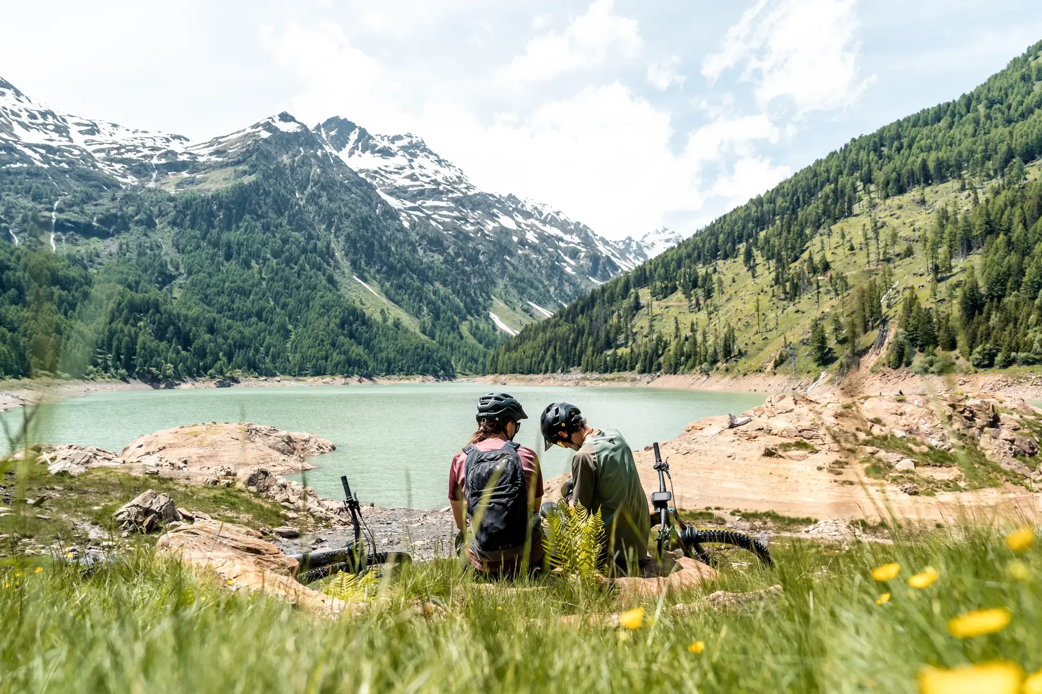
Trails and dramatic landscapes – Discovering Val di Sole by MTB
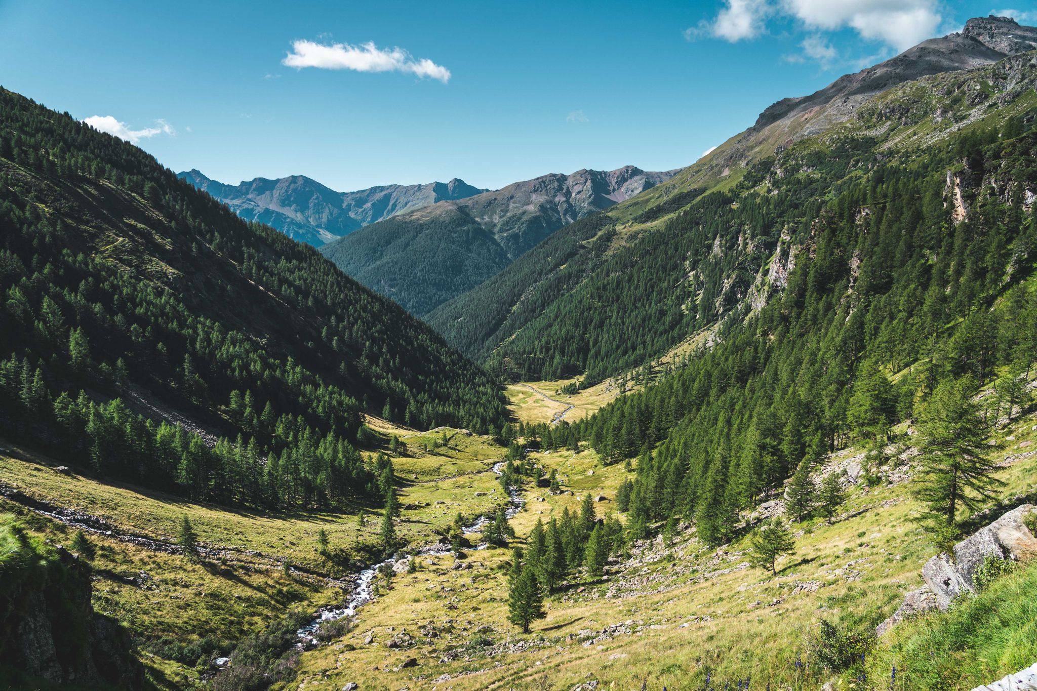
Trekking in Val di Sole – 7 day hikes at high altitude
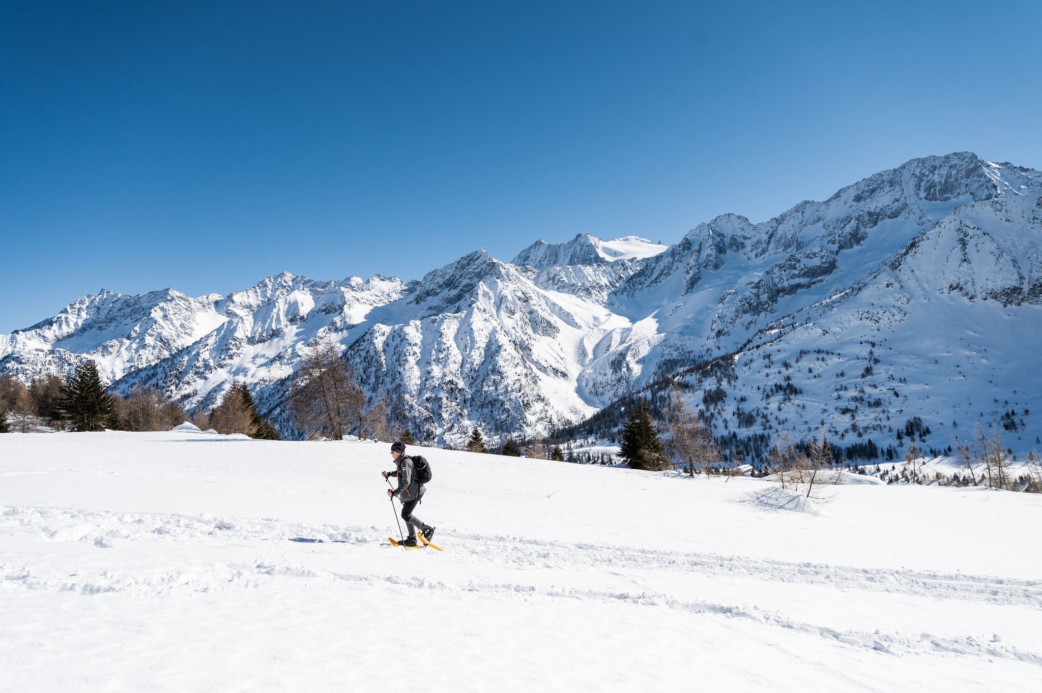
Ten snowshoe hikes in Italy’s Val di Sole
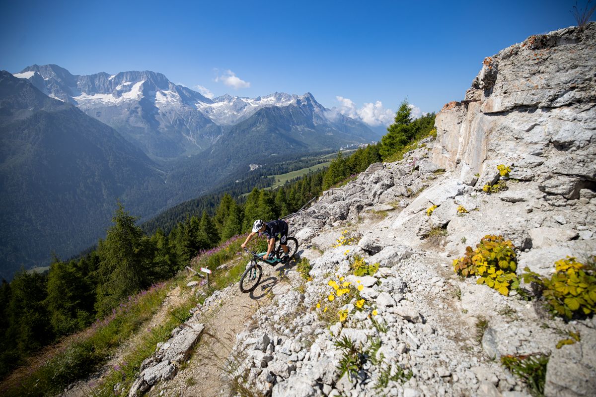
Make your MTB heart beat faster – Tours and trails in Italy’s Val di Sole
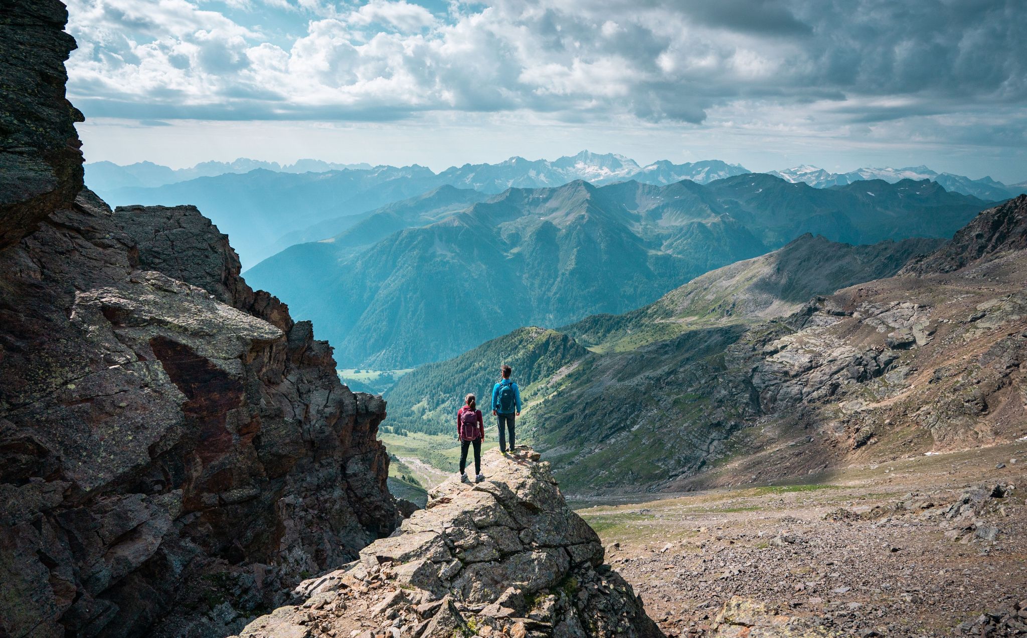
Exquisite hiking and mountaineering — epic tours in Val di Sole
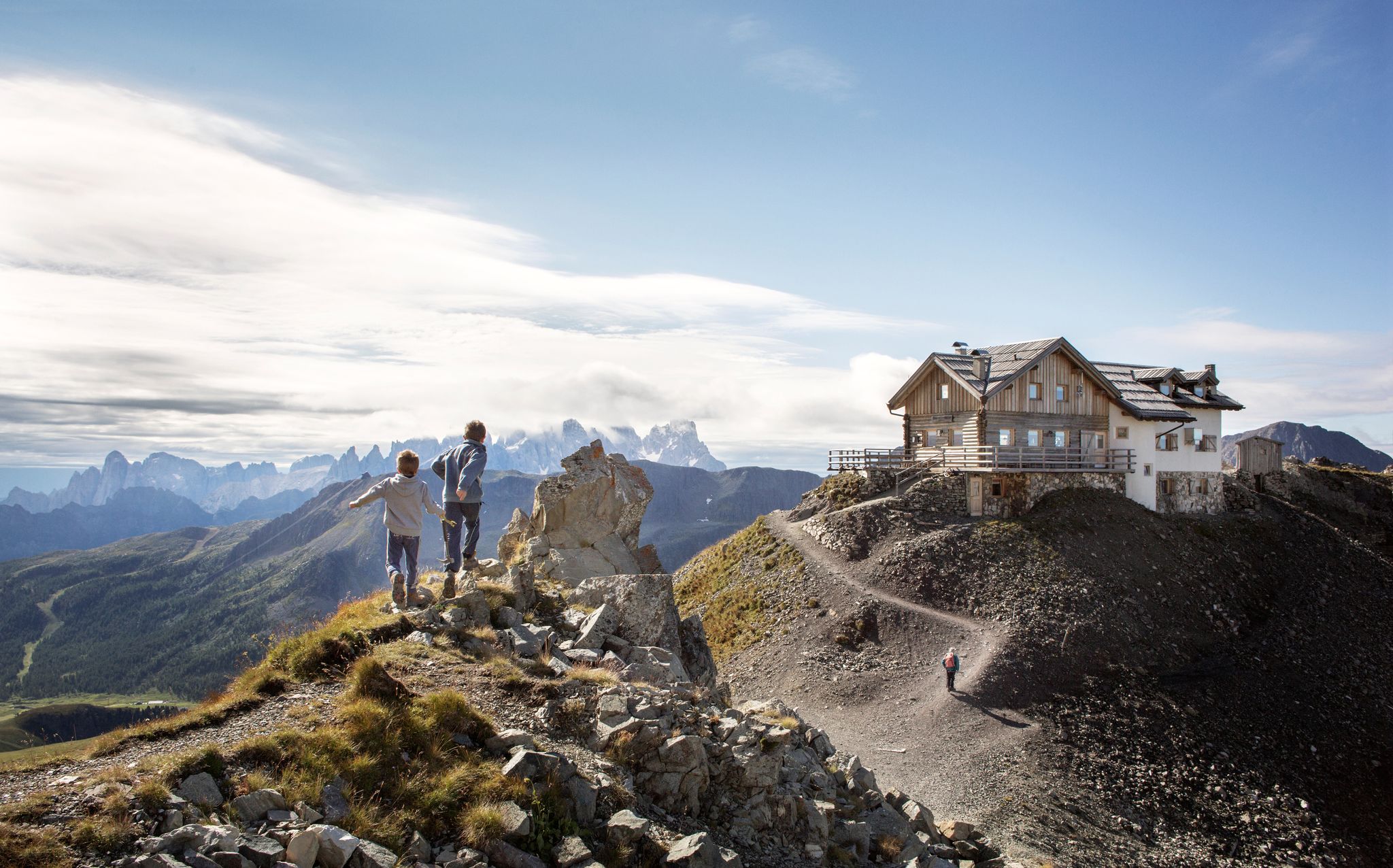
10 breathtaking hiking trails in Trentino
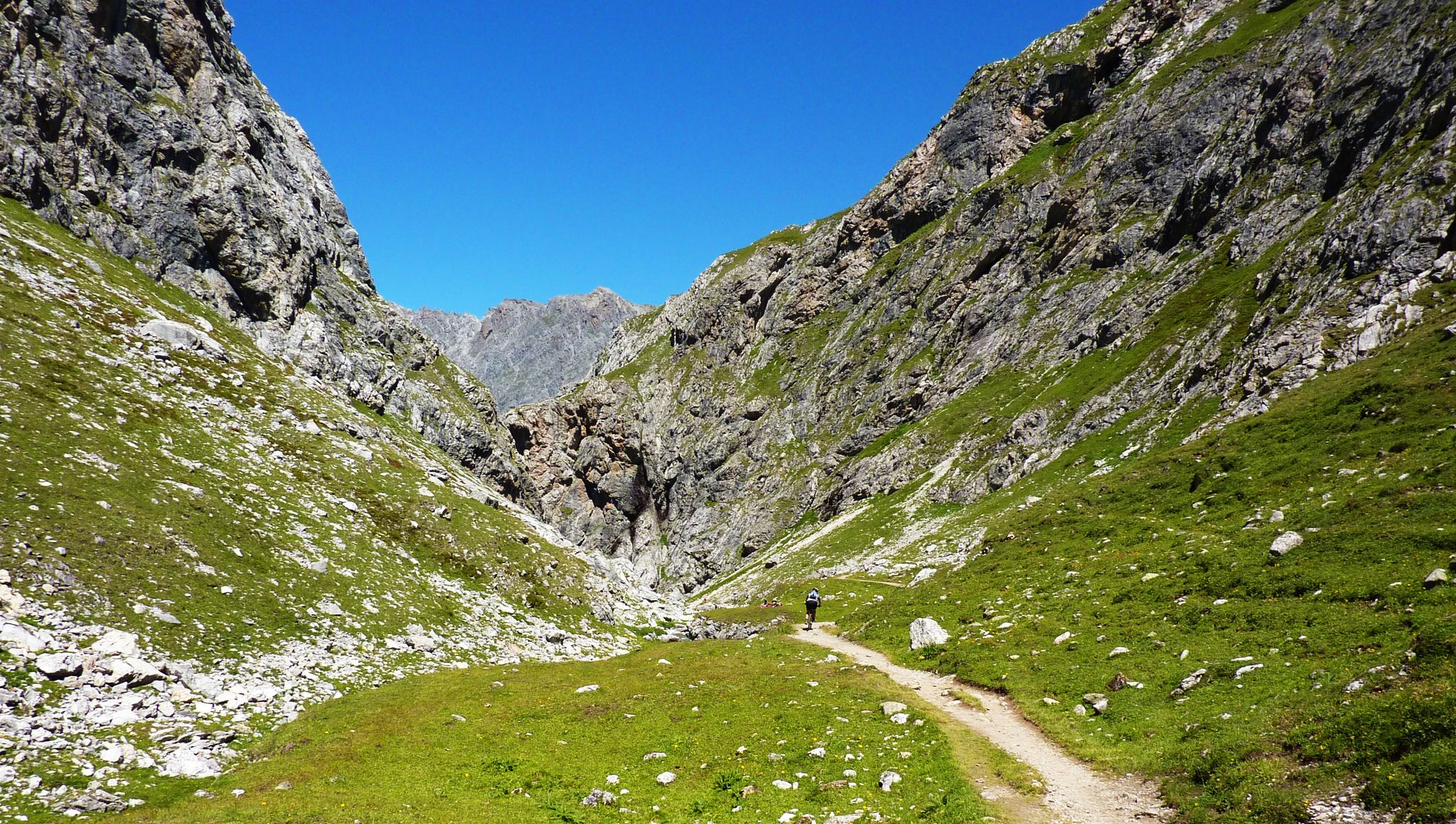
Alpine passes — 10 classics for you and your bike

페이오 하이킹
페이오 주변의 다른 모험


커뮤니티 팁

Quite a difficult route but beautiful views of the Cevedale group
1
0
Totally idyllic mountain hut with overnight accommodation. Quiet and secluded with a great panoramic view and a small lake. Don't despair when hiking to the hut: you can only see it when you are right in front of it, as it is very sheltered. And watch out: the kitchen closes at 3 p.m.
2
2

Beautiful historic dam wall... currently (July 2023) you cannot enter it due to renovation
3
1

In my collection of the highest "hiking peaks" of every Alpine country, Monte Vioz has replaced Rocchiamelone (and Punta Rossa del Grivola) for Italy. A higher peak that can be reached "hiking" [for me that means without glacier equipment and with a maximum of short, not too exposed climbing sections in the 1st degree] should not be found anywhere in Italy [if you know one, please message me! 🙂]. For my criterion, the only option was to leave the valley without a cable car, since it's almost 2,000 meters of ascent and descent. In addition, I wanted to take the Punta Linke with me as the 19th peak over 3500 m [in the meantime there are 21 😉]. At the end of September, the cable car and hut were already closed, but in good weather the summit could still be (almost) snow-free. Although you always have to be aware that there can be a lot of snow at this height, even in midsummer - the much-cited "alpine experience" is always recommended, despite the comparatively easy path (T3+) for the height.
6
0
The summit is only about 100 m above the hut. The summit cross is a little further ahead of the highest point. While the view to the south was already comparable from the hut, it now opens up over wide glacier areas to the north and to the Palon de la Mare.
2
0

Easy summit reachable via an easy path and ropes in the most exposed points. Important difference in height. Panorama on the Forni valley and its glaciers.
2
0

When the snow melted in spring, the residents of the Martell Valley had to expect that the meltwater would suddenly pour out beneath the glacier (today it is only a shadow of its former self) and cause the Plimabach to swell to such an extent that severe flooding would occur further down in the valley . It was then decided to build a simple dam that would allow the residents to drain the meltwater in a controlled manner. This meant that the risk of flooding in the lower Martell Valley was largely averted.
5
0

The spectacular suspension bridge over the gorge has been technically calculated and built so that it can be used all year round because it can carry several meters of snow. https://www.sentres.com
5
1


더 살펴보기
찾고 있는 하이라이트를 아직 못 찾으셨나요? 다른 지역의 주요 명소 가이드를 확인해보세요:
