뢰더란트 최고의 워킹 & 하이킹 경로
4.6
(1476)
4,782
등산객
22
하이킹
Komoot에 등록된 뢰더란트 내 트레일 및 경로 컬렉션 중에서 하이킹과 워킹을 가장 멋지게 즐길 수 있는 곳을 알려드릴게요. 아래에서 각 경로의 상세 정보를 모두 확인한 후, 뢰더란트 속 자연에서 즐거운 시간을 누려보세요.
마지막 업데이트: 10월 9, 2026
4.5
(2)
3
등산객
9.22km
02:20
0m
보통 하이킹. 좋은 체력 필요. 실력과 관계없이 누구나 쉽게 갈 수 있는 길.
5.0
(5)
13
등산객
초급용 하이킹. 모든 체력 수준에 적합. 실력과 관계없이 누구나 쉽게 갈 수 있는 길.

5.0
(4)
7
등산객
5.69km
01:26
10m
10m
초급용 하이킹. 모든 체력 수준에 적합. 실력과 관계없이 누구나 쉽게 갈 수 있는 길.
5.0
(1)
5
등산객
초급용 하이킹. 모든 체력 수준에 적합. 실력과 관계없이 누구나 쉽게 갈 수 있는 길.
5.0
(3)
3
등산객
6.93km
01:45
10m
10m
초급용 하이킹. 모든 체력 수준에 적합. 실력과 관계없이 누구나 쉽게 갈 수 있는 길.
더 다양한 경로와 다른 탐험가들의 추천을 살펴보세요.
이미 komoot 계정이 있나요?
투어 추천은 다른 사람들이 komoot에서 완료한 수천 개의 활동을 바탕으로 구성되어 있습니다.
오늘 무료 계정으로 시작하세요
다음 모험이 기다리고 있어요.
커뮤니티 팁

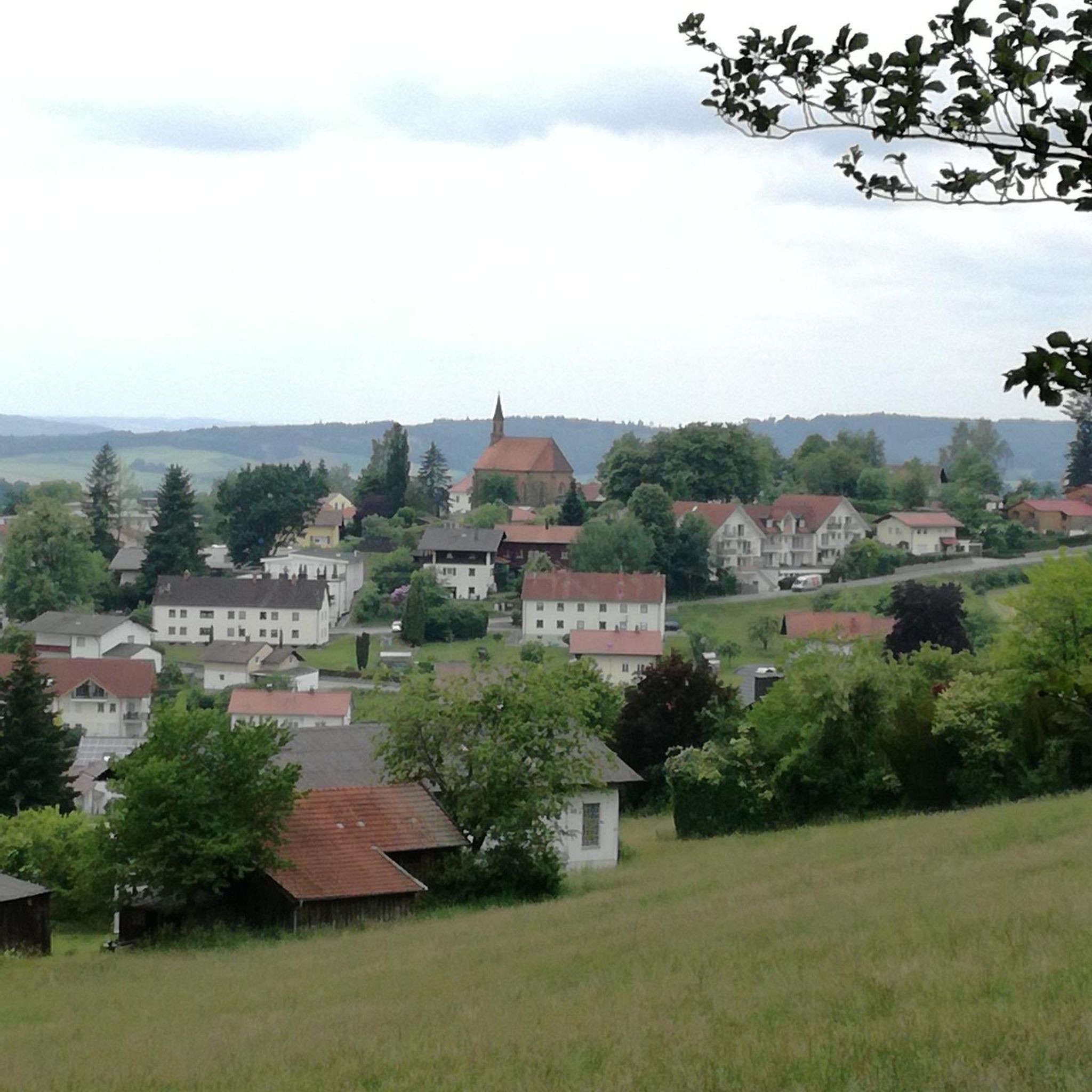
슈바르체 엘스터 강변의 매우 아름다운 작은 장소로, 매우 헌신적인 문화 협회가 있습니다. 성의 역사 속으로 빠져드는 것도 가치가 있습니다.
0
0
더 아름답게 자전거를 탈 수 있는 경우는 드뭅니다.
0
0

The Black Elster Cycle Path is a 190-kilometer-long long-distance cycle route in southern Brandenburg and northern Saxony, with short sections also extending into eastern Saxony-Anhalt. The cycle path runs from the source of the Black Elster River at 317 meters above sea level to its confluence with the Elbe River at 69 meters above sea level, through the foothills of the Lusatian Mountains near Kamenz and later largely directly along the Black Elster's dike. It is marked with a magpie symbol.
0
0

Saxon-Prussian boundary stone No. 180 Of significance in surveying and regional history as a historical document of the border demarcation between Saxony and Prussia after the Congress of Vienna in 1815.
0
0
Of historical significance in terms of surveying and regional history as a historical document of the border demarcation between Saxony and Prussia after the Congress of Vienna in 1815.
0
0
The Prösen lock house is located directly on the Elsterwerda-Grödel log flume, which opened in 1748. An old thatched-roof house once stood here, where the lock keeper lived. His job was to operate the lock, a process that took twelve minutes. To further develop the area for leisure and tourism, a replica of the lock keeper's cottage was built right next to the Elbe-Elster Canal cycle path. An exhibition about the "log flume" technical monument can be seen there. https://de.wikipedia.org/wiki/Schleusenhaus_Pr%C3%B6sen
0
0
To provide a historical insight into the canal's past, reconstruction work was carried out at the Prösen lock in 1993, and the wooden lock gates were rebuilt. As with all the other locks, they had been missing for a long time. The lock system is approximately 45 meters long, with a usable length of 36 meters from the narrowed entrances. The gate entrances are 5.60 meters wide, and the chamber width is approximately 11.50 meters. https://de.wikipedia.org/wiki/Elsterwerda-Gr%C3%B6del-Flo%C3%9Fkanal
0
0
The Pulsnitz is a tributary of the Black Elster River. It rises near Ohorn, not far from the small town of Pulsnitz in Saxony, and flows through the towns of Pulsnitz, Königsbrück, and Ortrand. The Pulsnitz flows through the Königsbrück and Krakau Heath, where the Königsbrück military training area was located between 1906 and 1992, and where the market town of Krakau existed until 1938. After approximately 60 kilometers, it now flows into the Black Elster near Elsterwerda. However, its original mouth, and thus the border between Saxony and Brandenburg, was located after the village of Tettau. This formed the historical tripoint of the Margraviate of Meissen with Upper and Lower Lusatia. https://www.pulsnitztal.de/pulsnitztal.html
0
1
뢰더란트 주변에서 가장 인기 있는 명소


더 살펴보기
다른 지역의 최고의 하이킹를 살펴보세요.
