물라초에서 가장 멋진 14개의 산길
물라초에서 가장 멋진 산길을 아래에서 살펴보세요. 풍경을 감상하기에도 좋고, 오르막길/내리막길을 따라 걷기에도 좋은 곳이랍니다. 커뮤니티가 특별 도움을 통해 공유한 콘텐츠인 만큼 믿을 수 있는 정보이니 마음에 드는 산길이 있다면 바로 다음 모험 계획에 추가해서 바로 방문해보세요.
마지막 업데이트: 9월 16, 2026
파쏘 데이 두에 산티
하이라이트 • 산악 고개
번역자 Google •
팁에 의해

파소 알피첼라 (710m)
하이라이트 • 산악 고개
번역자 Google •
팁에 의해

이런 장소를 발견하려면 지금 가입하세요
최고의 싱글 트랙, 봉우리 및 다양한 흥미로운 야외 장소에 대한 추천을 받아보세요.
제리와 폰트레몰리 사이의 경치 좋은 도로
하이라이트 (구간) • 트레일
번역자 Google •
팁에 의해


시사 고개를 향한 오르막
하이라이트 • 산악 고개
번역자 Google •
팁에 의해

무료로 가입하여 물라초 주변의 더 많은 산악 고개를 발견하세요.
이미 komoot 계정이 있나요?
오늘 무료 계정으로 시작하세요
다음 모험이 기다리고 있어요.

커뮤니티 팁

1년 만에 다시 찾았습니다. 장소는 여전히 아름답지만, 오두막 주변이 조금 지저분했습니다. 종이 조각, 버려진 병, 캔 등이 있었습니다. 모두 오두막 테이블 바로 주변에요. 이런 곳에서는 좀 더 신경 써주면 좋겠습니다... 관리되지 않는 오두막이라는 것은 이해하지만, 이 경우에는 조금만 신경 쓰면 될 것 같습니다...
1
0
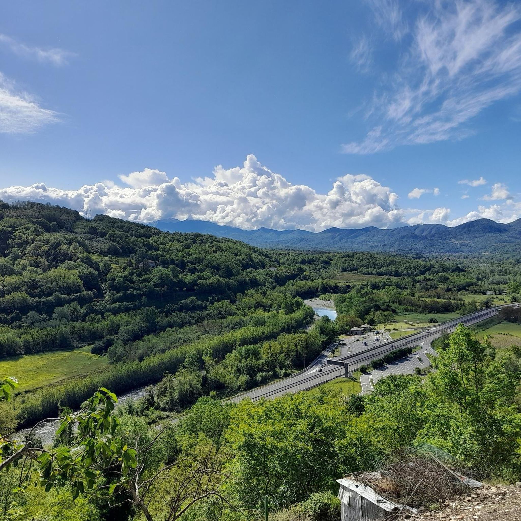
M. Marmagna 발치에 있는 아름다운 전망 지점
1
0
A beautiful mountain pass at 1,400 meters. There's a refuge, a small chapel, a monument—in short, everything you'd expect in a place like this. There's even a small clothing store. The only thing that's jarring is the constant noise of a combustion engine, which I assume is a generator for the refuge's operation.
1
0

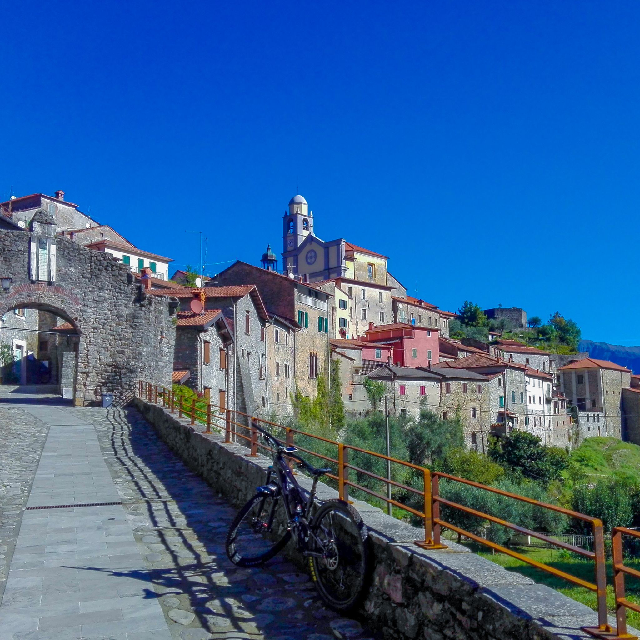
Passo Alpicella is located at 710m above sea level and is part of the 42nd stage of the Alta Via dei Monti Liguri. It is located on the watershed ridge between Val di Vara and Valle del Magra, offering open views that on clear days reach the Apuan Alps and the Gulf of Poets.
1
0

ALPICELLA PASS WHICH DIVIDES LIGURIA FROM TUSCANY PHOTO OF THE OLD RESTAURANT
2
0

Passo 2 santi, known for its winter facilities, but it is also possible to stop in summer, there is a bar and restaurant and a way to stock up on water
1
0

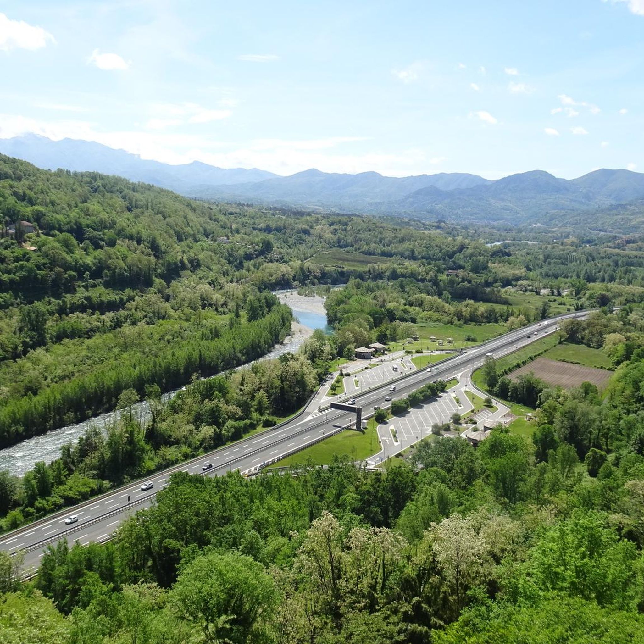
From there you could see the bottom is worth ... pontremoli and the auto-season of the Cisa ....
4
0

From Pontremoli the road is all uphill, but the real slopes begin in Noce. From there it is about 9 km with a gradient of 9.5%, on a road with a less than perfect surface. It is wonderful to arrive in the locality of Zum Zeri: right on the top it is possible to stop at a refuge.
0
0
물라초 주변에서 가장 인기 있는 명소


더 살펴보기
이 가이드를 통해 더 많은 장대한 산악 통과를 확인해보세요 물라초 주변:
