카스텔리 최고의 워킹 & 하이킹 경로
4.3
(715)
4,011
등산객
116
하이킹
정확한 경로를 찾는 것이 때로는 어렵지만 카스텔리에서 하이킹을 하면 다양한 경치를 마음껏 감상할 수 있답니다. 카스텔리에서 가장 멋진 하이킹과 워킹 중에서 마음에 드는 활동을 시작해보세요.
마지막 업데이트: 10월 10, 2026
4.7
(11)
51
등산객
5.41km
01:53
310m
310m
보통 하이킹. 좋은 체력 필요. 실력과 관계없이 누구나 쉽게 갈 수 있는 길.
6
등산객
13.9km
07:27
1,690m
1,690m
Ascend Monte Prena from Lago di Pagliara on this difficult 8.6-mile hike, gaining 5551 feet for panoramic views of Gran Sasso.

4.5
(2)
13
등산객
6.75km
02:30
420m
420m
보통 하이킹. 좋은 체력 필요. 실력과 관계없이 누구나 쉽게 갈 수 있는 길.
4.5
(2)
25
등산객
13.0km
04:36
730m
730m
보통 하이킹. 좋은 체력 필요. 실력과 관계없이 누구나 쉽게 갈 수 있는 길.
5.0
(3)
19
등산객
14.7km
08:05
1,500m
1,500m
어려운 하이킹. 우수한 체력 필요. 튼튼한 신발을 신고 미끄러지지 않게 조심해야 하며, 높은 산을 오른 경험이 있어야 함.
더 다양한 경로와 다른 탐험가들의 추천을 살펴보세요.
이미 komoot 계정이 있나요?
투어 추천은 다른 사람들이 komoot에서 완료한 수천 개의 활동을 바탕으로 구성되어 있습니다.
오늘 무료 계정으로 시작하세요
다음 모험이 기다리고 있어요.


커뮤니티 팁

길이 덮여 있나요? 여름에 햇볕이 있을 때 갈 수 있나요?
0
0


Going up you reach the hermitage of Santa Colomba, continuing on the left to the Ruzzo and Fossaceca/Venarossa waterfalls
0
0

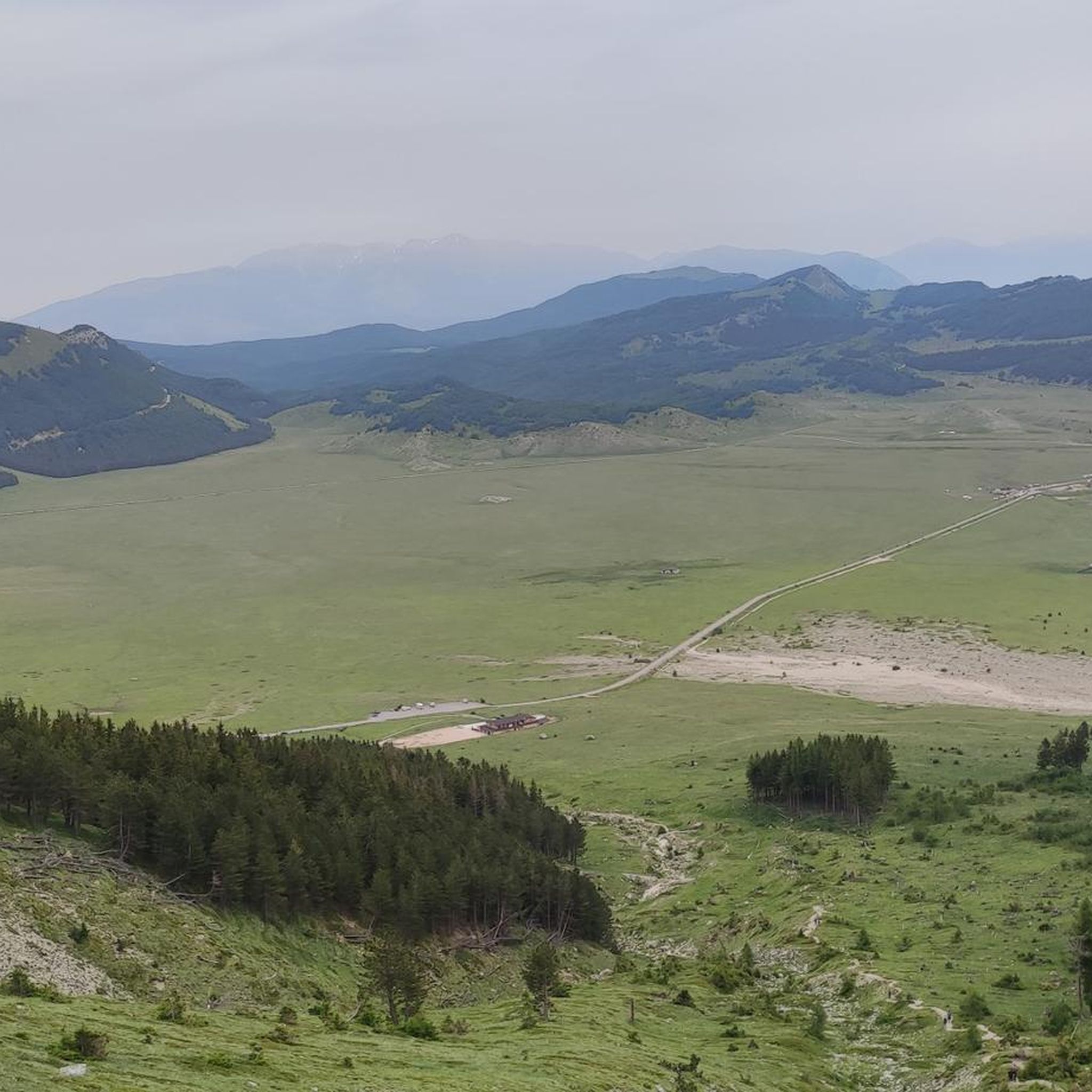
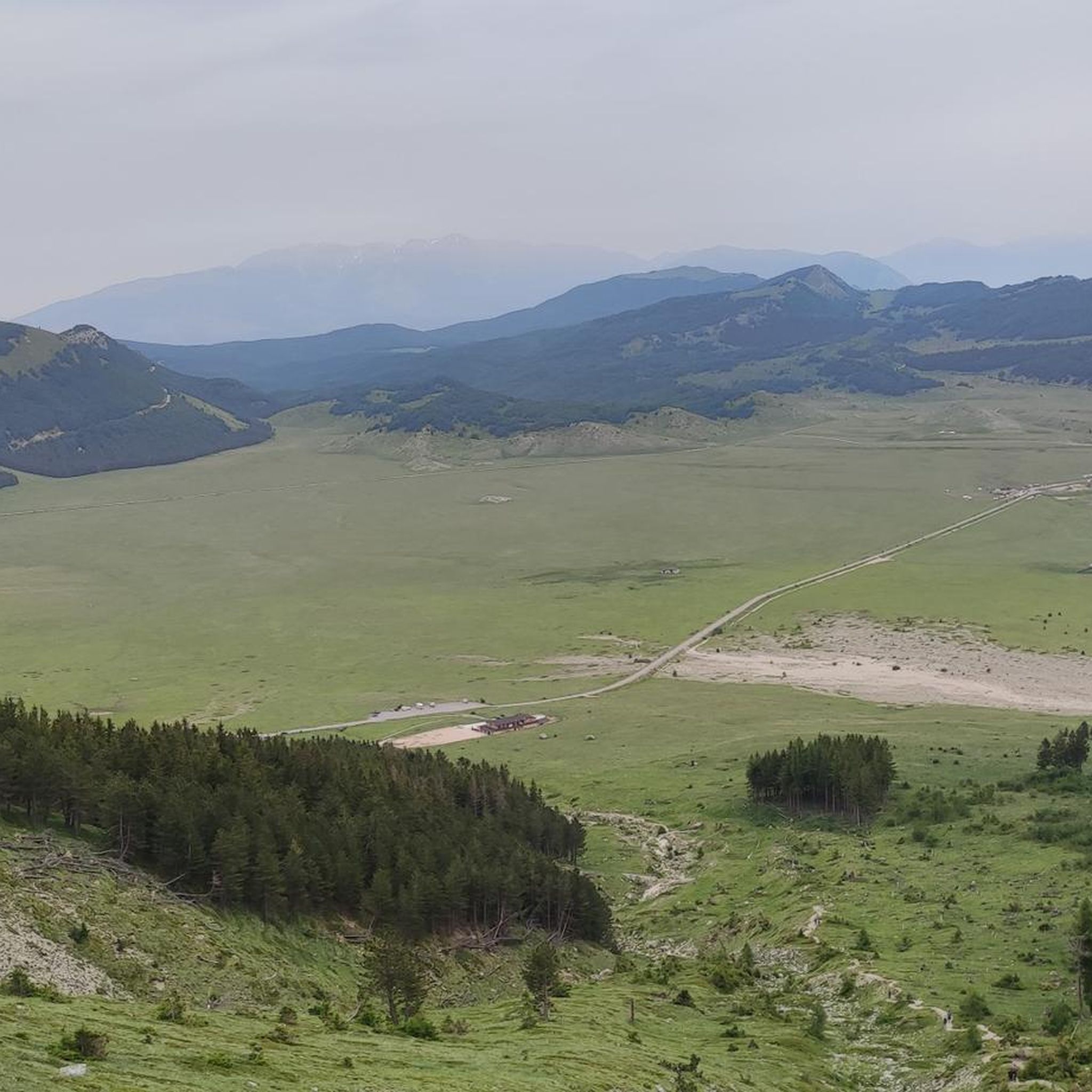
Lake Pagliara is a pass between the mountains of the Gran Sasso d'Italia, at an altitude of 852 metres. There is no real lake, but a wetland fed by some springs. From here various hiking trails lead to Monte Prena, Vado Ferruccio and the ruins of the castle of Pagliara, an abandoned medieval fortification.
0
0
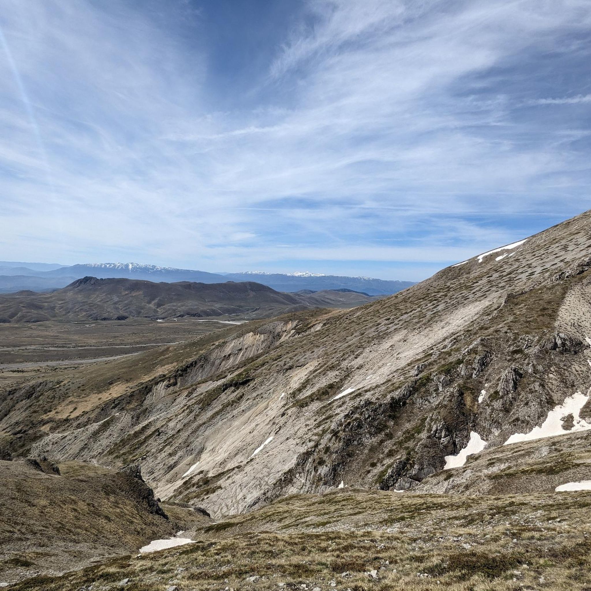
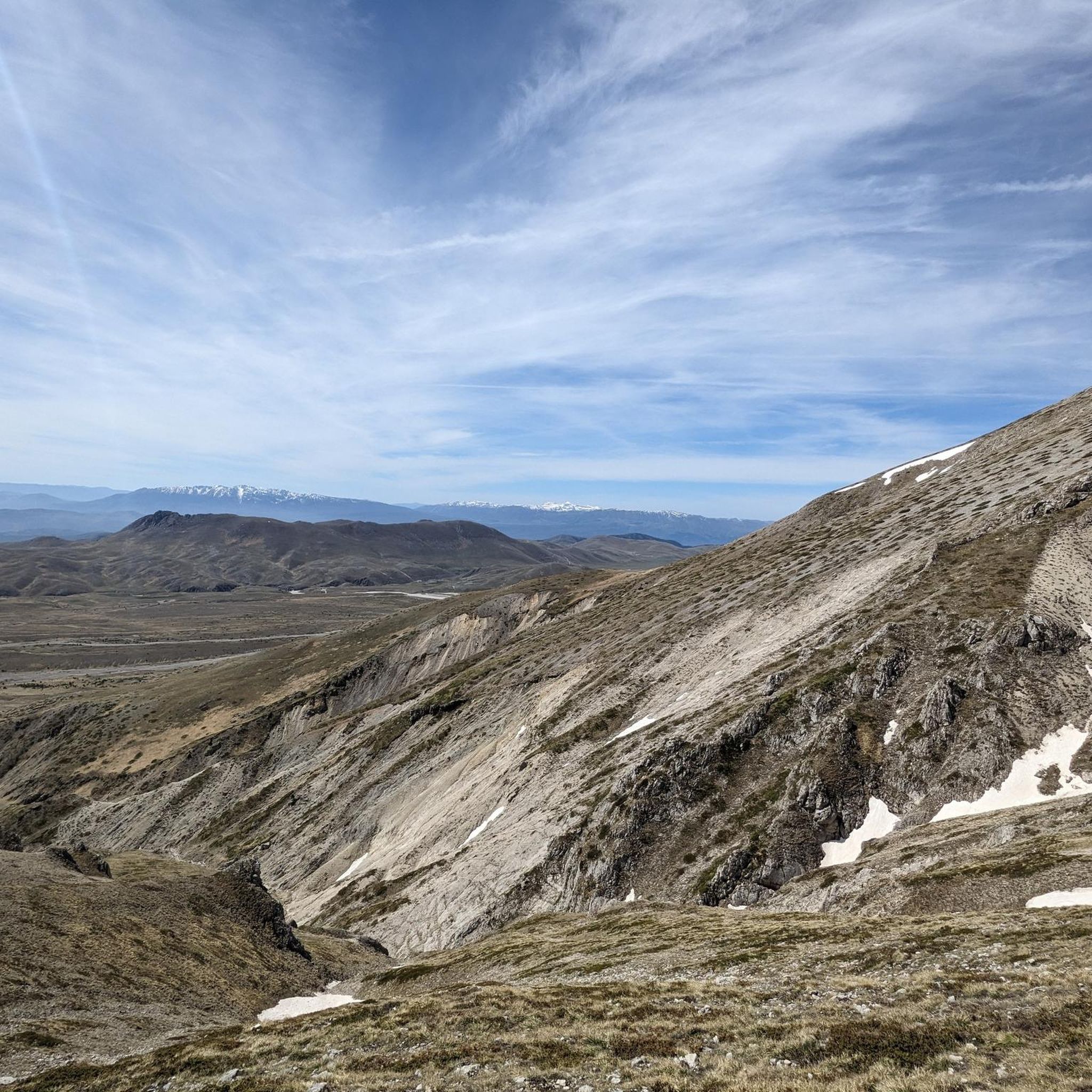
Monte Prena is a mountain of the Gran Sasso d'Italia 2,561 meters high. It is located on the eastern crest of the massif, between Monte Shirt and Monte Brancastello.
0
0
The Ruzzo waterfalls are a group of waterfalls located in the Gran Sasso and Monti della Laga National Park, in the province of Teramo. They are fed by three large springs which form the Ruzzo river. The most spectacular waterfall is the Vena Roscia, 16 meters high.
1
0

There are a number of waterfalls here, with the highest one at 16 metres. The waterfalls are fed by the important river present in this area: the Ruzzo river.
1
0

Since the route is constantly changing due to the snowmelt and meltwater, it is best to start at the car park near the small Colle Rustico pass behind the ceramic village of Castelli. Take the forest path at the picnic area and always follow the yellow-red markings to the end of the path. But be careful: when the snow melts, crossing the cirque, which has to be done several times, is very dangerous!!!
0
0
카스텔리 주변에서 가장 인기 있는 명소


더 살펴보기
다른 지역의 최고의 하이킹를 살펴보세요.
