에베네 라이체나우 최고의 워킹 & 하이킹 경로
4.7
(3104)
16,113
등산객
152
하이킹
Komoot에 등록된 에베네 라이체나우 내 트레일 및 경로 컬렉션 중에서 하이킹과 워킹을 가장 멋지게 즐길 수 있는 곳을 알려드릴게요. 아래에서 각 경로의 상세 정보를 모두 확인한 후, 에베네 라이체나우 속 자연에서 즐거운 시간을 누려보세요.
마지막 업데이트: 11월 12, 2026
4.8
(226)
1,080
등산객
9.74km
03:20
470m
470m
보통 하이킹. 좋은 체력 필요. 대부분 걸을 수 있는 길. 안정적인 보행이 필요함.
4.8
(159)
819
등산객
5.08km
02:26
400m
400m
어려운 하이킹. 좋은 체력 필요. 튼튼한 신발을 신고 미끄러지지 않게 조심해야 하며, 높은 산을 오른 경험이 있어야 함.

4.7
(870)
3,914
등산객
7.41km
02:05
150m
150m
보통 하이킹. 좋은 체력 필요. 쉽게 걸을 수 있는 길.
4.6
(29)
177
등산객
3.22km
01:10
130m
310m
초급용 하이킹. 쉽게 걸을 수 있는 길.
더 다양한 경로와 다른 탐험가들의 추천을 살펴보세요.
이미 komoot 계정이 있나요?
투어 추천은 다른 사람들이 komoot에서 완료한 수천 개의 활동을 바탕으로 구성되어 있습니다.
오늘 무료 계정으로 시작하세요
다음 모험이 기다리고 있어요.
에베네 라이체나우 주변 인기 장소
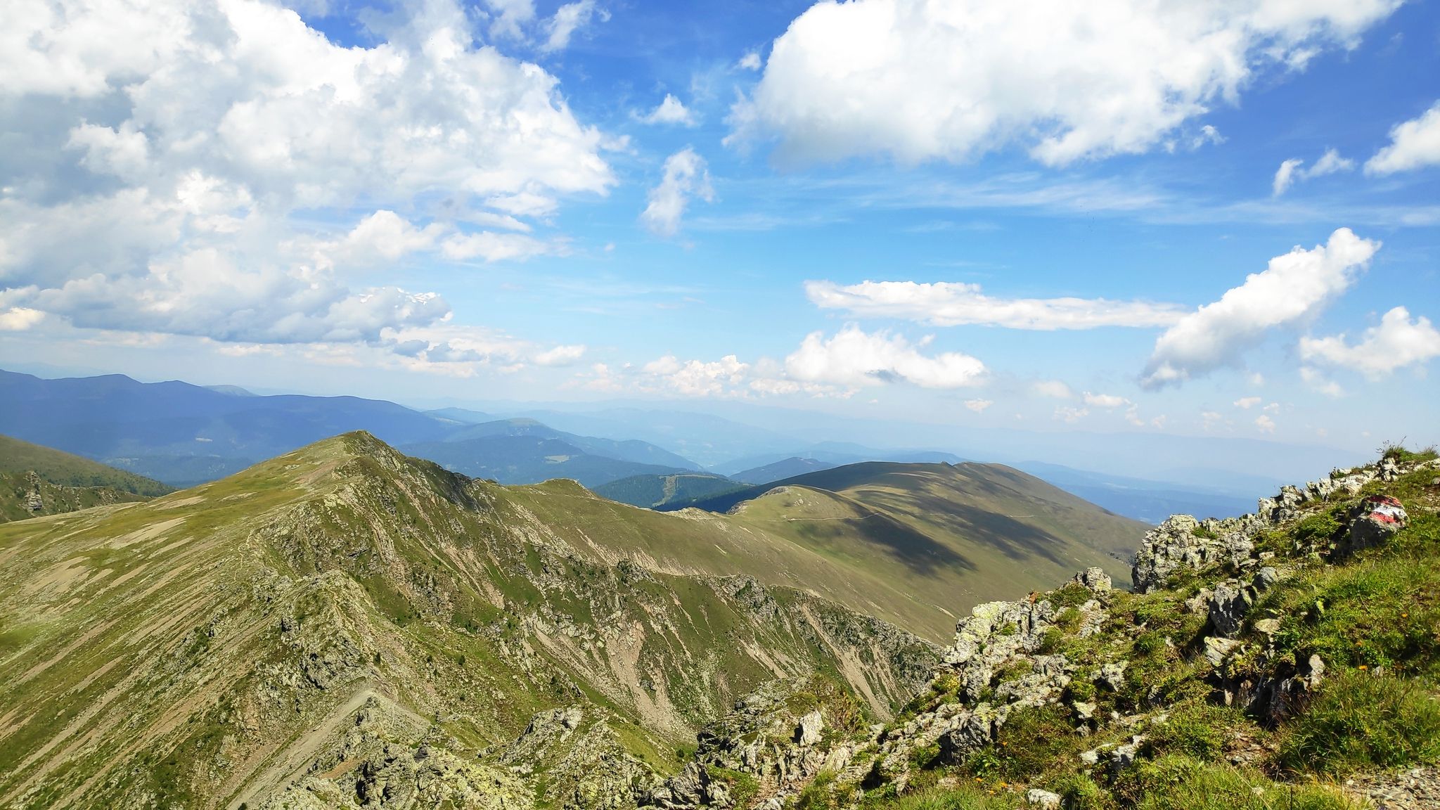
카린티아를 거쳐 — 가스탄리스탄이시 Salt Trail
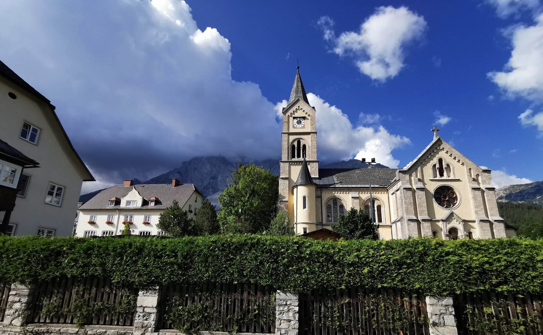
아이타일 오르 정보스타자 아습니다 - 이리이 수다
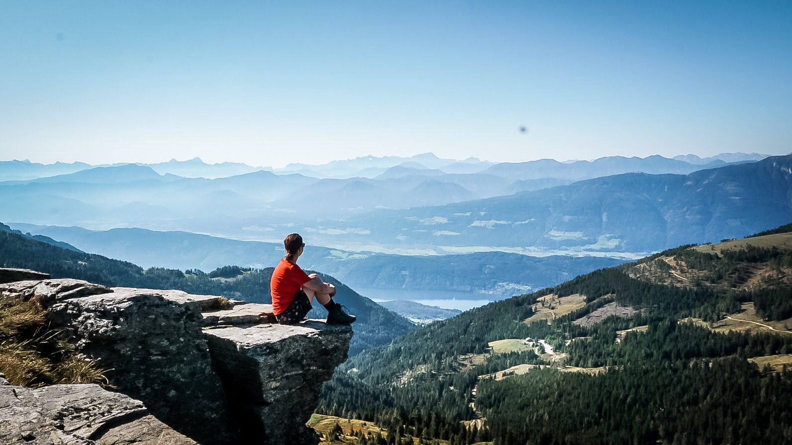
알페-아드리아-트레일: 빙하에서 바다까지의 나의 장거리 하이킹
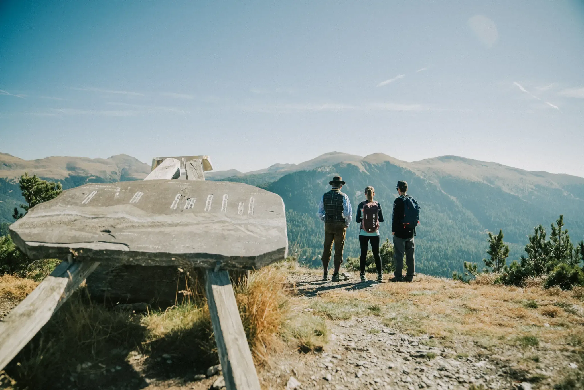
Above 2,000 Metres, Totally Relaxed: Hikes with a Cable Car Boost
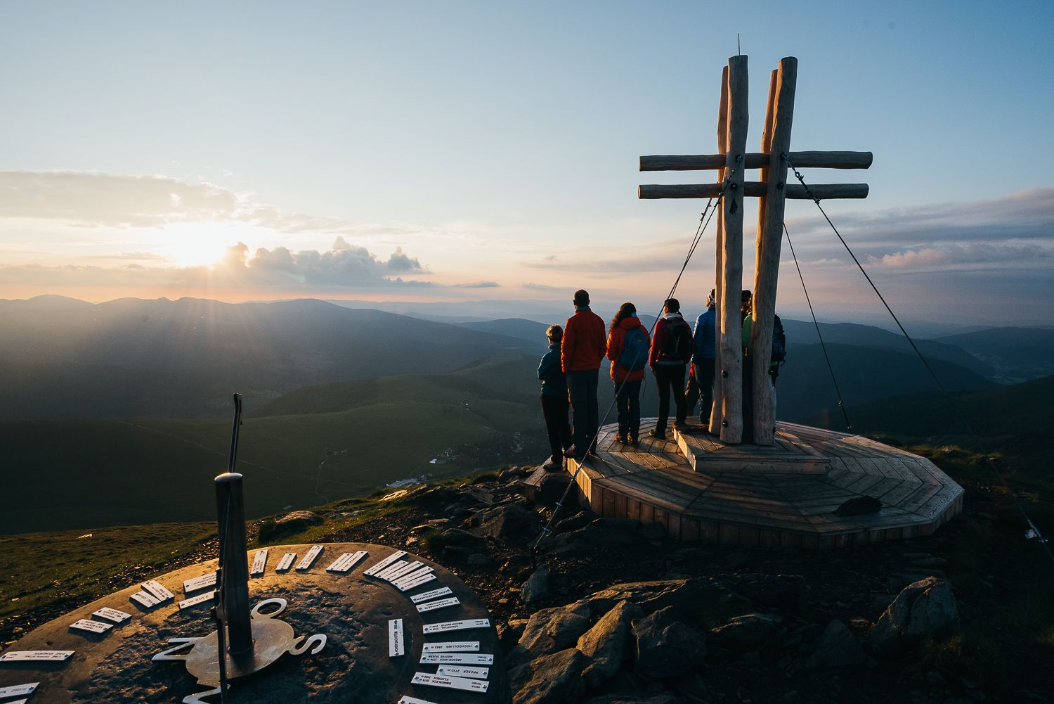
The mountains at sunrise — hikes in Austria’s Nock mountains
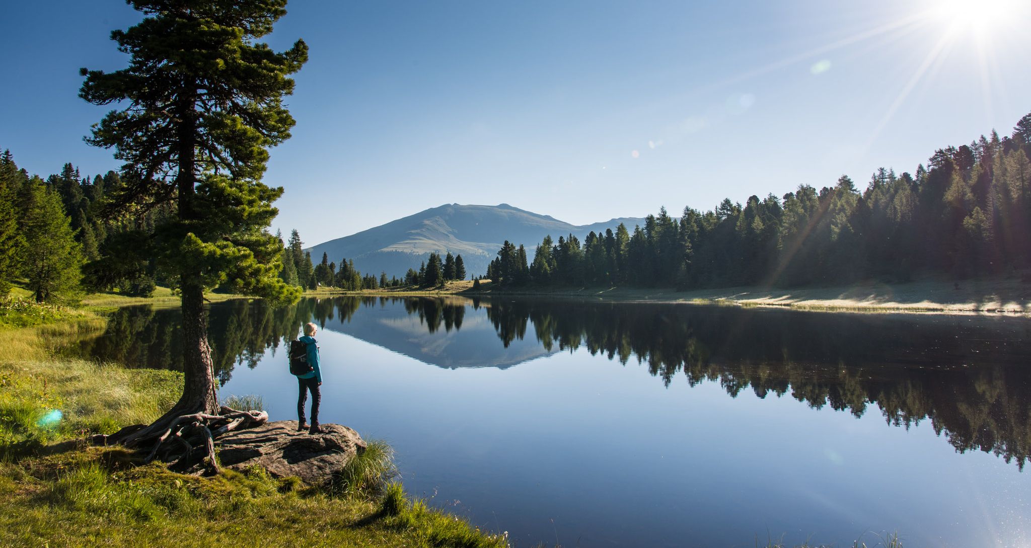
산에서 호수까지 녹베르게 트레일을 따라 장거리 하이킹
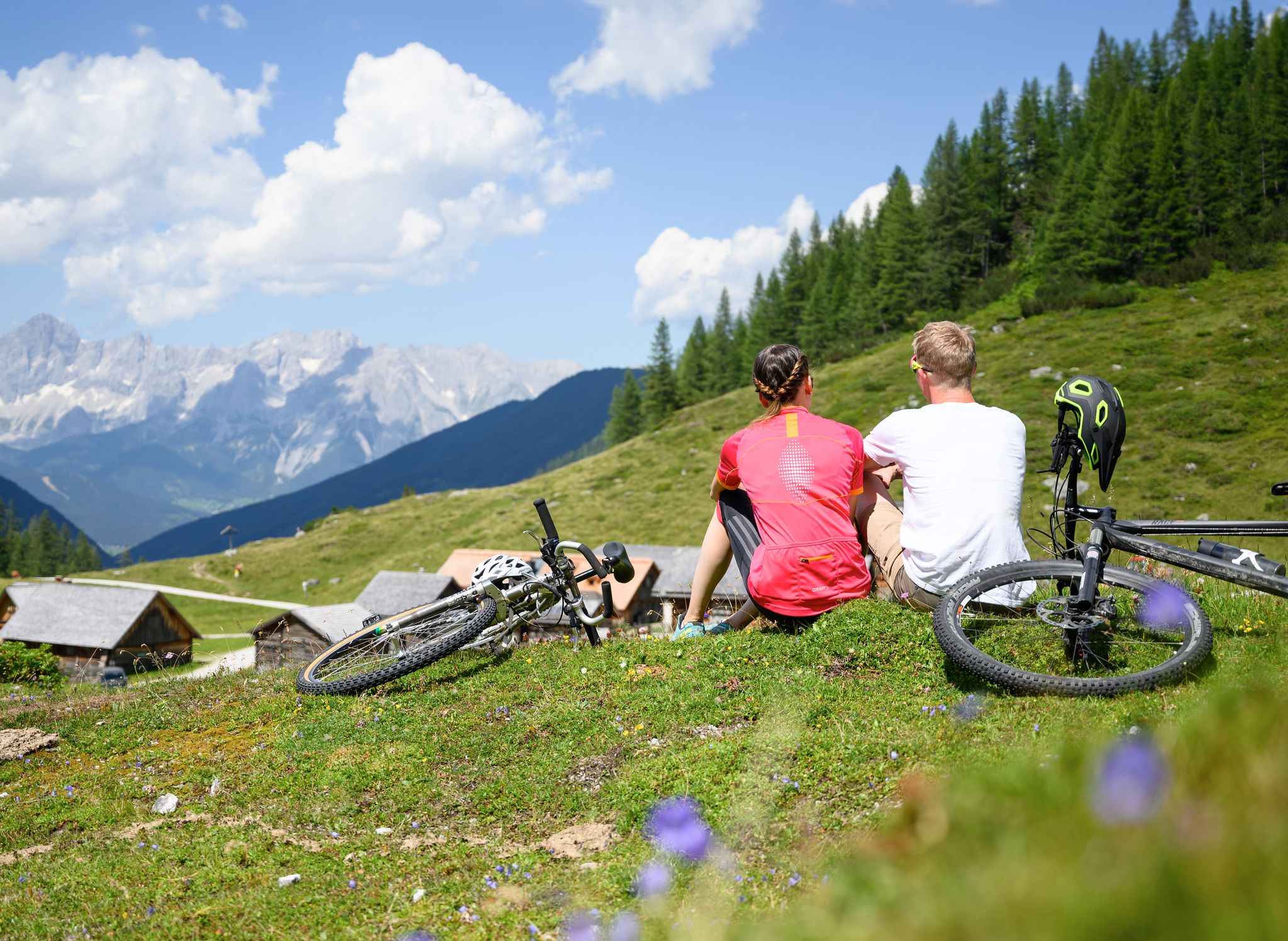
Magnificent mountain biking on Austria's alpine pastures
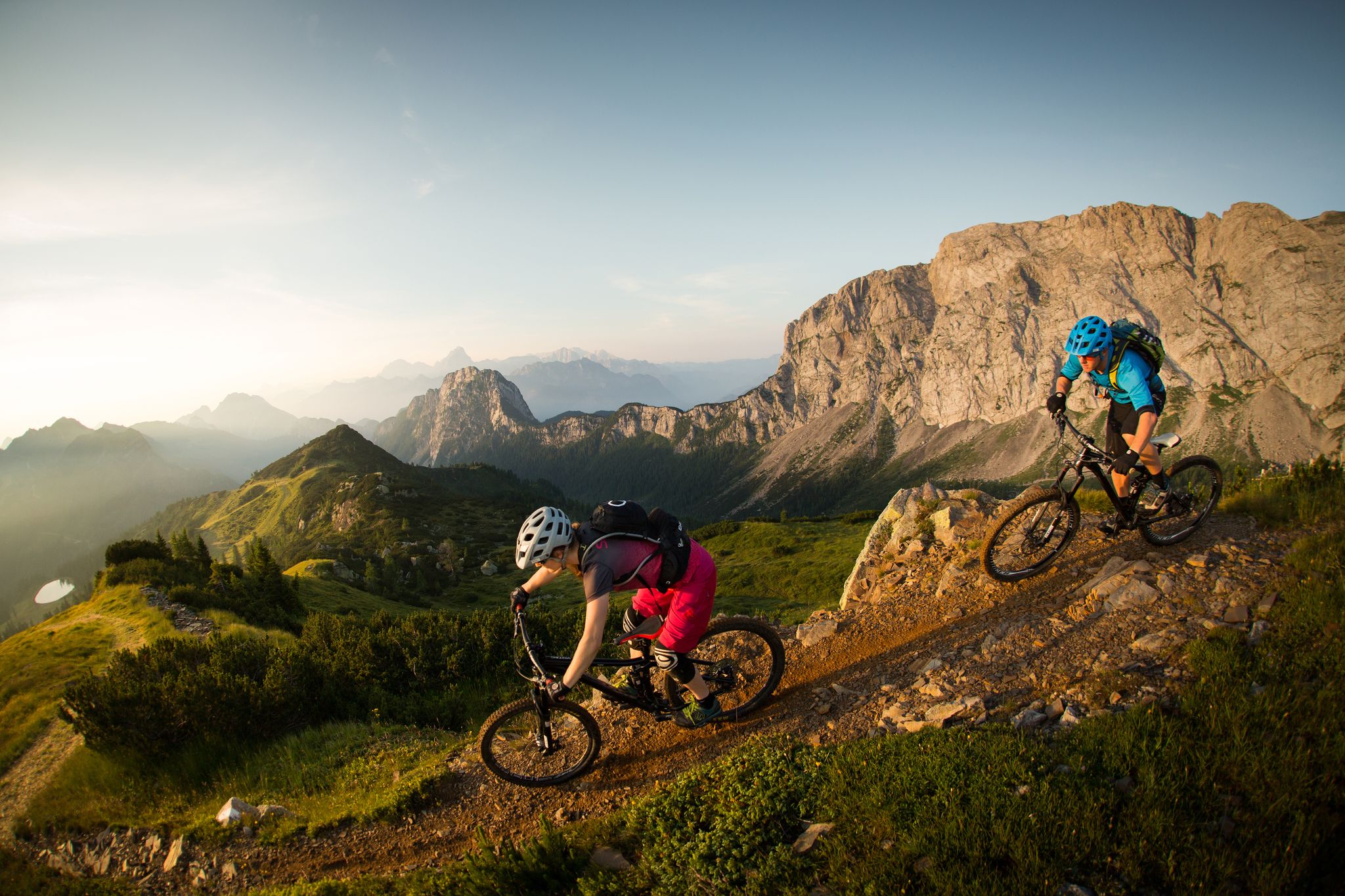
Flow as an attitude to life – 5 Flow Trails Carinthia in south Austria
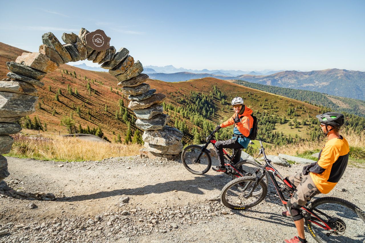
Europe's longest Flow Country Trail – spectacular MTB trails
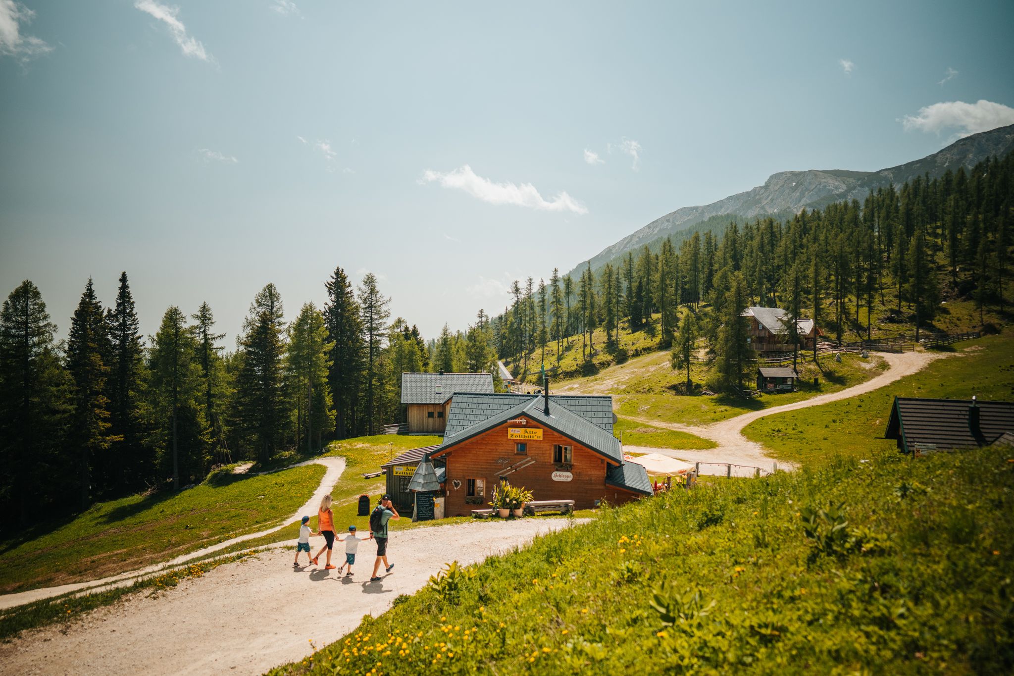
Auszeit auf der Alm – Wandern zu Kärntens schönsten Hütten
에베네 라이체나우 주변의 다른 모험


커뮤니티 팁


훌륭한 하이킹 코스입니다! 가족 하이킹에 아주 적합합니다. 튼튼한 신발, 날씨에 맞는 옷을 입고 출발하세요.
0
0
목초지가 많은 곳을 따라 이어지는 아주 멋진 길입니다. 운이 좋으면 마멋을 볼 수도 있습니다.
0
0

The Schoberriegel is a 2,208 m (7,208 ft) high mountain located on the border of the municipalities of Reichenau and Albeck on the Turracher Höhe in the Gurktal Alps. The western and eastern flanks are steep and rocky. A gently sloping ridge leads to the summit from the north. To the south, the ridge leads to the summit of the Gruft. It is a popular hiking mountain due to its beautiful views of the Nockberge Mountains and the Turracher Höhe. A summit cross with a summit register is located at the summit.
2
0


A challenging ascent by bike. If you prefer a more leisurely approach, you can drive almost to the shore.
2
0

This is a wonderful place to unwind. Before breakfast or after dinner, you're practically alone.
2
0
Done. Refill fluids, sign the summit log, and back down
2
0
에베네 라이체나우 주변에서 가장 인기 있는 명소


더 살펴보기
다른 지역의 최고의 하이킹를 살펴보세요.
