라미스의 산마르코 최고의 러닝 경로
4.5
(6)
267
달리기 하는 사람
54
러닝
라미스의 산마르코에서 하이킹하며 포기아 구석 부분까지 살펴볼까요? 라미스의 산마르코에 있는 모든 하이킹 및 워킹 경로 컬렉션 중 가장 멋진 하이킹 경로를 엄선하여 소개해드릴게요. 다른 하이커가 공유한 실제 팁과 사진을 살펴보고 후기를 읽으며 마음에 드는 라미스의 산마르코 워킹 경로를 찾아보세요.
마지막 업데이트: 10월 8, 2026
5.0
(1)
1
달리기 하는 사람
10.1km
01:14
290m
290m
보통 조깅. 좋은 체력 필요. 대부분 갈 수 있는 길. 일부 구간에서 미끄러지지 않게 조심해야 함.
8
달리기 하는 사람
6.99km
00:45
100m
100m
보통 조깅. 좋은 체력 필요. 대부분 포장된 지면. 실력과 관계없이 누구나 갈 수 있음.

3.0
(1)
11
달리기 하는 사람
11.2km
01:15
270m
270m
보통 조깅. 좋은 체력 필요. 대부분 포장된 지면. 실력과 관계없이 누구나 갈 수 있음.
5.0
(1)
9
달리기 하는 사람
21.2km
02:15
210m
210m
어려운 조깅. 우수한 체력 필요. 대부분 포장된 지면. 실력과 관계없이 누구나 갈 수 있음.
4.0
(1)
14
달리기 하는 사람
19.5km
02:37
630m
630m
어려운 조깅. 우수한 체력 필요. 대부분 포장된 지면. 실력과 관계없이 누구나 갈 수 있음.
더 다양한 경로와 다른 탐험가들의 추천을 살펴보세요.
이미 komoot 계정이 있나요?
투어 추천은 다른 사람들이 komoot에서 완료한 수천 개의 활동을 바탕으로 구성되어 있습니다.
오늘 무료 계정으로 시작하세요
다음 모험이 기다리고 있어요.
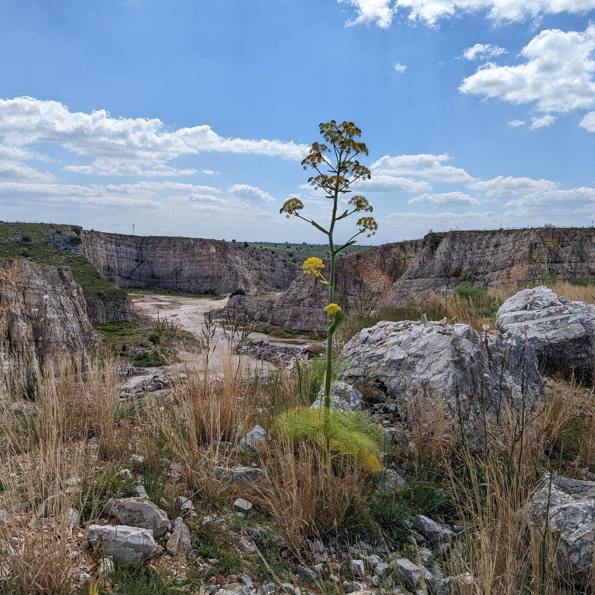
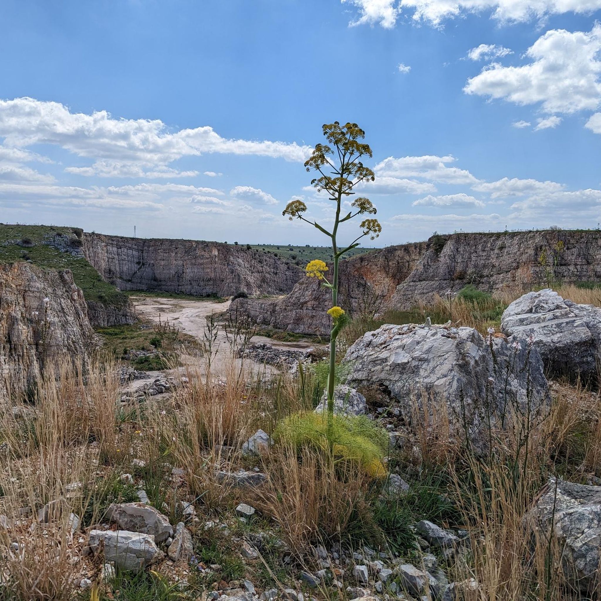
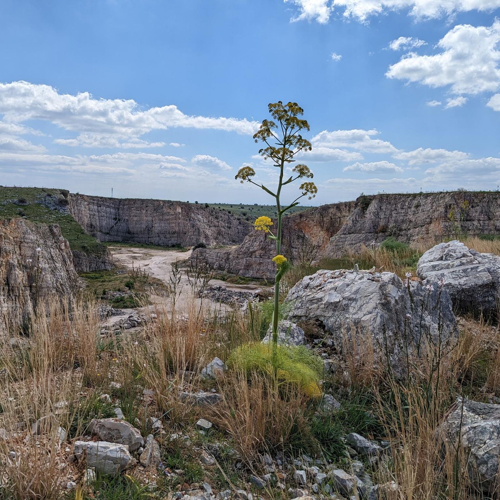
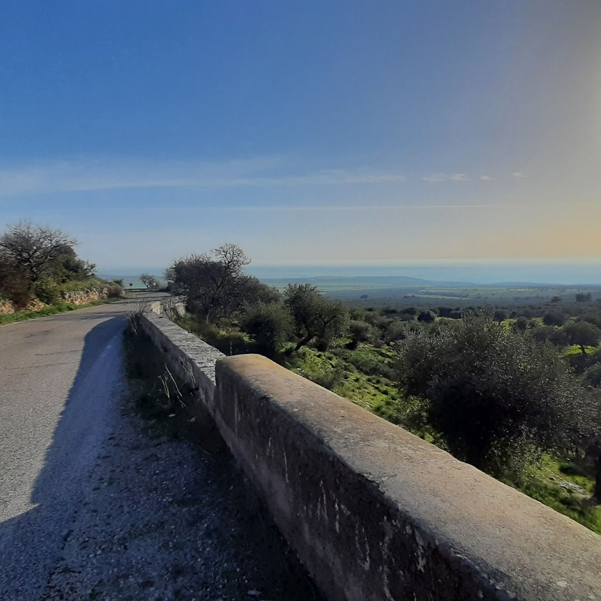

커뮤니티 팁

몬테 첼라노의 정상에 솟아 있는 이 십자가 앞에서, 등반 후 정상에서 잠시 쉬는 분들에게 2025년 부활절 월요일에 선종하신 교황 프란치스코의 다음 말씀이 도움이 될 수 있습니다: + "그리스도의 부활 안에서 우리 각자의 운명은 영원의 무한한 지평선 안에서 그 자리를 찾습니다. 오직 그의 죽음과 부활을 통해서만 우리를 하느님의 사랑에서 갈라놓을 수 있는 것은 아무것도 없다는 확신을 얻게 됩니다 [사도 바오로가 로마서 8장에서 말한 것처럼]. 이 위대한 희망에서 우리는 삶의 시련과 장애물을 극복할 수 있는 다른 모든 빛의 섬광을 얻습니다. 뿐만 아니라, 부활하신 분은 엠마오로 가는 제자들처럼 우리와 함께 걸으며 우리의 동반자가 되십니다."
0
0

On Monte Calvo, it's best to ascend from the east by mountain bike, despite the numerous unnecessary stone steps that clutter the initial section. The trail, which descends west from the summit to connect with the Sentiero delle Anguille, would be less rideable and much more difficult overall.
1
0


Place of Religious Worship
0
0

The church of Santa Maria delle Grazie is a sanctuary located in San Giovanni Rotondo. It is linked to the figure of Padre Pio who celebrated mass there and who is buried here in the crypt of the sanctuary. The original church dates back to the seventeenth century and houses an icon of the Madonna delle Grazie and the new church was built in the fifties to accommodate the numerous pilgrims.
1
0

Excellent panoramic point from which you can enjoy a view that ranges from the Gulf of Manfredonia to the Maiella. From here you can also see the town of San Marco in Lamis and the convent of San Matteo.
6
0
Path that develops within the "Fagarama" canal. Its name is due to the presence of beech trees along the route. It is located near San Marco in Lamis (FG) near the Sanctuary of San Matteo Apostolo.
3
0
라미스의 산마르코 주변에서 가장 인기 있는 명소


더 살펴보기
다른 지역의 최고의 러닝 트레일 & 경로를 살펴보세요.
