경로

플래너

기능

업데이트

App

로그인 또는 가입

앱 다운로드

로그인 또는 가입

경로
하이킹
이탈리아
칼라브리아
코센자

오르소마르소

오르소마르소 최고의 워킹 & 하이킹 경로

4.5

(179)

717

등산객

50

하이킹

정확한 경로를 찾는 것이 때로는 어렵지만 오르소마르소에서 하이킹을 하면 다양한 경치를 마음껏 감상할 수 있답니다. 오르소마르소에서 가장 멋진 하이킹과 워킹 중에서 마음에 드는 활동을 시작해보세요.

마지막 업데이트: 7월 7, 2026

4.7

(26)

101

등산객

#1.

오르소마르소에서 피카라 폭포까지 – 아르헨티노 강 계곡 자연 보호구역

6.67km

01:54

160m

160m

Embark on an easy hike from Orsomarso to the captivating Ficara Waterfall, a journey through the Argentino River Valley Nature Reserve. This route spans 4.1 miles (6.7 km) with a gentle elevation gain of 517 feet (158 metres), taking about 1 hour and 54 minutes to complete. As you hike, you will wind through dense forests, accompanied by the tranquil sounds of the Argentino River. The highlight is the 10-meter (approximately 33 feet) high Ficara Waterfall, a beautiful cascade fed by the Ficara canal.

Planning your visit is straightforward, as the trail is well-signposted and starts conveniently near a parking area. The paths are easily accessible, making this an ideal hike for nearly all fitness levels. Some sections are natural, while others are paved or on roads, offering varied terrain. You can enjoy this easy route without needing special equipment or advanced hiking experience.

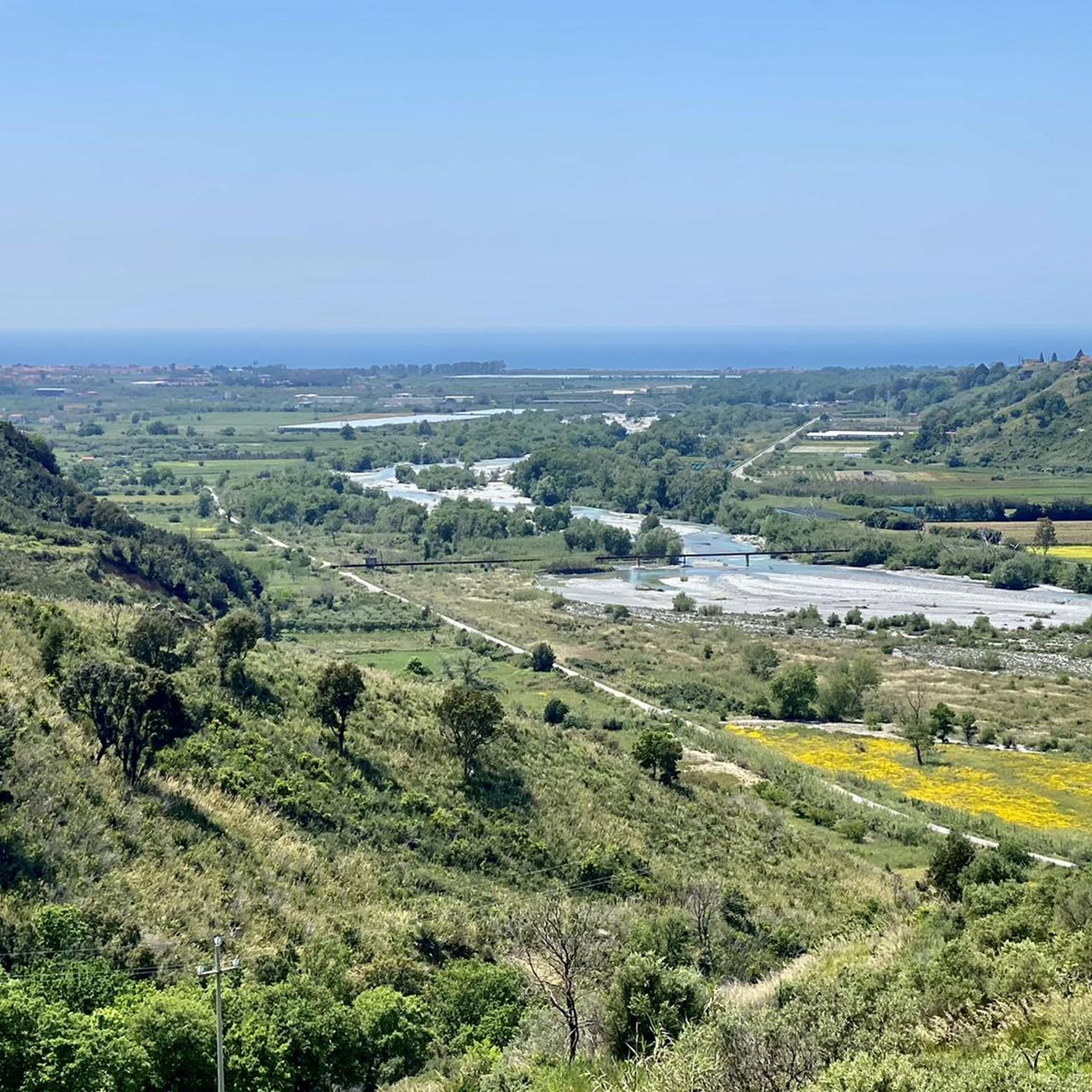
This trail is located within the Valle del Fiume Argentino Nature Reserve, which is part of the larger Pollino National Park and recognized as a UNESCO World Geopark site. The area is rich in biodiversity, offering chances to spot wildlife like roe deer, wild boars, foxes, and hares. Beyond its natural beauty, the valley holds historical significance as an ancient trade and travel route. The village of Orsomarso itself provides a charming starting point, blending natural beauty with cultural heritage.

기기에서 길안내

휴대폰으로 전송

저장

초급

Embark on a moderate hike through the Argentino River Valley, a route spanning 8.5 miles (13.6 km) with an elevation gain of 1035 feet (316 metres). You can expect to complete this journey in about 3 hours and 53 minutes. As you traverse the valley, you'll find yourself amidst dense holm oak forests, crossing the clear waters of the Argentino River over several wooden bridges, with the impressive Ficara Waterfall, dropping approximately 15 metres, serving as a memorable landmark.

To plan your visit, note that the Povera Mosca trail is generally considered accessible for those with some hiking experience. Parking is typically available near the starting point in Orsomarso, providing convenient access to the trailhead. For your comfort and safety, hiking boots and poles are recommended, especially for sections where the terrain can be rugged.

This trail offers a unique opportunity to explore the Argentino River Valley Nature Reserve, an area renowned for its dramatic gorges and towering rocky walls. The route is particularly rewarding for well-trained beginners looking to immerse themselves in the wild landscapes and rich Mediterranean flora of Pollino National Park.

보통
guide_signup
저희가 komoot 모바일 앱로 길을 안내해 드리겠습니다.
무료 komoot 계정로 끝없는 야외 모험을 손쉽게 찾고, 맞춤 설정하며 길안내할 수 있어요.

무료 회원 가입

Embark on a moderate hike from the historic Conte Orlando Refuge to the summit of Monte Palanuda in Pollino National Park. This route covers 7.7 miles (12.3 km) with an elevation gain of 1930 feet (588 metres), typically taking around 4 hours and 6 minutes to complete. You will traverse dirt roads, narrow valleys, and charming beech forests, passing through meadows where Achillea blooms, before reaching the final rocky ascent to the peak. From the summit, a natural balcony, you can enjoy expansive views of the Pollino mountain range and the Tyrrhenian Sea.

To tackle this trail, you should have good physical fitness and be sure-footed, as some sections require careful footing. Sturdy trekking boots, poles, and layered clothing are recommended due to varying conditions and potential weather changes. While enjoyable in many seasons, the route also offers an exceptional experience for snowshoeing or cross-country skiing during winter months.

Monte Palanuda, at 1632 meters, stands as the highest peak in the municipality of Orsomarso, offering exceptional 360-degree views that set it apart. The trail itself follows ancient paths that once connected the mountainous interior with the Tyrrhenian coast. This area is rich in biodiversity, home to beech and black pine trees, and wildlife such as the Apennine wolf, roe deer, and various birds of prey, providing a quieter and more intimate experience compared to other popular peaks in the park.

보통

보통 하이킹. 좋은 체력 필요. 실력과 관계없이 누구나 쉽게 갈 수 있는 길.

보통

보통 하이킹. 좋은 체력 필요. 실력과 관계없이 누구나 쉽게 갈 수 있는 길.

보통
무료 회원 가입 후 오르소마르소 주변 하이킹 경로를 46개 더 확인하세요

더 다양한 경로와 다른 탐험가들의 추천을 살펴보세요.

무료 회원 가입

이미 komoot 계정이 있나요?

투어 추천은 다른 사람들이 komoot에서 완료한 수천 개의 활동을 바탕으로 구성되어 있습니다.

오늘 무료 계정으로 시작하세요

다음 모험이 기다리고 있어요.

로그인 또는 가입하기

오르소마르소 주변 인기 장소

오르소마르소 로드 사이클링 경로

오르소마르소 MTB 트레일

오르소마르소 사이클링

오르소마르소 러닝 트레일

커뮤니티 팁

Mau
5월 28, 2025, Monte Palanuda

E. Feasible on horseback?

번역: Google

0

0

A nice hike with no incline

번역: Google

0

0

Nature reserve which is part of the municipality of Orsomarso and located in the heart of the Pollino National Park. Numerous paths branch off from here.

번역: Google

1

0

There is a picnic area here and a water source, which is located along the Poor Moscow route.

번역: Google

1

0

The Conte Orlando refuge is located at 1193 m and was built in 1904. At the time it was used by the nobles as a base for hunting.

번역: Google

1

0

Monte Palanuda is located at 1632 meters, and from here it is possible to observe the Timpone Garrola. Near Monte Palanuda there is also the point where the Argentino river starts.

번역: Google

2

0

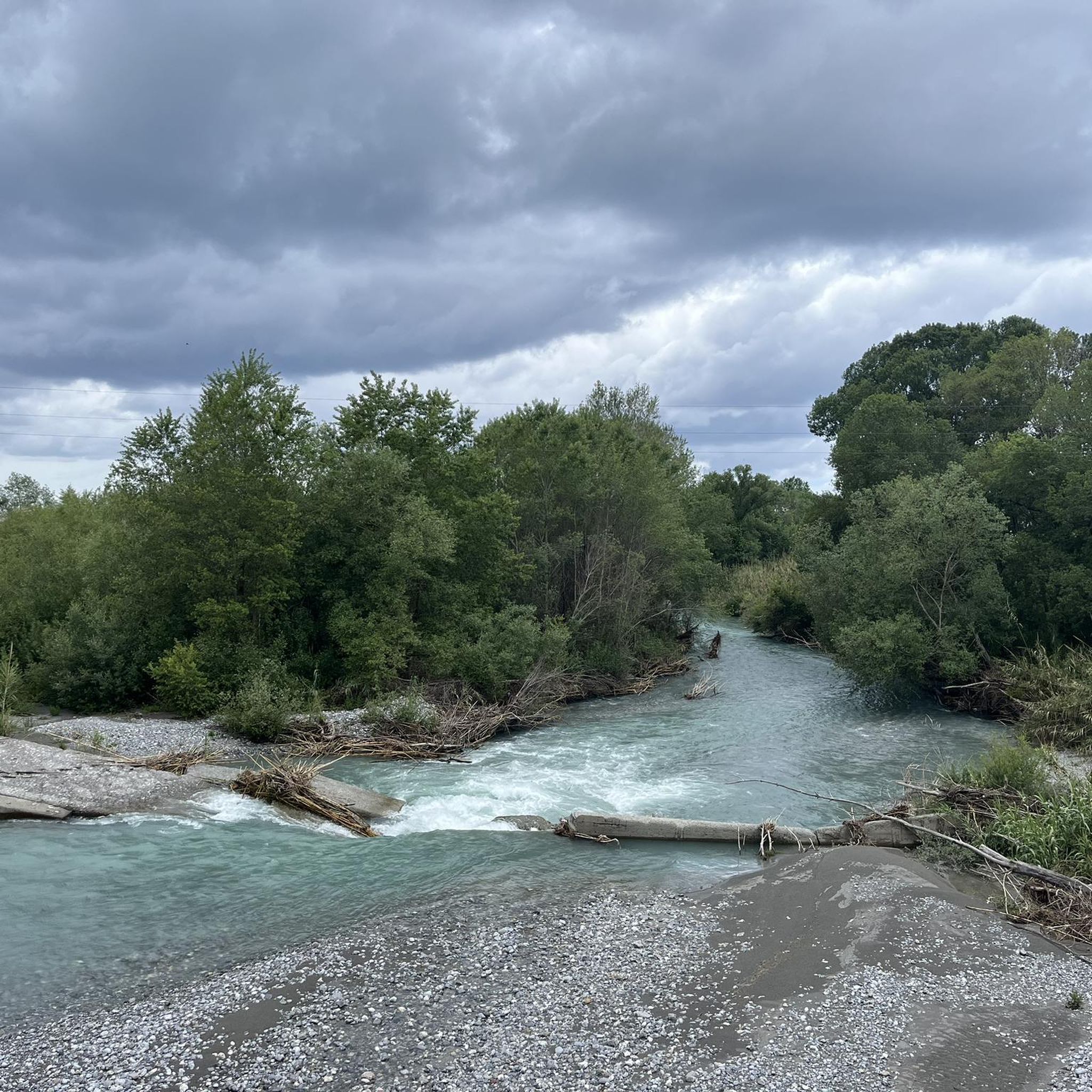
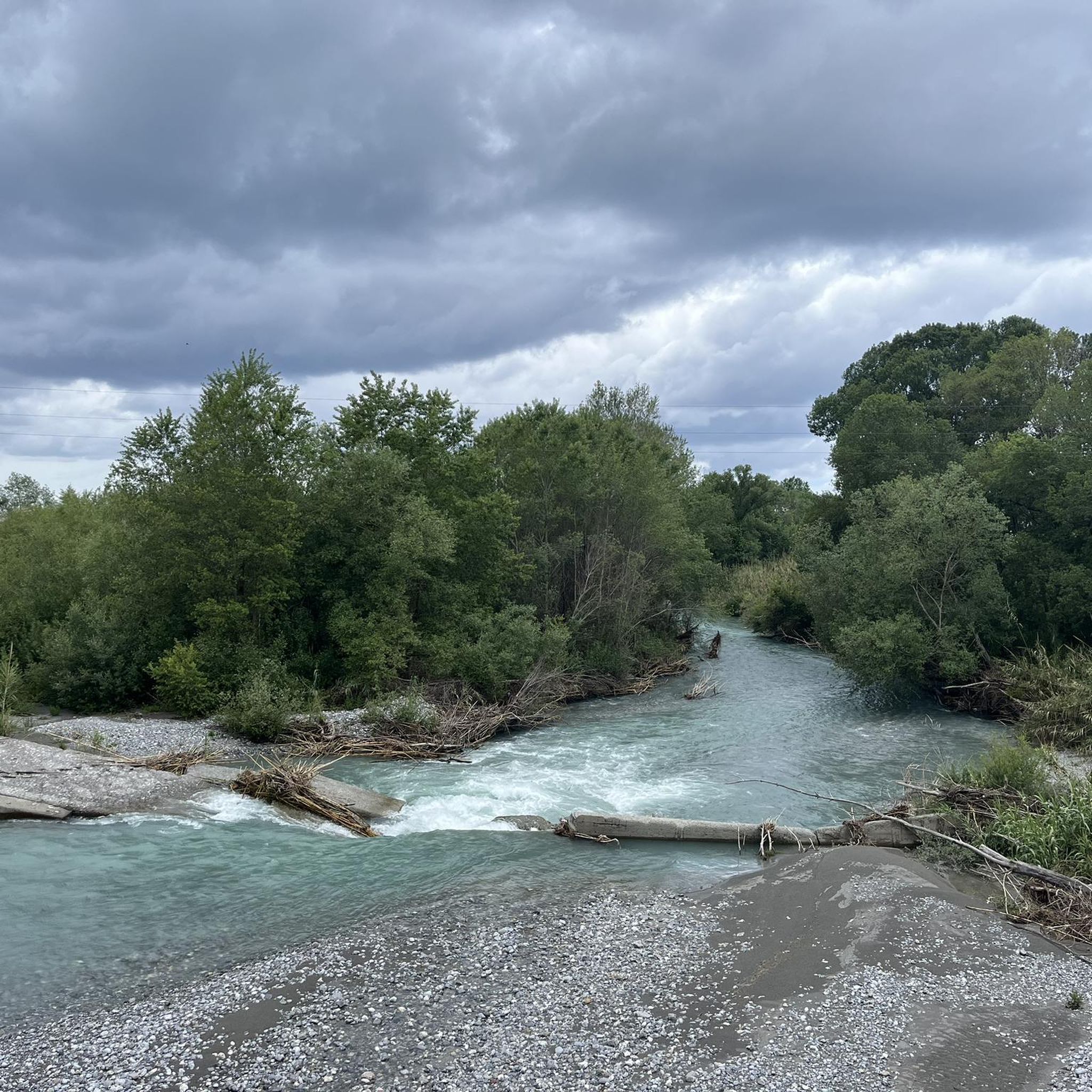
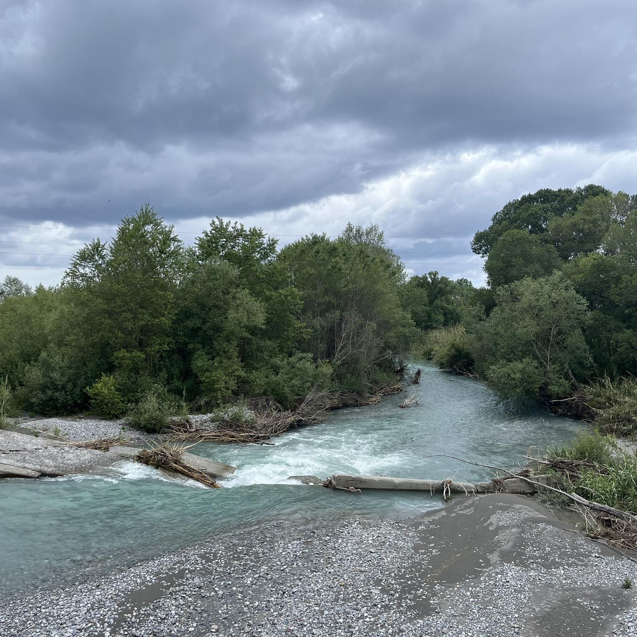
The Ficara waterfall is part of the Valle del Fiume Argentino nature reserve, and is fed by the water brought from the Ficara canal. In this area there are various animals, including roe deer, wild boars, foxes and hares.

번역: Google

3

0

Pic Nic area and water source in the middle of the Povera Mosca path

번역: Google

0

0

오르소마르소 주변에서 가장 인기 있는 경로

오르소마르소 로드 사이클링 경로

오르소마르소 주변에서 가장 인기 있는 명소

Places to see

Store rating

komoot 모바일 앱으로 영감을 받아보세요

무료 komoot 계정로 끝없는 야외 모험을 손쉽게 찾고, 맞춤 설정하며 길안내할 수 있어요.

또는

지금 komoot에 가입하세요

Store rating

더 살펴보기

다른 지역의 최고의 하이킹를 살펴보세요.

실라 국립공원세르키아라 디 칼라브리아모르만노스페자노 델라 실라파파시데로아쿠아포모사모타폴론롱고바르디산 소스티버비카로파렌티롱고부코보투리노 호수벨베데레 마리티모프랑카빌라 마리티마라이노 보르고라이노 카스텔로라고벨몬테 칼라브로Serra Della Guardia플라타치첼리코사라세나룽그로피오레의 산 조반니아르보 호수피우메프레도 브루지오그리졸리아마이에라산타가타 디 에사로말비토부온비치노모라노 칼라브로산지네토아크리산 루시도체시타 호수마라노 프린시파토치비타카사노 알리오니오장미콜로시미알레산드리아 델 카레토푸스칼도세리사노아만테아도마니코캐롤레이팔코나라 알바니아어산 로렌조 벨리지세라 페다이스산 도나토 디 니네아멘디치노산 필리그리말디보니파티세트라로산 바실리산 빈첸조 라 코스타스페자노 피콜로페다이스아이에타비앙키아프리글리아노클레토알토몬테아이엘로 칼라브로빌라피아나피에트라피타디아만테파올라산타 도메니카 탈라오파네티에리산타 카테리나 알바니아산토 스테파노 디 롤리아노Amantea의 산 피에트로카스트로리베로줌파노로지아노 그라비나피그라인 베글리아투로카스트로빌라리라파노프라이아 마레Guardia Piemontese프라시네토망고아리아마치나 호수마라노 마르케사토몬탈토 우푸고피르모카스틸리오네 코센티노로비토트렌타파테르노 칼라브로보치글리에로스케일라토르토라산 베네데토 울라노카솔 브루지오디피냐노세르체토몽그라사노렌데파그나노 카스텔로아콰페사산타 마리아 델 세드로롤리아노트레비사체세라 다이엘로페디빌리아노피안 크라티산마르코 아르젠타노세르비카티과라노의 산 피에트로산 니콜라 아르셀라라타리코로타 그레카로사노코리글리아노 칼라브로팔루디산 마르티노 디 피니타토라노 카스텔로오리올로몬테지오르다노알비도나로카 임페리얼크로팔라티

근처 어드벤처 가이드

버비카로 즐길거리

background

새로운 정복을 위한 준비를 하세요

무료로 가입하기

탐험하기
경로경로 플래너기능하이킹MTB 트레일로드 사이클링 경로바이크패킹사이트맵
앱 다운로드
소셜 미디어에서 팔로우하기

© komoot GmbH

개인 정보 보호 정책