자연과 지질공원 아이젠부르젠에서 가장 멋진 20개의 산 정상
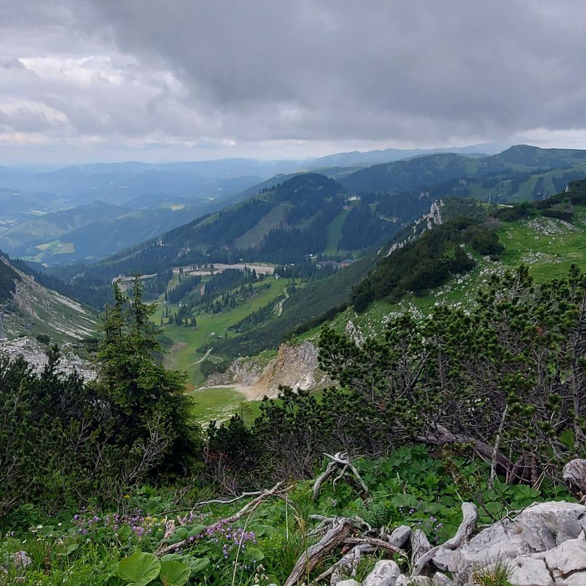
자연과 지질공원 아이젠부르젠의 산 정상에 오르면 이 지역의 아름다운 모습을 제대로 구경할 수 있어요. 다만, 20
곳이나 되는 산 정상 중에서 어떤 곳을 가야 할 지 고민된다는 게 문제죠. 자연과 지질공원 아이젠부르젠에서 가장 멋진 산 정상을 살펴본 후에 마음에 드는 산 정상을 다음 모험 계획에 추가해보세요.
마지막 업데이트: 10월 11, 2026

타미슈바흐투름 정상
하이라이트 • 정상
번역자 Google •
팁에 의해

이런 장소를 발견하려면 지금 가입하세요
최고의 싱글 트랙, 봉우리 및 다양한 흥미로운 야외 장소에 대한 추천을 받아보세요.
턴회헤 (1,439미터)
하이라이트 • 정상
번역자 Google •
팁에 의해


오늘 무료 계정으로 시작하세요
다음 모험이 기다리고 있어요.
자연과 지질공원 아이젠부르젠 주변 인기 장소

북에서 남으로 오스트리아 등산 - 아이젠부르젠 트레일
놀라운 스티리아 국립공원을 탐험하는 — Gesäuse Hut Tour
Enns 사이클로 경로 7단계를 통해 오스트리아의 중심부를 통과
Trans 국립공원 루트를 통해 Kalkalpen
세계의 망치 - 린кс 트레일
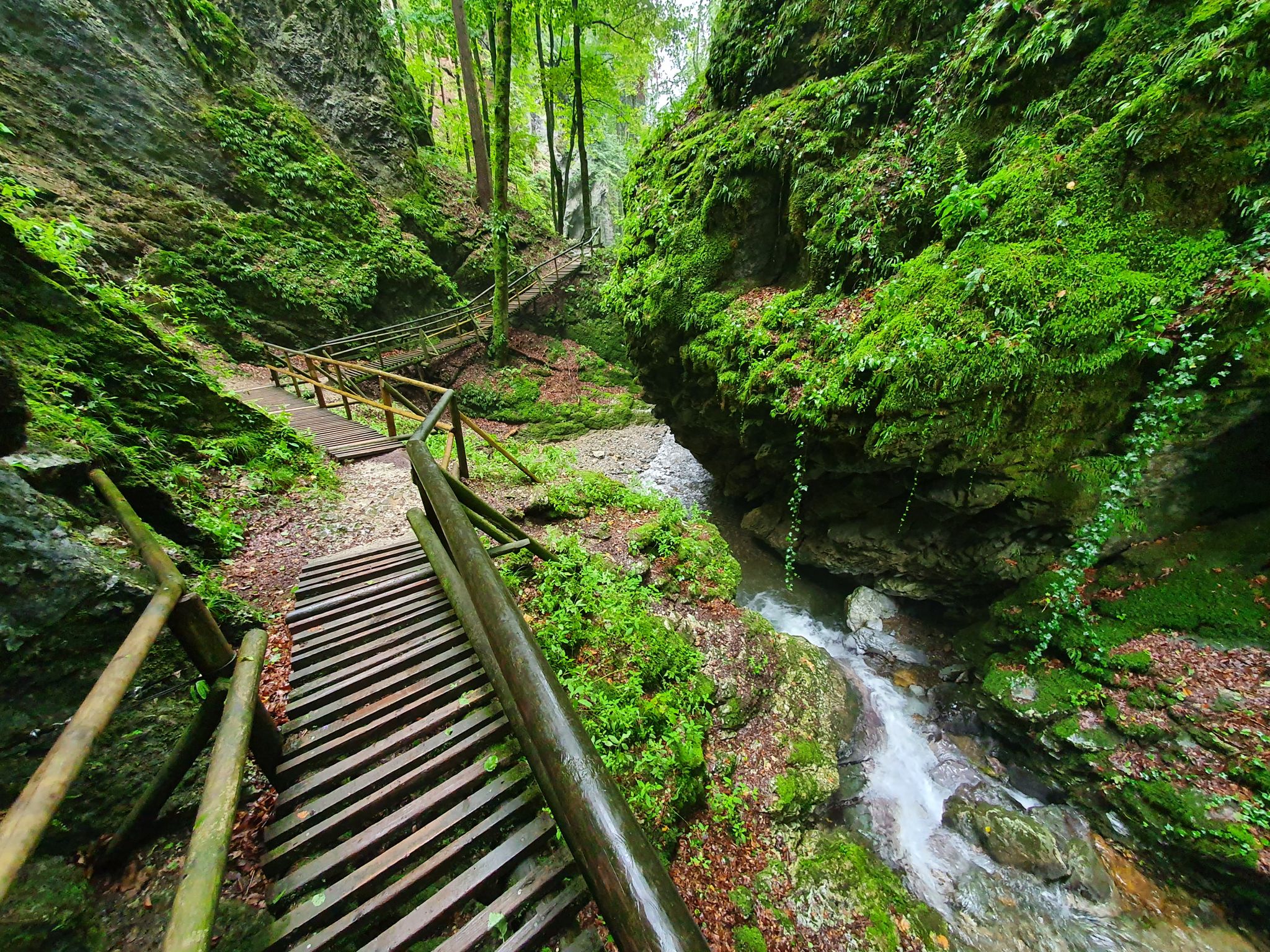
The most beautiful gorges in eastern Austria
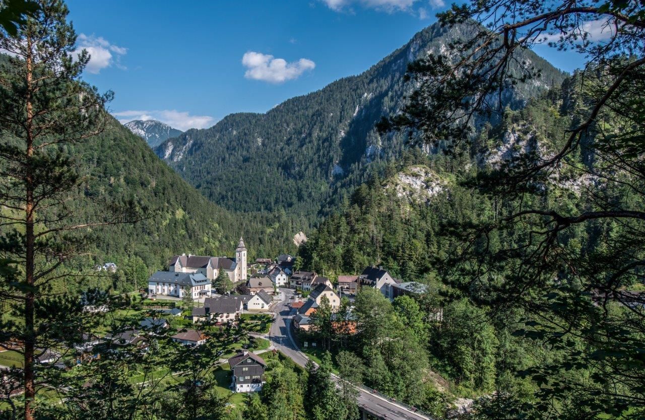
Natur-Aktiv – Familien Wanderungen rund um Wildalpen
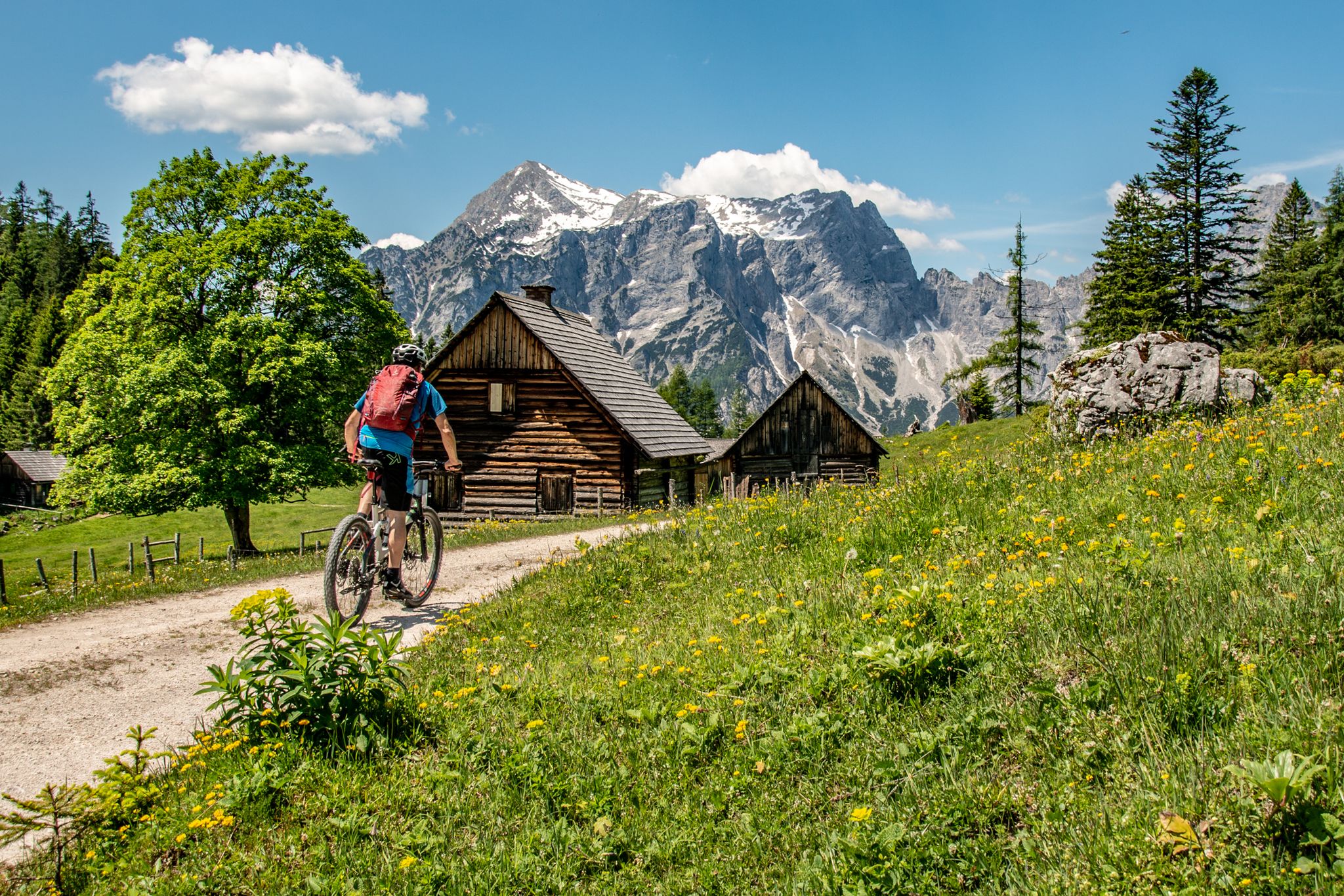
Buchsteinrunde durch die NPs Steirische Eisenwurzen und Gesäuse
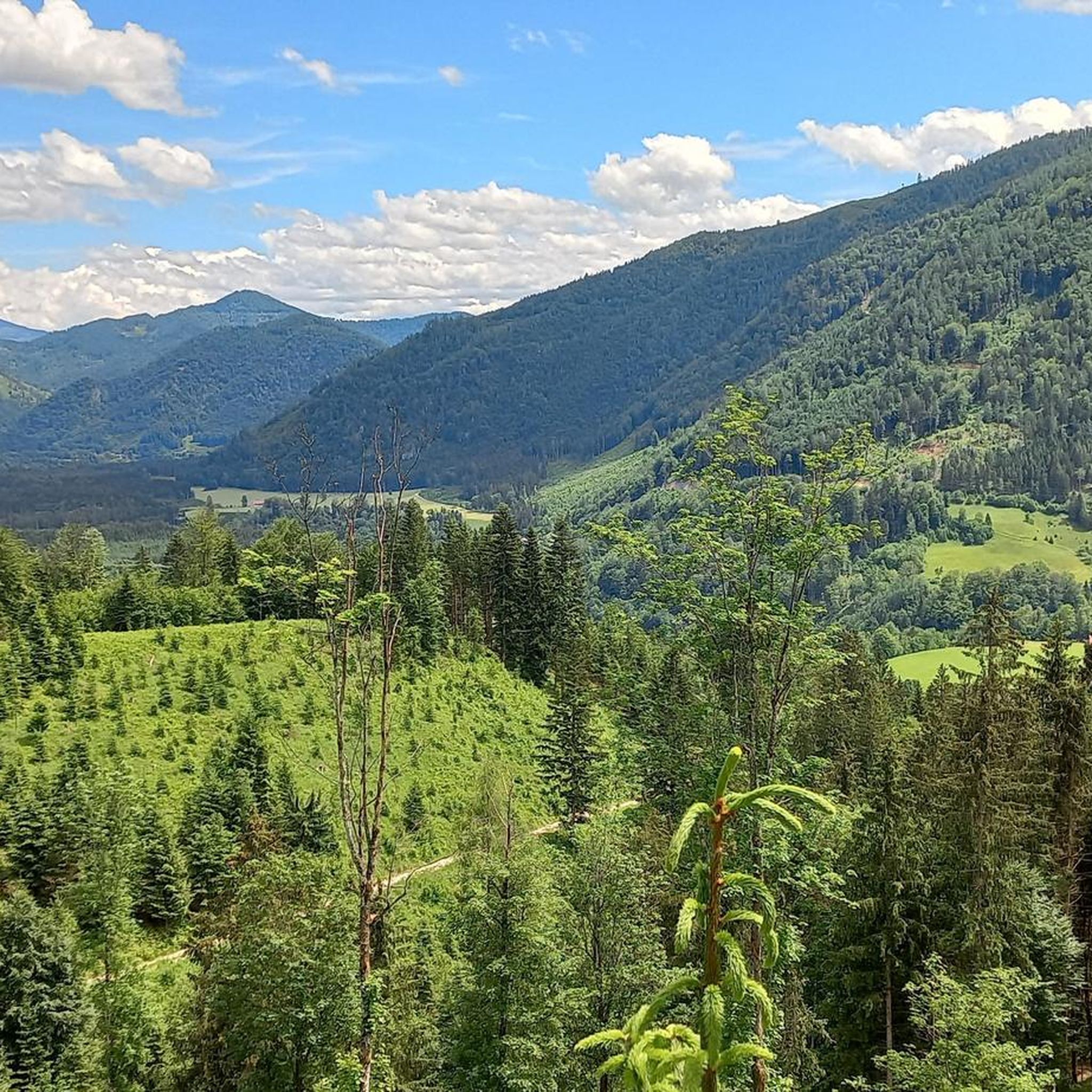
자연과 지질공원 아이젠부르젠 하이킹
자연과 지질공원 아이젠부르젠 MTB 트레일
자연과 지질공원 아이젠부르젠의 다른 모험


커뮤니티 팁

독일의 이야기꾼이자 시인인 Reinhold BRAUN(1879-1959)은 다음 시에서 산악 등반가에게 서두르지 말고 깊고 행복한 정상 휴식을 취하라고 조언했습니다: „어떤 이들은 서둘러 산에 오르고 너무 짧은 정상 휴식을 취하며 아름다움도 햇살도 보지 못하고, 단지 '정상에 있었다'는 사실만을 원하며 일상의 감각과 시선으로 삶의 골짜기로 돌아온다. 진정으로 축복받고 싶다면, 영혼이 맑고 깨끗하게 방황하게 하라: 등반한 것을 즐겨라, 깊고 행복한 정상 휴식 속에서!“
0
0
독일의 이야기꾼이자 시인인 Reinhold BRAUN(1879-1959)은 다음 시에서 산을 오르는 사람에게 깊고 행복한 정상 휴식을 추천했습니다: „어떤 이들은 서둘러 산에 오르고 정상에서 너무 짧게 쉬며 아름다움도 햇살도 보지 못하고, 단지 '정상에' 있었다는 것만을 원하네, 일상의 감각과 시선으로 삶의 계곡으로 돌아가네. 진정으로 축복받고 싶다면, 영혼이 맑고 순수하게 방황하기를 원한다면: 등반으로 얻은 것을 즐기라, 깊고 행복한 정상 휴식 속에서!“
0
0
„Ist es immer was besonderes für dich?“ fragt der Moderator Werner Schmidbauer, als er in einer Folge der Reihe „Gipfeltreffen“ des Bayerisches Fernsehens gemeinsam mit dem Münchner Pfarrer Rainer Maria Schießler das den Berg krönende Gipfelkreuz erreicht. Dessen kurze aber prägnante Antwort möchte ich allen, die am Hochkar vor diesem sakralen Kleindenkmal verweilen, zur Betrachtung anbieten: „Das Kreuz war für mich immer ein Zeichen der Ermutigung, der Hoffnung, des Aufbruchs, des Lebens. So haben's mir meine Eltern vermittelt ...“
1
0

This is the highest point of the bike tour and an absolute must-see because of the stunning panoramic views from this treeless peak! There is a sign saying "Cycling is prohibited up here," but this only serves to protect the owner from lawsuits in the event of a fall caused by your own fault!
0
0

Beautiful summit with views as far as the Gesäuse, the Phyrn-Priel region and the UNESCO wilderness area of Dürrenstein-Lassingtal.
0
0

"The Voralpe, or Voralm, is a mountain in the Ybbstal Alps in the border triangle of Lower Austria, Upper Austria, and Styria. The mountain has two main peaks: the 1,770 m (5,700 ft) high Stumpfmauer on the border between Lower Austria and Upper Austria, which drops steeply to the southeast; and further southwest, the 1,727 m (5,700 ft) high Tanzboden on the border between Lower Austria and Styria. The border triangle is located in the saddle between the peaks. The Stumpfmauer is the highest elevation in the Steyr-Land district. The Voralpe can be climbed from Hollenstein an der Ybbs or from Altenmarkt, partly via roads and partly via trails, in about three hours. The crossing from one peak to the other takes about 45 minutes. The Eisenwurzenweg (Austrian Long-Distance Hiking Trail 08) also leads over the Voralpe." https://de.wikipedia.org/wiki/Voralpe
0
0

It is a beautiful panorama that you can experience here.
0
0

Great summit for MTB/EMTB. We discovered a sand lizard under a stone
0
0
자연과 지질공원 아이젠부르젠에서 가장 인기 있는 경로
자연과 지질공원 아이젠부르젠에서 가장 인기 있는 명소


더 살펴보기
이 가이드를 통해 자연과 지질공원 아이젠부르젠의 더 놀라운 정상들을 확인해보세요:
