몽다르데슈 최고의 러닝 경로
4.3
(376)
8,841
달리기 하는 사람
723
러닝
몽다르데슈에서 하이킹하며 라장티에르 구석 부분까지 살펴볼까요? 몽다르데슈에 있는 모든 하이킹 및 워킹 경로 컬렉션 중 가장 멋진 하이킹 경로를 엄선하여 소개해드릴게요. 다른 하이커가 공유한 실제 팁과 사진을 살펴보고 후기를 읽으며 마음에 드는 몽다르데슈 워킹 경로를 찾아보세요.
마지막 업데이트: 10월 10, 2026
5.0
(4)
95
달리기 하는 사람
24.6km
03:06
380m
380m
A difficult 15.3-mile jogging loop on the Plateau des Grads, featuring ancient dolmens and panoramic views over 1238 feet of elevation gain.
5.0
(1)
86
달리기 하는 사람
9.77km
01:17
350m
350m
This difficult 6.1-mile (9.8 km) jogging loop around Ribes offers 1160 feet (353 metres) of elevation gain and panoramic Pyrenees views.

54
달리기 하는 사람
21.0km
02:57
830m
830m
Jog the challenging 13.0-mile Tour du Tanargue: Loubaresse Loop, gaining 2724 feet of elevation with panoramic views.
4.0
(2)
51
달리기 하는 사람
11.1km
01:30
390m
390m
Challenge yourself on the difficult 6.9-mile Trail 400 D+ loop in the Vallée de la Beaume, offering rewarding views and elevation gain.
47
달리기 하는 사람
7.90km
01:11
280m
280m
어려운 조깅. 좋은 체력 필요. 튼튼한 신발을 신고 미끄러지지 않게 조심해야 하며, 높은 산을 오른 경험이 있어야 함.
더 다양한 경로와 다른 탐험가들의 추천을 살펴보세요.
이미 komoot 계정이 있나요?
투어 추천은 다른 사람들이 komoot에서 완료한 수천 개의 활동을 바탕으로 구성되어 있습니다.
오늘 무료 계정으로 시작하세요
다음 모험이 기다리고 있어요.
몽다르데슈 주변 인기 장소

세베느 - 피레네 산맥까지 - 헥사트레크 협곡과 석회 평원 사이
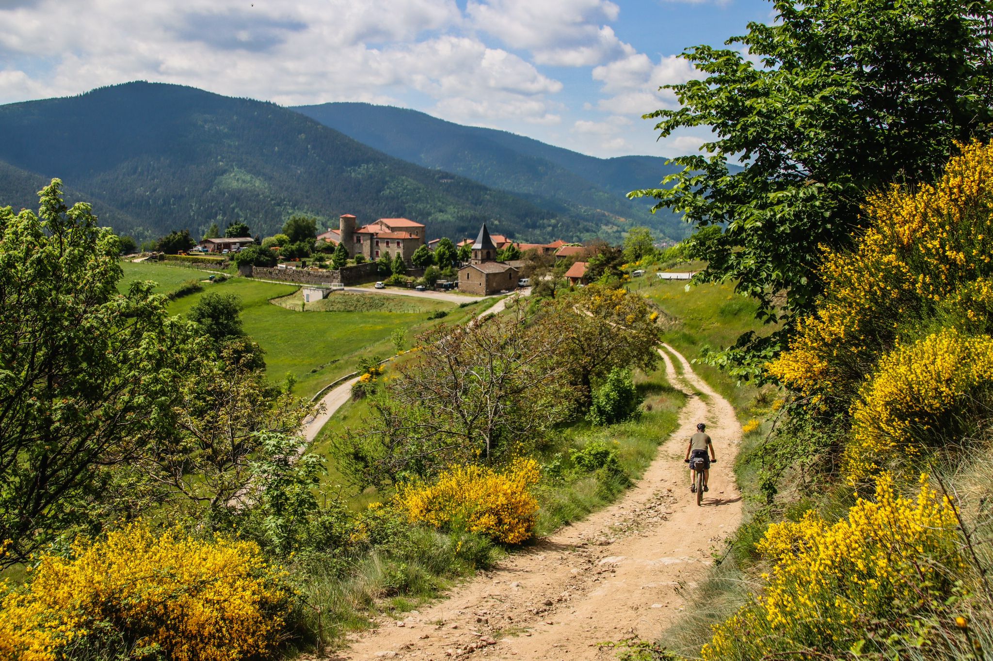
그랑드 트라버세 드 라르델쉐 (GTA)에서 마운틴 바이크
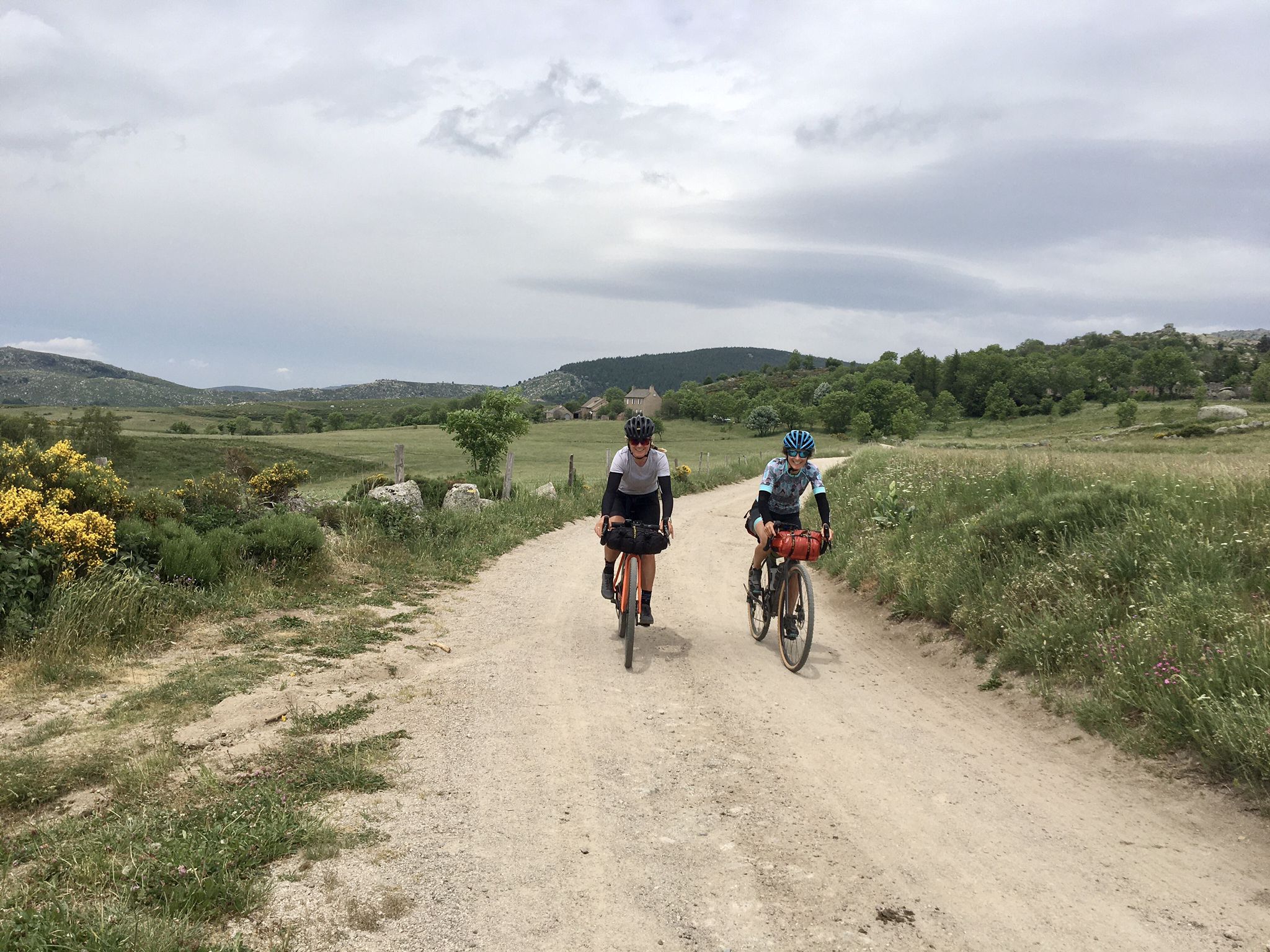
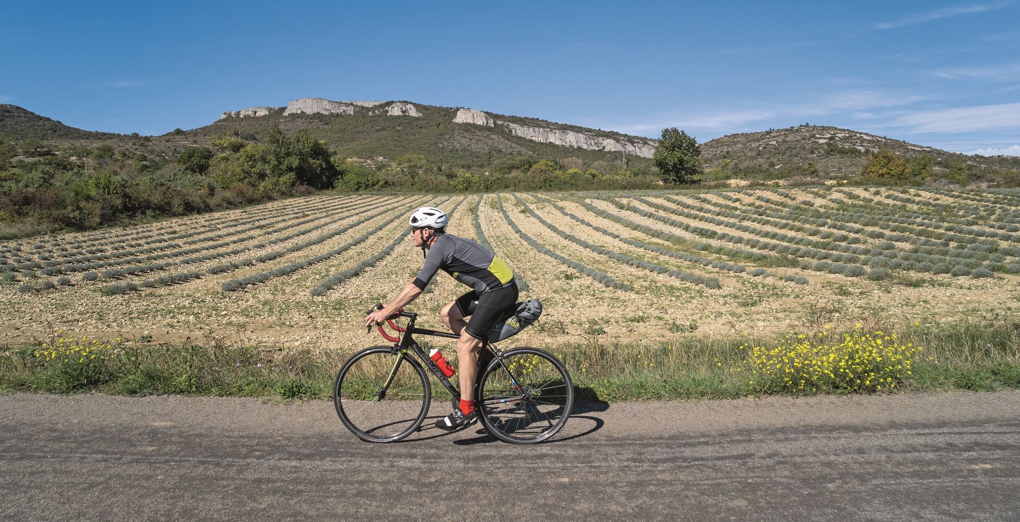
그라벨 자전거로 아르델슈 세벤 디바이드를 바이크패킹
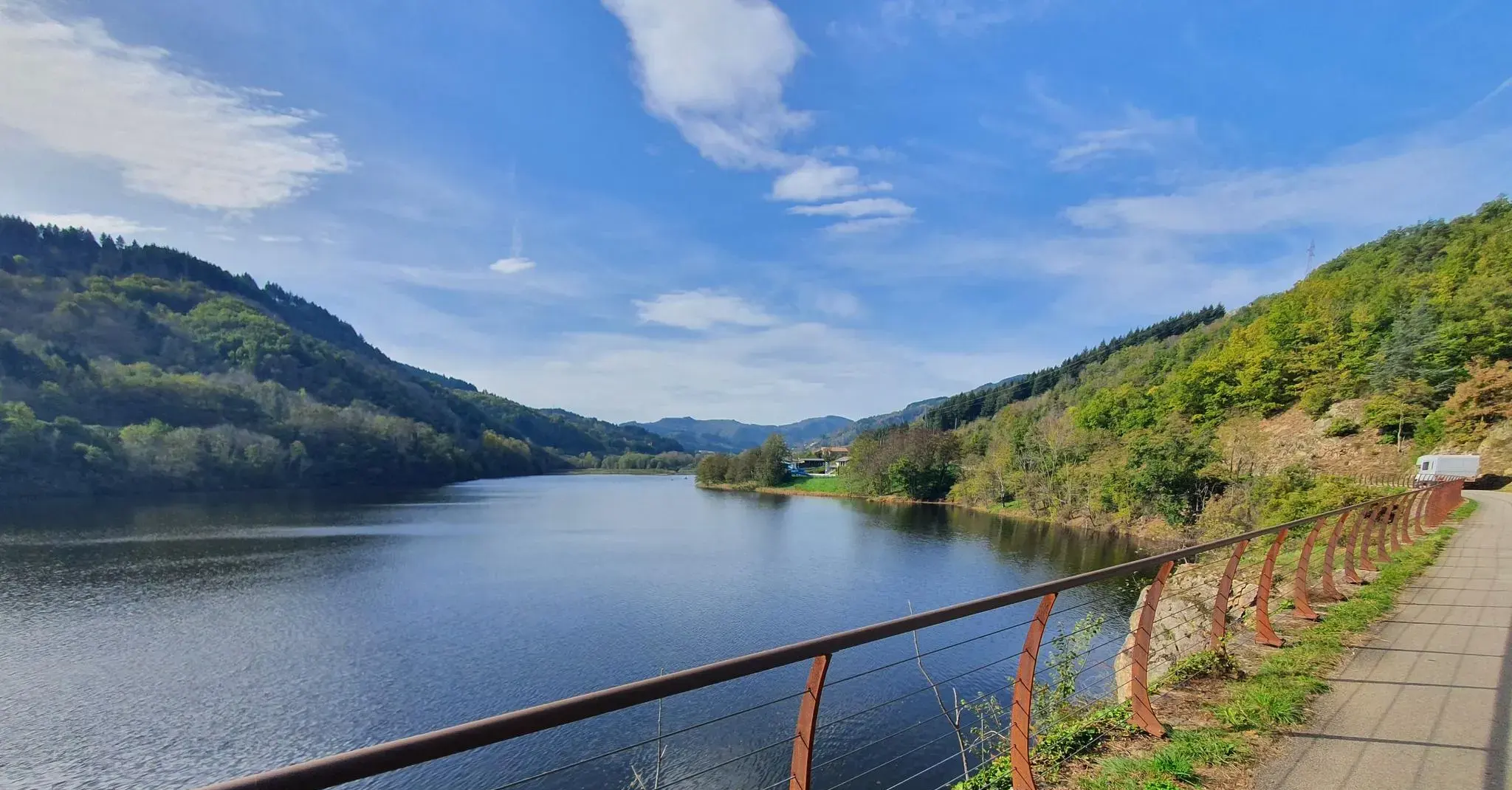
The trails of Ardèche — on the train tracks by bike
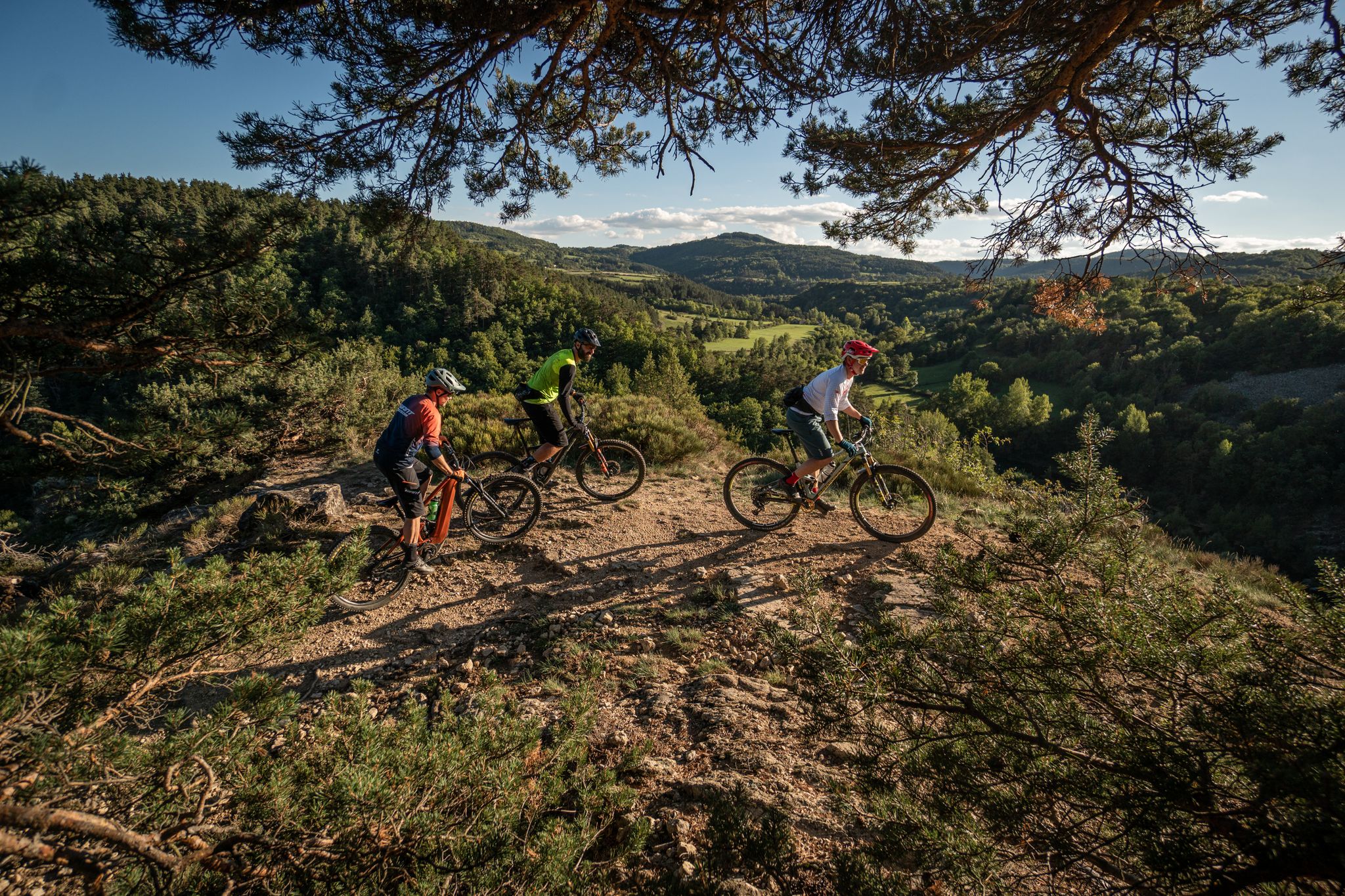
언덕, 협곡 및 숲 – Grande Traversée de la Haute-Loire MTB
右 게드아 만들 - Rhône을 Ardèche을
오키리스 보리화를 수제
드롬에서 아르델까지 - 롱느 경계를 탐험하세요
프랑스의 화산 사이 - Tour des Volcans du Velay (GR 40)
모데스틴의 자취를 따라 — 스티븐슨 트레일 (GR 70)
몽다르데슈의 다른 모험


커뮤니티 팁

Lots of hikers. Be polite and share the trail. The descent with the small steps is a treat.
0
0

A pass at an altitude of over 1500 m. It is the highest in Ardèche.
0
0

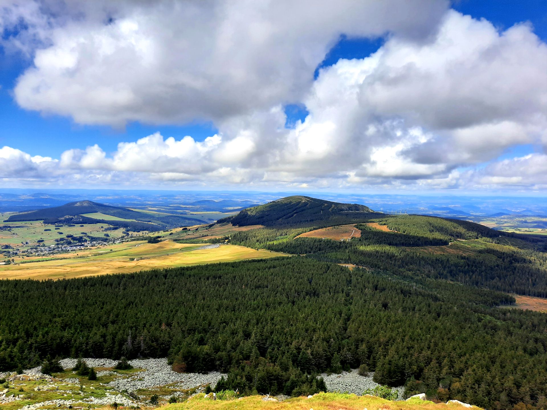
The paths on Mont Mezenc have recently been renovated. Not all of the paths shown are still there. The remaining paths are relatively wide for a mountain peak and easy to walk.
0
0

The Plateau des Gras, occupied in prehistoric times, has many dolmens dating mainly from the 3rd millennium BC. Although most of them have been destroyed over the centuries, the Plateau des Gras and the Labeaume scrubland still have some.
0
0
The Aven du Réméjadou constitutes an impressive opening on the Plateau des Gras onto a vast underground network, submerged almost over its entire length. Isolated in the middle of a forest of shaggy oaks in a ruiniform and chaotic environment of large blocks of limestone, the entrance is characterized by a deep gap. 26 meters high, the well opens directly onto an underground river that can be heard very clearly from the entrance. In heavy rains, the waters of the river sometimes rise up the well with a roar which can then be perceptible from afar. Given its characteristics, the exploration of this network where exposed sections are rare remains the almost exclusive domain of seasoned cave divers.
0
0
Pretty village perched in the middle of the vineyards, Ribes is a small town in the Ardèche department, nestled in the heart of the Beaume and Drobie valleys, in the Regional Natural Park of the Monts d'Ardèche. It is characterized by beautiful terraces (faïsses) where chestnut trees, olive trees and vines grow.
0
0
La Beaume, a tributary of the Ardèche, is a 40km long river which originates in Loubaresse at an altitude of 1190m, from a multitude of steeply sloping streams flowing down the sides of mountains planted with forests, overlooking the valley. . The whole valley and the Beaume gorges offer pretty sandy and rocky beaches to fully enjoy swimming.
0
0


더 살펴보기
다른 지역의 최고의 러닝 트레일 & 경로를 살펴보세요.
