20의 두르미토르 국립공원가지 명소 & 주요 장소
두르미토르 국립공원에는 둘러볼 만한 장소가 많답니다. 하이킹 또는 사이클링을 좋아한다면 두르미토르 국립공원에 숨겨진 20
가지 보석을 만날 수 있을 거예요. 이 지역의 주요 명소를 살펴보면서 다음 모험을 계획해보세요.
마지막 업데이트: 10월 23, 2026
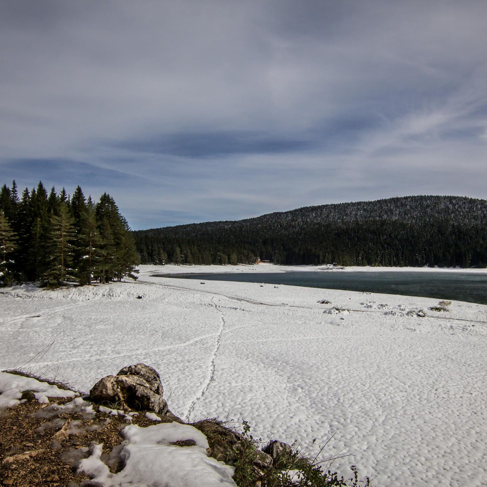
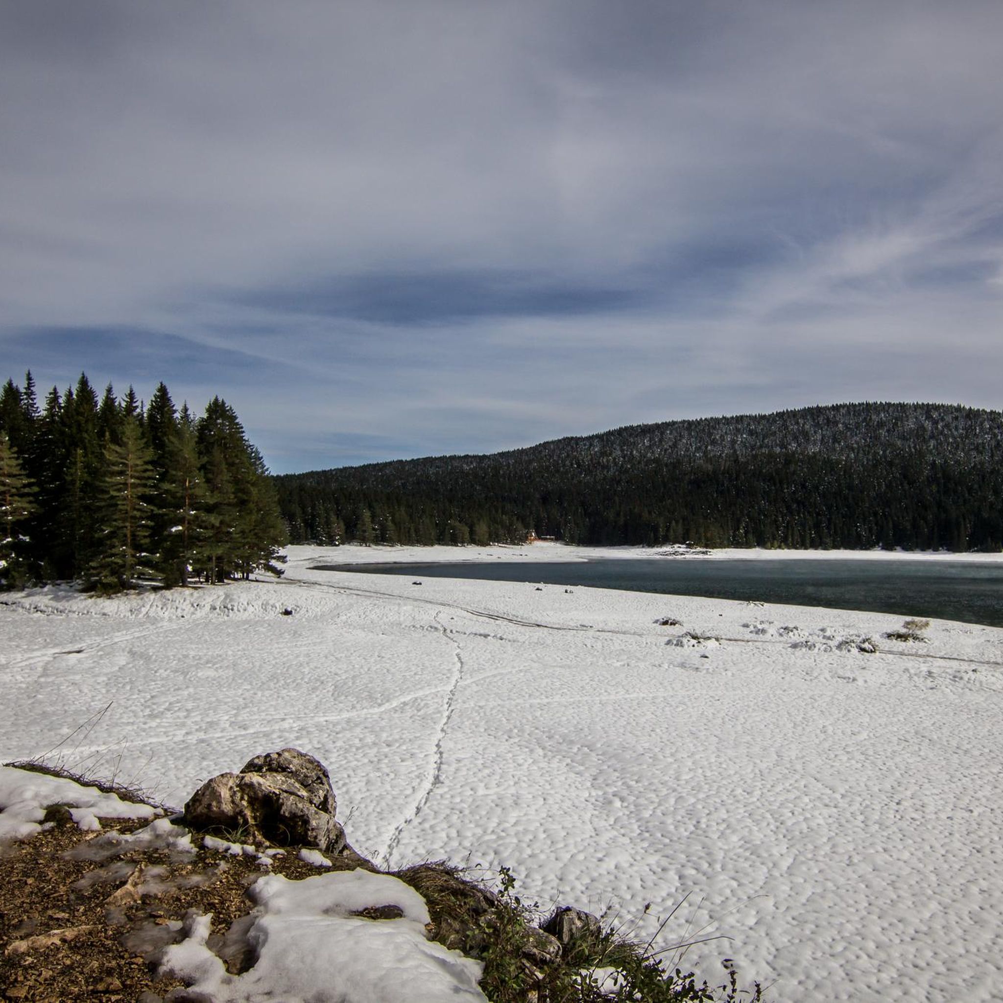
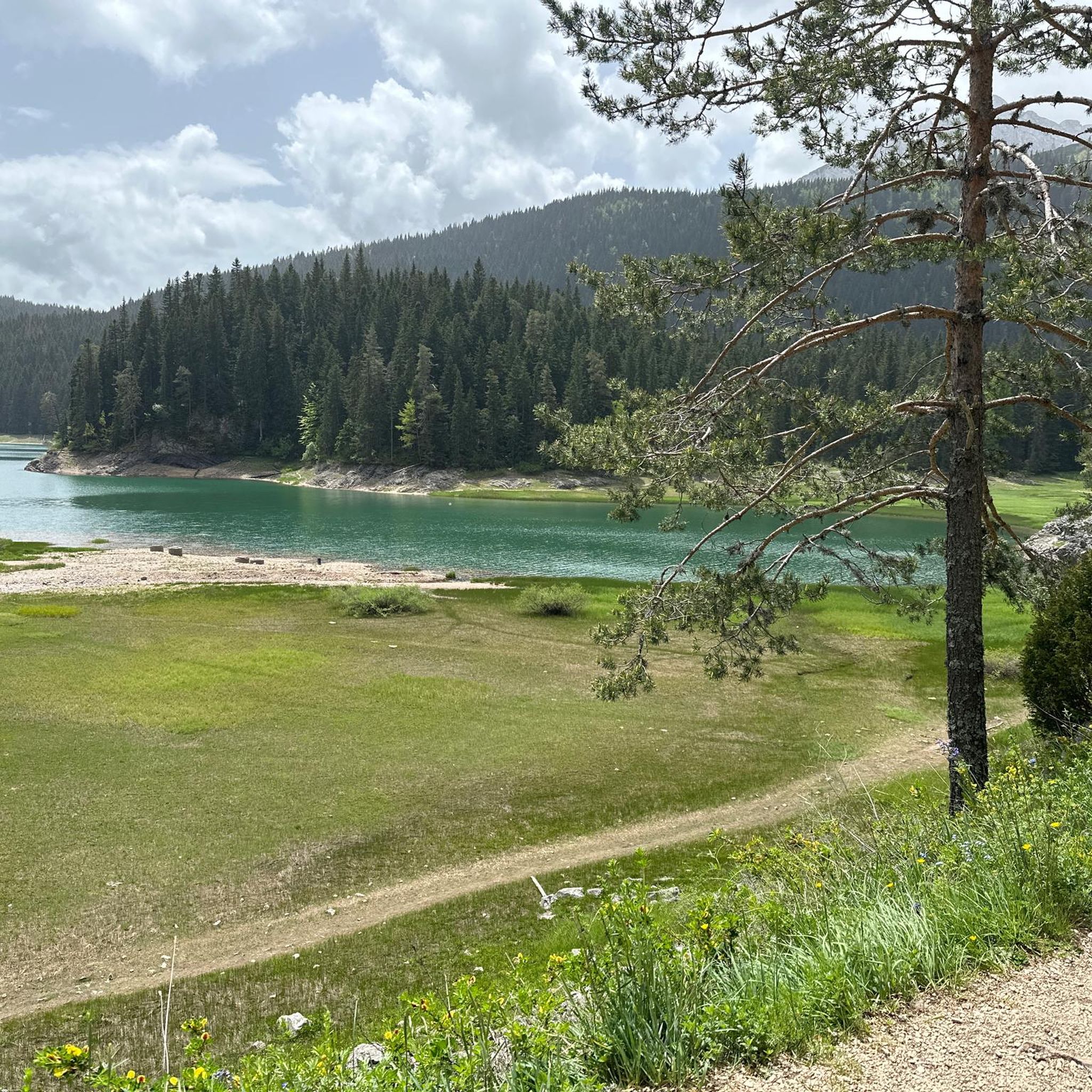
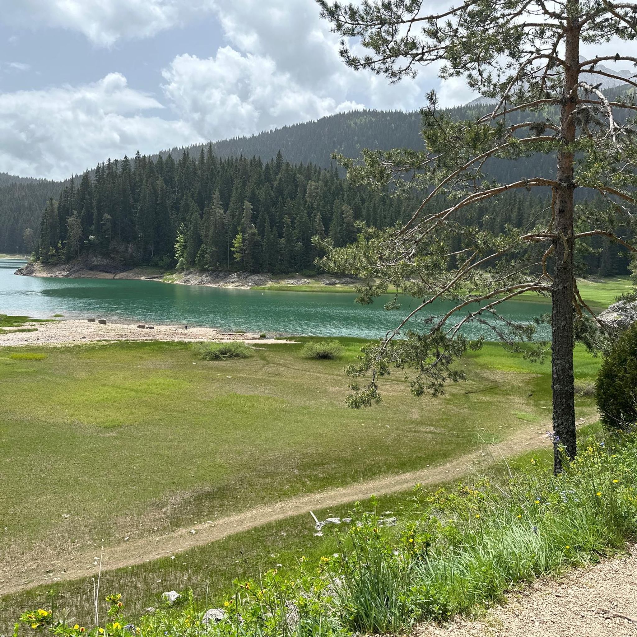
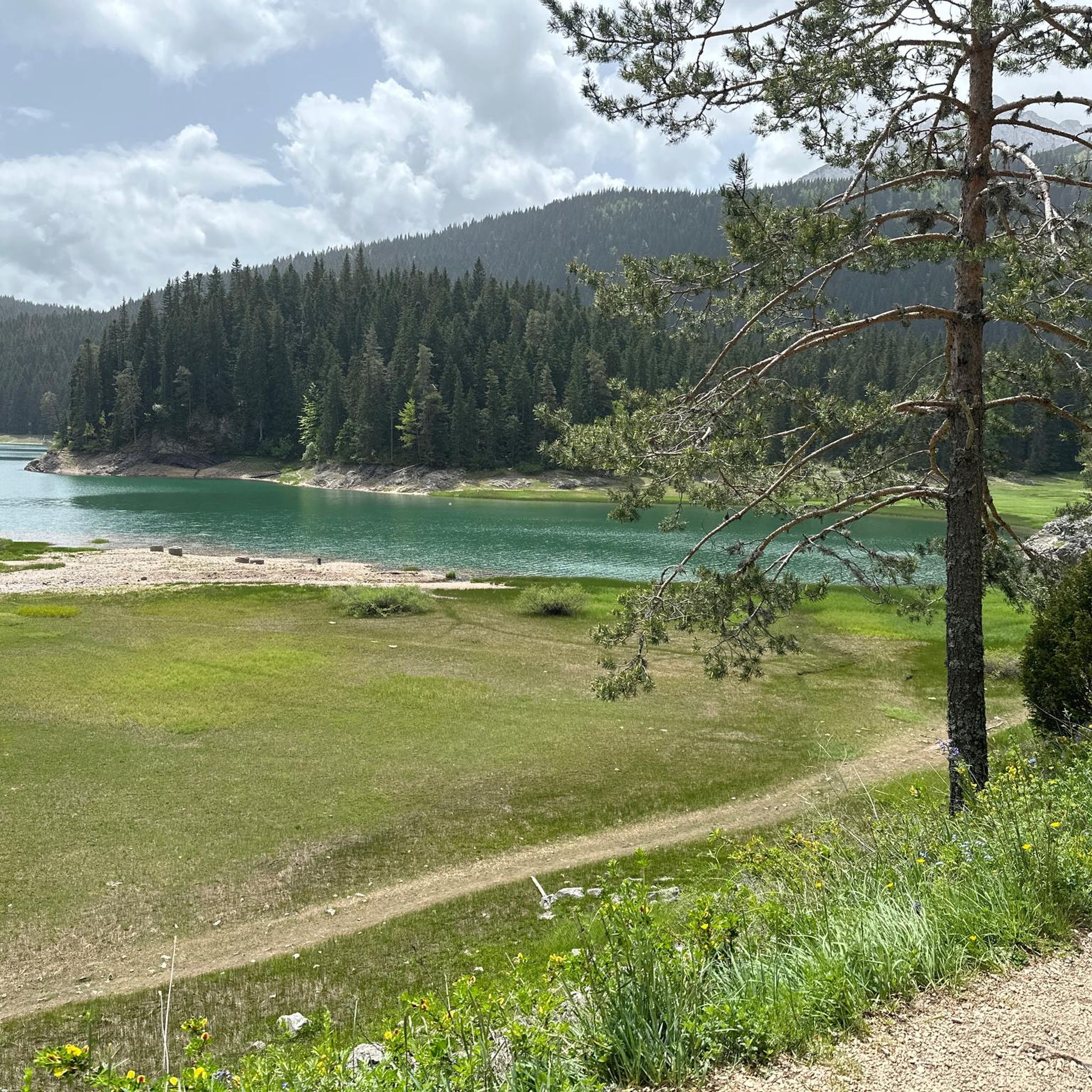
검은 호수(크르노 예제로) 전망
하이라이트 • 전망대
번역자 Google •
팁에 의해

보보토브 쿠크 정상으로 가는 비아페라타
하이라이트 • 등반
번역자 Google •
팁에 의해

이런 장소를 발견하려면 지금 가입하세요
최고의 싱글 트랙, 봉우리 및 다양한 흥미로운 야외 장소에 대한 추천을 받아보세요.
레디나 페치나 아이스 케이브
하이라이트 • 동굴
번역자 Google •
팁에 의해


두르미토르 국립공원 - 프레보이 세들로
하이라이트 (구간) • 산악 고개
팁에 의해

무료로 가입하여 두르미토르 국립공원의 더 많은 명소를 발견하세요.
이미 komoot 계정이 있나요?
오늘 무료 계정으로 시작하세요
다음 모험이 기다리고 있어요.

커뮤니티 팁

투어는 (안내된 대로) 반드시 시계 반대 방향으로 도세요. 동굴 1~2km 전에는 약간의 고도 차이를 등반하듯 올라가야 합니다. 이곳은 다른 구간들과 마찬가지로 지지력이 좋은 신발과 고소공포증이 없는 것이 도움이 됩니다. (여러 곳에서) 손을 확실히 사용하게 됩니다. 동굴로 가는 길은 숨이 막힐 정도로 아름답습니다. 동굴은 (더 이상) 들어갈 수 없지만, 저희에게는 문제가 되지 않았습니다. 길 표시를 찾기 어려운 곳이 몇 군데 있는데, 보통 길에서 약간 벗어나면 길이 더 험해지기 때문에 금방 알아차릴 수 있습니다. 도전적인 오르막길(고도 차이, 고르지 않은 지면, 중간 정도의 체력 수준) 때문에 하이킹 시간이 지체되었습니다. 하산할 때의 자갈길은 길을 힘들게 만듭니다. 하지만 무조건 다시 올 거예요!
0
0
정상에서의 멋진 전망! 하지만 서쪽의 Todorov Do에서 오는 경로는 매우 가파르고 좁은 구간과 가파른 절벽이 있어 확실히 어렵습니다. 일부 구간은 등반 경험이 필요하며, 이 길로 하산하는 것은 불가능해 보입니다. 남쪽의 Dobri Do에서 오는 경로는 오르내림 모두 훨씬 더 나은 선택으로 보입니다. Todorov Do 경로는 보통이 아닌 어려움으로 확실히 평가되어야 합니다.
3
0

After a somewhat strenuous climb, we repeatedly climb through mountain pines, with a short exposed section. Then don't miss the turnoff to the ice cave, which is very surprising and a highlight for me. Chamois are grazing and are not bothered. After the cave, a magnificent panorama. The descent is marked by repeated scree fields, making it a bit strenuous. Great tour
1
1
We just completed this hike in early June. The ascent (via Todorov Do) is very technical and challenging for inexperienced hikers (30/40 degree slope, rocky and unstable terrain, some climbing, etc.). The descent (which is actually the ascent to the summit of the other side, which is another hike - a loop with a lake viewpoint, starting from the Dobri Do parking lot) is much simpler. Note that the end of the hike in the plain to return to the car is not at all signposted, the path is not easily visible, and the GPS track does not always match; you are mostly off-piste.
3
3
The ticket for Durmitor National Park is valid all day. We were able to enter 2 different parks with the same ticket. Same day, ticket is valid for 24 hours.
4
0
The ascent via Todorov do is difficult, scree then climbing passages follow one another before reaching the summit. We left the road which comes from Zabljak a few kilometers before this departure. It joins hill 2100, Prutaski do, and the path which goes up to Prutas. This route is much easier. On the other hand, we went down the path that leads to Todorov do. Very uneven route, but which is done with great attention and caution. Around 4h30 with breaks.
2
1
Definitely advise an 8am start from the car park if you wish to avoid traffic jams on the fixed cables at the top. Fixed cables themselves are ok and sections are not difficult, just a little exposed for people without experience.
2
4

The Durmitor is a mountain massif in the north of Montenegro that belongs to the Dinarides mountain range. The Durmitor National Park, which surrounds the massif and was declared a national park in 1952, has been a UNESCO World Heritage Site since 1980. The highest peak of the Durmitor massif is the Bobotov Kuk at 2522 metres. 48 peaks of the Durmitor massif are higher than 2000 metres.🚴
0
0
두르미토르 국립공원에서 가장 인기 있는 명소


더 살펴보기
찾고 있는 하이라이트를 아직 못 찾으셨나요? 다른 지역의 주요 명소 가이드를 확인해보세요:
