슈미텐 최고의 사이클링 경로
4.5
(129)
619
자전거 타는 사람
40
라이딩
슈미텐 최고의 사이클링 경로를 따라 지역을 둘러볼까요? 슈미텐에서 가장 멋진 자전거 라이딩 장소 중에서 가장 마음에 드는 라이딩을 선택해보세요.
마지막 업데이트: 9월 7, 2026
4.7
(19)
63
자전거 타는 사람
39.6km
03:15
660m
660m
어려운 자전거 타기. 우수한 체력 필요. 대부분 포장된 지면. 실력과 관계없이 누구나 갈 수 있음.
4.7
(11)
50
자전거 타는 사람
21.3km
01:46
490m
490m
어려운 자전거 타기. 우수한 체력 필요. 투어 중 자전거를 끌고 가야 하는 구간이 있을 수 있음.

4.9
(15)
59
자전거 타는 사람
27.6km
02:05
460m
460m
어려운 자전거 타기. 우수한 체력 필요. 대부분 포장된 지면. 실력과 관계없이 누구나 갈 수 있음.
5.0
(1)
38
자전거 타는 사람
24.0km
02:09
540m
540m
어려운 자전거 타기. 우수한 체력 필요. 투어 중 자전거를 끌고 가야 하는 구간이 있을 수 있음.
5.0
(3)
29
자전거 타는 사람
36.1km
02:39
470m
470m
어려운 자전거 타기. 우수한 체력 필요. 대부분 포장된 지면. 실력과 관계없이 누구나 갈 수 있음.
더 다양한 경로와 다른 탐험가들의 추천을 살펴보세요.
이미 komoot 계정이 있나요?
투어 추천은 다른 사람들이 komoot에서 완료한 수천 개의 활동을 바탕으로 구성되어 있습니다.
오늘 무료 계정으로 시작하세요
다음 모험이 기다리고 있어요.
슈미텐 주변 인기 장소
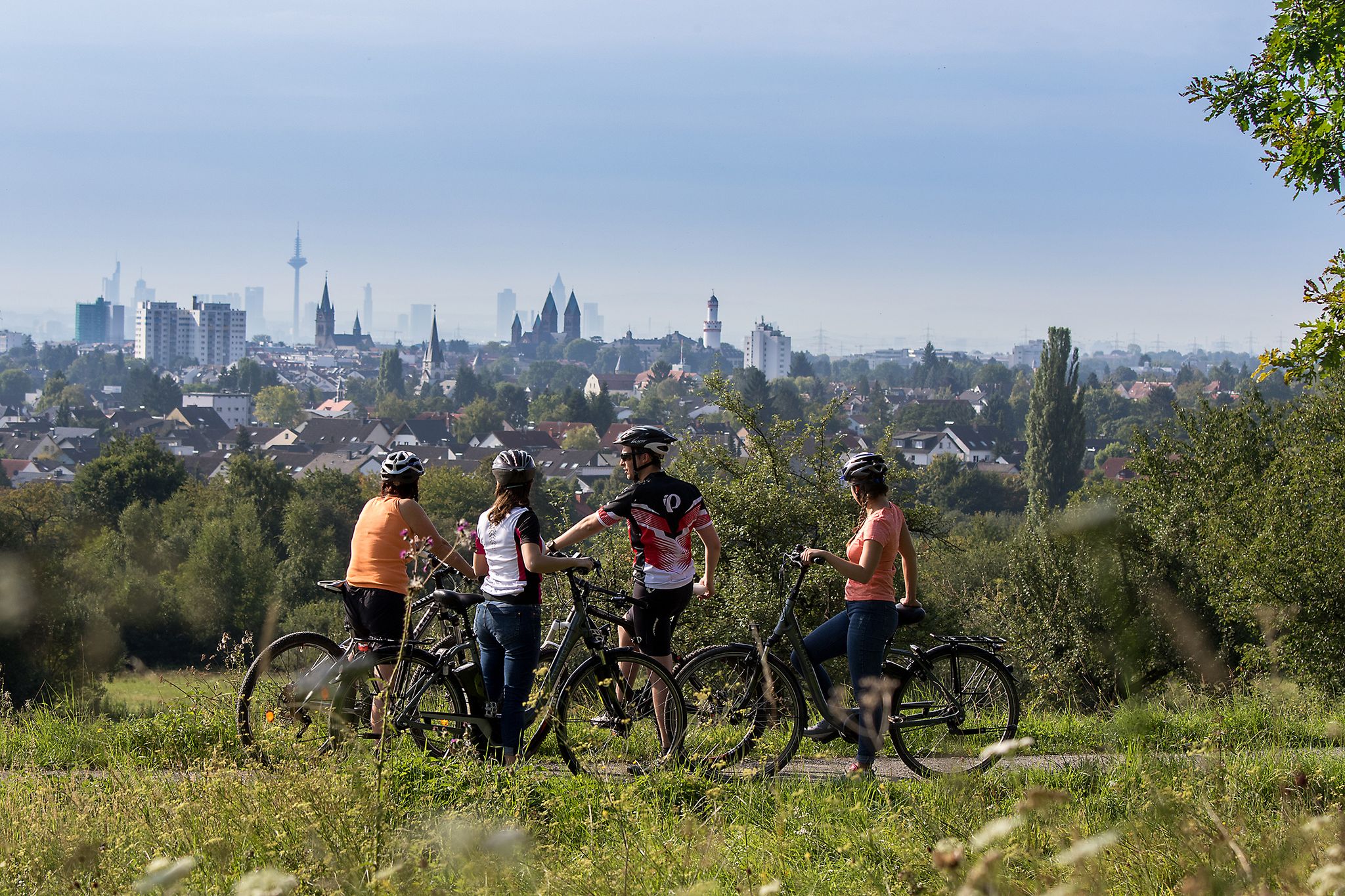
From safari to world heritage — cycling tours in the Taunus region

Delightfully scenic hiking in the Taunus range
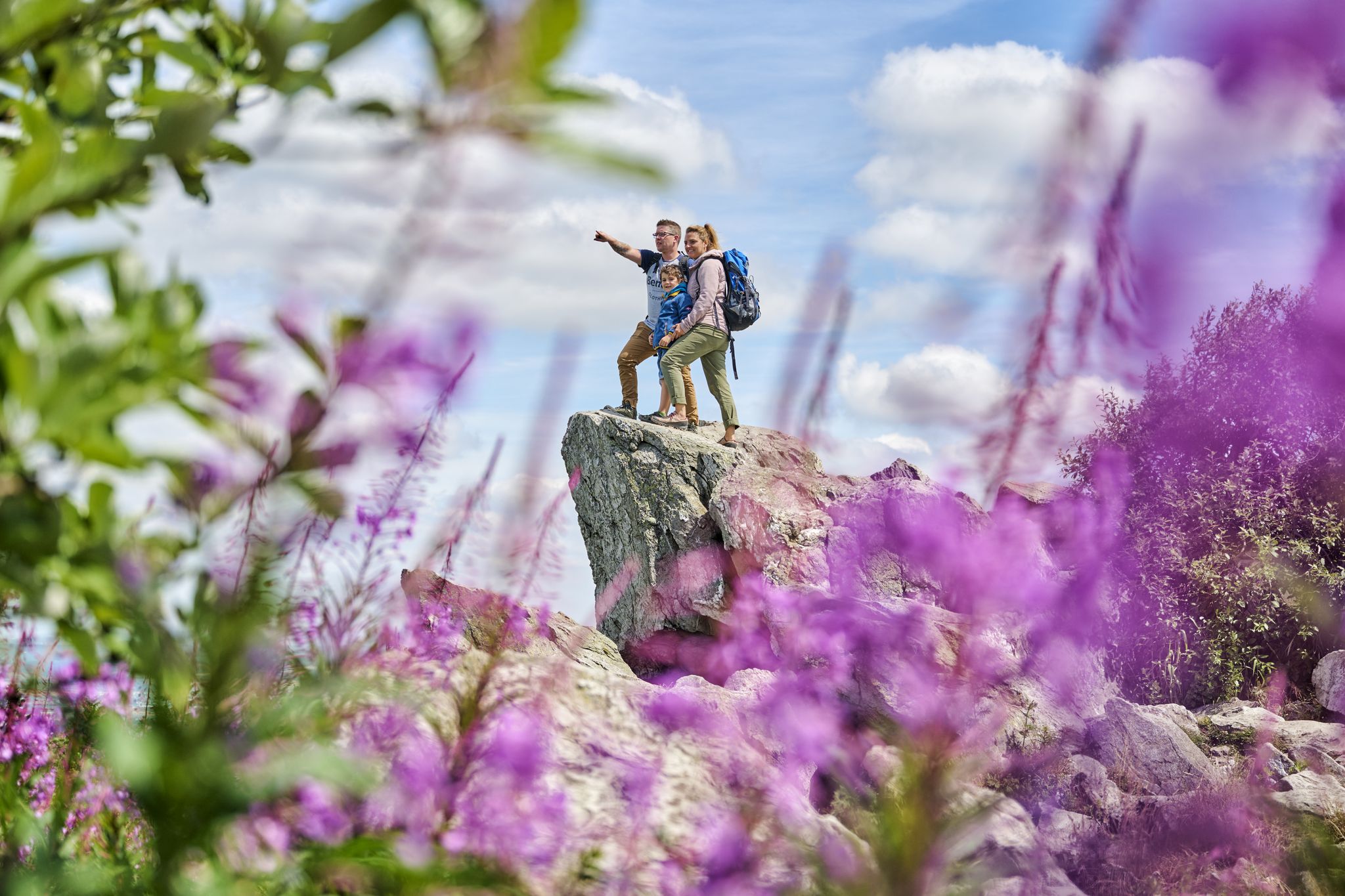
History, forest and gnomes – hiking in Germany’s Hochtaunus region

Varied winter hikes in Germany’s Rhine-Main region

Spring is here – hiking with family by bus & train in Rhine-Main
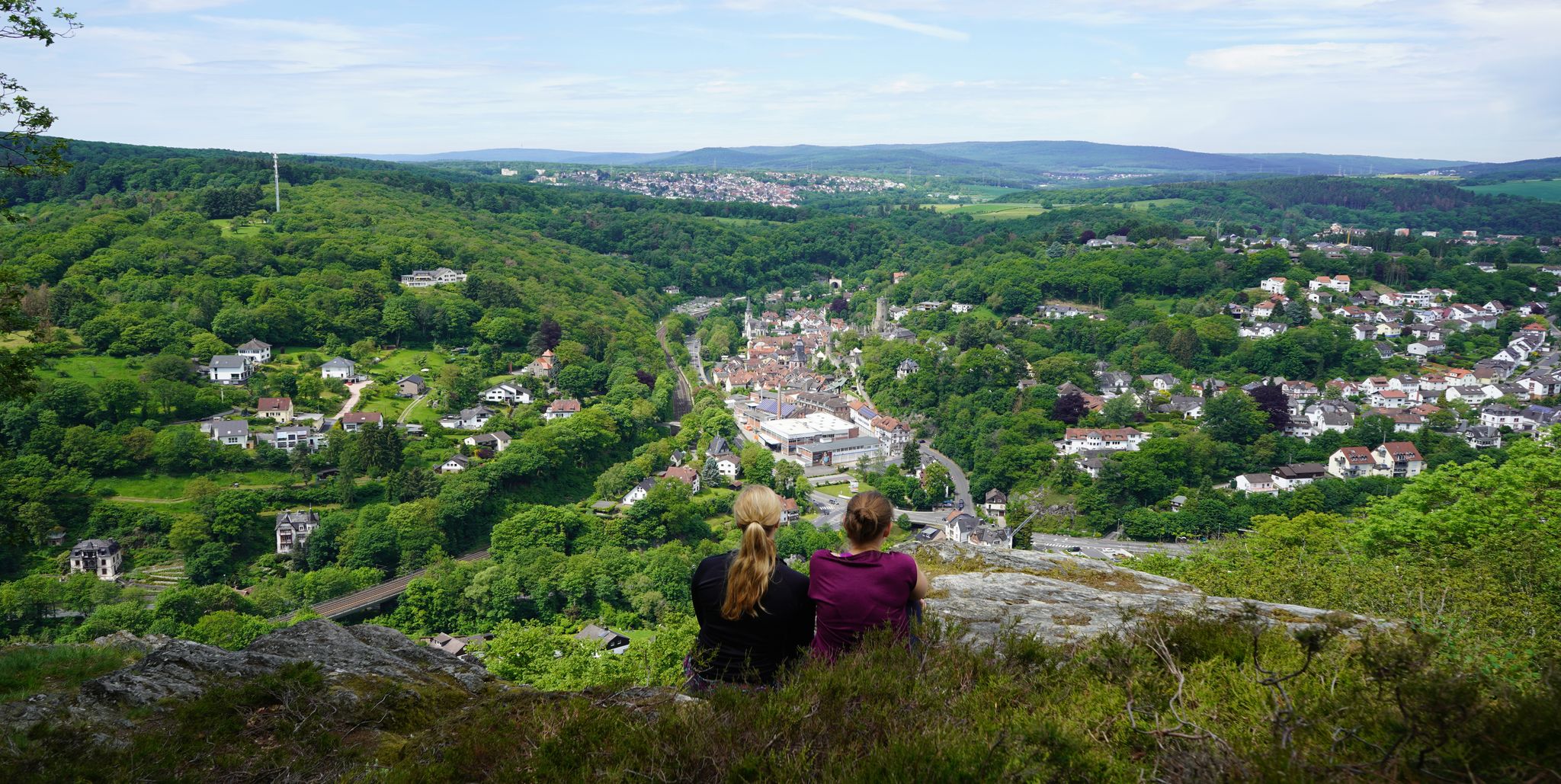
Exploring nature — hikes in Germany’s Taunus Mountains
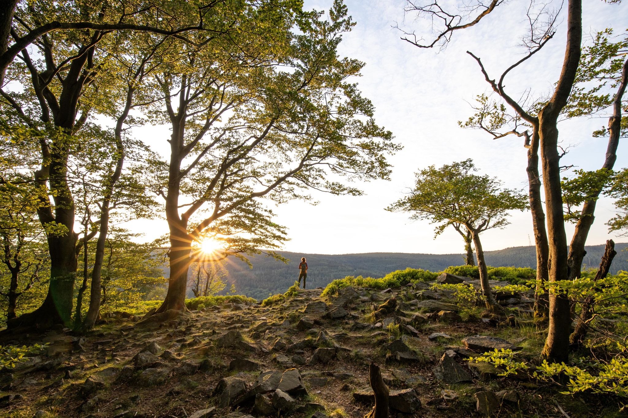
Deep valleys and airy heights – the most beautiful hikes in the Taunus in Germany

33 MTB trails through German forests
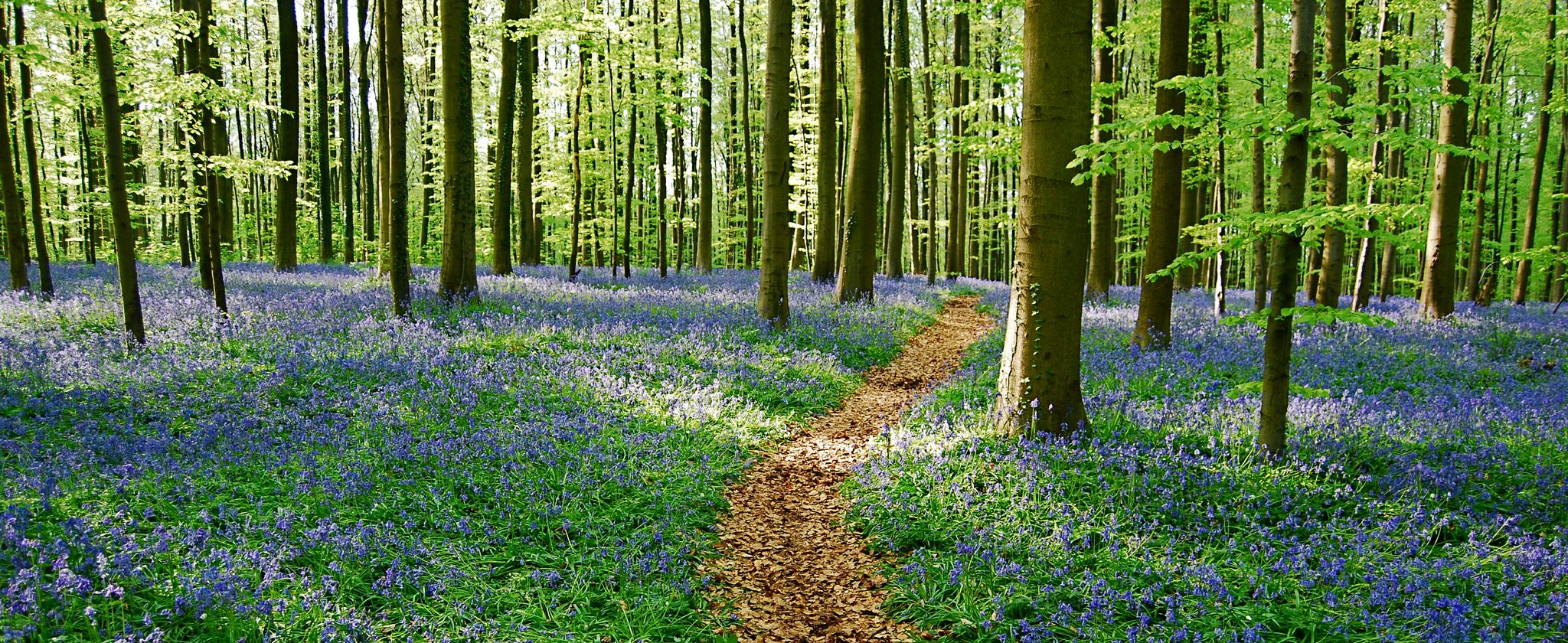
전체 가족을 위한 작은 모험
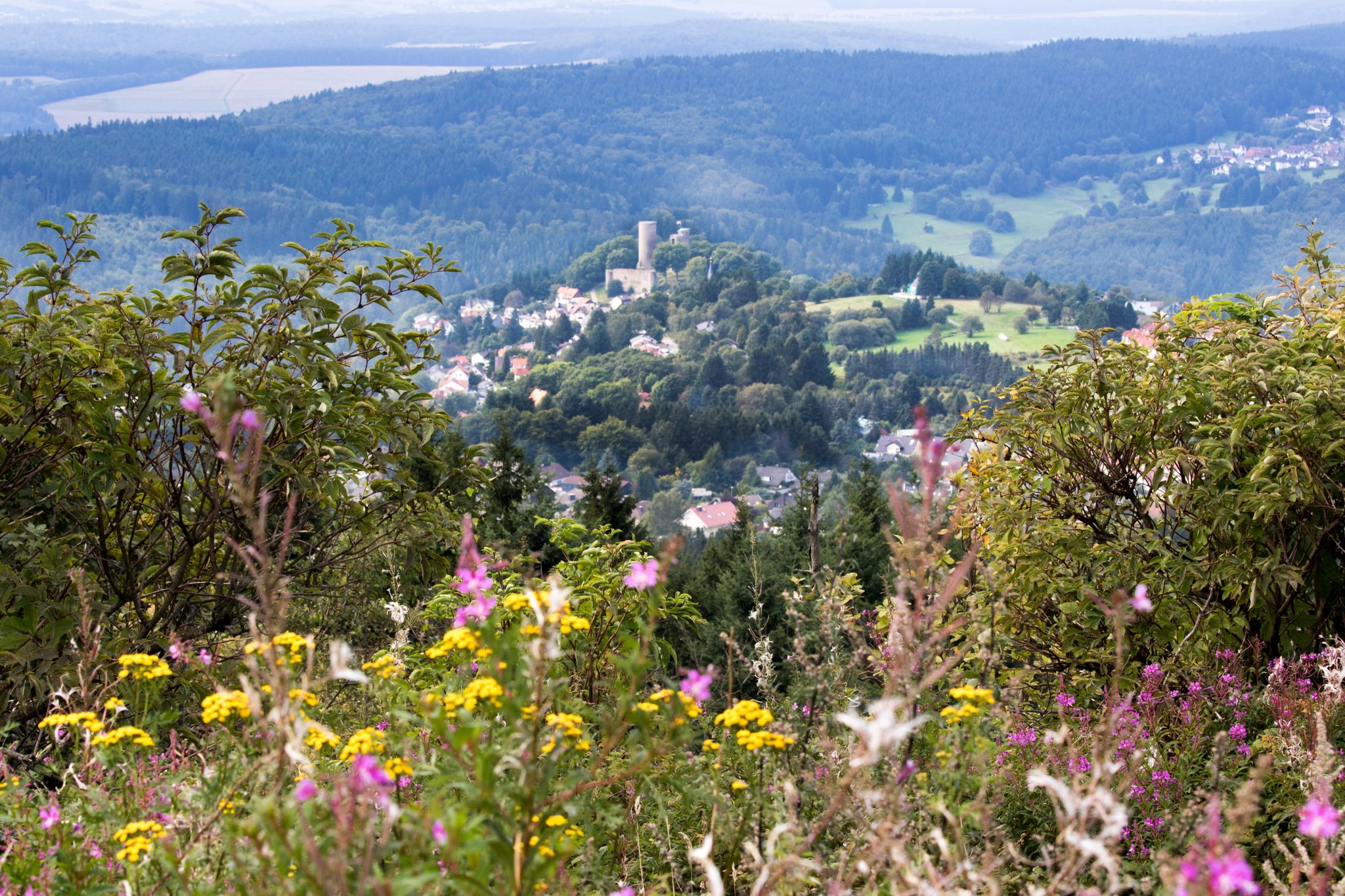
Zwischen Gipfeln und Geschichte – abwechslungsreiche Radtouren im Taunus
슈미텐 주변의 다른 모험


커뮤니티 팁


오늘은 전기 자전거, 트레킹 자전거를 타고 갔습니다. 10년 전에는 Weilburg에 살았었고, 그때 길을 훨씬 더 좋게 기억합니다. 아마도 한번 확장되었고 그 후로는 아무도 신경 쓰지 않은 것 같습니다. 트랙터 등이 다니면서 Guntersau와 Dorfweil 사이의 도로는 80%가 끔찍한 상태입니다. 더 이상 자전거 도로라고 부를 수 없고, 하이킹 코스이며, 기껏해야 산악자전거를 위한 것입니다.
2
0
The extensive deforestation has afforded a fantastic view of Reifenberg and Feldberg. It's well worth stopping here to enjoy the panorama.
2
0

The historic Roder Bridge in Neuweilnau, a district of Weilrod in the Taunus Mountains, is a picturesque destination for hikers and cyclists. The bridge spans the Weil River and connects the district to the hiking trail between Gemünden and Neuweilnau. The hiking trail, marked by a yellow bar, leads about 1 km north of Neuweilnau over the Weil River and the main road, offering magnificent views of the Weil Valley. Starting in Neuweilnau, perhaps at the miniature golf course, is particularly recommended for exploring the surrounding area. The region is rich in nature and history and invites you to long hikes and bike rides. The Roder Bridge itself is a beautiful photo opportunity and an ideal place for a short rest during your excursion. The combination of historic architecture and idyllic scenery makes the bridge a worthwhile destination in the Taunus.
1
0

The 23.37-hectare area, situated on a steep slope at an elevation of 650 to 700 m[1] above sea level, was declared a nature reserve in 1983. These are nutrient-poor meadows, historically created by grazing. The inhabitants of the extremely poor Feldberg villages cleared the few areas where agriculture was possible. Due to the altitude and slope, only grazing was possible in the Reifenberger meadows. After the Second World War, the automation of agriculture made the cultivation of these areas uneconomical. They were left to their own devices and developed a diversity of plants worthy of protection. However, they remain cultural landscapes that would disappear without human intervention. Without human intervention, the meadows would become overgrown with scrub and, over time, transform into forest. The last clearing of a 10-hectare area took place in early 2012 to combat this effect. The nature reserve is home to plants such as Turk's cap lily, common millet, and helleborine, which are specialized in poor soils, and serve as a breeding ground and refuge for birds and animals. The very rare lanceolate bellflower, found only in the Palatinate and the High Taunus, is primarily found in the Taunus in and around the Reifenberg meadows.
1
0
The Reifenberger Meadows are a nature reserve between Oberreifenberg and Niederreifenberg in the Hochtaunus district. The 23.37-hectare area, situated on a steep slope at an elevation of 650 to 700 m[1] above sea level, was declared a nature reserve in 1983. These are nutrient-poor meadows, historically created by pastoral farming. The inhabitants of the extremely poor Feldberg villages cleared the few areas where agriculture was possible. Due to the altitude and slope, only pastoral farming was possible in the Reifenberger Meadows area. After the Second World War, the automation of agriculture made farming these areas uneconomical. They were left to their own devices and developed a diversity of plants worthy of protection. However, they remain cultural landscapes that would disappear without human intervention. Without human intervention, the meadows would become overgrown with scrub and, over time, transform into forest. The last clearing of a 10-hectare section took place in early 2012 to combat this effect. The nature reserve is home to plants such as Turk's cap lily, common millet, and helleborine, which are specialized in poor soils, and serve as a breeding ground and refuge for birds and animals. The very rare lanceolate bellflower, found only in the Palatinate and the High Taunus, is primarily found in the Taunus in and around the Reifenberg meadows.
1
0


더 살펴보기
다른 지역의 최고의 자전거 경로를 살펴보세요.
