몬카요 최고의 워킹 & 하이킹 경로
4.7
(261)
2,022
등산객
42
하이킹
몬카요에서 최고의 하이킹과 워킹을 찾으시나요? 그렇다면 아름다운 보르자 자연공원 주변에 있는 경로 컬렉션을 아래에서 살펴보세요. 몬카요에 있는 하이킹 트레일 중에서 마음에 드는 곳을 선택해 언제든지 야외 활동을 하면 돼요.
마지막 업데이트: 8월 30, 2026
4.4
(25)
279
등산객
10.8km
04:51
860m
860m
보통 하이킹. 좋은 체력 필요. 대부분 갈 수 있는 길. 미끄러지지 않게 조심해야 함.
4.5
(21)
97
등산객
7.80km
02:24
230m
240m
보통 하이킹. 좋은 체력 필요. 대부분 갈 수 있는 길. 미끄러지지 않게 조심해야 함.

무료 회원 가입
5.0
(5)
20
등산객
7.05km
02:27
340m
340m
보통 하이킹. 좋은 체력 필요. 대부분 갈 수 있는 길. 미끄러지지 않게 조심해야 함.
4.7
(3)
13
등산객
15.7km
05:28
890m
890m
어려운 하이킹. 우수한 체력 필요. 실력과 관계없이 누구나 쉽게 갈 수 있는 길.
4.3
(7)
10
등산객
10.8km
03:31
490m
490m
보통 하이킹. 좋은 체력 필요. 대부분 갈 수 있는 길. 미끄러지지 않게 조심해야 함.
더 다양한 경로와 다른 탐험가들의 추천을 살펴보세요.
무료 회원 가입
이미 komoot 계정이 있나요?
투어 추천은 다른 사람들이 komoot에서 완료한 수천 개의 활동을 바탕으로 구성되어 있습니다.
오늘 무료 계정으로 시작하세요
다음 모험이 기다리고 있어요.
로그인 또는 가입하기



커뮤니티 팁

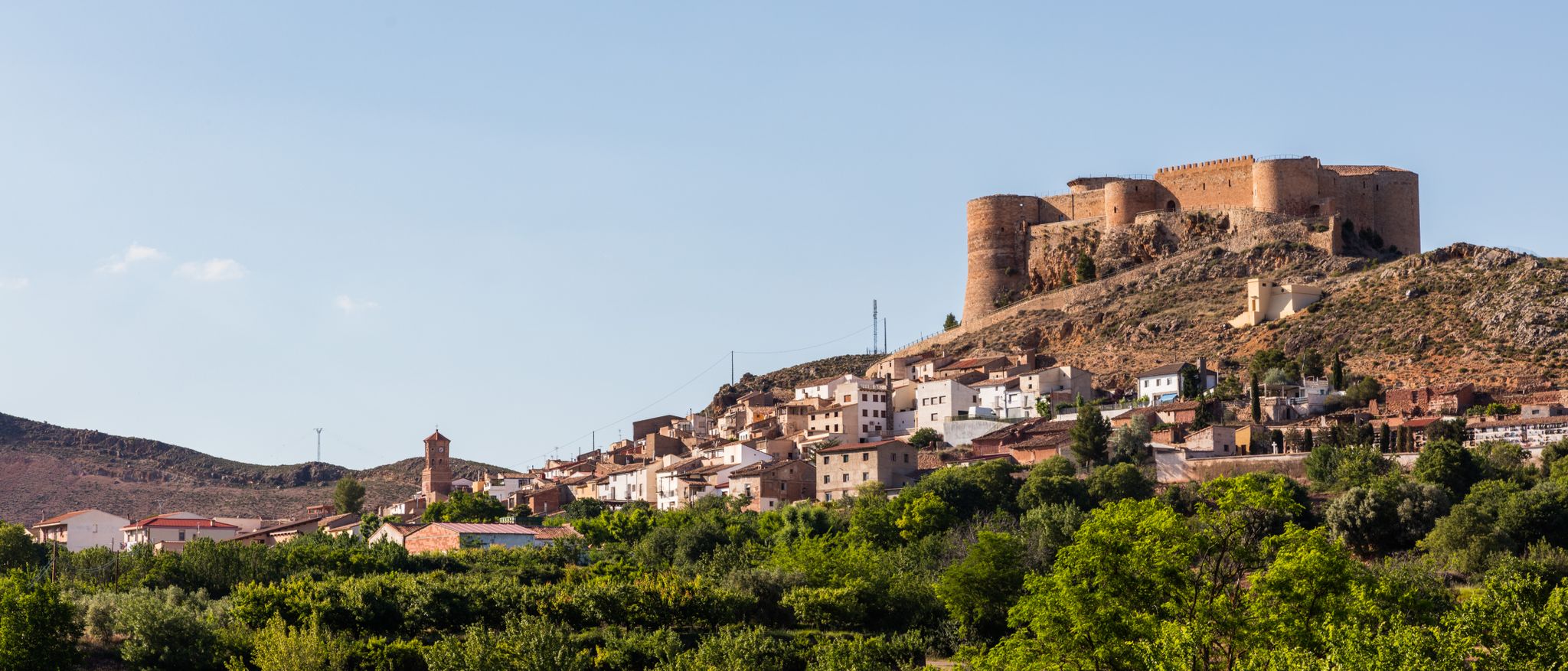
The Prado de Santa Lucía Snow Well is located near San Martín de Moncayo, in the province of Zaragoza, within the natural setting of the Moncayo Natural Park. This well is a traditional construction formerly used to store snow during the winter, which was then compacted and preserved for medical, food, or refrigeration purposes during warmer seasons. It is a semi-buried structure with stone walls and a vaulted roof, designed to retain the cold for months.
1
0
The Fountain and Hermitage of San Gaudioso are located in the Moncayo Natural Park, near Tarazona, in the Campo de Borja region, Aragon. This place is a popular point of interest for hikers and nature lovers. The hermitage is located in a stunning natural setting, surrounded by forests and mountains. The fountain, which bears the same name, is known for its fresh, crystal-clear water. It is an ideal place to rest and enjoy the tranquility of the landscape. Access to the Fountain and Hermitage of San Gaudioso can be made through several hiking routes that run through the natural park, offering spectacular views and the opportunity to observe the local flora and fauna.😊
5
0
Cabezo de la Mata is a peak located in the Sierra del Moncayo, in Aragon, Spain. With an altitude of 1,437 metres, it is one of the most accessible peaks in the area. One of the most popular routes to ascend Cabezo de la Mata begins at Fuente de los Frailes. This circular route offers spectacular views of the northeastern slope of the Sierra del Moncayo and the plain of the Ebro Valley. The route includes sections through beech and pine forests, and is suitable for all year round.
5
0
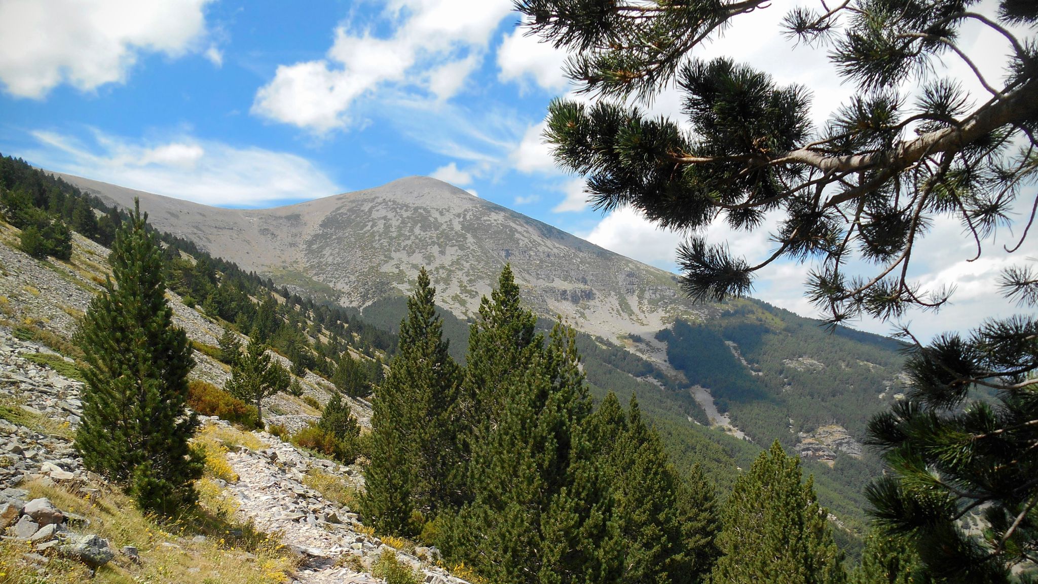
The summit of Moncayo, also known as Pico San Miguel, is the highest mountain in the Iberian system, with an altitude of 2315 metres. It is located between the provinces of Zaragoza (Aragon) and Soria (Castile and Leon) in Spain. To reach the summit, many hikers start from the Sanctuary of the Virgin of Moncayo, located at 1621 metres. From there, the route passes through the Cucharón cirque and the San Miguel basin before reaching the summit. The route offers spectacular views and is especially popular in spring and summer.
5
0

You need to be in shape, it is a climb that requires some climbing skill.
0
0

Moncayo never disappoints. From Cueva de Agreda the climb is longer and harder, but it is worth the sacrifice. The views from the summit, towards Aragon and towards Castilla, are impressive.
1
0

At the Collado de la Atalaya you have to head northeast along the slope of the mountain range following a level path marked with stone markers. The path crosses the Las Hoyas de los Portillos valley and climbs halfway through the pine forest towards the wall of the Muela del Cerro Morrón. In the pine forest you have to keep climbing towards the east and at the base of the walls connect with the path coming from the north face of the mountain. The landmarks are clear between the pine trees and the mole wall, they jump a couple of small slopes near other cavities and lead to the spectacular Cueva de los Pilares, a fantastic natural rock sanctuary with arches, vaults and giant columns. The climb to the summit of the mole leaves from the cave through the canal located to the west, it is a clear and obvious climb, it has stone markers and although it seems that there is no exit with good visibility, it is a simple section along some aerial ledges without too many complications, unless the rock is wet, it cannot even be classified as a climbing step, rather technical mountain hiking. The milestones enter the large inclined molar plain and take the direction of the summit through the center of the mountain.
0
1
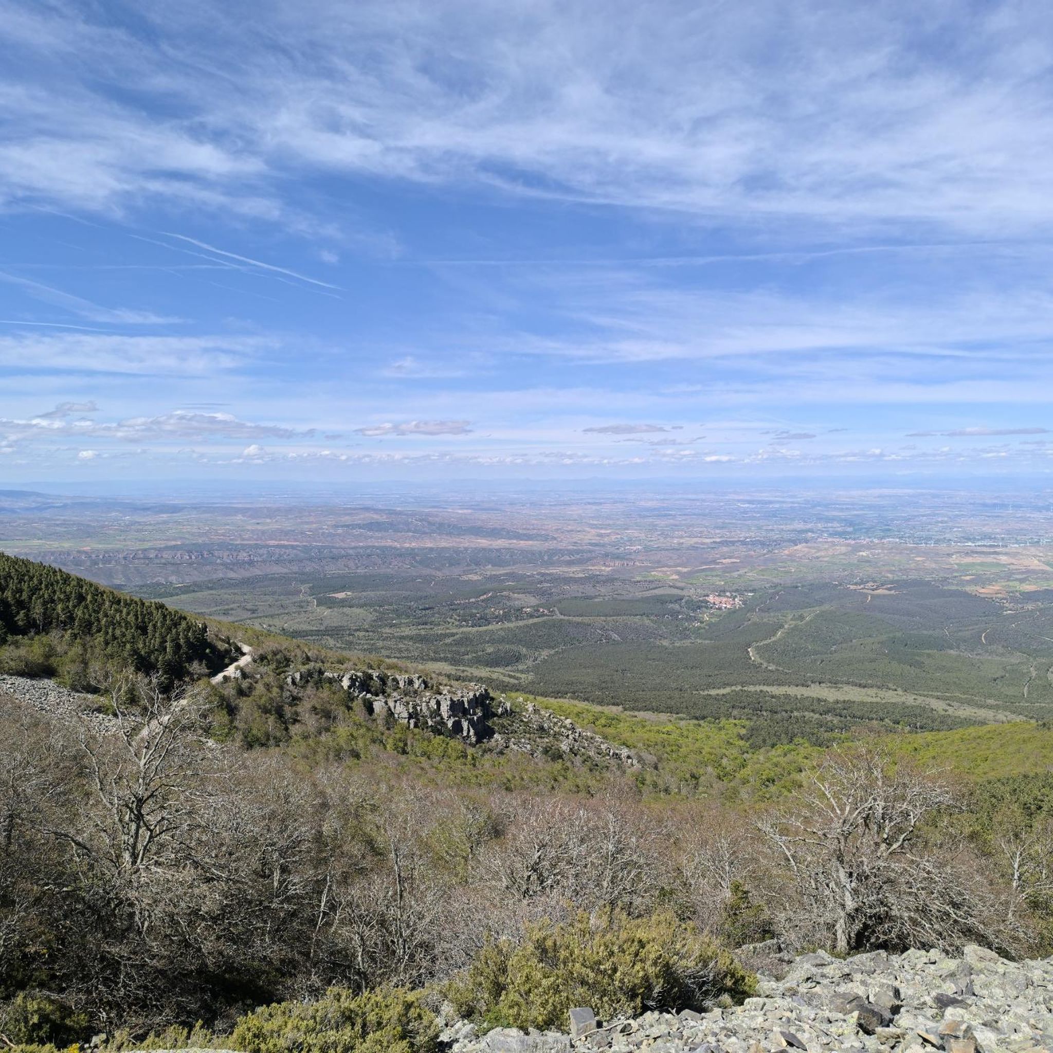
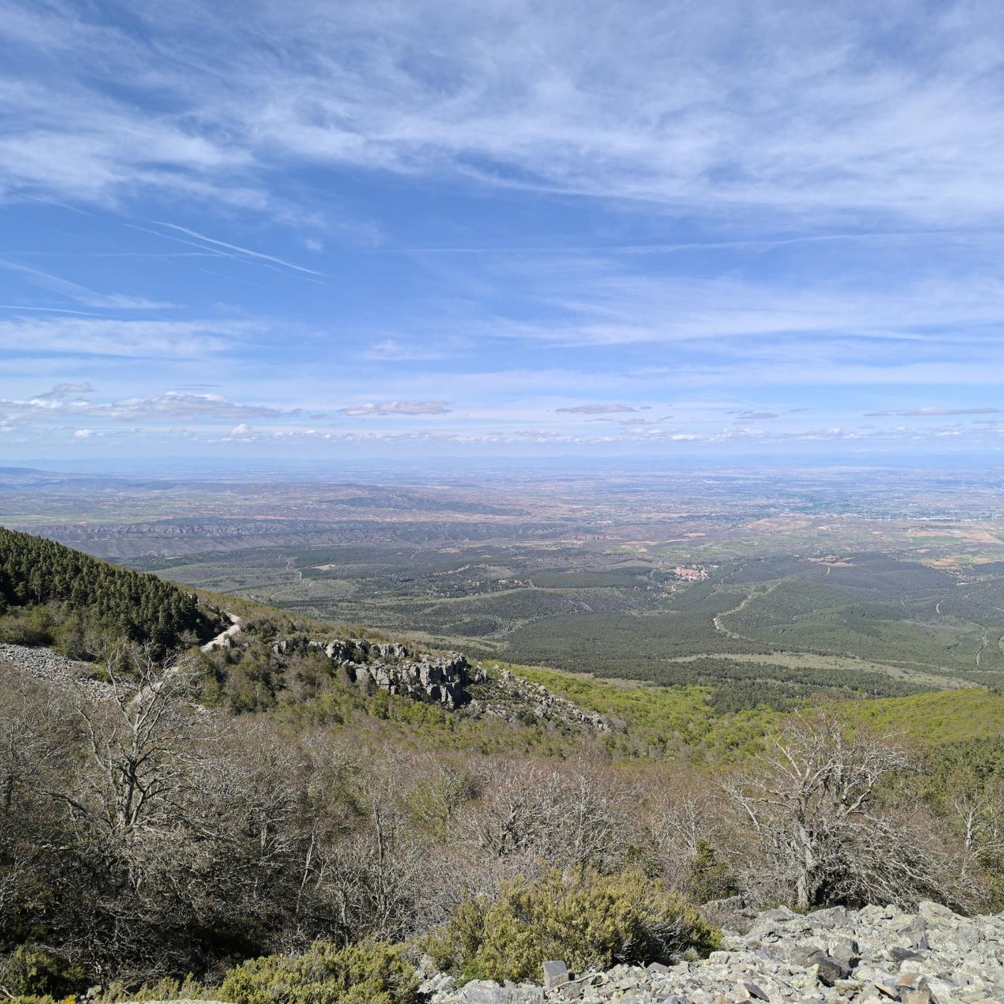
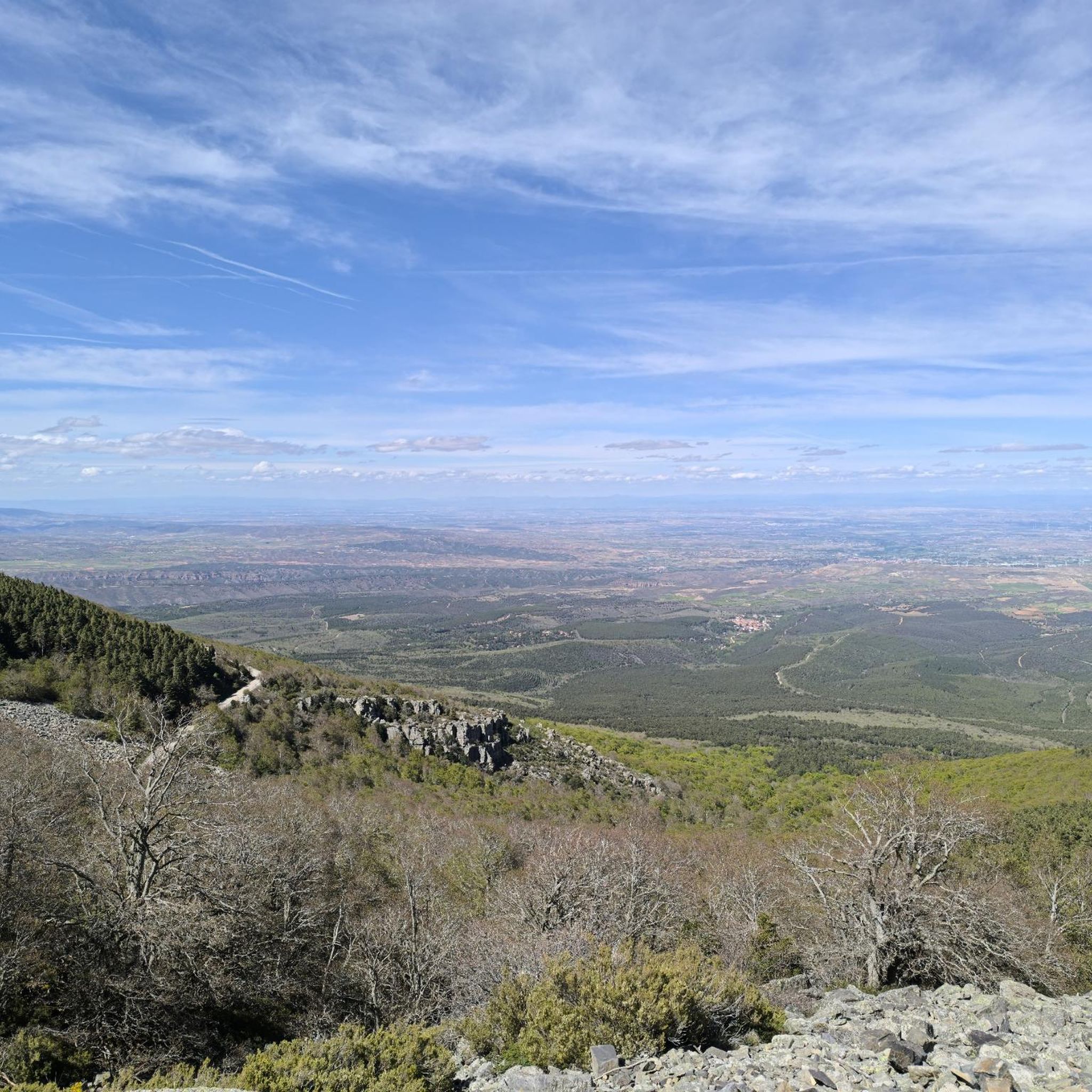
At Cerro Morrón (1,730 m) there is a trig point and good views of the Moncayo massif. The visible summit is Lobera (2,226 m) and behind it the distant San Miguel peak (2,315 m), simply showing the silhouette of the summit. And below the pedestal of the great mountain covered by endless forests of pines, oaks and beech trees. Towards the north the enormous plain of the Ebro valley and around it the rest of the reliefs of the eastern Iberian region.
0
0
몬카요에서 가장 인기 있는 명소


더 살펴보기
다른 지역의 최고의 하이킹를 살펴보세요.
