카보 데 가타 니자르 최고의 워킹 & 하이킹 경로
4.4
(3069)
13,096
등산객
289
하이킹
카보 데 가타 니자르에서 최고의 하이킹과 워킹을 찾으시나요? 그렇다면 아름다운 캄포 니자르 Y 바조 안다락스 자연공원 주변에 있는 경로 컬렉션을 아래에서 살펴보세요. 카보 데 가타 니자르에 있는 하이킹 트레일 중에서 마음에 드는 곳을 선택해 언제든지 야외 활동을 하면 돼요.
마지막 업데이트: 10월 10, 2026
4.6
(164)
595
등산객
10.5km
03:13
210m
210m
보통 하이킹. 좋은 체력 필요. 대부분 갈 수 있는 길. 미끄러지지 않게 조심해야 함.
4.6
(94)
290
등산객
9.19km
02:32
130m
130m
Hike a moderate 5.7-mile circular route from San José to Morrón de los Genoveses, exploring volcanic landscapes and Playa de los Genoveses.

4.6
(39)
181
등산객
16.6km
04:39
310m
310m
Hike the moderate 10.3-mile Senda Azul de Cabo de Gata Trail, exploring volcanic coastal landscapes and pristine coves.
4.7
(58)
165
등산객
12.8km
03:44
320m
320m
보통 하이킹. 좋은 체력 필요. 실력과 관계없이 누구나 쉽게 갈 수 있는 길.
4.5
(27)
106
등산객
8.28km
02:26
230m
230m
Hike 5.1 miles (8.3 km) from Cabo de Gata Lighthouse to Vela Blanca Lighthouse, exploring volcanic landscapes and coastal views.
더 다양한 경로와 다른 탐험가들의 추천을 살펴보세요.
이미 komoot 계정이 있나요?
투어 추천은 다른 사람들이 komoot에서 완료한 수천 개의 활동을 바탕으로 구성되어 있습니다.
오늘 무료 계정으로 시작하세요
다음 모험이 기다리고 있어요.
카보 데 가타 니자르 주변 인기 장소
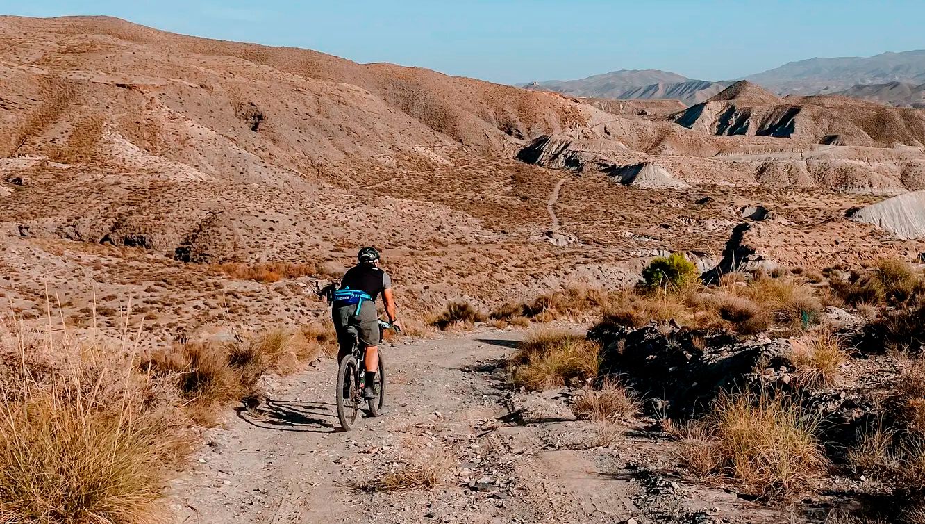
성리스타일, 대리마이 도시일, 올이스트 - TransAlmería Gravel
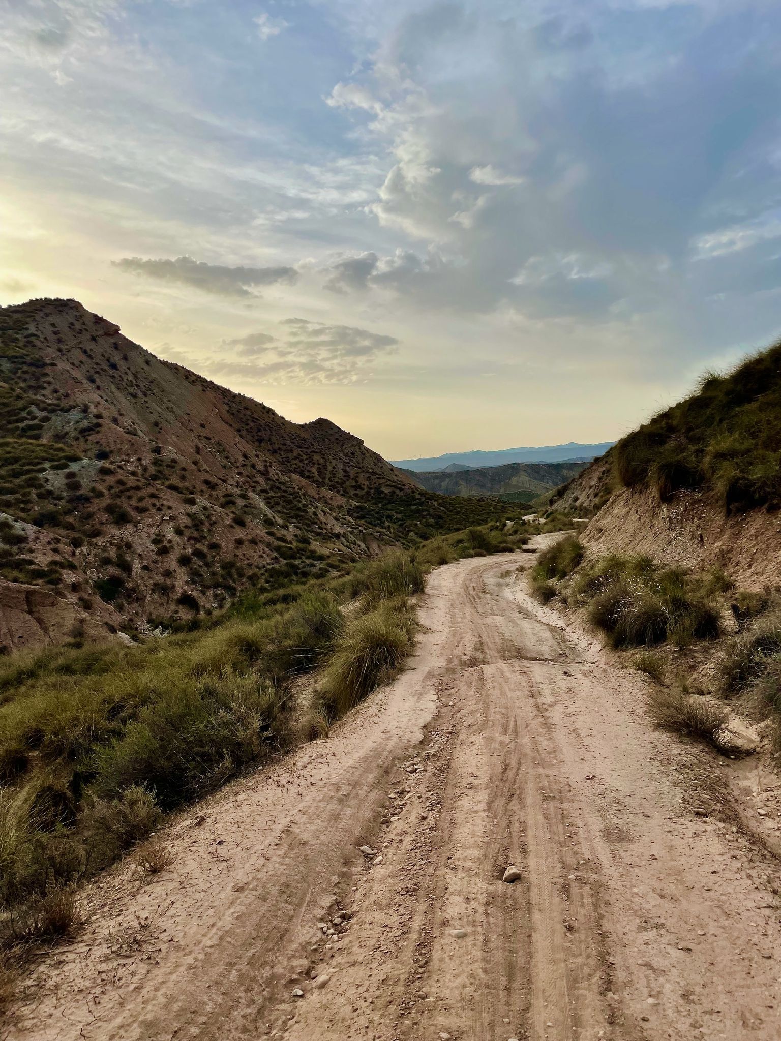
Badlands 2021 — 스페인 사막 750km의 모래

해를 향한 길 - 남동 스페인으로 바이크패킹
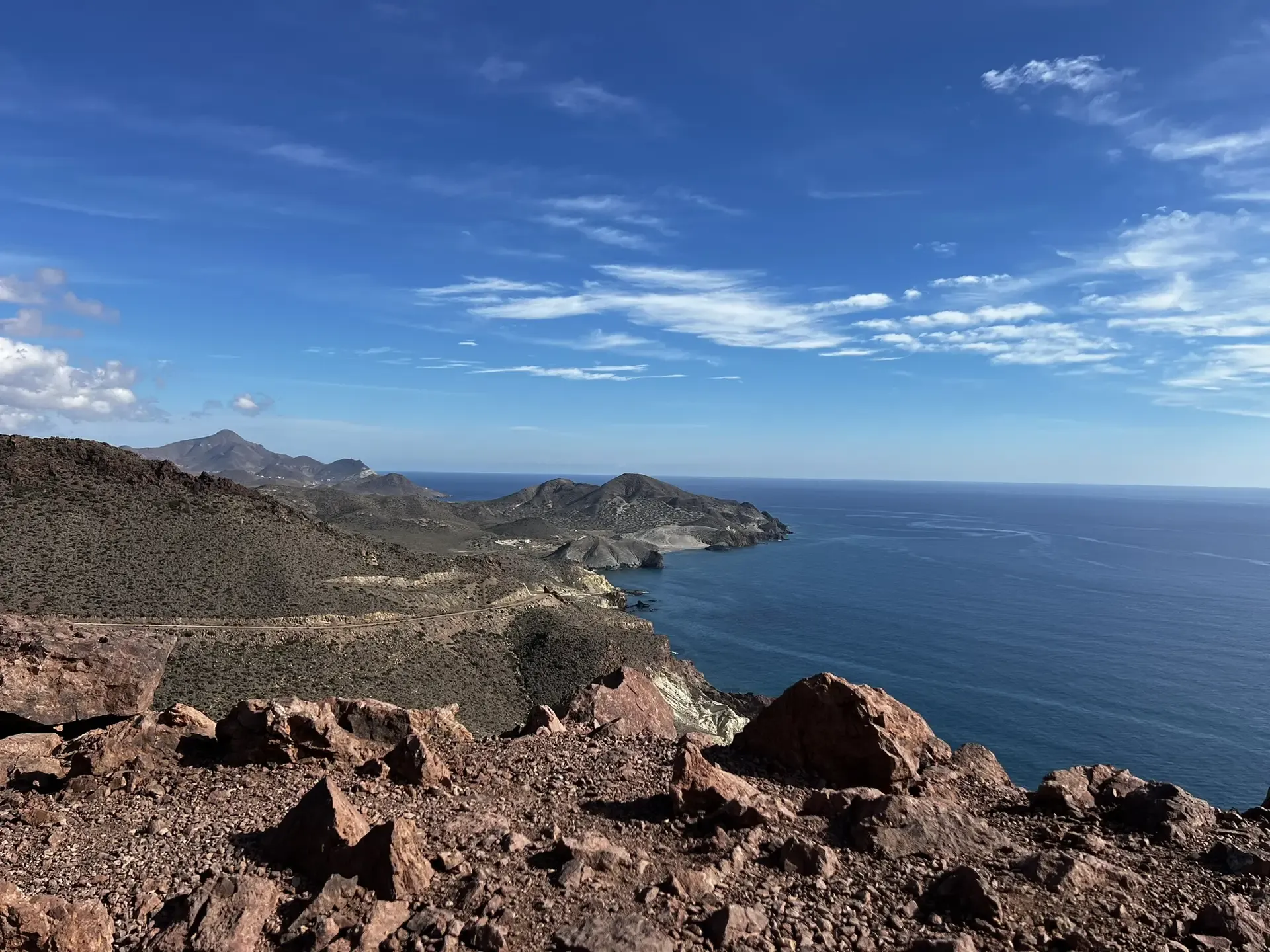
알메리아의 야생 측면 — BTT에서 Transalmería
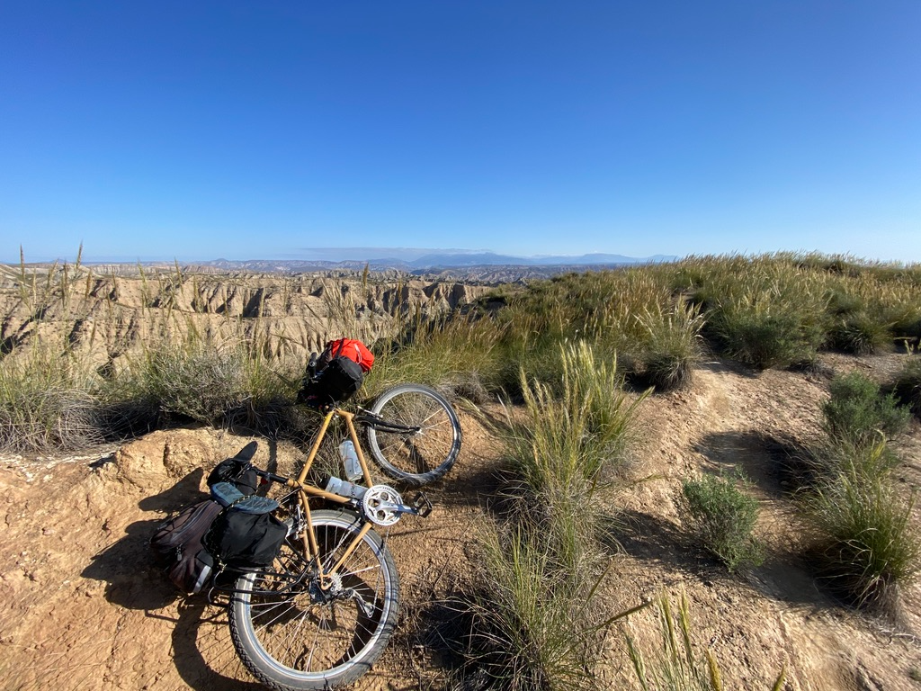
Sierra, Desierto y Mar — Trilogía andaluza
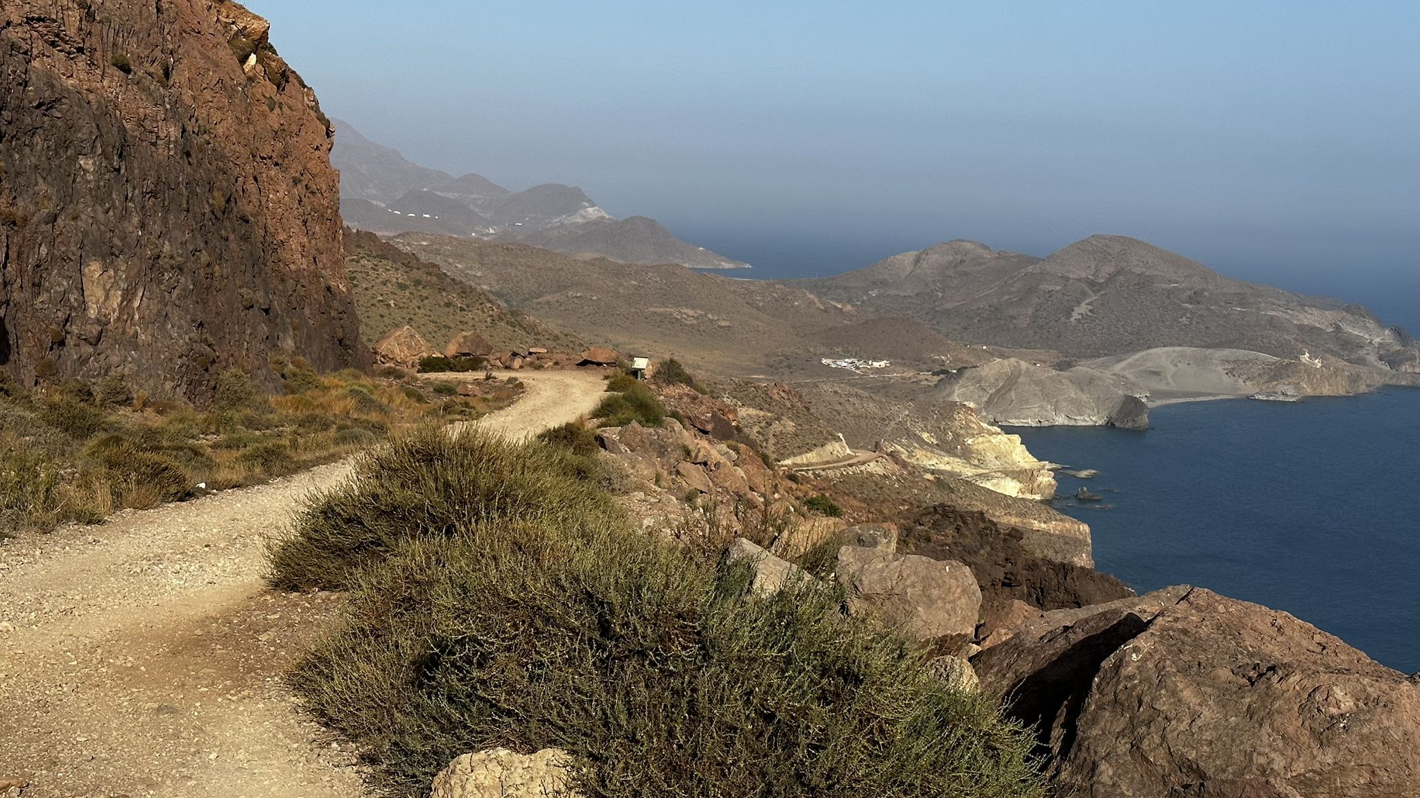
부제이 에서 - TransAlmería by MTB (El Levante)
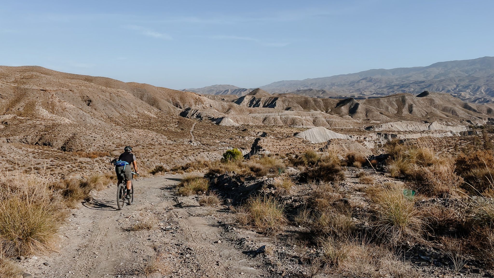
고개, 사막과 바다 - 안달루시아의 대조의 모험
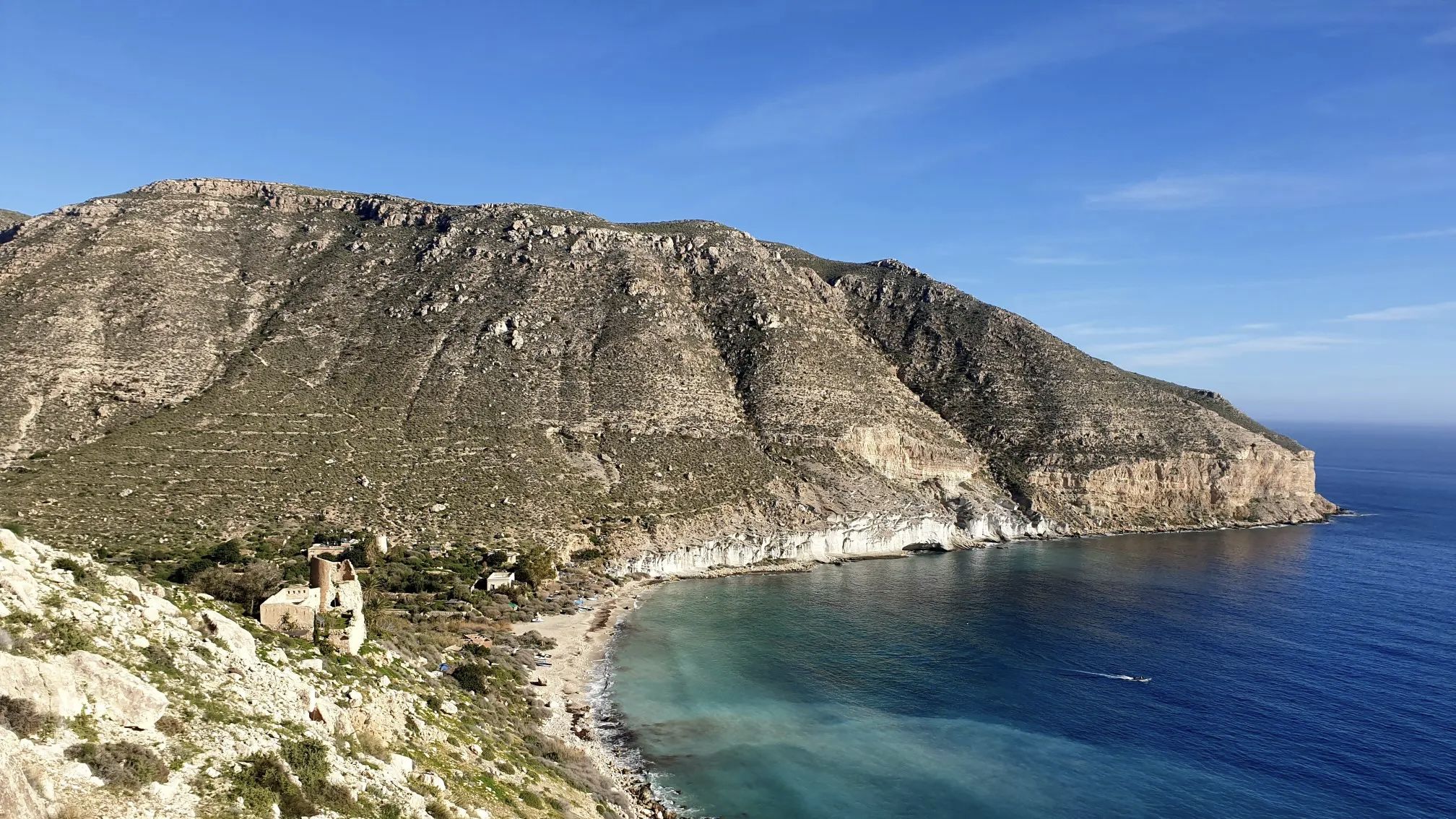
영화같은 자전거 타기 - 카보 데 가타-니하르 자연 공원

남쪽으로 가보아요 - 안달루시아에서 저와 개와 자전거를 타보세요

野생 자유로운 안달루시아 - 내륙을 통하는 트랜산달루시아
카보 데 가타 니자르의 다른 모험


커뮤니티 팁

같은 탑에 오르려면 길이 없고 지반이 불안정하기 때문에 매우 조심해야 합니다.
0
0


The reef formations that rise above the water are ancient volcanic chimneys, and their dark color comes from the material they expelled. From the lookout, you can see the area's steep cliffs, and below, the water surrounding the reef is crystal clear, allowing you to admire the mosaic of the seabed, which colors the sea with turquoise, green, and all shades of blue.
14
1
It's located right at the easternmost point of southern Spain. The place likely owes its name to the monk seals that once inhabited this reef, which ancient sailors may have mistaken for mermaids; these mammals no longer live on the coast of Cabo de Gata. (And unfortunately, I didn't see any mermaids either...)
15
0

Wear booties. Rocky trail, and bring back any trash you generate. It weighs less than when you wear it.
2
0

제노베세스 제분소는 제노베세스 언덕 제분소라고도 알려져 있으며, 유명한 제노베세스 해변 근처에 있는 카보 데 가타-니하르 자연공원에 위치한 저명한 민족지학적 요소입니다. 이 풍차는 전통적으로 밀, 보리, 옥수수와 같은 곡물을 빻는 데 사용되었으며, 이 지역의 곡물 재배 특성을 반영합니다. 이 건축물은 공원의 전형적인 유형에 맞춰져 있습니다. 석조와 석회로 만들어진 원뿔대 모양의 탑으로, 세 부분으로 나뉩니다. 2007년에 복원되었으며 오늘날에는 로스 제노베세스 트레일 내의 관심 지점입니다.
8
0
카보 데 가타 니자르에서 가장 인기 있는 경로
카보 데 가타 니자르에서 가장 인기 있는 명소


더 살펴보기
다른 지역의 최고의 하이킹를 살펴보세요.
