고스 국립공원 최고의 라이딩 경로
4.8
(375)
8,892
자전거 타는 사람
160
라이딩
고스 국립공원 최고의 로드 사이클링 경로를 찾으시나요? 그렇다면 아름다운 Limanowa 자연공원 주변의 라이딩 컬렉션을 아래에서 살펴본 후, 고스 국립공원의 여러 가지 모습을 직접 만나보세요.
마지막 업데이트: 10월 31, 2026
4.7
(102)
2,323
자전거 타는 사람
52.4km
02:24
560m
560m
보통 도로 자전거 타기. 좋은 체력 필요. 지면 대부분이 잘 포장되어 있고 라이딩하기 쉬움.
27
자전거 타는 사람
59.8km
03:12
1,130m
1,130m
어려운 도로 자전거 타기. 우수한 체력 필요. 지면 대부분이 잘 포장되어 있고 라이딩하기 쉬움.

5.0
(1)
16
자전거 타는 사람
25.3km
01:00
120m
120m
초급용 로드 라이딩. 지면 대부분이 잘 포장되어 있고 라이딩하기 쉬움.
5
자전거 타는 사람
135km
07:07
2,480m
2,480m
어려운 도로 자전거 타기. 우수한 체력 필요. 투어 중 라이딩하기 어려운 비포장 구간이 있을 수 있음.
5.0
(1)
70
자전거 타는 사람
63.2km
03:50
610m
610m
보통 도로 자전거 타기. 좋은 체력 필요. 투어 중 라이딩하기 어려운 비포장 구간이 있을 수 있음.
더 다양한 경로와 다른 탐험가들의 추천을 살펴보세요.
이미 komoot 계정이 있나요?
투어 추천은 다른 사람들이 komoot에서 완료한 수천 개의 활동을 바탕으로 구성되어 있습니다.
오늘 무료 계정으로 시작하세요
다음 모험이 기다리고 있어요.

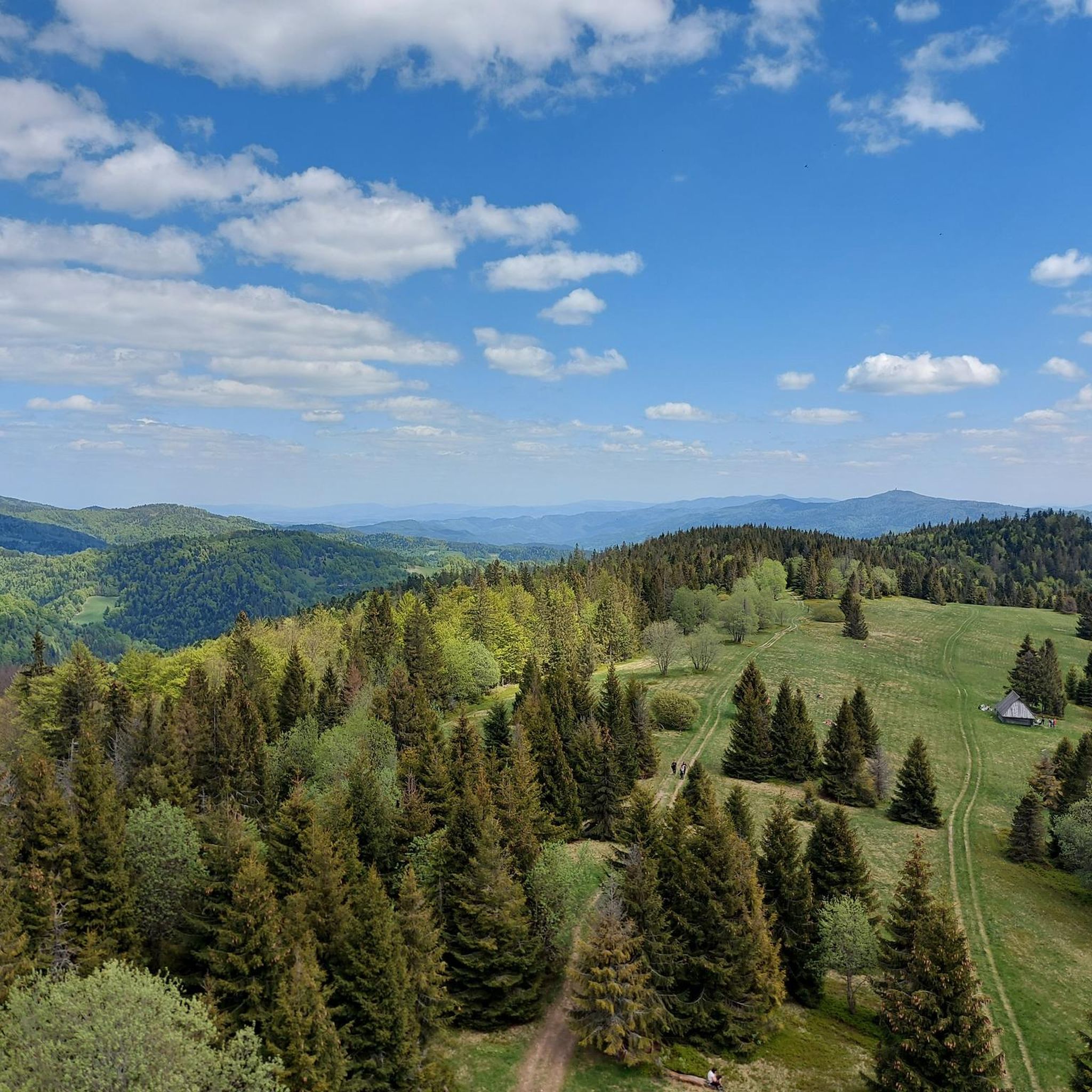


커뮤니티 팁


Beautiful red carpet and view of the lake and mountains.
1
0

the views in nice weather are heavenly, I recommend it
0
0

A wonderful gravel and asphalt bike path through the hills.
0
0

This is a "spear" ;) one of many near the lake. The entire route around the lake is worth recommending!
0
0

The climb to the Ostra Pass (812 m), starting from Gołkowice Dolne, is 19 km long and has a 500 m elevation gain. The average gradient is 2.6%. The first part is very gentle, only closer to the pass itself will we have to push harder on the pedals. The surface is good and the terrain is really charming.
1
0
An iconic road climb, almost 13 km long, with a height difference of over 800 m. At the end, a beautiful panorama of the Sądecki Beskids awaits us as a reward, as well as the opportunity to regain strength in the PTTK shelter on Przehyba. Note: the last 200 m is not asphalted, but the surface is compacted enough that we can easily ride it with a road bike.
3
0

This pass is often the starting point for trips to Mogielnica south of here. At an altitude of 694m above sea level, there is a chapel, a stone obelisk from 1938 and a cross commemorating the battles of the Polish Legions. Great views of the Gorce, Babia Góra, Ćwilin and Śnieżnica.
2
0
고스 국립공원 주변에서 가장 인기 있는 명소


더 살펴보기
다른 지역의 최고의 로드 사이클링 경로를 살펴보세요.
