20의 반저 발트가지 명소 & 주요 장소
반저 발트에는 둘러볼 만한 장소가 많답니다. 하이킹 또는 사이클링을 좋아한다면 반저 발트에 숨겨진 20
가지 보석을 만날 수 있을 거예요. 이 지역의 주요 명소를 살펴보면서 다음 모험을 계획해보세요.
마지막 업데이트: 10월 11, 2026
플로우트레일 반처 숲
하이라이트 (구간) • MTB 공원
I would rate the difficulty as S0.
번역자 Google •
팁에 의해

반츠베르크의 막시밀리안스파트 트레일
하이라이트 (구간) • 트레일
번역자 Google •
팁에 의해

이런 장소를 발견하려면 지금 가입하세요
최고의 싱글 트랙, 봉우리 및 다양한 흥미로운 야외 장소에 대한 추천을 받아보세요.
반처 베르크 링발(환형 성곽)
하이라이트 • 역사적 장소
번역자 Google •
팁에 의해

부르크슈탈 슈테글리츠 유적지
하이라이트 • 역사적 장소
Reason was the intervention of the monastery Banz, which felt …
번역자 Google •
팁에 의해
반저 베르크 순환 산책로
하이라이트 (구간) • 트레일
번역자 Google •
팁에 의해

무료로 가입하여 반저 발트 주변의 더 많은 명소를 발견하세요.
이미 komoot 계정이 있나요?
오늘 무료 계정으로 시작하세요
다음 모험이 기다리고 있어요.
커뮤니티 팁


This wonderful piece of land is home to a tree climbing paradise for every taste and ability. There is also a lot of interesting information to discover on the information boards.
0
0


Now labeled as an MTB flow trail, you're looking for more.
1
0


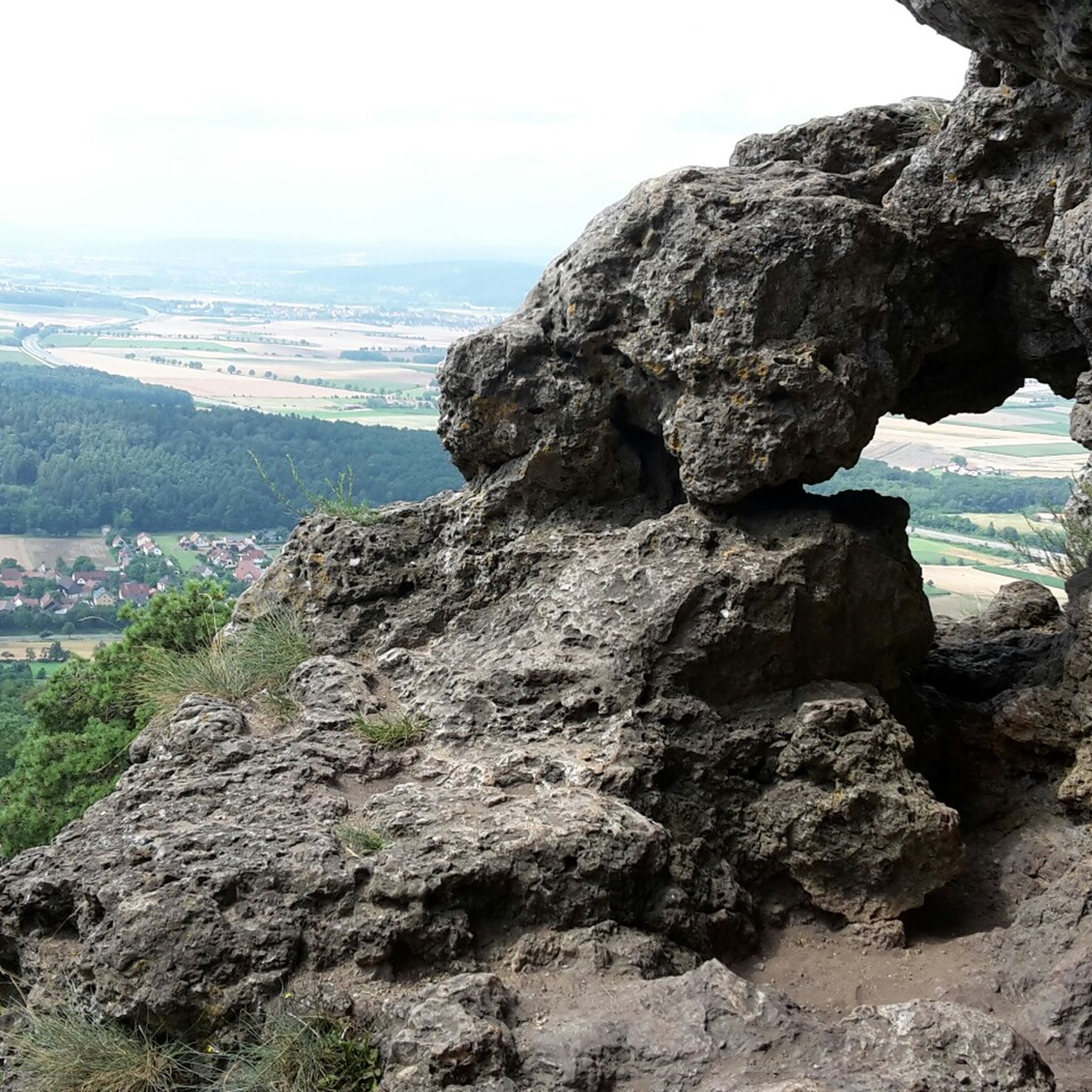
The facility with a floor area of around 500 × 500 meters is located at 447 m above sea level. NN height and therefore around 190 meters above the valley floor of the Main on the roughly triangular summit of the Banzer Berg.[4] This slopes steeply to the north, east and west to the side valleys of the Main, only at the tops of the mountain tops in the northwest and in the south are there constricted mountain saddles a few meters lower, which are followed by the other mountain peaks of this mountain range. The approximately ten hectare ring wall, whose shape resembles a bell, was completely destroyed in its western part by a quarry; in the south, at the top of the bell, it is interrupted by several recent breakthroughs, which are probably also related to the quarry work . The wall is well preserved in the northeast, east and southeast parts; it lies on the edge of the natural terrain of the hilltop. In front of it, there is a slope ditch five to seven meters deeper on the outside, in front of which there is a wall. This is still clearly visible, especially on the north side, the middle of the east side and at the northeast tip. The previous access can no longer be reliably located Source: Wikipedia
2
0
The Banzer Berg ringwall is an abandoned early medieval fortification on the summit of the eponymous Banzer Berg, immediately north of the Banz monastery on a small mountain range between the valleys of the Main and the Itz. It is located about 4000 meters north of the town of Bad Staffelstein in the Upper Franconian district of Lichtenfels in Bavaria, Germany. No historical or archaeological information is known about this ring wall complex; the Bavarian State Office for Monument Preservation describes it as an early medieval fortification and, based on its design features, was probably built and used in Carolingian times.[1] Banz Castle was located on this mountain range south of the Banzer Berg ring wall in the area of today's Banz monastery or castle; The Kulch ring wall lies about three kilometers north-northwest on the Kulch. Of the three fortifications, the one on Banzer Berg is the oldest. Steglitz Castle, located to the west on the mountain of the same name, is part of an attempt to build a castle by the Counts of Andechs-Meranien in the 13th century. Parts of the ring wall with slope ditches and outer wall have been preserved from the complex that was destroyed in the west. Source: Wikipedia
5
0

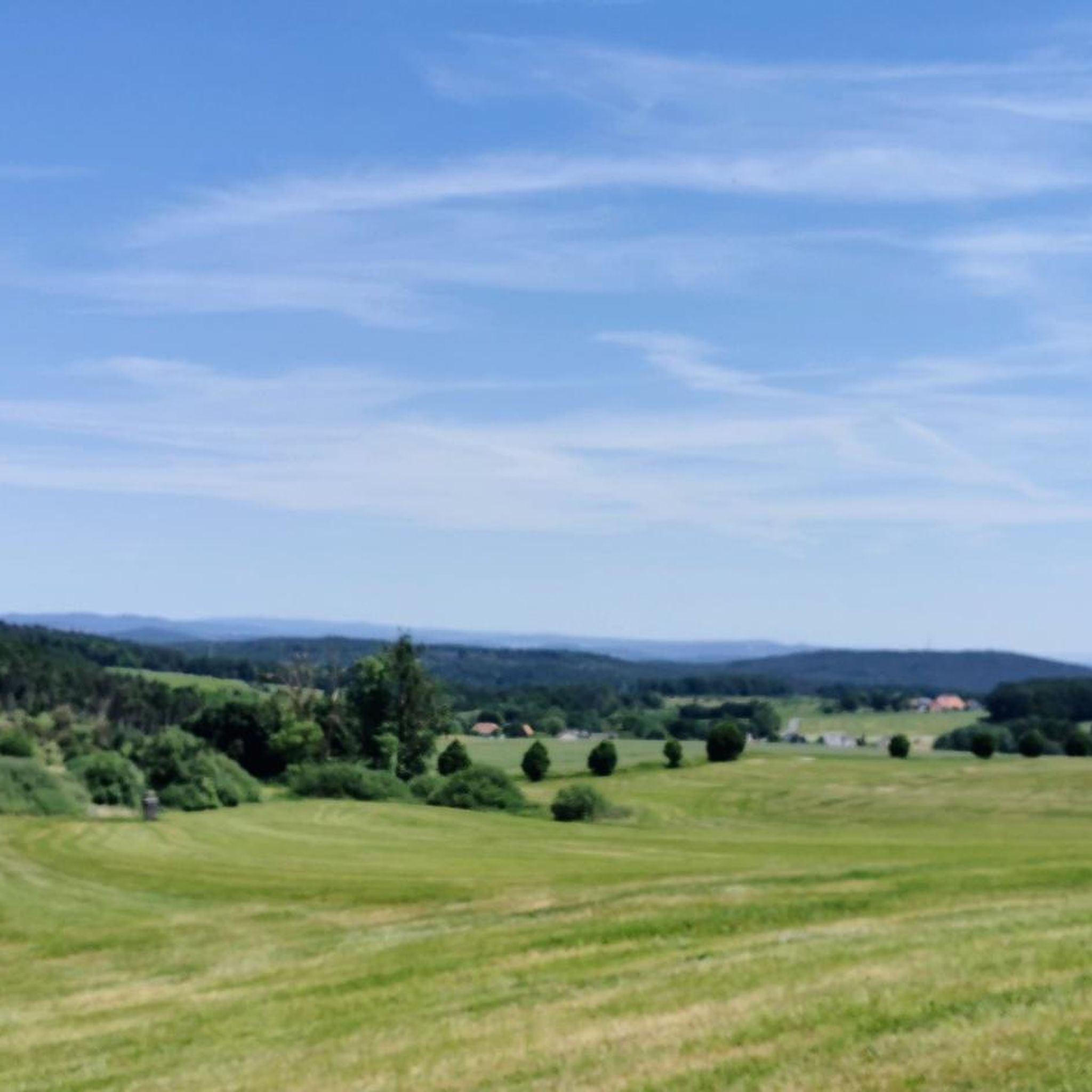
untouched nature, trails, few visitors - very idyllic
0
0


더 살펴보기
찾고 있는 하이라이트를 아직 못 찾으셨나요? 다른 지역의 주요 명소 가이드를 확인해보세요:
