경로

플래너

기능

업데이트

App

로그인 또는 가입

앱 다운로드

로그인 또는 가입

경로
Places to see
독일
노스라인-웨스트팔렌
유스키르헨

올레프탈스페레

15의 올레프탈스페레가지 명소 & 주요 장소


올레프탈스페레에는 둘러볼 만한 장소가 많답니다. 하이킹 또는 사이클링을 좋아한다면 올레프탈스페레에 숨겨진 15
가지 보석을 만날 수 있을 거예요. 이 지역의 주요 명소를 살펴보면서 다음 모험을 계획해보세요.

마지막 업데이트: 7월 20, 2026

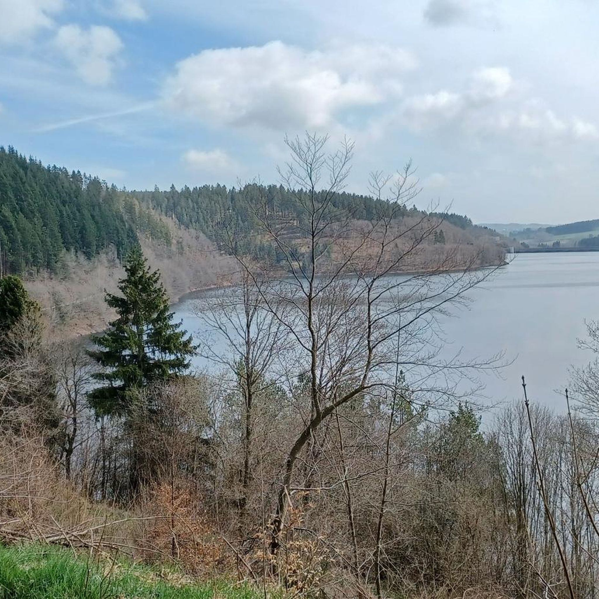
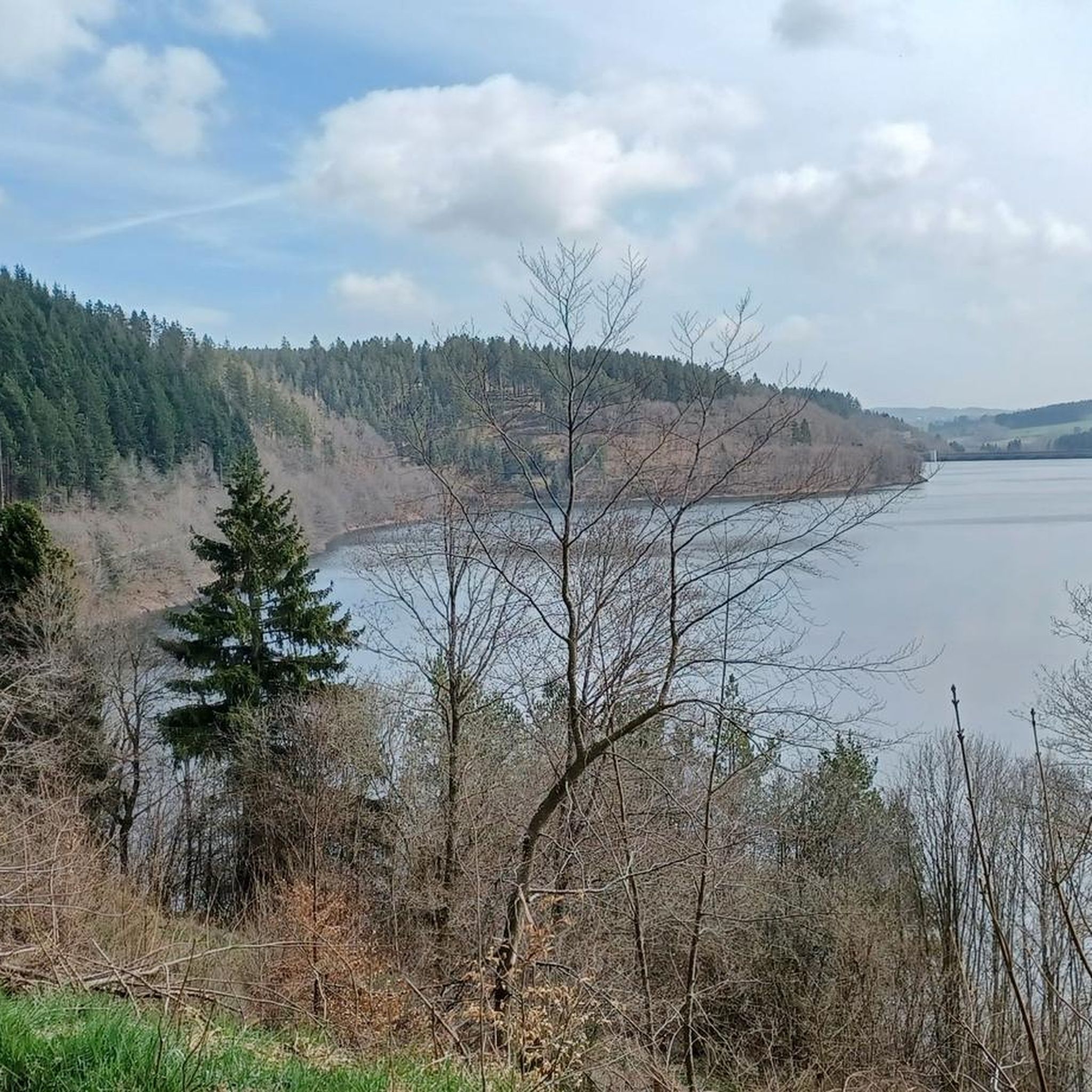
오레프 댐

하이라이트 • 호수

The Oleftalsperre was built in 1954-59. Due to cracks, the barrier had to be reinforced twice afterwards. Since 1965, the barrier has been used for drinking water, energy production and …

번역자 Google •

에 의해

라이딩 보기

휴대폰으로 전송

저장

Oleftalsperre 북쪽 호안

하이라이트 • 호수

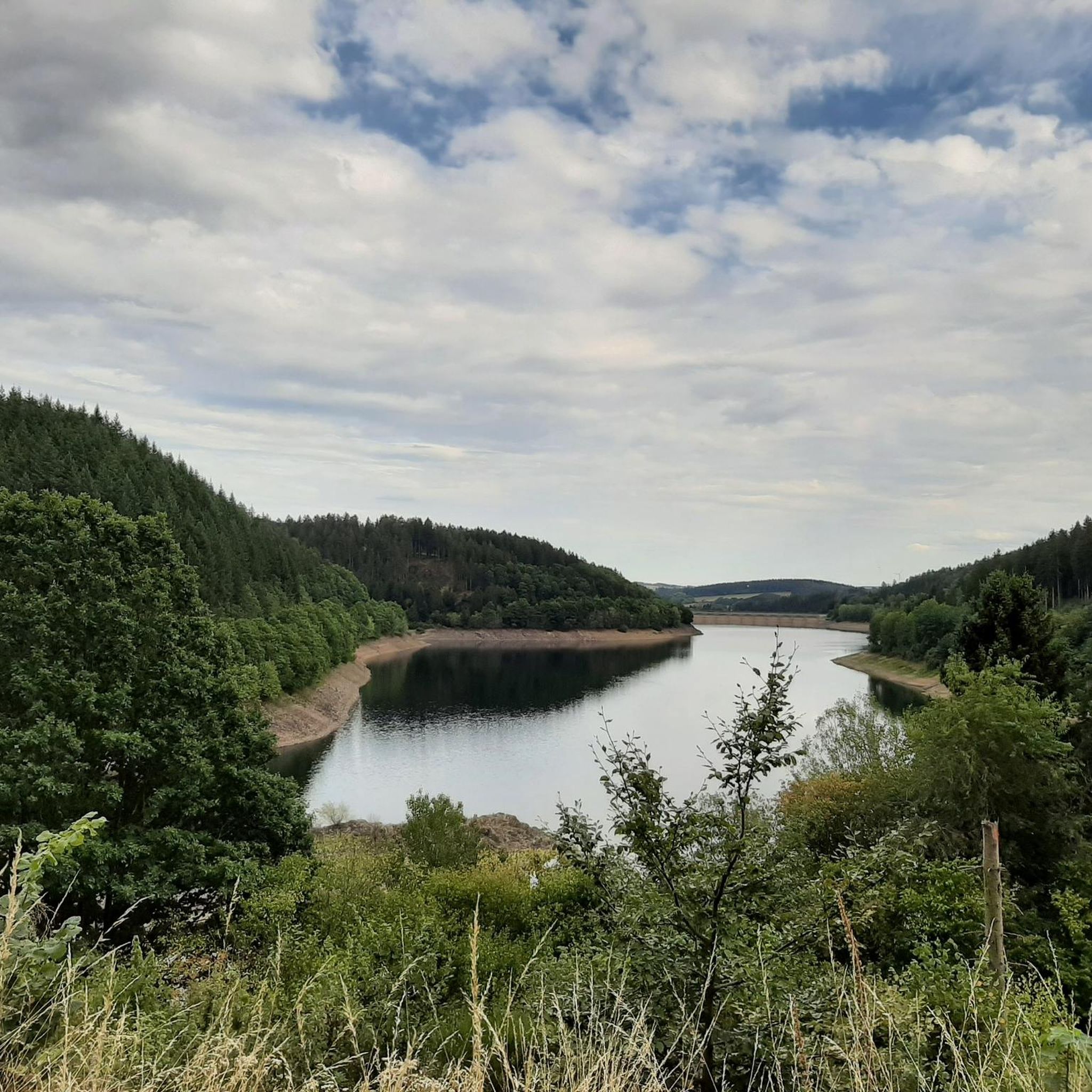
The Oleftalsperre protects the surrounding communities from flooding and is used to obtain drinking water. It is very impressive to cycle along this huge reservoir.

번역자 Google •

에 의해

저장

이런 장소를 발견하려면 지금 가입하세요

최고의 싱글 트랙, 봉우리 및 다양한 흥미로운 야외 장소에 대한 추천을 받아보세요.

무료 회원 가입

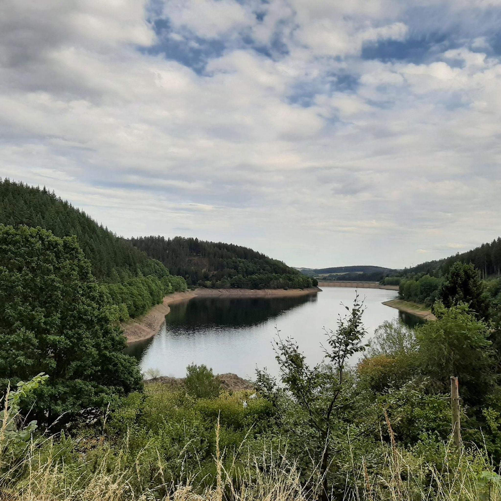
올레프댐 북쪽 호숫가 길

하이라이트 (구간) • 트레일

Inlet of the Oleftalsperre at the end of the reservoir.

번역자 Google •

에 의해

저장

올레프댐 남쪽 호숫가 트레일

하이라이트 (구간) • 트레일

This section is part of my tour "Hellenthal - Prethtal - Hollerath - Oleftal - Hellenthal," see komoot.de/tour/7741056

번역자 Google •

에 의해

저장

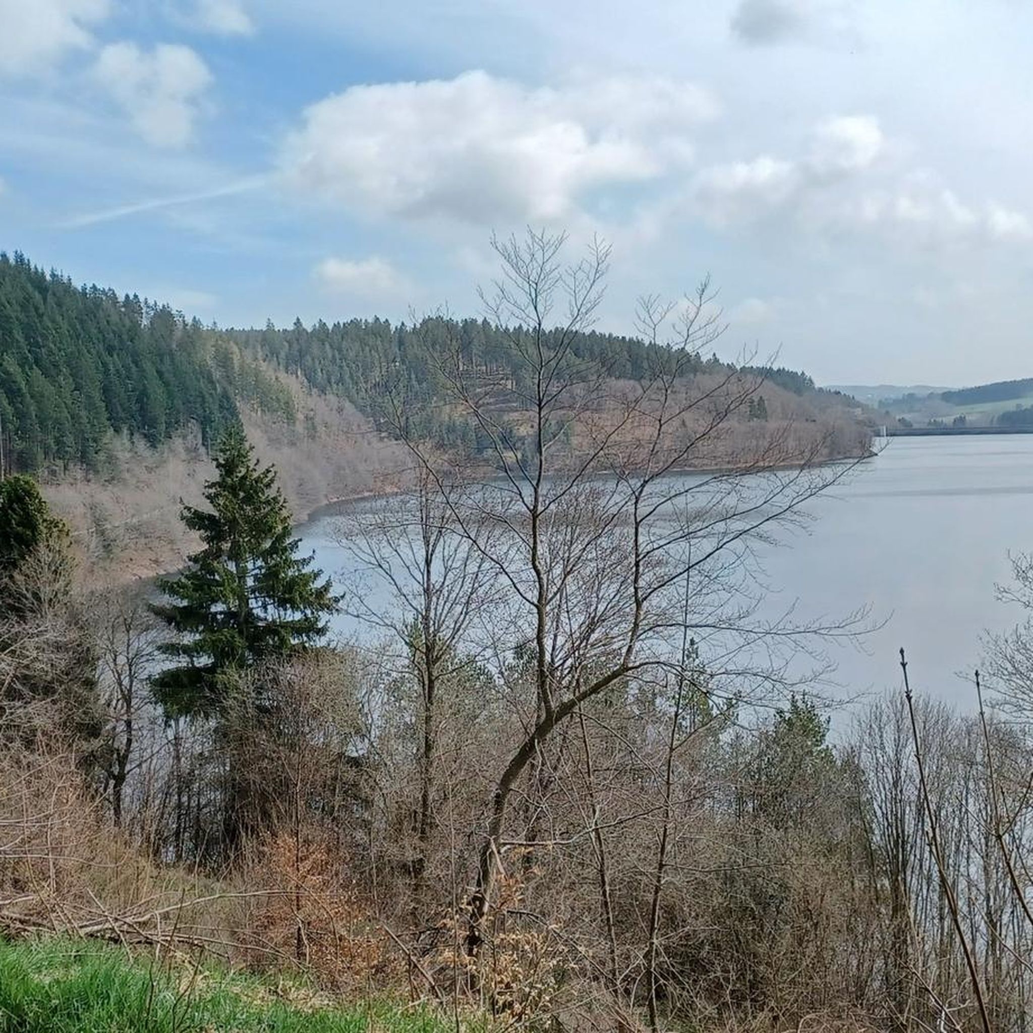
Oleftalsperre

하이라이트 • 전망대

Great view of the dam.

번역자 Google •

에 의해

저장

무료로 가입하여 올레프탈스페레 주변의 더 많은 명소를 발견하세요.

무료 회원 가입

이미 komoot 계정이 있나요?

오늘 무료 계정으로 시작하세요

다음 모험이 기다리고 있어요.
로그인 또는 가입하기

올레프탈스페레 주변 인기 장소

올레프탈스페레 하이킹

올레프탈스페레 MTB 트레일

올레프탈스페레 주변 그래블 라이딩

올레프탈스페레 러닝 트레일

올레프탈스페레 사이클링

올레프탈스페레 로드 사이클링 경로

커뮤니티 팁

Mike80
9월 2, 2024, Southern Lakeshore Trail, Oleftalsperre

Nice solid path around the Oleftalsperre.

번역: Google

0

0

Mike80
9월 1, 2024, Oleftalsperre

Beautiful view. The reservoir is easy to walk around, with a length of about 14 km. There are enough benches and 2 shelters along the way.

번역: Google

1

0

Nice path along the reservoir. You would like to jump in (but you're not allowed to). The road surface is very rough, so it's not easy to roll there.

번역: Google

0

0

a beautiful reservoir with a good bike path around the lake

번역: Google

3

0

xtophe
7월 4, 2022, Oleftalsperre

Very nice lake surrounded by nature. Swimming is prohibited there, which makes the place less touristy than the nearby Rursee. The road bordering this lake is therefore little used. It meanders along the edge of the forest following the banks of the lake.

번역: Google

3

0

The picturesque Olefsee, a drinking water dam with a capacity of 20 million cbm, lies in the midst of beautiful forests. A circular route of 13.5 km runs around the Olefsee, which offers hikers or cyclists an inexhaustible source of relaxation. The dam wall of the drinking water dam in pillar cell construction is still unique in Germany. Source: https://www.hellenthal.de/Tourism/Seeing Values/Oleftalsperre

번역: Google

26

0

Here you can cycle excellently, unfortunately little view of the water.

번역: Google

9

0

The Oleftalsperre protects the surrounding communities from flooding and is used to obtain drinking water. It is very impressive to cycle along this huge reservoir.

번역: Google

3

0

올레프탈스페레 주변에서 가장 인기 있는 경로

올레프탈스페레 가족 하이킹

올레프탈스페레 주변에서 가장 인기 있는 명소

Lakes

Store rating

komoot 모바일 앱으로 영감을 받아보세요

무료 komoot 계정로 끝없는 야외 모험을 손쉽게 찾고, 맞춤 설정하며 길안내할 수 있어요.

또는

지금 komoot에 가입하세요

Store rating

더 살펴보기

찾고 있는 하이라이트를 아직 못 찾으셨나요? 다른 지역의 주요 명소 가이드를 확인해보세요:

메체니히줄피히슐라이덴헬렌탈네테르샤임블랑켄하임바트 뮌스테라이펠Naturpark Rheinland바일러스위스트크로넨부르크Nsg Kallmuther Berg (Lp Mechernich)Flamersheimer WaldHeinzenberg크로넨부르거 호수Nsg Eschweiler Tal Und KalkkuppenBilliger WaldNsg Urfttal Mit Seitentälern Nördlich Und Westlich Von NettersheimNonnenbachtal Und Seitentäler Mit Froschberg Und GillenbergNsg Weyrer Wald Und HahnenbergSchavener Heide슈타인바흐탈스페레Nsg Schaafbachtal Mit Seitentaelern Und StrombergOlefer KirchenwaldNsg Westliches AhrgebietWestliches Ahrgebiet줄피허 호수

근처 어드벤처 가이드

헬렌탈 즐길거리

background

새로운 정복을 위한 준비를 하세요

무료로 가입하기

탐험하기
경로경로 플래너기능하이킹MTB 트레일로드 사이클링 경로바이크패킹사이트맵
앱 다운로드
소셜 미디어에서 팔로우하기

© komoot GmbH

개인 정보 보호 정책