경로

플래너

기능

업데이트

App

로그인 또는 가입

앱 다운로드

로그인 또는 가입

경로
Places to see
독일
작센-안할트
살레크라이스

가이젤탈제

20의 가이젤탈제가지 명소 & 주요 장소


가이젤탈제에는 둘러볼 만한 장소가 많답니다. 하이킹 또는 사이클링을 좋아한다면 가이젤탈제에 숨겨진 20
가지 보석을 만날 수 있을 거예요. 이 지역의 주요 명소를 살펴보면서 다음 모험을 계획해보세요.

마지막 업데이트: 7월 20, 2026

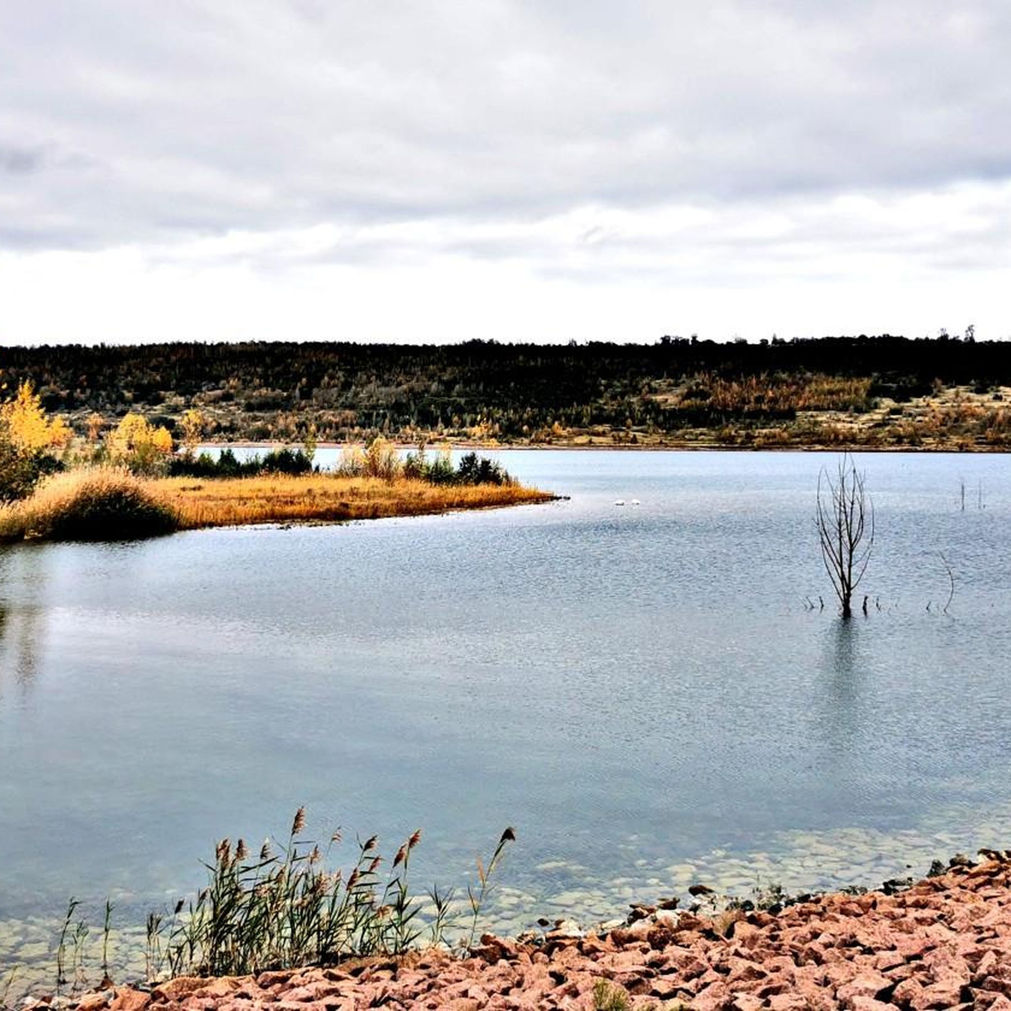
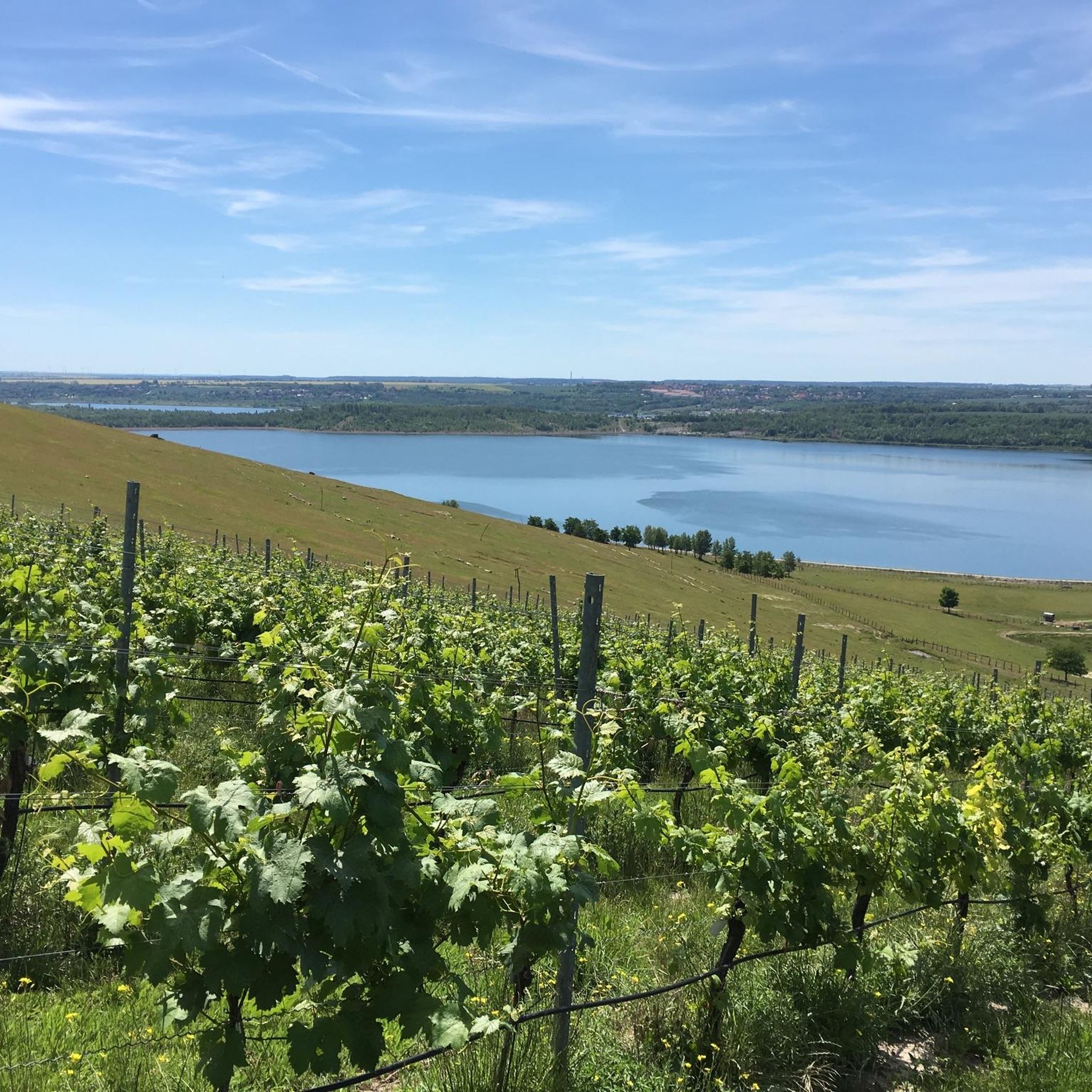
게이젤탈제(Geiseltalsee)의 브라운스베드라 마리나 전경

하이라이트 (구간) • 전망대

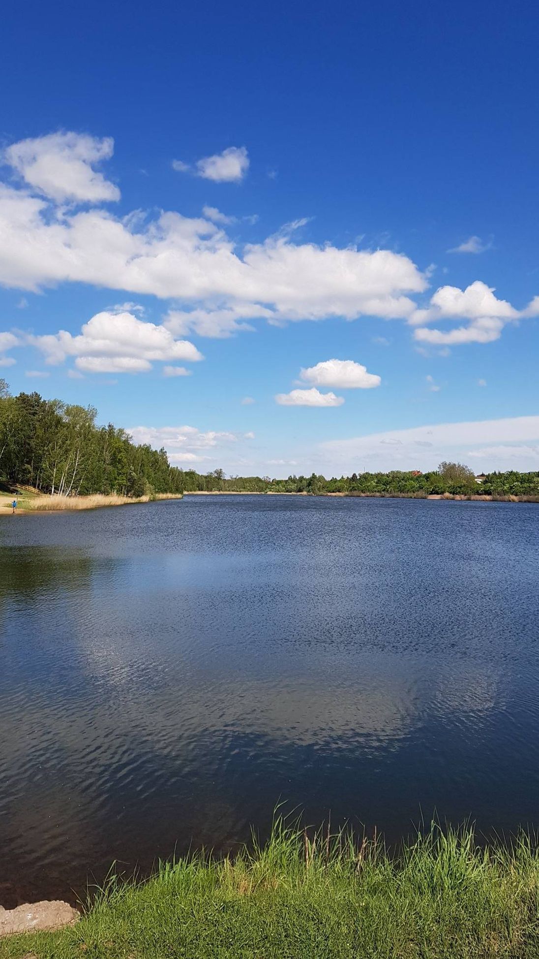
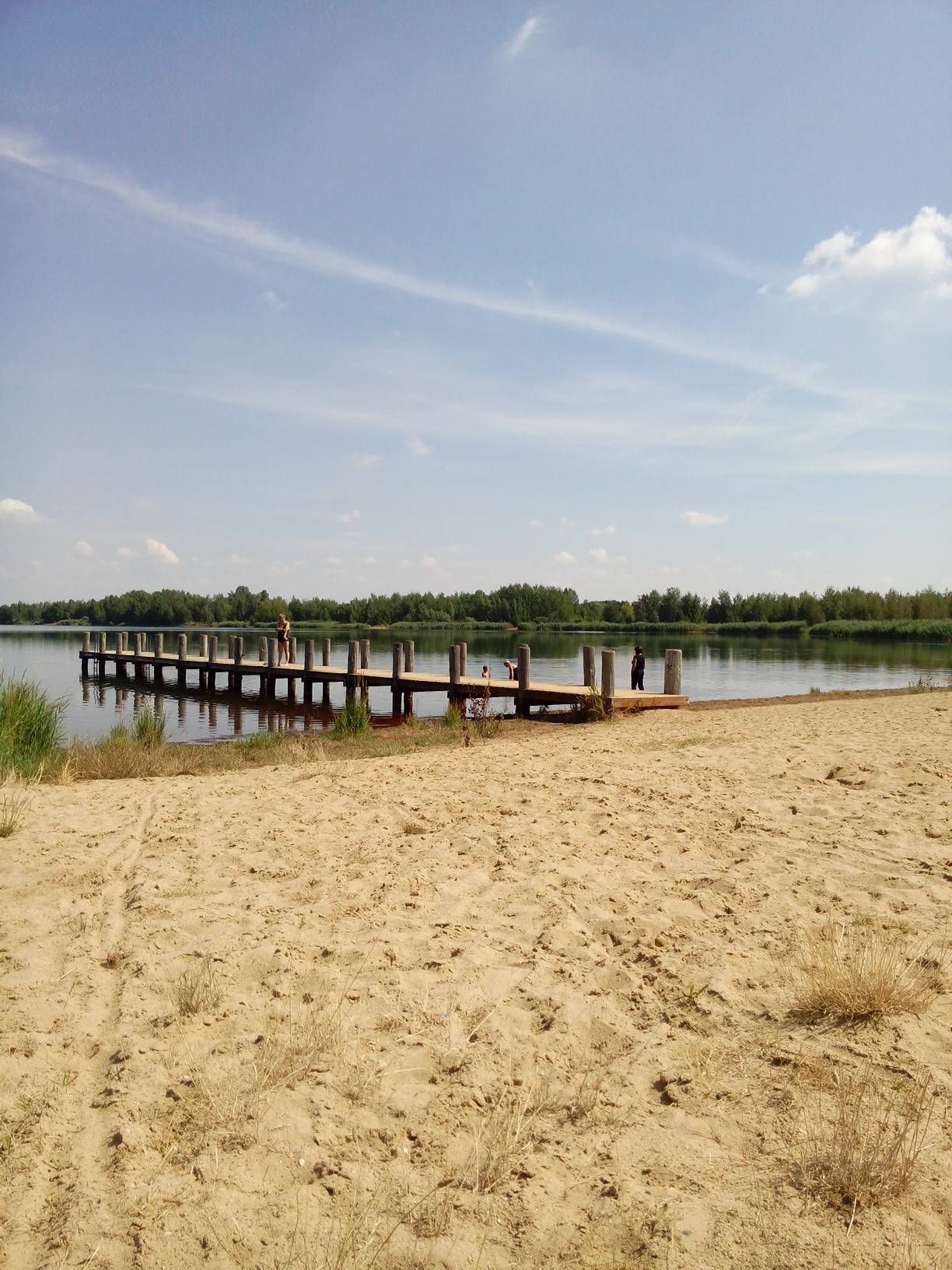
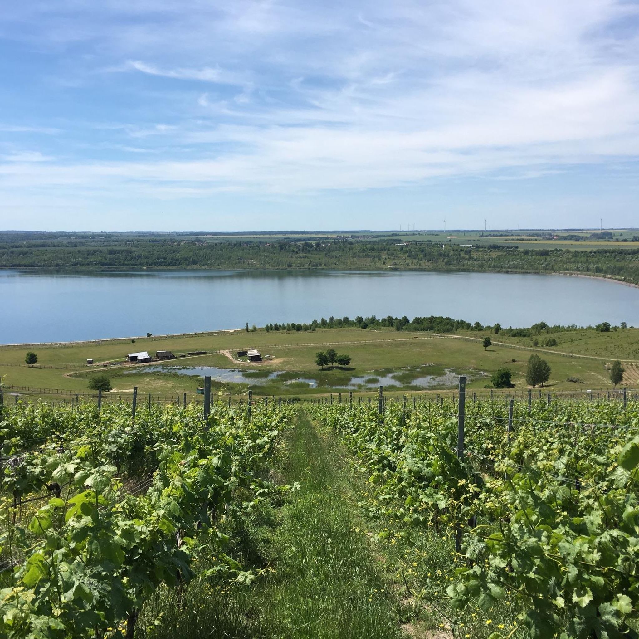
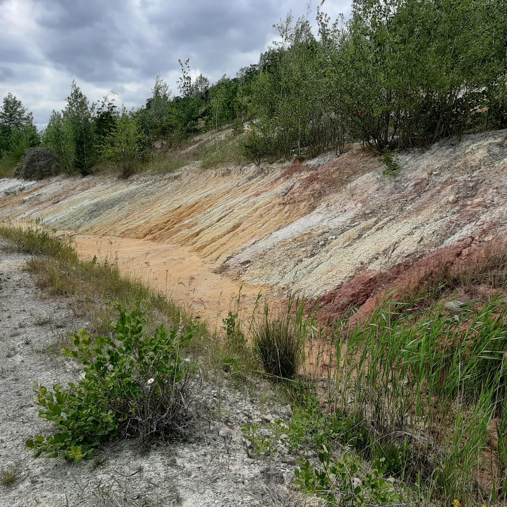
The Geiseltalsee was created by flooding the open-cast mine in early 2000. Where brown coal was still being mined until the 1990s, you can now cycle leisurely through the renaturalized landscape.

번역자 Google •

에 의해

라이딩 보기

휴대폰으로 전송

저장

가이젤탈제 자전거길 남동쪽 구간

하이라이트 (구간) • 자전거 도로

The circumnavigation of the largest artificial lake in Germany is not a problem for racing cyclists, regardless of whether the lake is circumnavigated clockwise or the other way around. There …

번역자 Google •

에 의해

저장

이런 장소를 발견하려면 지금 가입하세요

최고의 싱글 트랙, 봉우리 및 다양한 흥미로운 야외 장소에 대한 추천을 받아보세요.

무료 회원 가입

안내판: 가이젤탈에 잠긴 마을들

하이라이트 • 기념물

"the dredged villages in the Geiseltal"

번역자 Google •

에 의해

저장

가이젤탈제 순환 코스

하이라이트 • 자전거 도로

A wonderful, family-friendly circular route with lots of nice opportunities to rest and relax.

번역자 Google •

에 의해

저장

가이젤 강 하상

하이라이트 • 강

The Geisel is a tributary of the Saale in Saxony-Anhalt and gives its name to the Geiseltal and the Geiseltalsee.

번역자 Google •

에 의해

저장

무료로 가입하여 가이젤탈제 주변의 더 많은 명소를 발견하세요.

무료 회원 가입

이미 komoot 계정이 있나요?

오늘 무료 계정으로 시작하세요

다음 모험이 기다리고 있어요.

로그인 또는 가입하기

가이젤탈제 주변 인기 장소

The 11 most beautiful cycle Tours in Germany’s Saale-Unstrut region

The most beautiful swimming lakes in Saxony-Anhalt

라이프치크 주변의 가장 아름다운 수영 장소

가이젤탈제 하이킹

가이젤탈제 사이클링

가이젤탈제 러닝 트레일

가이젤탈제 로드 사이클링 경로

가이젤탈제 MTB 트레일

가이젤탈제 주변 그래블 라이딩

가이젤탈제 주변의 다른 모험

The 11 most beautiful cycle Tours in Germany’s Saale-Unstrut region

사이클링 컬렉션 에 의해

Saale-Unstrut

커뮤니티 팁

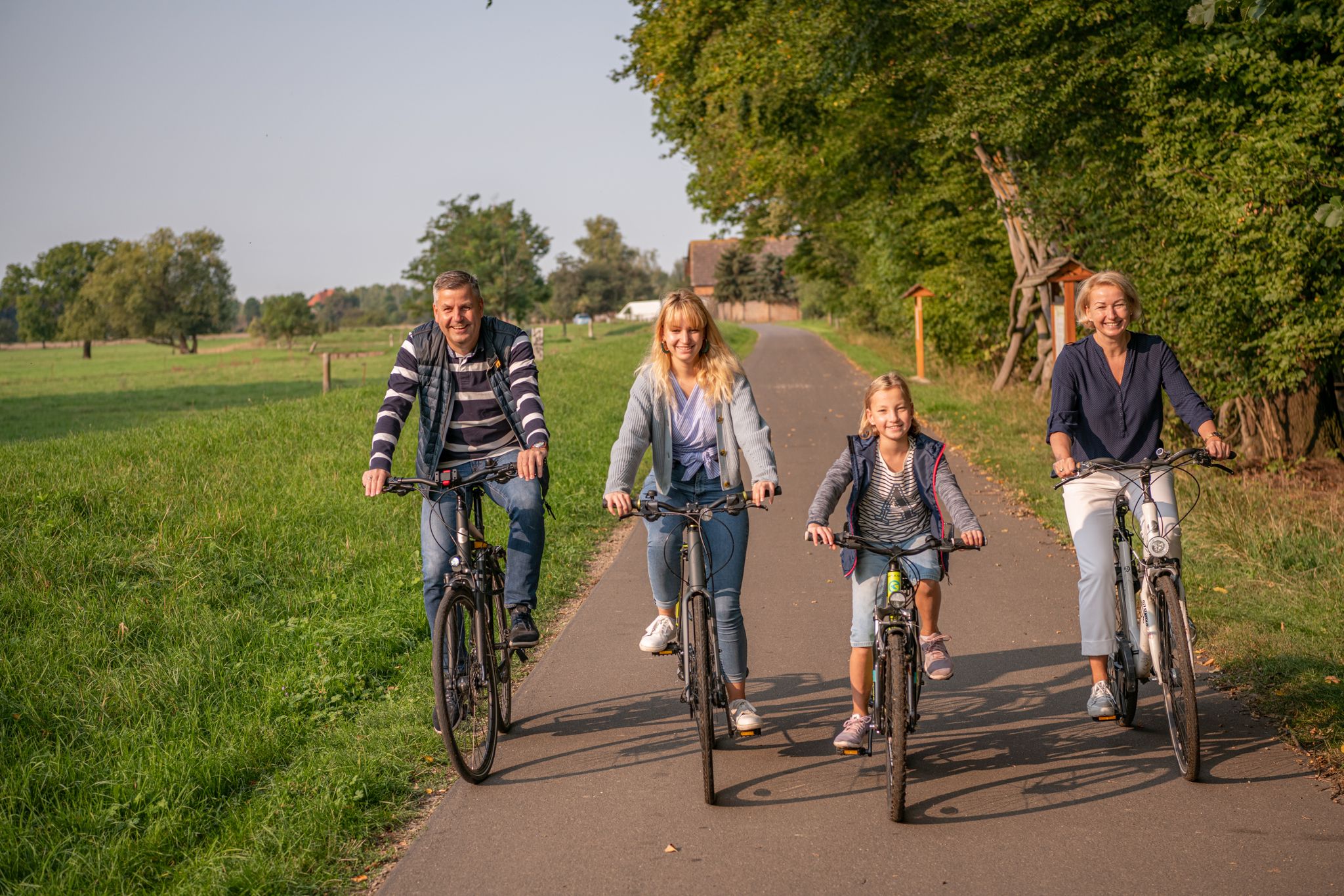
Vater-Tochter-Sohn Gespann :-)
8월 23, 2025, Geiseltalsee Circular Route

It's always fun to walk around the lake. It's perfect when the weather is good 👍😎

번역: Google

0

0

Very nice corner for cycling or walking

번역: Google

0

0

This is a sad history for the disappeared villages.

번역: Google

0

0

A very good idea! . Unfortunately, many signs have now been sprayed and smeared pointlessly🤷‍♀️, almost unreadable. Destroyed villages - destroyed signs. What a pity!

번역: Google

0

0

What a great destination. At the Geiseltalsee you can bike, run, skate, paddle, sail, dive, swim, bathe, sunbathe, camp, go boating, drink wine, celebrate, relax and and and ... I hope I haven't forgotten anything, because here you can really so much to do ... really recommendable!

번역: Google

11

1

"the dredged villages in the Geiseltal"

번역: Google

9

0

The Geisel is a tributary of the Saale in Saxony-Anhalt and gives its name to the Geiseltal and the Geiseltalsee. The hostage rises in Sankt Micheln, a district of the city of Müchel. The Geiselquelle is referred to as the raid spring and was once one of the largest springs in Central Germany. It arises from the overflow water of an underground groundwater basin, which lies under the shell limestone heights of St. Micheln. The source is at a geographical altitude of 145 m above sea level. NN. The course of the river is almost 24 km long and flows into the Gotthardteich in Merseburg, whose outlet, the Klia, flows into the Saale north of the cathedral provost. The geographic altitude here is 86 m above sea level. NN. The original Geiselmündung in the Saale was south of today's Neumarktbrücke, approximately in the Oelgrube ('Aalgrube') area. With the settlement of the valley between Domberg and Sixti Hügel, the Geisel, which ran through swampy terrain, was canalized and piped in the 19th century. This old drain can still be seen on the south-east corner of the Gotthard pond. Numerous water mills were operated along the Geisel, which was rich in fish. Its course was laid for the first time in 1540 in order to ensure smooth operation of the mills through the gradation. Because of the progressing lignite mining in opencast mines, which led to the formation of the Geiseltalsee, the Geisellauf was rerouted four more times from 1938 to 1965 at the exit from the city of Müchel. There are no more mills today; the hostage carried little water in 2011. Fish live below the spring only as far as St. Ulrich in the water. Source: Wikipedia

번역: Google

15

0

You can find the information boards all around the lake. Many had to evacuate their villages at that time. Today there is and is developing a local recreation area.

번역: Google

1

0

가이젤탈제 주변에서 가장 인기 있는 경로

가이젤탈제 가족 하이킹

가이젤탈제 주변에서 가장 인기 있는 명소

Lakes

Store rating

komoot 모바일 앱으로 영감을 받아보세요

무료 komoot 계정로 끝없는 야외 모험을 손쉽게 찾고, 맞춤 설정하며 길안내할 수 있어요.

또는

지금 komoot에 가입하세요

Store rating

더 살펴보기

찾고 있는 하이라이트를 아직 못 찾으셨나요? 다른 지역의 주요 명소 가이드를 확인해보세요:

스테이그라브라운스베드라뮐른(가이젤탈)슈코파우퀘르푸르트바트 라우흐슈타트루나메르제부르크토이첸탈카벨스케탈란츠베르그바트 뒤렌베르크웨틴-뢰베윤살자탈판슈타트오브하우젠넴스도르프-괴렌도르프슈라플라우반슈타트Bergbaufolgelandschaft Geiseltal지겔로다에르 숲발렌도르퍼 호수Saale-Elster-Aue Bei HalleLuppeaue Bei Horburg Und ZweimenPorphyrlandschaft Bei GimritzSaaledurchbruch Bei Rothenburg라스니처 호수룬슈테터 호수Schmoner Busch, Spielberger Höhe Und Elsloch베르골츠

근처 어드벤처 가이드

Bergbaufolgelandschaft Geiseltal 즐길거리

background

새로운 정복을 위한 준비를 하세요

무료로 가입하기

탐험하기
경로경로 플래너기능하이킹MTB 트레일로드 사이클링 경로바이크패킹사이트맵
앱 다운로드
소셜 미디어에서 팔로우하기

© komoot GmbH

개인 정보 보호 정책