5의 쇠니처 호수가지 명소 & 주요 장소
쇠니처 호수에는 둘러볼 만한 장소가 많답니다. 하이킹 또는 사이클링을 좋아한다면 쇠니처 호수에 숨겨진 5
가지 보석을 만날 수 있을 거예요. 이 지역의 주요 명소를 살펴보면서 다음 모험을 계획해보세요.
마지막 업데이트: 10월 9, 2026
Elberadweg: Kienberge와 Wörlitz 사이의 경치 좋은 구간
하이라이트 (구간) • 자전거 도로
Sometimes on the dike, sometimes behind the dike, worth seeing wall guard houses.
번역자 Google •
팁에 의해

Limesturm와 참나무
하이라이트 • 역사적 장소
번역문 보기
팁에 의해

이런 장소를 발견하려면 지금 가입하세요
최고의 싱글 트랙, 봉우리 및 다양한 흥미로운 야외 장소에 대한 추천을 받아보세요.
리메스 타워 히멜스투름
하이라이트 • 기념물
Attention, the oak procession spinner has built a nest on the oak at Pentecost 2018.
번역자 Google •
팁에 의해


Elberadweg에 있는 Wallwachturm
하이라이트 • 기념물
번역자 Google •
팁에 의해
오늘 무료 계정으로 시작하세요
다음 모험이 기다리고 있어요.
커뮤니티 팁

„유용한 것과 아름다운 것을 결합한다“는 엘베강과 물데강의 홍수 방지 대책을 포함한 안할트-데사우의 프란츠 공작의 좌우명이었다. 그리하여 1770년부터 1800년까지 정원 왕국의 제방을 따라 수많은 감시초소가 건설되었다. 이 실제 목적 건물들은 매우 다른 외부 형태를 통해 경관 미화에 통합되었다. 로마식 감시탑 스타일의 소위 „림슈투름“도 그중 하나이다. 1817년과 1818년의 안할트-데사우 공작령 사무소 지도에는 이것이 호에(스) 바흐하우스로 표시되어 있다.
1
0


Around the corner to the right is a coffee and ice cream parlor
0
0

Simply a nice section to drive
0
0

It's just very idyllic here in this area and it's nice to be.
0
0
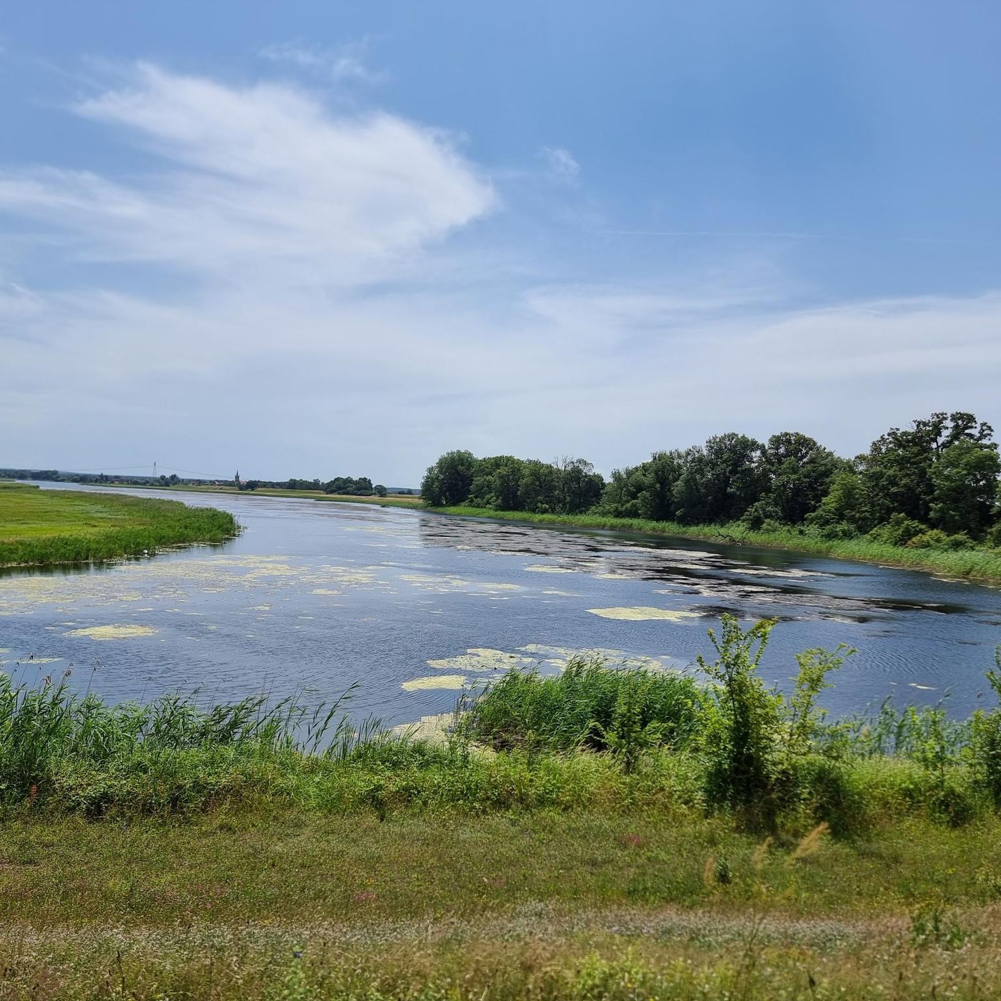
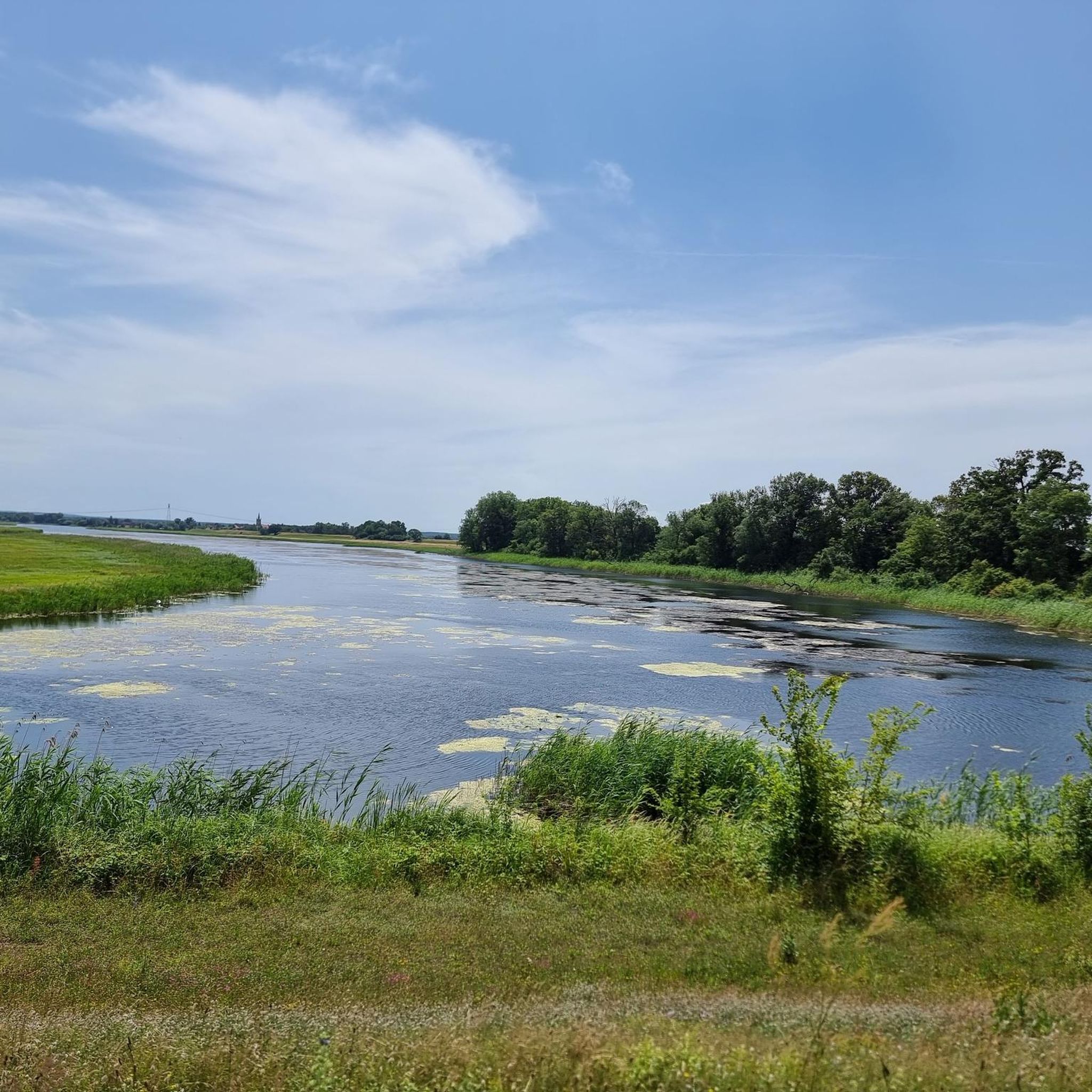
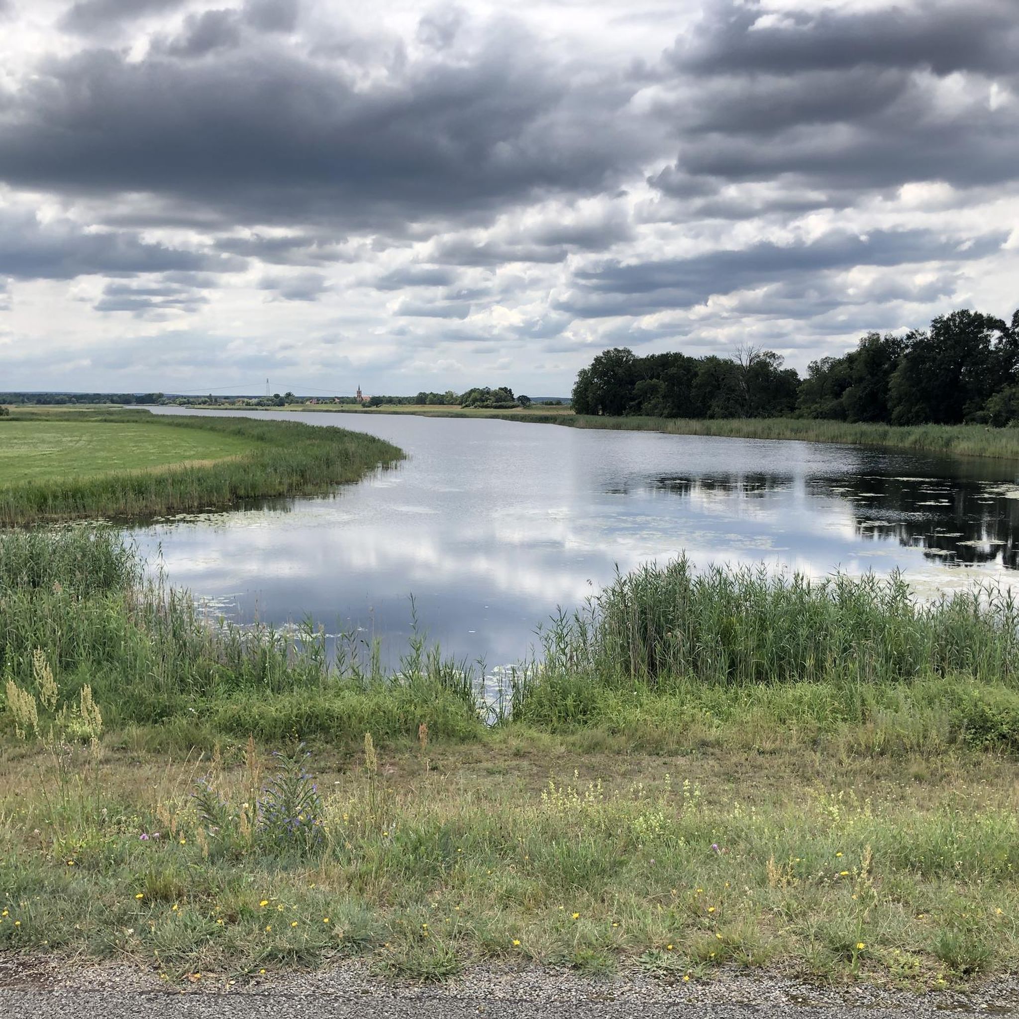
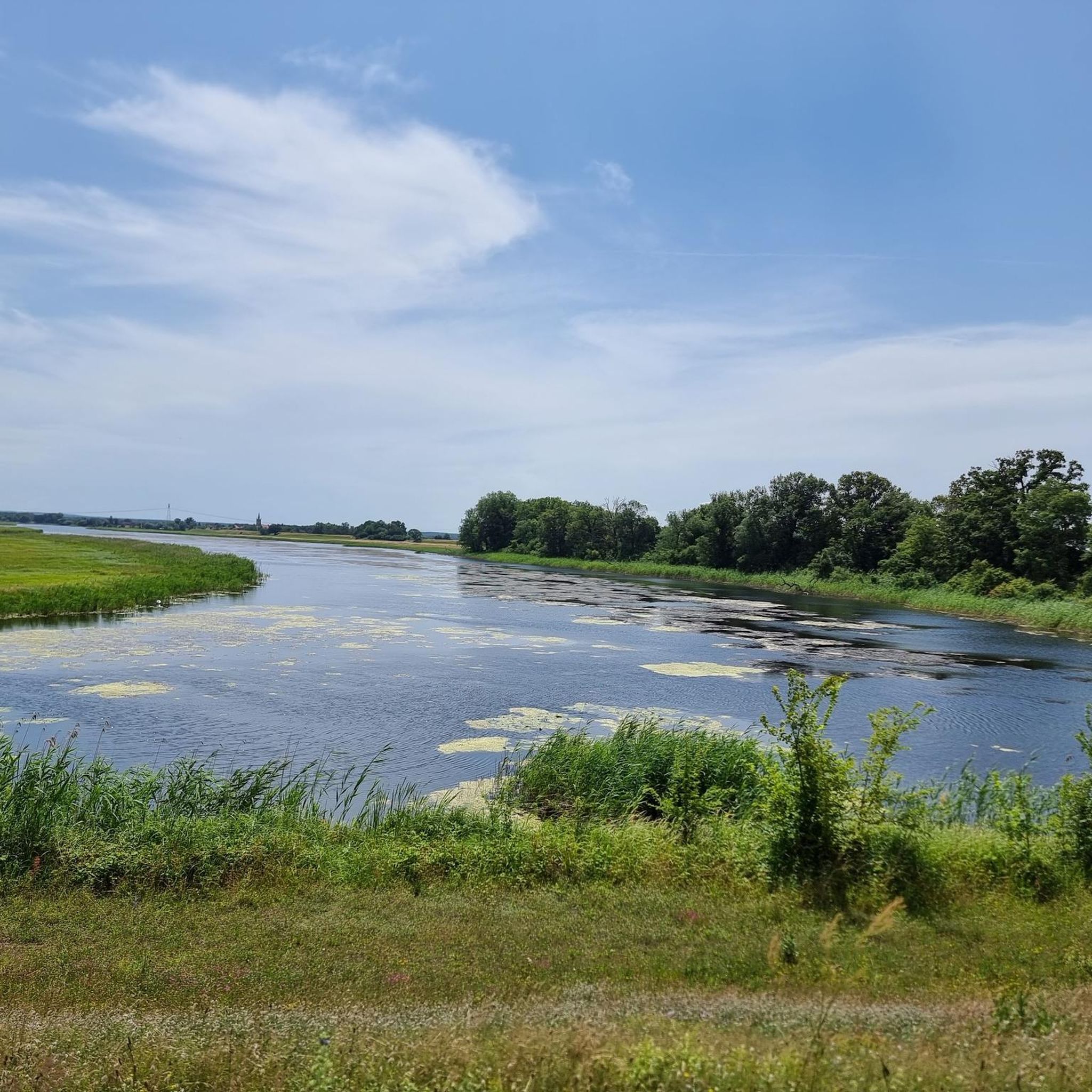
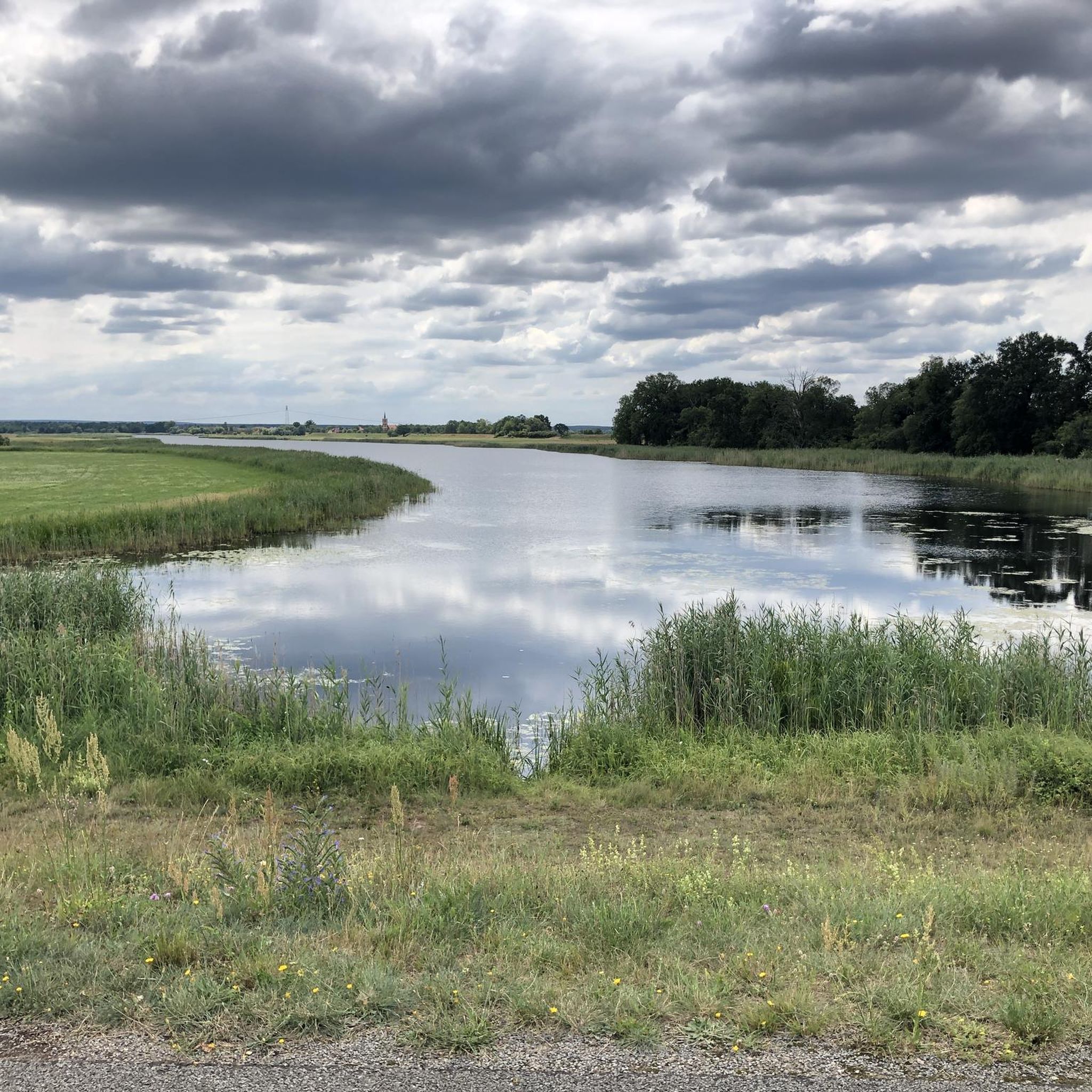
The approximately 145 hectare Schönitzer See is a lake in Saxony-Anhalt (Germany) near the Riesigk district of the town of Oranienbaum-Wörlitz (Wittenberg district). The Schönitzer See is only a few meters deep and lies at an altitude of 62 m above sea level. It is the district's most outstanding natural area and is drained northwards into the North Sea via the Elbe. The lake is a former oxbow of the Elbe. It is divided into three sections by the road to the Riesigk district of Schönitz, from which the name is derived, and by the Neuer Wall flood embankment. The section north of Neuer Wall belongs to Wörlitz. The lakes in Wörlitz Park can also be supplied with additional water if required via a ditch that was only created in the 1970s. The Elbe cycle path on or along Neuer Wall leads through the Elbe floodplain on the northern edge of the municipality of Riesigk. As an old arm of the Elbe, it is a eutrophic shallow water lake that has become heavily silted up in recent decades. Reed beds, meadows and fragments of alluvial forest line its banks. The southern part is in the Riesigk area, outside the Elbe's floodplain. The northern part is known as the Radehochsee and is regularly flooded by floods. The ditch, which mostly comes from the Düben Heath, flows through this part of the lake before it flows into the Elbe near Wörlitz. This situation, as well as the use of the land, has a decisive influence on the composition of the relatively species-rich fauna and flora of the area. To the west of the lake there are eight artificially raised hills that serve as flood protection, in particular to protect the nearby flood dyke from heavy ice. They are also known as wild mountains because they serve as rescue hills during floods. On the northernmost hill there is a memorial stone in direct view of Wörlitz Park. In 2002, this area was also hit by the Elbe floods. After a dyke breach near Rehsen, the Schönitzer Luch was also flooded. Extensive dyke construction measures carried out subsequently have protected this area since then, so that there was no further flooding during the floods in Central Europe in 2013. The lake is located in the Schönitzer See nature reserve in the Middle Elbe Biosphere Reserve. The lake is also known for its abundance of fish. Eels, perch, pike and catfish can be found in the lake. Source https://de.wikipedia.org/wiki/Sch%C3%B6nitzer_See
6
0

Very beautiful, car-free, lonely path along the Elbe
0
0


더 살펴보기
찾고 있는 하이라이트를 아직 못 찾으셨나요? 다른 지역의 주요 명소 가이드를 확인해보세요:
