뉴브런즈윅 최고의 라이딩 경로
4.6
(13)
495
자전거 타는 사람
68
라이딩
뉴브런즈윅에서 하이킹하며 캐나다 구석 부분까지 살펴볼까요? 뉴브런즈윅에 있는 모든 하이킹 및 워킹 경로 컬렉션 중 가장 멋진 하이킹 경로를 엄선하여 소개해드릴게요. 다른 하이커가 공유한 실제 팁과 사진을 살펴보고 후기를 읽으며 마음에 드는 뉴브런즈윅 워킹 경로를 찾아보세요.
마지막 업데이트: 10월 15, 2026
21
자전거 타는 사람
131km
06:14
430m
430m
어려운 도로 자전거 타기. 우수한 체력 필요. 투어 중 라이딩하기 어려운 비포장 구간이 있을 수 있음.
15
자전거 타는 사람
76.8km
03:41
890m
890m
보통 도로 자전거 타기. 좋은 체력 필요. 지면 대부분이 잘 포장되어 있고 라이딩하기 쉬움.

19
자전거 타는 사람
39.2km
01:48
350m
350m
보통 도로 자전거 타기. 좋은 체력 필요. 지면 대부분이 잘 포장되어 있고 라이딩하기 쉬움.
21
자전거 타는 사람
37.1km
01:38
300m
300m
초급용 로드 라이딩. 모든 체력 수준에 적합. 지면 대부분이 잘 포장되어 있고 라이딩하기 쉬움.
4.0
(2)
19
자전거 타는 사람
53.4km
02:35
240m
240m
보통 도로 자전거 타기. 좋은 체력 필요. 지면 대부분이 잘 포장되어 있고 라이딩하기 쉬움.
13
자전거 타는 사람
70.2km
03:41
610m
610m
보통 도로 자전거 타기. 좋은 체력 필요. 투어 중 라이딩하기 어려운 비포장 구간이 있을 수 있음.
13
자전거 타는 사람
73.6km
03:22
280m
280m
보통 도로 자전거 타기. 좋은 체력 필요. 투어 중 라이딩하기 어려운 비포장 구간이 있을 수 있음.
14
자전거 타는 사람
116km
06:02
930m
930m
어려운 도로 자전거 타기. 우수한 체력 필요. 지면 대부분이 잘 포장되어 있고 라이딩하기 쉬움.
12
자전거 타는 사람
60.4km
02:48
610m
610m
보통 도로 자전거 타기. 좋은 체력 필요. 지면 대부분이 잘 포장되어 있고 라이딩하기 쉬움.
15
자전거 타는 사람
34.9km
01:43
200m
200m
보통 도로 자전거 타기. 모든 체력 수준에 적합. 투어 중 라이딩하기 어려운 비포장 구간이 있을 수 있음.
더 다양한 경로와 다른 탐험가들의 추천을 살펴보세요.
이미 komoot 계정이 있나요?
투어 추천은 다른 사람들이 komoot에서 완료한 수천 개의 활동을 바탕으로 구성되어 있습니다.

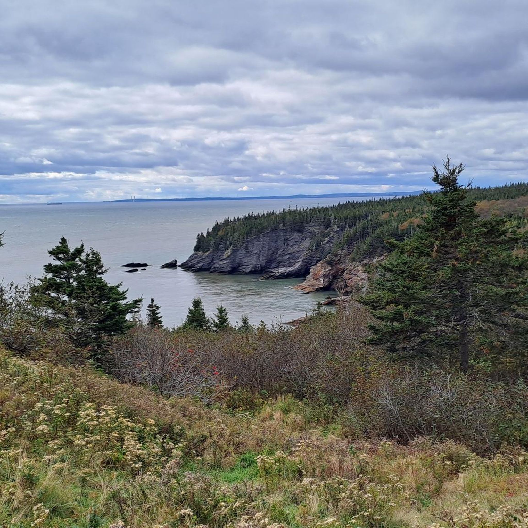

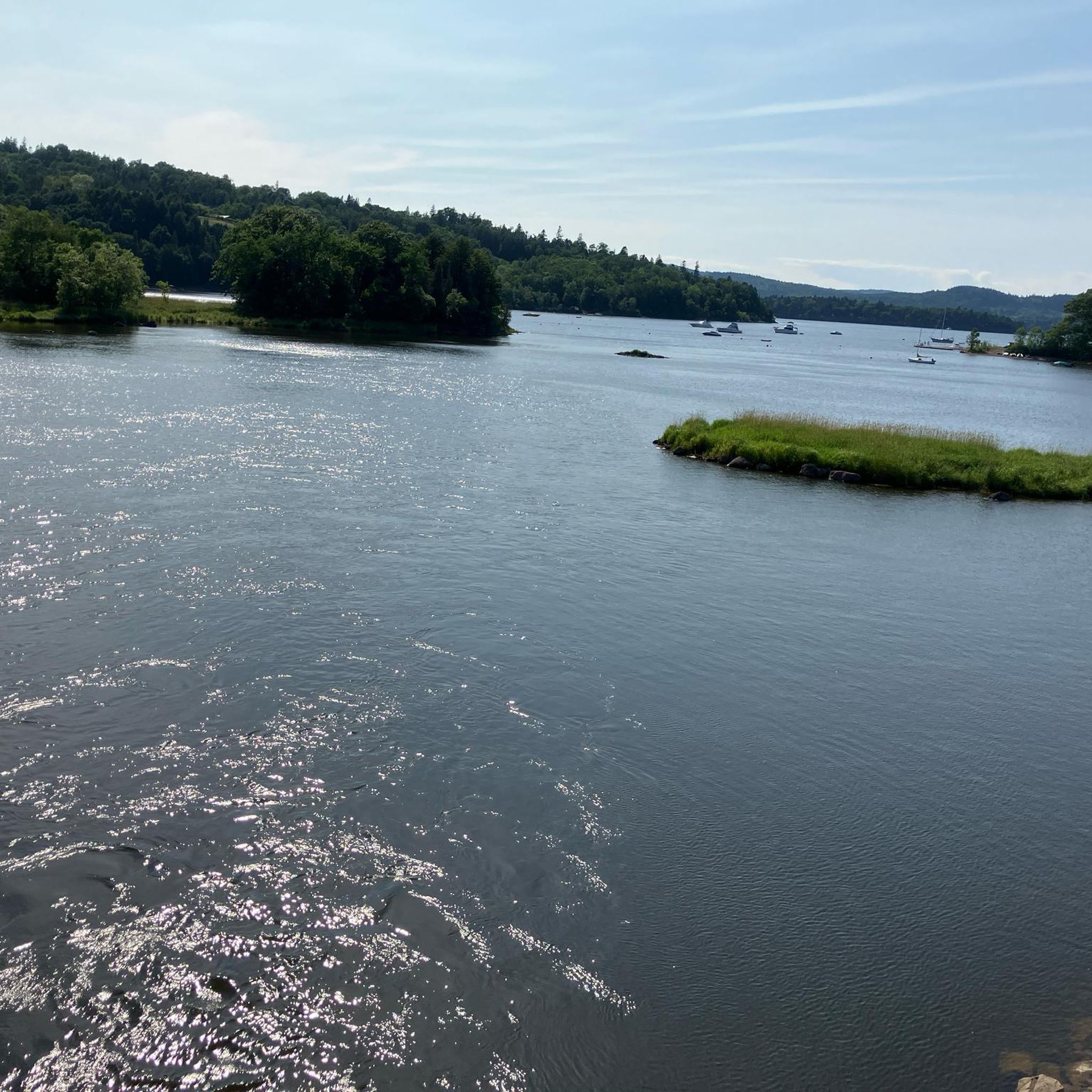
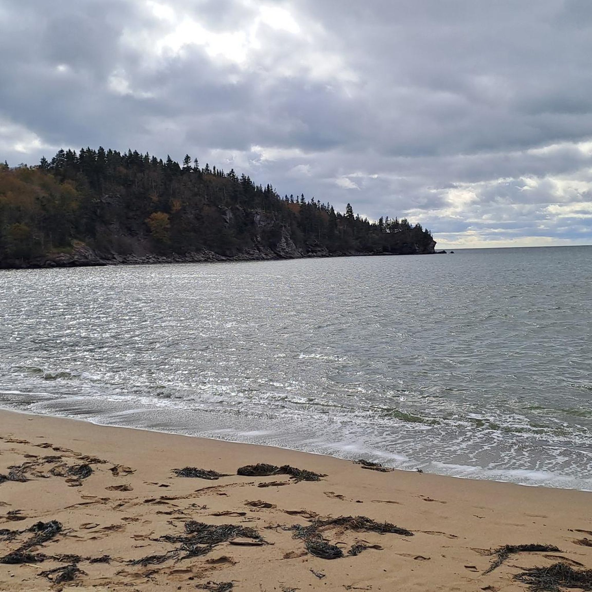

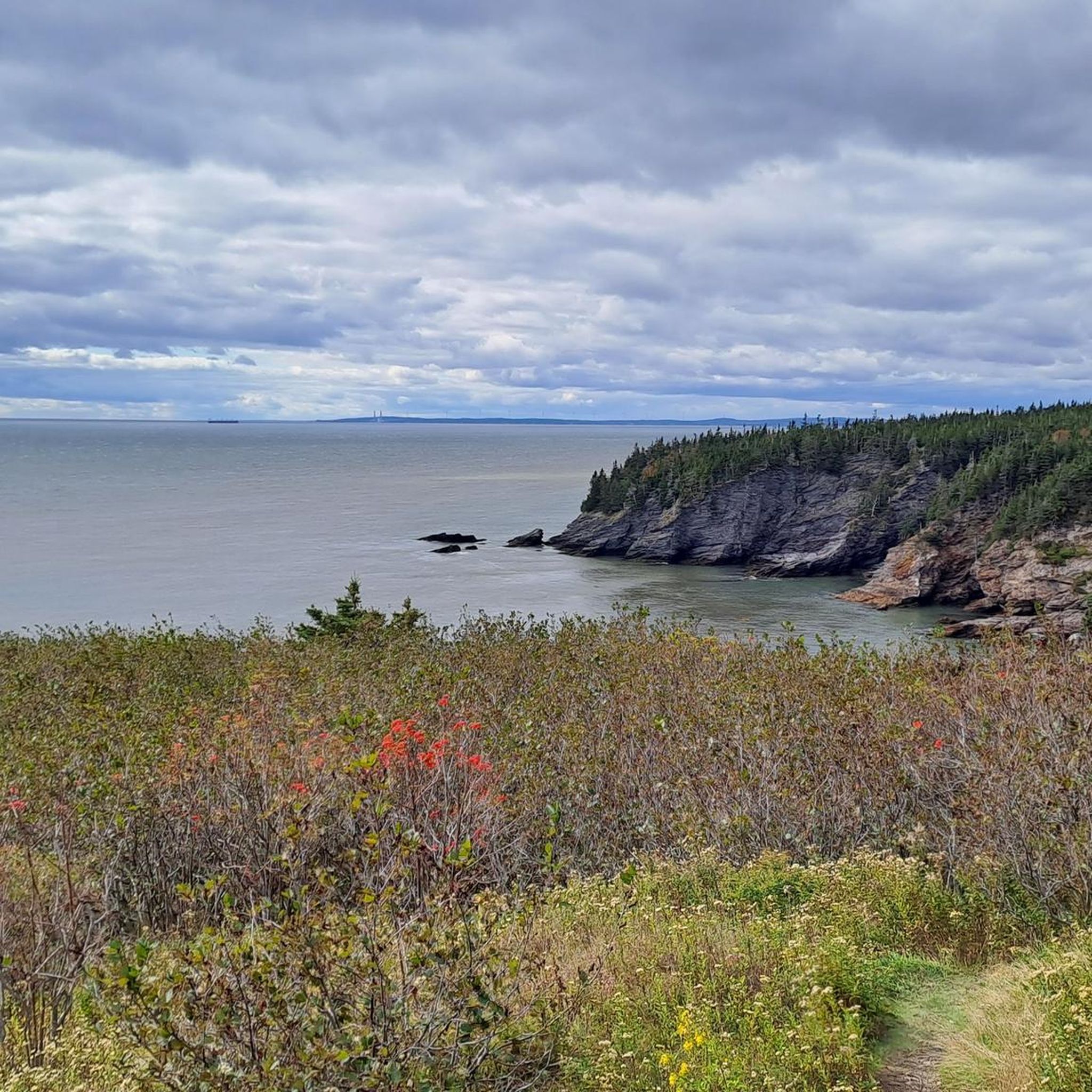

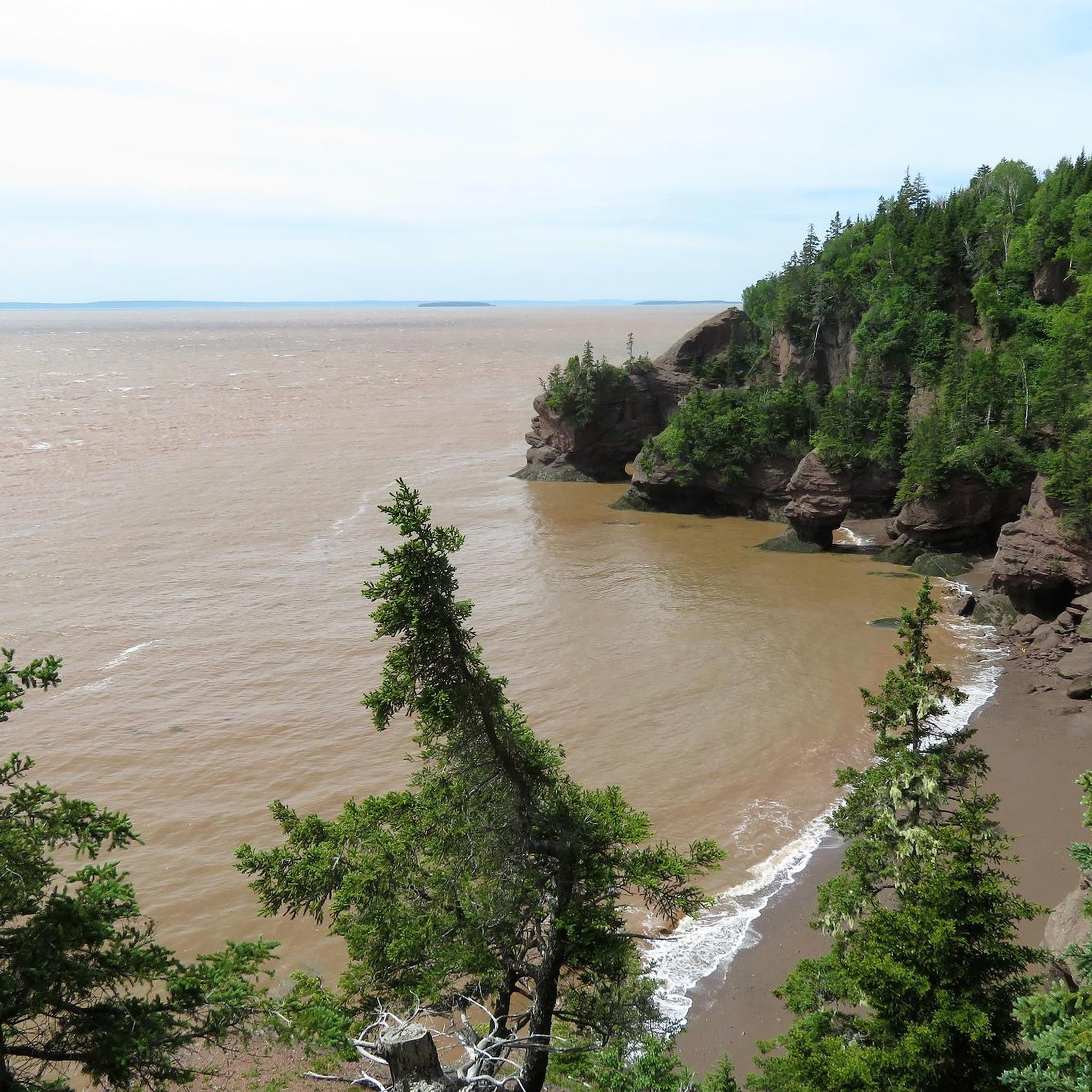
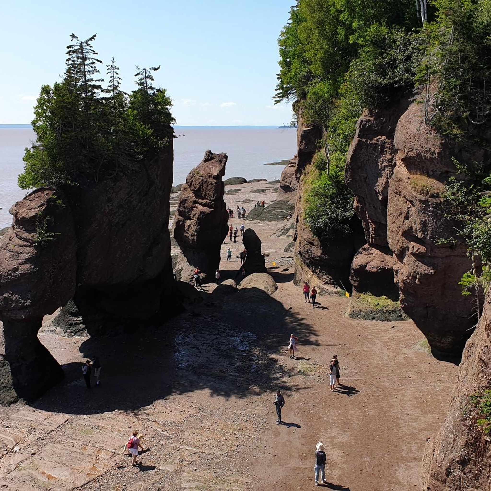
뉴브런즈윅의 다른 모험


커뮤니티 팁

프레더릭턴 철도교는 한때 철도교였으나 오늘날에는 세인트존 강을 건너는 보행자와 자전거 이용자만 이용합니다. 2008년에 이 다리는 프레더릭턴 트레일 시스템의 창립자 중 한 명인 빌 소프 워킹 브리지로 이름이 바뀌었고, 매년 약 600,000명의 자전거 이용자와 하이커를 수송합니다.
0
0
Where Maple Avenue and Stewart Avenue meet, sits the humble trailhead of the Sussex Nature Walkway. There is no official parking area, but it's close to downtown, so there's plenty of street parking and nearby lots. The city has installed a sign at the trailhead with a map of the trail so that you won't miss it.
0
0

A long, mostly level multi-use route that traces the quiet corridor of the Nashwaak River on Fredericton’s north side. The compacted-gravel surface makes it easy to walk, run, or cycle, and the trail moves between shaded woodland, open stretches, and short riverside clearings. Views of the Nashwaak appear steadily along the way, especially near bridge crossings and wider bends in the river. The trail takes its name from the Nashwaak River itself, derived from the Wolastoqey (Maliseet) word Nekawäk—often interpreted as “slow current” or “still water,” a fitting description of the calm, steady flow that defines this part of the valley.
0
0
A riverfront green space along the Saint John River, offering open views across the water toward downtown Fredericton. The park features a wide, level pathway suitable for walking, running, and cycling, with plenty of lawn area and benches along the shoreline.
0
0
A small lakeside lookout offering a clear view across McKeever Lake from the forested edge. The approach is mostly level, following short local paths that open onto a gap in the trees with an unobstructed line of sight over the water. The lake is bordered by red maple, white birch, and pockets of spruce, and the reflection of the tree line is especially noticeable on calm days. It’s a simple, quiet waypoint that works well as a turnaround spot or mid-route pause for walkers and runners exploring the nearby neighbourhood trails.
0
0

The Saunders Brook Trail is an 8-kilometer, well-maintained path featuring a crushed rock surface. The trail follows the course of Saunders Creek and offers several convenient benches for resting along the way.
0
0
Hillside Trailhead is only a gate, a sign, and a gravel pullout. Parking is not allowed here, but there is a dirt lot three meters south on Grove Avenue.
0
0
뉴브런즈윅에서 가장 인기 있는 명소


찾고 계신 것을 찾지 못하셨나요?
뉴브런즈윅에서 더 많은 로드 사이클링 경로를 확인하고 목적지에서 완벽한 경로를 찾아보세요.
더 살펴보기
다른 지역의 최고의 로드 사이클링 경로를 살펴보세요.
