경로

플래너

기능

업데이트

App

로그인 또는 가입

앱 다운로드

로그인 또는 가입

경로
하이킹

데슈츠 카운티

경로
하이킹

데슈츠 카운티

데슈츠 카운티 주변 최고의 반려견 동반 하이킹 & 워킹 코스

4.7

(349)

7,909

등산객

57

하이킹

반려견 동반 하이킹 트레일이 있는 오리건주 디슈츠 카운티는 화산 활동, 고지대 사막 지형, 울창한 국립 산림으로 형성된 다양한 풍경을 가로지릅니다. 이 지역은 캐스케이드 산맥의 동쪽 그림자와 함께 용암류와 콘 화산을 포함한 두드러진 화산 지형을 특징으로 합니다. 하이커들은 디슈츠 강을 따라, 광활한 소나무 숲을 통과하여, 그리고 수많은 고산 호수 주변의 경로를 탐험할 수 있습니다. 이 다양한 지형은 야외 애호가들과 그들의 반려견 동반자들에게 폭넓은 경험을 제공합니다.

디슈츠 카운티 최고의 반려견 동반 하이킹 트레일

  • 가장 인기 있는 반려견 동반 하이킹 경로는 Good Dog and River Trail Loop로, 완료하는 데 1시간 24분이 소요되는 쉬운 5.3km 트레일입니다. 이 경로는 개들에게 적합한 강변을 따라 쾌적한 산책을 제공합니다.
  • 현지 하이커들 사이에서 또 다른 인기 경로는 Lava Butte Rim Trail로, 3.6km의 쉬운 경로입니다. 이 트레일은 라바 뷰트 가장자리에서 주변 화산 풍경을 조망할 수 있습니다.
  • 현지 하이커들은 또한 약 2시간 7분 만에 완료되는 6.2km 길이의 화산 지형을 통과하여 파노라마 전망대로 이어지는 Paulina Peak Trail을 좋아합니다.
  • 디슈츠 카운티에서의 하이킹은 화산 봉우리, 고지대 사막 풍경, 울창한 소나무 숲으로 특징지어지며, 다양한 난이도 수준에 맞는 옵션이 있습니다.
  • 디슈츠 카운티의 경로는 300개 이상의 리뷰에서 평균 4.75점의 높은 점수를 받은 komoot 커뮤니티에 의해 높이 평가되었습니다. 6000명 이상의 하이커가 komoot를 사용하여 디슈츠 카운티의 다양한 지형을 탐험했습니다.

마지막 업데이트: 8월 3, 2026

24

등산객

#1.

Good Dog and River Trail Loop

5.26km

01:24

60m

60m

Embark on the Good Dog and River Trail Loop, an easy 3.3-mile (5.3 km) hike that takes you through the scenic Deschutes National Forest. You will experience diverse landscapes, from dense pine forests to unique volcanic rock formations. The route offers beautiful views of the Deschutes River, with several sandy spots where dogs can cool off. With a gentle elevation gain of 187 feet (57 metres), this loop is perfect for a relaxed outing, typically completed in about 1 hour and 24 minutes. Keep an eye out for rewarding glimpses of Mount Bachelor as you explore.

Planning your visit to the Good Dog and River Trail Loop is straightforward, starting at the convenient Rimrock Trailhead. You will find spacious and free parking available, along with ADA restrooms and picnic tables, making it an ideal spot to begin your adventure. While the trail is easy, you should still wear sturdy shoes and carry plenty of water, particularly during the drier seasons. This route is accessible year-round, offering a pleasant experience whenever you choose to go. Consider an early morning start to enjoy cooler temperatures and fewer crowds.

This trail is a true paradise for dog owners, allowing off-leash exploration throughout the year. Beyond its dog-friendly nature, the loop stands out for its varied scenery, combining river views with glimpses of distant peaks. You will encounter unique volcanic rock formations that add a distinct geological character to the journey. The trail's accessibility and amenities make it a popular choice for a quick escape into nature near Bend, Oregon.

기기에서 길안내

휴대폰으로 전송

저장

초급

5.0

(1)

5

등산객

Embark on an easy hike around the rim of a cinder cone with the Lava Butte Rim Trail. This 2.2-mile (3.6 km) route involves a gentle climb of 476 feet (145 metres) and takes about 1 hour and 3 minutes to complete. As you walk, you will gain 360-degree views of the surrounding volcanic landscape. Look down into the impressive 150-foot deep crater of Lava Butte itself. To the west, the majestic peaks of the Cascade Mountains, including North Sister, Middle Sister, and Mount Bachelor, dominate the horizon.

Planning your visit to Lava Butte requires some awareness, especially during busy times. Vehicle access to the summit is often regulated in peak season, sometimes needing a shuttle or timed passes to manage visitor numbers. Dogs are welcome on the trail and the road leading up to the butte. If you wish to extend your hiking adventure, you can start your journey from the Lava Lands Visitor Center, adding to the overall distance and elevation gain.

This trail offers a unique chance to explore a cinder cone within the Newberry National Volcanic Monument. Informational signs placed along the route explain the geology and history of this fascinating area. You will learn about the formation of the butte and the wider volcanic landscape. It is a great way to experience a significant geological feature with minimal effort.

초급
guide_signup
저희가 komoot 모바일 앱로 길을 안내해 드리겠습니다.
무료 komoot 계정로 끝없는 야외 모험을 손쉽게 찾고, 맞춤 설정하며 길안내할 수 있어요.

무료 회원 가입

2

등산객

Embark on an easy hike along the Paulina Creek Falls Trail, a delightful 2.8-mile (4.5 km) route that offers a gentle ascent of 696 feet (212 metres). You can comfortably complete this journey in about 1 hour and 19 minutes, making it perfect for a refreshing outing. The trail winds through dense forests of ponderosa pines and fir trees, leading you to the impressive Paulina Creek Falls. Here, the creek dramatically splits into an 80-foot twin waterfall, plunging over ancient volcanic cliffs, providing spectacular views from various vantage points.

To plan your visit, be aware that a recreation pass is required for parking at the Paulina Falls Day Use Area. Access to the falls via Paulina Lake Road is seasonal; the road typically closes in winter due to heavy snow. During these colder months, you can still reach the area, but you will need to use snowshoes, skis, or a snowmobile. Always check road conditions before heading out, especially outside of peak summer season, to ensure a smooth trip.

This route immerses you in the unique volcanic landscape of the Newberry National Volcanic Monument, located south of Bend, Oregon. The area's geology is a significant feature, with the falls themselves being a testament to the region's volcanic past. The trail offers a wonderful opportunity to experience the natural beauty and geological wonders of Central Oregon, providing a memorable outdoor experience for all skill levels.

초급

1

등산객

6.23km

02:07

500m

0m

Embark on the Paulina Peak Trail, a moderate hike that climbs 1625 feet (495 metres) over 3.9 miles (6.2 km) to the summit of Paulina Peak. As you ascend, the path winds through a changing forest, eventually opening up to reveal expansive views. From the top, you'll be treated to panoramic vistas of the Newberry Caldera, including Paulina Lake and East Lake, and on clear days, distant peaks like the Three Sisters and Mount Hood.

This route typically takes around 2 hours and 7 minutes to complete, offering a rewarding experience for its duration. While the summit is also accessible by a seasonal road, choosing to hike provides a more immersive journey through the volcanic landscape. Be prepared for varying conditions; even in late June, you might encounter snow near the summit, and the trail can become dusty and dry later in the season.

The Paulina Peak Trail stands out as a prime way to experience the unique geology of the Newberry National Volcanic Monument. It offers a direct connection to the heart of the Newberry Volcano, showcasing its caldera, obsidian lava flows, and the two beautiful lakes nestled within. This trail is an excellent choice if you want to gain a comprehensive perspective of this remarkable volcanic area.

보통

Embark on a moderate hike along the Peter Skene Ogden Trail to McKay Crossing, a 5.6-mile (9.0 km) route that takes about 2 hours and 31 minutes to complete. You'll experience a tranquil forest setting, following Paulina Creek through the Deschutes National Forest. The trail offers a true waterfall paradise, with cascades appearing frequently, sometimes every half-mile. Keep an eye out for the majestic McKay Crossing Waterfall, a prominent landmark near the campground. Despite its length, the route is mostly flat, with no elevation gain, making it accessible for many hikers.

Before you head out, be aware of the access roads leading to the area. Roads like McKay Crossing 2120 can be washboarded and feature steep grades, so plan your drive accordingly. If you are visiting in winter, heavy snowfall can significantly increase the difficulty of reaching the trailhead. You might need appropriate gear, such as chains for your vehicle, especially if you plan on cross-country skiing in the vicinity.

This route is nestled among big evergreens, providing a serene forest experience. As you follow Paulina Creek, you will encounter unique geological formations, including natural water slides. The trail is part of the Newberry National Volcanic Monument, offering a glimpse into the region's volcanic past and rich natural beauty.

보통
무료 회원 가입 후 데슈츠 카운티 하이킹 경로를 53개 더 확인하세요

더 다양한 경로와 다른 탐험가들의 추천을 살펴보세요.

무료 회원 가입

이미 komoot 계정이 있나요?

투어 추천은 다른 사람들이 komoot에서 완료한 수천 개의 활동을 바탕으로 구성되어 있습니다.

오늘 무료 계정으로 시작하세요

다음 모험이 기다리고 있어요.

로그인 또는 가입하기

데슈츠 카운티 주변 인기 장소

Deschutes National Forest 반려견 동반 하이킹

Seventh Mountain 반려견 동반 하이킹

Sunriver 반려견 동반 하이킹

Bend 반려견 동반 하이킹

Tetherow 반려견 동반 하이킹

Smith Rock State Park 반려견 동반 하이킹
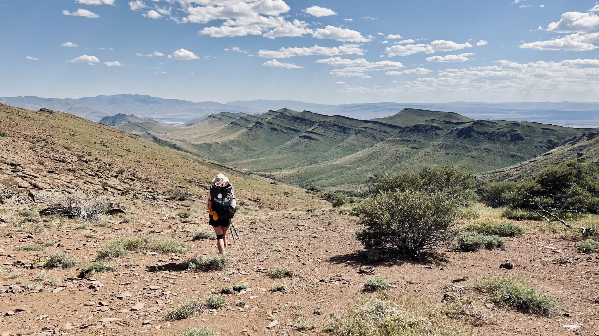
Oregon Desert Trail – Roughly the Right Direction

4,200 킬로미터의 원정 - 태평양 꼭대기 트레일 멕시코에서 캐나다까지
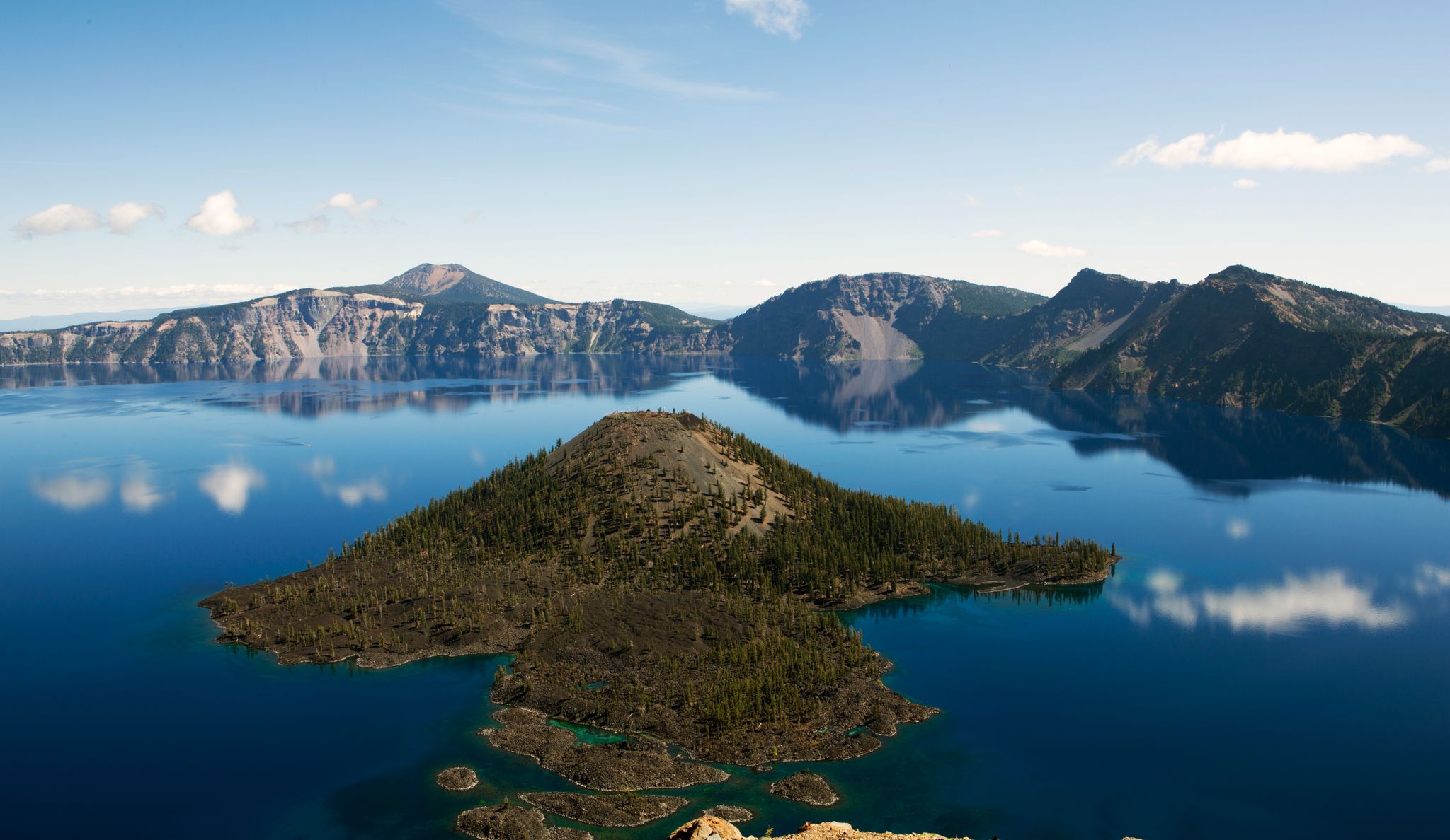
Volcanic peaks and glistening shores – discover Oregon and Washington

오레곤 트레일 그래빌 그라인더 — 카스케이드 탑재 둘레

데슈츠 카운티의 다른 모험

Oregon Desert Trail – Roughly the Right Direction

하이킹 컬렉션 에 의해

Caro "Bandit"

커뮤니티 팁

Teri S
8월 8, 2024, Paulina Peak

Sweeping views of Newberry Crater, Paulina and East Lakes, the Big Obsidian Flow and the mountains and buttes all around. Yes, you can drive up here, but you can also hike the trail and get a great workout to earn the views.

0

0

Trails on both side of the creek offer different views of Paulina Falls. It's worth the short hike down the Peter Skene Ogden Trail from the top to catch a glimpse of the north side.

0

0

Teri S
5월 19, 2024, Double Falls

An excellent spot to fill up on water along the trail, or to take a cold plunge! There are a lot of points along this trail where you can get into the water and enjoy some natural water slides.

0

0

The geologic history of Oregon on display as you walk this trail is incredible. Interpretative signs explain many facets of the unique landscape - from the eruption history to the flora and fauna that live there. The volcanic history of Central Oregon is told here, and it is worth a stop!

1

0

This large bowl shaped falls is particularly beautiful in the winter, when snow and ice covers the rocks. Recent warm temperatures reduced the ice levels, but it was still quite beautiful to see all covered in snow.

0

0

If you don't have time to climb or drive on the butte, you should still do this very easy hike. There are great views and boards that explain a lot of things well.

번역: Google

0

0

Sue
7월 14, 2023, Double Falls

These beautiful 12-foot falls are spectacular. There are several waterfalls on the Peter Skene Ogden trail, each with its own unique features. These are no exception and offer a great opportunity to take some amazing photos.

0

0

Sue
7월 10, 2023, Paulina Lake

This pristine lake is one of the twin crater lakes in Newberry Crater. It is a beautiful spot to stop and take in nature's beauty.

0

0

자주 묻는 질문

데슈츠 카운티에는 반려견 친화적인 하이킹 트레일이 몇 개나 있나요?

데슈츠 카운티는 50개 이상의 반려견 친화적인 하이킹 트레일을 제공합니다. 반려견과 함께 여유로운 산책을 즐기기에 완벽한 쉬운 루트 34개, 약간 더 도전적인 보통 난이도 트레일 18개, 숙련된 등산객과 그들의 반려견을 위한 어려운 루트 2개 등 다양한 옵션을 찾을 수 있습니다.

경치 좋은 쉬운 짧은 반려견 친화적 하이킹 코스가 있나요?

네, 쉽고 경치 좋은 산책을 원하시면 Good Dog and River Trail Loop를 고려해 보세요. 이 코스는 즐거운 강변 풍경을 제공하며 반려견과 함께 짧은 외출에 완벽합니다. 경치를 감상하기에 또 다른 좋은 옵션은 Lava Butte Rim Trail로, 화산 원뿔대에서 파노라마 전망을 제공합니다.

폭포가 있는 반려견 친화적인 트레일은 어디에서 찾을 수 있나요?

데슈츠 카운티에는 반려견과 함께 즐길 수 있는 아름다운 폭포 트레일이 몇 군데 있습니다. Paulina Creek Falls Trail은 인상적인 Paulina Falls로 이어지는 훌륭한 선택입니다. 데슈츠 국유림 내의 그림 같은 폭포로 유명한 Tumalo Falls와 Double Falls 주변의 트레일도 탐험할 수 있습니다.

이 지역에 반려견 친화적인 순환 코스가 있나요?

물론입니다! Good Dog and River Trail Loop는 환상적인 순환 옵션입니다. 또한, 벤드의 South Canyon Reach와 같은 데슈츠 강 트레일의 많은 구간은 강변의 다양한 풍경을 제공하는 순환 경험을 만드는 데 활용될 수 있습니다.

상당한 고도 상승이나 도전적인 지형을 가진 반려견 친화적인 트레일은 무엇이 있나요?

상당한 고도 상승이 있는 더 도전적인 하이킹을 위해서는 Paulina Peak Trail이 Newberry Caldera 가장자리에서 보람 있는 파노라마 전망을 제공합니다. 가이드에 명시적으로 어렵다고 표시되어 있지는 않지만, Smith Rock State Park 내의 Misery Ridge Trail과 같은 트레일은 가파른 오르막과 극적인 암석 지형으로 유명하며, 당신과 반려견에게 좋은 운동을 제공합니다.

데슈츠 카운티의 반려견 친화적인 트레일에 대해 다른 등산객들은 어떻게 말하나요?

komoot 커뮤니티는 데슈츠 카운티의 반려견 친화적인 트레일에 대해 매우 높은 평가를 하고 있으며, 300건 이상의 평가에서 평균 5점 만점에 4.75점을 받았습니다. 리뷰어들은 종종 화산 지형, 고사막 지형부터 울창한 소나무 숲과 멋진 강 전망에 이르기까지 다양한 풍경을 칭찬하며, 등산객과 반려견 모두에게 진정으로 즐거운 경험을 선사합니다.

데슈츠 카운티의 트레일에서 반려견에 대한 특정 규칙이나 규정이 있나요?

많은 트레일이 반려견 친화적이지만, 특정 공원이나 숲의 규정을 확인하는 것이 항상 가장 좋습니다. 일반적으로 데슈츠 국유림과 주립 공원을 포함한 데슈츠 카운티의 대부분의 공공 장소와 트레일에서는 반려견을 목줄에 묶어야 합니다. 항상 Leave No Trace 원칙을 실천하고, 반려견의 배설물을 치우세요.

독특한 자연 기념물 근처에 반려견 친화적인 트레일을 찾을 수 있나요?

네, 데슈츠 카운티는 자연 기념물이 풍부합니다. Crooked River 근처의 트레일을 탐험하거나, 독특한 화산 지형을 제공하는 Newberry Volcanic Monument: Lava Lands와 같은 지역을 방문할 수 있습니다. Paulina Creek Falls Trail은 또한 인상적인 Upper Paulina Falls로 이어집니다.

데슈츠 강을 따라 반려견 친화적인 트레일이 있나요?

데슈츠 강은 이 지역의 특징적인 지형이며, 많은 트레일이 그 강줄기를 따라 이어집니다. Peter Skene Ogden Trail to McKay Crossing은 아름다운 강변 경험을 제공합니다. 벤드의 South Canyon Reach와 같은 데슈츠 강 트레일의 다른 구간들도 반려견과 함께 강변 산책을 즐길 수 있는 훌륭한 기회를 제공합니다.

데슈츠 카운티에서 반려견과 함께 하이킹하기 가장 좋은 시기는 언제인가요?

봄과 가을은 일반적으로 데슈츠 카운티에서 가장 쾌적한 하이킹 조건을 제공하며, 기온이 온화하고 인파가 적습니다. 여름은 특히 고사막 지역에서 더울 수 있으므로, 이른 아침이나 늦은 오후 하이킹을 권장합니다. 겨울에는 일부 트레일에서 독특한 스노우슈잉 기회를 제공할 수 있지만, 항상 출발 전에 날씨와 접근성을 확인하세요.

캐스케이드 산맥의 전망을 제공하는 반려견 친화적인 트레일이 있나요?

데슈츠 카운티의 많은 트레일은 특히 동쪽 지역에서 캐스케이드 산맥의 멋진 전망을 제공합니다. Paulina Peak Trail은 종종 멀리 보이는 캐스케이드 봉우리를 포함하는 광활한 전망을 제공합니다. 캐스케이드 레이크스 시닉 바이웨이를 통해 접근할 수 있는 Sparks Lake와 Todd Lake와 같은 고산 호수 주변의 트레일도 그림 같은 산 배경을 제공합니다.

데슈츠 카운티에서 가장 인기 있는 경로

데슈츠 카운티 하이킹

데슈츠 카운티에서 가장 인기 있는 명소

Places to see

Store rating

komoot 모바일 앱으로 영감을 받아보세요

무료 komoot 계정로 끝없는 야외 모험을 손쉽게 찾고, 맞춤 설정하며 길안내할 수 있어요.

또는

지금 komoot에 가입하세요

Store rating

찾고 계신 것을 찾지 못하셨나요?

데슈츠 카운티에서 더 많은 하이킹를 확인하고 목적지에서 완벽한 경로를 찾아보세요.

BendSeventh MountainSunriverTetherowDeschutes National ForestSmith Rock State Park

근처 어드벤처 가이드

Deschutes River Woods 즐길거리

background

새로운 정복을 위한 준비를 하세요

무료로 가입하기

탐험하기
경로경로 플래너기능바우처 사용하이킹MTB 트레일로드 사이클링 경로바이크패킹사이트맵
앱 다운로드
소셜 미디어에서 팔로우하기

© komoot GmbH

개인 정보 보호 정책
