쿠스 카운티에서 주변 최고의 가족 하이킹 & 워킹 코스
4.6
(323)
6,838
등산객
81
하이킹
가족 친화적인 하이킹 코스는 태평양의 거친 해안선과 바다 기둥, 조수 웅덩이부터 광활한 모래 언덕, 울창한 숲까지 다양한 풍경을 자랑합니다. 이 지역은 쿠스 베이 강어귀와 사우스 슬로를 포함한 중요한 강어귀 환경이 특징이며, 독특한 습지 탐험을 제공합니다. 내륙의 코스는 침엽수림과 원시림을 통과하며 종종 인상적인 폭포를 드러냅니다. 이 다양한 지형은 하이커들에게 다양한 경험을 제공합니다.
쿠스 카운티 최고의 가족 친화적인 하이킹 코스
- 가장 인기 있는 가족 친화적인 하이킹 코스는 해안 전망과 정원길을 제공하는 2.5마일(4.0km) 길이의 Shore Acres Loop Trail이며, 완료하는 데 1시간 15분이…
마지막 업데이트: 9월 13, 2026
5.0
(4)
122
등산객
6.46km
03:22
1,280m
0m
Prepare for a difficult hike up Mount Washington via the Tuckerman Ravine Trail, a challenging ascent covering 4.0 miles (6.5 km). You will gain a significant 4202 feet (1281 metres)…
4.5
(2)
88
등산객
12.5km
05:54
940m
650m
Embark on the challenging Mount Tom, Field, Willey, and Avalon Loop, a difficult 7.8 miles (12.5 km) hike that typically takes 5 hours and 54 minutes. You will ascend a…

4.0
(1)
48
등산객
15.7km
06:35
1,300m
1,300m
Embark on the difficult Mount Washington Loop via Tuckerman Ravine and Boott Spur Trail, a challenging hike covering 9.8 miles (15.7 km) with an elevation gain of 4275 feet (1303…
4.5
(2)
47
등산객
16.4km
07:01
1,430m
1,430m
Embark on the Mount Washington via Lion Head and Boott Spur Loop for a truly challenging hiking experience, covering 10.2 miles (16.4 km) with a substantial elevation gain of 4677…
4.3
(3)
63
등산객
20.3km
07:53
970m
1,090m
Embark on the challenging Mount Pierce, Jackson, and Webster Loop, a difficult hike spanning 12.6 miles (20.3 km) with a significant 3170 feet (966 metres) of elevation gain. This route…
더 다양한 경로와 다른 탐험가들의 추천을 살펴보세요.
이미 komoot 계정이 있나요?
투어 추천은 다른 사람들이 komoot에서 완료한 수천 개의 활동을 바탕으로 구성되어 있습니다.
오늘 무료 계정으로 시작하세요
다음 모험이 기다리고 있어요.
쿠스 카운티에서 주변 인기 장소

Presidential Range-Dry River Wilderness 가족 하이킹
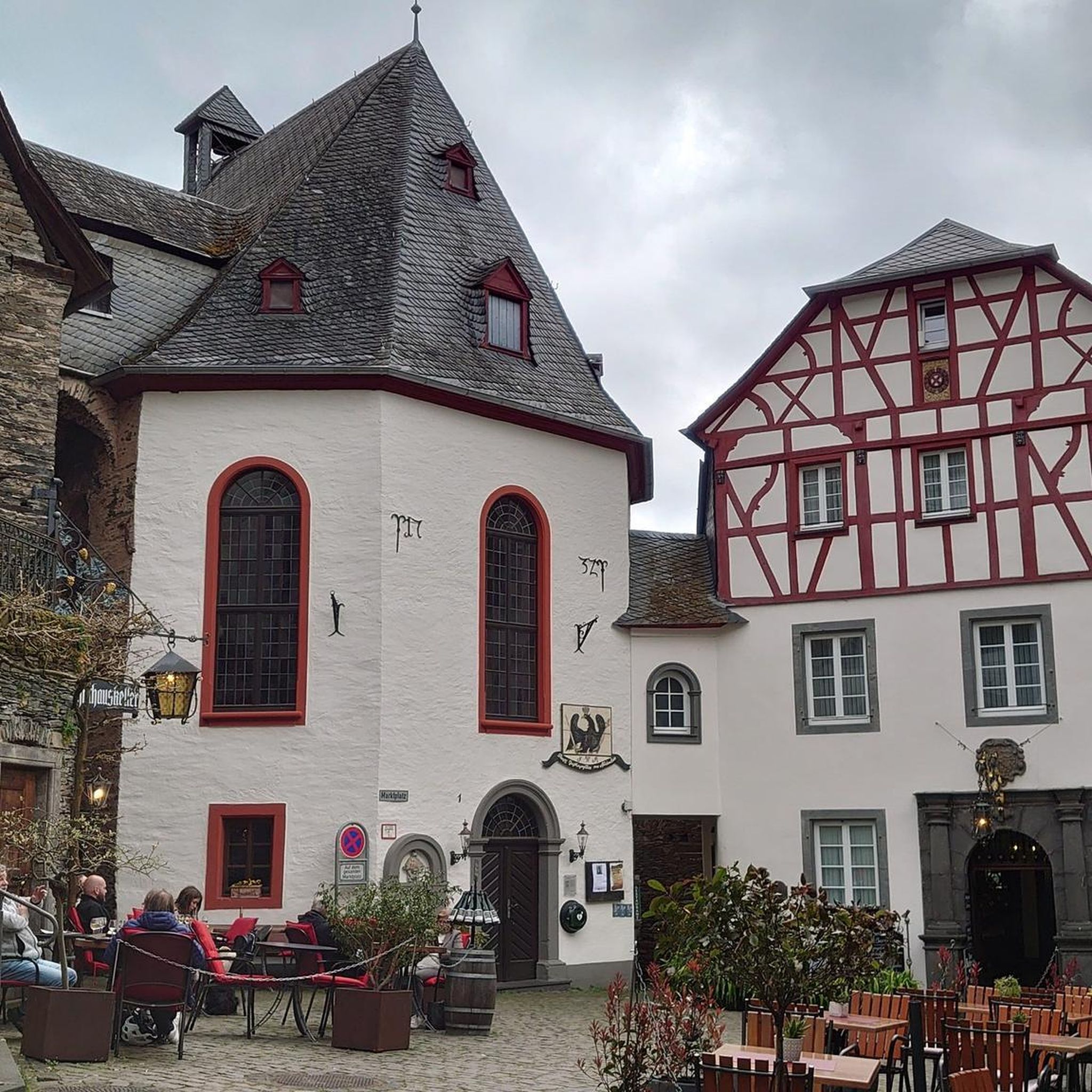
Great Gulf Wilderness 가족 하이킹

Wild River Wilderness 가족 하이킹
Pondicherry Division Of The Silvio O. Conte National Fish And Wildlife Refuge 가족 하이킹

Moose Brook State Park 가족 하이킹

Gorham 가족 하이킹

Appalachian Trail — 미국에서 가장 상징적인 장거리 하이킹
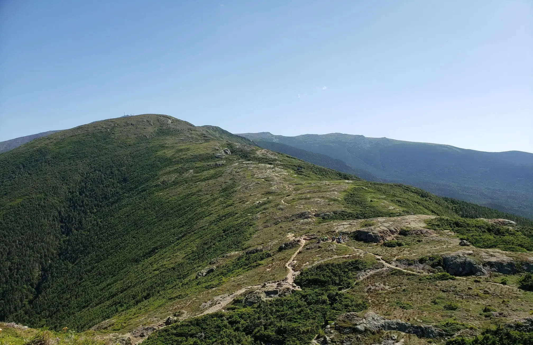
The Presidential Traverse — 뉴햄프셔의 고전적인 샌드백
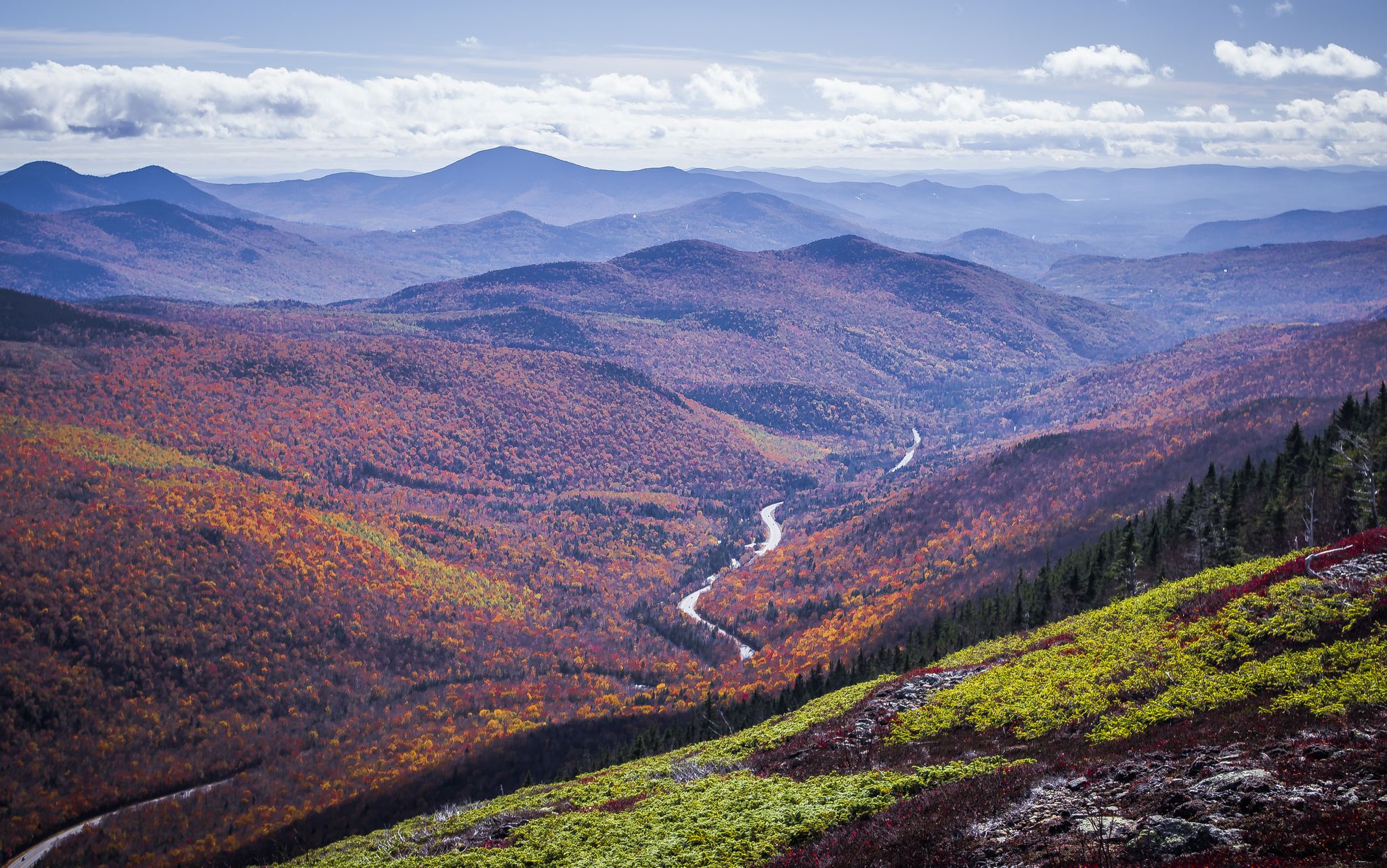
Cohos Trail — 뉴햄프셔의 오지 North Woods 탐험
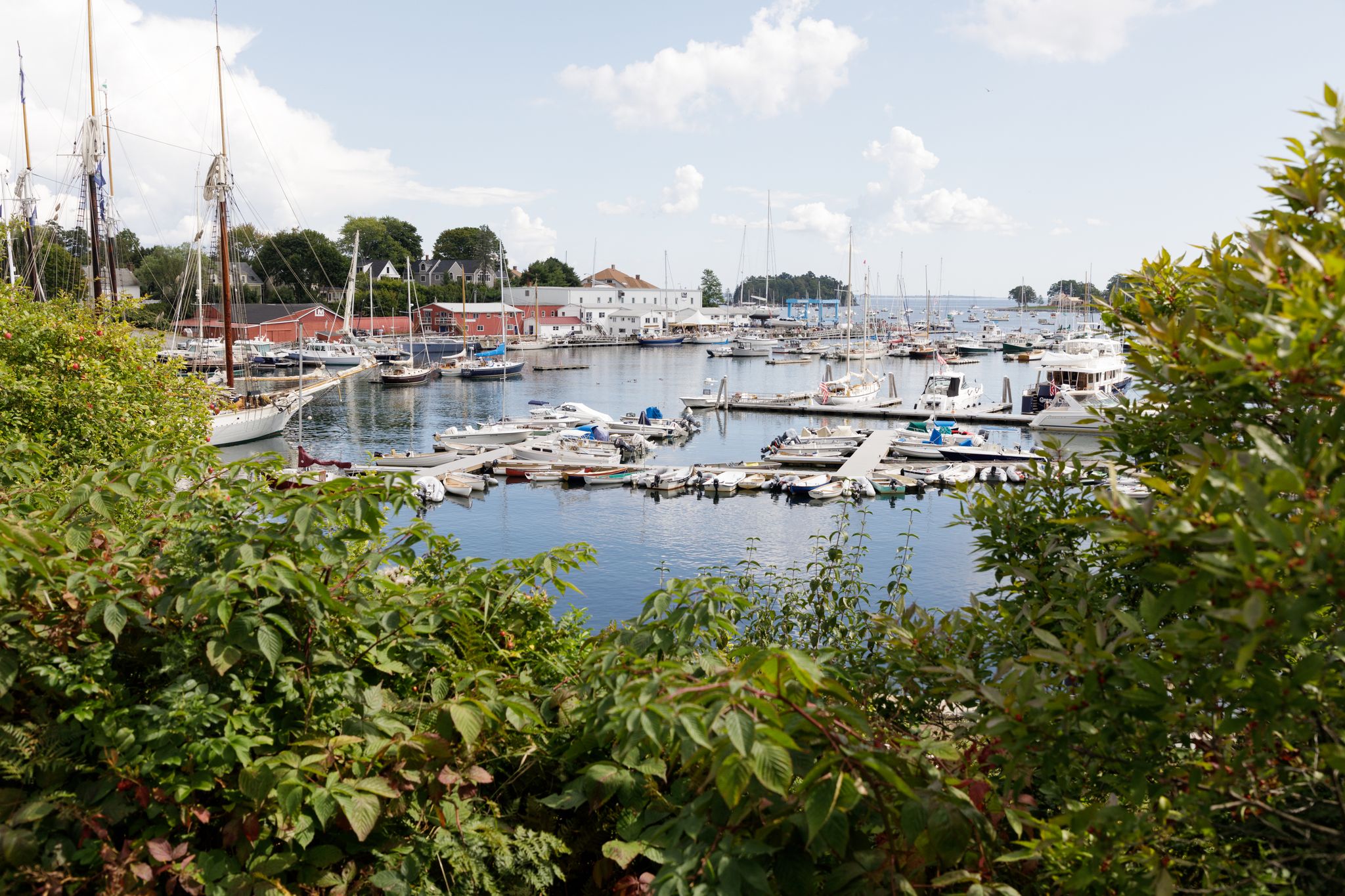
New England – vibrant cities, picturesque coastlines and wild mountain landscapes


커뮤니티 팁

Mount Pierce stands at 4,310 feet and is toward the southern end of the Presidential Range. From its summit, you get sweeping views north toward Mount Eisenhower and Mount Washington from a mix of alpine scrub and rocky ledges. Named after Franklin Pierce, the only U.S. president from New Hampshire, it’s a must stop if tagging all the peaks along on the Presidential Traverse, or those looking for a challenging day hike.
1
0
Lake of the Clouds Hut is the highest and one of the most iconic of the AMC’s backcountry huts. Perched at 5,012 feet between Mount Monroe and Mount Washington, it offers stunning alpine views, dramatic sunsets, and a front-row seat to the Presidential Range’s famously unpredictable weather. It's a great place to stop and refill water bottles or shelter from the weather on a day hike or an iconic (and popular!) place to spend the night. The hut is full-service during the summer and early fall, with bunk accommodations, family-style dinner and breakfast, potable water, and composting toilets. It sleeps over 90 hikers and is a popular overnight stop for those tackling the Presidential Traverse. Reservations are essential and fill quickly.
1
0

Nestled in the White Mountain National Forest, the Mizpah Spring Hut is a cozy stop for hikers exploring the Presidential Range. Offering bunk accommodations, hearty meals, and potable water, it’s a great place to rest and recharge while enjoying breathtaking views of the surrounding mountains. Whether you're tackling a challenging trail or looking for a serene overnight retreat, this Appalachian Mountain Club hut is a memorable part of any White Mountains adventure.
0
0

Washington is the most prominent mountain in the eastern U.S. and an absolutely incredible peak to bag. This is easily one of the best summits in New England. It is also the most dangerous if you come unprepared, especially in the winter. Washington creates its own rapidly changing weather system and is known for being the deadliest small mountain in the world. The second-fastest wind speed on earth was recorded here at over 230mph. That said, a quarter million people visit Washington every year, and if you come prepared and respect the mountain you have nothing to fear and are guaranteed to have an epic summit.
0
0

Dress warmly. Snow season begins July 1 and ends June 30. We were at 68 mph at the summit. Keeping your hat on is a good idea. Two days ago, when we were last up there, it was 73 degrees Fahrenheit and the wind was blowing lightly around 23 mph. Mt. Washington is the highest peak within 1,000 miles, making it an exposed location with what the US Weather Service calls the worst and most surprising weather in the world.
0
0


At a height of 6,288 feet in elevation, Mount Washington is the highest point in the range, state, and region. Some people drive to the summit, but there are a couple of days each year that you can bike the paved road to the top, which is a popular challenge for avid cyclists. A gravel bike can be handy since some of the road grades get so steep that you need that bigger cassette. The two events hosted each year for cyclists is the Mount Washington Auto Road Bicycle Hillclimb race each August and the Early Bird (which is just a solo ride for 150 riders) in July. There are places to refill your water, go to the restroom, lock up your bike, and even get a bike to eat if you need it at the top on race day. Note that all riders have to get a ride down the mountain and aren't allowed to bike down the road!
0
0
At a height of 6,288 feet in elevation, Mount Washington is the highest point in the range, state, and region. Some people drive to the summit, but there are a couple days each year that you can bike the paved road to the top, which is a popular challenge for avid cyclists. The two events hosted each year for cyclists is the Mount Washington Auto Road Bicycle Hillclimb race each August and the Early Bird (which is just a solo ride for 150 riders) in July. There are places to refill your water, go to the restroom, lock up your bike, and even get a bike to eat if you need it at the top on race day. Note that all riders have to get a ride down the mountain and aren't allowed to bike down the road!
0
0
자주 묻는 질문
쿠스 카운티에는 가족 친화적인 하이킹 트레일이 몇 개나 있나요?
쿠스 카운티는 매우 다양한 가족 친화적인 하이킹 기회를 제공합니다. 저희 가이드에는 거의 90개의 엄선된 코스가 있으며, 쉬운 산책부터 좀 더 적당한 모험까지 모든 가족에게 맞는 것이 있습니다.
쿠스 카운티에서 가족 하이킹 시 어떤 종류의 지형을 예상할 수 있나요?
쿠스 카운티의 가족 친화적인 트레일은 다양한 풍경을 자랑합니다. 극적인 해안 산책로와 바다 전망, 폭포로 이어지는 울창한 숲길, 독특한 강어귀 습지, 그리고 광활한 모래 언덕까지 모든 것을 기대할 수 있습니다. 지형은 잘 관리된 길부터 모래 구간, 자연적인 숲 바닥까지 다양합니다.
쿠스 카운티에 유모차에 적합한 트레일이 있나요?
쿠스 카운티의 많은 트레일은 자연적이며 모든 유모차에 이상적이지 않을 수 있지만, Shore Acres State Park의 일부 또는 Oregon Coast Trail의 접근 가능한 구간과 같은 주립 공원 내의 포장되거나 매우 잘 관리된 길은 적합할 수 있습니다. 출발하기 전에 항상 특정 트레일 상태를 확인하십시오.
쿠스 카운티에서 가족 하이킹 시 반려견과 함께 갈 수 있나요?
쿠스 카운티의 많은 트레일은 반려견 친화적이며, 특히 오리건 주립 공원 시스템 내에서는 반려견을 목줄에 묶어두는 조건으로 허용됩니다. 그러나 규정은 다를 수 있으므로, 항상 특정 공원 또는 트레일 규칙을 미리 확인하는 것이 가장 좋습니다. 예를 들어, Oregon Dunes National Recreation Area는 일반적으로 목줄을 맨 반려견을 환영합니다.
가족에게 좋은 폭포가 있는 하이킹 코스가 있나요?
물론입니다! Golden and Silver Falls State Natural Area는 폭포를 찾는 가족에게 환상적인 목적지입니다. 이곳에는 100피트가 넘는 두 개의 인상적인 폭포가 있으며, 울창한 해안 숲을 통과하는 비교적 쉽고 가족 친화적인 트레일을 통해 접근할 수 있습니다. 각 폭포로 이어지는 트레일이나 연결 경로를 선택할 수 있습니다.
쿠스 카운티에서 가족에게 좋은 순환 코스가 있나요?
주립 공원 내의 많은 트레일은 훌륭한 순환 옵션을 제공합니다. 예를 들어, Sunset Bay State Park, Shore Acres State Park, Cape Arago State Park를 오리건 해안 트레일을 따라 연결하는 트레일은 멋진 바다 전망과 야생 동물 관찰 기회를 제공하는 경치 좋은 루프로 결합될 수 있습니다.
가족 하이킹 시 쿠스 카운티에서 야생 동물을 어디에서 볼 수 있나요?
쿠스 카운티는 야생 동물이 풍부합니다. Cape Arago State Park는 Simpson Reef Overlook에서 물개와 바다사자를 볼 수 있는 기회를 제공합니다. South Slough National Estuarine Research Reserve는 습지 서식지에서 조류 관찰과 수달 및 물개를 관찰하기에 좋습니다. 해안을 따라 이동하는 동안에도 이동 시즌에는 고래를 볼 수도 있습니다.
가족 친화적인 트레일 вдоль에 흥미로운 랜드마크나 관심 지점이 있나요?
네, 쿠스 카운티에는 몇 가지 독특한 랜드마크가 있습니다. 해안을 따라가면 Shore Acres State Park의 아름답게 관리된 식물원과 Cape Arago State Park의 극적인 해안 전망을 볼 수 있습니다. 내륙으로 더 들어가면 Golden and Silver Falls State Natural Area의 우뚝 솟은 폭포가 자연적인 하이라이트입니다. 독특한 지질학적 특징에 관심이 있는 분들을 위해, Bandon에 있는 Face Rock State Park는 사람 얼굴을 닮은 해상 바위를 특징으로 합니다.
다른 하이커들이 쿠스 카운티에서 가족 친화적인 하이킹을 가장 즐기는 점은 무엇인가요?
이 지역은 komoot 커뮤니티에서 평균 4.6점의 높은 평가를 받고 있습니다. 리뷰어들은 종종 거친 해안선부터 고요한 숲, 독특한 모래 언덕에 이르기까지 놀라운 풍경의 다양성과 잘 관리된 트레일, 그리고 기억에 남는 가족 나들이를 위한 풍부한 야생 동물 관찰 기회를 칭찬합니다.
모래 언덕을 통과하는 하이킹과 같이 독특한 경험을 제공하는 트레일이 있나요?
진정으로 독특한 가족 모험을 위해 Oregon Dunes National Recreation Area로 가보세요. John Dellenback Dunes Trail은 최대 500피트까지 솟아오른 광활한 모래 언덕과 그 사이의 숲이 우거진 구간을 통과하며 다른 곳에서는 볼 수 없는 초현실적이고 다양한 풍경을 만들어내는 특별한 경험을 제공합니다.
가족 하이킹 시 트레일 시작 지점에 주차 공간이 충분한가요?
쿠스 카운티의 대부분의 주립 공원과 인기 있는 트레일 시작 지점(예: Cape Arago State Park, Shore Acres State Park, Golden and Silver Falls State Natural Area)에는 지정된 주차 공간이 있습니다. 일부는 주차 허가증(예: 오리건 주립 공원 일일 이용권)이 필요할 수 있으므로, 특히 성수기에는 미리 확인하는 것이 좋습니다.
쿠스 카운티에서에서 가장 인기 있는 명소


찾고 계신 것을 찾지 못하셨나요?
쿠스 카운티에서에서 더 많은 하이킹를 확인하고 목적지에서 완벽한 경로를 찾아보세요.
