러틀랜드 카운티 주변 최고의 가족 하이킹 & 워킹 코스
4.8
(36)
630
등산객
13
하이킹
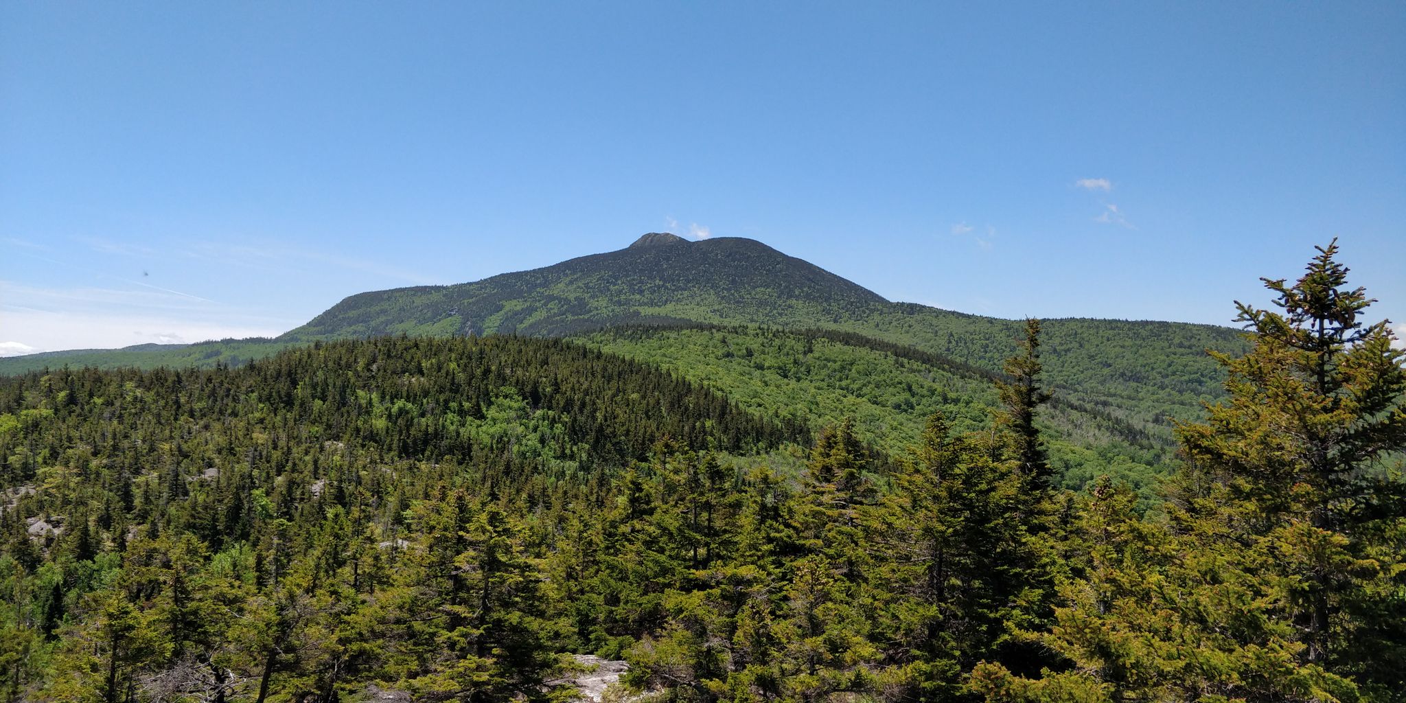
Rutland 카운티의 가족 친화적인 하이킹 트레일은 버몬트의 그린 마운틴 내 다양한 풍경을 가로지르며, 그린 마운틴 국립 산림 지역의 일부를 포함합니다. 이 지역은 울창한 산비탈, 눈에 띄는 봉우리, 자연적인 수역이 특징입니다. 하이커들은 오래된 숲, 폭포, 독특한 지질학적 특징이 있는 지역을 탐험할 수 있으며, 야외 활동을 위한 다양한 지형을 제공합니다.
Rutland 카운티 최고의 가족 친화적인 하이킹 트레일
- 가장 인기 있는 가족 친화적인 하이킹 경로는 Deer Leap Rock via Appalachian Trail and Deer Leap Trail로, 3.5km(2.2마일) 길이의 트레일이며 완료하는 데 1시간 16분이…
마지막 업데이트: 8월 31, 2026
2
등산객
6.91km
01:54
130m
110m
Embark on the Pesky Cairn Trail, an easy hike covering 4.3 miles (6.9 km) with a gentle ascent of 418 feet (127 metres). You can expect to complete this route…
2
등산객
3.53km
01:16
300m
40m
Embark on a moderate hike to Deer Leap Rock, a rewarding journey that covers 2.2 miles (3.5 km) with an elevation gain of 995 feet (303 metres). You can expect…

무료 회원 가입
515km
168:28
21,190m
21,240m
Hike the difficult 320.2-mile Long Trail through Vermont's Green Mountain National Forest, gaining 69530 feet in elevation.
3
등산객
9.37km
02:36
170m
170m
Hike the moderate 5.8-mile Pine Hill Park loop in Rutland, VT, featuring forests, vistas, and Rocky Pond, with 562 feet of gain.
4.0
(1)
4
등산객
2.14km
00:37
60m
60m
Hike the easy 1.3-mile Kent Brook Trail loop in Gifford Woods State Park, traversing a dense hardwood forest along Kent Brook.
더 다양한 경로와 다른 탐험가들의 추천을 살펴보세요.
무료 회원 가입
이미 komoot 계정이 있나요?
투어 추천은 다른 사람들이 komoot에서 완료한 수천 개의 활동을 바탕으로 구성되어 있습니다.
오늘 무료 계정으로 시작하세요
다음 모험이 기다리고 있어요.
로그인 또는 가입하기


러틀랜드 카운티의 다른 모험

커뮤니티 팁

This is a great family-friendly spot, and only one mile from the parking lot via trail. A knob of smooth Vermont bedrock rises over Route 4, granting panoramic views south to Mount Killington and the surrounding peaks. Great spot for a picnic!
0
0

Stratton Mountain is one of the most iconic peaks on the Long Trail, but not for its height, but rather for its historical significance. It was here in 1909 that James P. Taylor first imagined a “footpath in the wilderness,” which eventually became the Long Trail. The summit is forested, but a restored fire tower (that you can climb!) offers expansive 360-degree views of southern Vermont and the surrounding peaks. Today, Stratton is also home to a major ski resort, but the Long Trail bypasses the commercial slopes, staying on a quieter, wooded path. A nearby shelter, Stratton Pond Shelter, provides a peaceful overnight spot, just a short hike from the summit. This is a pretty built-up shelter (especially in comparison to the more common, simple three-sided lean-tos) so it's worth checking out even if you're not spending the night.
1
0
The Long Trail, the oldest long-distance hiking trail in the United States, begins at the Massachusetts–Vermont border near Williamstown, MA. This southern terminus is marked by a large wooden sign and lies at the junction where the Appalachian Trail (AT) continues and the Long Trail (LT) begins. The first 105 miles of the LT coincide with the AT before the two trails split at Maine Junction near Killington, VT. There are two primary approaches to reach the southern terminus: Via the Appalachian Trail from North Adams, MA: This route is approximately 3.8 miles and begins at Route 2 in North Adams, or via the Pine Cobble Trail from Williamstown, MA: This 3.3-mile trail starts at Pine Cobble Road in Williamstown and offers a scenic ascent to the LT's starting point. Both approaches take hikers to the VT/MA border, where the Long Trail officially begins its 272-mile journey northward through Vermont's Green Mountains to the Canadian border.
0
0

The Kent Brook Trail is a straightforward loop trail that takes you through a beautiful part of Gifford Woods State Park. The Appalachian Trail cuts through the middle of the loop.
0
0

Gifford Woods State Park is a popular destination for outdoor enthusiasts and Appalachian Trail through-hikers. The park has a wooded picnic area, two camping loops with water and restrooms, and one of Vermont's few remaining old-growth hardwood tree stands. The stand is home to grand-sized trees like sugar maple, beech, yellow birch, white ash, and hemlock, and the park's understory is rich with beautiful native wildflowers.
0
0
Gifford Woods State Park is a popular destination for outdoor enthusiasts and Appalachian Trail through-hikers. The park has a wooded picnic area, two camping loops with water and restrooms, and one of Vermont's few remaining old-growth hardwood tree stands. The stand is home to grand-sized trees like sugar maple, beech, yellow birch, white ash, and hemlock, and the park's understory is rich with beautiful native wildflowers.
0
0

Spanning 325 acres, this haven boasts 17 miles (ca. 27 km) of top-notch single-track trails. Ideal for mountain biking, and other outdoor sports in central Vermont. Explore old logging roads amid stunning forests and scenic vistas.
0
0
Traverse Giorgetti to the park boundary near Rocky Pond on a singletrack, to avoid the eroded old pond road. You will be inspired to explore the great views, especially at Stegosaurus entrance overlooking the pond.
0
0
자주 묻는 질문
러트랜드 카운티에는 가족 친화적인 하이킹 트레일이 몇 개나 있나요?
러트랜드 카운티는 훌륭한 가족 친화적인 하이킹 옵션을 제공합니다. 이 가이드에는 13개의 엄선된 코스가 있으며, 쉬움 4개, 보통 7개의 트레일이 있어 모든 가족의 편안함 수준에 맞는 것이 있습니다.
러트랜드 카운티에서 가족 하이킹을 하기에 가장 좋은 시기는 언제인가요?
러트랜드 카운티의 주요 하이킹 시즌은 늦봄부터 가을까지입니다. 여름에는 울창한 녹색 숲을 즐길 수 있고, 가을에는 화려한 단풍을 감상할 수 있으며, 보통 10월 초중순에 절정을 이룹니다. 적절한 장비를 갖추면 겨울 하이킹도 가능하며 독특한 경험을 선사합니다.
러트랜드 카운티에 가족에게 적합한 쉬운 순환 코스가 있나요?
네, 쉬운 루프를 찾는 가족에게는 파인 힐 공원 루프가 환상적인 선택입니다. 이 9.4km의 보통 난이도 트레일은 325에이커 규모의 도시 공원 내에서 다양한 지형을 제공하며, 하이킹과 트레일 러닝을 위한 지역 명소입니다.
러트랜드 카운티의 가족 친화적인 트레일에 대해 다른 하이커들은 어떻게 말하나요?
러트랜드 카운티의 가족 친화적인 트레일은 코무트 커뮤니티로부터 높은 평가를 받고 있으며, 38개의 평가에서 평균 4.8점의 점수를 받았습니다. 하이커들은 종종 다양한 풍경, 잘 관리된 길, 그리고 많은 코스에서 볼 수 있는 보람 있는 경치를 칭찬합니다.
러트랜드 카운티에 폭포가 있는 가족 친화적인 트레일이 있나요?
이 가이드의 코스에 직접적으로 있지는 않지만, 러트랜드 카운티는 썬더링 브룩 폭포와 같은 접근하기 쉬운 폭포로 유명합니다. 이들은 종종 짧고 보드워크로 접근 가능한 산책로로, 가족 나들이에 자연의 경이로움을 보기에 완벽합니다.
러트랜드 카운티의 가족 친화적인 트레일 중 최고의 전망을 제공하는 곳은 어디인가요?
보람 있는 전망을 위해서는 애팔래치아 트레일 및 디어 리프 트레일을 통한 디어 리프 록을 고려해 보세요. 이 보통 난이도의 코스는 디어 리프 전망대로 이어지며, 극심한 오르막 없이 환상적인 파노라마 전망을 제공합니다. 에이켄 주립 산림의 발드 산 트레일 또한 그린 마운틴 산맥과 주변 계곡의 파노라마 전망을 제공합니다.
이 가족 친화적인 코스 주변에 흥미로운 자연 명소나 볼거리가 있나요?
물론입니다! 많은 트레일은 아름다운 자연의 특징에 접근할 수 있습니다. 예를 들어, 애팔래치아 트레일 및 디어 리프 트레일을 통한 디어 리프 록은 멋진 디어 리프 전망대로 이어집니다. 또한 쉬운 길을 통해 도달할 수 있는 아름다운 호수인 리틀 록 연못과 같은 고요한 장소도 찾을 수 있습니다.
러트랜드 카운티의 가족 친화적인 트레일이 유모차에 적합한가요?
러트랜드 카운티의 많은 트레일은 자연적인 길이지만, 일부 지역은 더 접근하기 쉬운 옵션을 제공합니다. 예를 들어, 스톤 메도우 공원은 초원을 가로지르는 접근 가능한 산책로를 제공합니다. 특정 유모차 적합성에 대해서는 표면 유형과 고도 변화에 대한 개별 코스 설명을 확인하는 것이 항상 가장 좋습니다.
러트랜드 카운티의 가족 친화적인 하이킹 트레일에 개를 데려갈 수 있나요?
일반적으로 러트랜드 카운티의 트레일, 특히 그린 마운틴 국유림 내에서는 개를 환영하지만, 목줄을 착용하고 '흔적 남기지 않기' 원칙을 실천해야 합니다. 일부 지역에는 제한이 있을 수 있으므로 출발하기 전에 항상 특정 공원 또는 트레일 규정을 확인하십시오.
초보자나 어린 자녀에게 특히 좋은 가족 친화적인 트레일이 있나요?
초보자나 어린 자녀가 있는 가족에게는 페스키 카른 트레일이 훌륭한 선택입니다. 최소한의 고도 상승으로 6.9km의 쉬운 코스이며 매우 관리하기 쉽습니다. 또 다른 쉬운 옵션은 2.1km로 더 짧고 완만한 경사를 특징으로 하는 켄트 브룩 트레일입니다.
이 가족 친화적인 트레일의 주차는 어디서 찾을 수 있나요?
러트랜드 카운티의 대부분의 트레일 시작 지점, 특히 그린 마운틴 국유림이나 주립 공원으로 이어지는 곳에는 지정된 주차 공간이 있습니다. 예를 들어, 파인 힐 공원에는 자체 주차 시설이 있습니다. 특정 코스의 경우, 주차 가능 여부에 대한 세부 정보는 일반적으로 코스 설명에 제공됩니다.
유명한 롱 트레일 또는 애팔래치아 트레일의 일부인 가족 친화적인 트레일이 있나요?
네, 롱 트레일과 애팔래치아 트레일 모두 러트랜드 카운티를 통과하며 당일치기 하이킹을 위한 광범위한 기회를 제공합니다. 애팔래치아 트레일 및 디어 리프 트레일을 통한 디어 리프 록은 애팔래치아 트레일의 일부를 이용하는 보통 난이도의 코스로, 이 상징적인 길을 맛볼 수 있습니다.
러틀랜드 카운티에서 가장 인기 있는 명소


찾고 계신 것을 찾지 못하셨나요?
러틀랜드 카운티에서 더 많은 하이킹를 확인하고 목적지에서 완벽한 경로를 찾아보세요.
더 살펴보기
다른 지역의 최고의 하이킹를 살펴보세요.
