알카리아 알타 주변 최고의 버스 정류장 출발 하이킹 & 워킹 코스
4.6
(173)
1,237
등산객
10
하이킹
알카르리아 알타(Alcarria Alta) 지역의 버스 정류장 하이킹 코스는 스페인 과달라하라(Guadalajara) 중심부의 다양한 풍경을 가로지릅니다. 이 지역은 강 계곡, 석회암 지형, 지중해 숲을 특징으로 하며 하이커들에게 다양한 지형을 제공합니다. 협곡과 강 전망이 특징인 알토 타호 자연공원(Alto Tajo Natural Park) 일부를 포함합니다. 고도는 강바닥부터 시에라 데 알토미라(Sierra de Altomira)의 1,300미터가 넘는 봉우리까지 다양합니다.
알카르리아 알타(Alcarria Alta) 지역 최고의 버스 정류장 하이킹 코스
- 가장 인기 있는 버스 정류장 하이킹 코스는 비아나 트레일(Viana Trail)로, 12.5km(7.8마일) 길이이며 완료하는 데 4시간 11분이 걸립니다. 이 어려운…
마지막 업데이트: 10월 10, 2026
5.0
(2)
22
등산객
12.5km
04:11
370m
370m
Hike the difficult 7.8-mile Tetas de Viana circular route from Trillo, gaining 1210 feet for panoramic views from La Redonda (1,144 m).
5.0
(1)
5
등산객
12.0km
03:15
160m
160m
보통 하이킹. 좋은 체력 필요. 실력과 관계없이 누구나 쉽게 갈 수 있는 길.

1
등산객
23.4km
06:40
530m
530m
Hike the difficult 14.6-mile Hundido de Armallones circular route in Alto Tajo Natural Park, gaining 1736 feet over 6 hours and 40 minutes.
17
등산객
15.5km
05:03
440m
450m
어려운 하이킹. 우수한 체력 필요. 튼튼한 신발을 신고 미끄러지지 않게 조심해야 하며, 높은 산을 오른 경험이 있어야 함.
5.0
(4)
10
등산객
8.92km
02:35
170m
170m
보통 하이킹. 좋은 체력 필요. 대부분 갈 수 있는 길. 미끄러지지 않게 조심해야 함.
더 다양한 경로와 다른 탐험가들의 추천을 살펴보세요.
이미 komoot 계정이 있나요?
투어 추천은 다른 사람들이 komoot에서 완료한 수천 개의 활동을 바탕으로 구성되어 있습니다.

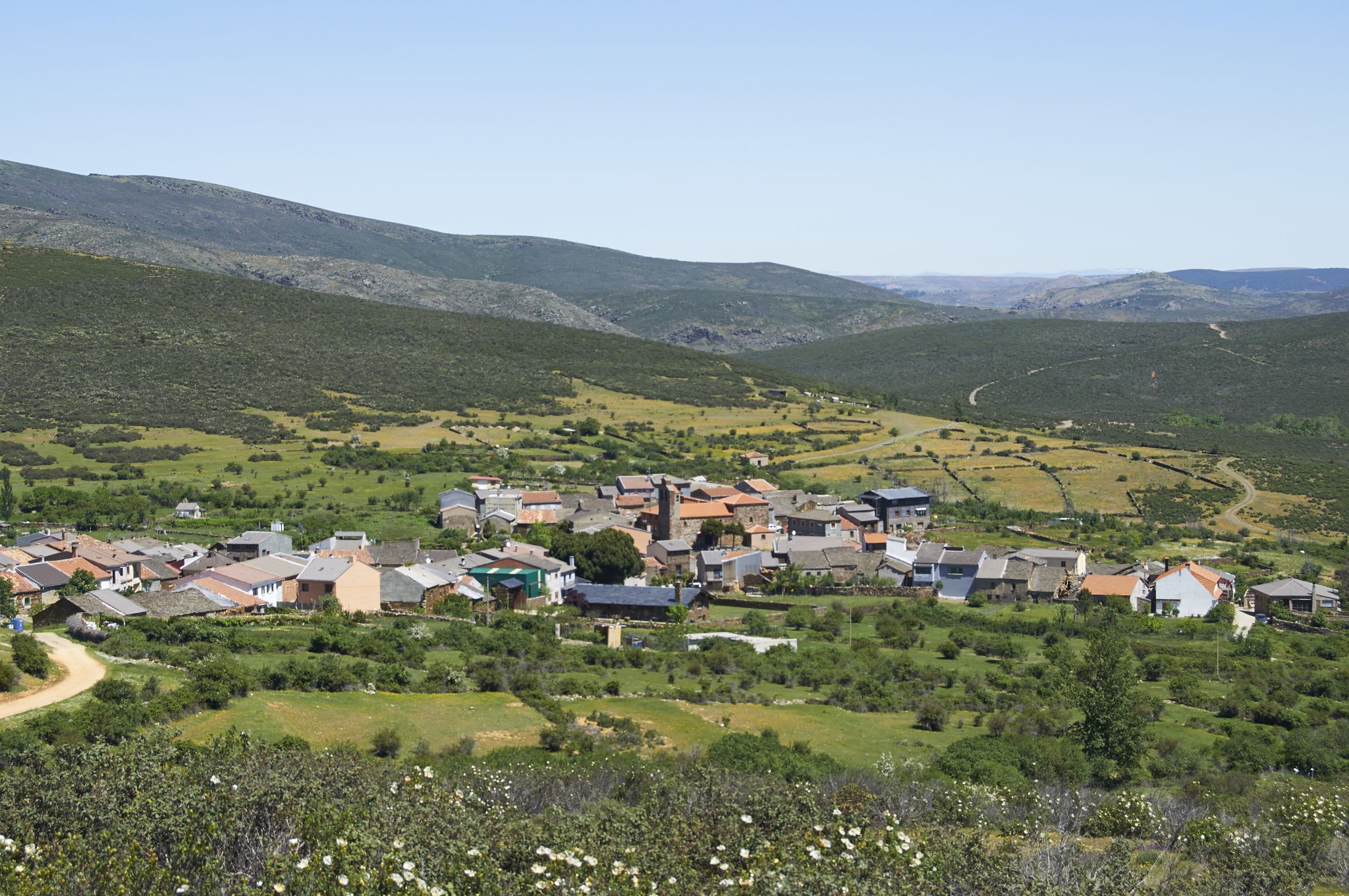
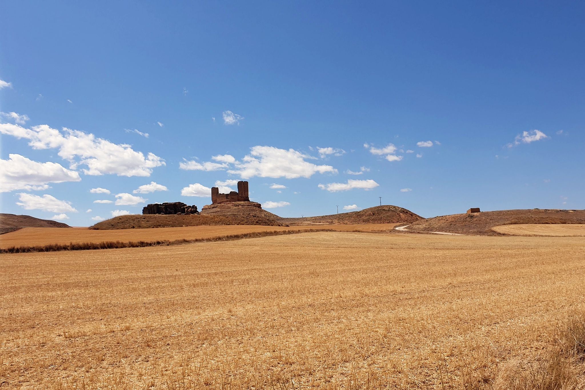
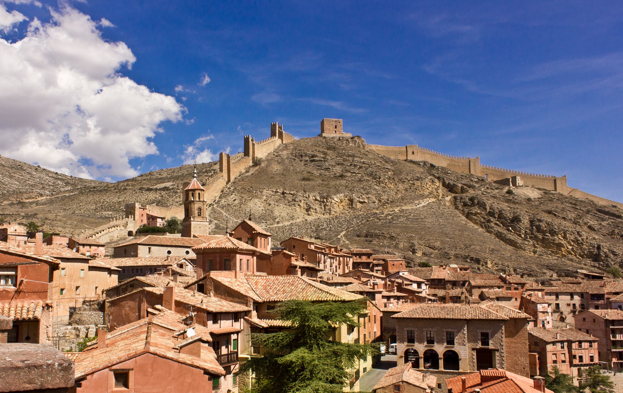
알카리아 알타 주변의 다른 모험


커뮤니티 팁

A curious place where the collapse of the side cliffs, as a consequence of the Lisbon earthquake, closed the Tagus River for several days, interrupting the flow of water. Today, there are still a large number of huge rocks at the bottom of the Tagus. It is worth visiting.
0
0
Beauty concentrated in the color purple.
0
0
An elevated place with splendid landscapes throughout its surroundings. It is worth visiting.
0
0

The entrance to the summit is spectacular, it is the geographical ceiling of the Alcarria and the views are magnificent, practically the entire Alcarria Alta, the Serranía de Guadalajara, the Sierra de Ayllón, the popular Ocejón and the Sierra de Guadarrama. And the towns of Viana de Mondéjar and La Puerta from a bird's eye view. The summit plain has a circular path around the summit that may be covered in grass, although it can be seen in the terrain. A good vantage point is the north side, with views of the Elongated Tit. Around the perimeter there are some wooden sticks that can be confused with trail signs. In reality, they indicate the limit of the danger zone. To avoid approaching the cliffs, the path runs a few meters inside.
0
0
Trillo is a stately town in Alcarria de Guadalajara on the banks of the Tagus River that has become a center for active tourism and adventure sports. It has a spa, a beautiful medieval bridge, ancestral houses of the old rural bourgeoisie, pleasant river walks and several waterfalls in the center of the urban complex created by the torrent of the Cifuentes River. And it is a stage of the Camino de Santiago of the Ruta de la Lana and in one of the houses there is a plaque remembering where Camilo José Cela stayed during his famous Trip to Alcarria. In the surrounding area there are different types of signposted mountain biking and hiking routes, one of the most popular mountain walks is the local SL-1 Tetas de Viana trail, marked with green and white signs. The route begins at the Gothic bridge of the Tagus River and goes up the Camino de Viana street to the motocross circuit facilities, a good slope to warm up and enter the hills of Mediterranean forest that direct the meanders of the Tagus River towards the lake. of the Entrepeñas reservoir.
0
0
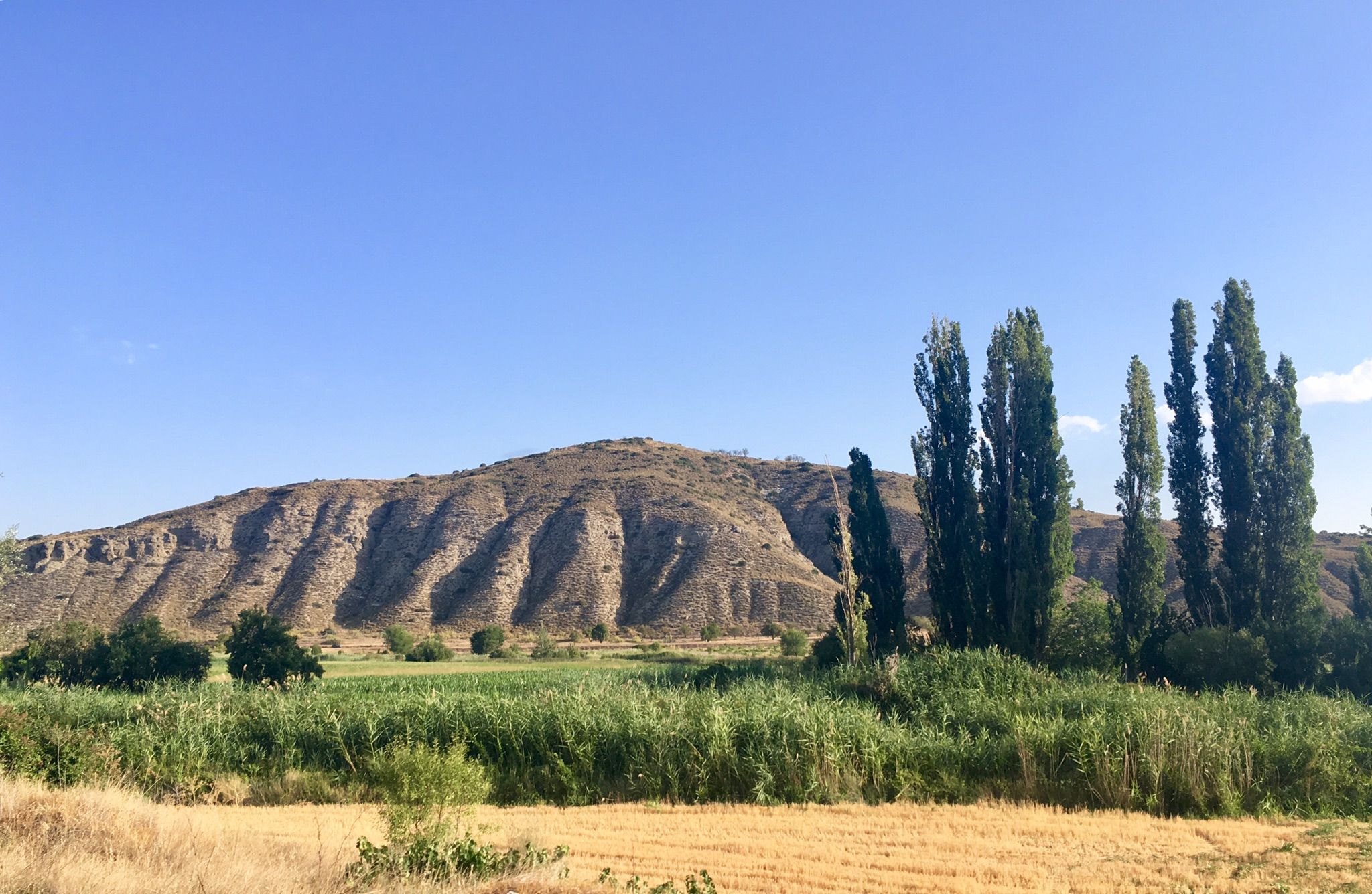
The Tetas de Viana constitute an extraordinary place from a defensive point of view, which is why they have been inhabited since ancient times. At present they constitute a spectacular viewpoint of the surrounding landscape. From them you can see the beautiful surrounding towns, Trillo, Viana de Mondejar, and La Puerta (at the entrance to Rocas Castle).
0
0

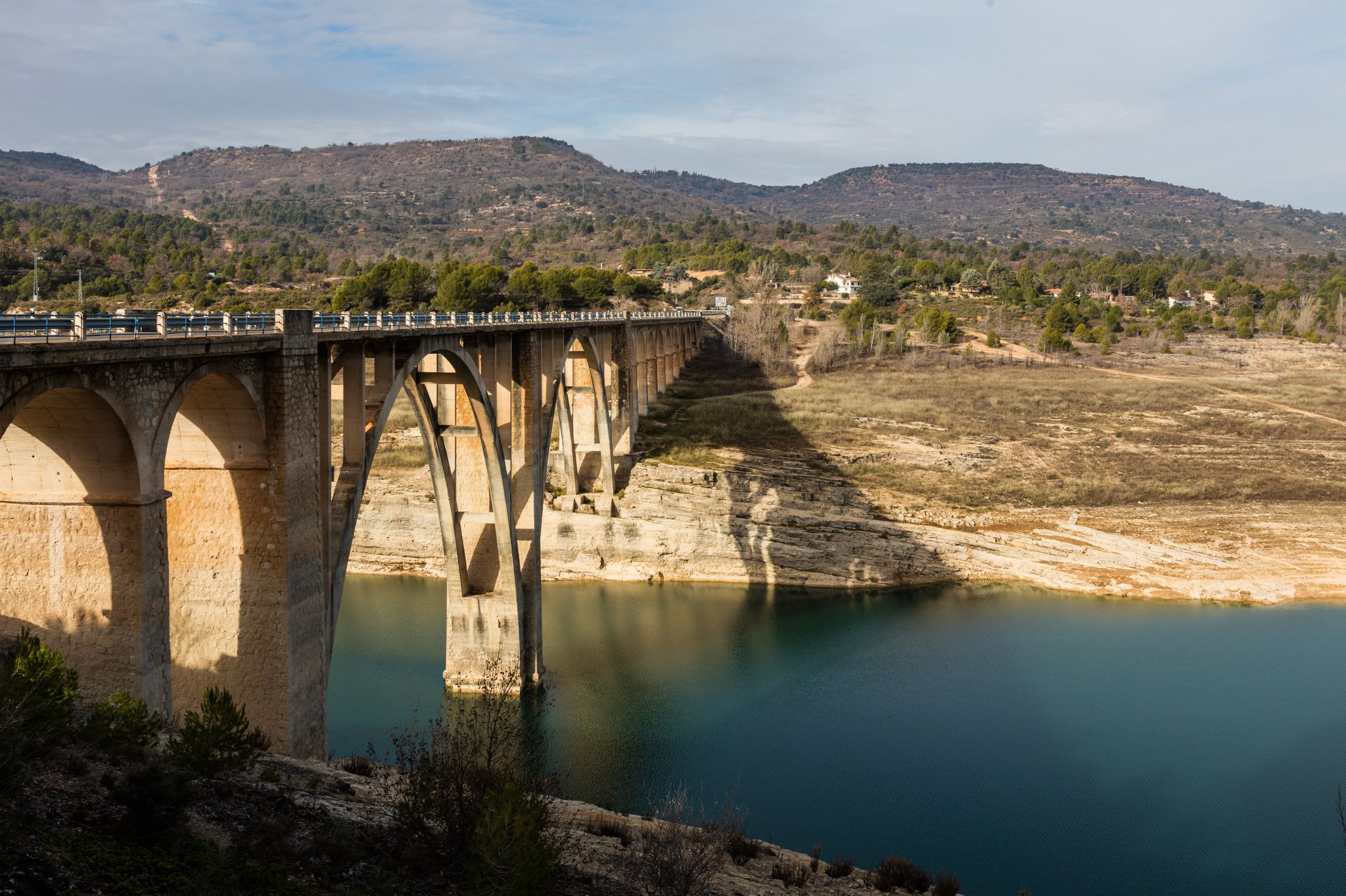
the bridge over the Tagus when it is still a modest river at its junction with the Cifuentes River
0
0

The bridge is of medieval origin and already in the 16th century it attracted attention for having only one eye, very firm and of great beauty.
10
0
자주 묻는 질문
알카리아 알타에는 버스 정류장 하이킹 트레일이 몇 개 있나요?
이 가이드에는 알카리아 알타의 전용 버스 정류장 하이킹 트레일 7개가 소개되어 있습니다. 이 중에는 3개의 보통 난이도와 4개의 어려운 코스가 포함되어 있어 다양한 체력 수준에 맞는 옵션을 제공합니다.
알카리아 알타에서 버스 정류장을 이용해 하이킹하기 가장 좋은 시기는 언제인가요?
봄과 가을은 일반적으로 온화한 기온으로 가장 쾌적한 하이킹 조건을 제공합니다. 브리후에가 주변의 유명한 라벤더 밭을 경험하고 싶다면 7월에 방문하여 만개한 모습을 감상하세요. 겨울 하이킹도 가능하지만, 특히 고지대에서는 서늘한 기온과 잠재적으로 습한 날씨에 대비해야 합니다.
알카리아 알타의 버스 접근 가능한 트레일에 대해 다른 하이커들은 어떻게 말하나요?
알카리아 알타의 버스 접근 가능한 트레일은 komoot 커뮤니티에서 높은 평가를 받고 있으며, 120개 이상의 리뷰에서 평균 5점 만점에 4.6점을 받았습니다. 하이커들은 강 계곡부터 탁 트인 전망대까지 다양한 풍경과 대중교통을 통해 이러한 코스에 쉽게 접근할 수 있다는 점을 자주 칭찬합니다.
알카리아 알타에는 초보자를 위한 쉬운 버스 접근 가능한 하이킹 코스가 있나요?
이 가이드에는 주로 보통에서 어려운 코스가 소개되어 있지만, 이 지역은 다양한 수준에 적합한 트레일을 제공합니다. 보통 난이도의 옵션으로는 트릴로에서 출발하는 트릴로 폭포 루프를 고려해 볼 수 있습니다. 이 코스는 길이가 8.8km이며 약 2.5시간이 소요됩니다. 또 다른 보통 난이도의 선택지는 라 알카리아 정원 — 브리후에가 라벤더 밭을 통과하는 순환 코스로, 12km 길이이며 멋진 풍경을 제공합니다.
알카리아 알타에서 버스 접근 가능한 폭포가 있는 트레일을 찾을 수 있나요?
네, 이 지역에는 아름다운 물줄기가 있습니다. 시푸엔테스 강 폭포 – 트릴로 폭포 루프를 따라 시푸엔테스 강의 폭포를 탐험할 수 있습니다. 이 도전적인 15.5km 코스는 폭포와 주변 자연의 아름다움을 인상적으로 감상할 수 있습니다.
유명한 라벤더 밭을 지나는 버스 접근 가능한 트레일이 있나요?
물론입니다! 라 알카리아 정원 — 브리후에가 라벤더 밭을 통과하는 순환 코스는 이 상징적인 밭을 통과하도록 특별히 설계된 보통 난이도의 12km 코스입니다. 라벤더가 만개하는 7월에 방문하는 것이 가장 좋습니다. 또한 이 지역의 하이라이트로 브리후에가의 라벤더 밭과 아랍 동굴을 찾을 수 있습니다.
알카리아 알타의 버스 접근 가능한 하이킹에서 어떤 종류의 자연 풍경을 기대할 수 있나요?
알카리아 알타는 다양한 자연 풍경을 제공합니다. 타호 강과 타후냐 강의 인상적인 강 계곡과 협곡을 만나게 되며, 여기에는 타후냐 강 협곡도 포함됩니다. 많은 트레일이 잘 보존된 지중해 숲을 통과하며, 독특한 석회암 지형과 동굴도 찾을 수 있습니다. 이 지역은 풍부한 생물 다양성과 지질학적 다양성으로 유명한 알토 타호 자연 공원과 접해 있습니다.
버스 정류장에서 접근 가능한 하이킹 코스에서 역사적 또는 문화적 명소를 볼 수 있나요?
네, 알카리아 알타는 역사적으로 풍부합니다. 하이킹을 하면서 고대 동굴, 성터, 전통 마을을 만날 수 있습니다. 예를 들어, 독특한 시비카 암석 거주지와 폭포는 매혹적인 볼거리입니다. 이 지역은 또한 역사적인 카미노 델 시드(Camino del Cid)의 일부로, 중세 스페인의 모습을 엿볼 수 있습니다.
알카리아 알타의 버스 접근 가능한 트레일은 가족에게 적합한가요?
일부 버스 접근 가능한 트레일은 가족에게 적합할 수 있으며, 특히 보통 거리와 적은 고도 상승을 찾는 가족에게 좋습니다. 트릴로에서 출발하는 트릴로 폭포 루프(8.8km)는 하이킹에 익숙한 나이 있는 자녀가 있는 가족에게 좋은 선택입니다. 아이들과 함께 출발하기 전에 항상 코스의 거리와 난이도를 확인하세요.
알카리아 알타의 버스 접근 가능한 트레일은 개와 함께 갈 수 있나요?
일반적으로 알카리아 알타의 대부분의 하이킹 트레일, 특히 시골 및 자연 지역에서는 개를 환영합니다. 그러나 야생 동물을 보호하고 다른 하이커의 안전을 보장하기 위해 알토 타호와 같은 자연 공원에서는 항상 개를 목줄에 매는 것이 좋습니다. 현지 규정을 준수하고 애완동물의 배설물을 치우는 것을 잊지 마세요.
알카리아 알타의 버스 접근 가능한 하이킹에서 전망대를 어디에서 찾을 수 있나요?
알카리아 알타의 많은 트레일은 멋진 전망을 제공합니다. 해발 1,300미터가 넘는 봉우리가 있는 시에라 데 알토미라(Sierra de Altomira)는 이 지역의 놀라운 360도 전망을 제공합니다. 어려운 12.5km 코스인 비아나 트레일은 독특한 테타스 데 비아나(Tetas de Viana)로 이어지며 정상에서 멋진 파노라마 전망을 제공합니다.
버스 접근 가능한 하이킹 트레일 근처에 식당이나 숙박 시설이 있나요?
네, 트릴로와 브리후에가와 같이 이러한 버스 접근 가능한 하이킹의 출발점이 되는 많은 마을에는 현지 식당, 카페 및 숙박 시설이 있습니다. 특히 성수기에는 미리 확인하여 이용 가능 여부를 확인하는 것이 좋습니다.


