헤이투이센 주변 최고의 교통량 없는 자전거 라이딩 코스
4.4
(233)
2,180
자전거 타는 사람
69
라이딩
헤이튀선 주변의 교통량이 적은 사이클링 루트는 네덜란드 림뷔르흐 주의 다양한 풍경을 가로지릅니다. 이 지역은 호수와 운하로 이루어진 광대한 마스플라센(Maasplassen)과 구불구불한 퉁얼로이스(Tungelroyse) 개울이 특징인 고요한 르달 자연 보호 구역(Leudal Nature Reserve)을 포함합니다. 완만한 구릉 지대는 다양한 지형을 제공하며, 넓은 차량 통행 없는 자전거 도로는 접근하기 쉬운 사이클링 경험을 선사합니다. 이 지역은 번잡한 도로에서 벗어난 루트를 찾는 사이클링 여행객에게 적합합니다.
헤이튀선 주변 최고의 교통량 적은 사이클링 루트
- 가장 인기 있는 교통량이 적은 사이클링 루트는 2시간 30분이 소요되는 42.5km(26.4마일) 길이의 켈펜-올러(Kelpen-Oler) 출발 웨이사이드…
마지막 업데이트: 8월 30, 2026
4.7
(9)
100
자전거 타는 사람
42.5km
02:30
80m
80m
보통 자전거 타기. 좋은 체력 필요. 대부분 포장된 지면. 실력과 관계없이 누구나 갈 수 있음.
5.0
(9)
98
자전거 타는 사람
48.6km
02:53
90m
90m
보통 자전거 타기. 좋은 체력 필요. 대부분 포장된 지면. 실력과 관계없이 누구나 갈 수 있음.

4.9
(9)
34
자전거 타는 사람
31.4km
01:56
40m
40m
초급용 자전거 라이딩. 모든 체력 수준에 적합. 대부분 포장된 지면. 실력과 관계없이 누구나 갈 수 있음.
5.0
(3)
29
자전거 타는 사람
49.1km
02:51
110m
110m
보통 자전거 타기. 좋은 체력 필요. 대부분 포장된 지면. 실력과 관계없이 누구나 갈 수 있음.
5.0
(1)
33
자전거 타는 사람
13.3km
00:47
20m
20m
초급용 자전거 라이딩. 모든 체력 수준에 적합. 대부분 포장된 지면. 실력과 관계없이 누구나 갈 수 있음.
더 다양한 경로와 다른 탐험가들의 추천을 살펴보세요.
이미 komoot 계정이 있나요?
투어 추천은 다른 사람들이 komoot에서 완료한 수천 개의 활동을 바탕으로 구성되어 있습니다.
오늘 무료 계정으로 시작하세요
다음 모험이 기다리고 있어요.
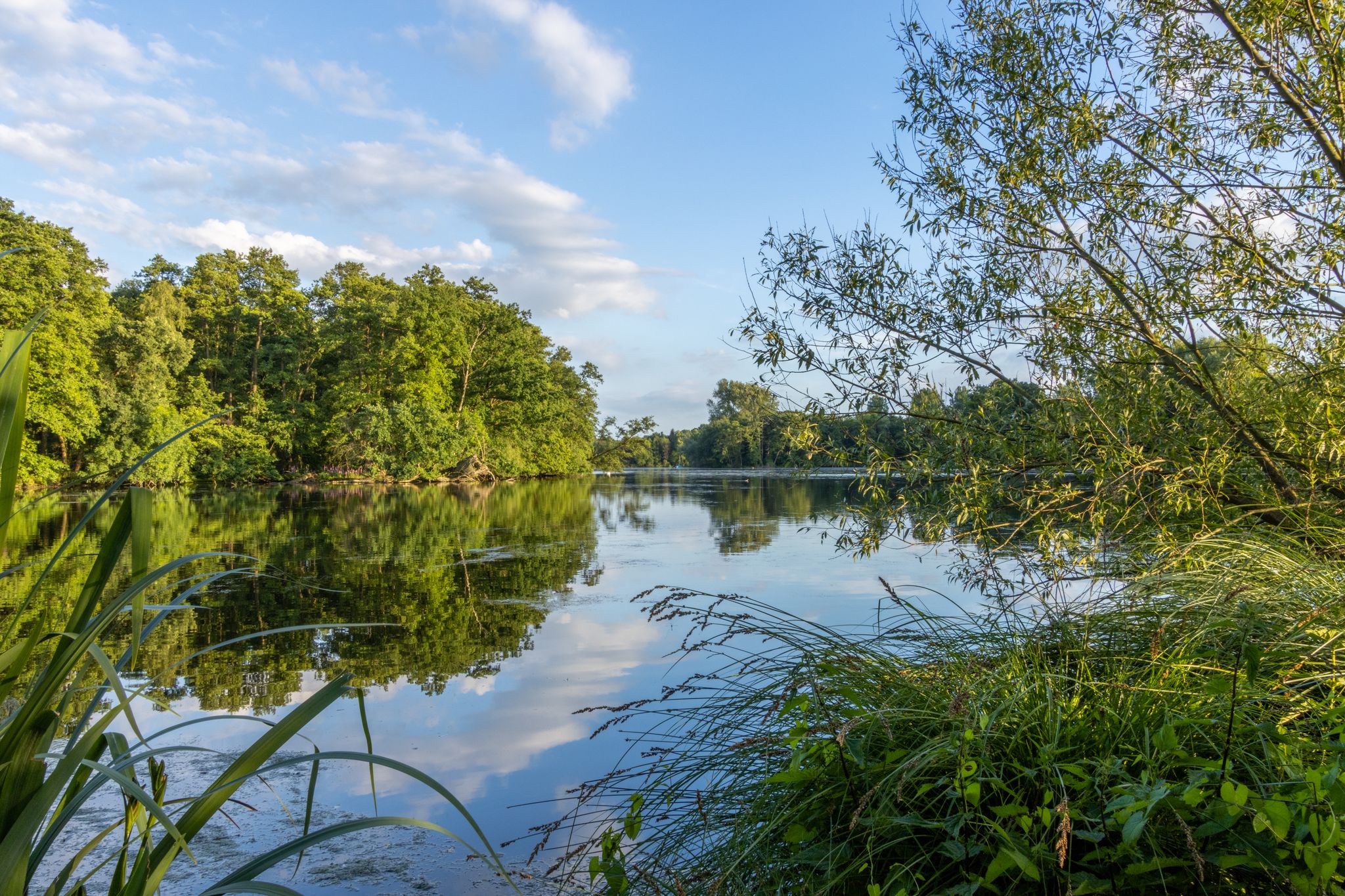
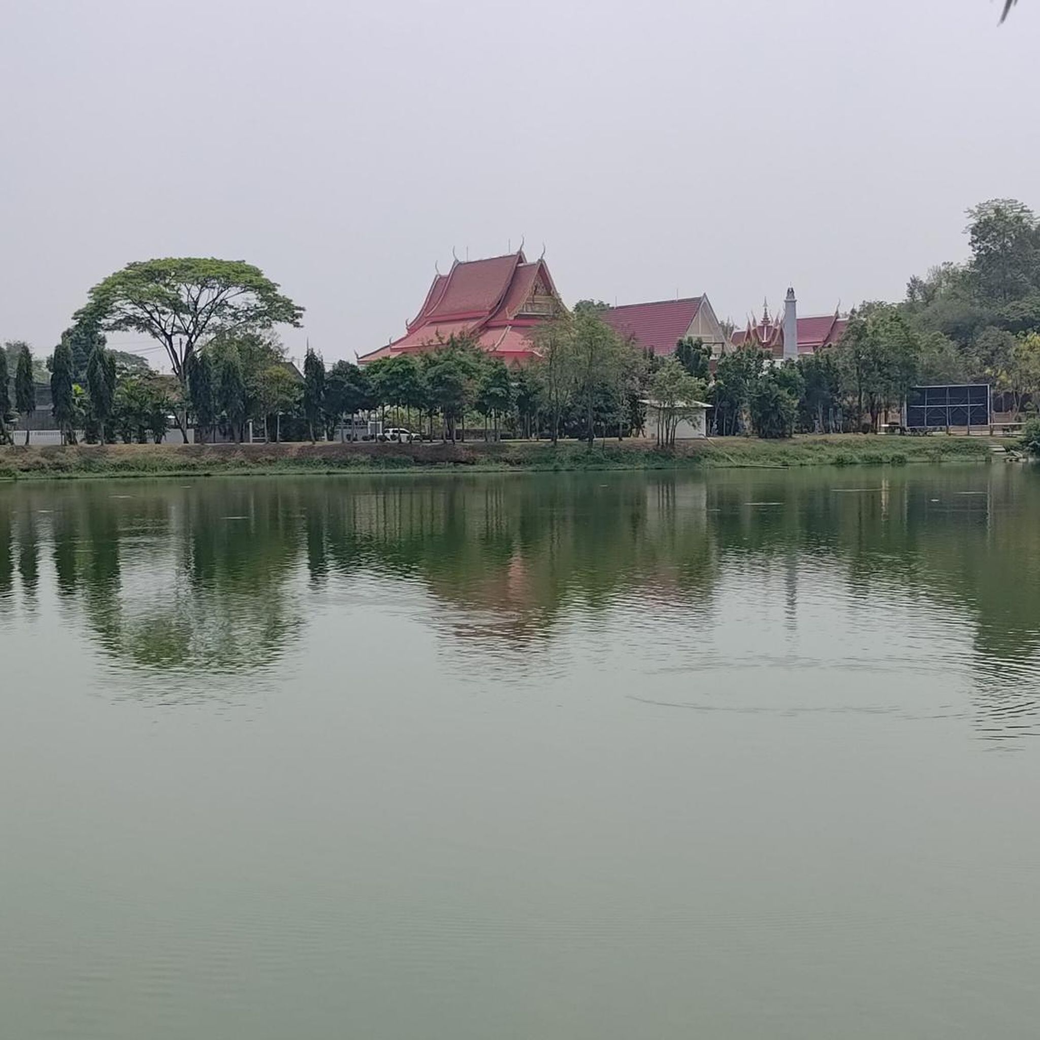
헤이투이센 주변의 다른 모험

커뮤니티 팁


총 3개의 벤치가 있으며, 그중 2개에는 테이블이 있습니다. 경치는 괜찮지만 뛰어나지는 않습니다. 잠시 쉬어가기에는 정말 괜찮습니다.
0
0


This is the connecting bridge that connects the "Maas Residenz" park with Thorn for pedestrians and cyclists.
0
1

The only remaining old oil mill in Limburg. It's also remarkable that this watermill is the only one of the six remaining water-oil mills in the Netherlands to house both a corn mill and an oil mill under one roof. Source: https://www.leumolen.nl/leudalmolens/index.html
5
0
This monument was unveiled on March 8, 2001, as a memorial to the war years 1940-1945 and to the more than 800 soldiers of 11 nationalities who lost their lives in the Leudal area. The Monument of Tolerance is a regional monument. It serves as a lasting reminder of the soldiers who died in the entire area comprising the present-day municipality of Leudal, the territory of the municipality of Nederweert located east of the Wessem-Nederweert Canal and the Noordervaart canal, and the territory of the municipalities of Maasgouw and Roermond located west of the Meuse River. A CD-ROM containing this information is placed at the heart of the monument. These fallen soldiers can be viewed in a database on our website. The bronze statue was created by sculptor Thea Houben from Roggel. It consists of a semi-arc on an equilateral triangle, symbolizing the Divine. The seagulls represent freedom. The sword with the laurel wreath and the clasped hands represent the battle that has been fought and the brotherhood that endures despite death. The design of this application, as well as the symbolism of the seagulls, was conceived by John Wagemans. The base of the monument is paved with cobblestones, one for each fallen soldier. The red rays in the paving symbolize the nationalities of the fallen. Source and more: https://monumentoftolerance.com/nl/monument
3
0
The Leudal is a 900-hectare nature reserve consisting primarily of forests with scattered grasslands, fields, and patches of heathland. Three streams flow through the area: the Leubeek, the Zelsterbeek, and the Haelensche Beek; for this reason, the Leudal is also known as the "Three Rivers Land." Approximately 500 hectares of the area are managed by the Dutch Forestry Commission (Staatsbosbeheer). Source: https://www.leumolen.nl/Entree/Start%20Leumolen/DeLeumolen.htm
4
0
At the end of the 20th century, the bell rope was removed because visitors couldn't resist ringing the bell. As a result, the bell's disappearance wasn't even noticed until 2007. During the restoration of the bell tower in January 2008, a new bell was installed, and the bell rope has also been returned. More stories about the watermill can be found at https://www.leumolen.nl/Entree/Start%20Leumolen/DeLeumolen.htm
5
0
자주 묻는 질문
하이츠위선 주변에는 교통량이 없는 투어링 사이클링 코스가 몇 개나 있나요?
하이츠위선 주변에는 60개 이상의 전용 교통량 없는 투어링 사이클링 코스가 있어 다양한 경험을 제공합니다. 이 코스 대부분은 쉬움 또는 보통 난이도로 분류되어 다양한 체력 수준의 사람들이 이용할 수 있습니다.
이 코스에서는 어떤 풍경을 기대할 수 있나요?
하이츠위선 주변 코스는 다양한 풍경을 가로지릅니다. 호수와 운하로 이루어진 광활한 마스플라센(Maasplassen)을 따라 자전거를 타게 되며, 구불구불한 퉁겔로이세 크릭(Tungelroyse creek)이 있는 고요한 루달 자연 보호구역(Leudal Nature Reserve)을 통과하게 됩니다. 전반적으로 평탄하지만, 더 넓은 림뷔르흐 지역은 완만한 구릉 지대도 제공하여 더욱 다채로운 경험을 선사합니다.
순환형 교통량 없는 투어링 코스도 있나요?
네, 하이츠위선 주변의 교통량 없는 투어링 코스 중 상당수는 순환형으로, 같은 지점에서 시작하고 끝낼 수 있습니다. 예를 들어, 켈펜-올러(Kelpen-Oler)에서 시작하는 보통 난이도의 농가의 십자가와 데 벨스바르트 방앗간 순환 코스는 약 42.5km를 달립니다.
교통량 없는 투어링 사이클링 코스를 따라 어떤 명소를 볼 수 있나요?
수많은 관심 지점을 발견할 수 있습니다. 주요 명소로는 역사적인 백색의 작은 마을 톤(Thorn, the little white town), 경치 좋은 마스플라센(Maasplassen), 그리고 케셀과 베셀 사이의 마스 페리(Maas ferry between Kessel and Beesel)가 있습니다. 이 코스는 또한 루달 자연 보호구역(Leudal Nature Reserve)과 같은 매력적인 마을과 자연 기념물을 통과합니다.
하이츠위선에서 투어링 사이클링을 즐기기에 가장 좋은 시기는 언제인가요?
하이츠위선에서 투어링 사이클링을 즐기기에 가장 쾌적한 시기는 일반적으로 봄과 가을입니다. 날씨가 온화하고, 꽃이 피거나 단풍이 물드는 자연 풍경이 특히 아름답습니다. 여름도 즐거울 수 있지만, 한낮의 더위를 피하기 위해 아침 일찍 또는 늦은 오후에 자전거를 타는 것이 좋습니다.
초보자나 가족에게 적합한 쉬운 코스가 있나요?
물론입니다. 많은 코스가 쉽고 가족 친화적으로 설계되었습니다. 예를 들어, 루달(Leudal)에서 시작하는 들판이 보이는 벤치와 성 엘리자베스 방앗간 순환 코스는 13.3km의 쉬운 코스로, 여유로운 라이딩에 완벽합니다. 이 지역의 평탄한 지형과 광범위한 차량 통행 없는 경로 네트워크는 모든 기술 수준에 이상적입니다.
교통량 없는 투어링 사이클링 코스를 시작할 때 차를 어디에 주차할 수 있나요?
하이츠위선과 주변 마을에는 다양한 주차 옵션이 있으며, 인기 있는 사이클링 코스의 시작점 근처나 방문자 센터에 있는 경우가 많습니다. 림뷔르흐의 잘 개발된 사이클링 인프라는 종종 자전거 이용자를 위한 지정된 주차 공간을 포함하며, 특히 자연 보호 구역과 대도시 근처에 있습니다.
이 사이클링 코스에 개를 데려갈 수 있나요?
네덜란드의 많은 자연 지역과 사이클링 경로는 개 친화적이며, 특히 개가 목줄에 매여 있다면 더욱 그렇습니다. 그러나 루달과 같은 특정 자연 보호 구역에는 별도의 규칙이 적용될 수 있습니다. 모두에게 즐거운 경험을 보장하기 위해 방문하려는 지역의 현지 표지판이나 특정 규정을 확인하는 것이 항상 가장 좋습니다.
다른 투어링 사이클리스트들이 하이츠위선에서의 사이클링을 가장 즐기는 점은 무엇인가요?
이 지역은 코무트 커뮤니티에서 평균 4.4점의 높은 평가를 받았으며, 190개 이상의 리뷰가 있습니다. 리뷰어들은 종종 조용하고 차량 통행이 없는 경로, 아름다운 자연 경관, 그리고 교통에서 벗어나 편안하고 몰입감 있는 투어링 경험을 가능하게 하는 잘 관리된 사이클링 네트워크를 칭찬합니다.
휴식을 위한 카페나 펍이 교통량 없는 투어링 코스에 있나요?
네, 코스는 매력적인 마을과 도시를 자주 통과하며, 이곳에서 수많은 카페, 레스토랑, 펍을 찾을 수 있습니다. 이곳은 휴식을 취하고, 현지 림뷔르흐 특선 요리를 즐기며, 여정을 계속하기 전에 재충전할 수 있는 훌륭한 기회를 제공합니다. 하이츠위선 자체에도 여러 카페와 테라스가 있습니다.
교통량 없는 투어링 사이클링 코스는 보통 길이가 얼마나 되나요?
코스는 다양한 선호도에 맞게 길이가 다양합니다. 루달에서 시작하는 들판이 보이는 벤치와 성 엘리자베스 방앗간 순환 코스와 같이 10-15km 정도의 짧고 쉬운 코스를 찾을 수 있습니다. 또한 켈펜-올러(Kelpen-Oler)에서 시작하는 케셀과 베셀 사이의 마스 페리 - 마스플라센 순환 코스와 같이 거의 50km에 달하는 길고 보통 난이도의 코스도 있어 하루 종일 즐길 수 있는 모험을 제공합니다.
헤이투이센 주변에서 가장 인기 있는 명소


더 살펴보기
다른 지역의 최고의 자전거 경로를 살펴보세요.
