채퍼드 주변 최고의 가족 하이킹 & 워킹 코스
4.6
(3342)
17,603
등산객
59
하이킹
가족 친화적인 차그포드 주변 하이킹 트레일은 탁 트인 황무지, 고대 삼림, 고요한 강 계곡으로 특징지어지는 다트무어 국립공원의 다양한 풍경에 접근할 수 있게 해줍니다. 이 지역에는 켄스토와 멜던 힐과 같은 상징적인 화강암 토르와 함께 고요한 테인 강과 그림 같은 협곡이 있습니다. 하이커들은 저수지 주변의 완만한 길부터 역사 유적지와 삼림 지대를 통과하는 더욱 다양한 코스까지 다양한 지형을 탐험할 수 있습니다. 이 지역은 가족에게 적합한 야외 활동을 위한 자연 환경을 제공합니다.
차그포드 주변 최고의 가족 친화적인 하이킹 트레일
- 가장 인기 있는 가족 친화적인…
마지막 업데이트: 11월 1, 2026
4.7
(35)
193
등산객
5.66km
01:33
90m
90m
초급용 하이킹. 쉽게 걸을 수 있는 길.
4.4
(19)
65
등산객
6.52km
01:46
90m
90m
초급용 하이킹. 쉽게 걸을 수 있는 길.

4.8
(59)
455
등산객
7.90km
02:04
60m
60m
보통 하이킹. 좋은 체력 필요. 쉽게 걸을 수 있는 길.
5.0
(23)
65
등산객
7.63km
02:14
220m
220m
보통 하이킹. 좋은 체력 필요. 쉽게 걸을 수 있는 길.
5.0
(6)
44
등산객
12.6km
03:38
300m
310m
보통 하이킹. 좋은 체력 필요. 쉽게 걸을 수 있는 길.
더 다양한 경로와 다른 탐험가들의 추천을 살펴보세요.
이미 komoot 계정이 있나요?
투어 추천은 다른 사람들이 komoot에서 완료한 수천 개의 활동을 바탕으로 구성되어 있습니다.
오늘 무료 계정으로 시작하세요
다음 모험이 기다리고 있어요.



커뮤니티 팁


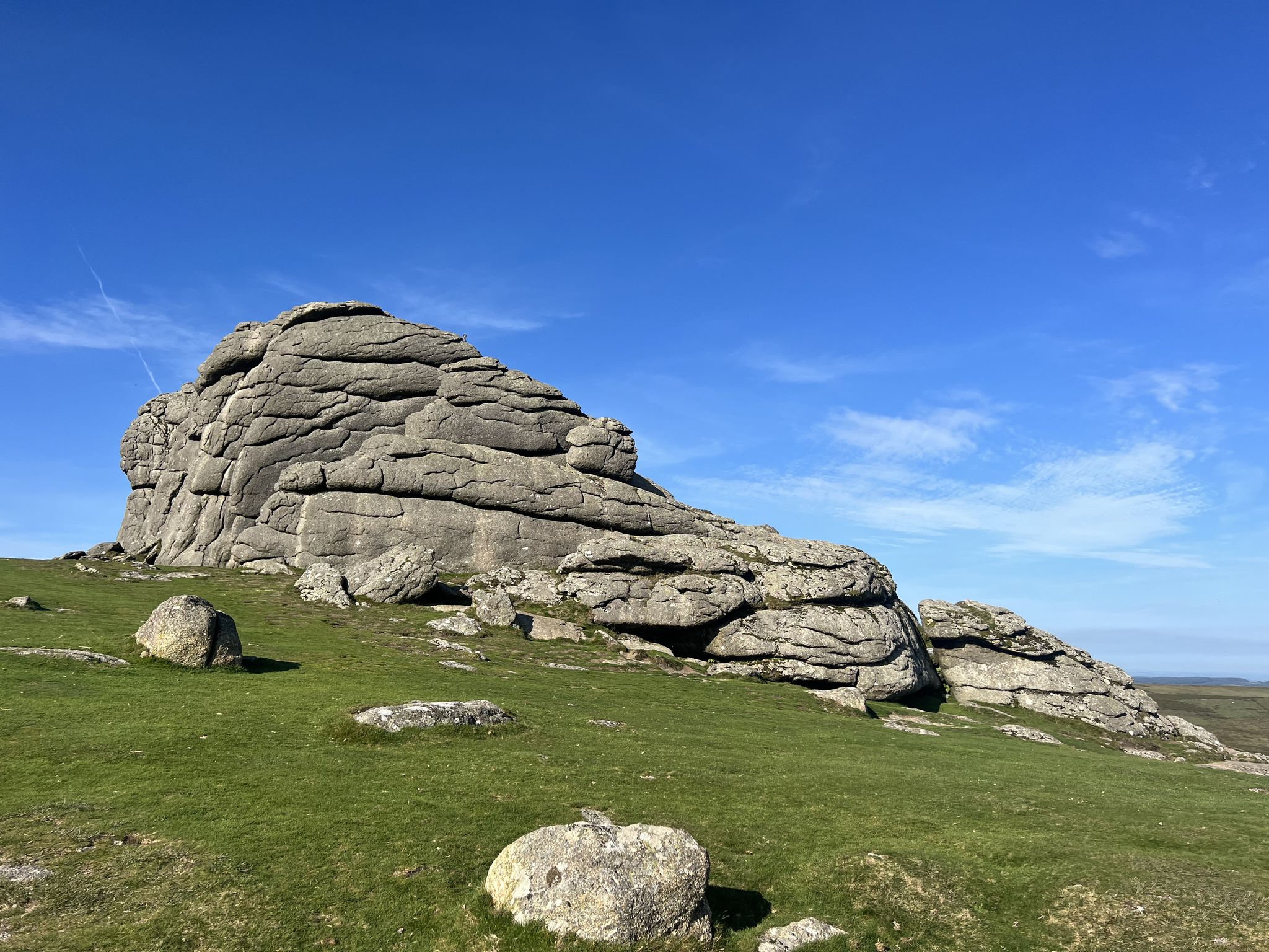
Hunters Tor on Dartmoor – overview and practical guide Notes on the feature Name variants: Hunters Tor (also found in some guides as “Hunters’ Tor” or “Hunters Tor” with occasional apostrophe usage). It is one of the granite tors you’ll encounter on the eastern Dartmoor plateau. Location context: Situated on the eastern Dartmoor moor, in the general area between Widecombe-in-the-Moor and the higher moorland to the north and east. It’s often visited as part of longer routes from classic eastern Dartmoor starting points. What to expect Elevation and geology: A granite tor typical of Dartmoor—weathered outcrops with rough boulder features and exposed granite. Provides a vantage point to survey surrounding moorland. Scenery: Wide moorland views with horizon lines; potential for good visibility across East Dartmoor on clear days. Getting there Access points: Likely starting points include car parks and laybys near the eastern moor, with access from roads serving Widecombe-in-the-Moor, Ashburton, or Two Bridges. Public transport: Buses to nearby villages with a short walk onto the moor; check current timetables. Parking: Local parking areas around the eastern moorland; follow local signage and
0
0
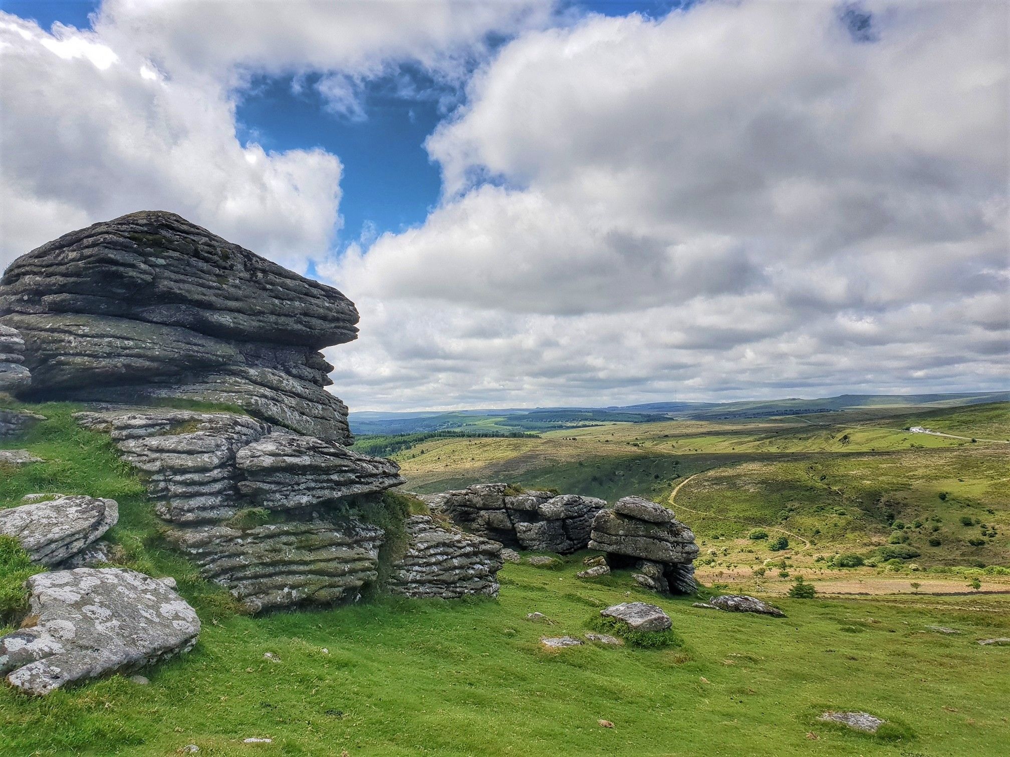
Hookney Tor on Dartmoor (Devon, England) Overview Location: Dartmoor National Park, Devon, England Elevation: Hookney Tor stands at roughly 460–480 meters (about 1,510–1,570 feet) above sea level, depending on measurement source. Geography: A prominent granite tor on the northeastern side of Dartmoor, near the higher moorland areas. It forms part of the rugged Dartmoor landscape with expansive views on clear days. Getting there Access points: Common starting points include Princetown (via the Dartmoor National Park boundary road) or the village of Postbridge to the southwest, with routes also starting from Two Bridges or Sourton to the west. Public transport: Bus services connect Tavistock, Princetown, and surrounding villages; check current timetables as services vary seasonally. Parking: There are several car parks around Dartmoor; parking near Princetown or near the Two Bridges Hotel area is convenient for Hookney Tor access.
0
0

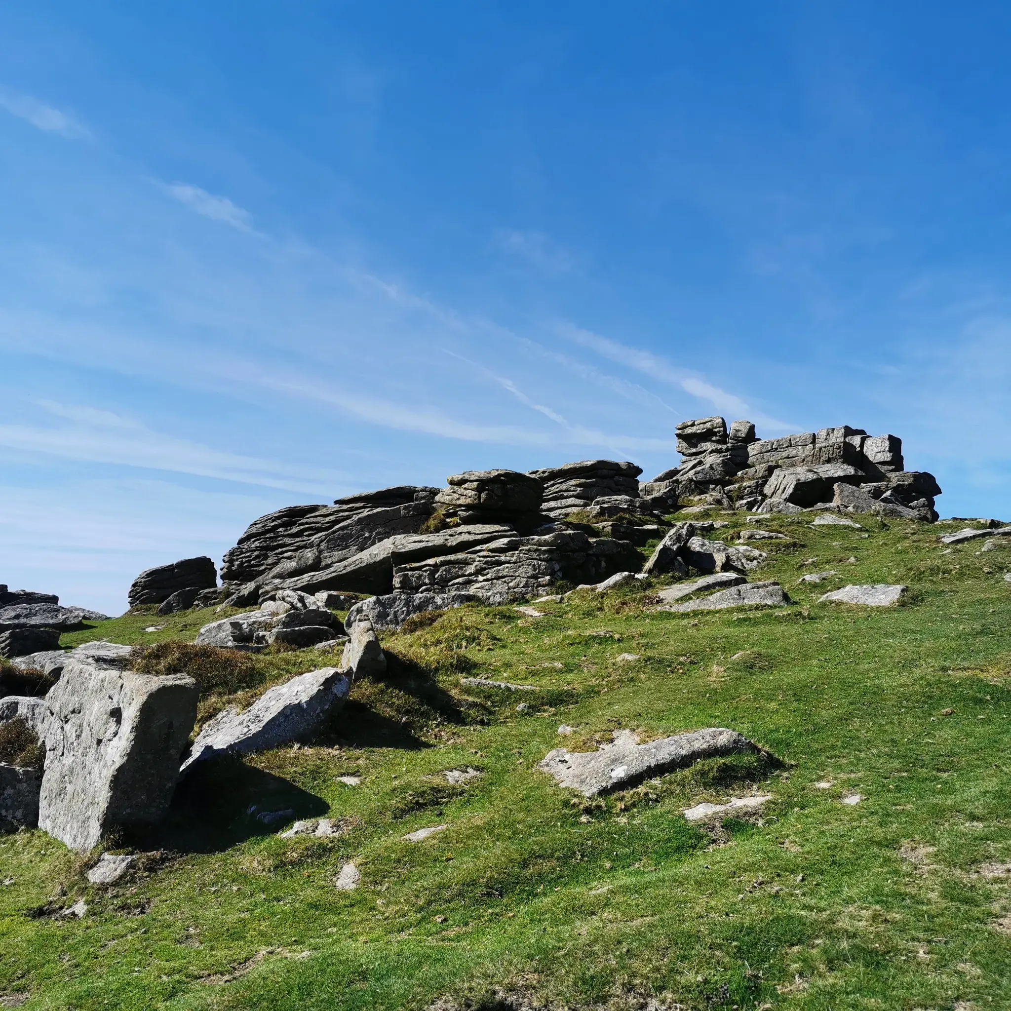
A truly ancient place, stretching back to 1400 BC. What a task constructing the surrounding wall must have been!
0
0

The small sacred monument, made of granite typical of the region, which the biker encounters at this spot, has been located here for several centuries. The familiar cross shape is difficult to recognize because the typical side arms of the longitudinal beam are largely missing, and only a few fragments of this monument are present.
0
0
The small granite sacred monument that the hiker encounters at this spot has been located here for several centuries. The familiar cruciform shape is difficult to recognize because the typical side arms of the longitudinal beam are largely missing, and only a few fragments of this monument are present.
2
0

Nice walk on a clear sunny day.
0
0

Set in a wooded valley in the heart of Dartmoor, Fernworthy supplies fresh drinking water to the towns and cities around the moor. The sloping, open grassland to the south of the water is a fantastic viewpoint and a great place from which to spot wildlife.
0
0
자주 묻는 질문
차그포드 주변에는 가족 친화적인 하이킹 트레일이 몇 개나 있나요?
차그포드 주변에는 50개 이상의 가족 친화적인 하이킹 트레일이 있으며, 그중 20개는 쉬움 등급으로 분류되어 어린 자녀가 있는 가족이나 편안한 나들이를 원하는 분들에게 완벽합니다. komoot 커뮤니티는 이 트레일에 대해 별점 5점 만점에 평균 4.6점으로 높은 평가를 내렸습니다.
어린 자녀가 있는 가족에게 적합한 쉬운 순환 산책로가 있나요?
네, 차그포드는 가족에게 이상적인 여러 쉬운 순환 산책로를 제공합니다. 훌륭한 옵션 중 하나는 길이가 5.5km가 조금 넘고 완료하는 데 약 1.5시간이 걸리는 펀워시 저수지 – 펀워시 숲 루프입니다. 최소한의 고도 변화가 있는 완만한 코스로, 여유로운 산책에 완벽합니다.
가족 하이킹 시 어떤 종류의 자연 경관과 볼거리를 기대할 수 있나요?
차그포드의 가족 친화적인 트레일은 종종 고대 삼림, 고요한 강 계곡, 탁 트인 황무지 등 다양한 풍경을 통과합니다. 다트무어의 상징적인 화강암 토르, 생기 넘치는 헤더, 야생 다트무어 조랑말을 볼 수 있습니다. 하이라이트로는 조류 관찰에 탁월한 고요한 펀워시 저수지와 역사적인 핑글 다리가 있습니다.
차그포드 주변의 가족 친화적인 트레일은 반려견 동반이 가능한가요?
차그포드 주변의 많은 트레일은 반려견 동반이 가능하여 여러분의 충실한 친구들도 모험에 함께할 수 있습니다. 하지만 다트무어는 가축이 있는 작업 환경이므로, 특히 양과 조랑말 근처에서는 반려견을 가까이 통제하고 특정 구역에서는 목줄을 착용하는 것이 필수적입니다. 항상 특정 제한 사항에 대해 현지 표지판을 확인하십시오.
차그포드 근처 가족 하이킹 트레일의 주차는 어디서 할 수 있나요?
주차는 일반적으로 인기 있는 트레일 시작점과 명소에서 가능합니다. 예를 들어, 펀워시 저수지 – 펀워시 숲 루프와 같은 코스의 경우 펀워시 저수지 근처에 주차장이 있습니다. 핑글 다리와 캐슬 드로고 주변 트레일의 경우 지정된 주차 구역이 보통 마련되어 있습니다. 가장 편리한 주차 옵션에 대해서는 항상 특정 코스 세부 정보를 확인하십시오.
가족 하이킹 중에 역사 유적지나 랜드마크를 방문할 수 있나요?
물론입니다! 이 지역은 역사적으로 풍부합니다. 핑글 다리 – 핑글 다리 여관 루프는 800년 된 핑글 다리를 지나고 영국에서 마지막으로 지어진 성인 캐슬 드로고를 조망하며 역사와 자연을 결합한 코스입니다. 일부 코스에서는 고대 석조 다리와 돌 원과 같은 선사 시대 유적지도 찾을 수 있습니다.
차그포드에서 가족 하이킹을 즐기기 가장 좋은 시기는 언제인가요?
봄과 여름은 야생화가 피고 낮 시간이 길어 가족 하이킹에 쾌적한 날씨를 제공합니다. 늦여름에는 황무지에 생기 넘치는 헤더가 만발합니다. 가을은 아름다운 단풍을 선사하지만, 트레일이 더 습할 수 있습니다. 겨울 산책은 마법 같을 수 있지만, 잠재적으로 더 춥고 습한 조건에 대비한 적절한 장비가 필요합니다. 출발하기 전에 항상 일기 예보를 확인하십시오.
가족 친화적인 하이킹 트레일 근처에 카페나 펍이 있나요?
네, 차그포드 자체에는 하이킹 후 즐길 수 있는 카페와 펍이 있는 매력적인 거리가 있습니다. 핑글 다리 – 핑글 다리 여관 루프와 같은 일부 코스는 핑글 다리 여관과 같은 시설을 바로 지나가므로 편리하게 휴식을 취할 수 있습니다. 특히 성수기 외에는 항상 영업 시간을 확인하는 것이 좋습니다.
차그포드 근처에서 가족 하이킹과 야영 수영을 결합할 수 있나요?
이 지역을 흐르는 테인 강은 야영 수영을 즐길 수 있는 기회를 제공합니다. 차그포드에는 남서부에서 가장 큰 담수 야외 수영장도 있습니다. 모든 하이킹 트레일에 직접 연결되는 것은 아니지만, 일부 코스는 특히 따뜻한 달에 상쾌한 물놀이를 즐길 수 있는 적합한 장소 근처로 이어집니다. 항상 주의를 기울이고 수질 상태를 인지하십시오.
차그포드 주변의 가족 친화적인 트레일에 대해 다른 하이커들이 가장 즐기는 점은 무엇인가요?
komoot 커뮤니티는 차그포드 주변의 가족 친화적인 트레일에 대해 2,800건 이상의 평가에서 평균 4.6점의 높은 점수를 부여하고 있습니다. 리뷰어들은 종종 고대 삼림부터 탁 트인 황무지까지 다양한 풍경, 잘 관리된 길, 고요한 분위기를 칭찬합니다. 다트무어 조랑말을 볼 기회와 역사적인 랜드마크를 발견하는 것도 자주 언급되는 즐거운 측면입니다.
고대 돌 원이나 선사 시대 유적지가 있는 트레일이 있나요?
네, 차그포드 주변의 다트무어 지역은 선사 시대 역사로 풍부합니다. 가장 쉬운 가족 코스에 직접 연결되는 것은 아니지만, 펀워시 돌 원 – 펀워시 저수지 루프와 같은 일부 중간 난이도 코스는 고대 유적지를 포함합니다. 청동기 시대의 밭과 다양한 돌 원과 같은 유적지를 탐험하며 가족 모험에 교육적이고 흥미로운 요소를 더할 수 있습니다.
채퍼드 주변에서 가장 인기 있는 명소


더 살펴보기
다른 지역의 최고의 하이킹를 살펴보세요.
