경로

플래너

기능

업데이트

App

로그인 또는 가입

앱 다운로드

로그인 또는 가입

경로
Places to see
이탈리아
투스카니
아레초

네이처 리저브 델 사쏘 디 시몬

경로
Places to see
이탈리아
투스카니
아레초

네이처 리저브 델 사쏘 디 시몬

7의 네이처 리저브 델 사쏘 디 시몬가지 명소 & 주요 장소


네이처 리저브 델 사쏘 디 시몬에는 둘러볼 만한 장소가 많답니다. 하이킹 또는 사이클링을 좋아한다면 네이처 리저브 델 사쏘 디 시몬에 숨겨진 7
가지 보석을 만날 수 있을 거예요. 이 지역의 주요 명소를 살펴보면서 다음 모험을 계획해보세요.

마지막 업데이트: 7월 14, 2026

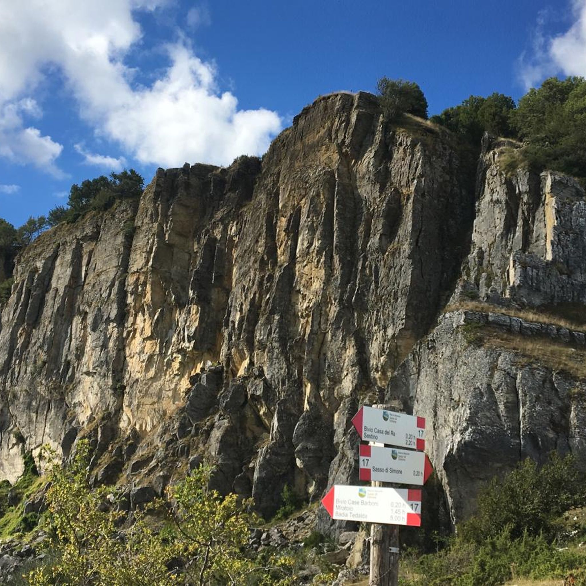
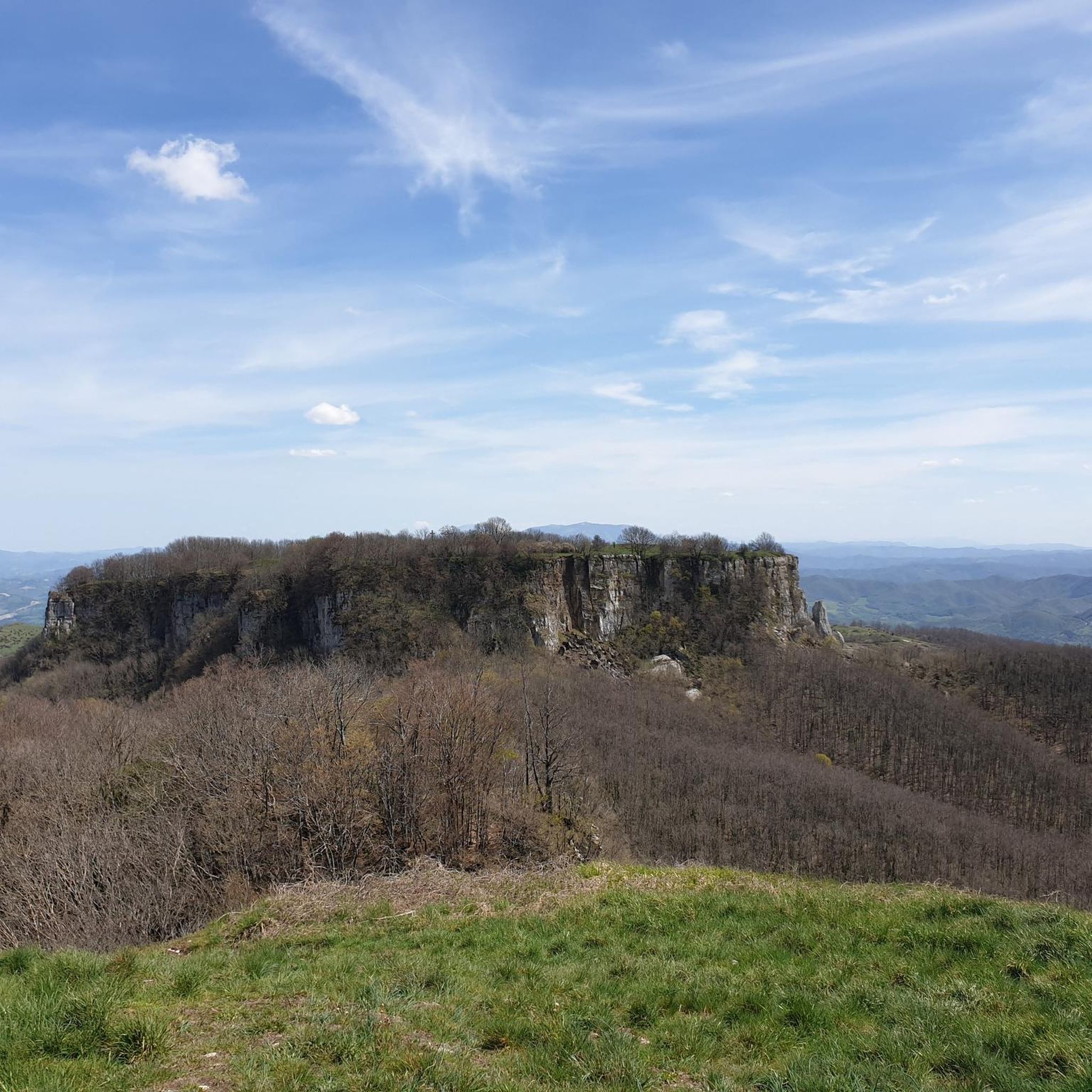
사소 시모네

하이라이트 • 자연 기념물

The path from Passo Cantoniera to Sasso Simone is not always accessible, as part of the path is located inside the Military Range of Carpegna. On some days, access is …

번역자 Google •

에 의해

하이킹 보기

휴대폰으로 전송

저장

몬테 시몬첼로

하이라이트 • 정상

Ascent involves some exposure and holding yourselves to some ropes. No equipment necessary.

에 의해

저장

이런 장소를 발견하려면 지금 가입하세요

최고의 싱글 트랙, 봉우리 및 다양한 흥미로운 야외 장소에 대한 추천을 받아보세요.

무료 회원 가입

사소 시모네 요새 유적

하이라이트 • 역사적 장소

Conceived by Cosimo I de' Medici in the spring of 1554, on the borders of the Marche on one of the most inaccessible peaks of the Apennines, the fortress city …

번역자 Google •

에 의해

저장

셀라 데이 사시

하이라이트 • 산악 고개

The Sassi saddle is located at an altitude of 1,150 metres. This is the pass that separates Sasso di Simone and Mount Simoncello, the latter reachable with a detour that starts right from here.

번역자 Google •

에 의해

저장

미라토이오 델 사소 디 시모네

하이라이트 • 전망대

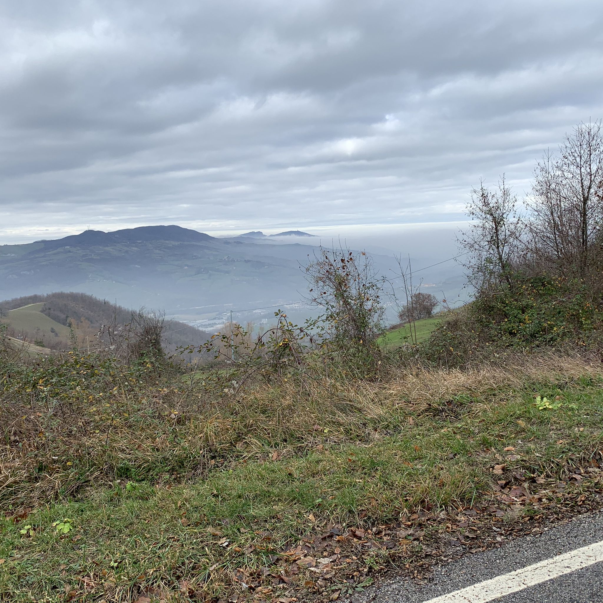
In this stretch of road the absence of traffic and the excellent asphalt conditions make the ride spectacular. The road at an altitude between 700 and 900 meters above sea level offers some spectacular points of view.

번역자 Google •

에 의해

저장

무료로 가입하여 네이처 리저브 델 사쏘 디 시몬 주변의 더 많은 명소를 발견하세요.

무료 회원 가입

이미 komoot 계정이 있나요?

오늘 무료 계정으로 시작하세요

다음 모험이 기다리고 있어요.
로그인 또는 가입하기

네이처 리저브 델 사쏘 디 시몬 주변 인기 장소

네이처 리저브 델 사쏘 디 시몬 하이킹

네이처 리저브 델 사쏘 디 시몬 로드 사이클링 경로

네이처 리저브 델 사쏘 디 시몬 MTB 트레일

네이처 리저브 델 사쏘 디 시몬 사이클링

네이처 리저브 델 사쏘 디 시몬 러닝 트레일

네이처 리저브 델 사쏘 디 시몬 주변 그래블 라이딩

커뮤니티 팁

Alessandro Tripi
8월 24, 2025, Sella dei Sassi

Hi, roughly how far is Sasso Simone from Sella dei Sassi? I mean without climbing up 😅. Thanks!

번역: Google

0

0

Conceived by Cosimo I de' Medici in the spring of 1554, on the borders of the Marche on one of the most inaccessible peaks of the Apennines, the fortress city of Sasso Simone was an expression of the ambitious policy of the grand dukes of Tuscany But the daring project soon failed: defeated by the hardships and terrible climatic conditions, the inhabitants fled after just 10 years. The structures began to deteriorate more and more, until, in 1674, the city was already totally ruined and its dismantling was ordered to recover reusable materials.

번역: Google

1

0

The Sassi saddle is located at an altitude of 1,150 metres. This is the pass that separates Sasso di Simone and Mount Simoncello, the latter reachable with a detour that starts right from here.

번역: Google

0

0

Stunning areas, little traffic

번역: Google

0

0

Place to see, ancient fortress commissioned by Cosimo I of which little or nothing remains

번역: Google

0

0

The path from Passo Cantoniera to Sasso Simone is not always accessible, as part of the path is located inside the Military Range of Carpegna. On some days, access is prohibited (on days when fire drills are in progress). The current calendar can be consulted here: parcosimone.it/accessibilita-al-poligono-di-carpegna

번역: Google

2

0

The path from Passo Cantoniera to Sasso Simone is not always accessible, as part of the path is located inside the Military Range of Carpegna. On some days, access is prohibited (on days when fire drills are in progress). The current calendar can be consulted here: http://www.parcosimone.it/accessibilita-al-poligono-di-carpegna/

번역: Google

1

0

There are steel cables that aid the steep ascent, which requires good mobility, and there are some exposed sections, albeit short, that are not negligible. Simoncello is an important mountain in the Apennines, located on the border between Emilia-Romagna (municipality of Pennabilli, in the province of Rimini), Tuscany (municipality of Sestino, in the province of Arezzo), and the Marche (municipality of Carpegna, in the province of Pesaro-Urbino). The summit of the mountain falls entirely within the province of Pesaro and Urbino[1]; it is also entirely included in the Sasso Simone and Simoncello regional natural park. Although the name is a diminutive of the nearby Sasso Simone, Simoncello is actually higher; in fact, it reaches 1,221 meters[2] in altitude compared to Sasso Simone's 1,204. Mount Simoncello forms a middle link in the mountain range that separates the valleys of the Marecchia (to the northwest) and Foglia (to the southeast) rivers. This range continues southward with the Sasso Simone and, further north, also includes Mount Carpegna (1,415 m). Many streams, tributaries of both the Marecchia and Foglia rivers, originate on the slopes of Mount Simoncello. (Wikipedia)

번역: Google

0

0

네이처 리저브 델 사쏘 디 시몬 주변에서 가장 인기 있는 경로

네이처 리저브 델 사쏘 디 시몬 하이킹

Store rating

komoot 모바일 앱으로 영감을 받아보세요

무료 komoot 계정로 끝없는 야외 모험을 손쉽게 찾고, 맞춤 설정하며 길안내할 수 있어요.

또는

지금 komoot에 가입하세요

Store rating

더 살펴보기

찾고 있는 하이라이트를 아직 못 찾으셨나요? 다른 지역의 주요 명소 가이드를 확인해보세요:

뽀삐치우시 델라 베르나프라토베키오 스티아비비에나피에베 산토 스테파노바디아 테달다서브비아노카스텔 산 니콜로카브리글리아몬테미냐오카프레제 미켈란젤로로로 시우페나카스텔 포코그나노벨포르테 알이사우로세스티노카스텔프랑코 피안디스코카폴로나앙기아리발 디 치아나의 시비텔라부신테라누오바 브라치올리니치티냐노코르토나몬테 산 사비노몬테바르키카스틸리온 피오렌티노탈라오르티냐노 라지올로산세폴크로페르진 발다르노라테리나카스틸리온 피보키산 조반니 발다르노몬테치포이아노 델라 치아나마르시아노 델라 치아나루시냐노Area Naturale Protetta Di Interesse Locale Le BalzeRiserva Naturale Dell'Alpe Della LunaRiserva Naturale Dei Monti RognosiRiserva Naturale Ponte A Buriano E Penna

근처 어드벤처 가이드

세스티노 즐길거리

background

새로운 정복을 위한 준비를 하세요

무료로 가입하기

탐험하기
경로경로 플래너기능하이킹MTB 트레일로드 사이클링 경로바이크패킹사이트맵
앱 다운로드
소셜 미디어에서 팔로우하기

© komoot GmbH

개인 정보 보호 정책