아베토 자연 지역 공원 주변 최고의 교통량 없는 자전거 라이딩 코스
4.5
(165)
2,235
자전거 타는 사람
16
라이딩
교통량이 적은 파르코 나투랄레 레조날레 델라베토 주변의 사이클링 루트는 지각 운동과 빙하 작용으로 형성된 다양한 풍경을 가로지릅니다. 이 지역은 고산 지형, 광활한 목초지, 깊은 계곡을 특징으로 합니다. 특정 지역으로는 고산 지형과 너도밤나무 숲이 있는 아베토 계곡과 초원 및 밤나무 숲으로 유명한 스투를라 계곡이 있습니다. 이 공원에는 몬테 페나와 몬테 아이오나와 같은 유명한 봉우리와 호수 및 습지도 있습니다.
파르코 나투랄레 레조날레 델라베토 주변 최고의 교통량 없는 사이클링 루트
- 가장 인기 있는 교통량 없는 사이클링 루트는 몬테 페나의 리푸르지오 몬테 페나 –…
마지막 업데이트: 8월 23, 2026
4.3
(4)
81
자전거 타는 사람
42.5km
03:47
1,200m
1,200m
어려운 자전거 타기. 우수한 체력 필요. 대부분 포장된 지면. 실력과 관계없이 누구나 갈 수 있음.
4.7
(3)
32
자전거 타는 사람
16.8km
01:47
450m
450m
어려운 자전거 타기. 우수한 체력 필요. 투어 중 자전거를 끌고 가야 하는 구간이 있을 수 있음.

무료 회원 가입
8
자전거 타는 사람
67.2km
06:27
2,190m
2,200m
어려운 자전거 타기. 우수한 체력 필요. 대부분 포장된 지면. 실력과 관계없이 누구나 갈 수 있음.
4.0
(2)
44
자전거 타는 사람
41.4km
04:14
1,240m
1,240m
어려운 자전거 타기. 우수한 체력 필요. 투어 중 자전거를 끌고 가야 하는 구간이 있을 수 있음.
31
자전거 타는 사람
51.1km
05:08
1,680m
1,680m
어려운 자전거 타기. 우수한 체력 필요. 대부분 포장된 지면. 실력과 관계없이 누구나 갈 수 있음.
더 다양한 경로와 다른 탐험가들의 추천을 살펴보세요.
무료 회원 가입
이미 komoot 계정이 있나요?
투어 추천은 다른 사람들이 komoot에서 완료한 수천 개의 활동을 바탕으로 구성되어 있습니다.
오늘 무료 계정으로 시작하세요
다음 모험이 기다리고 있어요.
로그인 또는 가입하기




커뮤니티 팁

휴식을 취하기 좋은 곳입니다. 쉽게 접근할 수 있습니다
0
0
산길을 따라 표지판이 잘 되어 있습니다.
0
0
1.400m 고도에 위치한 아름다운 하이킹 시설로, 너도밤나무에 둘러싸여 있으며 파르마 현의 Bedonia 및 Tornolo 지자체, 제노바 대도시권의 Santo Stefano d'Aveto와 접해 있습니다. 시설은 최근에 지어졌고 좋은 상태임에도 불구하고 절대 열리지 않는다는 점이 아쉽습니다.
0
0
Bel valico dell'Appennino Ligure situato a 1.468 metri. Punto strategico che offre varie alternative per iniziare una passeggiata o una lunga escursione.
0
0
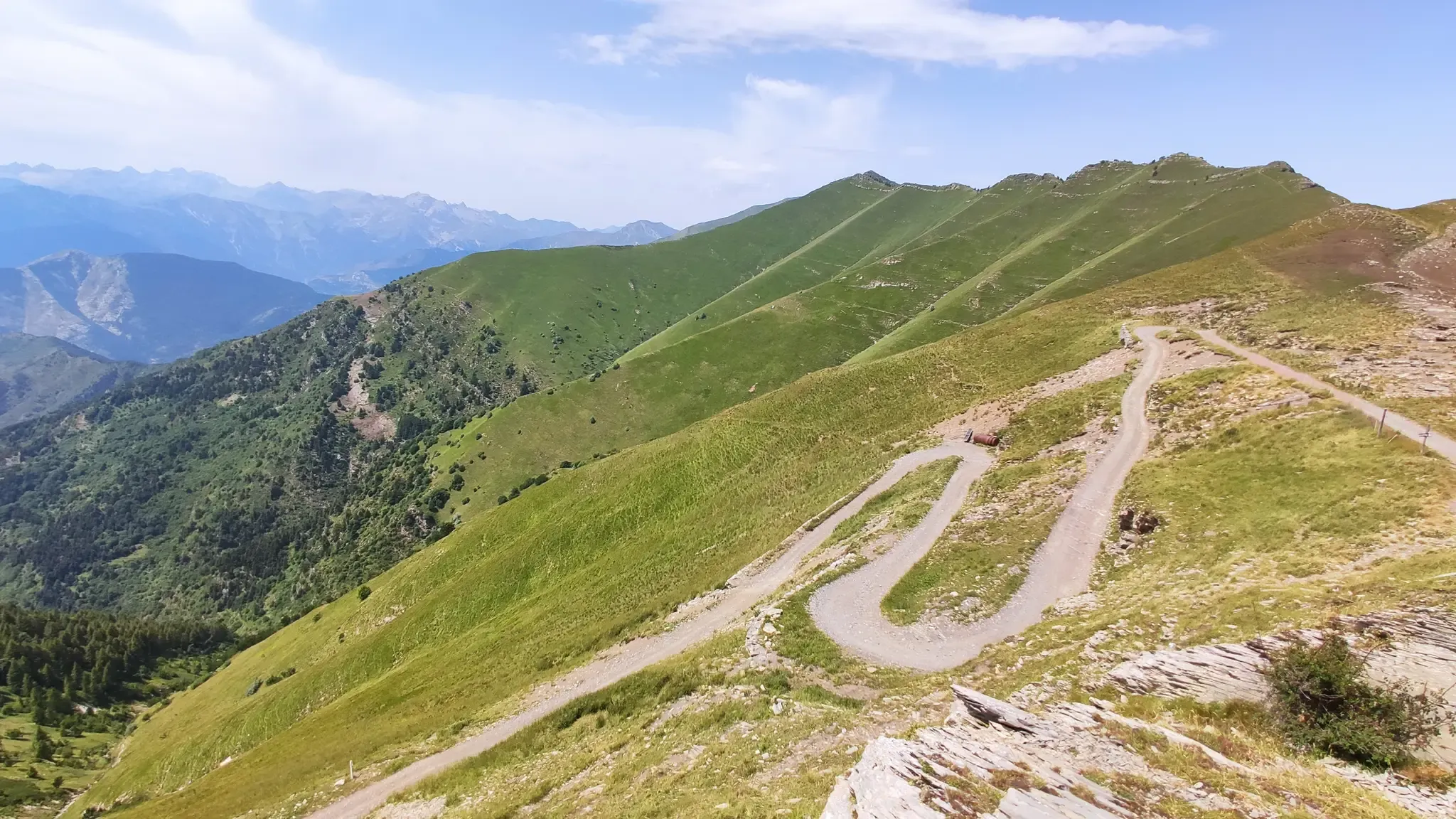
해발 1,452m에 위치한 아펜니노 리구레 고개는 자동차로 접근할 수 있으며, 다양한 하이킹 트레일이 갈라지는 교차로입니다.
0
0
오래된 막사를 복구하여 탄생한 이곳은 식사와 숙박이 모두 가능한 멋진 휴식처입니다. 위치가 훌륭하여 이 지역을 방문할 때 꼭 들르는 곳이 되었습니다.
0
0

Pria Burgheisa (Pietra Borghese) is a massive outcrop of mantle peridotites, among the best-known and most significant in the area. It lies on the southwestern edge of the Prato Mollo plateau, on the southern slopes of Mount Aiona, at an altitude of 1,465 m. It is a geosite of considerable petrographic, mineralogical, and regional geological interest, allowing us to study the evolution of a portion of the lithospheric mantle subsequently involved in the Apennine orogeny. The outcrop has a highly irregular shape: 30 m long, 10 m wide at its maximum, and 7–8 m high. The rocks are dark in color, ranging from blackish to brownish; the mass is affected by three main fracture systems, more or less orthogonal to each other, which fragment it into numerous square-shaped blocks. The surface of the blocks has a pitted appearance, as the pyroxene crystals, more resistant to erosion than olivine, remain prominent. At the outcrop, mantle foliation is evident, due to the presence of frequent pyroxenite bands. Source: Liguria Geosite Registry.
0
0

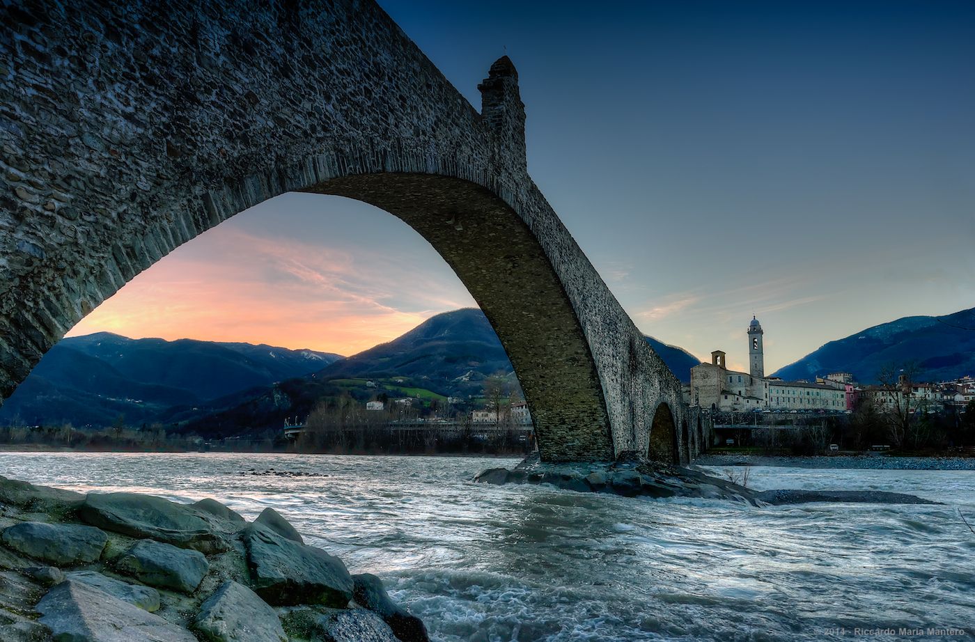
Situated at 717 meters above sea level, Santa Maria del Taro is a hamlet in the municipality of Tornolo (province of Parma), nestled in the heart of the Northern Apennines, near the border between Emilia and Liguria. Since the early Middle Ages, its strategic position along the ancient ridge road connecting the sea to the Po Valley has made it a transit and trade center, as well as a military and commercial control point. The name itself recalls the religious devotion that has permeated the town for centuries: the church-sanctuary dedicated to the Nativity of Mary, rebuilt in neoclassical style between 1807 and 1834, stands on an older structure and has been the spiritual center of the upper Taro Valley for centuries. The building, with its broad façade and stone bell tower, preserves a deep devotional tradition that is still alive. A short walk from the center is the Ponte dei Priori, a medieval humpbacked stone structure that once served as the only permanent access to the valley and symbolically marked the passage between the lands of the Malaspina and Fieschi families, two powerful feudal families of the Apennines. Over the centuries, Santa Maria del Taro has maintained an identity suspended between Emilian and Ligurian culture, evident in the features of its rural architecture, local dialects, and popular customs.
0
0
자주 묻는 질문
Parco naturale regionale dell'Aveto에 차량 통행이 없는 투어링 사이클링 루트는 몇 개나 있나요?
Parco naturale regionale dell'Aveto에는 10개 이상의 전용 차량 통행 없는 투어링 사이클링 루트가 있어, 다양한 풍경을 가로지르는 다채로운 경험을 제공합니다.
Parco naturale regionale dell'Aveto에 초보자에게 적합한 쉬운 차량 통행 없는 투어링 사이클링 루트가 있나요?
공원 내 많은 루트가 어렵지만, 최소한 한 개의 쉬운 차량 통행 없는 투어링 사이클링 루트가 있습니다. 공원의 다양한 지형 때문에 호수 주변 루트도 좀 더 완만한 경험을 제공할 수 있지만, 대부분 상당한 고도 변화를 포함합니다.
Parco naturale regionale dell'Aveto의 차량 통행 없는 투어링 사이클링 루트를 따라 어떤 자연 지형이나 랜드마크를 볼 수 있나요?
루트는 종종 중요한 자연 지형과 랜드마크를 지나갑니다. 고산 풍경, 넓은 목초지, 깊은 계곡을 만날 수 있습니다. 주목할 만한 지점으로는 Incisa Pass, Monte Aiona, 그리고 고요한 Lame 호수가 있습니다. Monte Penna 주변 지역에는 Monte Penna의 마돈나 동상도 있습니다.
Parco naturale regionale dell'Aveto에서 차량 통행 없는 투어링 사이클링을 즐기기에 가장 좋은 시기는 언제인가요?
가을은 특히 아름다운데, 숲이 활기찬 단풍으로 변모하여 경치 좋은 라이딩에 이상적입니다. 여름은 특히 고지대에서 더위를 피해 시원한 탈출구를 제공합니다. 봄은 신선한 녹음을 가져오지만, 겨울은 눈과 추운 날씨 때문에 특히 높은 고개에서 어려울 수 있습니다.
공원 내에 순환형 차량 통행 없는 투어링 사이클링 루트가 있나요?
네, Parco naturale regionale dell'Aveto의 많은 차량 통행 없는 투어링 사이클링 루트는 루프 형태로 설계되었습니다. 예를 들어, Rifugio Monte Penna – Monte Penna에서 바라본 Lago delle Lame 루프와 Nave del Penna – Monte Penna에서 바라본 Passo del Chiodo 루프는 훌륭한 순환형 경험을 제공하며, 같은 지점에서 시작하고 끝낼 수 있습니다.
다른 투어링 사이클리스트들은 Parco naturale regionale dell'Aveto에서의 투어링 사이클링을 가장 즐겁게 느끼는 점은 무엇인가요?
이 지역은 komoot 커뮤니티에서 140개 이상의 평가에서 평균 4.4점의 높은 점수를 받았습니다. 리뷰어들은 종종 다양하고 매혹적인 풍경, 조용한 도로, 고산 지형, 넓은 목초지, 깊은 계곡을 통과하는 몰입감 있는 사이클링 경험을 칭찬합니다.
공원 설명에 언급된 야생마를 볼 수 있는 루트가 있나요?
특정 루트에서 야생마를 볼 수 있다고 보장할 수는 없지만, 야생마는 Aveto 공원 내에서 돌아다니는 것으로 알려져 있습니다. 특히 Aveto 계곡의 더 외지고 넓은 목초지를 사이클링하면 이 멋진 동물들을 만날 확률이 높아질 수 있습니다.
차량 통행 없는 투어링 사이클링 루트를 따라 카페나 휴게소를 찾을 수 있나요?
공원의 루트는 종종 자연적이고 인구가 적은 지역을 통과합니다. 일부 루트는 작은 마을을 통과하거나 휴게 시설이 있을 수 있는 산장 근처를 지나갈 수 있지만, 전용 카페가 드물 수 있으므로 특히 길거나 외딴 투어에서는 충분한 물과 간식을 휴대하는 것이 좋습니다.
Alta Via dei Monti Liguri의 일부 구간을 지나는 루트가 있나요?
네, 중요한 장거리 하이킹 및 사이클링 루트인 Alta Via dei Monti Liguri의 한 구간이 Parco naturale regionale dell'Aveto를 통과합니다. 이는 사이클리스트들에게 종종 차량 통행이 없는 길에서 리구리아 산맥의 척추를 경험할 기회를 제공합니다.
이 차량 통행 없는 투어링 사이클링 루트에서 어떤 종류의 지형을 예상할 수 있나요?
고산 풍경과 넓은 목초지부터 밤나무와 올리브 나무가 있는 깊은 계곡까지 다양한 지형을 예상할 수 있습니다. 많은 루트는 상당한 고도 상승과 하강을 특징으로 하며, 포장된 도로에서 자갈길까지 표면이 다양하며, 이는 지각 운동과 빙하 작용으로 형성된 공원의 다양한 지리를 반영합니다.
Lame 호수나 Giacopiane 댐을 지나는 루트가 있나요?
네, 일부 루트는 이러한 주목할 만한 수역을 조망하거나 근처를 지납니다. 예를 들어, Rifugio Monte Penna – Monte Penna에서 바라본 Lago delle Lame 루프는 Lame 호수 주변의 중요한 습지 서식지를 경험할 수 있는 훌륭한 기회를 제공합니다. Giacopiane 댐과 호수 또한 공원 내 중요한 명소로 사이클링 투어에 포함될 수 있습니다.
아베토 자연 지역 공원 주변에서 가장 인기 있는 경로
아베토 자연 지역 공원 주변에서 가장 인기 있는 명소


더 살펴보기
다른 지역의 최고의 자전거 경로를 살펴보세요.
