하이 아틀라스 범위 주변 최고의 가족 하이킹 & 워킹 코스
4.5
(2845)
20,407
등산객
74
하이킹
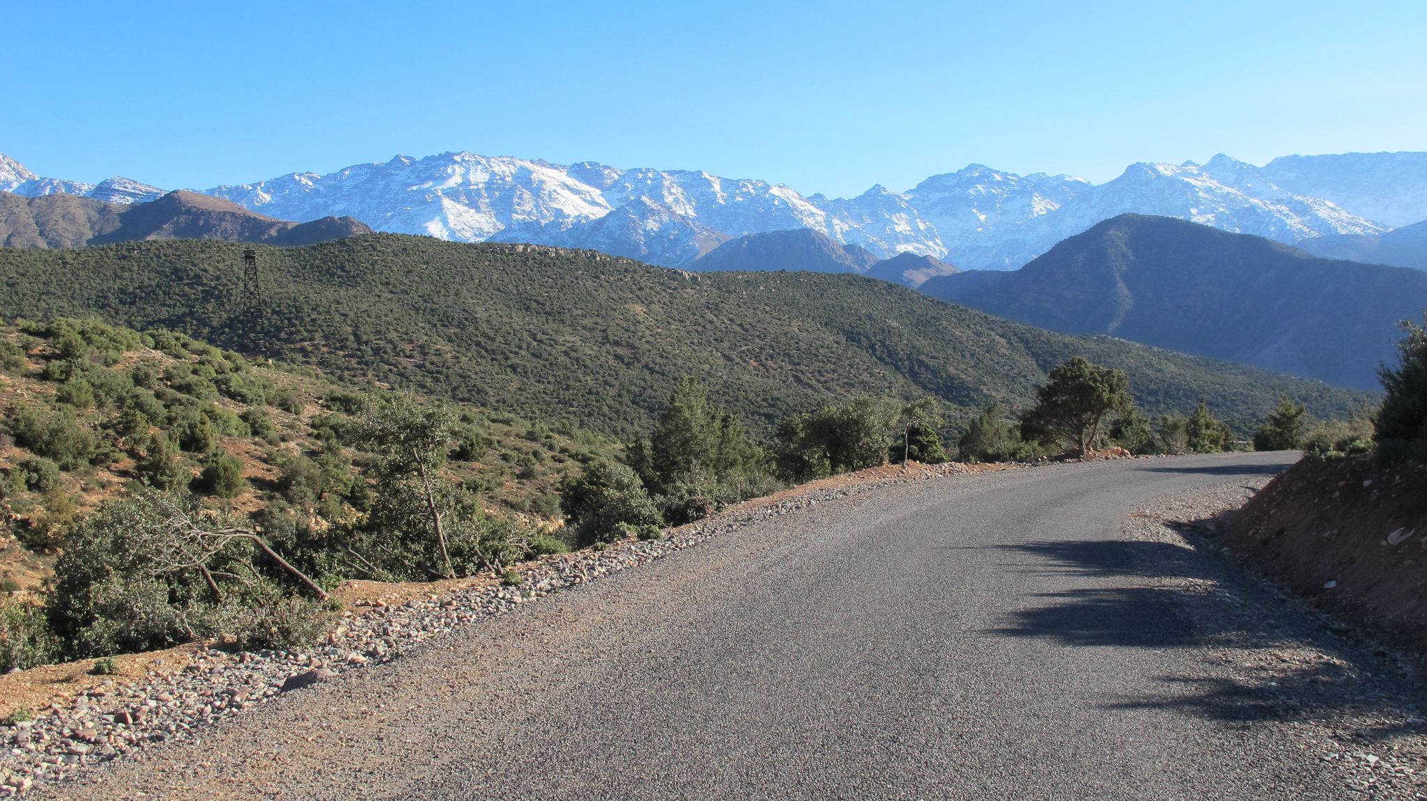
가족 친화적인 하이킹 트레일이 있는 고아틀라스 산맥은 우뚝 솟은 봉우리, 푸른 계곡, 전통적인 베르베르 마을로 정의되는 풍경을 가로지릅니다. 이 지역은 깊은 협곡과 캐니언을 포함한 인상적인 지질학적 지형과 수많은 폭포와 강을 특징으로 합니다. 이 다양한 지형은 고산 기후부터 반건조 지대까지 다양한 환경을 제공하여 다채로운 하이킹 경험을 선사합니다.
고아틀라스 산맥 최고의 가족 친화적인 하이킹 트레일
- 가장 인기 있는 가족 친화적인 하이킹 경로는 제벨 투브칼 전망 – 임릴 마을 루프 (아스니 카이다트 출발)로, 7.4km 길이의 트레일이며 완료하는 데 2시간 27분이 소요됩니다. 이…
마지막 업데이트: 9월 4, 2026
4.6
(86)
454
등산객
7.40km
02:27
300m
300m
보통 하이킹. 좋은 체력 필요. 대부분 갈 수 있는 길. 미끄러지지 않게 조심해야 함.
4.5
(62)
271
등산객
18.2km
06:38
990m
990m
어려운 하이킹. 우수한 체력 필요. 대부분 갈 수 있는 길. 미끄러지지 않게 조심해야 함.

무료 회원 가입
4.7
(61)
274
등산객
5.02km
01:35
130m
130m
보통 하이킹. 모든 체력 수준에 적합. 대부분 갈 수 있는 길. 미끄러지지 않게 조심해야 함.
4.6
(34)
244
등산객
12.3km
04:53
640m
640m
보통 하이킹. 좋은 체력 필요. 대부분 갈 수 있는 길. 미끄러지지 않게 조심해야 함.
4.8
(50)
232
등산객
6.68km
02:00
210m
210m
보통 하이킹. 좋은 체력 필요. 실력과 관계없이 누구나 쉽게 갈 수 있는 길.
더 다양한 경로와 다른 탐험가들의 추천을 살펴보세요.
무료 회원 가입
이미 komoot 계정이 있나요?
투어 추천은 다른 사람들이 komoot에서 완료한 수천 개의 활동을 바탕으로 구성되어 있습니다.
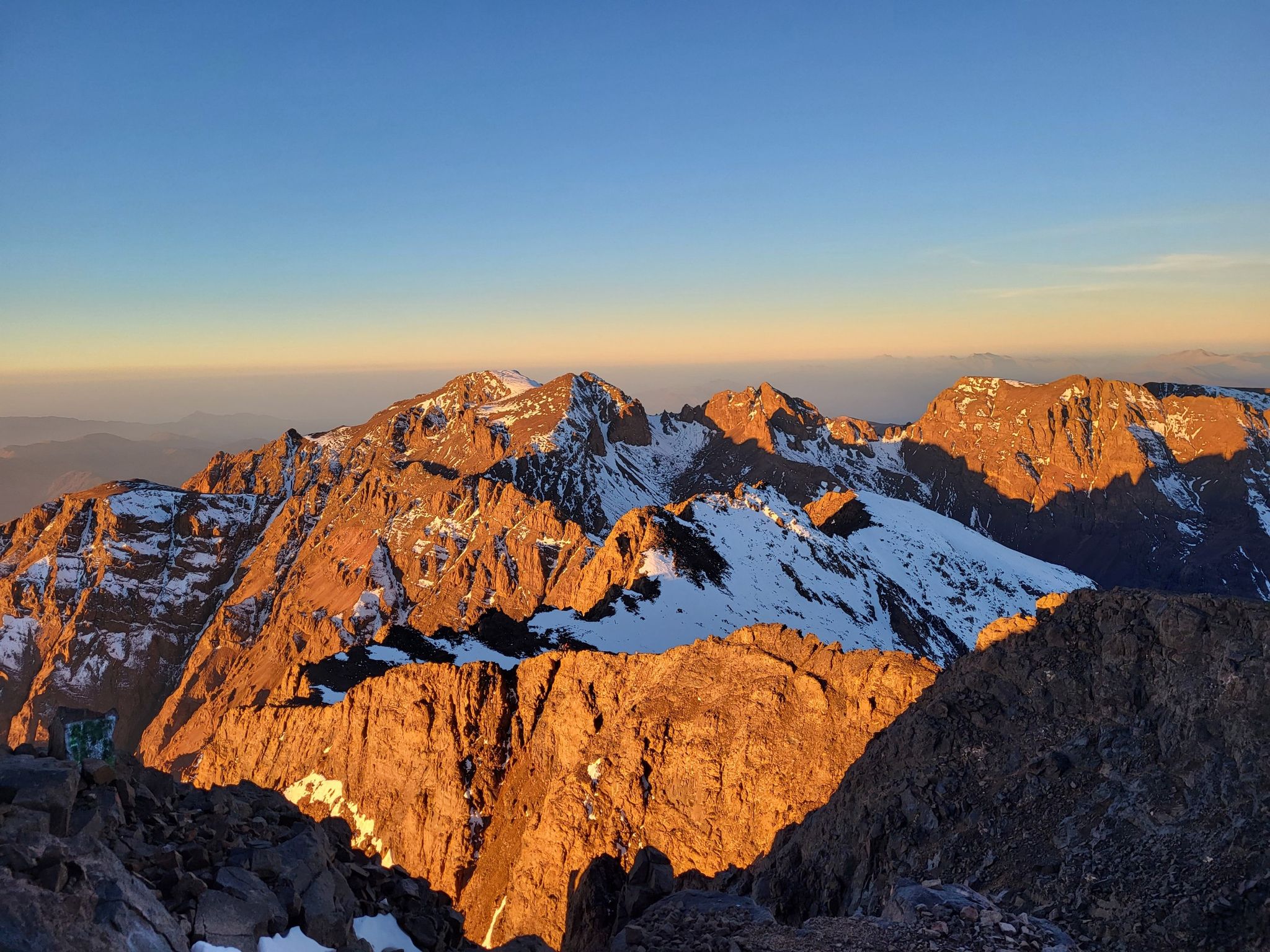
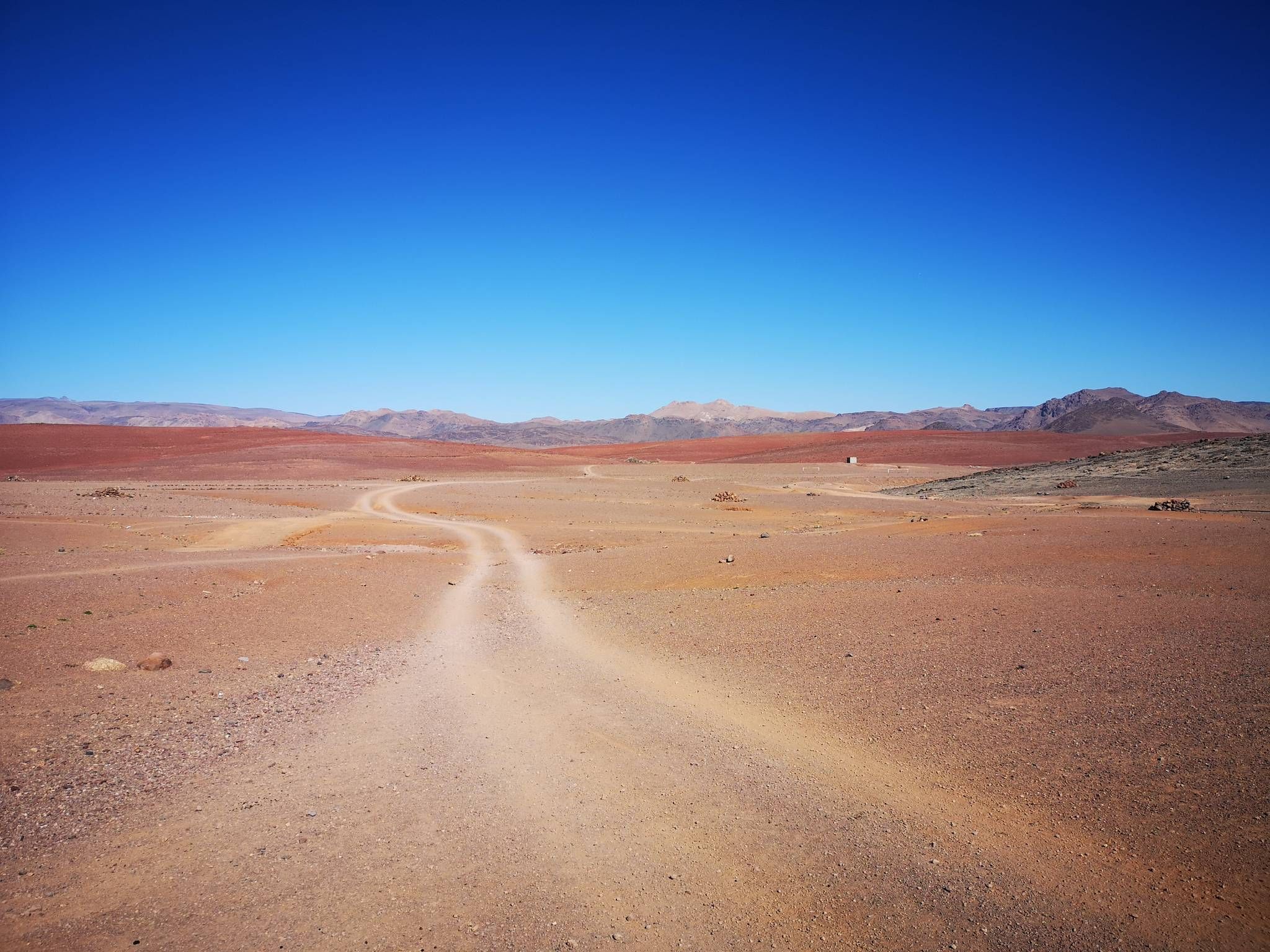
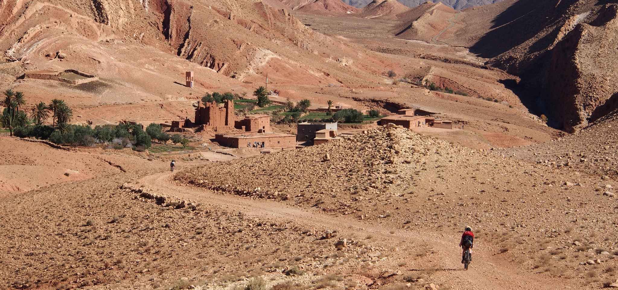
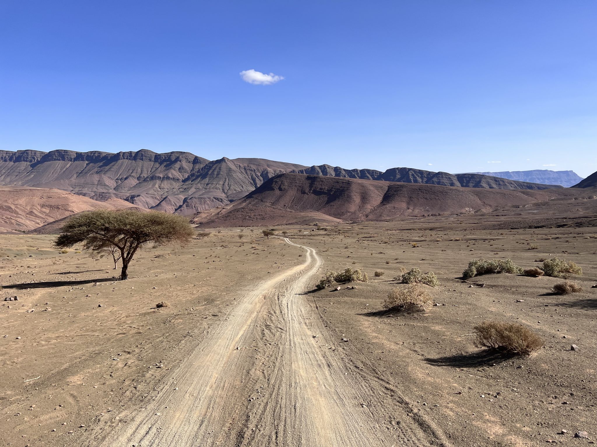
하이 아틀라스 범위의 다른 모험


커뮤니티 팁

Warning: more climbing is required afterwards. Check out the highlights.
0
0

Attention! To complete this route (Monkey Fingers Canyon - End of the Dades Gorge Loop from Ait Ouglif), you must be able to climb! There are some sections that are not easy to navigate. Since we somewhat recklessly started this route in the late afternoon, we found ourselves in a very challenging section as dusk fell, where a local (rather spontaneous) guide found us and helped us. Further information can be found in Svenja's comment.
0
0
Attention! To complete this route (Monkey Fingers Canyon - End of the Dades Gorge Loop from Ait Ouglif), you must be able to climb! There are some sections that are not easy to navigate. Since we somewhat recklessly started this route in the late afternoon, we found ourselves in a very challenging section as dusk fell, where a local (rather spontaneous) guide found us and helped us. Further information can be found in Svenja's comment.
0
0
Attention! To complete this route (Monkey Fingers Canyon - End of the Dades Gorge Loop from Ait Ouglif), you must be able to climb! There are some sections that are not easy to navigate. Since we somewhat recklessly started this route in the late afternoon, we found ourselves in a very challenging section as dusk fell, where a local (rather spontaneous) guide found us and helped us. Further information can be found in Svenja's comment.
0
0
This is the route: Monkey Fingers Canyon - End of the Dades Gorge Loop from Ait Ouglif. Note: The route through the gorge is easy up to waypoint 7. From there on, some climbing is required. Between waypoints 7 and 8, you'll come to an inverted "C" on the route map. There, you'll need to climb over the large rocks and deviate from the route. You'll then rejoin the route. There might also be a path below the rocks. Be careful at waypoint 8; more climbing is definitely required here than at waypoint 7. There's a tree and then a large rock in the crevice. You need to climb up this rock, then turn right into the gorge. There you'll find an easy path up the rocks and can then follow a very pleasant hiking trail. If a local guide picks you up at waypoint 8, use the route described above. You'll rejoin the route.
0
0
This is the route: Monkey Fingers Canyon - End of the Dades Gorge Loop from Ait Ouglif. Note: The route through the gorge is easy up to waypoint 7. From there on, some climbing is required. Between waypoints 7 and 8, you'll come to an inverted "C" on the route map. There, you'll need to climb over the large rocks and deviate from the route. You'll then rejoin the route. There might also be a path below the rocks. Be careful at waypoint 8; more climbing is definitely required here than at waypoint 7. There's a tree and then a large rock in the crevice. You need to climb up this rock, then turn right into the gorge. There you'll find an easy path up the rocks and can then follow a very pleasant hiking trail. If a local guide picks you up at waypoint 8, use the route described above. You'll rejoin the route.
0
0
This is the route: Monkey Fingers Canyon - End of the Dades Gorge Loop from Ait Ouglif. Note: The route through the gorge is easy up to waypoint 7. From there on, some climbing is required. Between waypoints 7 and 8, you'll come to an inverted "C" on the route map. There, you'll need to climb over the large rocks and deviate from the route. You'll then rejoin the route. There might also be a path below the rocks. Be careful at waypoint 8; more climbing is definitely required here than at waypoint 7. There's a tree and then a large rock in the crevice. You need to climb up this rock, then turn right into the gorge. There you'll find an easy path up the rocks and can then follow a very pleasant hiking trail. If a local guide picks you up at waypoint 8, use the route described above. You'll rejoin the route.
0
0
This is the route: Monkey Fingers Canyon - End of the Dades Gorge Loop from Ait Ouglif. Note: The route through the gorge is easy up to waypoint 7. From there on, some climbing is required. Between waypoints 7 and 8, you'll come to an inverted "C" on the route map. There, you'll need to climb over the large rocks and deviate from the route. You'll then rejoin the route. There might also be a path below the rocks. Be careful at waypoint 8; more climbing is definitely required here than at waypoint 7. There's a tree and then a large rock in the crevice. You need to climb up this rock, then turn right into the gorge. There you'll find an easy path up the rocks and can then follow a very pleasant hiking trail. If a local guide picks you up at waypoint 8, use the route described above. You'll rejoin the route.
0
0
자주 묻는 질문
하이 아틀라스 산맥에는 가족 친화적인 하이킹 트레일이 몇 개나 있나요?
하이 아틀라스 산맥은 가족 친화적인 하이킹 트레일을 다양하게 제공합니다. 70개 이상의 루트가 있으며, 그중 27개는 쉬움, 35개는 보통으로 평가되어 다양한 가족의 숙련도 수준에 맞는 것이 있습니다.
하이 아틀라스 산맥에서 가족 하이킹을 하기에 가장 좋은 시기는 언제인가요?
하이 아틀라스 산맥은 연중 아름답지만, 가족 하이킹을 위해서는 봄(4월~5월)과 가을(9월~10월)이 일반적으로 이상적입니다. 날씨가 온화하고 풍경이 생동감 넘칩니다. 여름은 특히 저지대에서 더울 수 있지만, 고지대는 더 시원한 기온을 제공합니다. 겨울에는 봉우리에 눈이 내려 일부 트레일이 더 어려워집니다.
폭포가 있는 가족 친화적인 하이킹 코스가 있나요?
네, 하이 아틀라스 산맥에는 가족 친화적인 루트로 접근할 수 있는 아름다운 폭포들이 있습니다. 좋은 선택지는 우주드 폭포에서 시작하는 우주드 폭포 전망 루프로, 멋진 폭포를 감상할 수 있습니다. 또 다른 멋진 선택지는 이믈릴에서 시작하는 이믈릴 폭포 – 베르베르 마을 루프로, 상쾌한 폭포와 문화적 통찰력을 즐길 수 있습니다.
하이 아틀라스에서 가족에게 적합한 순환 코스를 찾을 수 있나요?
물론입니다. 하이 아틀라스의 많은 가족 친화적인 트레일은 순환 코스로 설계되어 시작점과 끝점이 같습니다. 예를 들어, 아스니 마을에서 시작하는 제벨 투브칼 전망 – 이믈릴 마을 루프는 북아프리카 최고봉의 전망을 감상할 수 있는 경치 좋은 순환 하이킹을 제공합니다.
하이 아틀라스 산맥에서 가족 하이킹 시 어떤 풍경을 볼 수 있나요?
하이 아틀라스의 가족 하이킹은 매우 다양한 풍경을 제공합니다. 계단식 밭과 과수원이 있는 푸른 계곡을 가로지르고, 전통적인 베르베르 마을을 지나며, 극적인 협곡과 우뚝 솟은 봉우리의 전망을 즐길 수 있습니다. 이 지역의 독특한 생태계는 푸른 북쪽 경사면부터 건조한 반사막 지대까지 모든 것을 경험할 수 있음을 의미합니다.
어린 자녀나 초보자에게 적합한 쉬운 트레일이 있나요?
네, 하이 아틀라스에는 어린 자녀가 있거나 하이킹이 처음인 가족에게 완벽한 여러 쉬운 트레일이 있습니다. 이러한 루트는 일반적으로 완만한 경사와 짧은 거리를 특징으로 하여 누구나 편안한 속도로 멋진 풍경을 즐길 수 있습니다. 가이드에서 '쉬움'으로 표시된 트레일을 찾아보세요. 이들은 전체 루트의 상당 부분을 차지합니다.
대중교통이나 자동차로 트레일 시작점까지 얼마나 쉽게 갈 수 있으며, 주차 공간이 있나요?
이믈릴 마을과 같은 허브 주변의 인기 있는 트레일 시작점은 대부분 쉽게 접근할 수 있습니다. 이믈릴은 마라케시에서 차로 가까운 거리에 있으며, 지역 교통편도 이용 가능합니다. 주차 공간은 일반적으로 이러한 마을 안이나 근처에서 찾을 수 있지만, 성수기에는 제한적일 수 있습니다. 운전하는 경우 특정 트레일 시작점 정보를 확인하는 것이 좋습니다.
가족 친화적인 루트를 따라 어떤 흥미로운 볼거리나 랜드마크를 찾을 수 있나요?
자연의 아름다움 외에도 가족 친화적인 루트는 종종 흥미로운 랜드마크를 지나거나 근처에 있습니다. 전통적인 베르베르 마을, 고대 관개 시스템, 멋진 지질학적 지형을 만날 수 있습니다. 하이킹을 하면서 투브칼 난민 루이 넬트너(CAF) 또는 안미터 마을을 통과하는 싱글트랙과 같은 근처 명소를 탐험하며 현지 생활과 문화를 엿볼 수도 있습니다.
하이 아틀라스에서 가족 하이킹을 위해 무엇을 입고 가져가야 하나요?
산악 날씨는 빠르게 변할 수 있으므로 여러 겹의 옷을 입는 것이 좋습니다. 튼튼한 하이킹 신발, 햇볕 차단 용품(모자, 선크림), 충분한 물과 간식이 필수입니다. 계절에 따라 가벼운 비옷이나 따뜻한 옷이 필요할 수 있습니다. 출발하기 전에 항상 일기 예보를 확인하세요.
다른 하이커들은 하이 아틀라스 산맥의 가족 친화적인 트레일에 대해 무엇을 가장 즐기나요?
하이 아틀라스 산맥은 코무트 커뮤니티에서 평균 4.5점의 높은 평가를 받고 있습니다. 리뷰어들은 종종 숨 막히는 산악 전망, 베르베르 마을을 지나는 독특한 문화 체험, 접근 가능한 트레일과 결합된 모험감을 칭찬합니다. 푸른 계곡부터 극적인 봉우리까지 다양한 풍경이 주요 매력으로 자주 강조됩니다.
이 가족 친화적인 트레일에서 전통적인 베르베르 마을을 탐험할 수 있나요?
네, 하이 아틀라스 하이킹은 문화 체험을 위한 훌륭한 기회를 제공합니다. 많은 가족 친화적인 트레일은 전통적인 베르베르 마을을 통과하거나 지나가며, 독특한 건축 양식, 농업 관행 및 일상생활을 목격할 수 있습니다. 이믈릴에서 시작하는 이믈릴 마을 – 제벨 투브칼 전망 루프는 멋진 풍경 속에서 현지 문화에 대한 통찰력을 제공하는 훌륭한 예입니다.


더 살펴보기
다른 지역의 최고의 하이킹를 살펴보세요.
