로비고 주변 최고의 반려견 동반 하이킹 & 워킹 코스
4.3
(1054)
11,406
등산객
19
하이킹
반려견 동반 하이킹 코스는 로비고의 다양한 풍경으로 안내하며, 주로 포 델타 공원과 콜리 에우가네이 지역의 특징을 보여줍니다. 포 델타는 광활한 습지, 염수 석호, 소나무 숲, 해안 사구로 이루어져 있어 자연 중심의 산책에 적합한 평탄한 지형을 제공합니다. 서쪽의 콜리 에우가네이는 81개의 화산 봉우리를 가로지르는 트레일 네트워크를 제공하며, 다양한 고도와 탁 트인 전망을 선사합니다. 이 지역은 쉬운 평지 코스와 언덕을 통과하는 약간 더 구불구불한 코스를 혼합하여 제공합니다.
로비고 최고의 반려견 동반 하이킹 코스
- 가장 인기 있는 반려견 동반 하이킹 코스는 바스티온 산…
마지막 업데이트: 10월 1, 2026
4.8
(6)
198
등산객
10.8km
02:42
0m
0m
보통 하이킹. 좋은 체력 필요. 실력과 관계없이 누구나 쉽게 갈 수 있는 길.
4.0
(2)
53
등산객
4.33km
01:06
10m
10m
초급용 하이킹. 모든 체력 수준에 적합. 실력과 관계없이 누구나 쉽게 갈 수 있는 길.

4.5
(4)
90
등산객
13.9km
03:31
30m
30m
보통 하이킹. 좋은 체력 필요. 실력과 관계없이 누구나 쉽게 갈 수 있는 길.
4.3
(11)
106
등산객
6.19km
01:34
10m
10m
초급용 하이킹. 모든 체력 수준에 적합. 실력과 관계없이 누구나 쉽게 갈 수 있는 길.
5.0
(3)
42
등산객
4.96km
01:16
10m
10m
초급용 하이킹. 모든 체력 수준에 적합. 실력과 관계없이 누구나 쉽게 갈 수 있는 길.
더 다양한 경로와 다른 탐험가들의 추천을 살펴보세요.
이미 komoot 계정이 있나요?
투어 추천은 다른 사람들이 komoot에서 완료한 수천 개의 활동을 바탕으로 구성되어 있습니다.
오늘 무료 계정으로 시작하세요
다음 모험이 기다리고 있어요.
로비고 주변 인기 장소

포 델타 반려견 동반 하이킹

파르코 레지날레 베네토 델 델타 델 포 반려견 동반 하이킹

파르코 레지날레 델 델타 델 포 반려견 동반 하이킹
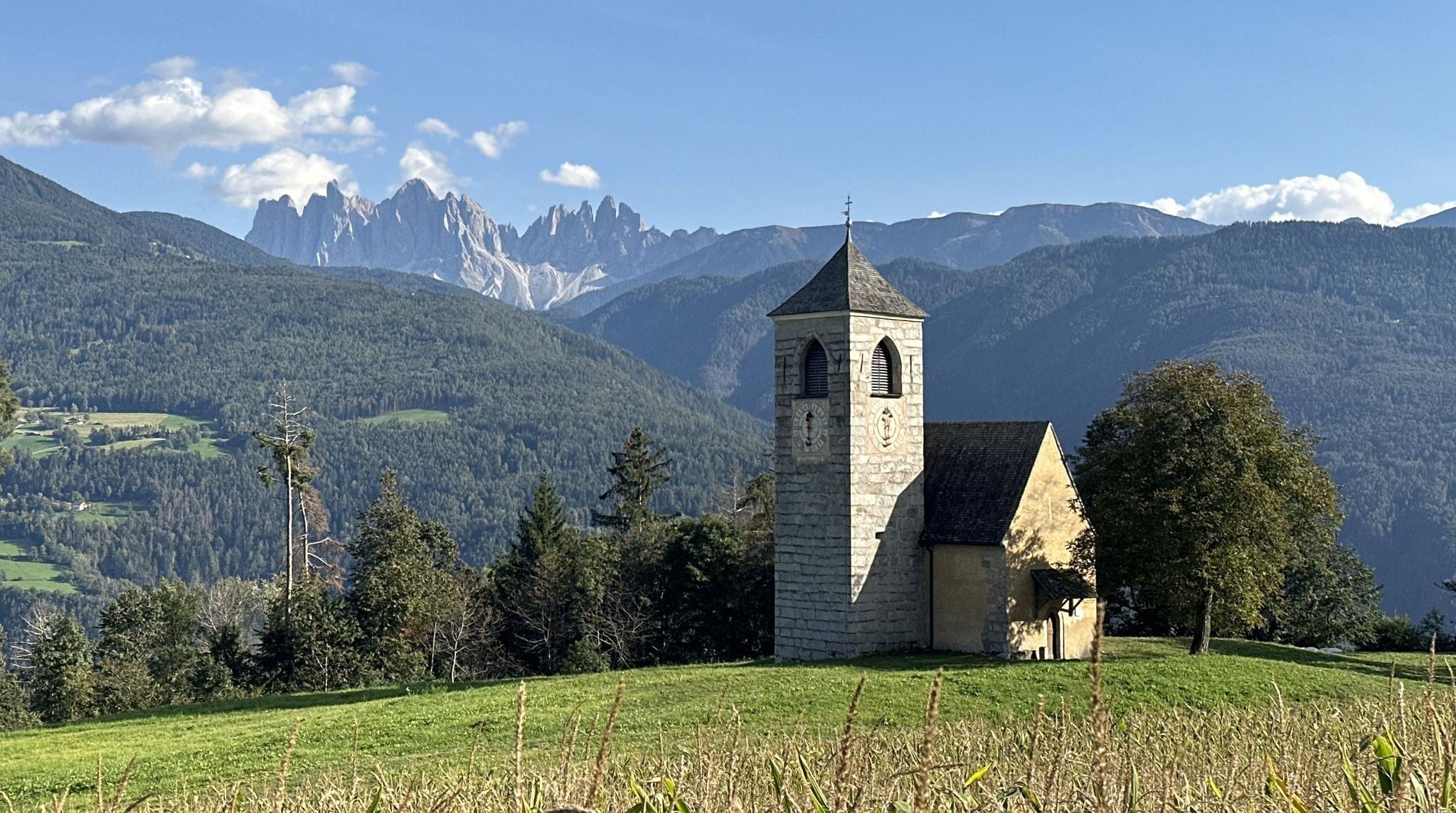
역사, 자연 및 정신성 - 베아 로메아 제르마니카에서의 모험
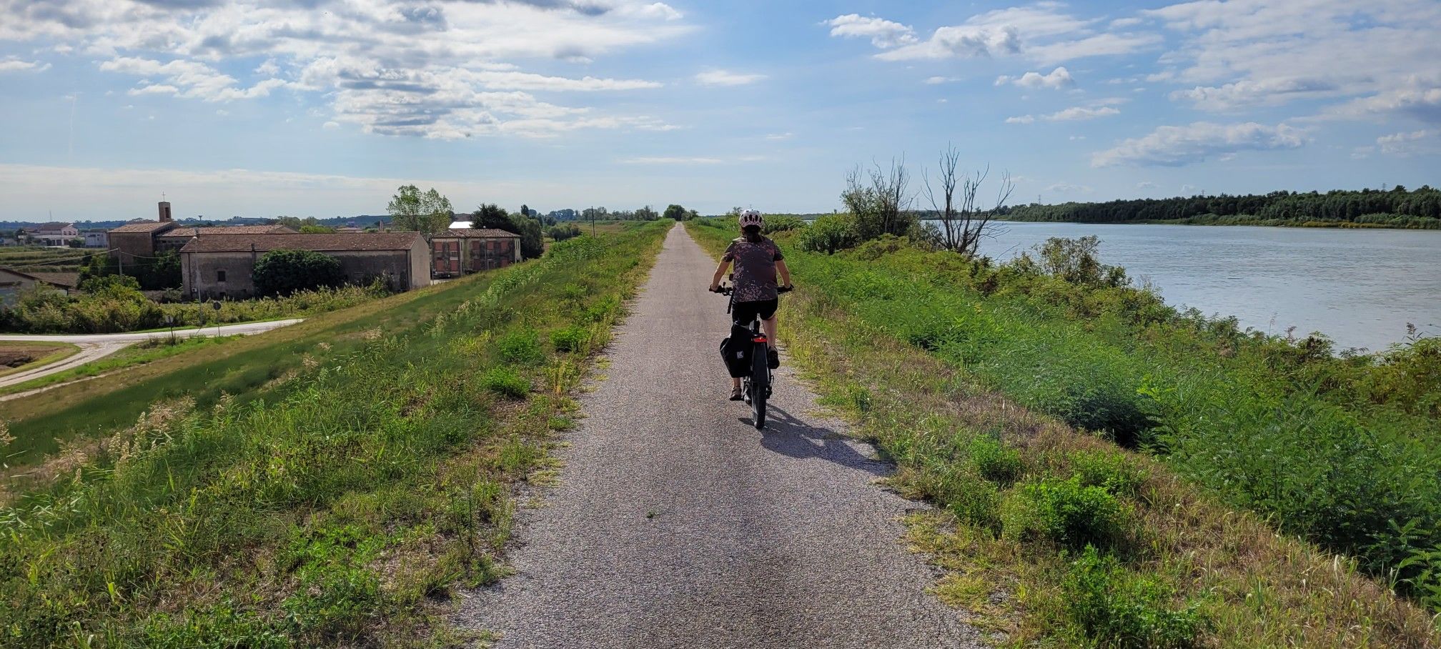
이탈리아 최장의 강 포 강변을 따라 - 치클로비에 델 포
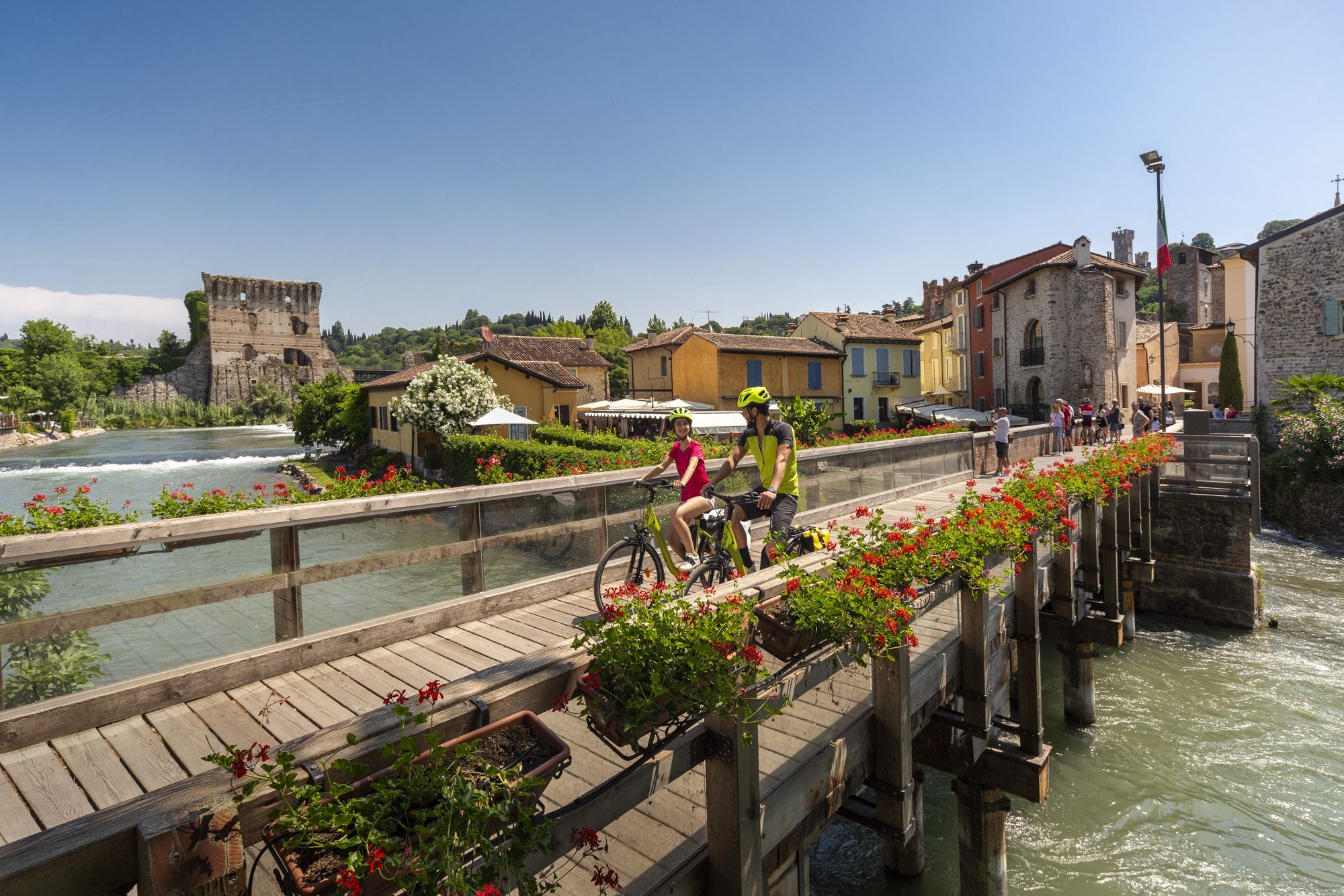
Explore Veneto at a slow pace – day trips by bike
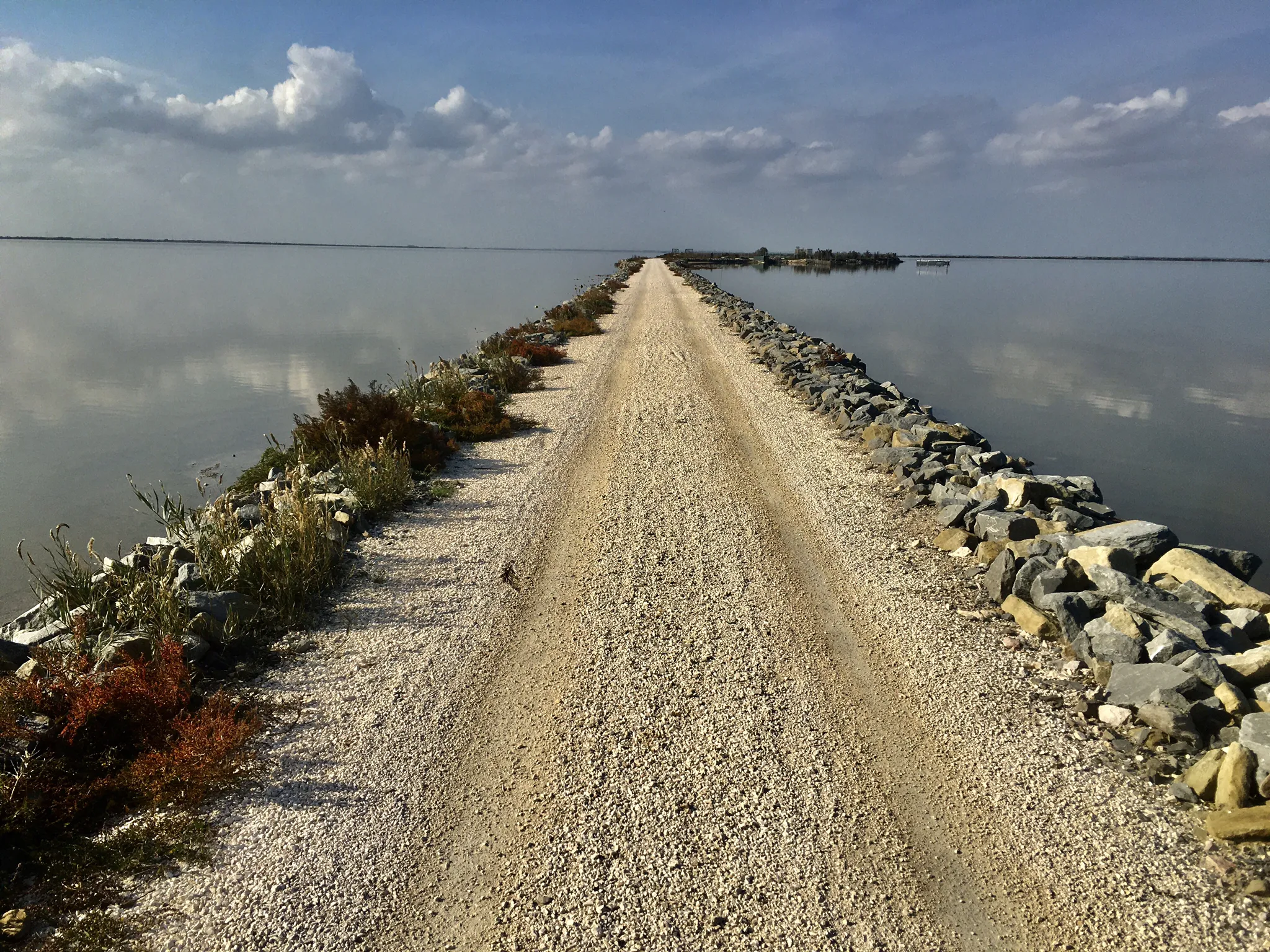
바다, 라구나 및 자연 - Po 델타를 발견하세요
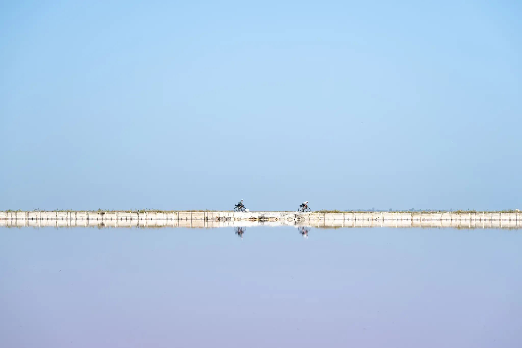
트리에스테에서 산타 마리아 디 레우카까지 - 아드리아 자전거 경로
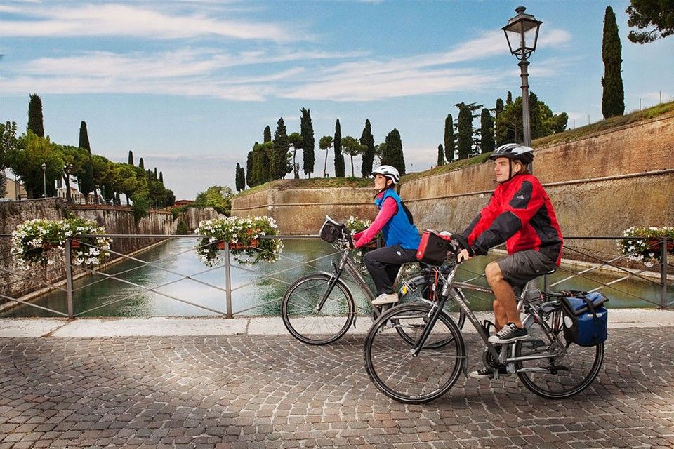
Between Lake Garda and the Adriatic Sea – cycle Tours in Italy’s Veneto
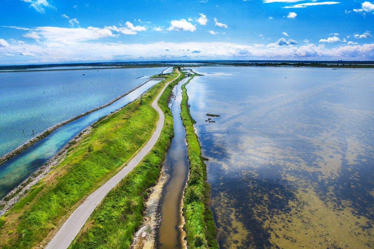
Delta del Po in e-bike – itinerari tra fiume, mare e laguna con DINAclub
로비고의 다른 모험


커뮤니티 팁


It opens in the Rossetti walls at the end of Corso Ercole I d'Este. Born as a watchtower, it was the ancient access to the ducal hunting estate of Barco, located where the "G. Bassani" Urban Park is now located. Rampari di Belfiore, 1, 44121 Ferrara FE
1
0
Built between 1493 and 1497, the tower guarded the Porta of the same name located at the eastern end of the long decumanus of the Addizione Erculea. In 1518 Alfonso I d’Este decided to cover it with a conical roof grafted onto a massive pillar, while the battlements were filled in in the first half of the nineteenth century. After the French occupation of 1796, the Porta was named Porta Mare and the entire complex underwent various functional modifications. Since 1999, the Torrione di San Giovanni has hosted the Jazz Club Ferrara. Rampari di Belfiore, 167, 44121 Ferrara FE www.jazzclubferrara.com +39 331 432 3840
0
0
With its typical arrow shape and without truncheons on its sides, the bastion was built when Alfonso I d’Este decided to strengthen the defensive apparatus of the southeastern sector of the city. A short distance away flows the eighteenth-century San Tommaso doccile, built in 1524 to drain the city sewers.
1
0
Ancient Francolino Tower, Punta della Montagnola takes its name from an artificial hill prepared since the 16th century with the function of a high and privileged point. The work is the result of 17th century modernization works. Interesting is the decorative element of the "curb", placed at the top of the slope, which also had the function of hindering the climb of the attackers.
0
0
Built between 1493 and 1497, the tower guarded the Porta of the same name located at the eastern end of the long decumanus of the Addizione Erculea. In 1518 Alfonso I d’Este decided to cover it with a conical roof grafted onto a massive pillar, while the battlements were filled in in the first half of the nineteenth century. After the French occupation of 1796, the Porta was named Porta Mare and the entire complex underwent various functional modifications. Since 1999, the Torrione di San Giovanni has hosted the Jazz Club Ferrara.
0
0
자주 묻는 질문
Rovigo 지역에는 반려견과 함께 하이킹할 수 있는 트레일이 몇 개나 있나요?
Rovigo 지역에는 반려견과 함께 하이킹할 수 있는 10개 이상의 트레일이 있으며, 당신과 당신의 네 발 달린 친구에게 다양한 경험을 제공합니다. 쉬운 산책부터 좀 더 적당한 난이도의 모험까지 다양한 옵션을 찾을 수 있습니다.
Rovigo 근처 반려견 친화적 하이킹에서 어떤 종류의 지형을 예상할 수 있나요?
지형은 상당히 다양합니다. 포 델타 지역 공원에서는 습지, 고대 소나무 숲, 강둑을 따라 이어지는 대부분 평탄한 길을 예상할 수 있으며, 편안한 산책에 완벽합니다. 콜리 에우가네이 쪽으로 가면 더 다양한 고도와 탁 트인 전망을 갖춘 화산 언덕을 만나게 될 것입니다.
모든 체력 수준에 적합한 쉬운 반려견 친화적 트레일이 있나요?
네, Rovigo에는 여러 쉬운 반려견 친화적 트레일이 있습니다. 예를 들어, 페라라 비아 보스케토에서 출발하는 산 피에트로 게이트 – 산 피에트로 바스티온 루프는 완만한 옵션입니다. 포 델타 공원 내의 많은 코스도 평탄하고 접근하기 쉬워 반려견과 함께 여유로운 산책을 즐기기에 이상적입니다.
이 지역의 적당한 난이도의 반려견 친화적 하이킹 옵션은 무엇인가요?
좀 더 적당한 도전을 원하시면, 더 긴 거리를 제공하는 키오자에서 출발하는 유니온 아일랜드 브리지 – 레 테그뉴 비치 루프와 같은 트레일을 고려해 보세요. 콜리 에우가네이 또한 그림 같은 풍경을 가로지르는 완만한 오르막과 내리막이 있는 수많은 적당한 난이도의 트레일을 제공합니다.
이 트레일에서 반려견과 함께 어떤 자연 경관을 탐험할 수 있나요?
다양한 자연 경관을 탐험할 수 있습니다. 포 델타 지역 공원은 독특한 습지, 해안 사구, 그리고 죽은 나무의 석호가 있는 곳으로 하이라이트입니다. 홍학과 다른 조류를 볼 수도 있습니다. 콜리 에우가네이는 화산 지형과 울창한 녹지를 제공합니다. 독특한 자연 경험을 위해 베네토 해안 식물원을 놓치지 마세요.
Rovigo 근처에 반려견과 함께 갈 수 있는 순환형 코스가 있나요?
물론입니다! 많은 트레일이 루프 형태로 설계되어 반려견과 함께 다양한 산책을 즐기기에 완벽합니다. 예로는 페라라에서 출발하는 발루아르도 델라모레 – 페라라 성벽 루프와 무라 디 페라라에서 출발하는 산 토마소 요새 – 산타 마리아 요새 루프가 있습니다. 이러한 순환 코스를 통해 같은 지점에서 시작하고 끝낼 수 있으며, 왔던 길을 되돌아갈 필요가 없습니다.
Rovigo에서 반려견과 하이킹하기 가장 좋은 시기는 언제인가요?
봄과 가을이 일반적으로 가장 좋은 계절입니다. 봄에는 야생화가 피고 기온이 쾌적합니다. 가을에는 특히 콜리 에우가네이에서 활기찬 단풍을 볼 수 있습니다. 여름은 더울 수 있지만, 포 델타의 소나무 숲 그늘진 지역에서는 이른 아침이나 늦은 오후가 즐겁습니다. 더운 달에는 햇볕 노출과 포 델타의 모기를 조심하세요.
다른 하이커들은 Rovigo의 반려견 친화적 트레일에 대해 가장 무엇을 즐기나요?
이 지역은 komoot 커뮤니티에서 평균 4.37점의 높은 평가를 받고 있습니다. 리뷰어들은 종종 포 델타의 자연 풍경의 평온함, 잘 관리된 길, 그리고 군중에서 벗어나 반려견과 함께 자연을 즐길 수 있는 기회를 칭찬합니다. 습지부터 화산 언덕까지 다양한 풍경 또한 자주 언급됩니다.
포 델타와 같은 자연 공원에서 반려견에 대한 특정 규칙이 있나요?
포 델타 공원과 같은 보호 구역에서 반려견과 하이킹할 때는 현지 야생 동물, 특히 땅에 둥지를 짓는 새들을 보호하기 위해 일반적으로 목줄을 착용해야 합니다. 항상 반려견의 배설물을 치우고, 접근 또는 반려동물에 대한 특정 규정에 관한 게시된 표지판을 존중하십시오. 포 델타 공원에 대한 자세한 정보는 podeltatourism.it을 방문하십시오.
반려견 친화적 코스 근처에 역사적 랜드마크나 성에 접근할 수 있나요?
네, 반려견 친화적 하이킹을 역사적 유적지 방문과 결합할 수 있습니다. 일부 코스 근처에서 토레 모로시니 또는 로비고 성탑과 같은 랜드마크를 찾을 수 있습니다. 모든 역사적 건물에 반려견이 출입할 수 없을 수도 있지만, 주변 부지와 외부 경관은 종종 즐거운 방문을 만들어 줍니다.
반려견 친화적 트레일을 위한 주차 및 대중교통은 어떻습니까?
많은 트레일 시작점, 특히 시골 지역이나 자연 공원에 있는 곳은 전용 주차 시설을 제공합니다. 대중교통의 경우, 옵션은 위치에 따라 다릅니다. 트레일 접근 지점 근처의 일부 더 큰 마을에는 버스나 기차 서비스가 있을 수 있지만, 규칙이 다를 수 있으므로 반려동물에 대한 현지 교통 규정을 확인하는 것이 좋습니다. 경로를 미리 계획하면 가장 편리한 접근 지점을 파악하는 데 도움이 될 것입니다.
로비고에서 가장 인기 있는 명소


찾고 계신 것을 찾지 못하셨나요?
로비고에서 더 많은 하이킹를 확인하고 목적지에서 완벽한 경로를 찾아보세요.
