란다에서 가장 멋진 20개의 산 정상
란다의 산 정상에 오르면 이 지역의 아름다운 모습을 제대로 구경할 수 있어요. 다만, 20
곳이나 되는 산 정상 중에서 어떤 곳을 가야 할 지 고민된다는 게 문제죠. 란다에서 가장 멋진 산 정상을 살펴본 후에 마음에 드는 산 정상을 다음 모험 계획에 추가해보세요.
마지막 업데이트: 10월 9, 2026
알랄린호른 정상
하이라이트 • 정상
번역자 Google •
팁에 의해

위스스 바르혼 정상
하이라이트 • 정상
번역자 Google •
팁에 의해

이런 장소를 발견하려면 지금 가입하세요
최고의 싱글 트랙, 봉우리 및 다양한 흥미로운 야외 장소에 대한 추천을 받아보세요.


오늘 무료 계정으로 시작하세요
다음 모험이 기다리고 있어요.
란다 주변 인기 장소
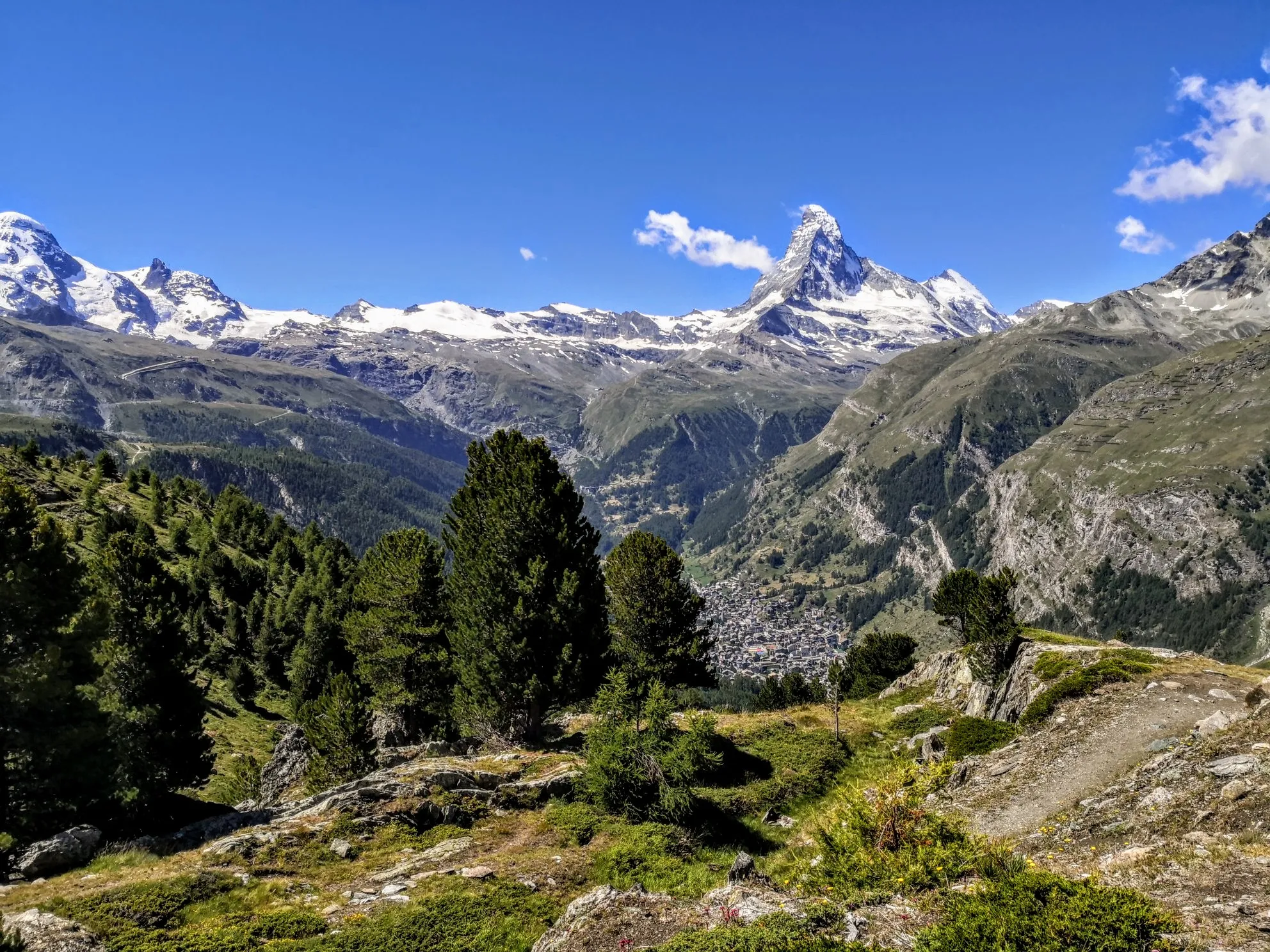
최고의 고산 모험 - 워커의 오트 루트
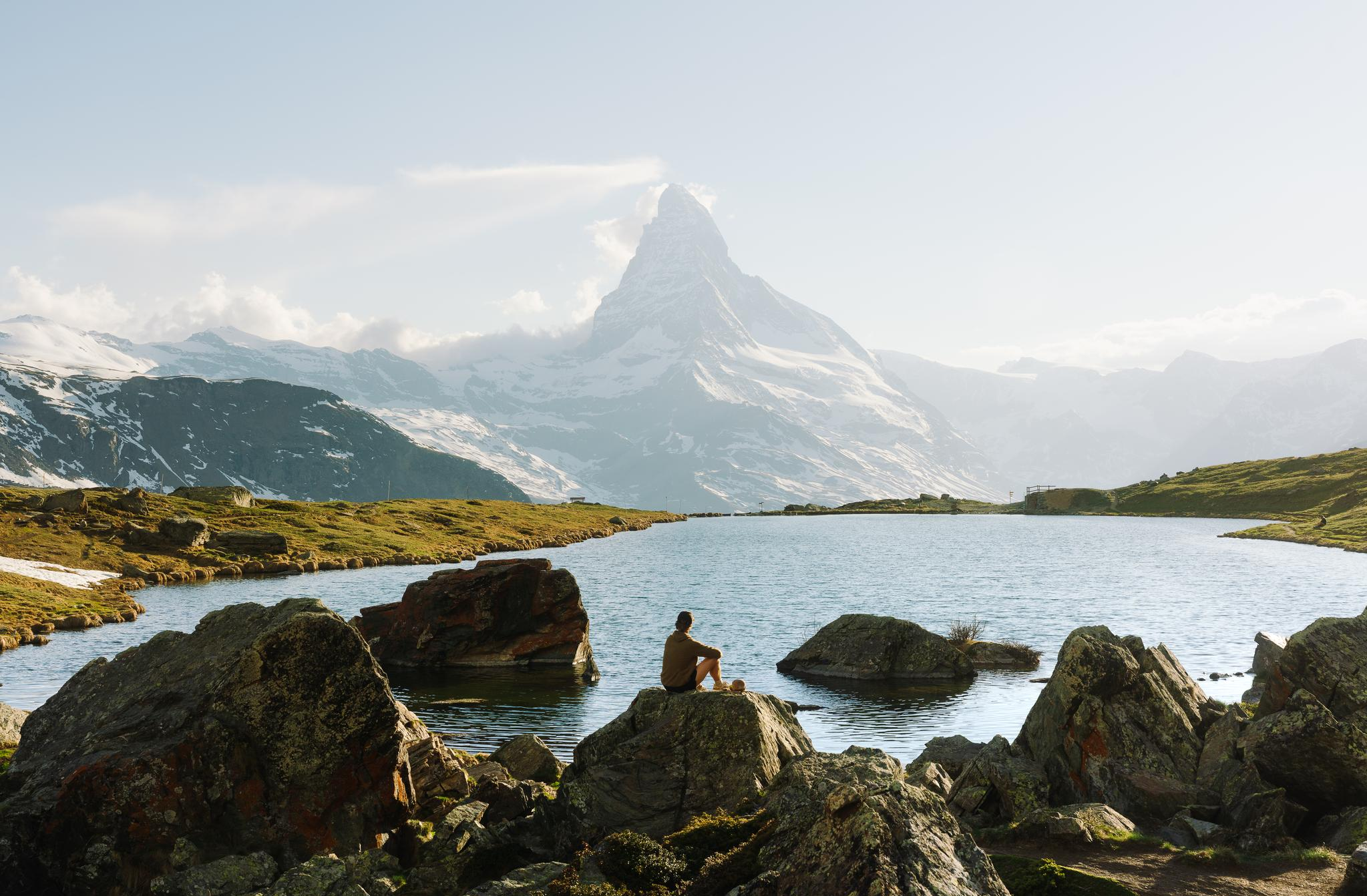
As versatile as a pocket knife: Exploring the Zermatt mountains with Victorinox
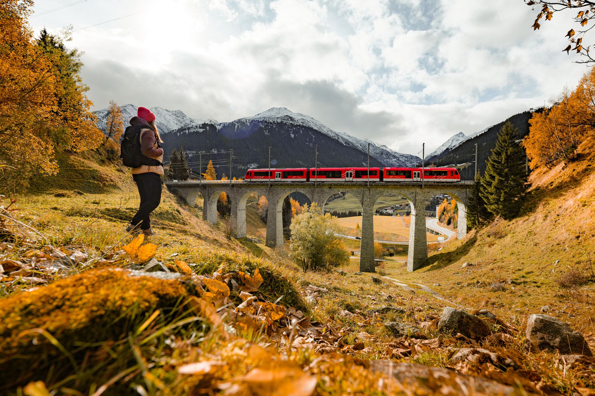
Fantastic hiking through the Alps with the Matterhorn Gotthard Railway
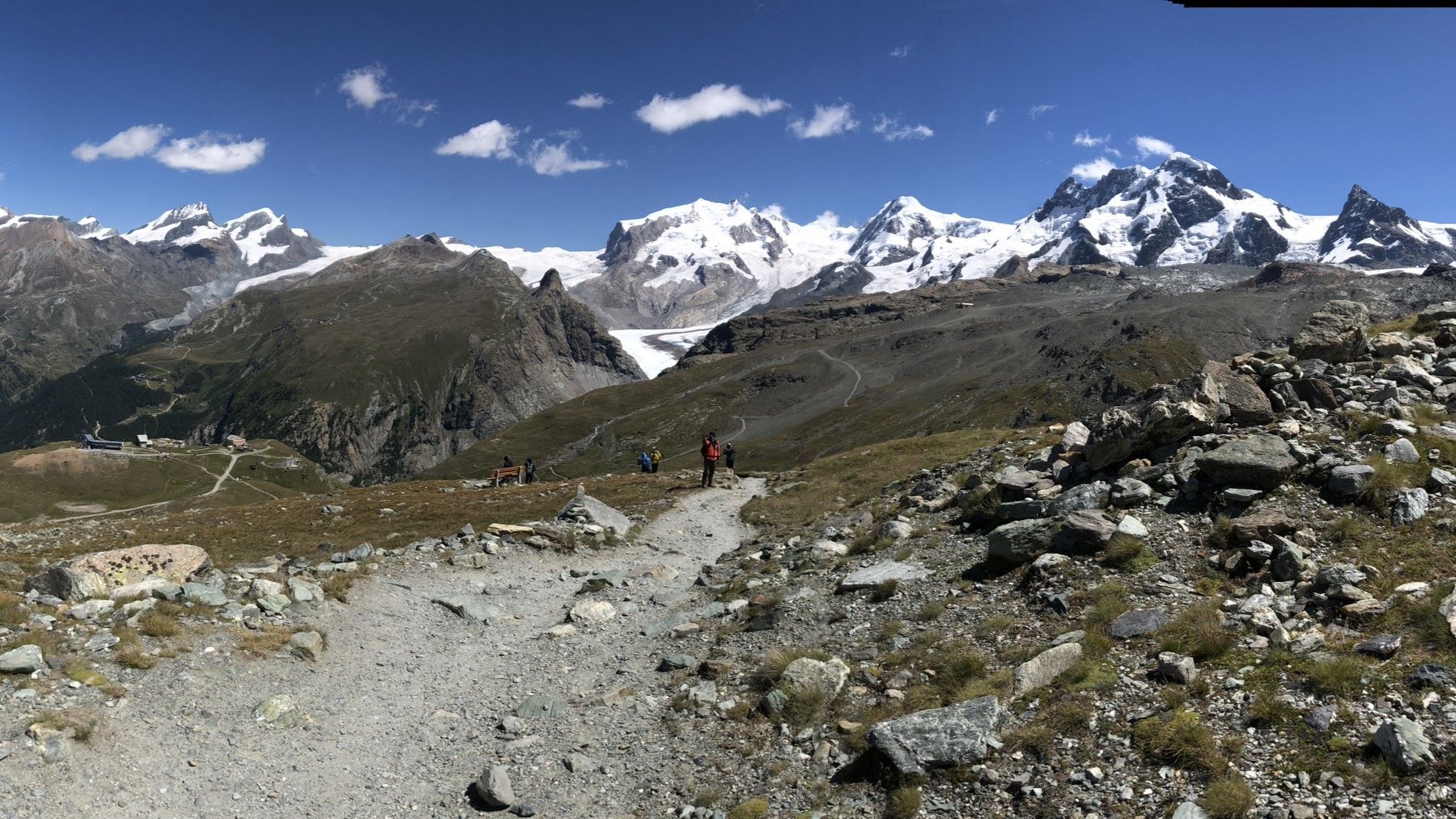
한회이 스타화한지 - 토리로 스타
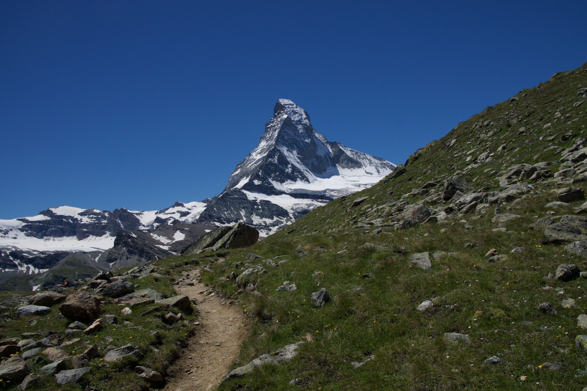
알프스 귀한 바위 위 - Cervino Matterhorn Ultra Race
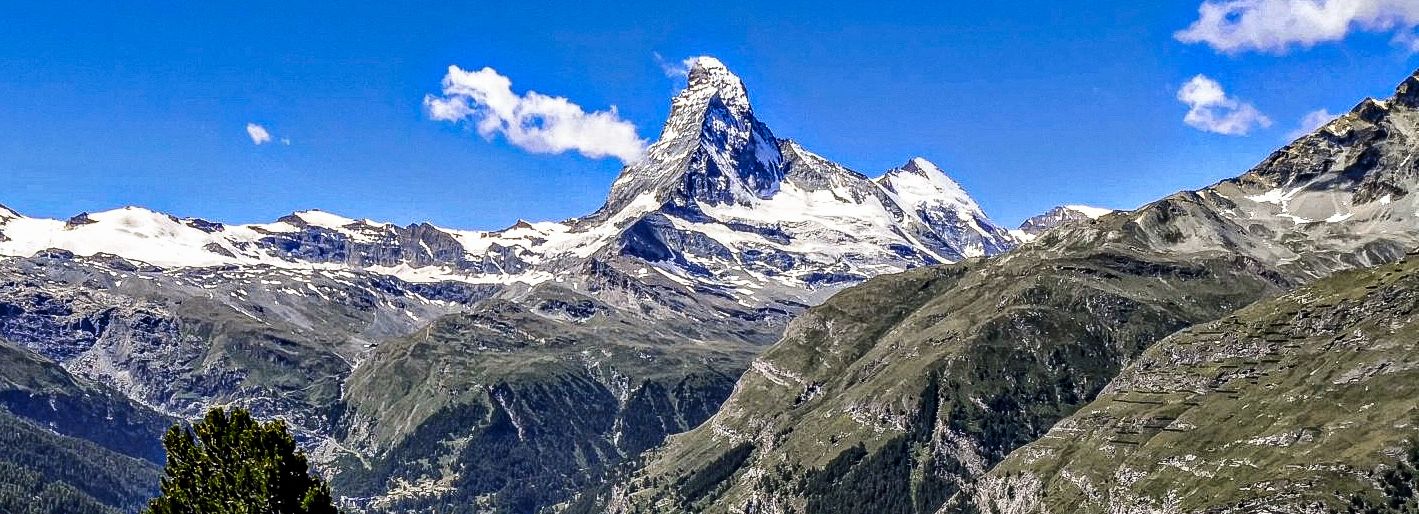
스위스 몬테로자 투어의 4000ers 경기장
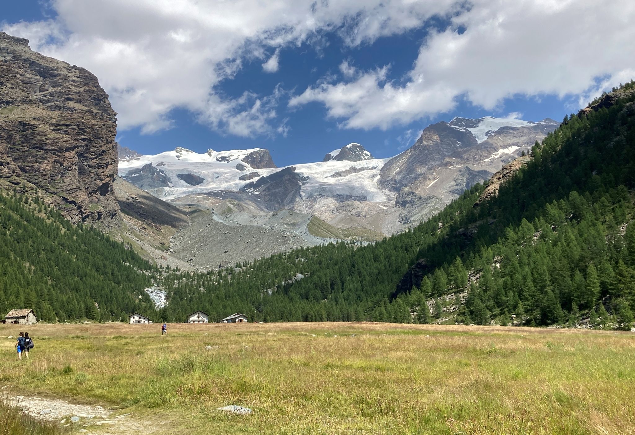
몬테 로자 투어 - 이탈리아와 스위스 사이의 거인들 중에서 트레킹
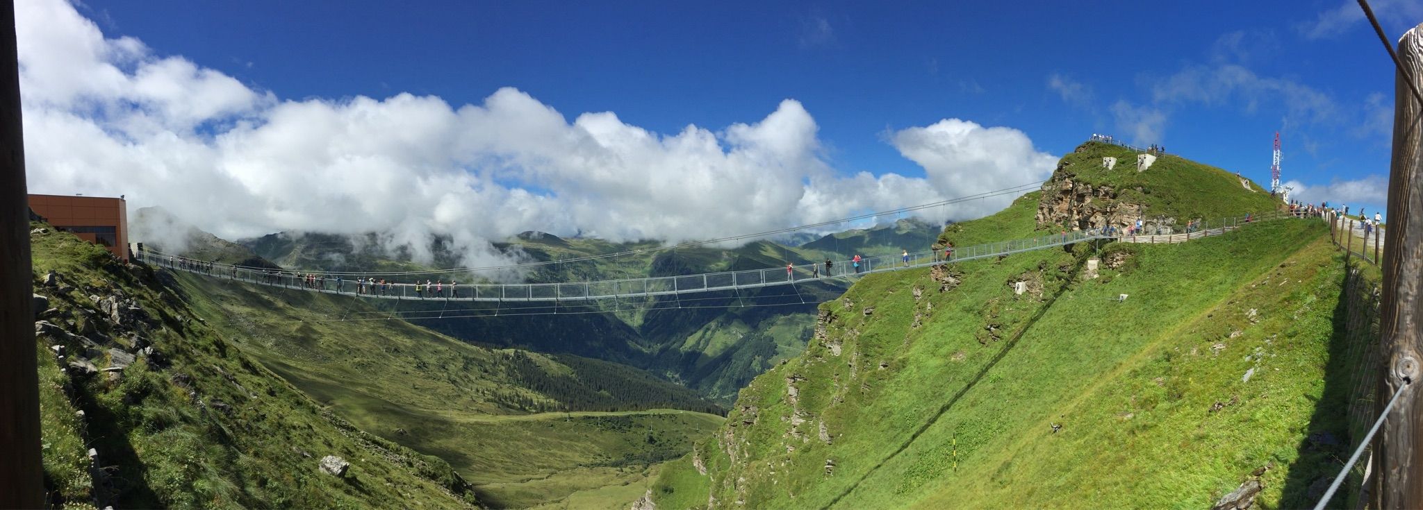
Spectacular suspension bridges
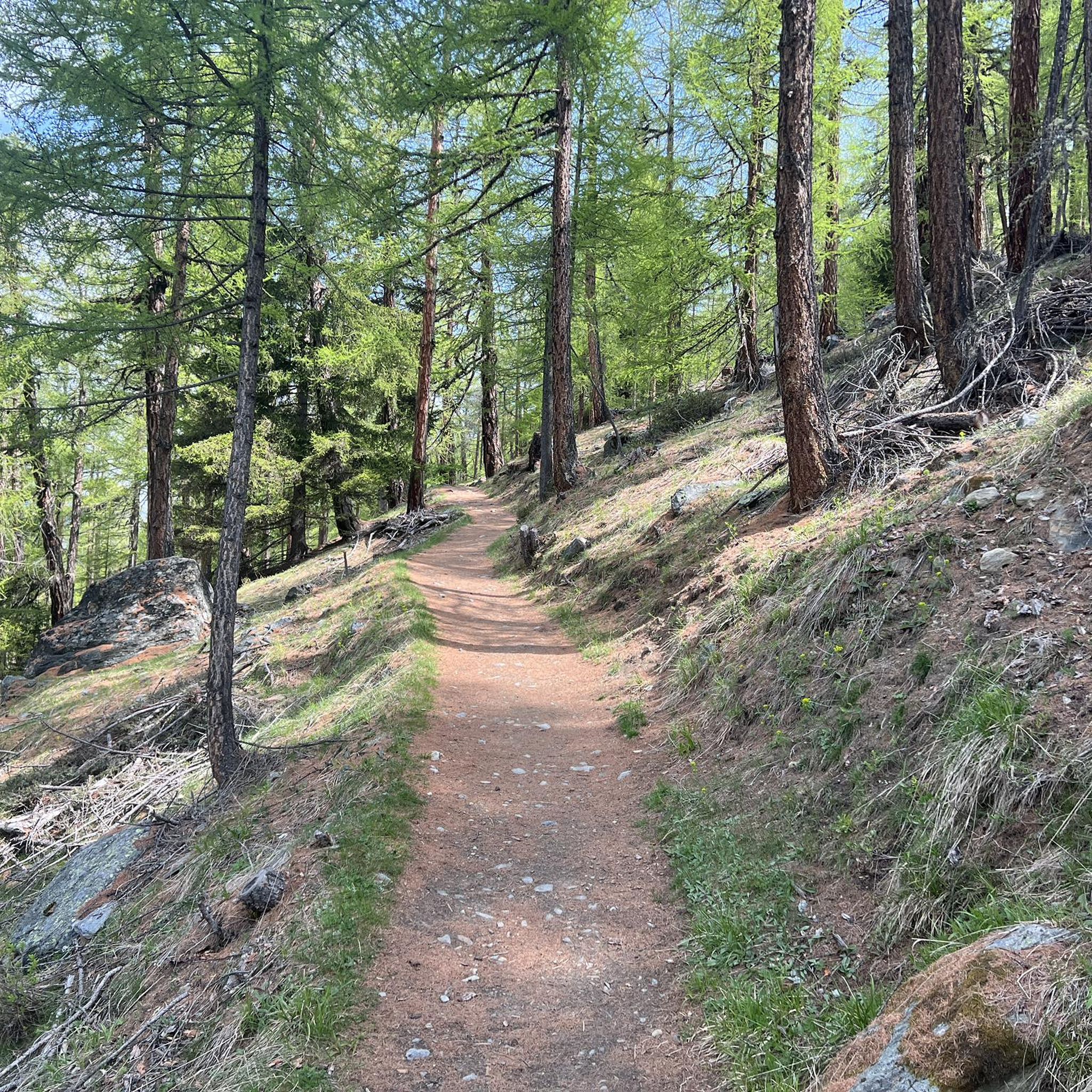
란다 하이킹
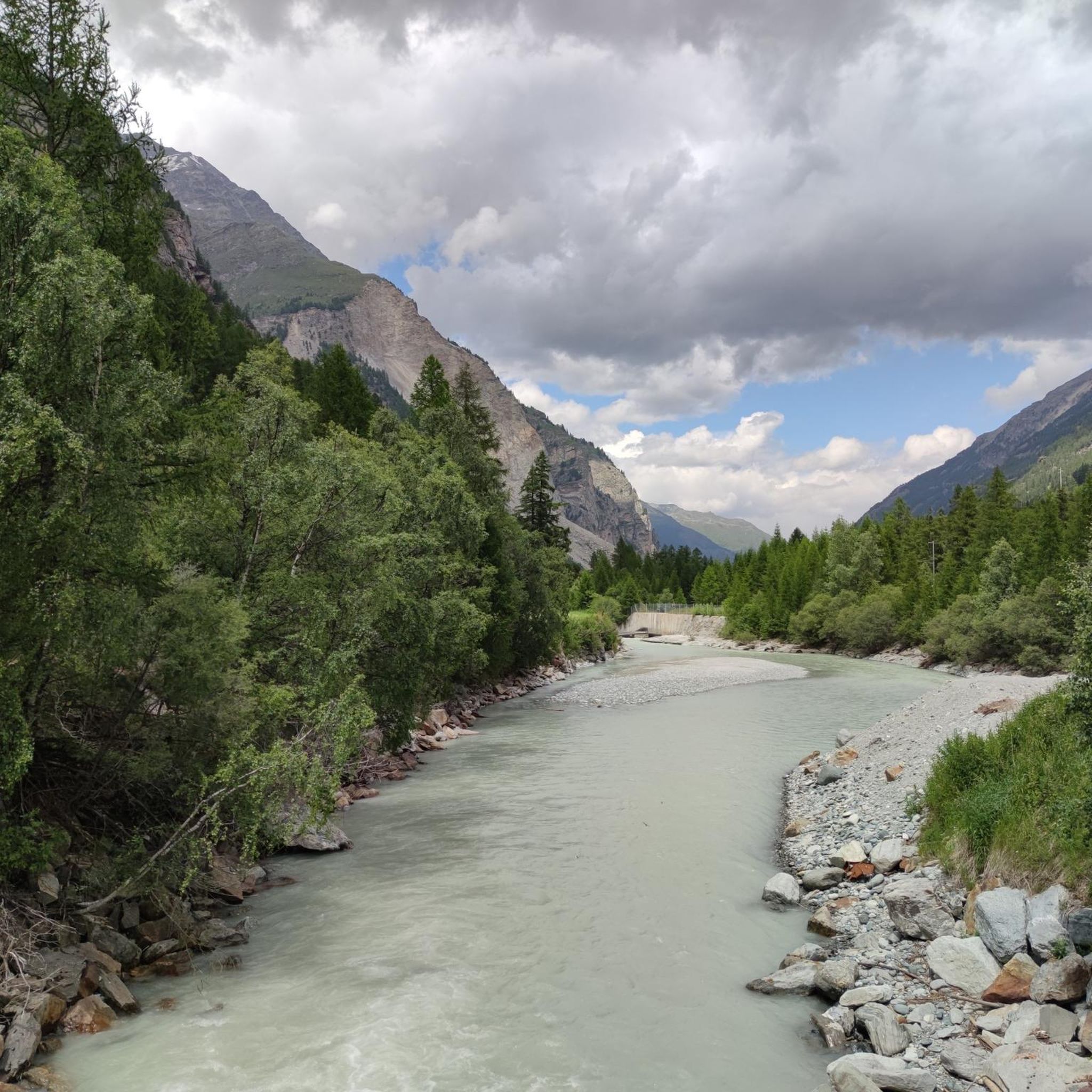
란다 로드 사이클링 경로
란다 주변의 다른 모험


커뮤니티 팁


A mountain guide is highly recommended, especially if you're doing this for the first time. You can also book one a few days in advance on site.
25
0

The Allalinhorn is a four-thousand-meter peak, perhaps the easiest in the Alps from a technical perspective. Since 1984, an underground funicular has operated along its northern flank, taking it up to 570 meters above sea level, significantly shortening the climb.
27
0

The Mischabelhütte, built at an altitude of 3,340 meters, is the third highest hut in Switzerland and the starting point for the high peaks of the Mischabels and Nadelgrat. Located between the Hohbalm and Fall glaciers, it is visible from Saas Fee and virtually the entire route. The guidebook and photos are available at: https://treksrandos.fr/alpes/valais/alpes-pennines/mischabelhutte/
0
0

The Barrhorn is the highest hikeable peak in Switzerland. From the summit you have a wonderful panoramic view
2
0


A beautiful place in summer and when the weather is good you have a gigantic panorama of the mountains. There are many hiking options, including https://www.saas-fee.ch/de/sommeraktivitaeten/wandern/top-5-wandertouren?gad_source=1&gclid=Cj0KCQjwz7C2BhDkARIsAA_SZKbTjEtWPNnlu61-JGk9b9jmkVEKSHgyuKQ48kNgEKGmDZ2p7HK55pkaAoPmEALw_wcB The place is worth a vacation in itself,
3
0


더 살펴보기
이 가이드를 통해 란다 주변의 더 놀라운 정상들을 확인해보세요:
