오베렘에서 가장 멋진 20개의 호수
오베렘에서 가장 멋진 호수를 방문하고 싶나요? 호숫가의 고요한 분위기를 느끼거나 날씨가 따뜻한 날 호수에 발을 살짝 담글 수 있다면 얼마나 좋을까요? Komoot 커뮤니티가 추천한 오베렘의 주요 호수를 아래에서 살펴보고, 다음 모험 때 직접 찾아가보세요!
마지막 업데이트: 8월 25, 2026


오늘 무료 계정으로 시작하세요
다음 모험이 기다리고 있어요.
로그인 또는 가입하기
커뮤니티 팁

I did this hike in early May 2024, just a few days after the ski season was over and the slopes had closed. The valley was completely deserted and it felt magical! The peaks were still covered in snow, but the first signs of spring were beckoning. On the final stretch to Lac d'Arpitetta, I was wading through snow up to my knees. Without proper gear I couldn’t get any farther than the small lake. The view on that crystal-clear spring day was absolutely fantastic! Check the picture I uploaded with all the peak names added.
0
0


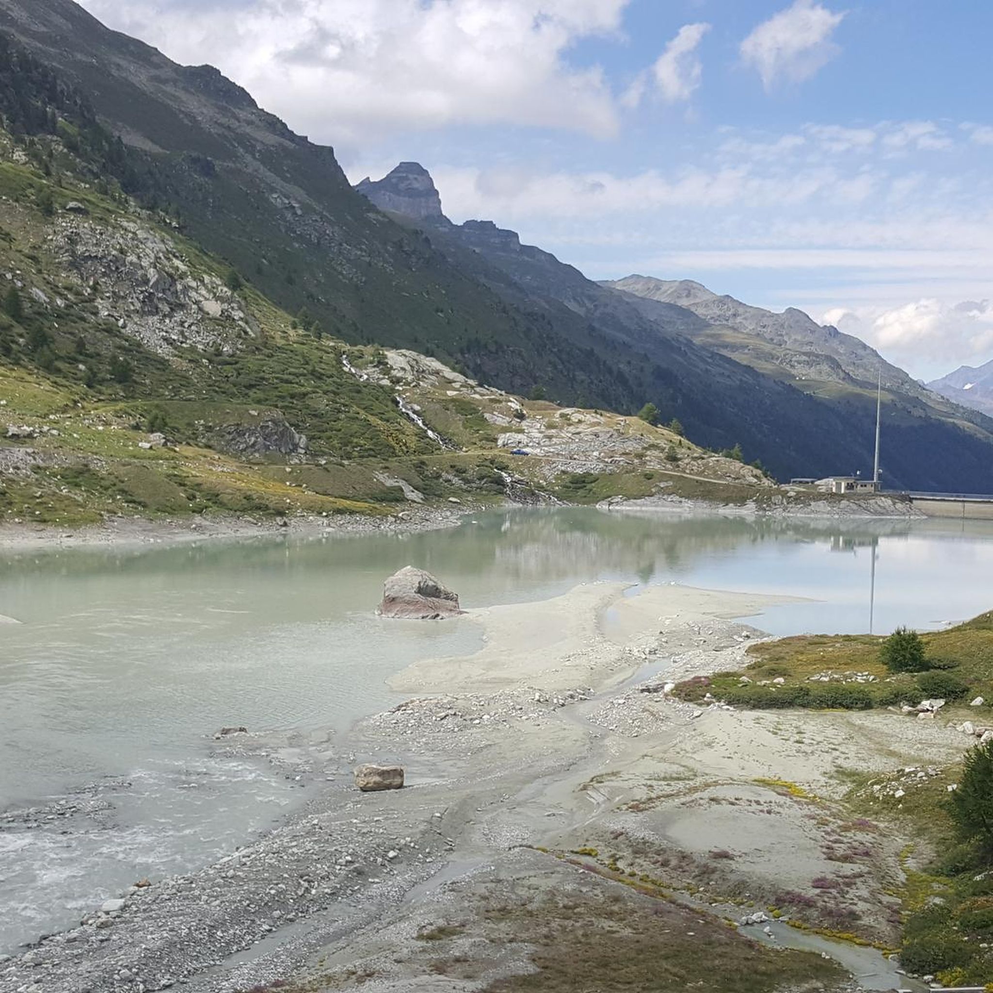
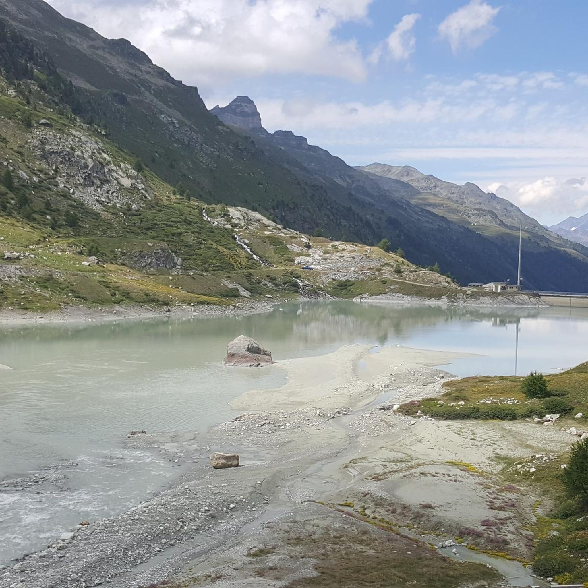
The impressive Moiry dam, 148 meters high, dominates the rear part of the Moiry valley. When you drive along the 8 km long country road from Grimentz to the dam, you are first impressed by the visual appearance of this mass of concrete. But as soon as you reach the top of the wall, you discover a breathtaking panorama. In addition, a beautiful view of the valley and the main road. The winding road will lead towards the Corne de Sorebois (another hike nearby but allow several hours of climbing, best done separately or first thing in the morning).
0
0
The climb to the village of Villa is very beautiful; you pass many historic residential buildings. Overall, it's a manageable distance for the day's walk from Moiry Dam and return via this location.
0
1
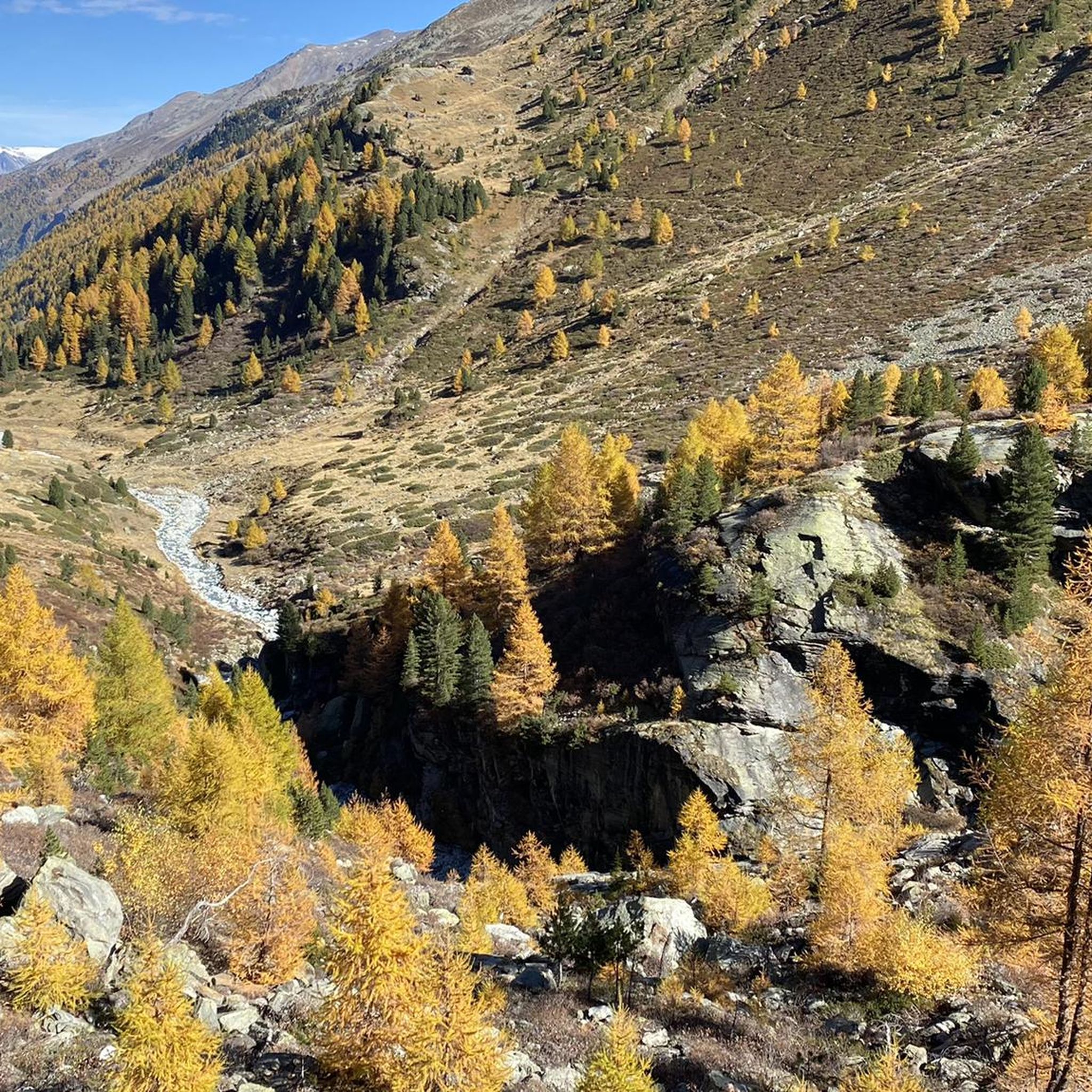
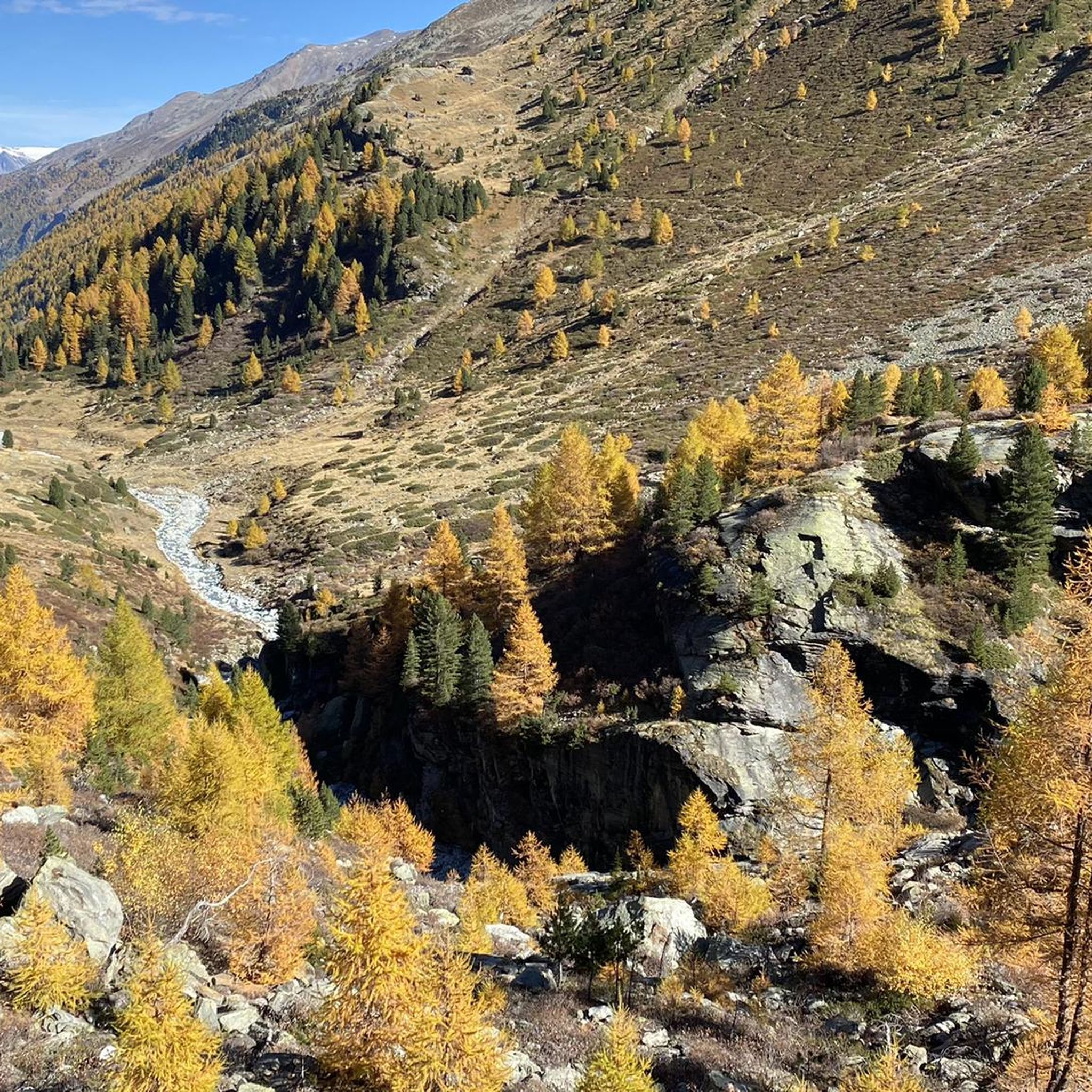
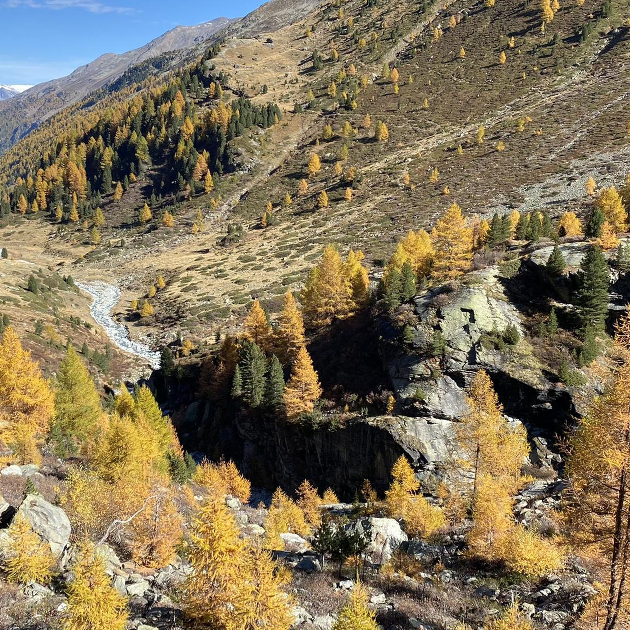
Lake Arpitettaz is a small mountain lake on the road to Cabane d’Arpitettaz. If you don't want to go to the Cabin, you can also make a loop to return to Zinal via the Roc de la Vache from the Lake. However, there is a trick to getting to Lac d’Arpitettaz from Zinal. If you stay on the right bank of the river, you will have to take a difficult and steep passage called “Pas du Chasseur” where you will have to hang on to chains for part of the way. This is not ideal, especially if you have young children. Instead, stay on the left bank of the river towards the Cabane du Petit Mountet and from there follow the direction of Lac d'Arpitettaz. You will cross the river on a pretty modern bridge. This will add an extra 10 minutes to your hike but above all you will have peace of mind and be able to see the Zinal Waterfall. It's really worth the detour.
2
1
Beautiful view of the valley and the main road. The winding road will lead towards the Corne de Sorebois (another hike nearby but allow several hours of climbing, best done separately or first thing in the morning).
0
1
The reservoir was completed in 1958. It has an arched wall with a length of 610 m and a height of 148 m. The volume of the barrier is 815,000 m3, the storage volume is 78 million m3 and the surface of the lake is 140 hectares. and a length of 2.4 km. In conjunction with the other reservoirs in the region, the lake is used exclusively to generate electricity. (Source: Viking Voyage)
1
2


더 살펴보기
오베렘 주변에서 완벽한 호수를 아직 못 찾으셨나요? 이 지역의 가이드를 확인하여 더 아름다운 장소를 찾아보세요.
