생트몽텐 주변 최고의 그래블 라이딩 코스
3.5
(2)
8
자전거 타는 사람
5
라이딩
Gravel biking around Sainte-Montaine offers routes through the tranquil Sologne and Berrichonne countryside in the Cher department of France. The landscape is characterized by a mix of woodlands, open fields, and rural paths, providing varied terrain for gravel cyclists. Riders can expect peaceful exploration along quiet roads and paths, often near calm rivers and serene lakes. The region's gentle topography makes it suitable for accessible gravel bike trails.
Best gravel bike trails around Sainte-Montaine
- The most popular gravel bike trail is Gravel loop from Toilettes Homme, a 16.1 miles (25.9 km) trail that takes 1 hour 53 minutes to complete. This easy route explores the local countryside on mixed surfaces.
- Another top favourite among local gravel bikers is Château de l'Hermitage in Chaon – Old Canal of the Sauldre loop from Les Alicourts, a moderate 23.2 miles (37.4 km) path. This route combines historical landmarks with scenic sections along the old canal.
- Local gravel bikers also love the Stuart Castle – Église Sainte Montaine loop from Aubigny-sur-Nère, a 15.3 miles (24.6 km) trail leading through rural landscapes and past local points of interest, often completed in about 1 hour 29 minutes.
- Gravel biking around Sainte-Montaine is defined by quiet country roads, woodland paths, and routes alongside waterways. The network offers options for both easy and moderate ability levels, with no difficult routes.
- The routes in Sainte-Montaine are highly rated by the komoot community with an average score of 3.5 stars from a few reviews. More than 8 gravel bikers have used komoot to explore Sainte-Montaine's varied terrain.
마지막 업데이트: 10월 21, 2026
3.0
(1)
2
자전거 타는 사람
25.9km
01:54
80m
80m
초급용 그래블 라이딩. 모든 체력 수준에 적합. 대부분 포장된 지면. 실력과 관계없이 누구나 갈 수 있음.
4.0
(1)
1
자전거 타는 사람
37.4km
02:08
140m
140m
보통 자갈길 타기. 좋은 체력 필요. 대부분 포장된 지면. 실력과 관계없이 누구나 갈 수 있음.

1
자전거 타는 사람
35.8km
02:36
110m
110m
보통 자갈길 타기. 좋은 체력 필요. 대부분 포장된 지면. 실력과 관계없이 누구나 갈 수 있음.
3
자전거 타는 사람
24.6km
01:29
60m
60m
초급용 그래블 라이딩. 모든 체력 수준에 적합. 대부분 포장된 지면. 실력과 관계없이 누구나 갈 수 있음.
1
자전거 타는 사람
31.2km
01:53
90m
90m
초급용 그래블 라이딩. 모든 체력 수준에 적합. 대부분 포장된 지면. 실력과 관계없이 누구나 갈 수 있음.
투어 추천은 다른 사람들이 komoot에서 완료한 수천 개의 활동을 바탕으로 구성되어 있습니다.
오늘 무료 계정으로 시작하세요
다음 모험이 기다리고 있어요.


커뮤니티 팁

The church consists of two successive rectangles, formerly covered by a wooden barrel vault with exposed beams. The very prominent buttresses of the nave, doubled at the corners, date the construction to the 12th or 13th centuries. The bell tower is supported by internal timbers near the central gable. A document from 1489 informs us that at that time, the church of Sainte Montaine was in need of extensive repairs. The bell tower had to be rebuilt, perhaps following a fire. The current bell tower therefore dates from this period. The western door is also from the 15th century. Its leaves are adorned with nails of remarkable craftsmanship. The nave was surrounded to the north and west by a wooden porch, similar to that of Brinon, but of more refined and delicate workmanship. This extension, which serves as a hall and narthex, is called a "caquetoire" in the Sologne region. It dated back to the 16th century and was demolished during the years 1918/1919. The furnishings are very important in both quantity and quality. Among the 18th-century liturgical vestments are two dalmatics and an 18th-century pastoral stole. There is also a 16th-century statue of the Virgin Mary and a 17th-century statue of Saint Germain, a 17th-century painting of the miracle of Saint Montaine, and a 17th-century processional cross of Christ on the Cross.
0
0

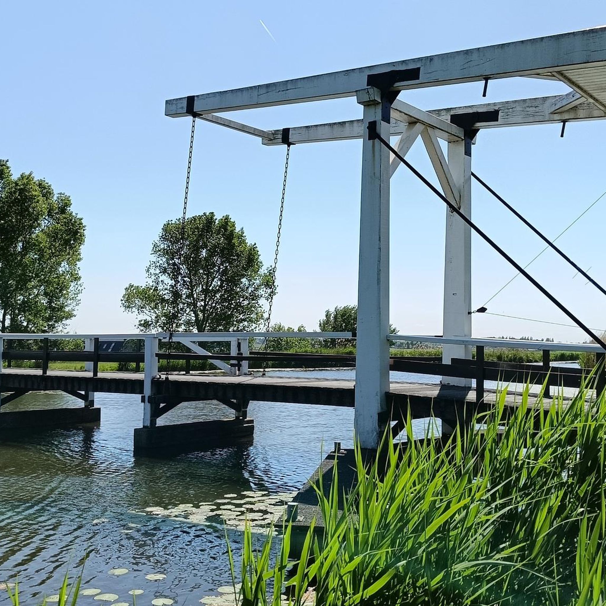
This lock was once part of the Canal de la Sauldre. Water from the Étang du Puits was regulated here to allow ships to pass and maintain the canal's water level. Now it's simply a beautiful spot to pause for a moment...
4
0
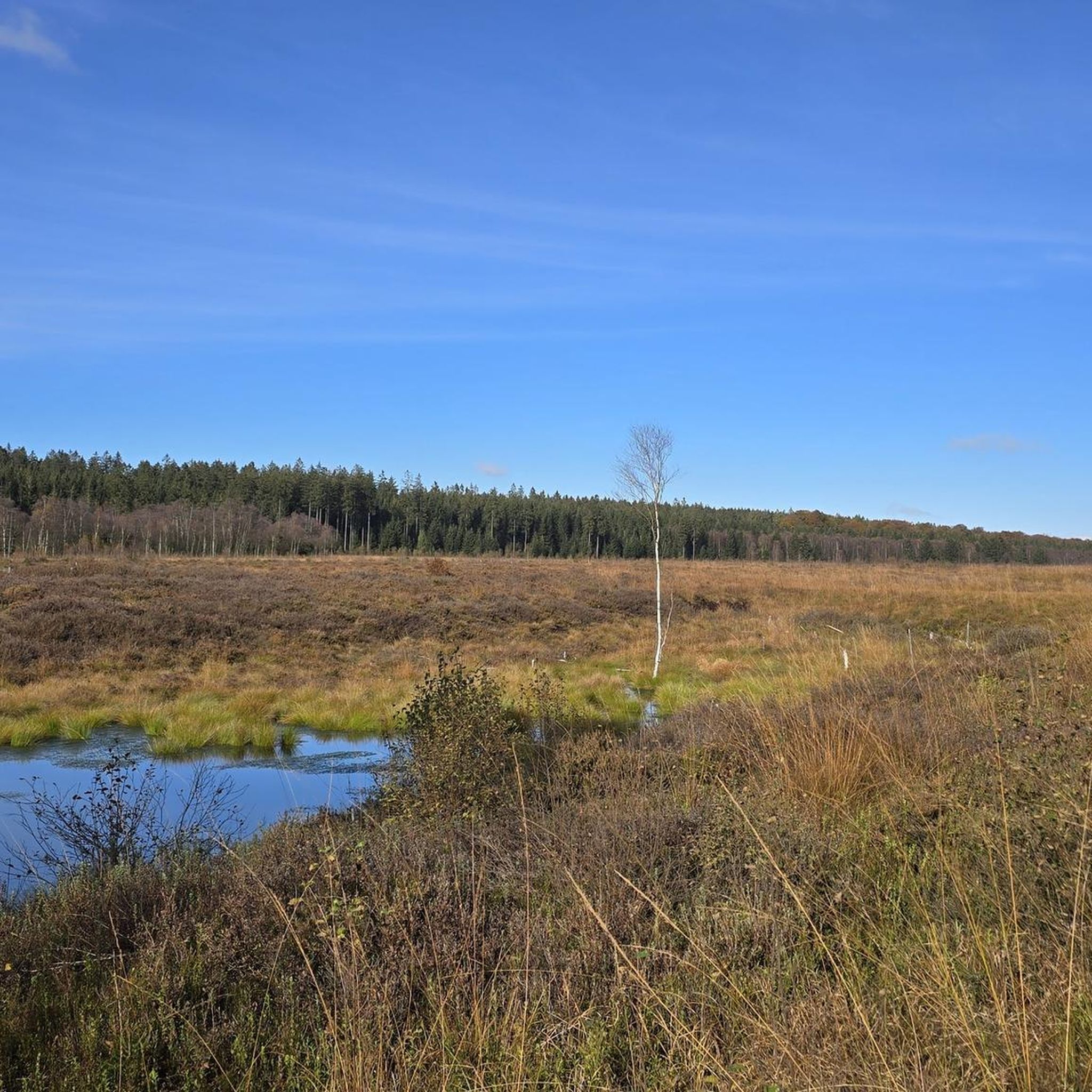
The lake covers 180 hectares, making it the largest in the Sologne. Originally created in 1864 to supply the Sauldre canal with water. Now partly developed as a recreational area: beach area, hiking trails, water sports (sailing, ski-nautique, pedalo), and an ornithological reserve. For nature lovers: you'll find a rich bird life (cendré heron, grèbe huppé, etc.) and diverse flora along the banks. For families: picnic areas, a beach area in the summer, and playgrounds.
4
0

Castle built during the Renaissance by Robert Stuart then Louise de Keroualle, Duchess of Aubigny and Porsmouth. Only the facade and one of the two wings exist today. It is one of the major witnesses to the historical presence of the Scots in this city of character. It can be visited and is worth a look, notably with the ceiling of its large room which is all made of wood, shaped like the hull of an upside-down boat. Good to know: Franco-Scottish festivals take place every year in July.
0
0
Castle built during the Renaissance by Robert Stuart then Louise de Keroualle, Duchess of Aubigny and Porsmouth. Only the facade and one of the two wings exist today. It is one of the major witnesses to the historical presence of the Scots in this city of character. It can be visited and is worth a look, notably with the ceiling of its large room which is all made of wood, shaped like the hull of an upside-down boat. Good to know: Franco-Scottish festivals take place every year in July.
2
0
The largest pond in Sologne which combines rich natural environments, with fauna and flora that can be admired for hours, and facilities conducive to relaxation and swimming, with its beaches and activities on offer.
1
0
One of the 22 locks of the Canal de la Sauldre. The Etang du Puits, with an area of 180 hectares, served as a buffer reservoir for the canal in order to supplement it with water when the Sauldre was not enough to supply it.
1
0
Castle built during the Renaissance by Robert Stuart then Louise de Keroualle, Duchess of Aubigny and Porsmouth. Only the facade and one of the two wings exist today. It is one of the major witnesses to the historical presence of the Scots in this city of character. It can be visited and is worth a look, notably with the ceiling of its large room which is all made of wood, shaped like the hull of an upside-down boat. Good to know: Franco-Scottish festivals take place every year in July.
2
0
자주 묻는 질문
생트-몽테인 주변에는 자갈길 자전거 코스가 얼마나 있나요?
생트-몽테인 지역에는 쉬움부터 보통 난이도까지 5개의 자갈길 자전거 코스가 있습니다. 이 코스들은 고요한 솔로뉴(Sologne)와 베리숑(Berrichonne) 시골 지역을 탐험하기에 좋은 방법을 제공합니다.
생트-몽테인에는 초보자에게 적합한 자갈길 코스가 있나요?
네, 생트-몽테인에는 초보자에게 완벽한 여러 쉬운 자갈길 코스가 있습니다. 예를 들어, 톨레트 옴므(Toilettes Homme) 출발 자갈길 루프는 접근성이 좋은 옵션으로, 약 26km를 최소한의 고도 상승으로 이동합니다. 또 다른 쉬운 선택지는 오비니-쉬르-네르(Aubigny-sur-Nère) 출발 스튜어트 성 – 생트 몽테인 교회 루프로, 길이는 약 24.5km입니다.
생트-몽테인 자갈길 자전거 코스에서는 어떤 지형을 예상할 수 있나요?
솔로뉴(Sologne)와 베리숑(Berrichonne) 시골 지역 사이에 위치한 생트-몽테인 주변의 지형은 일반적으로 숲, 탁 트인 들판, 시골길이 혼합되어 있습니다. 조용한 도로와 길을 따라 평화로운 강과 고요한 호수가 있어 그림 같고 평화로운 자갈길 자전거 경험을 제공할 것입니다.
생트-몽테인 주변에서 자갈길 자전거를 타면서 어떤 흥미로운 볼거리나 랜드마크를 볼 수 있나요?
자갈길 자전거를 타면서 여러 흥미로운 지점을 만날 수 있습니다. 스튜어트 성 – 생트 몽테인 교회 루프는 역사적인 스튜어트 성을 지나갑니다. 다른 코스는 아름다운 에탕 뒤 푸이(Étang du Puits) 근처나 샤옹(Chaon)의 에르미타주 성 – 옛 솔드르 운하 루프에서 볼 수 있는 옛 솔드르 운하(Old Sauldre Canal) 구간을 따라 이어질 수 있습니다. 이 지역에는 매력적인 시골 마을과 생 에티엔 교회(Saint-Étienne Church)도 있습니다.
생트-몽테인 근처에 가족 친화적인 자갈길 자전거 옵션이 있나요?
네, 일반적으로 쉬움에서 보통 난이도의 코스와 많은 길의 고요하고 교통이 없는 특성 덕분에 가족에게 적합합니다. 톨레트 옴므(Toilettes Homme) 출발 자갈길 루프와 같은 코스는 비교적 평탄하고 짧아 가족 나들이에 좋은 선택입니다. 평화로운 시골 환경은 아이들과 함께 편안한 라이딩에 이상적입니다.
생트-몽테인에서 순환 자갈길 자전거 코스를 찾을 수 있나요?
물론입니다. 생트-몽테인 주변의 많은 자갈길 코스는 루프로 설계되어 있어 같은 지점에서 시작하고 끝낼 수 있습니다. 예로는 아르장-쉬르-솔드르(Argent-sur-Sauldre) 출발 푸이 잠금 장치 – 에탕 뒤 푸이 루프와 아르장-쉬르-솔드르(Argent-sur-Sauldre) 출발 에탕 뒤 푸이 – 푸이 잠금 장치 루프가 있으며, 두 코스 모두 경치 좋은 순환 라이딩을 제공합니다.
Sainte-Montaine에서 그래블 바이크를 타기 가장 좋은 시기는 언제인가요?
Sainte-Montaine에서 그래블 바이크를 타기 가장 좋은 시기는 일반적으로 봄, 여름, 초가을입니다. 이 계절에는 숲과 들판을 탐험하기에 쾌적한 날씨를 제공합니다. 봄에는 꽃이 만발하고, 여름에는 낮 시간이 깁니다. 초가을에는 쾌적한 기온과 아름다운 단풍을 즐길 수 있습니다. 겨울은 춥고 습할 수 있어 일부 길은 덜 즐거울 수 있습니다.
이 지역의 그래블 바이크 라이딩은 보통 어느 정도 길이 또는 시간이 소요되나요?
Sainte-Montaine 주변의 그래블 바이크 라이딩은 일반적으로 24~37km 길이입니다. 소요 시간은 개인의 속도와 선택한 경로에 따라 1.5~2.5시간 정도 예상할 수 있습니다. 이는 반나절 나들이에 이상적입니다.
Sainte-Montaine 근처에서 그래블 바이크를 탈 수 있는 주차 공간을 어디에서 찾을 수 있나요?
각 트레일에 대한 특정 주차 공간은 자세히 나와 있지 않지만, Sainte-Montaine 및 인근 마을에는 일반적으로 대중 주차 옵션이 있습니다. 마을 중심부나 일부 투어의 시작점으로 언급된 Aubigny-sur-Nère 또는 Argent-sur-Sauldre와 같은 인기 있는 경로 시작점 근처에 지정된 주차 공간을 찾아보세요.
그래블 트레일 вдоль에서 간식이나 음료를 마실 수 있는 곳이 있나요?
Sainte-Montaine 자체는 지역 편의 시설을 갖춘 매력적인 마을입니다. 트레일 바로 옆에 있는 특정 카페는 보장되지 않지만, Sainte-Montaine 또는 Aubigny-sur-Nère나 Argent-sur-Sauldre와 같은 더 큰 인근 마을에서 작은 상점이나 카페를 자주 찾을 수 있으며, 이곳은 라이딩의 좋은 시작점 또는 끝점 역할을 합니다. 특히 긴 경로에서는 물과 간식을 휴대하는 것이 좋습니다.
다른 그래블 바이커들은 Sainte-Montaine에서 그래블 바이크를 타는 것에 대해 가장 무엇을 즐기나요?
이 지역은 komoot 커뮤니티에서 평균 3.5점의 높은 평가를 받고 있습니다. 리뷰어들은 종종 고요한 환경, 다양한 자연 경관, 그리고 교통량이 많은 곳에서 벗어나 진정한 프랑스 시골을 탐험할 수 있는 기회를 칭찬합니다. 평화로운 분위기와 강, 호수, 숲의 아름다운 풍경이 자주 강조됩니다.
생트몽텐 주변에서 가장 인기 있는 명소


더 살펴보기
다른 지역의 최고의 그래블 라이딩를 살펴보세요.
