바렐에서 가장 멋진 20개의 천연기념물
천연기념물을 방문하여 바렐의 아름다운 풍경을 만나보세요. 바렐에 있는 20
개의 천연기념물과 상세 정보를 살펴본 후에 방문하고 싶은 천연기념물을 다음 모험 계획에 추가해보세요!
마지막 업데이트: 9월 14, 2026
바렐 항구 수문에 있는 아이스-만-프라우(돌로 만든 눈사람 조각상)
하이라이트 • 기념물
번역자 Google •
팁에 의해


이런 장소를 발견하려면 지금 가입하세요
최고의 싱글 트랙, 봉우리 및 다양한 흥미로운 야외 장소에 대한 추천을 받아보세요.
노이엔부르거 원시림의 사냥 오두막
하이라이트 • 산장
Opposite the …
번역자 Google •
팁에 의해

노이엔부르거 원시림
하이라이트 • 숲
번역자 Google •
팁에 의해

제헤스테트 염습지 트레일 – 떠있는 이탄지
하이라이트 • 자연 기념물
번역자 Google •
팁에 의해

무료로 가입하여 바렐 주변의 더 많은 자연 기념물을 발견하세요.
이미 komoot 계정이 있나요?
바렐 주변의 다른 모험


커뮤니티 팁

Ice-Man-Woman -2003 Ice-Man-Woman -Location: Varel-Hafen-Schleuse -Sculpture made of three interlocking boulders -Height: 8 meters, standing on a mound -Weight: approx. 25 tons -Other material: nose, eyes, mouth made of bronze, hat made of aluminum (Source: https://www.eckartgrenzer.de/2003/eis-mann-frau/)
8
0
Ice Man Woman Topic: The Flood (Genesis 7) The ice ages were, as the Brockhaus of 1889 put it, the floods of the north. The end of the last ice age was about 10,000 years ago. The ice masses retreated from the North German lowlands and left behind boulders, stone descendants of the granite masses of Scandinavia, which were once used by our ancestors for ritual or cultic purposes. The granite sculpture at the lock to the Jade Bay, the ice man woman, looks over the dike to the north, to the place of her origins, her homeland. Standing tall between the sea and inland waters - waters that represent the two rivers of the Bible, the Euphrates and the Tigris. So He-She is both a symbol of the flood of the north and its end. Children in particular enjoy discovering a snowman, especially in summer. But how long – considering the increasing global warming – will they be able to build snowmen and snowwomen? In this respect, the sculpture is also a memorial. The snowman is dedicated to my disabled daughter Tina, who often visits him and who enjoys it. May he bring joy to all people, disabled and non-disabled alike. (Source: https://www.eckartgrenzer.de/2003/eis-mann-frau/)
8
0

An effect of global warming? Here stands a granite snowman that defies all weather conditions
8
0

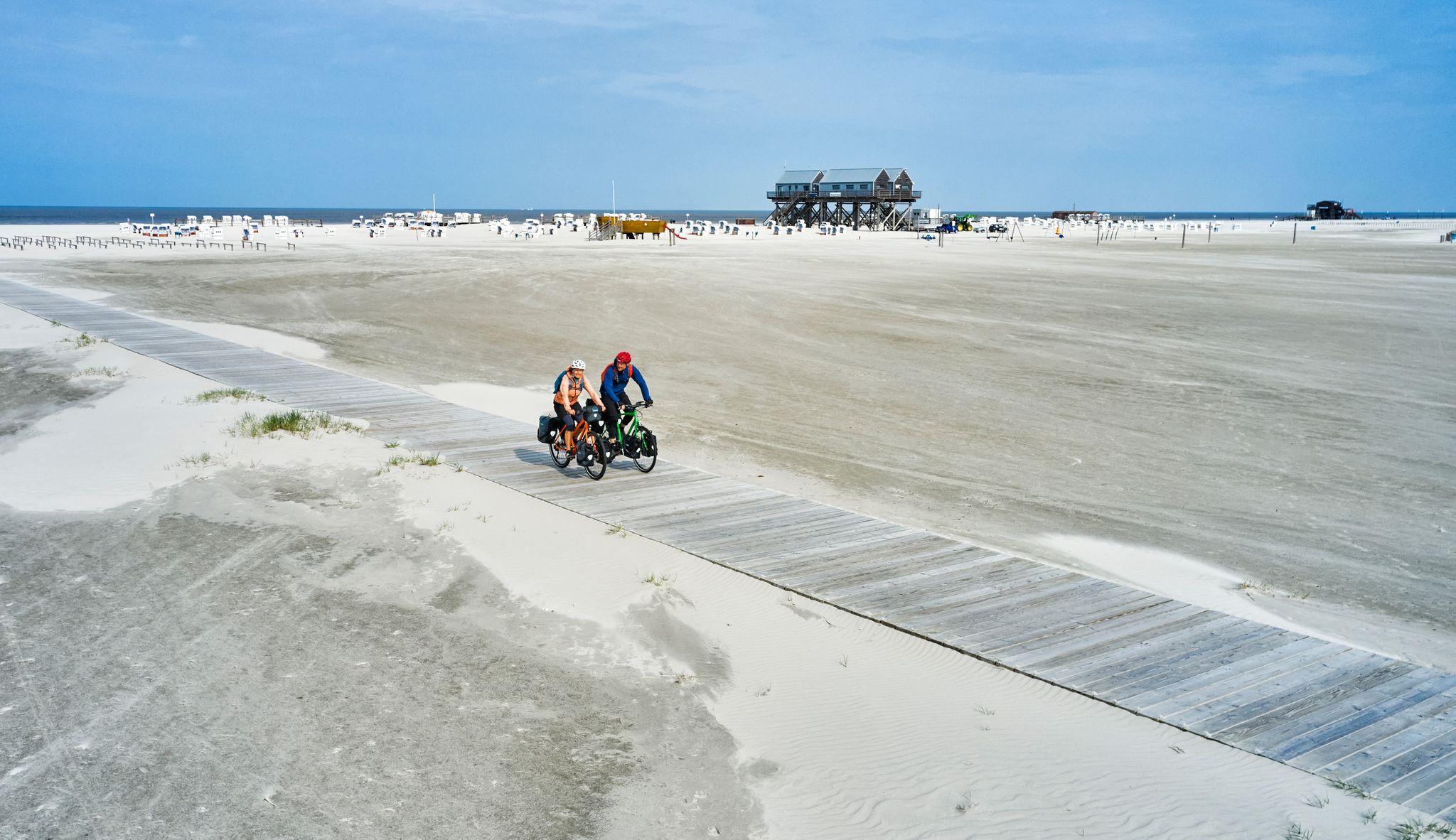
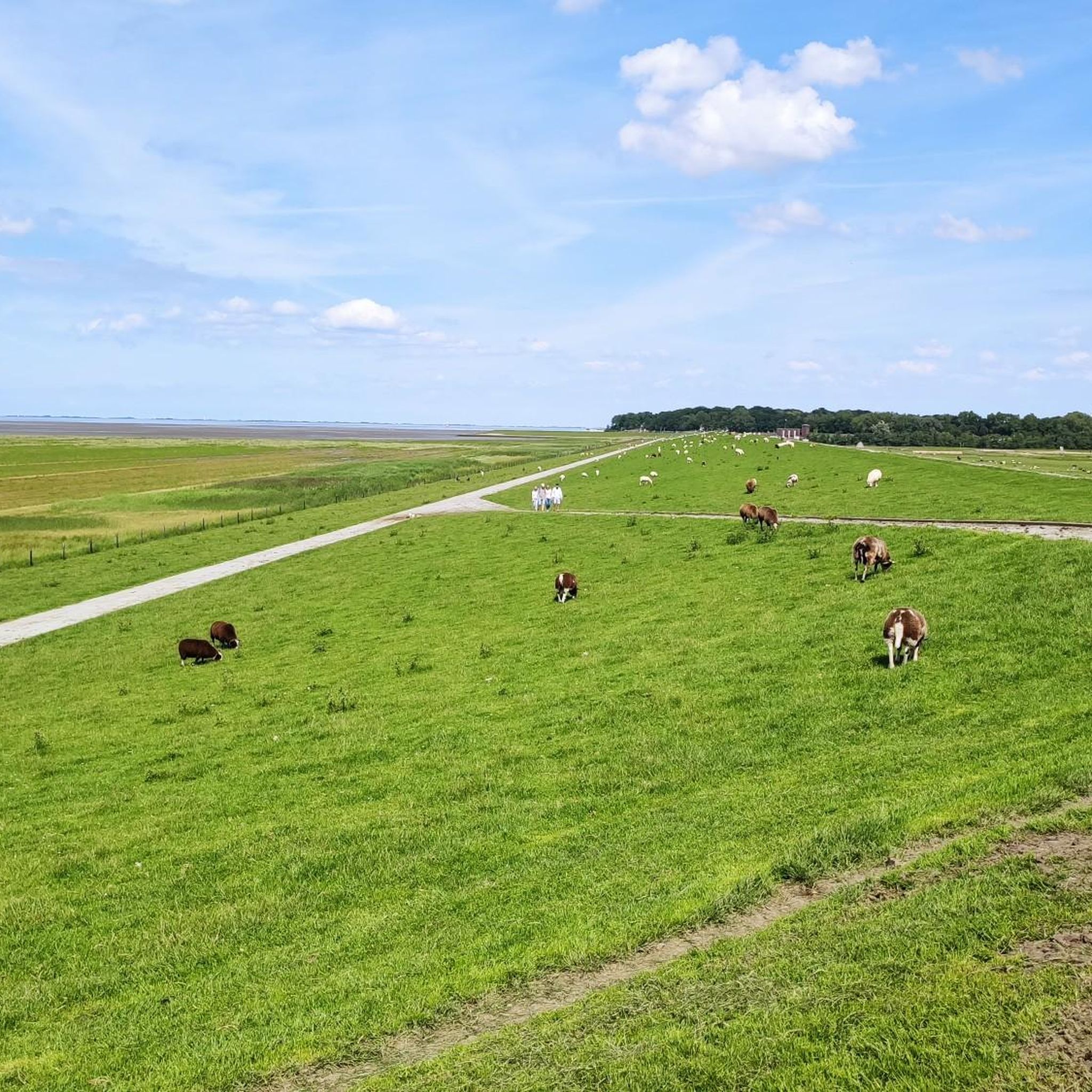
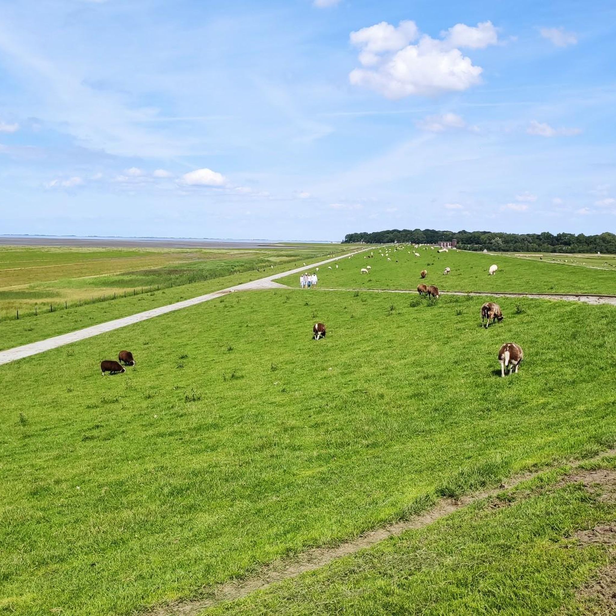
Wonderful, every stressed soul can find peace here 💙 👟👟🚲🚲Kilometers long with the seagulls on the Jade Bay🌊💙 Great photo opportunities guaranteed🎨📸, always amazing to see the interplay between ebb and flow.
9
0

A beautiful natural forest with numerous old trees and dead wood. The tour can be started at two car parks, a beautiful loop of around 9 km.
2
1
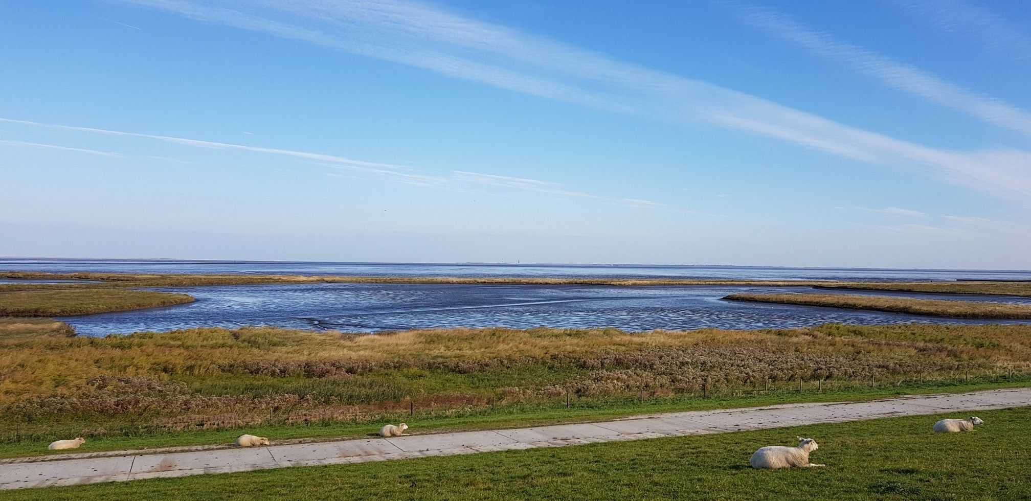
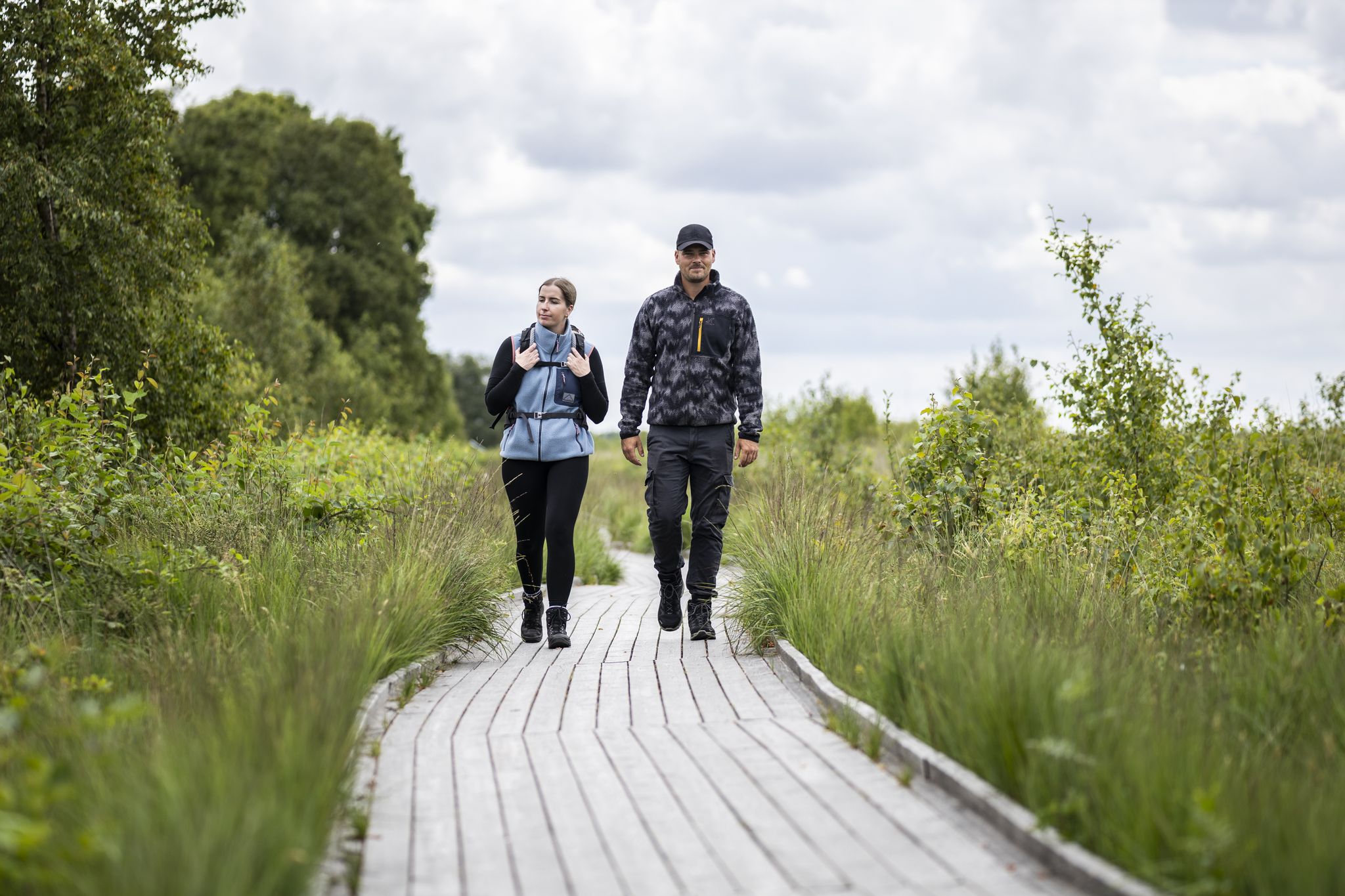
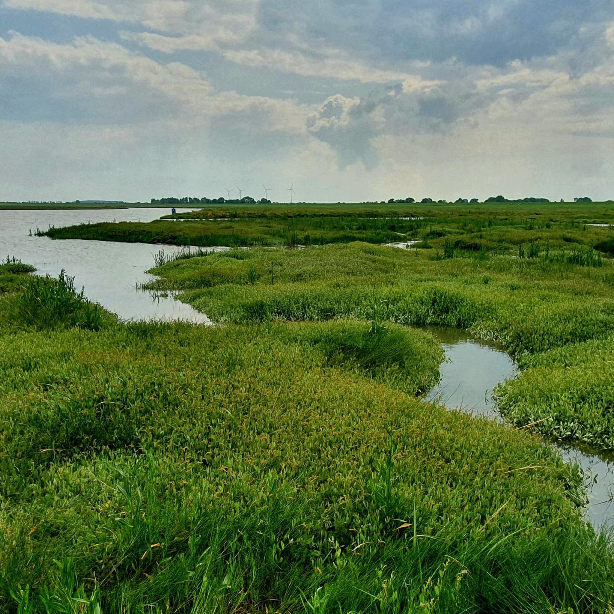
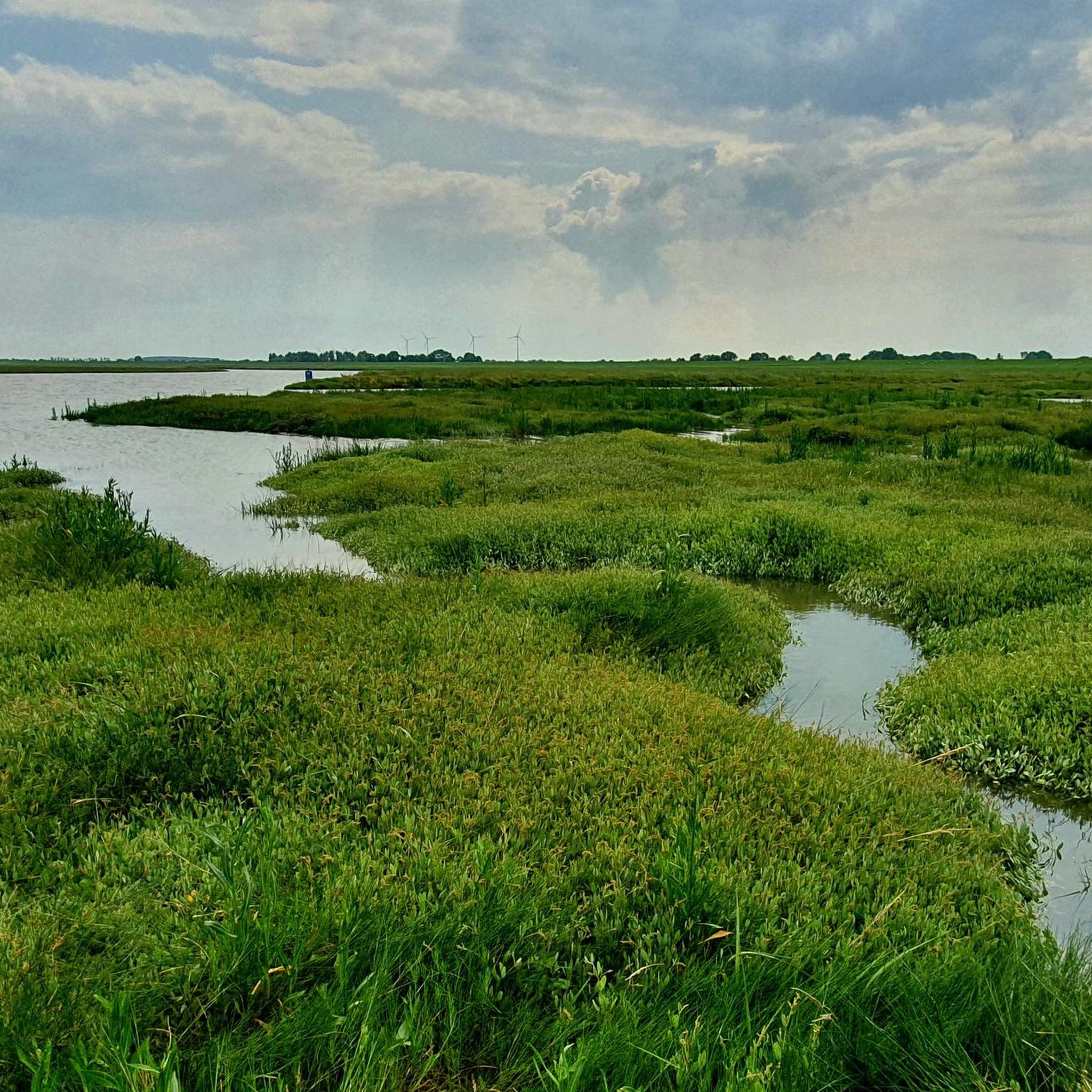
The salt marsh adventure trail in Sehestedt leads from the dike entrance at the "Floating Moor" through the salt marshes to the Wadden Sea of the Jade Bay via Sehestedt back. On the 5km long circular trail, which can be walked in about 1.5 to 2 hours, over 30 information boards provide detailed information about the natural history of the Jade Bay. The range of topics ranges from the formation of the Jade Bay to the importance of the salt marshes as a breeding and resting area for birds to the special adaptations of plants and animals to this habitat characterized by extremes. Of course, there is also detailed information about the Wadden Sea and its inhabitants. Interesting facts are also reported about the cultural and historical aspects of land reclamation and dike construction. (Source: https://jade-touristik.de/jade-entdecken-erleben/natur/salzwiesen-erlebnispfad/)
7
0
In 1938, the "Floating Moor" was finally placed under nature conservation for geological, botanical, zoological and local history reasons, after some parts of the area had already been protected in previous years. This area has been part of the "Lower Saxony Wadden Sea" National Park since 1986 and has therefore been a UNESCO World Heritage Site since 2010. In 2007, an international youth group and the "Meyershof" youth workshops in the Wesermarsch district laid out a boardwalk that leads to an observation and information hut. (Source: https://www.nationalpark-wattenmeer.de/wp-content/uploads/2020/03/Das-Schwimmende-Moor-in-Sehestedt.pdf)
6
0
When can you see the moor floating? Floating up is a rare occurrence. The prerequisite is a heavy storm or hurricane flood from the northwest, where the water rises more than 1.70 m above mean high tide (MTHw) and there is heavy seas. In Sehestedt the MTHw is + 1.79 above sea level. Adding 1.70 m gives 3.49 m. The water is then at least 1.15 m high on the salt marsh in front. The moor rises when the salt water has almost reached the moor surface. The buoyancy is so strong that everything that is on the moor is lifted with it, in the past also the houses and wells. When floating up, the break-off point between the high and low moor is about 3.10 m below the surface of the moor and thus more than 1 m deeper than the salt marshes in front of it. If the moors break off and are washed away, deep moor holes remain that fill with water. (Source: https://www.nationalpark-wattenmeer.de/wp-content/uploads/2020/03/Das-Schwimmende-Moor-in-Sehestedt.pdf)
4
0
바렐 주변에서 가장 인기 있는 명소


더 살펴보기
바렐 주변의 최고의 동굴을 찾기 위해 이 가이드를 확인해보세요:
