글루싱에서 가장 멋진 9개의 천연기념물
천연기념물을 방문하여 글루싱의 아름다운 풍경을 만나보세요. 글루싱에 있는 9
개의 천연기념물과 상세 정보를 살펴본 후에 방문하고 싶은 천연기념물을 다음 모험 계획에 추가해보세요!
마지막 업데이트: 9월 28, 2026
Ostroher-Süderholmer Moor의 이탄 웅덩이
하이라이트 • 자연
번역자 Google •
팁에 의해

Dellstedter Birkwildmoor 자연보호구역
하이라이트 • 자연 기념물
번역자 Google •
팁에 의해

이런 장소를 발견하려면 지금 가입하세요
최고의 싱글 트랙, 봉우리 및 다양한 흥미로운 야외 장소에 대한 추천을 받아보세요.
델슈테더 비르크빌트무어 자연 보호구역
하이라이트 • 자연
번역자 Google •
팁에 의해

크라이스포어스트 벨름뷔텔의 하이드베르크
하이라이트 • 자연 기념물
번역자 Google •
팁에 의해
Eidertal 절벽: Pahlhude에서 Dörpling-Hohenlieth까지
하이라이트 • 자연 기념물
번역자 Google •
팁에 의해
무료로 가입하여 글루싱 주변의 더 많은 자연 기념물을 발견하세요.
이미 komoot 계정이 있나요?
오늘 무료 계정으로 시작하세요
다음 모험이 기다리고 있어요.
커뮤니티 팁

Be careful, the paths are soft and wet even during prolonged dry periods!
0
0

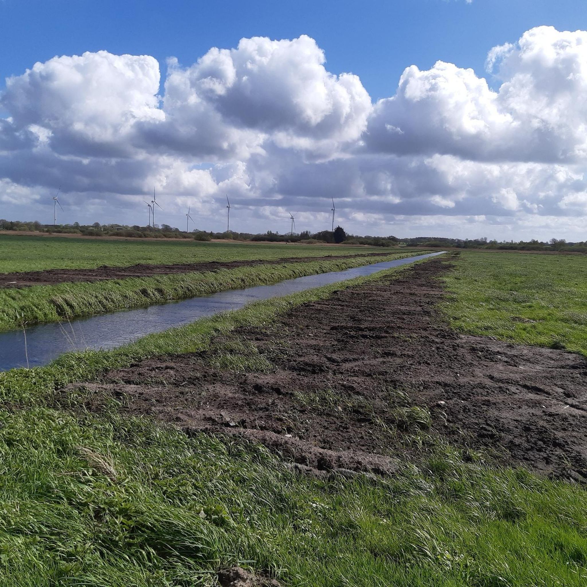
Impressively renaturalized and can be hiked on natural paths (possibly very damp to wet!).
0
0


A small place to rest with a beautiful view over the hollows.
0
0

The Scottish Highlanders are a peaceful breed of cattle. Everything is very slow and they don't fixate on them with their eyes. Then they get very curious. I also really liked the view of the birch forest. It may be that I'm spoiled at the moment. So I have to "earn" a hike's stars. The water areas are visited by anglers, and they drive right up to them in their cars. There are also too many tractors driving too fast on the supply routes.
5
0
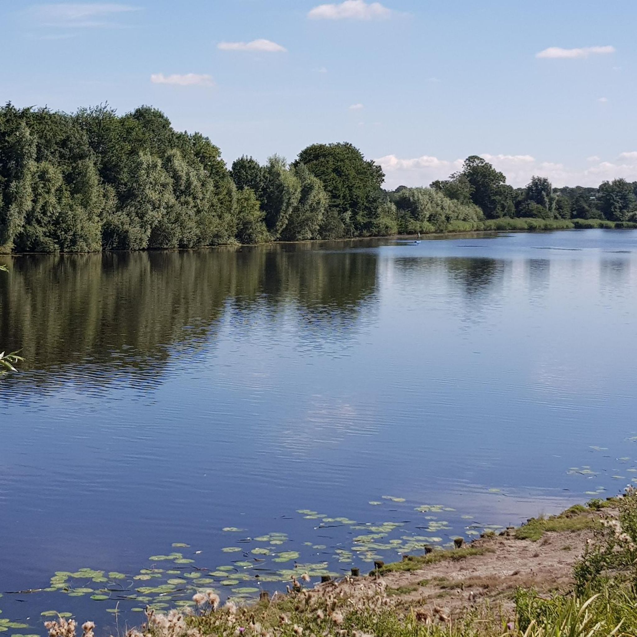
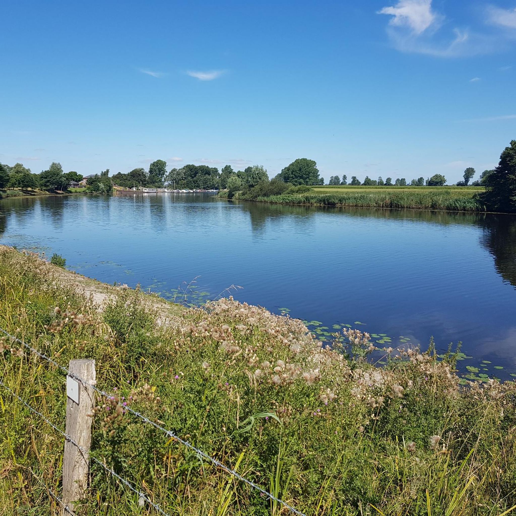
Today, the landscape is characterized by a mosaic of water areas used for sport fishing, between agricultural grassland areas. The area, which is crossed by a network of paths, also includes reed beds and fen-like wet meadows.
5
0
Since 1972, the moor in the valley of the upper Broklandsau northeast of Heide has been designated a protected area covering an area of 283 hectares.
5
0
After the Second World War, peat was mined here on a large scale to a depth of six metres. This is how the peat pits, which are today's water surfaces, were created.
5
0
글루싱 주변에서 가장 인기 있는 명소


더 살펴보기
글루싱 주변의 최고의 동굴을 찾기 위해 이 가이드를 확인해보세요:
