스파첸하우젠에서 가장 멋진 20개의 천연기념물
천연기념물을 방문하여 스파첸하우젠의 아름다운 풍경을 만나보세요. 스파첸하우젠에 있는 20
개의 천연기념물과 상세 정보를 살펴본 후에 방문하고 싶은 천연기념물을 다음 모험 계획에 추가해보세요!
마지막 업데이트: 11월 8, 2026
무르나우 습지의 보렌길
하이라이트 (구간) • 트레일
번역자 Google •
팁에 의해


이런 장소를 발견하려면 지금 가입하세요
최고의 싱글 트랙, 봉우리 및 다양한 흥미로운 야외 장소에 대한 추천을 받아보세요.

블라우에 굼프 샘 (오스터제엔)
하이라이트 • 자연 기념물
번역자 Google •
팁에 의해

오스터제 호수들을 따라
하이라이트 (구간) • 호수
번역문 보기
팁에 의해

무료로 가입하여 스파첸하우젠 주변의 더 많은 자연 기념물을 발견하세요.
이미 komoot 계정이 있나요?
오늘 무료 계정으로 시작하세요
다음 모험이 기다리고 있어요.


커뮤니티 팁

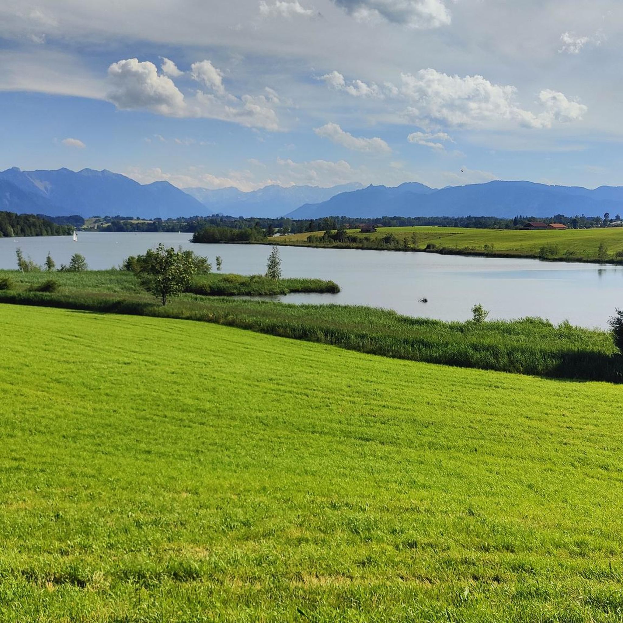
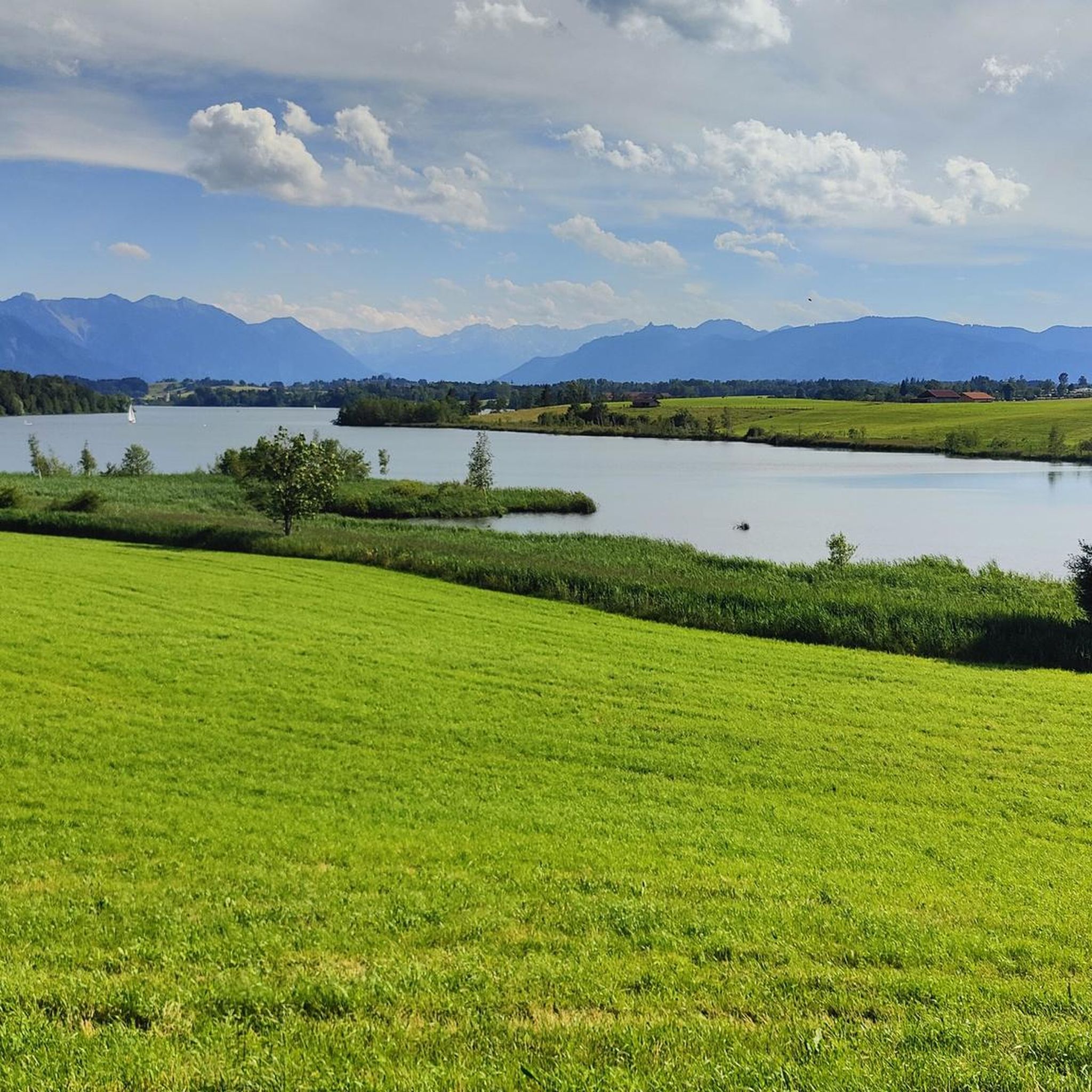
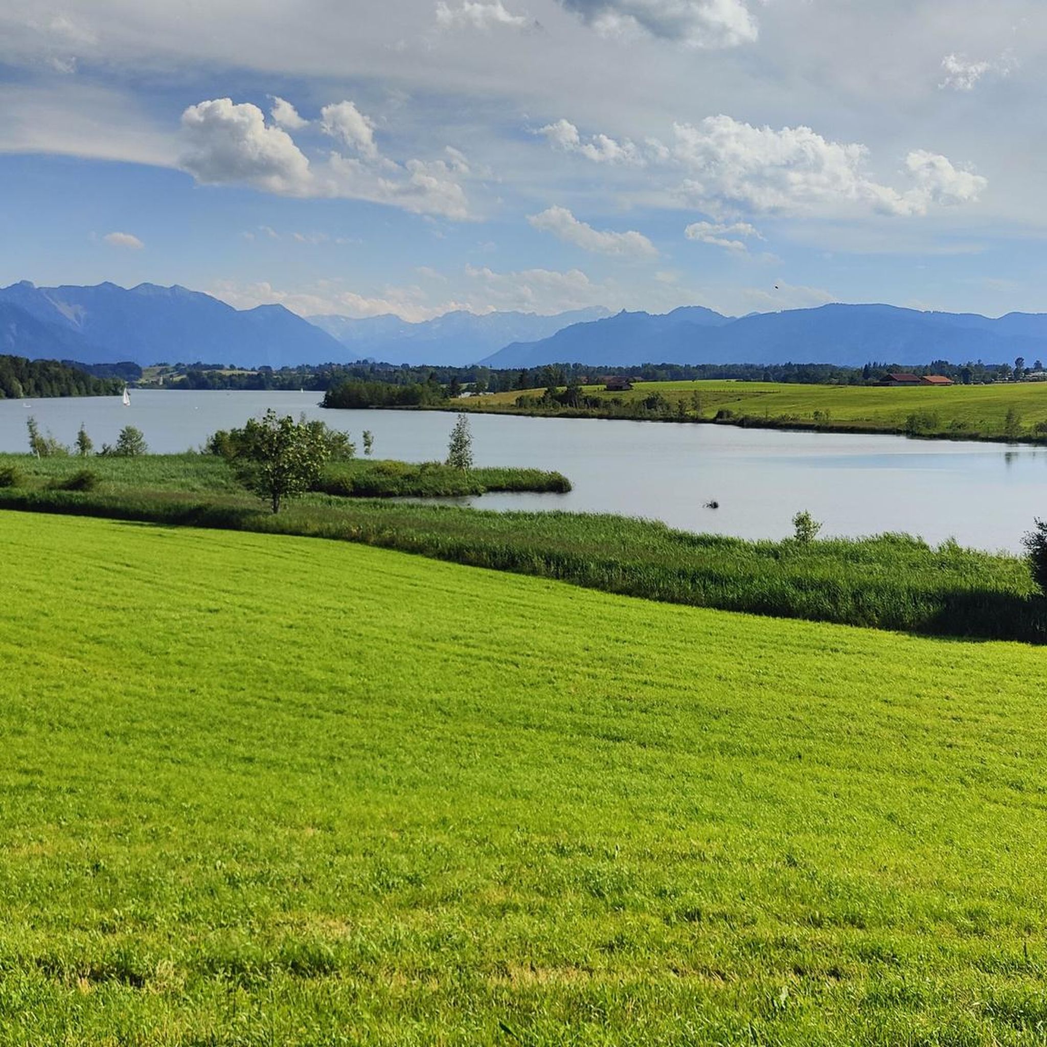
Seven tree-covered islands make it the most island-rich lake in the foothills of the Alps. It is located “in the middle of a pre-Alpine moor landscape west of Murnau. The Toteissee, whose basin was formed by the Loisach Glacier, was formed during the Würm Ice Age.
4
1

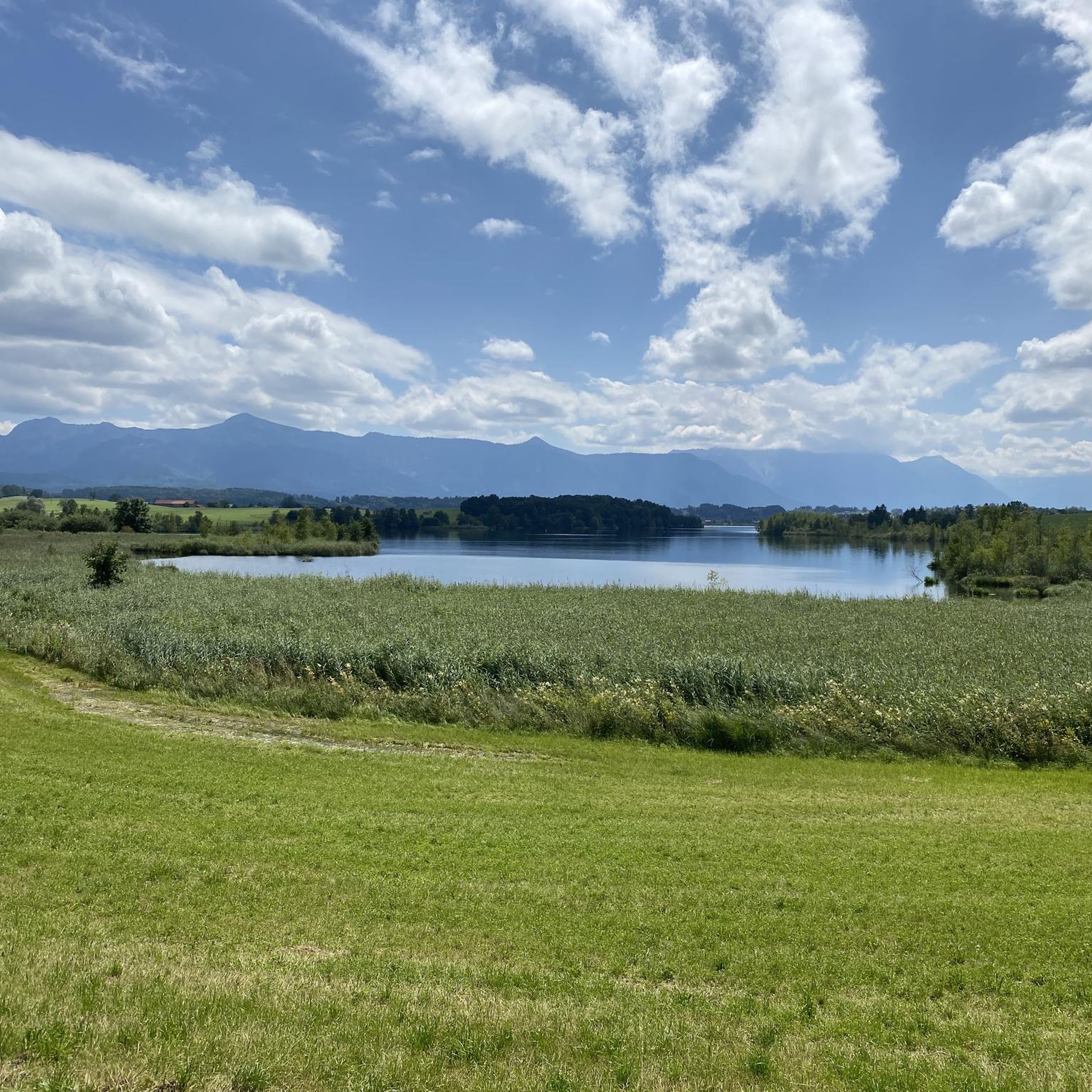
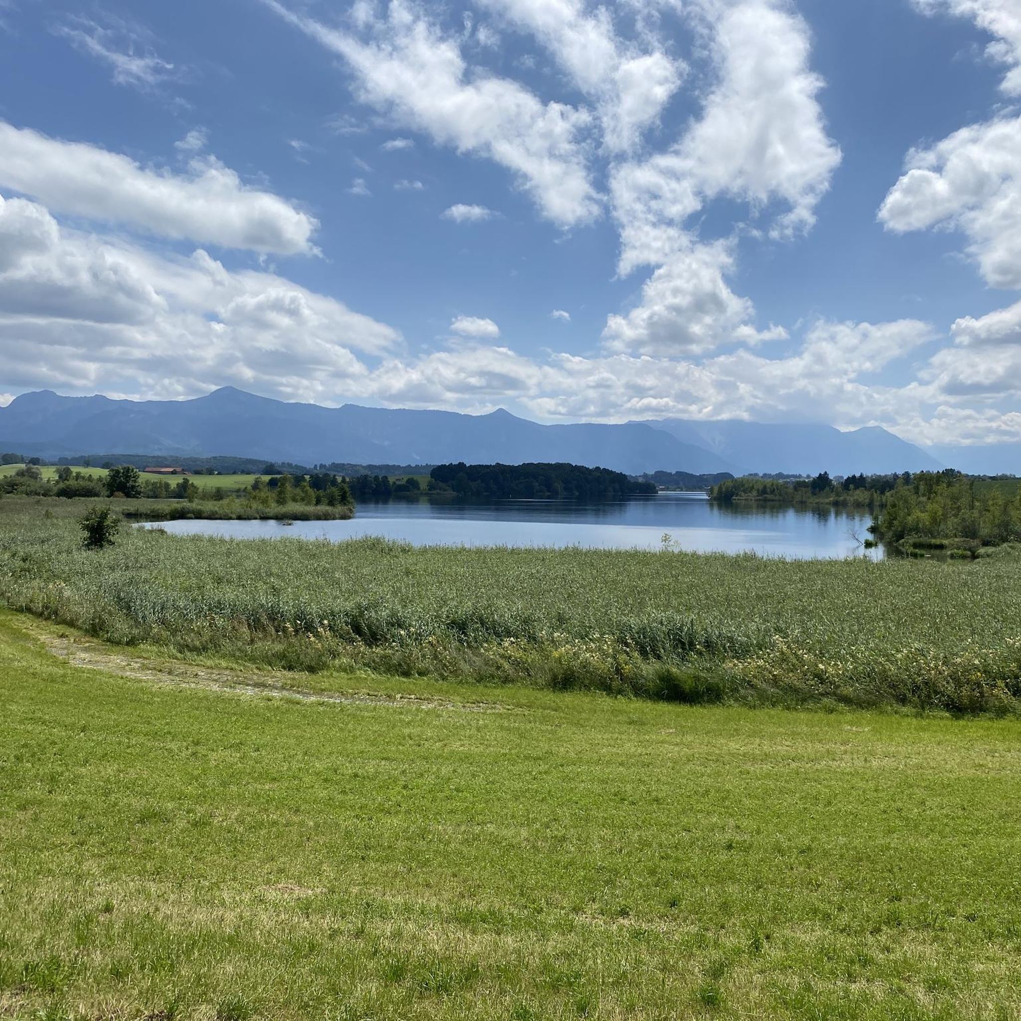
The Osterseen are a group of bodies of water south of Lake Starnberg in the Weilheim-Schongau district in Upper Bavaria. The southern and central Osterseen with the Großer Ostersee belong to the municipality of Iffeldorf, the northern Osterseen from the Stechsee and the Frechensee to the municipality of Seeshaupt. Iffeldorf is around five kilometers by road northwest of Penzberg, 20 km southeast of the district town of Weilheim and 50 km south-southwest of Munich city centre. The 20 larger individual lakes have a total area of around 225 hectares and an average depth of a good nine metres. The Kleiner Gröbensee and about 15 unnamed smaller lakes, each with an area of only a few hundred square meters, are not included here, seven of which are already heavily silted up. The Osterseen and the silting-up zone bordering to the west are located in the landscape protection area "Protection of the Osterseen and their surroundings in the communities of Frauenrain, Iffeldorf and Seeshaupt". The area received this protection status as early as 1955. Since 1981 there has also been the Osterseen nature reserve with an area of 1,083 hectares. About a third of this is on the surface of the water bodies, 494 hectares are high, low and intermediate moors, 172 hectares consist of semi-natural mixed forest. Around five percent of the Osterseen landscape consists of riparian regions, silted-up areas and meadows. The nature reserve is divided into three parts, which are separated from each other by the train line of the Kochelseebahn and the state road 2063: Südliche Osterseen, Nordliche Osterseen and Frechensee. In May 1997, the Osterseen were reported to Brussels as a SPA (European bird sanctuary) and FFH area according to the Fauna-Flora-Habitat Directive. In addition to the Eggstätt-Hemhofer lake district and the Seeoner lakes, the area is the largest and most structured icefall landscape in the Bavarian Alpine foothills. The complex of boggy and nutrient-poor lakes, low, transitional and raised bogs alongside bog and swamp forests with its extraordinary diversity of species in the networked habitats, biotopes and ecological niches is of Europe-wide importance for basic scientific research. The beauty of this landscape has always attracted artists. The painter Georg Schrimpf in particular, a main representative of the New Objectivity art movement, created several oil paintings of the Osterseen in the 1930s. Source: https://de.wikipedia.org/wiki/Osterseen
7
0

Always a dream to go here to enjoy nature
6
2

Bavarian State Office for the Environment (Osterseen Icefall Landscape): https://www.lfu.bayern.de/geologie/bayerns_schoenste_geotope/33/index.htm https://www.lfu.bayern.de/geologie/bayerns_schoenste_geotope/33/doc/33_schautafel.pdf “The Blue Pump The Osterseen are mainly fed by groundwater, which emerges in numerous spring funnels. The best known is the Blaue Gumpe south of the Großer Ostersee. The walls of its spring funnel are covered with white deposits of freshwater lime, which is excreted from the lime-rich spring water. Since the groundwater has a relatively constant temperature of 10°C, the water surface does not freeze in winter. Steam hangs over the spring on cold winter days.” Bank 51 is nearby.
3
0
Bavarian State Office for the Environment (Osterseen Icefall Landscape): https://www.lfu.bayern.de/geologie/bayerns_schoenste_geotope/33/index.htm https://www.lfu.bayern.de/geologie/bayerns_schoenste_geotope/33/doc/33_schautafel.pdf “The Blue Pump The Osterseen are mainly fed by groundwater, which emerges in numerous spring funnels. The best known is the Blaue Gumpe south of the Großer Ostersee. The walls of its spring funnel are covered with white deposits of freshwater lime, which is excreted from the lime-rich spring water. Since the groundwater has a relatively constant temperature of 10°C, the water surface does not freeze in winter. Steam hangs over the spring on cold winter days.” Bank 51 is nearby.
5
1

보드워크는 약 60cm 폭이며 일부 판자는 더 이상 신뢰할 수 없습니다. 하지만 길은 정말 정말 멋집니다! 히스 및 황무지 풍경. 배경에는 항상 산이 있습니다. 중간쯤에는 보호된 휴식 공간이 있습니다. 지하수로 공급되는 미네랄이 풍부한 저지대 습지와는 달리, 빗물로 공급되는 미네랄과 영양분이 부족한 고지대 습지는 완전히 다른 종류의 식생을 보여줍니다. 이끼류와 풀(주로 사초과 식물과 벼과 식물)이 낮은 이끼와 초본층을 형성합니다. 배수가 되지 않으면 자연적으로 숲이 없습니다. 이끼류는 모든 고지대 습지의 가장 중요한 구성 요소입니다. 최대 15cm까지 자라면서 동시에 생성되는 이탄에서 죽어갑니다. 따라서 고지대 습지는 평균 1mm씩 자랍니다. 죽은 이끼는 순수한 이탄으로 압축됩니다. https://www.murnauermoos.de/index.php/natur-u-landschaft/das-moor
9
2
This of many other springs in the Osterseen is located in the shore area. You can go directly over this groundwater source via a footbridge. Crystal clear water lets you see down to the bottom. Very beautiful!
10
1

스파첸하우젠 주변에서 가장 인기 있는 명소


더 살펴보기
스파첸하우젠 주변의 최고의 동굴을 찾기 위해 이 가이드를 확인해보세요:
