세센하우젠에서 가장 멋진 20개의 자전거 공원
세센하우젠에 있는 멋진 자전거 공원에서 재미있는 추억을 만들어볼까요? 커뮤니티가 공유한 컬렉션을 아래에서 살펴보면서 가장 멋진 자전거 공원 트레일을 찾아보세요. 자전거 공원 지도와 상세 정보를 클릭하면 원하는 자전거 공원을 다음 모험 계획에 간편하게 추가할 수 있어요.
마지막 업데이트: 10월 25, 2026
테크닉 트레일 입구(드롭 구간 포함)
하이라이트 • 트레일
번역자 Google •
팁에 의해

로마 트레일 (S2)
하이라이트 (구간) • 트레일
Level of difficulty S2, from my point of view.
번역자 Google •
팁에 의해

이런 장소를 발견하려면 지금 가입하세요
최고의 싱글 트랙, 봉우리 및 다양한 흥미로운 야외 장소에 대한 추천을 받아보세요.
더트파크 베스터발트
하이라이트 • MTB 공원
번역자 Google •
팁에 의해

Westerwald의 오래된 S2 트레일
하이라이트 (구간) • 트레일
번역자 Google •
팁에 의해

기어스호펜 숲 MTB 트레일
하이라이트 (구간) • MTB 공원
번역자 Google •
팁에 의해

무료로 가입하여 세센하우젠 주변의 더 많은 자전거 공원을 발견하세요.
이미 komoot 계정이 있나요?
오늘 무료 계정으로 시작하세요
다음 모험이 기다리고 있어요.
커뮤니티 팁

There's an uphill trail right next to it, so you can do a few laps there.👍😊
1
0

There is a well-mobile forest path, right next to this special MTB trail. You have to be careful not to miss the entrance to the trail ;-).
1
0
Here is a MTB "park" with various ramps, etc... Some parts of the terrain are covered. Doesn't seem to be used in winter, but overall it's an attractive area for mountain bikers
2
0

Dirt parks, dirt jump trails or slopestyle parcours are descriptions of a sports area that is used by mountain bikers and BMX riders to propel their bikes into the air and to practice tricks. The sports facilities, which are mostly located on level surfaces, are already widespread and it is impossible to imagine life without them. A good dirt park is characterized by the fact that both beginners and professionals alike can use the range of ramps, hills and obstacles and have fun together. The different lines consist of several jumps lined up in a row – also called ramps or dirts. These lines and jumps are divided into different levels of difficulty and thus serve every skill level. Jumps for beginners are called tables or tablelines. This English Concept is fathomed in the shape of this earth-made “jumping hill” that resembles a table with a side ascent and descent. Due to the level surface between take-off and landing, the table is the ideal training object for beginners and advanced users, since a jump that is too short does not end in the empty space between take-off and landing. The risk of injury is thus minimized and the obstacle can simply be "run over" without having to jump over it with the dirt bike. Jumps for advanced and professionals are called doubles. This term describes a jumping hill, which consists only of a kicker (jumping hill) and a landing hill. Consequently, this means that a predetermined distance must be covered between take-off and landing in order to land a trick safely. It is therefore not possible to “run over” a double. The term Slopestyle Parcour describes a facility on which professional riders can compete against each other on a route prepared with wooden ramps and obstacles - also in the form of an organized competition. By the way: An excellent and often used addition to dirt parks are pump tracks. These round off the offer and increase the attractiveness of this sports facility for a broader community of interests. Source: Radquartier Parks
1
0


This trail was also blocked by hardworking citizens.
1
0

S3 is more appropriate here - on the left it goes steeply downwards, on the right it is often vertically up - sometimes the trail is too narrow to descend and that on loose ground. Up Hill only for S5 specialists
0
2

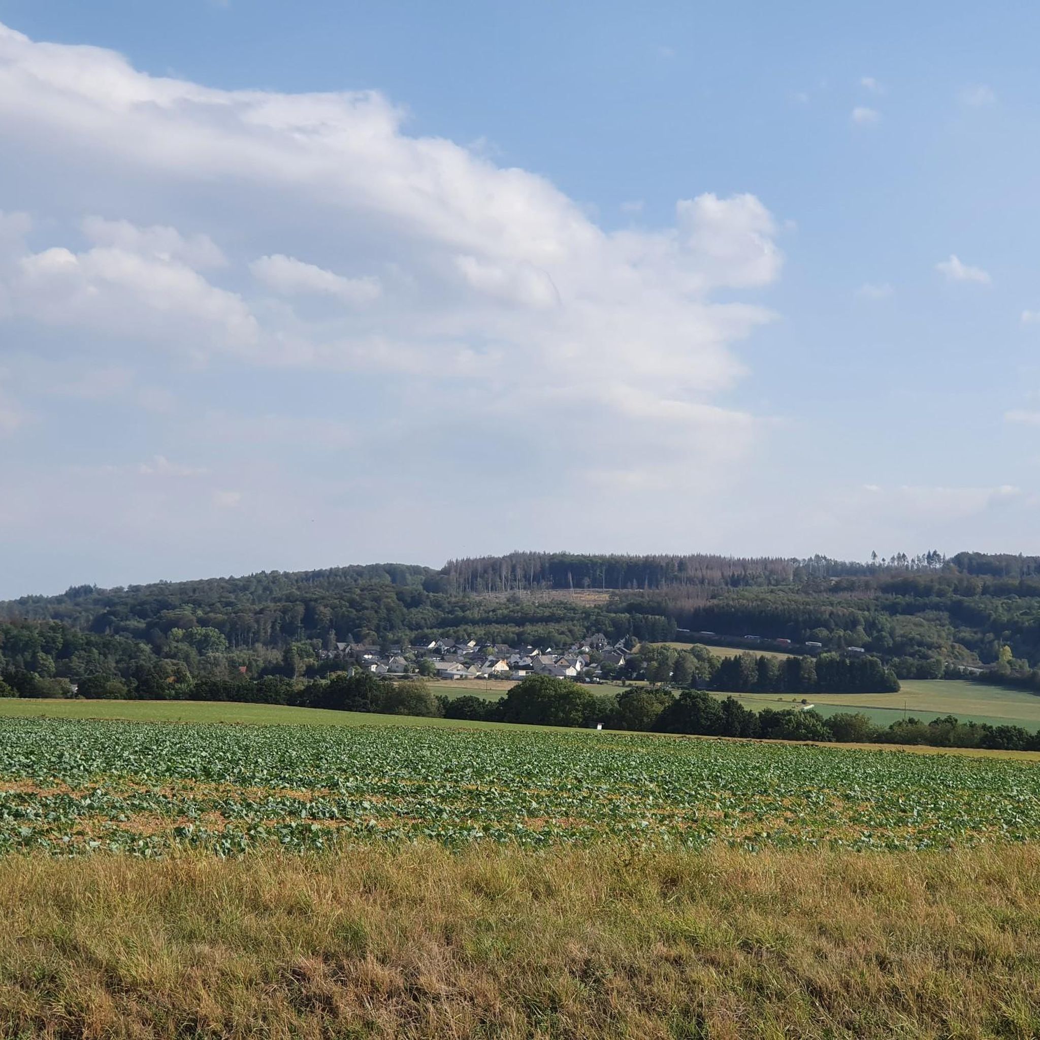
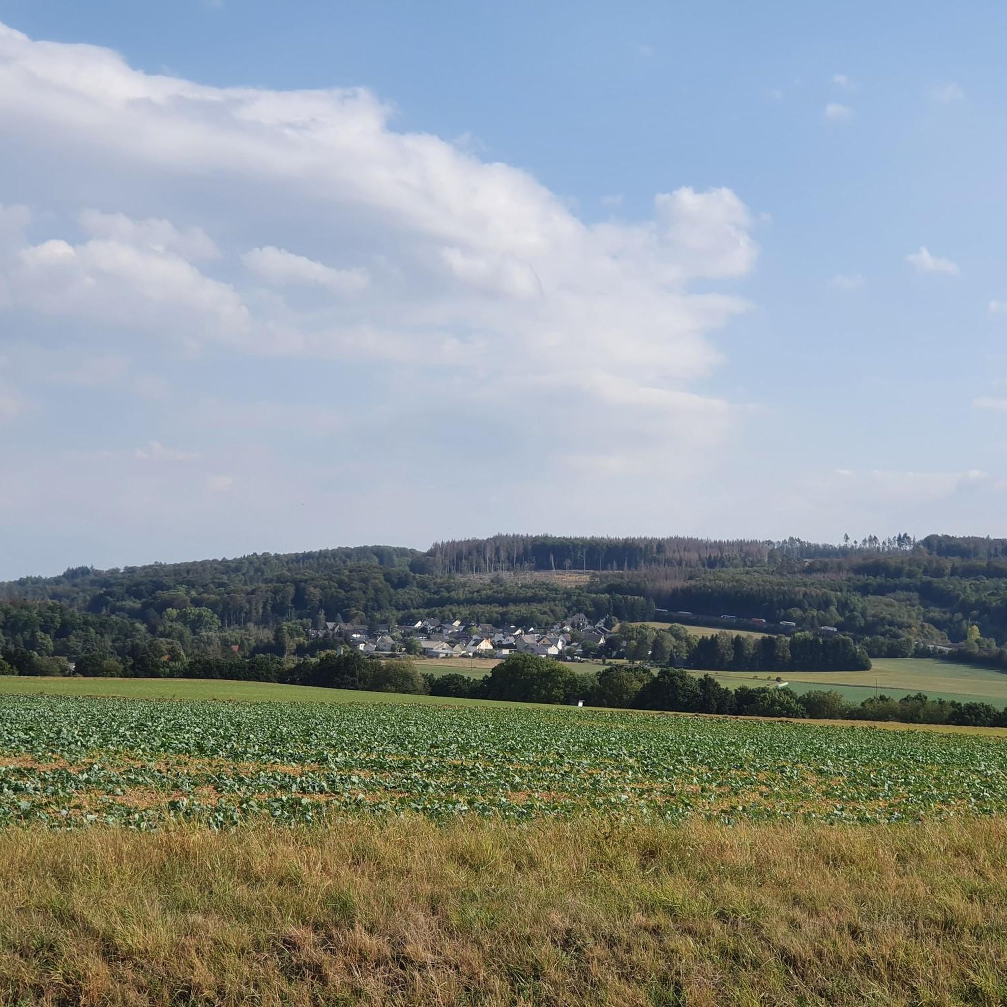
Nice path with a great view into the Sayntal, in my opinion more S0-S1.
2
0
세센하우젠 주변에서 가장 인기 있는 명소


더 살펴보기
완벽한 자전거 공원을 아직 찾고 계신가요? 이 장소의 가이드를 확인해보세요:
