시그에서 가장 멋진 9개의 산길
시그에서 가장 멋진 산길을 아래에서 살펴보세요. 풍경을 감상하기에도 좋고, 오르막길/내리막길을 따라 걷기에도 좋은 곳이랍니다. 커뮤니티가 특별 도움을 통해 공유한 콘텐츠인 만큼 믿을 수 있는 정보이니 마음에 드는 산길이 있다면 바로 다음 모험 계획에 추가해서 바로 방문해보세요.
마지막 업데이트: 10월 11, 2026
브라이텐베르크 정상
하이라이트 • 정상
번역자 Google •
팁에 의해


이런 장소를 발견하려면 지금 가입하세요
최고의 싱글 트랙, 봉우리 및 다양한 흥미로운 야외 장소에 대한 추천을 받아보세요.
테겔베르크반 계곡역
하이라이트 • 휴식 공간
번역자 Google •
팁에 의해

자텔 뵈저 트리트에서의 전망
하이라이트 • 전망대
번역자 Google •
팁에 의해

파울렌바흐에서 티롤로 가는 랜덴샤르테 횡단
하이라이트 (구간) • 산악 고개
번역자 Google •
팁에 의해

무료로 가입하여 시그 주변의 더 많은 산악 고개를 발견하세요.
이미 komoot 계정이 있나요?
오늘 무료 계정으로 시작하세요
다음 모험이 기다리고 있어요.
시그 주변 인기 장소
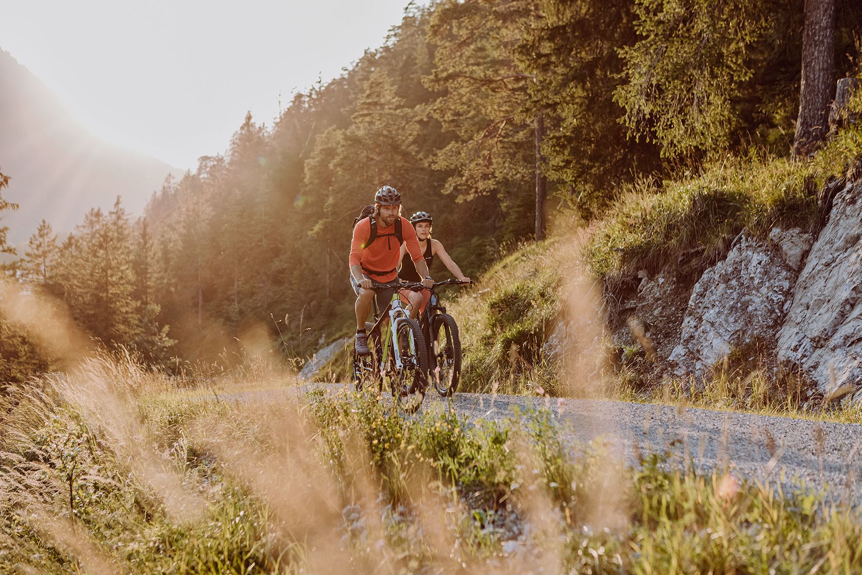
Alpine panorama and mountain huts – nature biking in Germany’s Allgäu
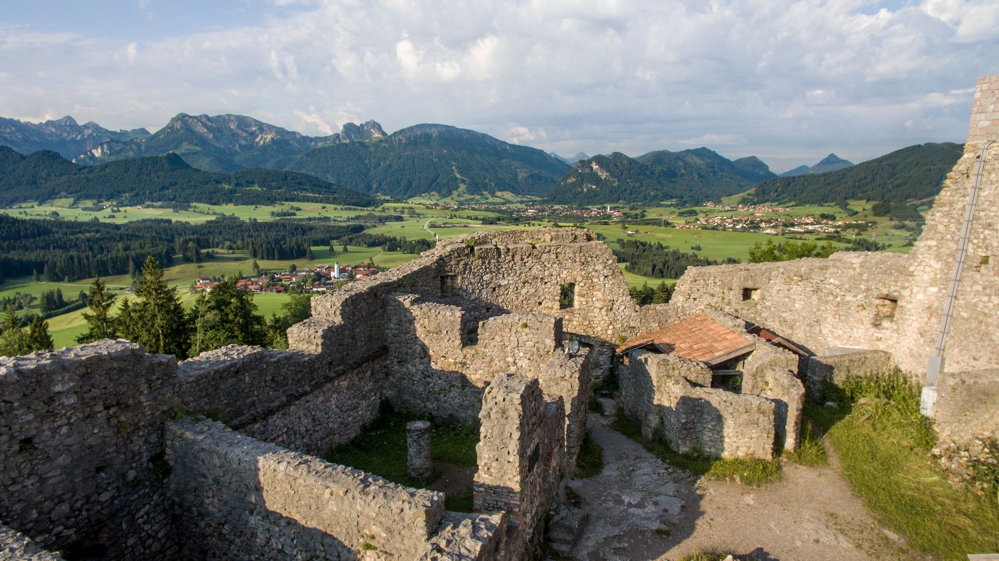
A feast for your eyes – hike in Germany’s beautiful Ostallgäu

Peaks, lakes와 royal castles – the Königsalpen Route in Bavaria’s Ostallgäu
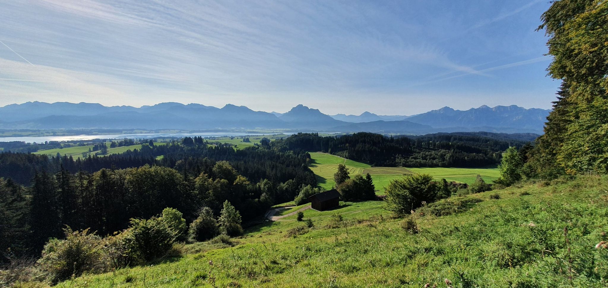
커텐 업, 자연 영화 상영 중! — 독일 오스트알고이의 Logenplatz 루트
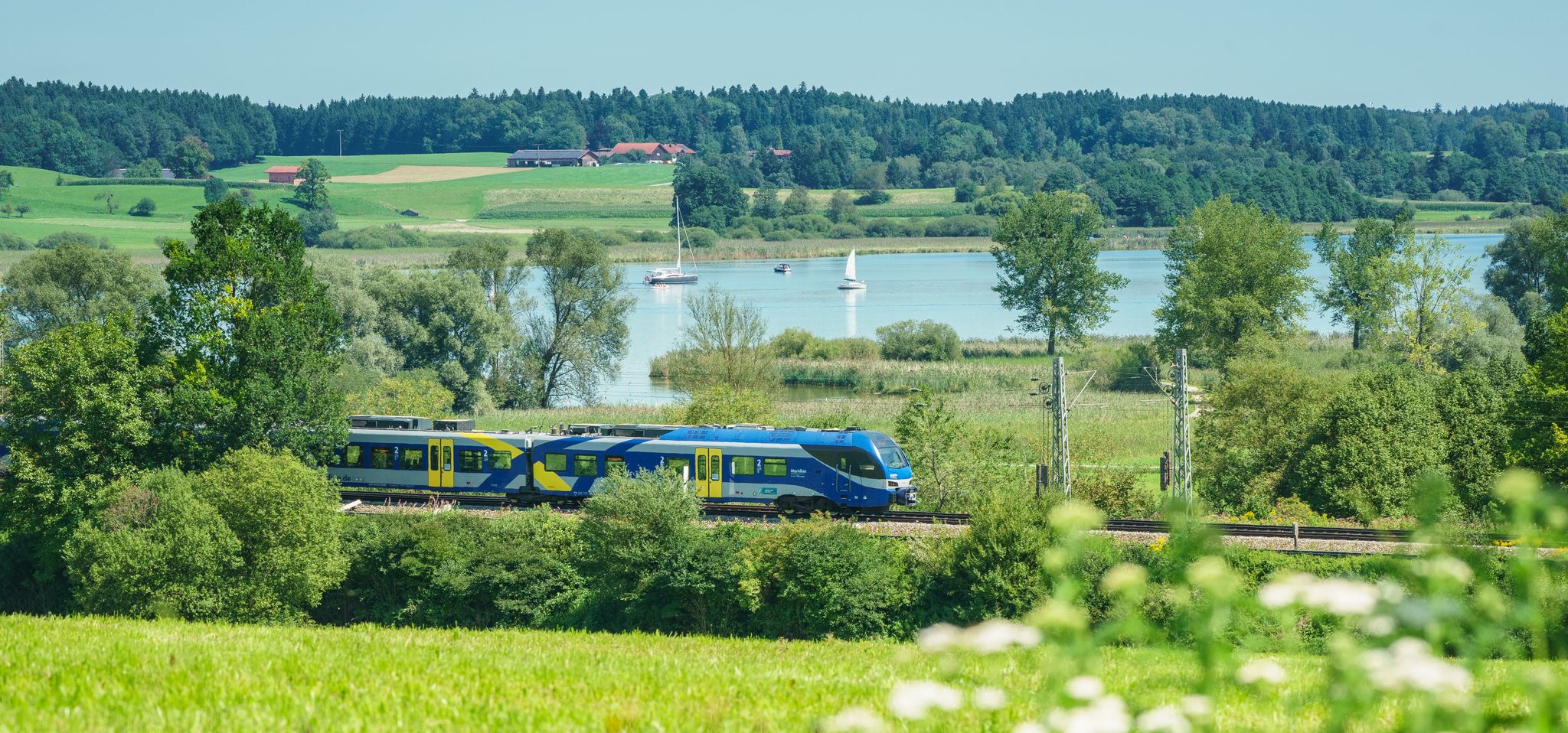
Out of the city – summer retreats with the Bavarian Regiobahn
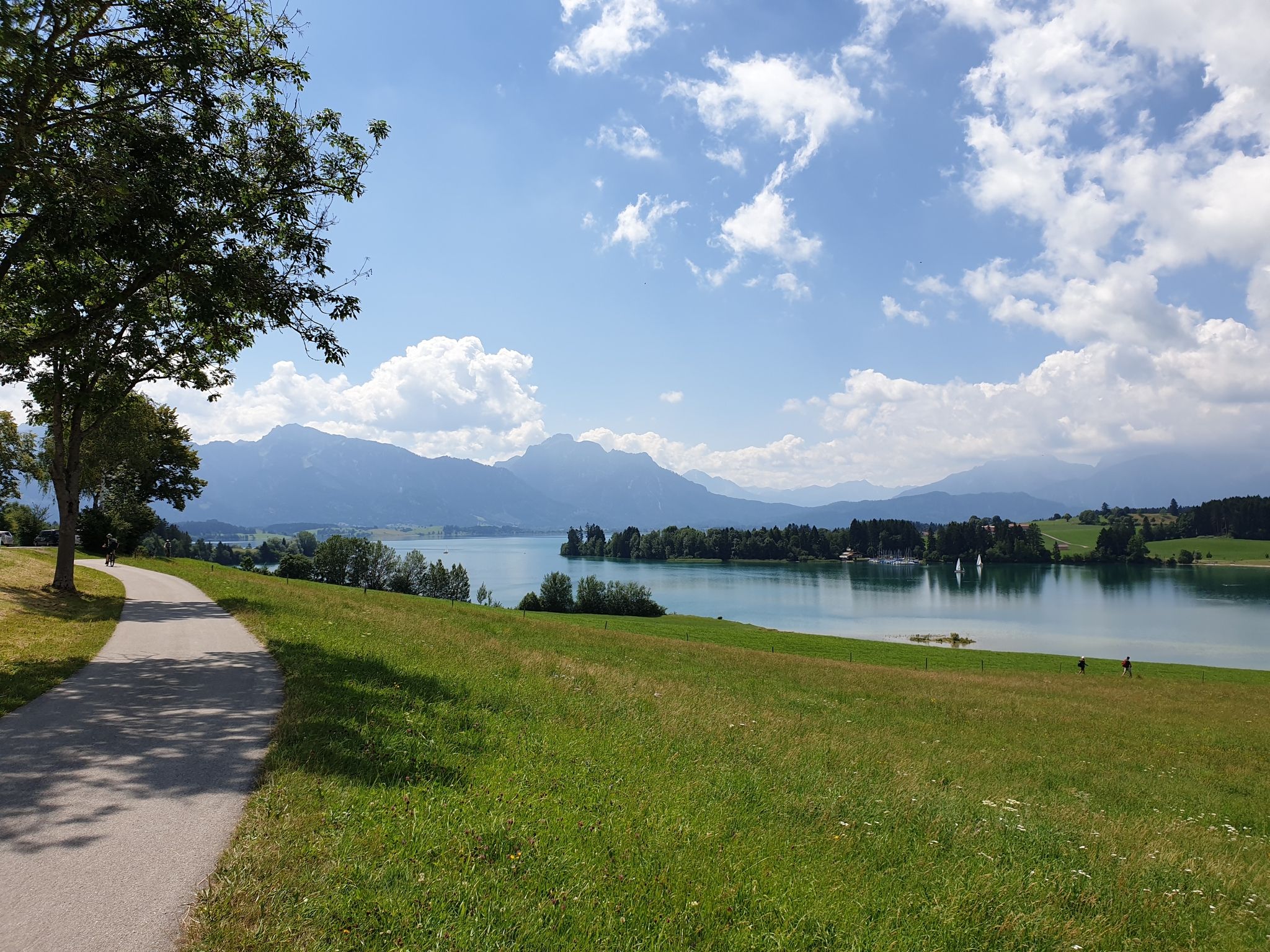
Historic landscapes, palaces & castles – cycling in the Schlosspark in Allgäu
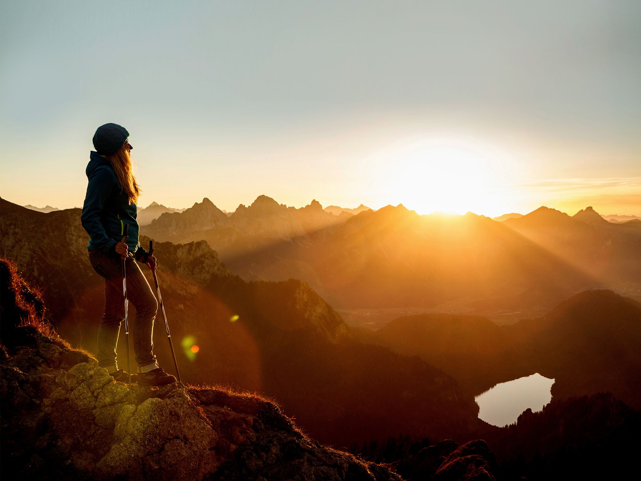
Autumn hikes in Bavaria

시그 하이킹

시그 사이클링

시그 MTB 트레일
시그 주변의 다른 모험


커뮤니티 팁

A very easy-to-hike mountain, easily accessible both on foot and by gondola.
3
0

The saddle has an impressive name. So don't miss it!
8
0

From here you can head towards Brentenjoch, but only in top conditions and only if you are sure-footed and have a head for heights.
4
0

The steep gravel path up is torture, but the view is worth it.
4
0

The 1838 meter high Breitenberg near Pfronten is a relatively easy mountain to climb, and from the summit it offers a beautiful view down into the Allgäu. Several paths of varying steepness lead up in 2 - 2.5 hours, a complete crossing takes about 5 hours. An easy and long path starts on the west side north of the German-Austrian border. It is even easier to take the cable car to the saddle between Breitenberg and Aggenstein. The Ostlerhütte is right on the summit. On the steep north side is the Tirolerstadl and behind it a challenging path to the summit. In winter there is a ski area on the Breitenberg. Source: https://allgaeu-erleben.com/0404-breitenberg.php
4
0

On the tour, the mountain catches your eye more and more often
9
1

The mountain won’t let you go for a long time
6
0

Great view of the two Aggenstein peaks, which seem almost impregnable from the north.
5
0


더 살펴보기
이 가이드를 통해 더 많은 장대한 산악 통과를 확인해보세요 시그 주변:
