경로플래너기능업데이트
App
로그인 또는 가입
앱 다운로드
로그인 또는 가입
경로
Places to see
Natural Monuments
오스트리아
리엔츠
이스트 티롤

라이작

라이작‬에서 가장 멋진 ‪20‬개의 천연기념물

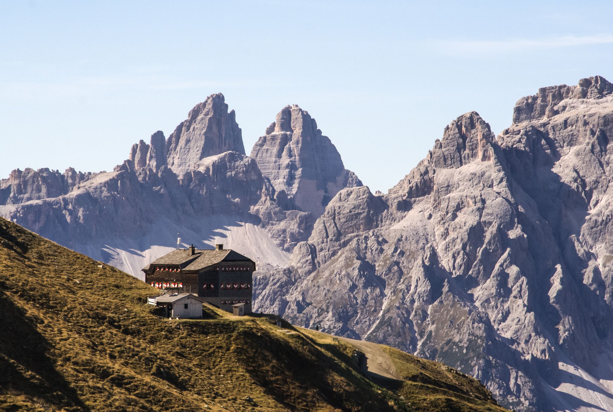
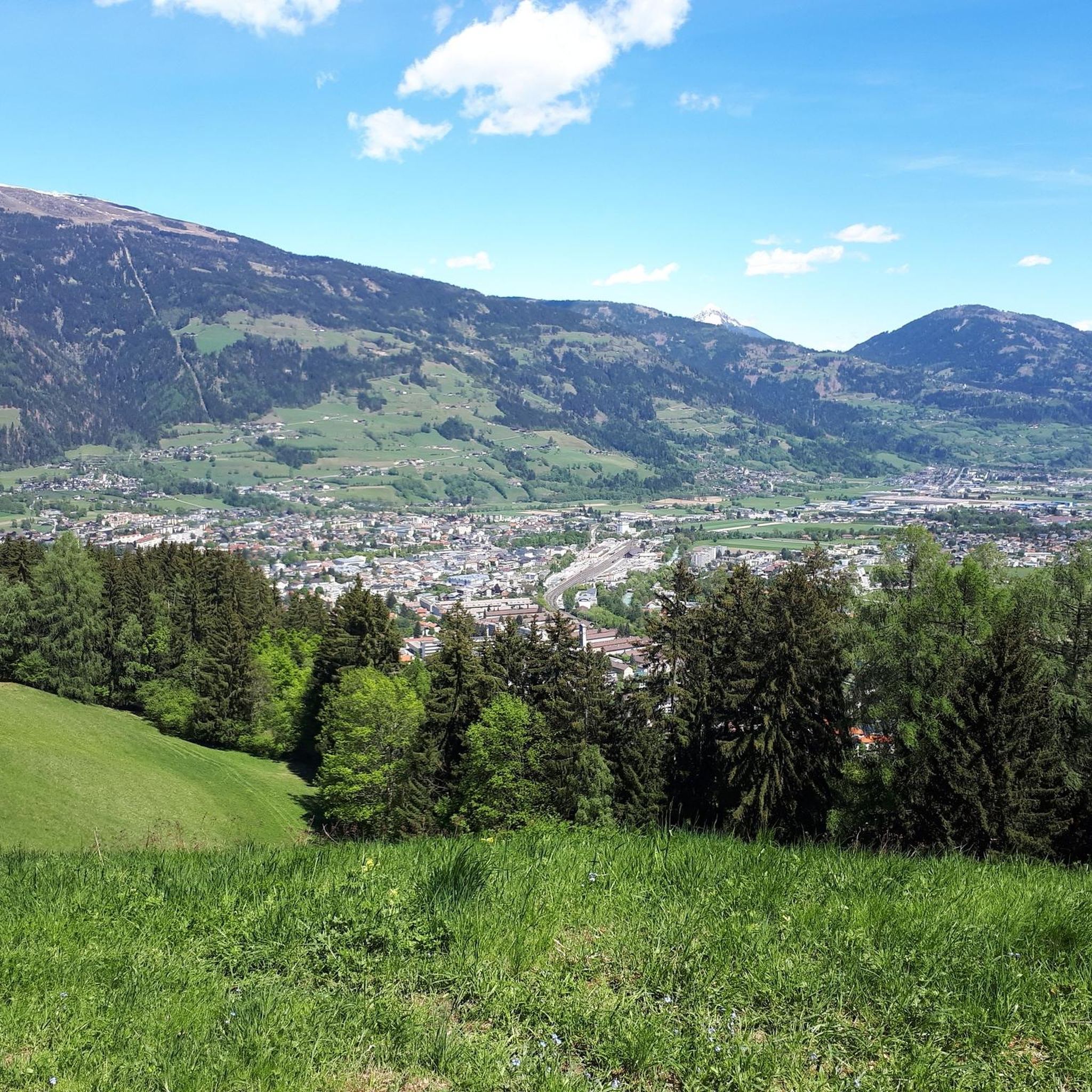
Leisach 주변의 최고의 자연 기념물에는 유명한 봉우리와 자연 협곡이 포함됩니다. Leisach는 오스트리아 동부 티롤 지역에 위치하며, 리엔츠 돌로미테와 호헤 타우에른 국립공원 근처의 풍경을 특징으로 합니다. 이 지역은 산봉우리부터 맑은 고산 호수까지 다양한 자연 지형을 탐험할 수 있도록 제공합니다. 이러한 자연 명소는 야외 애호가들에게 다양한 경험을 선사합니다.

Leisach 주변의 최고의 자연 기념물

  • 가장 인기 있는 자연 기념물은 레이저 호수로, 하이킹할 가치가 있으며 가족에게 접근 가능한 호수입니다. 이 산악 호수는 청록색 물을 특징으로 하며 근처 산장의 식수 공급원으로 사용됩니다.
  • 또 다른…

마지막 업데이트: 10월 11, 2026

노이알프 호수

하이라이트 • 호수

The lake landscape of the Neualplseen at 2,436 m is beautifully embedded southeast of the almost 3,000 m high Schleinitz and south of the eastern Sattelkopf.

번역자 Google •

팁에 의해

하이킹 보기휴대폰으로 전송
저장

갈리첸클람 협곡

하이라이트 • 협곡

The Galitzenklamm is a water adventure park. Among other things, you can explore a forest ropes course and a water trail. Children can let off steam at the water playground. …

번역자 Google •

팁에 의해

저장

이런 장소를 발견하려면 지금 가입하세요

최고의 싱글 트랙, 봉우리 및 다양한 흥미로운 야외 장소에 대한 추천을 받아보세요.

무료 회원 가입

뵈제스 바이벨레 정상

하이라이트 • 정상

What a great all-round view
A dream

번역자 Google •

팁에 의해

저장

갈리첸클람 협곡 & 비아 페라타

하이라이트 (구간) • 등반

The Wasserschaupfad and the via ferrata are part of the water park Galitzenklamm.

The Wasserschaupfad runs on comfortable footbridges and allows everyone to explore the imposing gorge with its roaring …

번역자 Google •

팁에 의해

저장

데반탈

하이라이트 • 협곡

With a total length of 16 kilometers, the Debanttal is the longest self-contained alpine valley in Austria. It is also part of the Hohe Tauern National Park.

The end of …

번역자 Google •

팁에 의해

저장

무료로 가입하여 라이작 주변의 더 많은 자연 기념물을 발견하세요.

무료 회원 가입

이미 komoot 계정이 있나요?

오늘 무료 계정으로 시작하세요

다음 모험이 기다리고 있어요.

로그인 또는 가입하기

라이작 주변 인기 장소

Alpine bliss on the long-distance hiking trails in East Tyrol

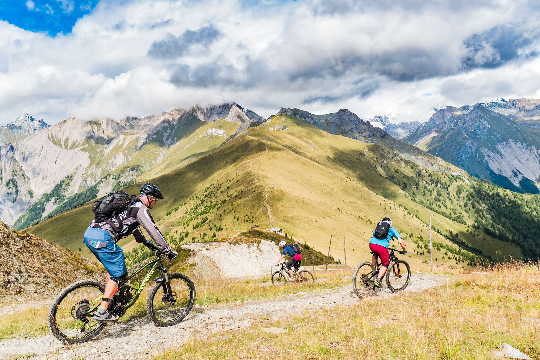
Unlimited mountain bike fun – singletrack paradise in East Tyrol

라이작 로드 사이클링 경로

라이작 사이클링

라이작 MTB 트레일

라이작 하이킹

라이작 러닝 트레일

라이작 등산

라이작 주변 그래블 라이딩

라이작 주변의 다른 모험

Alpine bliss on the long-distance hiking trails in East Tyrol

하이킹 컬렉션 에 의해

Osttirol

커뮤니티 팁

Funkymaus🇦🇹
5월 15, 2024, Galitzenklamm

Nice rest stop

번역: Google•

5

0

It is true that the mountain is easy to reach, since you can drive up to 2,000 meters in altitude! BUT!! IT IS NOT A HIKE BUT A MOUNTAIN TOUR! This is a tour at 2,500 meters in altitude with partly strong winds and rapidly changing weather! The last piece is a partly exposed rocky path that requires sure-footedness and good shoes! Therefore absolutely not an easy hiking destination for children, even if there are experienced children who can reach the summit!

번역: Google•

3

1

A mountain with a wonderful 360 degree view! Since you can drive up to 2,000 meters in altitude by car, there is a temptation to set off without the right equipment. We are in high alpine terrain at 2,500 meters in altitude with often strong winds and rapidly changing weather. The last piece is a rocky climb where good shoes and sure-footedness are essential!

번역: Google•

1

0

Easy to reach, small but nice panoramic mountain. Although you are at a low altitude, you still have a nice view.

번역: Google•

2

1

Syd71
10월 31, 2021, Galitzenklamm

A very curious statue and a nice place to stop for a beer.

4

0

Niklas
10월 21, 2021, Galitzenklamm

Great gorge !!! with adventure park

번역: Google•

4

0

Niklas
10월 21, 2021, Galitzenklamm

Beautifully situated on the Drau. The cycle path is very well developed

번역: Google•

4

0

Easy to reach even with children from the parking lot at the Hochstein Hütte. You come to a height that can otherwise only be reached by mountain railway

번역: Google•

1

2

라이작 주변에서 가장 인기 있는 경로

라이작 로드 사이클링 경로

라이작 주변에서 가장 인기 있는 명소

Places to see

Store rating

komoot 모바일 앱으로 영감을 받아보세요

무료 komoot 계정로 끝없는 야외 모험을 손쉽게 찾고, 맞춤 설정하며 길안내할 수 있어요.

또는

지금 komoot에 가입하세요
Store rating

더 살펴보기

라이작 주변의 최고의 동굴을 찾기 위해 이 가이드를 확인해보세요:

하이 타우에른오스티롤의 마트레이칼 암 ​​그로스글로크너Defereggen의 Sankt Jakob버겐실리안프라그라텐 암 그로스베네디거Defereggen의 St. Veit카르티치하인펠스이너빌그라텐누스도르프-데반트슈트라센가임베르그성 요한 임 발데아우서빌그라텐돌자흐턴아이넷Defereggen의 Hopfgarten오버리엔츠트리스타치암락니콜스도르프라반트오베르틸리악슐라이텐압팔터스바흐운터틸리악안라스

근처 어드벤처 가이드

암락 즐길거리

background

새로운 정복을 위한 준비를 하세요

무료로 가입하기
탐험하기
경로경로 플래너기능바우처 사용하이킹MTB 트레일로드 사이클링 경로바이크패킹사이트맵
앱 다운로드
소셜 미디어에서 팔로우하기

© komoot GmbH

개인 정보 보호 정책