프랑켄펠스에서 가장 멋진 7개의 산길
프랑켄펠스에서 가장 멋진 산길을 아래에서 살펴보세요. 풍경을 감상하기에도 좋고, 오르막길/내리막길을 따라 걷기에도 좋은 곳이랍니다. 커뮤니티가 특별 도움을 통해 공유한 콘텐츠인 만큼 믿을 수 있는 정보이니 마음에 드는 산길이 있다면 바로 다음 모험 계획에 추가해서 바로 방문해보세요.
마지막 업데이트: 10월 11, 2026

바스틀 암 발트 고개
하이라이트 • 산악 고개
번역자 Google •
팁에 의해

이런 장소를 발견하려면 지금 가입하세요
최고의 싱글 트랙, 봉우리 및 다양한 흥미로운 야외 장소에 대한 추천을 받아보세요.
안나베르크 고개 (976m)
하이라이트 • 산악 고개
번역자 Google •
팁에 의해

Traisental에서 Pielachtal로
하이라이트 (구간) • 산악 고개
번역자 Google •
팁에 의해

안나베르크 고개 정상 (976m)
하이라이트 (구간) • 산악 고개
번역자 Google •
팁에 의해

무료로 가입하여 프랑켄펠스 주변의 더 많은 산악 고개를 발견하세요.
이미 komoot 계정이 있나요?
오늘 무료 계정으로 시작하세요
다음 모험이 기다리고 있어요.
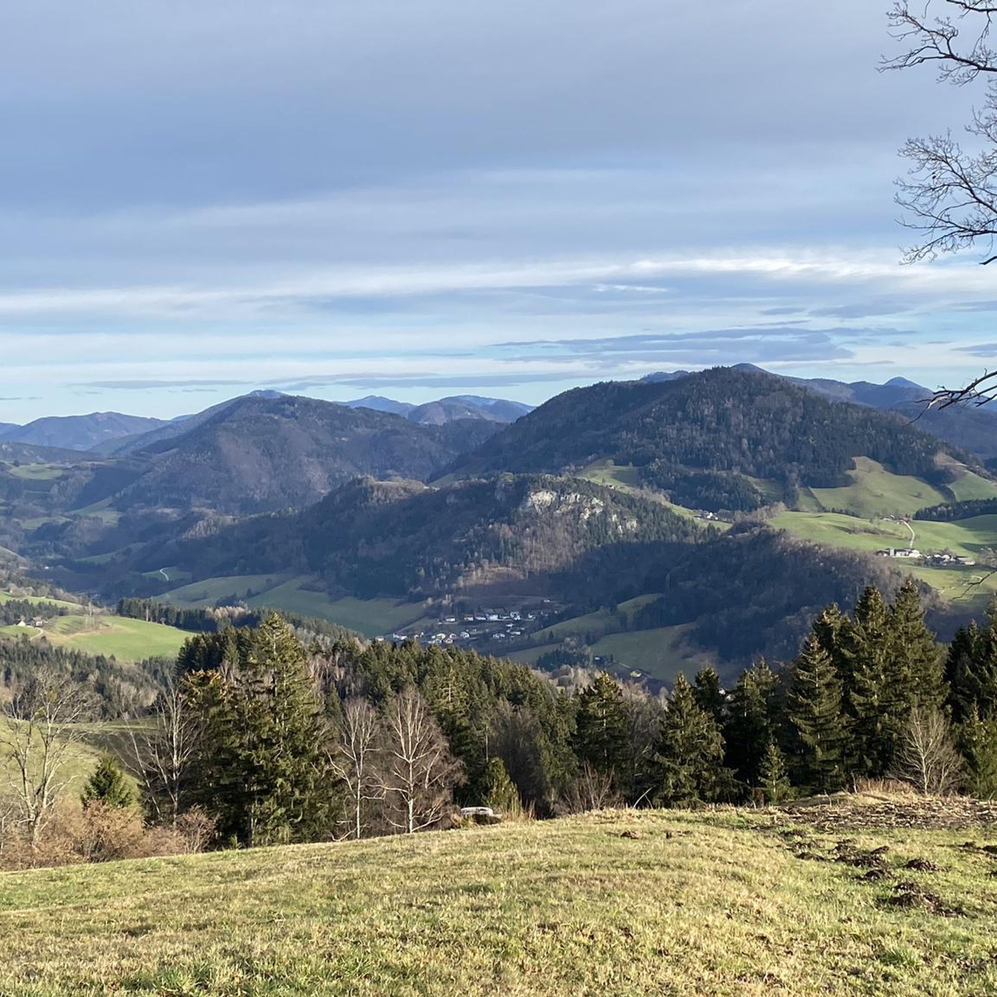
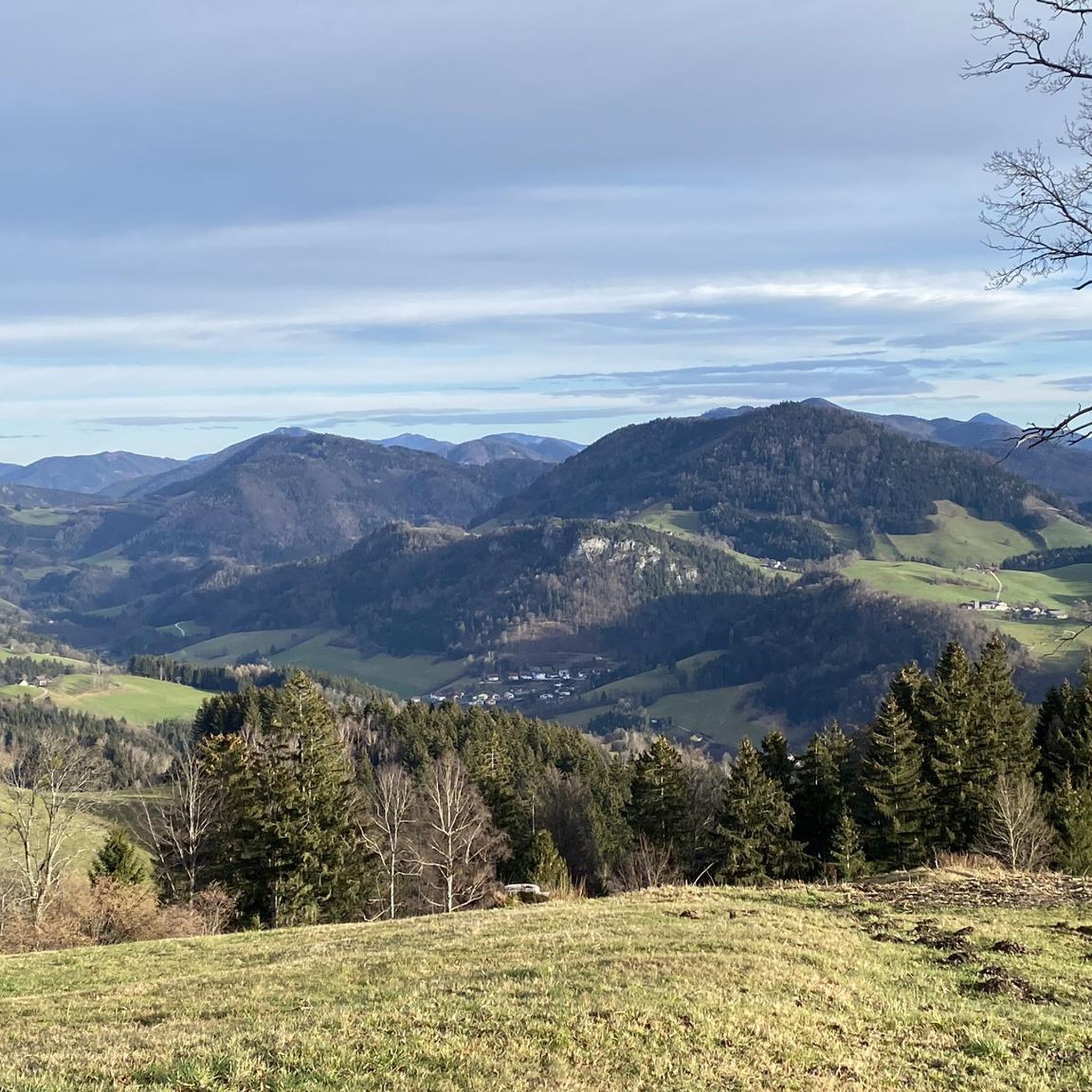
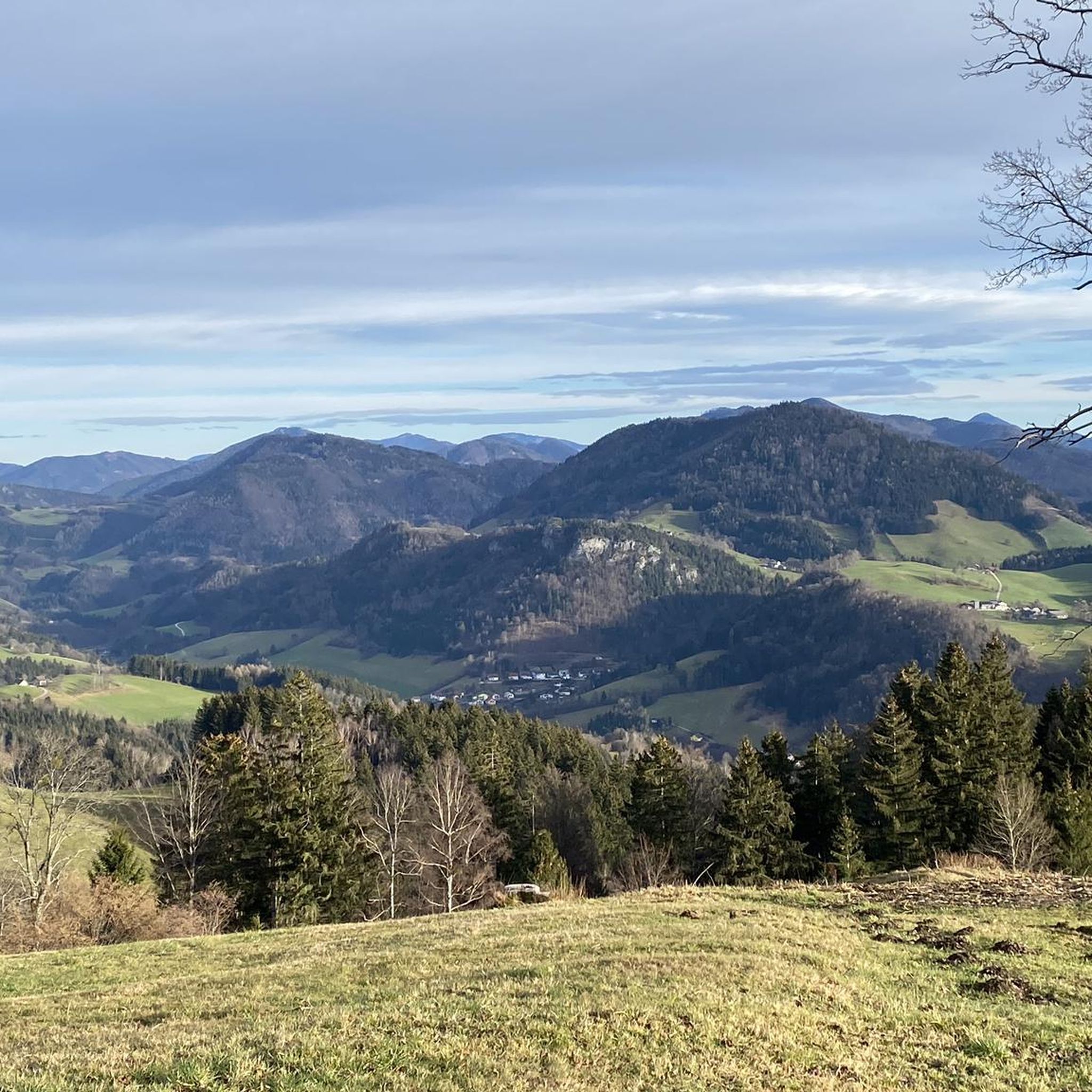
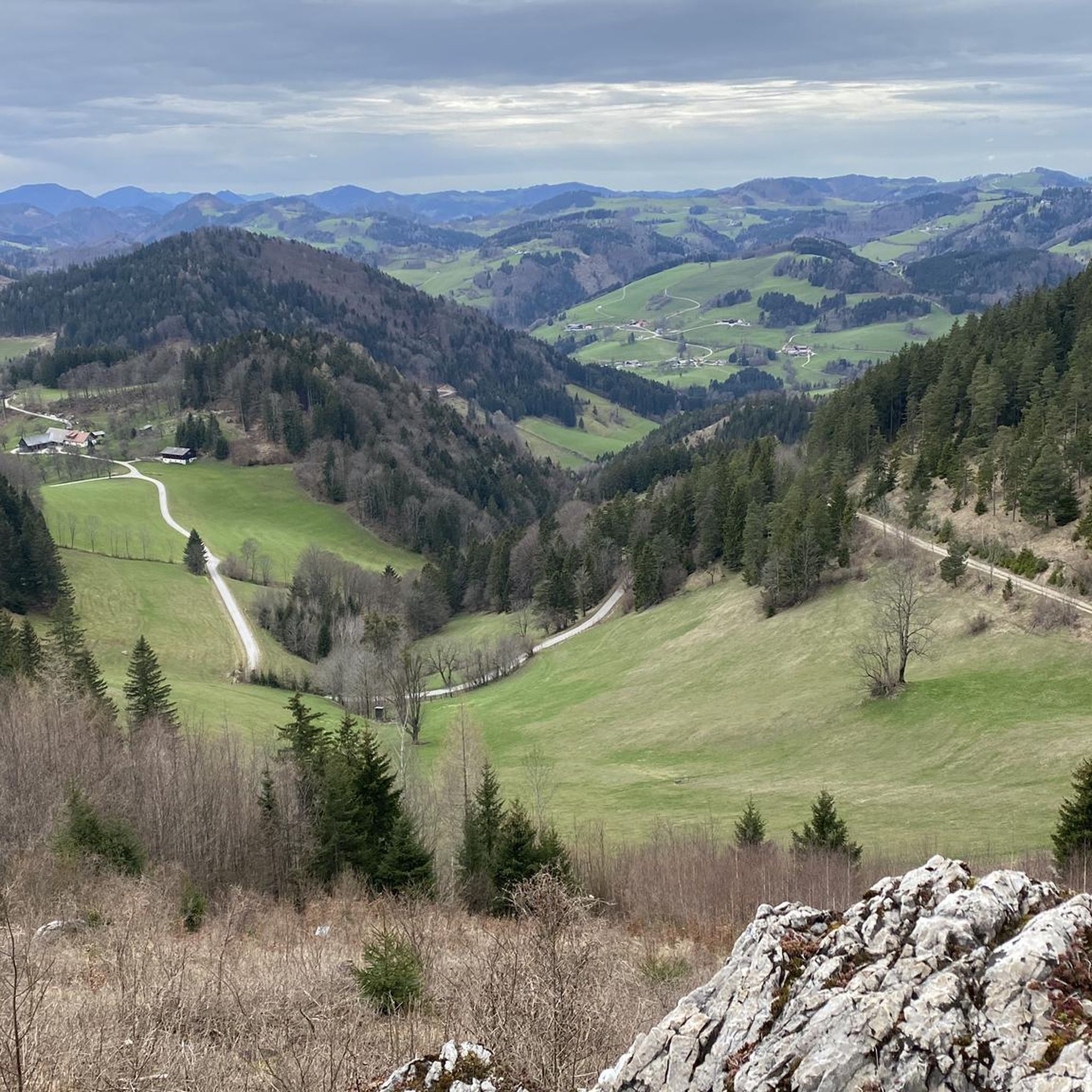
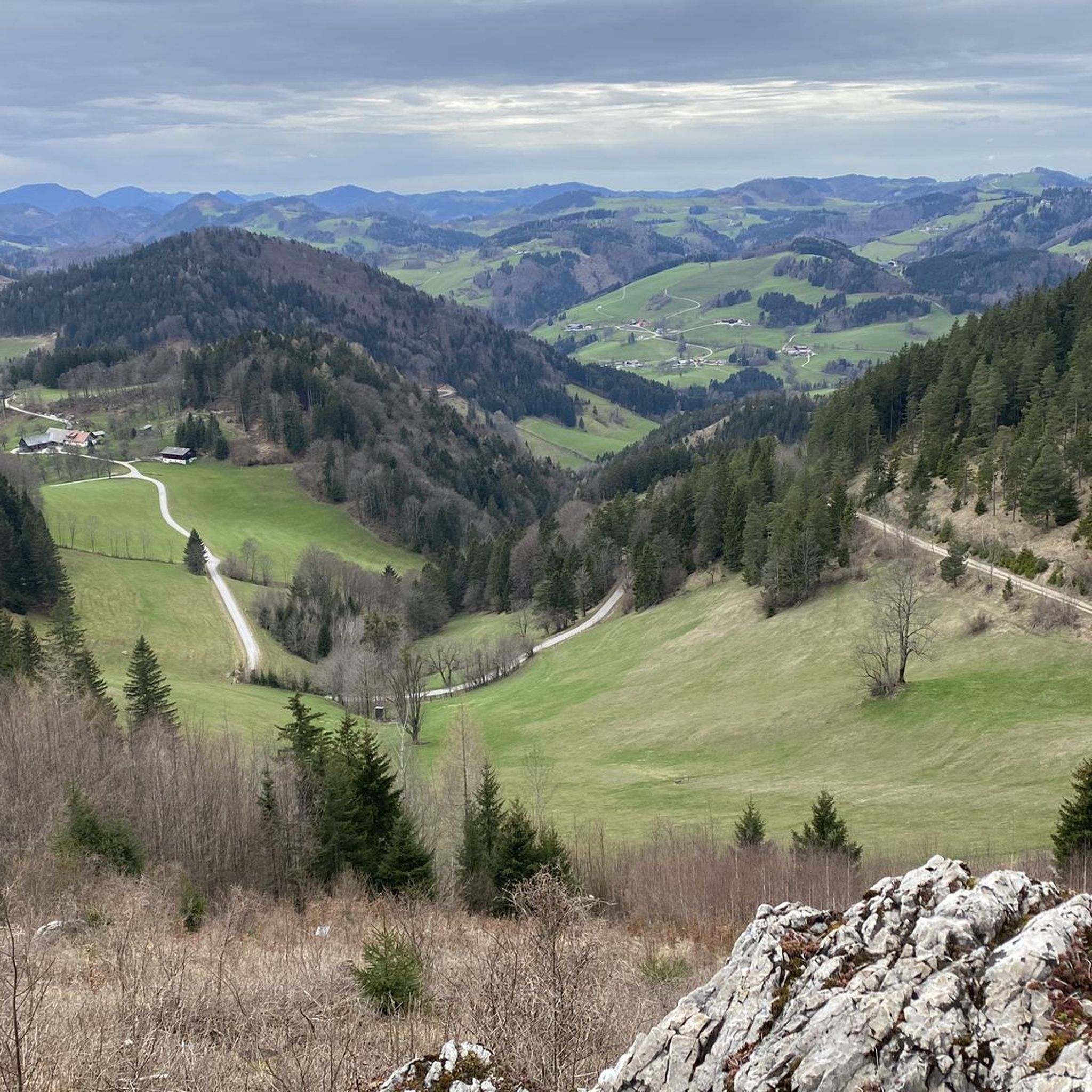

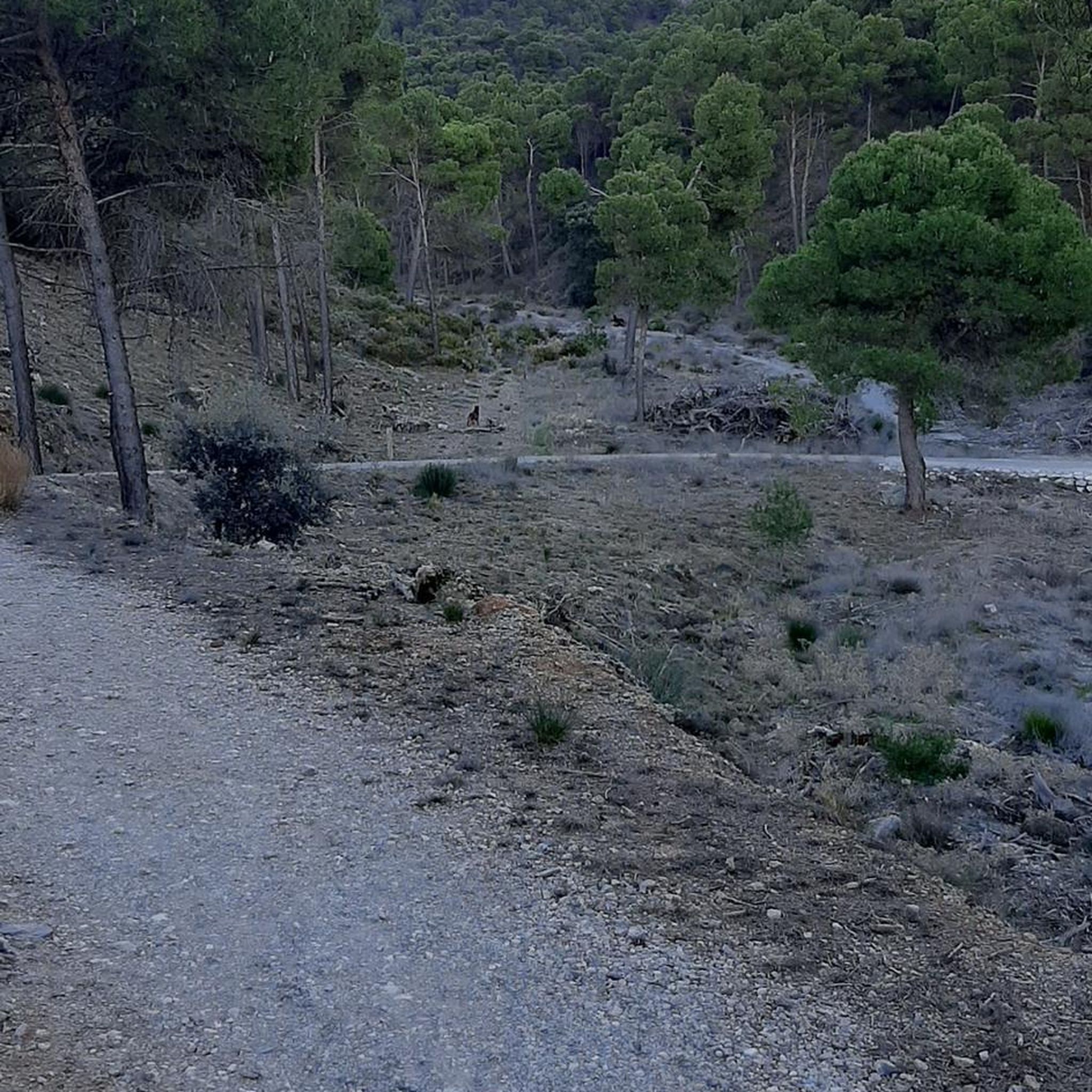
커뮤니티 팁


Apart from a few reckless motorcyclists, there was relatively little traffic on a Saturday in early July. But I'm not sure if I'll drive over the pass again any time soon - the Ötscher Panorama Road option is much more spectacular in terms of scenery.
0
0


From WASTL to ANNAALM about 1 hour ... good food ... nice VIEW
1
0

Very nice little pass, but also heavily used by motorbikes at the wrong time...ideal for a lap on the panoramic road past the Treffling Falls Nature Park... The Treffling Falls are an insider tip - not as busy as the Ötschergräben, but also SPECTACULAR!
2
0

The Luftberg is located in the Mostviertel region of the federal state of Lower Austria, about 30 kilometers by road south of the state capital of St. Pölten. Coming from the northern Danube region, the road connects the villages of Kettenreith and Kirchberg an der Pielach via the Luftberg. Together with the neighboring crossings Plankenstein (670 m), Wetterlucke (543 m) and Kohlenberg (437 m), the Luftberg represents the first real hurdle in the (Melk) Alpine foothills. All of these mountain roads lead into the Pielachtal. From here, the 1,000-meter mark can already be overcome with the road via Wastl am Wald (1,110 m). Above all, north of the Luftberg, the gently hilly Mostviertel stretches out to the Danube. The countless cider pear trees and the mighty square farms in many places are typical of this region. Cyclists who cross this area from the Luftberg can reach the city of Melk with the famous Melk Abbey in less than an hour. Together with the Danube Cycle Path, the UNESCO World Heritage Site Wachau and the neighboring Waldviertel, a varied and very interesting racing bike area opens up to cyclists from the Luftberg. The Luftberg is particularly popular among local cyclists: First of all, it can be classified as rather easy in terms of the meters in altitude to be covered and the percentage of incline. Secondly, the road with its many curves on the Pielachtal side is very entertaining and interesting to drive - especially downhill: the downhill menu ranges from hairpin bends and curve combinations to a long high-speed curve. The best conditions to hone your cornering technique. It should not go unmentioned at this point that until 2005 the Uniqa-Classic stage cycle race, which was no longer held, often passed the Luftberg. (From 1953 to 2000 the race was called Vienna-Rabenstein-Gresten-Vienna.) The Luftberg heralded a mostly selective stage final, in which one or the other short climb had to be mastered to the finish in Rabenstein an der Pielach. Note: If you are looking for the Luftberg on the map, you will most likely not find it, since at the highest point of the road usually only "Wh. zur Luft” or something similar is entered on maps. The "Wh.", which stands for tavern, was closed a few years ago and does not refer to the street crossing.
3
0
Beautiful route with quite a few meters in altitude. It's worth it!
0
0
Beautiful on both sides. A classic in Lower Austria.
0
0
프랑켄펠스 주변에서 가장 인기 있는 명소


더 살펴보기
이 가이드를 통해 더 많은 장대한 산악 통과를 확인해보세요 프랑켄펠스 주변:
