미셸하우젠에서 가장 멋진 4개의 산길
미셸하우젠에서 가장 멋진 산길을 아래에서 살펴보세요. 풍경을 감상하기에도 좋고, 오르막길/내리막길을 따라 걷기에도 좋은 곳이랍니다. 커뮤니티가 특별 도움을 통해 공유한 콘텐츠인 만큼 믿을 수 있는 정보이니 마음에 드는 산길이 있다면 바로 다음 모험 계획에 추가해서 바로 방문해보세요.
마지막 업데이트: 10월 11, 2026

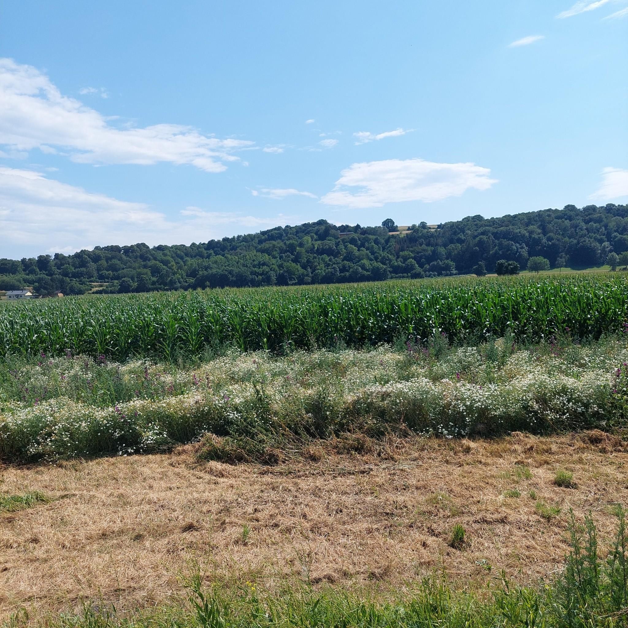
라우헨게른 고개 (413m)
하이라이트 • 산악 고개
번역자 Google •
팁에 의해

이런 장소를 발견하려면 지금 가입하세요
최고의 싱글 트랙, 봉우리 및 다양한 흥미로운 야외 장소에 대한 추천을 받아보세요.

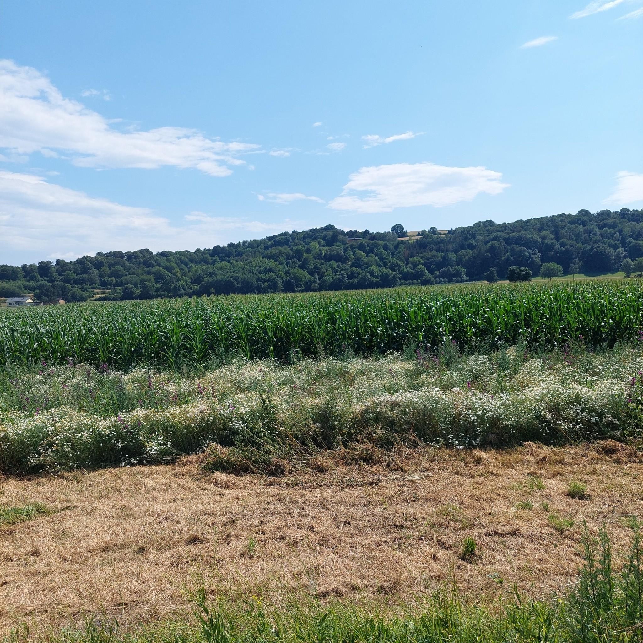
리더베르크회에 (417m)
하이라이트 • 산악 고개
번역자 Google •
팁에 의해

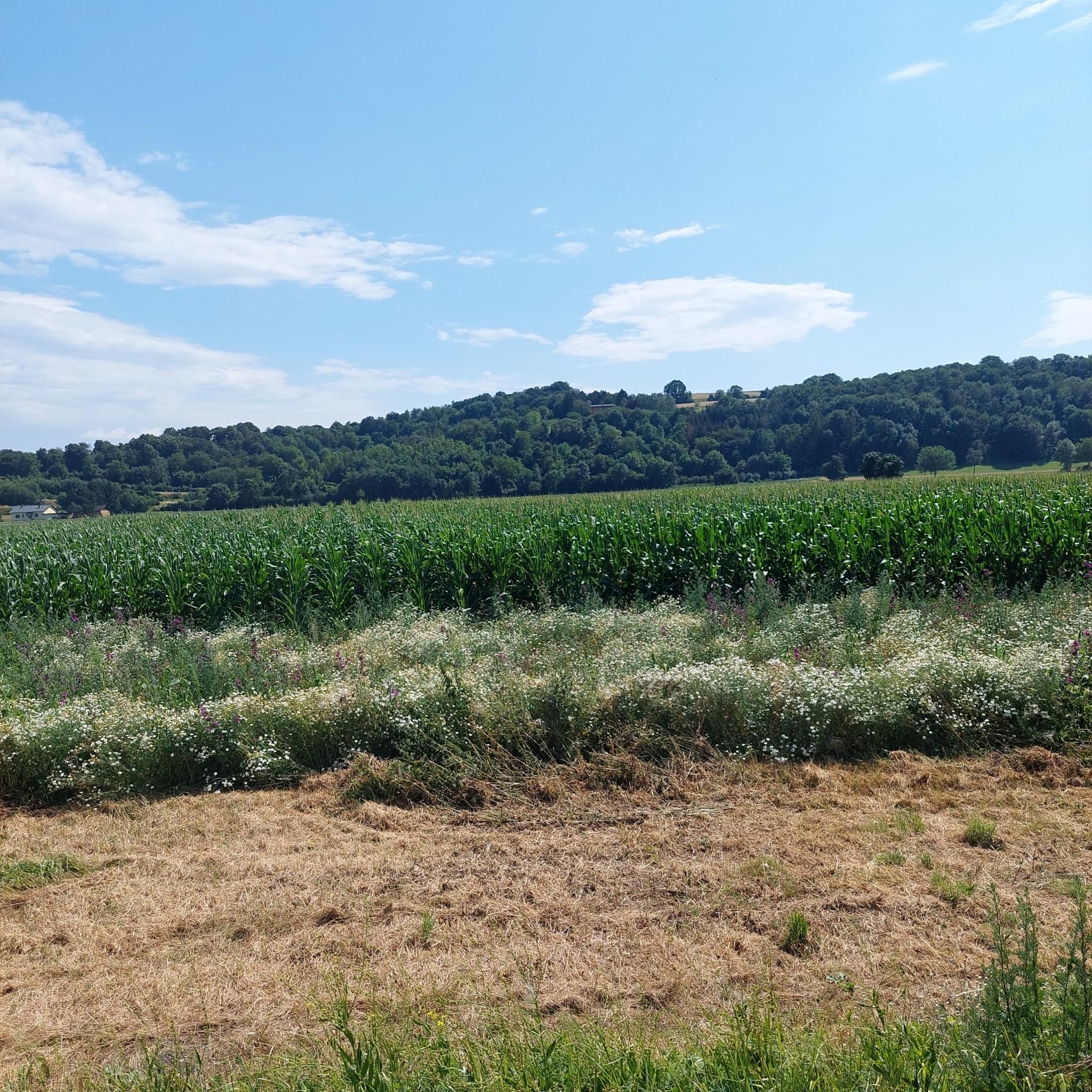
Flachbergstraße - 자연 그대로
하이라이트 • 산악 고개
번역자 Google •
팁에 의해

오늘 무료 계정으로 시작하세요
다음 모험이 기다리고 있어요.
커뮤니티 팁


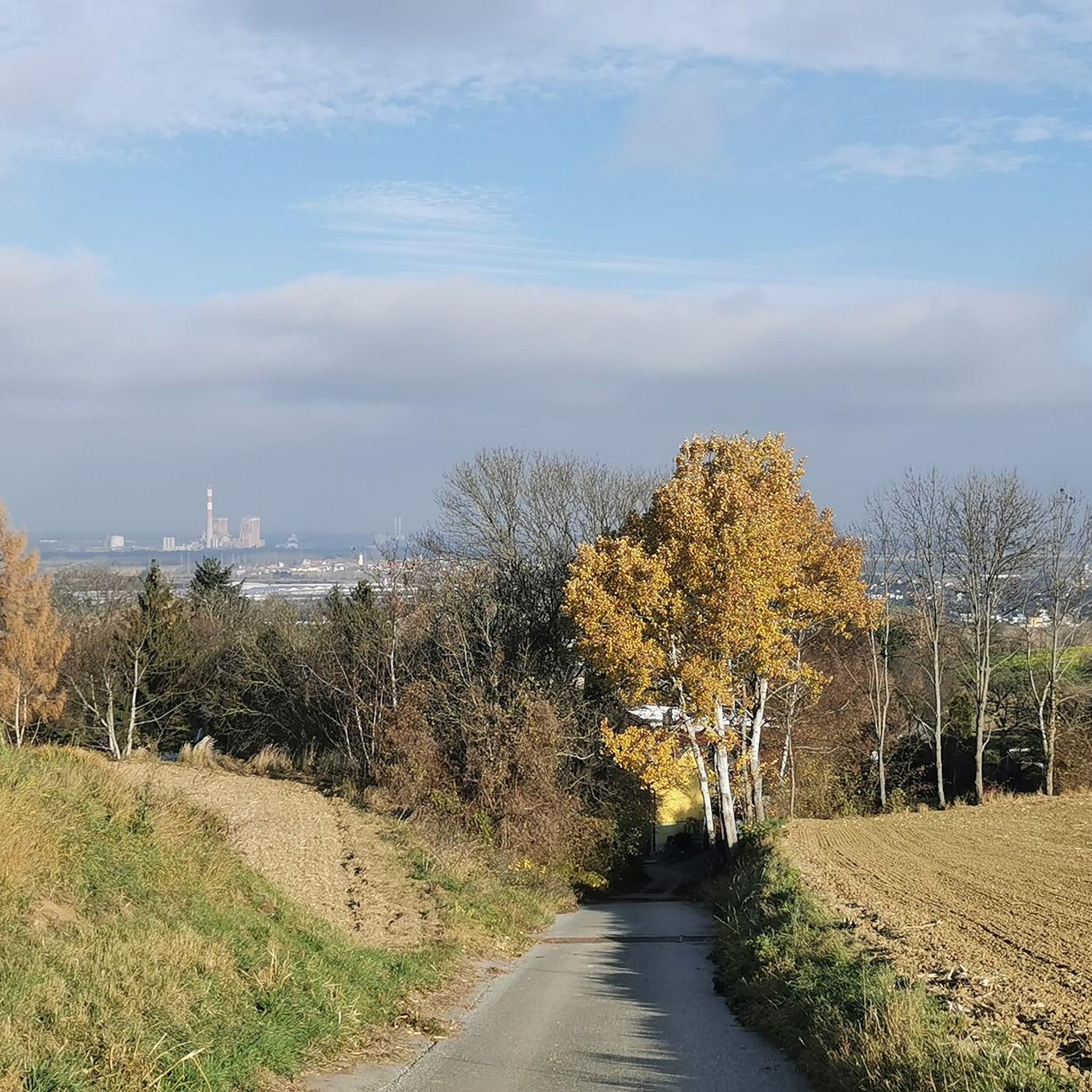
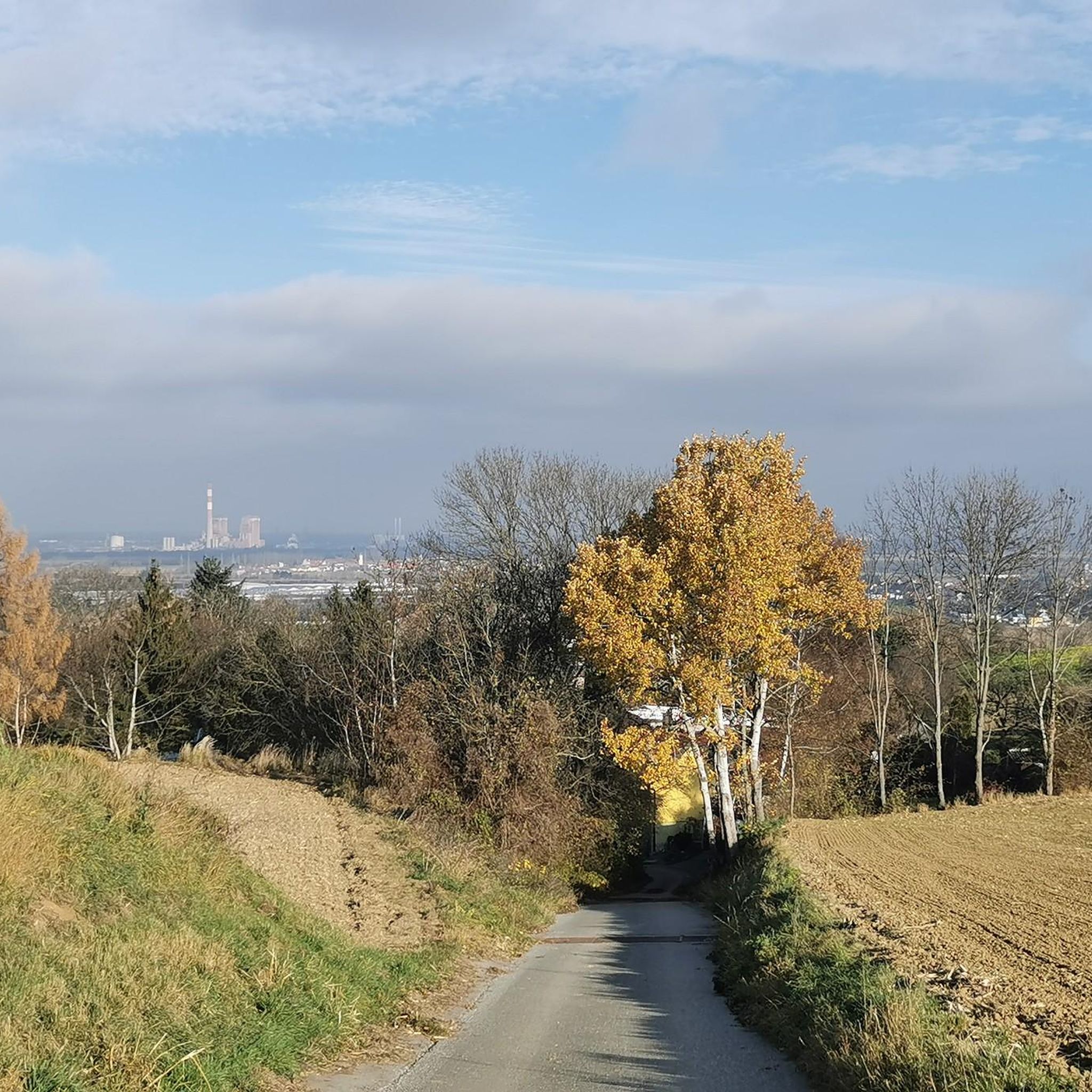
A very nice descent from Eilandberg to Sieghartskirchen. A pleasant gradient, even uphill, allows for a quick ride.
0
0

From here you can start hikes in all directions. The Wienerwald long-distance hiking trail 404 runs through here, which is unfortunately no longer maintained, and the Great Tullnerfeld circular hiking trail 475 also crosses the road, and the Way of St. James also passes not far away.
3
0

Hiking trail crosses B1. There is a bus stop but unfortunately no restaurant (as of May 2023)
2
0

There are many beautiful routes over the Vienna Woods hills to the Tullnerfeld. This one is the least recommendable one for me: a lot of traffic, which usually thunders past you quickly on the straight stretch and too narrowly when there is oncoming traffic, several trucks... Nope. Then rather Passauerhof or Königstetten or Irenental or Rauchengern or Geigelberg etc.
1
0

Easy climb, but you have to expect traffic, after all you are driving along the federal highway 1/
1
0
Crisp increase, contrary to the name.
0
0

The Flachberg, one could say, is the Koppenberg of the Tullnerfeld. It's not quite as steep, but just as straight as the mythical ascent in East Flanders. However, one key feature is missing here: the cobblestones. The Tullnerfeld (or Tullner Basin) reaches heights of between 200 and 170 meters. The Flachberg stands out noticeably with a height of 291 meters. Flachberg is the name of the place in the municipality of Sieghartskirchen, which is also the apex of the pass.
0
0
미셸하우젠 주변에서 가장 인기 있는 명소


더 살펴보기
이 가이드를 통해 더 많은 장대한 산악 통과를 확인해보세요 미셸하우젠 주변:
