운테른베르크에서 가장 멋진 5개의 산길
운테른베르크에서 가장 멋진 산길을 아래에서 살펴보세요. 풍경을 감상하기에도 좋고, 오르막길/내리막길을 따라 걷기에도 좋은 곳이랍니다. 커뮤니티가 특별 도움을 통해 공유한 콘텐츠인 만큼 믿을 수 있는 정보이니 마음에 드는 산길이 있다면 바로 다음 모험 계획에 추가해서 바로 방문해보세요.
마지막 업데이트: 9월 27, 2026
곤탈샤르테
하이라이트 • 산악 고개
번역자 Google •
팁에 의해

카치베르크에 오신 것을 환영합니다
하이라이트 • 산악 고개
번역자 Google •
팁에 의해

이런 장소를 발견하려면 지금 가입하세요
최고의 싱글 트랙, 봉우리 및 다양한 흥미로운 야외 장소에 대한 추천을 받아보세요.
Katschberghöhe
하이라이트 • 산악 고개
It rewards a challenging climb with double-digit gradients on both sides. However, the only truly beautiful aspect is …
번역자 Google •
팁에 의해

샤렉 전망(룽가우 마터호른)
하이라이트 • 전망대
번역자 Google •
팁에 의해

오늘 무료 계정으로 시작하세요
다음 모험이 기다리고 있어요.
커뮤니티 팁


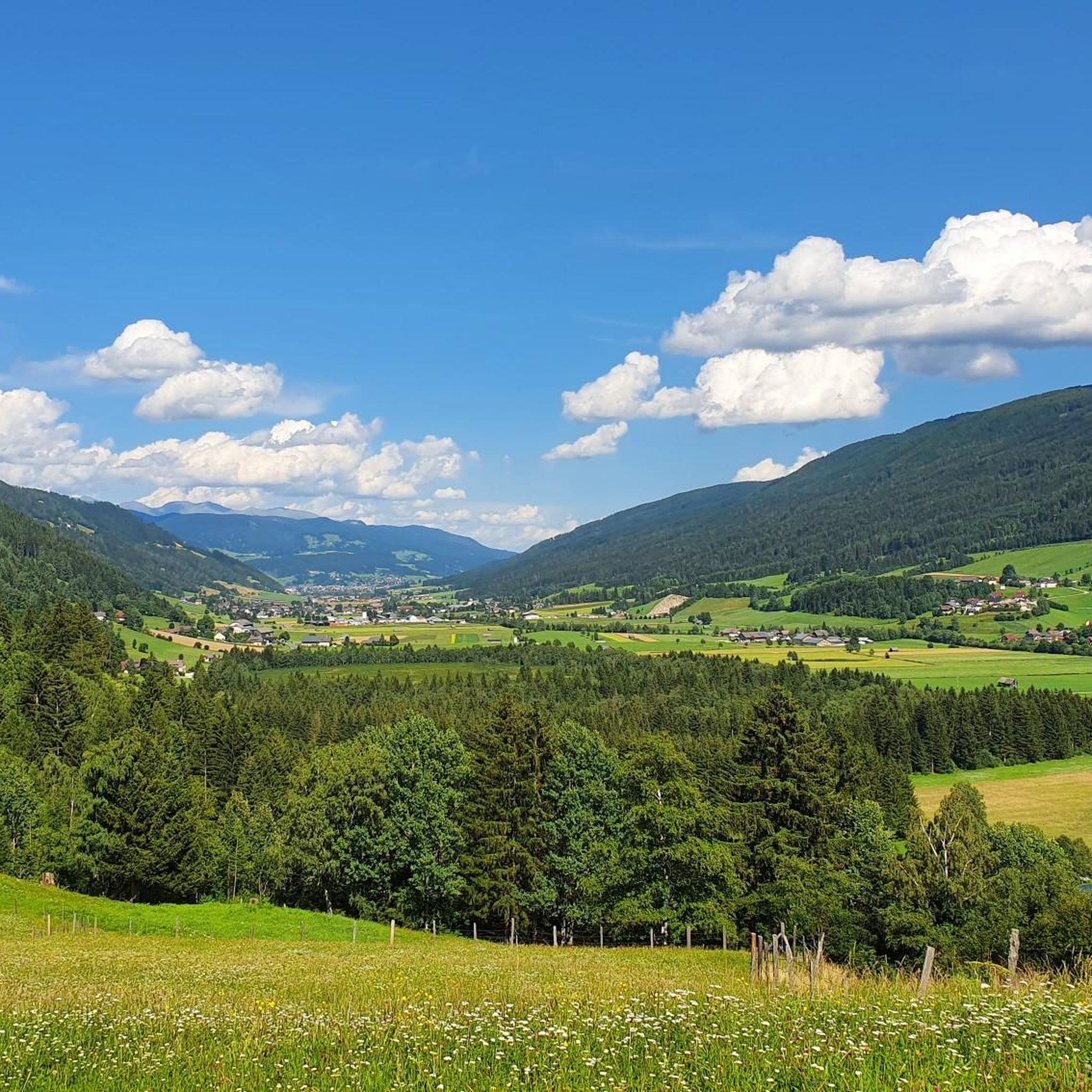
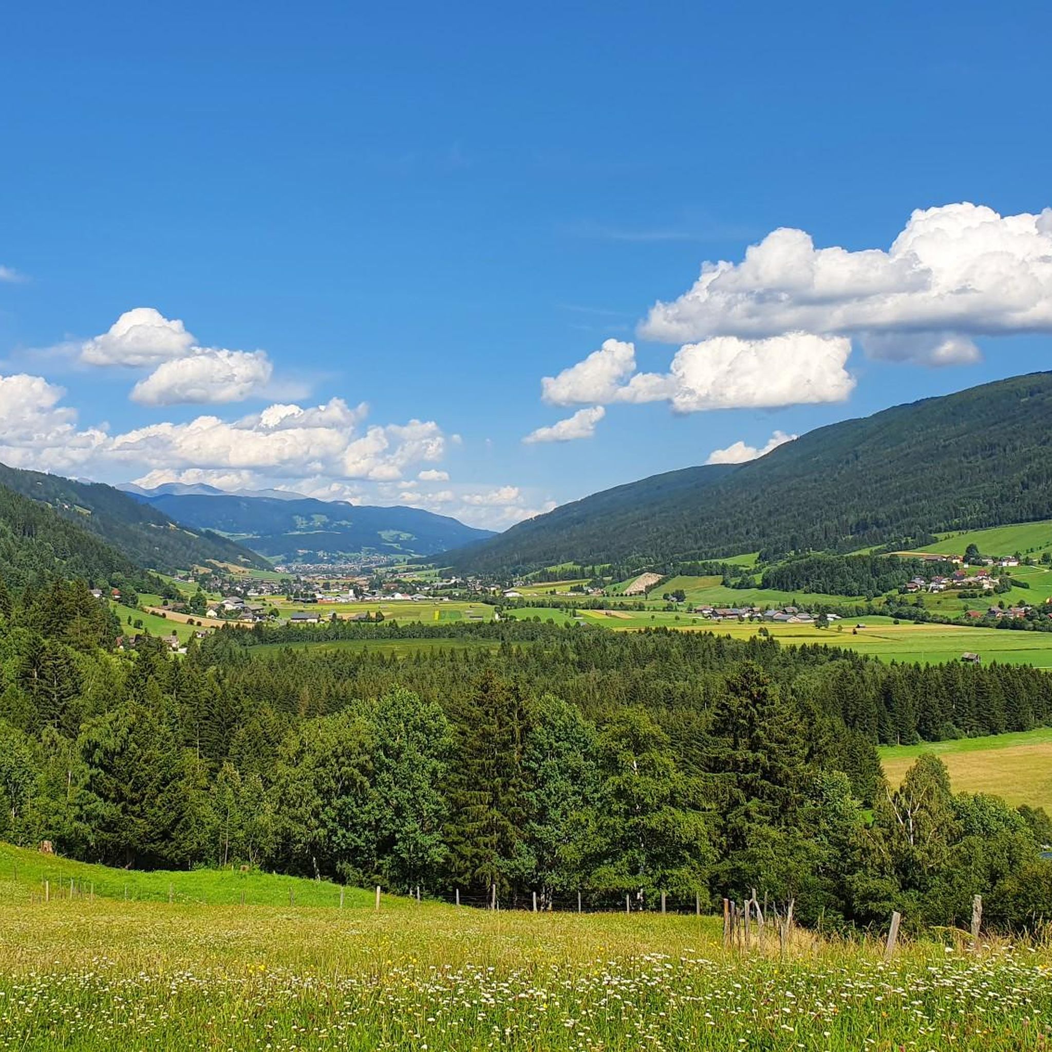
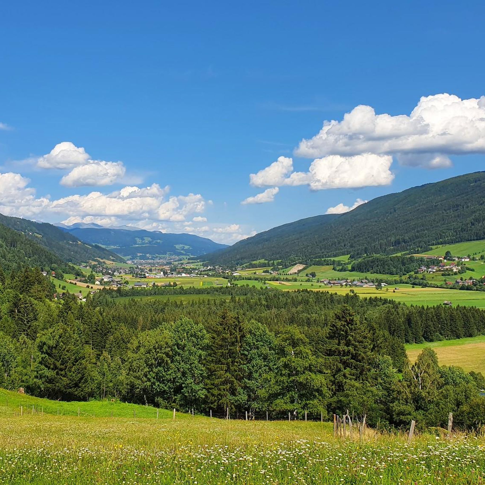
The Katschberg Pass lies at 1,641 meters and connects Salzburg with Carinthia. It rewards a challenging climb with double-digit gradients on both sides. However, the only truly beautiful aspect is the view. The town itself is primarily a sprawling resort town optimized for ski tourism.
1
0
Tough climb from both Rennweg and St. Michael. From Rennweg, Komoot navigates you along forest paths next to the asphalt road. However, the forest paths are closed to bicycles, so the only road left for cars is the road.
0
0

With a 500 battery on an e-bike, you have to expect to have to push for about 1 hour uphill (14%!) from Spittal 🤪🤣😅
0
0

With this entry you can't miss where you arrive.
0
0

The first view when you turn downhill on the slopes of Fanning
0
0

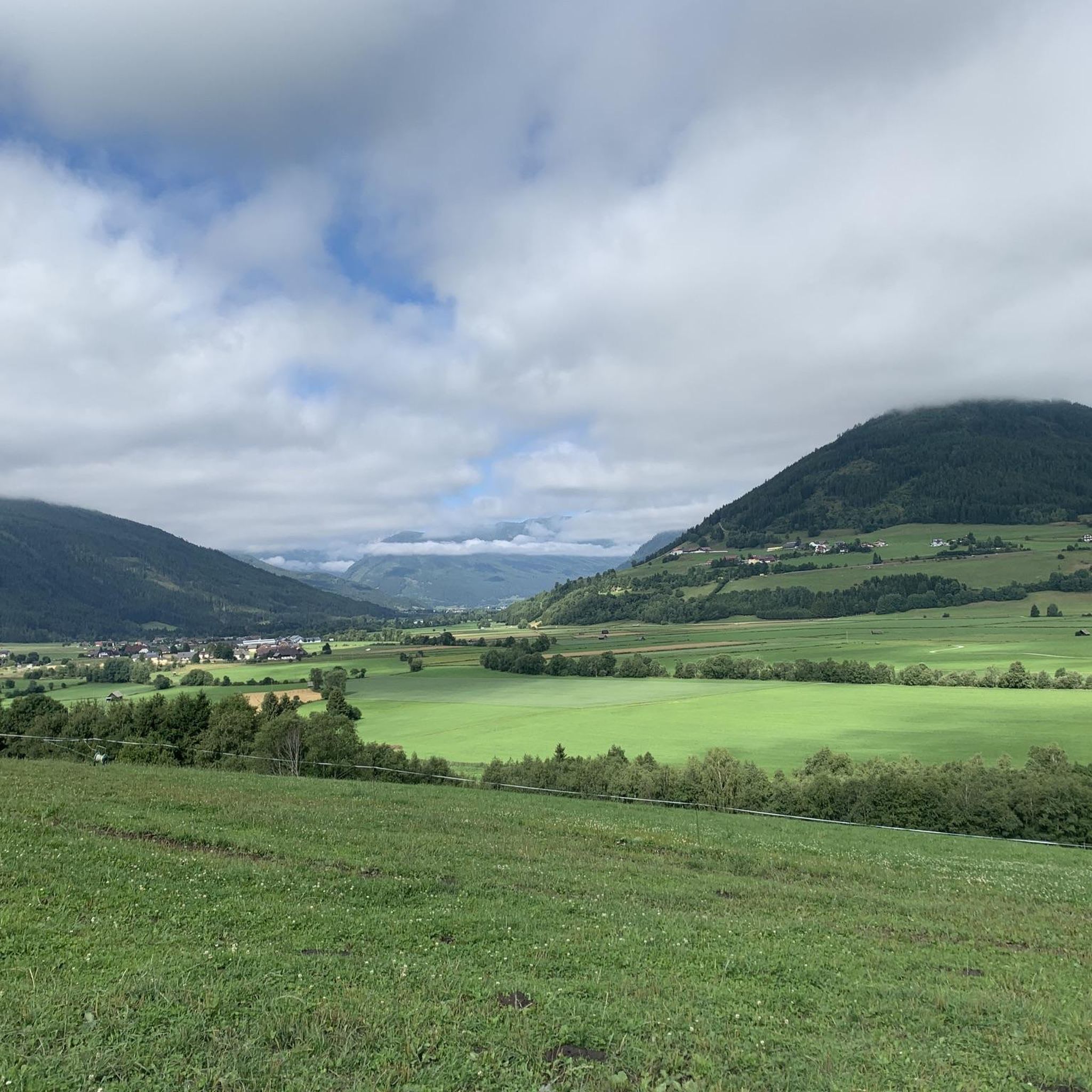
View of the Schareck opposite. Because of its striking shape, the "Lungauer Matterhorn" is also named, even if it does not quite reach it at 2,485m. A demanding climb from the direction of Speiereck. If you look closely - the knee of the sleeping giant :-)
0
0

The Gontalscharte is a short mountain saddle and connection between the 2024 m high Tschaneck and the beginning there ridge to Kareck. From here, a beautifully relaxed panoramic trail leads gently downhill to Gamskogelhütte back toward the place Katschberghöhe.
1
1
운테른베르크 주변에서 가장 인기 있는 명소


더 살펴보기
이 가이드를 통해 더 많은 장대한 산악 통과를 확인해보세요 운테른베르크 주변:
