경로플래너기능업데이트
App
로그인 또는 가입
앱 다운로드
로그인 또는 가입
경로
Places to see
Mountain passes
오스트리아
잘츠부르크
젤암제

니던실

니던실‬에서 가장 멋진 ‪14‬개의 산길

니던실에서 가장 멋진 산길을 아래에서 살펴보세요. 풍경을 감상하기에도 좋고, 오르막길/내리막길을 따라 걷기에도 좋은 곳이랍니다. 커뮤니티가 특별 도움을 통해 공유한 콘텐츠인 만큼 믿을 수 있는 정보이니 마음에 드는 산길이 있다면 바로 다음 모험 계획에 추가해서 바로 방문해보세요.

마지막 업데이트: 9월 13, 2026

제퇴를 호수와 산길

하이라이트 • 산악 고개

Seetörlsee is picturesquely nestled below a small mountain pass on the route between Saalbachkogel and Hochkogel. This small mountain lake lends a special atmosphere to the high alpine landscape and, …

번역자 Google •

에 의해

하이킹 보기휴대폰으로 전송
저장

로러 โทร์ล

하이라이트 • 산악 고개

Part of the Pinzgau Walk. Magnificent views of the surrounding mountains, including the Großglockner, are everywhere.

번역자 Google •

에 의해

저장

이런 장소를 발견하려면 지금 가입하세요

최고의 싱글 트랙, 봉우리 및 다양한 흥미로운 야외 장소에 대한 추천을 받아보세요.

무료 회원 가입

Kesselscharte (1,844미터)

하이라이트 • 산악 고개

The Kesselscharte lets you enjoy the view at 1,844 meters above sea level and walk through the beautiful Pinzgau landscape between alpine roses and small ponds. You can also decide …

번역자 Google •

에 의해

저장

칼서 타우에른 고개와 십자가

하이라이트 • 산악 고개

The Kalser Tauern, also called the Kalser Törl, is a mountain pass on which the border between East Tyrol and Salzburg runs. At 2,515 meters you have a magnificent view …

번역자 Google •

에 의해

저장

슈바흐탈 파노라마 도로

하이라이트 • 트레일

Always a pleasure in autumn. hardly any traffic

번역자 Google •

에 의해

저장

무료로 가입하여 니던실 주변의 더 많은 산악 고개를 발견하세요.

무료 회원 가입

이미 komoot 계정이 있나요?

오늘 무료 계정으로 시작하세요

다음 모험이 기다리고 있어요.
로그인 또는 가입하기

니던실 주변 인기 장소

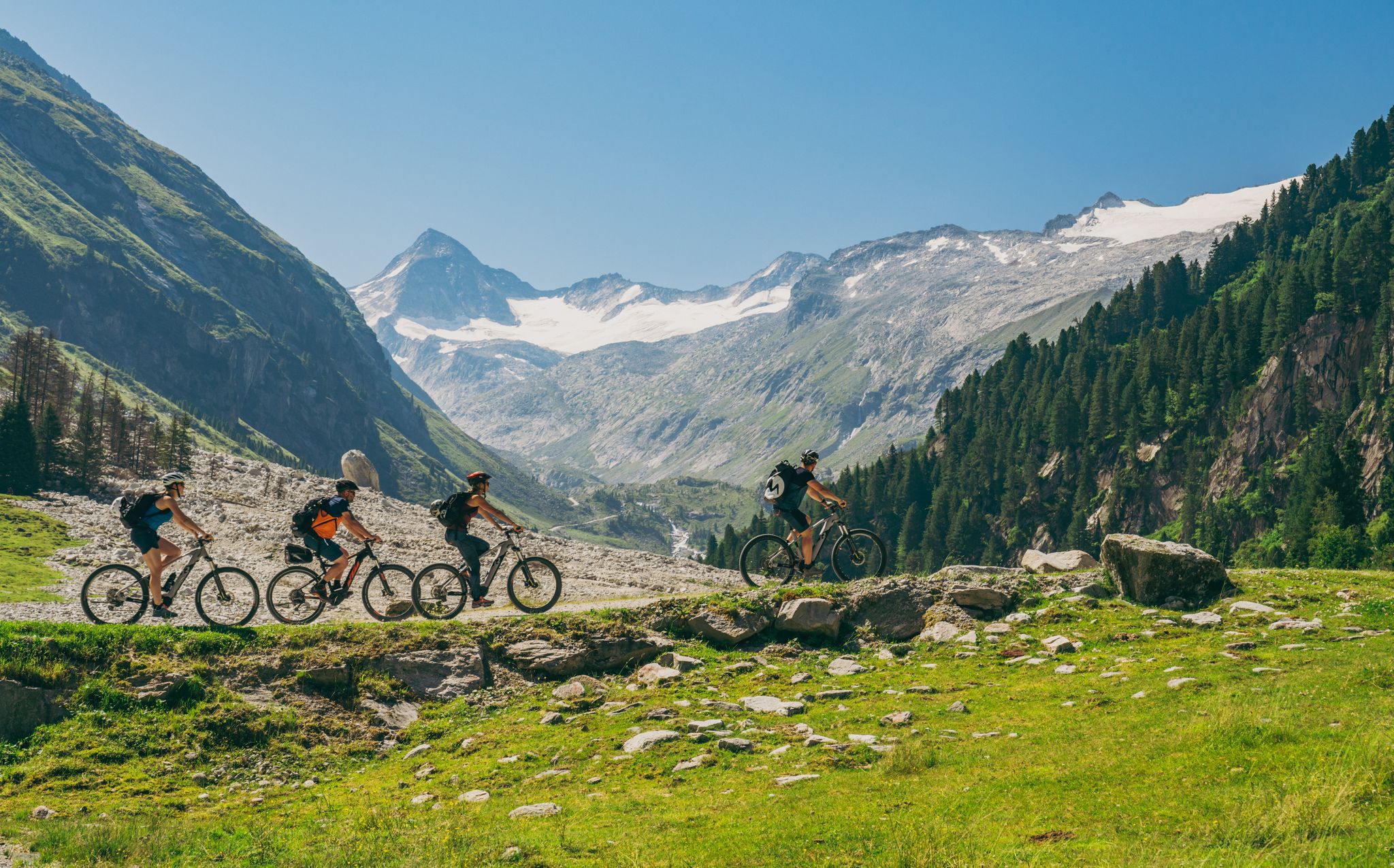
Ride to the alpine pastures in Austria's Hohe Tauern National Park Region

Magnificent hiking trails in Piesendorf & Niedernsill

On a voyage of discovery in Austria’s High Tauern National Park

니던실 하이킹

니던실 사이클링

니던실 로드 사이클링 경로

니던실 MTB 트레일

니던실 주변 그래블 라이딩

니던실 러닝 트레일

니던실 등산

니던실 주변의 다른 모험

Ride to the alpine pastures in Austria's Hohe Tauern National Park Region

산악자전거 라이딩 컬렉션 에 의해

Ferienregion Nationalpark Hohe Tauern

커뮤니티 팁

felice
8월 13, 2026, Rohrer Törl

MTB 로흐러 퇴를 통과 – 최신 경험 보고서 호흐존베르그알름에서 로흐러 퇴를를 거쳐 엑센바허 그라벤/비호펜 방향으로 가는 코스는 MTB로 충분히 가능합니다. Komoot에 표시된 자전거 통행 금지는 실제로 존재하며 – 이곳에서는 밀고 가야 합니다. 하지만 전혀 문제없습니다: 짐을 메고 가는 구간도 없고 특별한 장애물도 없습니다. 하지만 비호펜 방향의 이어지는 내리막길은 매우 가파릅니다. 따라서 이 방향으로만 투어를 추천합니다. 반대 방향이라면 엑센바허 그라벤에서 올라오는 것이 상당히 힘들 것입니다. 풍경적으로 매우 아름다운 코스입니다!

번역: Google

0

0

Seetörlsee is picturesquely nestled below a small mountain pass on the route between Saalbachkogel and Hochkogel. This small mountain lake lends a special atmosphere to the high alpine landscape and, when the wind is calm, reflects the surrounding peaks. The nearby Seetörl Pass marks a transition between the mountain ranges and offers magnificent views of both sides of the valley—an ideal spot for a short rest amidst impressive natural scenery.

번역: Google

4

0

Here you can simply sit and enjoy the mountain panorama.

번역: Google

1

0

Make sure you don't miss the turnoff to Maurerkogel. Follow the well-marked hiking trail.

번역: Google

0

1

Beautiful z three lakes in a picturesque landscape

번역: Google

1

0

nice, quiet place between the peaks. Invites people and animals to rest. In summer you can even take a bath.

번역: Google

1

0

On the way to the Maurerkogel

번역: Google

0

1

Always a pleasure in autumn. hardly any traffic

번역: Google

0

0

니던실 주변에서 가장 인기 있는 경로

니던실 하이킹

니던실 주변에서 가장 인기 있는 명소

Places to see

Store rating

komoot 모바일 앱으로 영감을 받아보세요

무료 komoot 계정로 끝없는 야외 모험을 손쉽게 찾고, 맞춤 설정하며 길안내할 수 있어요.

또는

지금 komoot에 가입하세요
Store rating

더 살펴보기

이 가이드를 통해 더 많은 장대한 산악 통과를 확인해보세요 니던실 주변:

바이스바흐 바이 로퍼잘펠덴 암 슈타이너넨 미어장크트 마틴 베이 로퍼로퍼레오강언켄라우리스잘바흐-힌터글렘마이쇼펜비에호펜Fusch an der Großglocknerstraße브람베르크 암 빌트코겔카프룬마리아 알름 암 슈타이너넨 미어노이키르헨 암 그로스베네디거홀러스바흐 임 핀츠가우크림미터실우텐도르프디엔텐 암 호츠쾨니히발트 임 핀츠가우탁센바흐브룩 안 데어 그로스글로크너슈트라세스털펠덴피젠도르프빌려주 다바이스바흐 자연 공원

근처 어드벤처 가이드

젤암제 즐길거리

background

새로운 정복을 위한 준비를 하세요

무료로 가입하기
탐험하기
경로경로 플래너기능바우처 사용하이킹MTB 트레일로드 사이클링 경로바이크패킹사이트맵
앱 다운로드
소셜 미디어에서 팔로우하기

© komoot GmbH

개인 정보 보호 정책