니데른하우젠에서 가장 멋진 11개의 산길
니데른하우젠에서 가장 멋진 산길을 아래에서 살펴보세요. 풍경을 감상하기에도 좋고, 오르막길/내리막길을 따라 걷기에도 좋은 곳이랍니다. 커뮤니티가 특별 도움을 통해 공유한 콘텐츠인 만큼 믿을 수 있는 정보이니 마음에 드는 산길이 있다면 바로 다음 모험 계획에 추가해서 바로 방문해보세요.
마지막 업데이트: 8월 30, 2026
그로서어 펠트베르크 정상
하이라이트 • 정상
번역자 Google •
팁에 의해

Waldgasthaus Fuchstanz
하이라이트 • 레스토랑
번역자 Google •
팁에 의해

이런 장소를 발견하려면 지금 가입하세요
최고의 싱글 트랙, 봉우리 및 다양한 흥미로운 야외 장소에 대한 추천을 받아보세요.
무료 회원 가입
로테스 크로이츠 (타우누스)
하이라이트 • 자연 기념물
Weiltal과 Vordertaunus를 연결하며 아주 오래전부터(로마인들보다 훨씬 이전) 사용되었습니다.
고개의 정상은 (이름을 부여한) 붉은 사암 십자가로 표시되어 있습니다!
추가 정보: de.wikipedia.org/wiki/Rotes_Kreuz_(Taunus)?oldformat=true
번역문 보기
팁에 의해

파소 델라 크로체 비안카(루퍼트샤인 오르막)
하이라이트 (구간) • 등반
번역자 Google •
팁에 의해


오늘 무료 계정으로 시작하세요
다음 모험이 기다리고 있어요.
로그인 또는 가입하기
니데른하우젠 주변 인기 장소
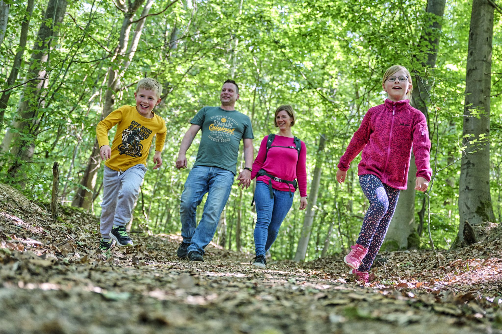
The journey is the adventure – hikes in Germany’s Taunus Mountains

Varied winter hikes in Germany’s Rhine-Main region
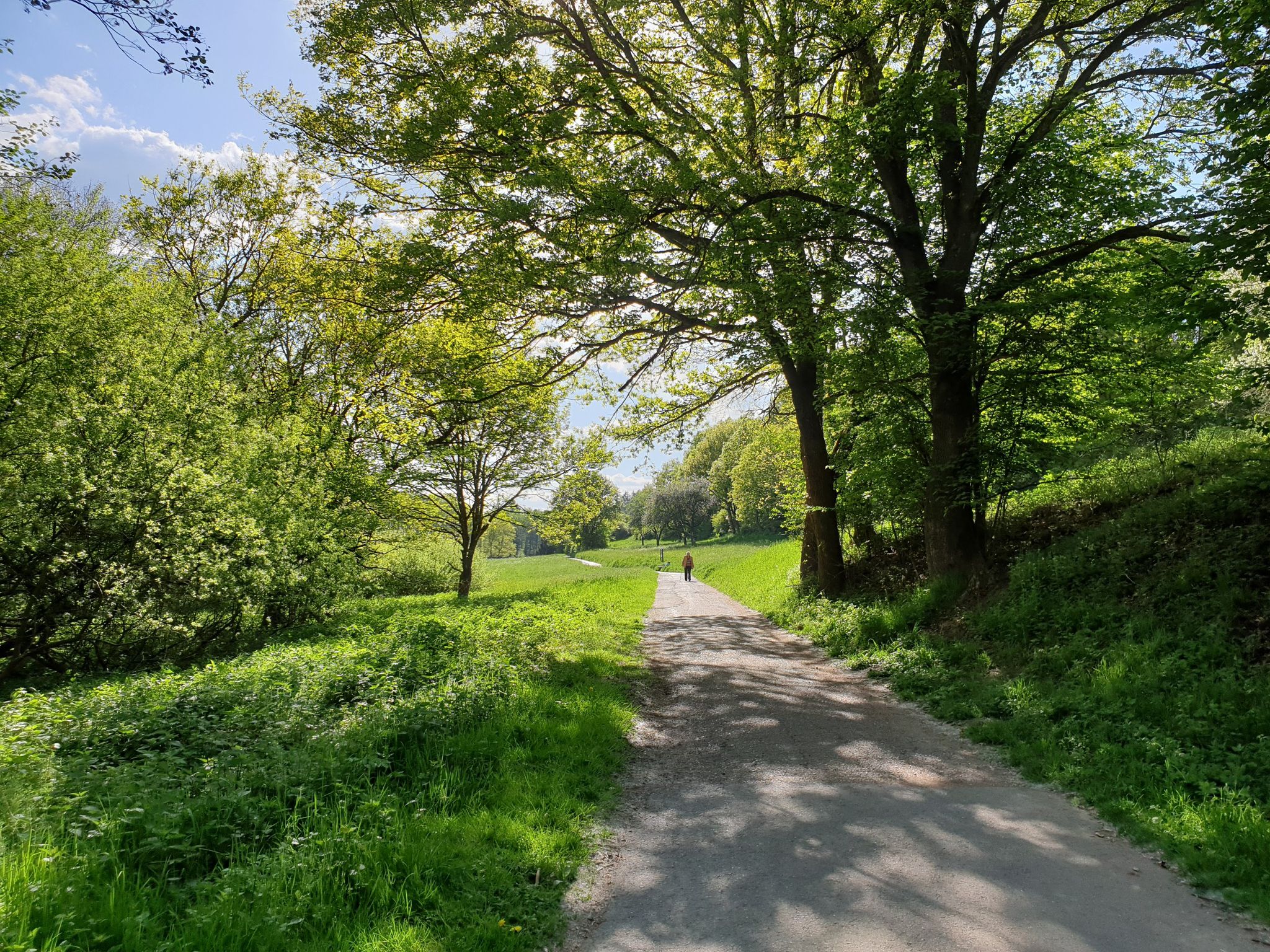
Culture, nature and good food in Hessen – gourmet Tours in the RMV region
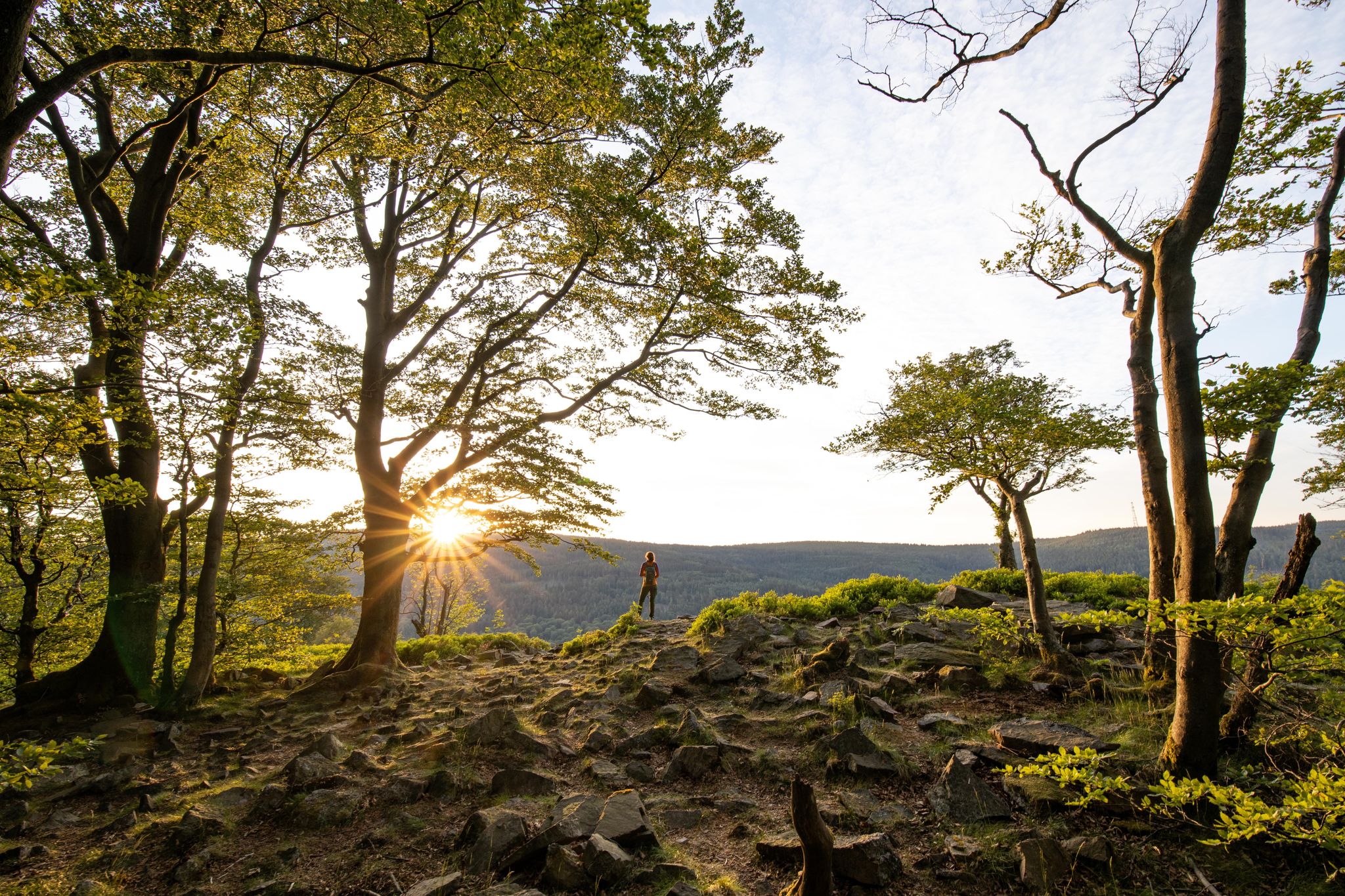
Deep valleys and airy heights – the most beautiful hikes in the Taunus in Germany
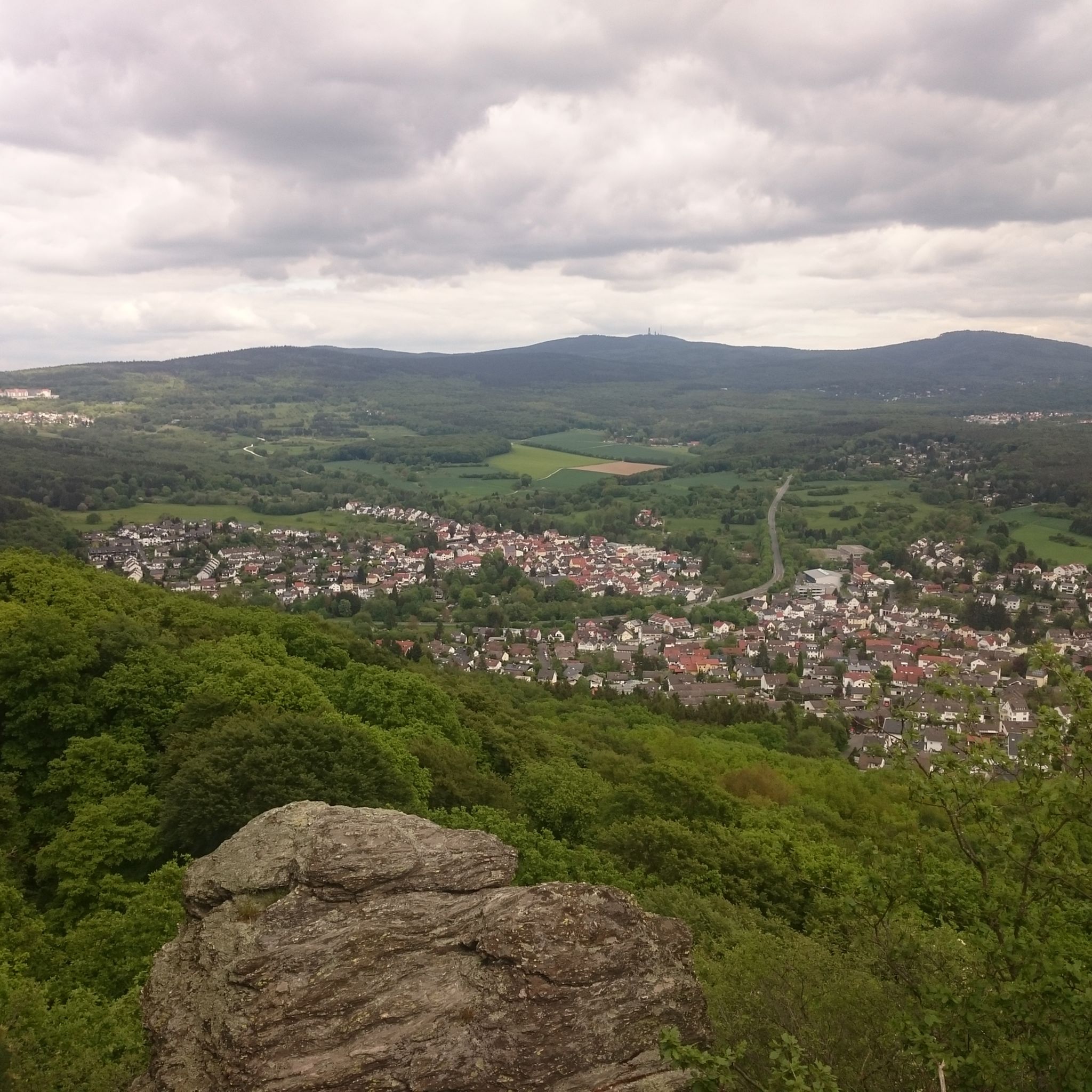
니데른하우젠 하이킹
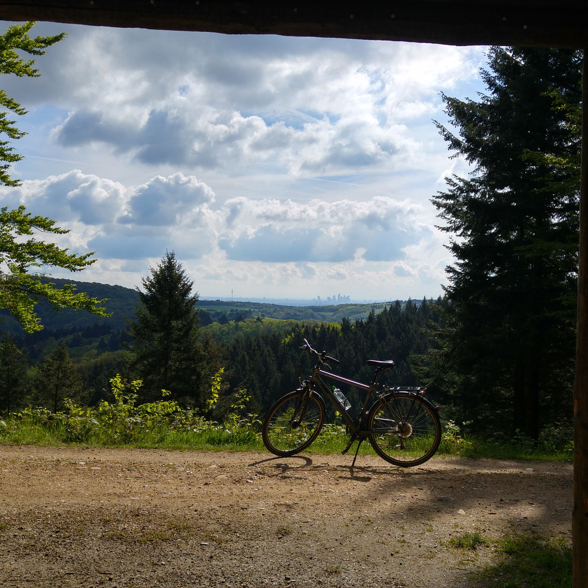
니데른하우젠 사이클링
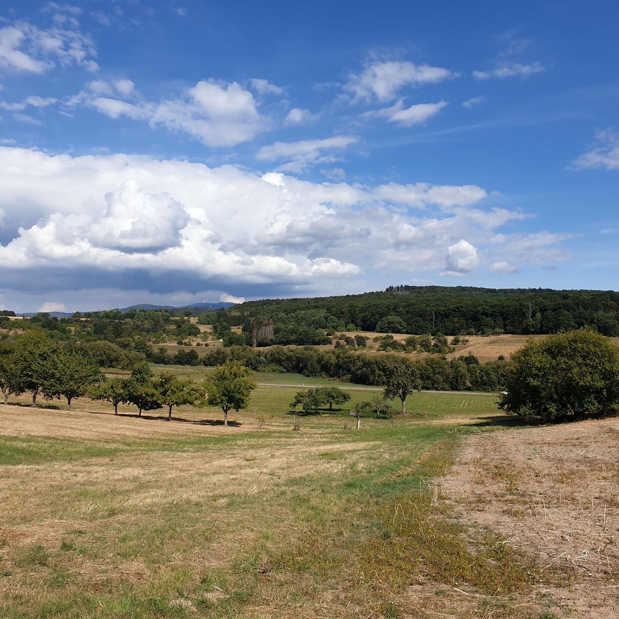
니데른하우젠 러닝 트레일
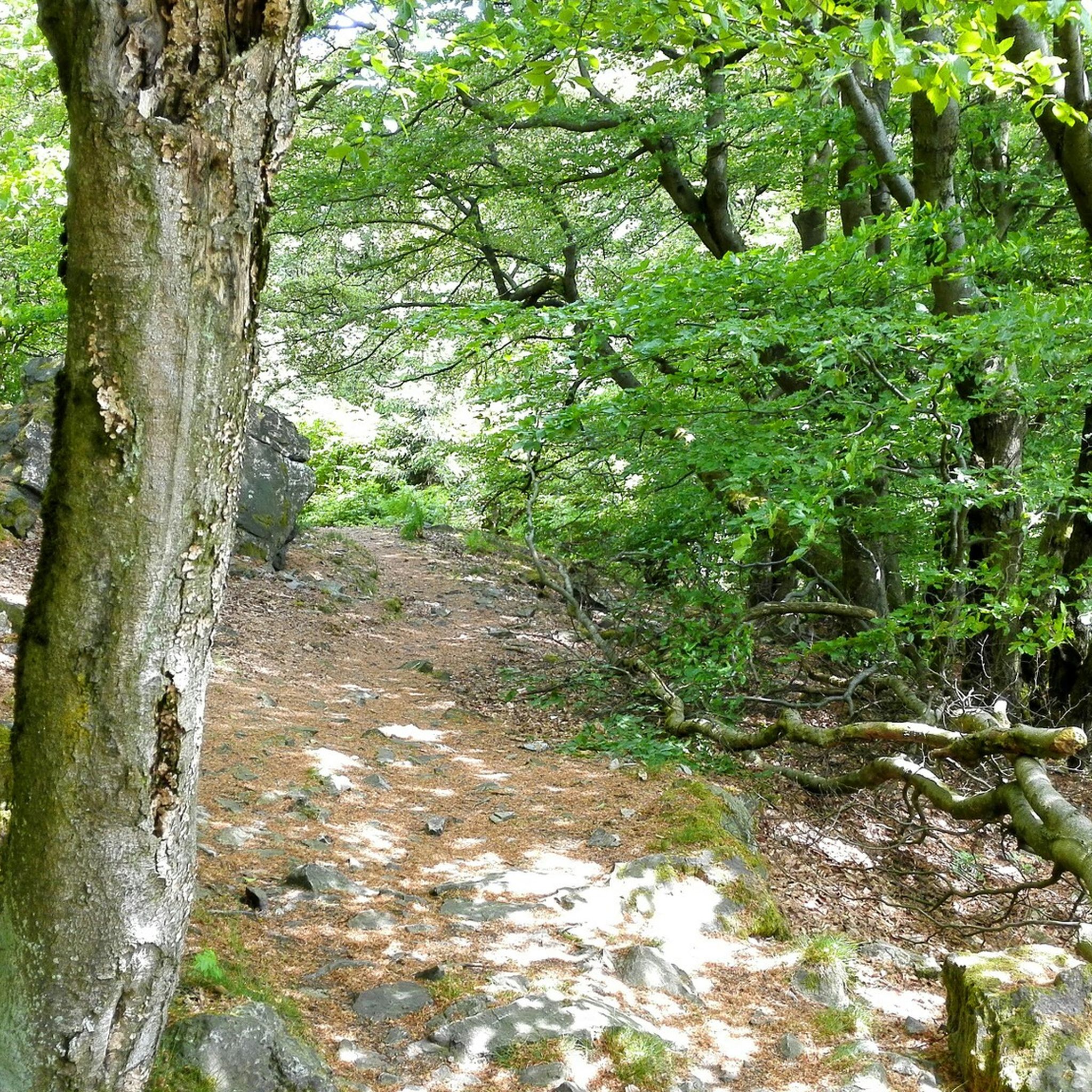
니데른하우젠 MTB 트레일
니데른하우젠 로드 사이클링 경로
니데른하우젠 주변 그래블 라이딩
니데른하우젠 주변의 다른 모험


커뮤니티 팁

The station houses a forest restaurant called "Waldgeist". Nice ambience, but I didn't go in and can't say anything about the food.
2
0

There is a nice beer garden here. If you want to eat well, there is enough space inside too
1
0

At the moment, the road through Ruppertshain is still partially closed. If you want to continue towards Schloßborn and Feldberg, you have to drive around the construction site on the main road. This means that two more short but steep ramps are in your way. Both ramps are quite challenging with double-digit gradients. The construction site in Ruppertshain will probably last until August 2024.!
0
0

A very nice little restaurant. Worthwhile
12
0

The red cross marks a pass that was used by historic trade routes and was so important that the Romans built a fort to control it. The castle in Oberreifenberg later served the same function in the Middle Ages.
1
0

There is now a restaurant in the station building that is worth visiting. The prices are still quite good and the dishes are very large.
3
0

2023년 5월 업데이트: 식당 운영은 HessenForst와의 불화로 인해 임차인들이 반년 이상 전에 이미 중단했습니다. 현재 건물은 점점 더 황폐해지고 있습니다. 곧 Taunus의 또 다른 폐허가 될 것입니다 🥴
16
0

I recommend a weekday visit beyond holiday periods.
14
1
니데른하우젠 주변에서 가장 인기 있는 명소


더 살펴보기
이 가이드를 통해 더 많은 장대한 산악 통과를 확인해보세요 니데른하우젠 주변:
