바트 베를레부르크에서 가장 멋진 20개의 천연기념물
천연기념물을 방문하여 바트 베를레부르크의 아름다운 풍경을 만나보세요. 바트 베를레부르크에 있는 20
개의 천연기념물과 상세 정보를 살펴본 후에 방문하고 싶은 천연기념물을 다음 모험 계획에 추가해보세요!
마지막 업데이트: 10월 10, 2026

숲 조각 트레일의 '스톤 타임 맨' 조형물
하이라이트 • 기념물
번역자 Google •
팁에 의해

이런 장소를 발견하려면 지금 가입하세요
최고의 싱글 트랙, 봉우리 및 다양한 흥미로운 야외 장소에 대한 추천을 받아보세요.


오늘 무료 계정으로 시작하세요
다음 모험이 기다리고 있어요.
바트 베를레부르크 주변 인기 장소
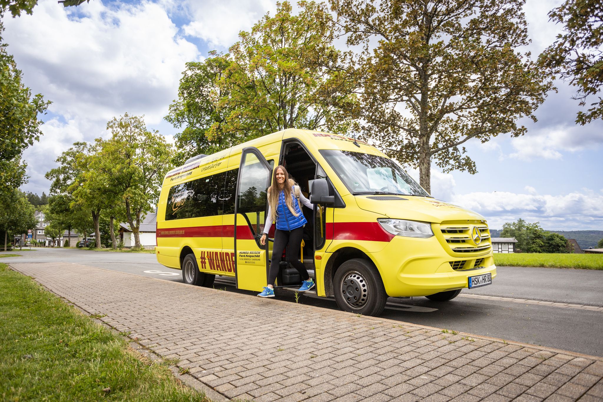
Car-free hikes – the Schmallenberger Sauerland by public transport
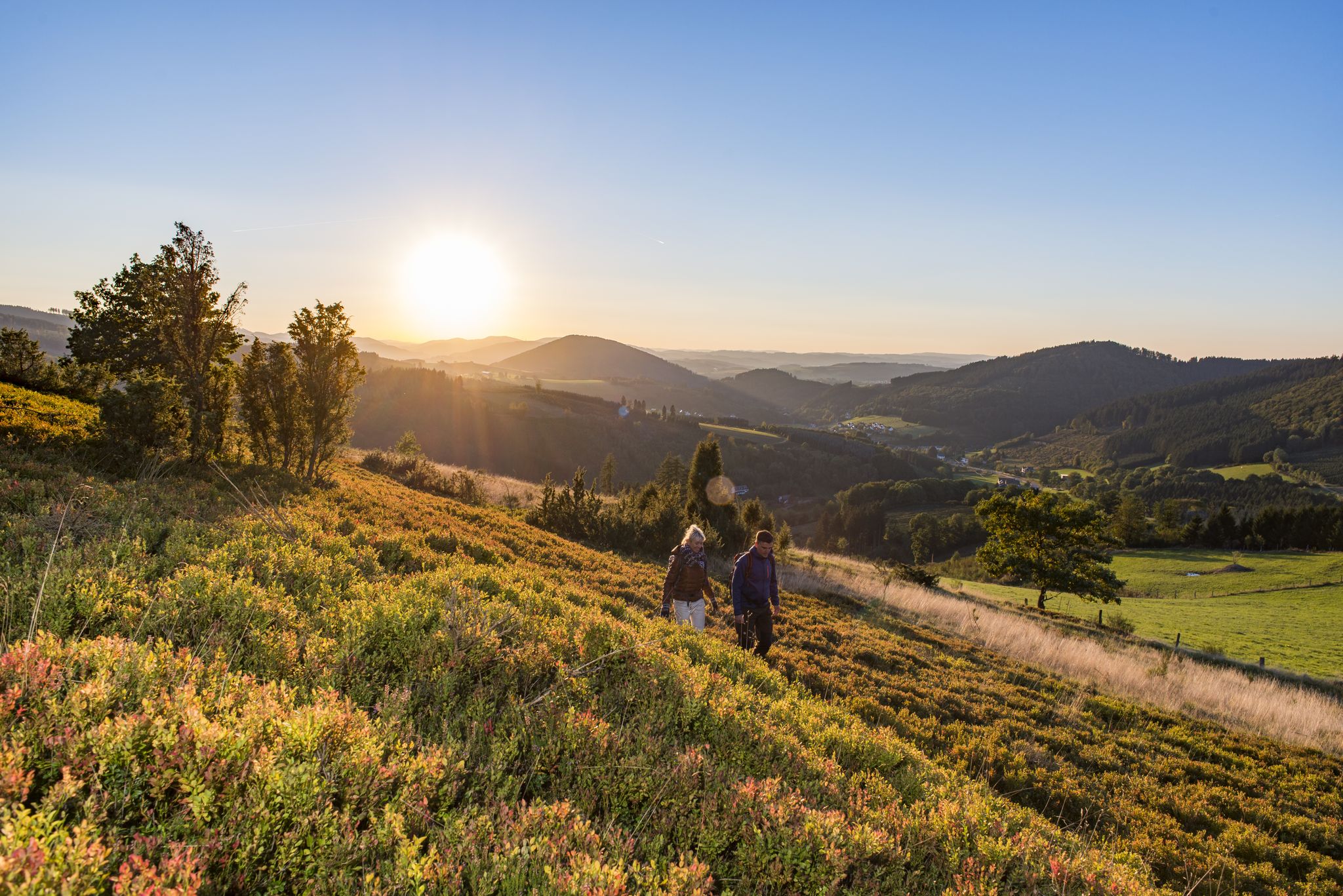
Dreamlike hiking in Germany – #EmbraceGermanNature
Exploring Schmallenberg Sauerland — stunning hikes in Germany
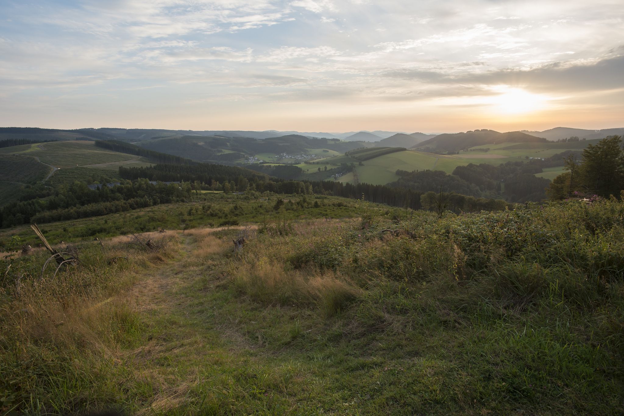
Forest, meadows, wonderland – hiking the Rothaarsteig Trails
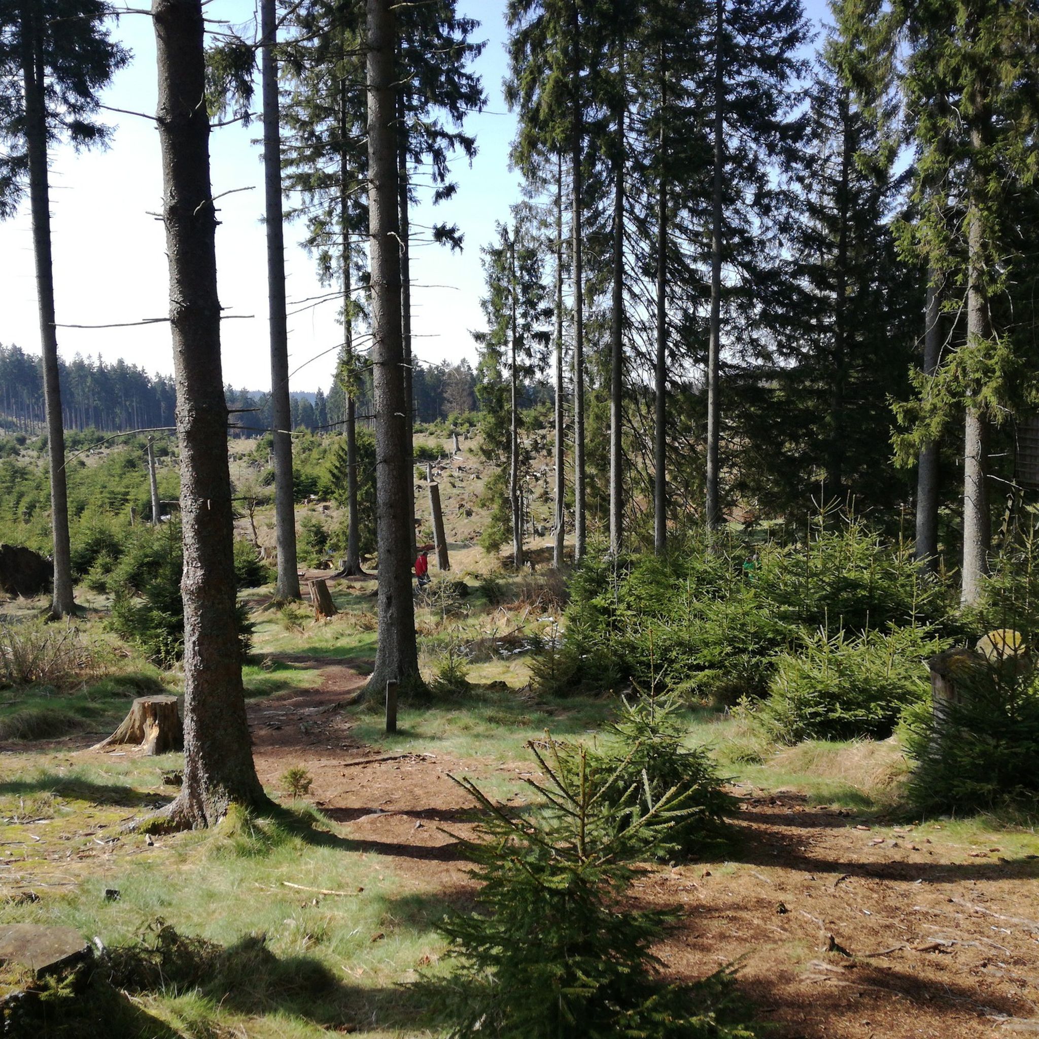
바트 베를레부르크 하이킹
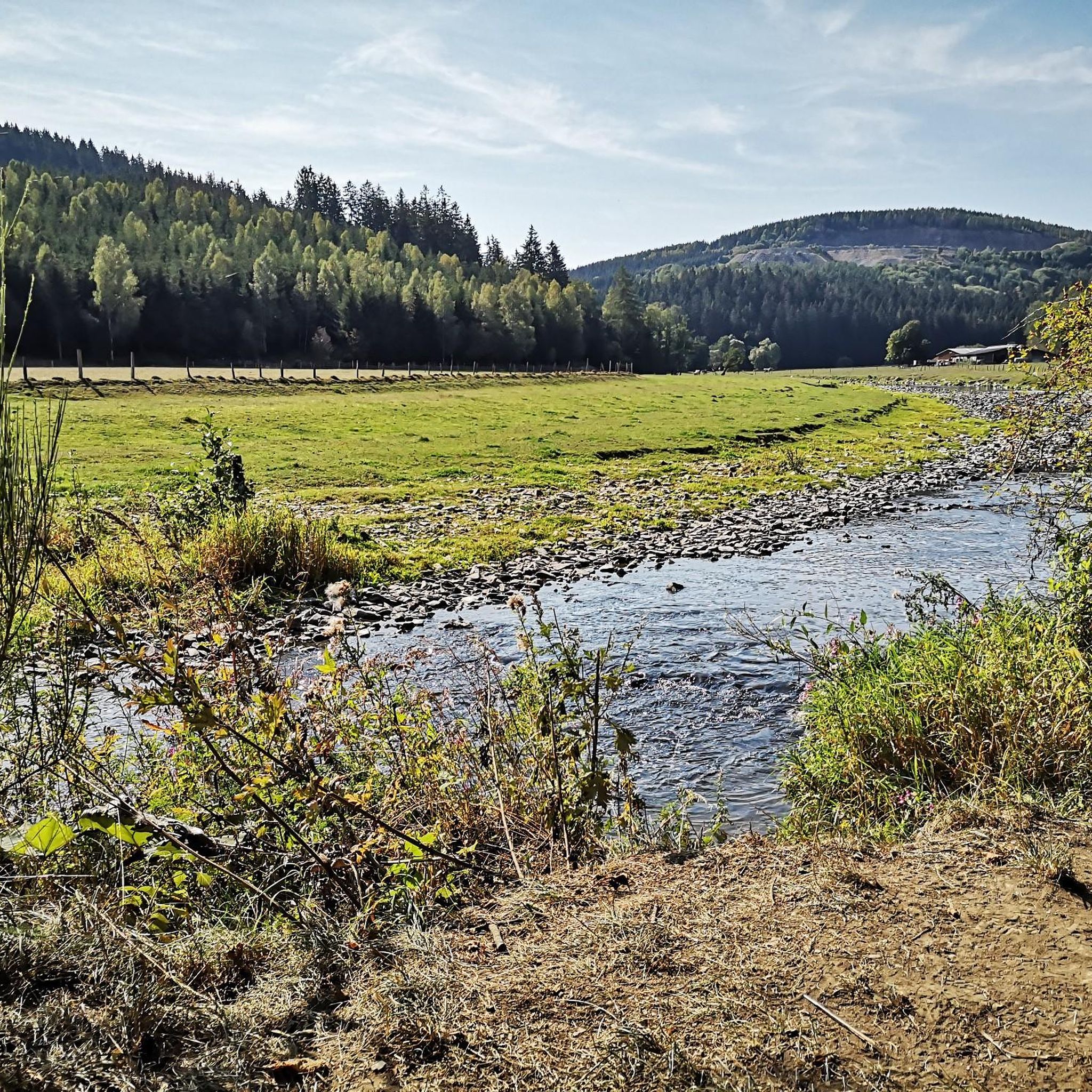
바트 베를레부르크 사이클링
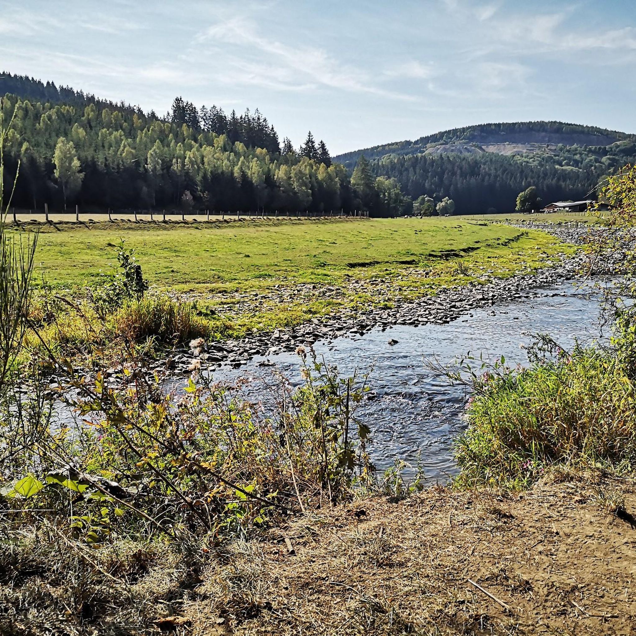
바트 베를레부르크 로드 사이클링 경로
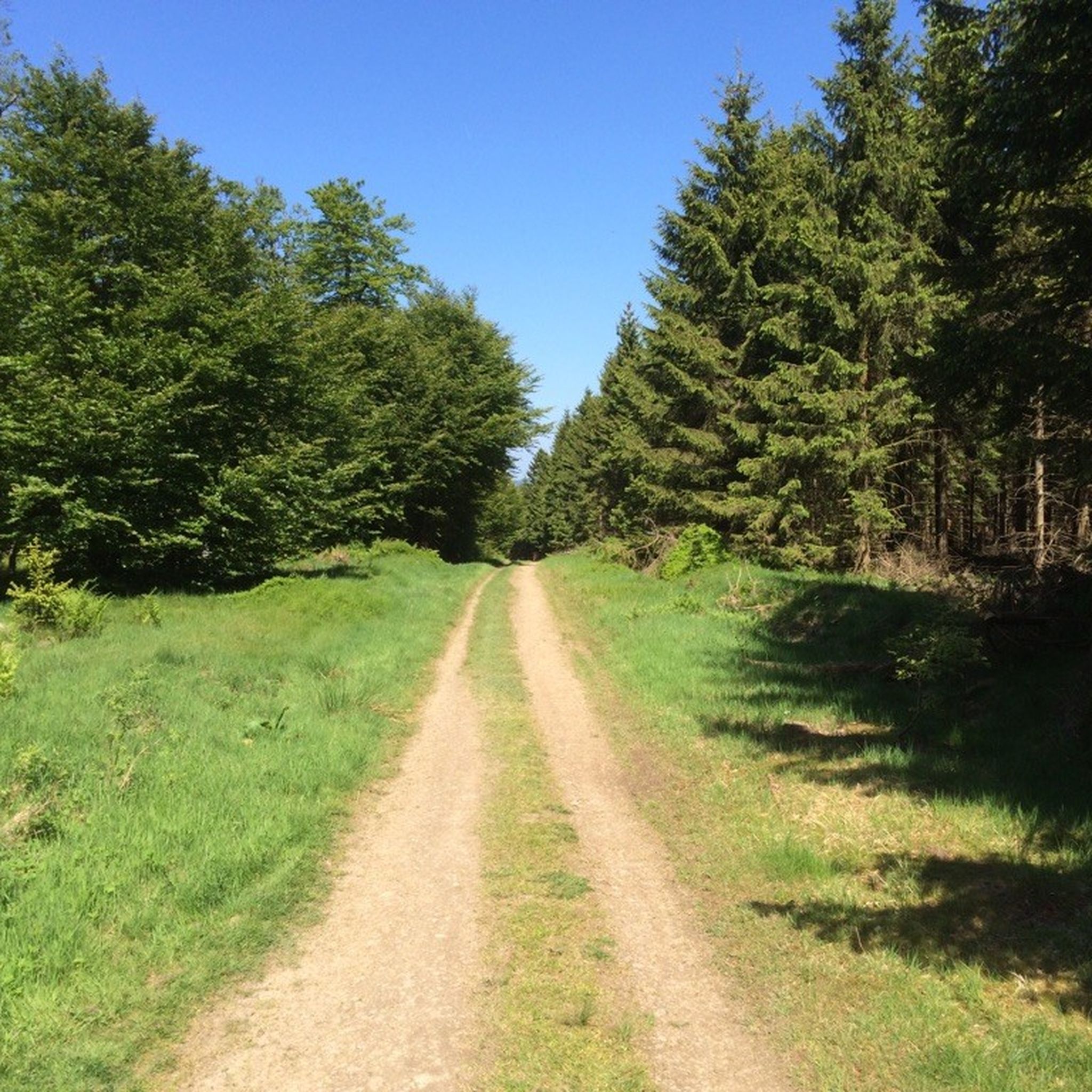
바트 베를레부르크 MTB 트레일
바트 베를레부르크 러닝 트레일
바트 베를레부르크 주변 그래블 라이딩
바트 베를레부르크 주변의 다른 모험


커뮤니티 팁

Wandering the Rothaarsteig... Day 3: We start in Schanze, and with a lot of luck, we don't get lost. Without a hiking map, we rely solely on Komoot, crossing the 'Roof of the Sauerland' and through the 'Land of a Thousand Hills and Valleys'. We explore the Schanze Forest Reserve primarily on wide forest paths and along deeply carved streams. 'Denkmal Altarstein' (Altarstone Memorial) is an idyllic spot with a stone column where you can relax in its shade. In the shade, you can 'contemplate' all sorts of things... Crazy, isn't it? We respectfully greet the old 'Fat Oak' a little further on. It's a landmark, and in our experience, it keeps us on the right path to continue our ascent of the Rothaarsteig. A charming, playful suspension bridge is a highlight in itself. Bridges connect landscapes. This 'suspension bridge' primarily connects people. It's the weekend, and the attraction is undeniable. Young and old, everyone wants to be quick. The crowd barometer goes into the red, and like a hare, we stampede along a narrow, deserted forest path to the summit of the Saukopf – 750 meters high. Once we reach the top, it looks like the finish line of some mountain stage. Cycling enthusiasts, suffering from excessive dehydration (breakouts in sweat), are nevertheless proud to have climbed the summit in record time. We let the "recreational sports heroes" of the day enjoy their slim figure and meager success. Without disturbing their success story, we leisurely stroll along the edge of the forest to the "Wittgensteiner Panoramaweg." There, we hoped to catch a glimpse of the bison that make their habitat here. Unfortunately, the passing cycling peloton has disturbed the bison's habitat, and they don't respond. Six forest sculptures provide some solace and distraction on our way back to Schanze. To conclude our hike, we meander along the Kyrill Trail. A battlefield of trees felled by the force of Hurricane Kyrill (January 18, 2007) gives us pause for thought. We were lucky in Schanze; we didn't get lost or blown over. And the setting sun on the Rothaar makes our hair turn a little red. You can read about our other experiences in the collection https://www.komoot.com/nl-nl/collection/1321198/-hochsauerland-vakantieweek
13
1

Especially when the heather is in bloom, the Bald Asten is a sea of flowers. There is also a hotel up here. At 841.9 meters, it is the third highest mountain in the Rothaargebirge after the Langenberg and Hegekopf and the second highest mountain in North Rhine-Westphalia after the Langenberg. The Lenne and Odeborn springs and a high heath are located on the mountain.
22
1
The Wnaderer will find quite imposing sculptures on the forest sculpture trail. The path leads hikers between Bad Berleburg and Schmallenberg for almost 25 km through the beautiful Sauerland.
13
0

Many works of art can be found on the forest sculpture trail from Bad Berleburg to Schmallenberg. 😀
12
0

A very interesting highlight in the hill
10
0

The path is lined with various sculptures.
11
0
Here you should take your time.
10
0

This is a nice resting place on the Kyrillpfad
10
0
바트 베를레부르크 주변에서 가장 인기 있는 명소


더 살펴보기
바트 베를레부르크 주변의 최고의 동굴을 찾기 위해 이 가이드를 확인해보세요:
