웰스에서 가장 멋진 7개의 천연기념물
천연기념물을 방문하여 웰스의 아름다운 풍경을 만나보세요. 웰스에 있는 7
개의 천연기념물과 상세 정보를 살펴본 후에 방문하고 싶은 천연기념물을 다음 모험 계획에 추가해보세요!
마지막 업데이트: 8월 30, 2026
바트 빔스바흐 근처의 알름강
하이라이트 • 강
번역자 Google •
팁에 의해

Krailberg 정상 십자가 (504m)
하이라이트 • 정상
번역자 Google •
팁에 의해
이런 장소를 발견하려면 지금 가입하세요
최고의 싱글 트랙, 봉우리 및 다양한 흥미로운 야외 장소에 대한 추천을 받아보세요.
무료 회원 가입

알름강과 트라운강의 합류점
하이라이트 • 강
번역문 보기
팁에 의해

Traunspitz
하이라이트 • 전망대
번역자 Google •
팁에 의해
피시 래더 로이하르팅
하이라이트 • 구조물
번역자 Google •
팁에 의해

슈타인파크 자틀레트
하이라이트 • 자연 기념물
번역자 Google •
팁에 의해
오늘 무료 계정으로 시작하세요
다음 모험이 기다리고 있어요.
로그인 또는 가입하기
웰스 주변 인기 장소
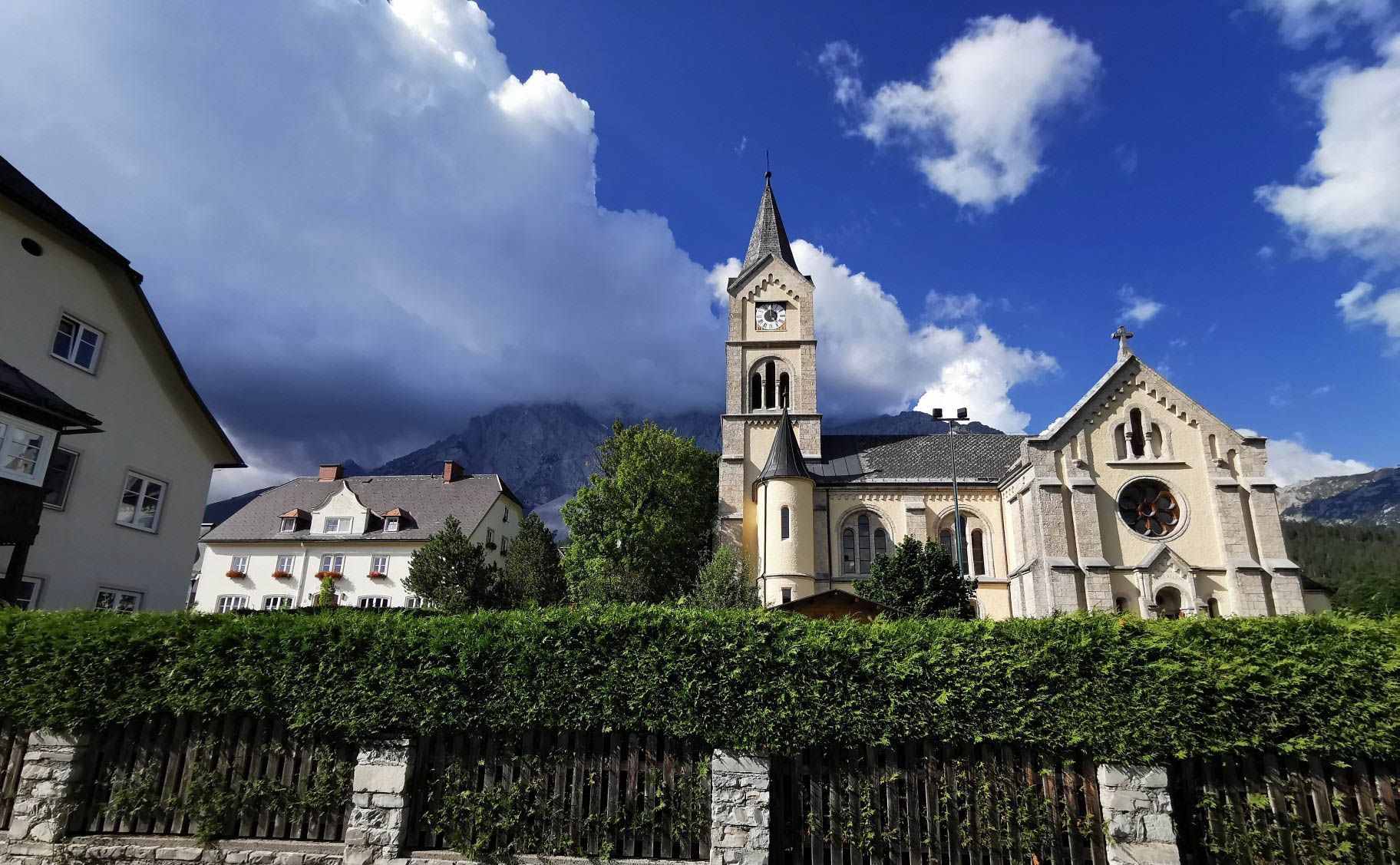
아이타일 오르 정보스타자 아습니다 - 이리이 수다
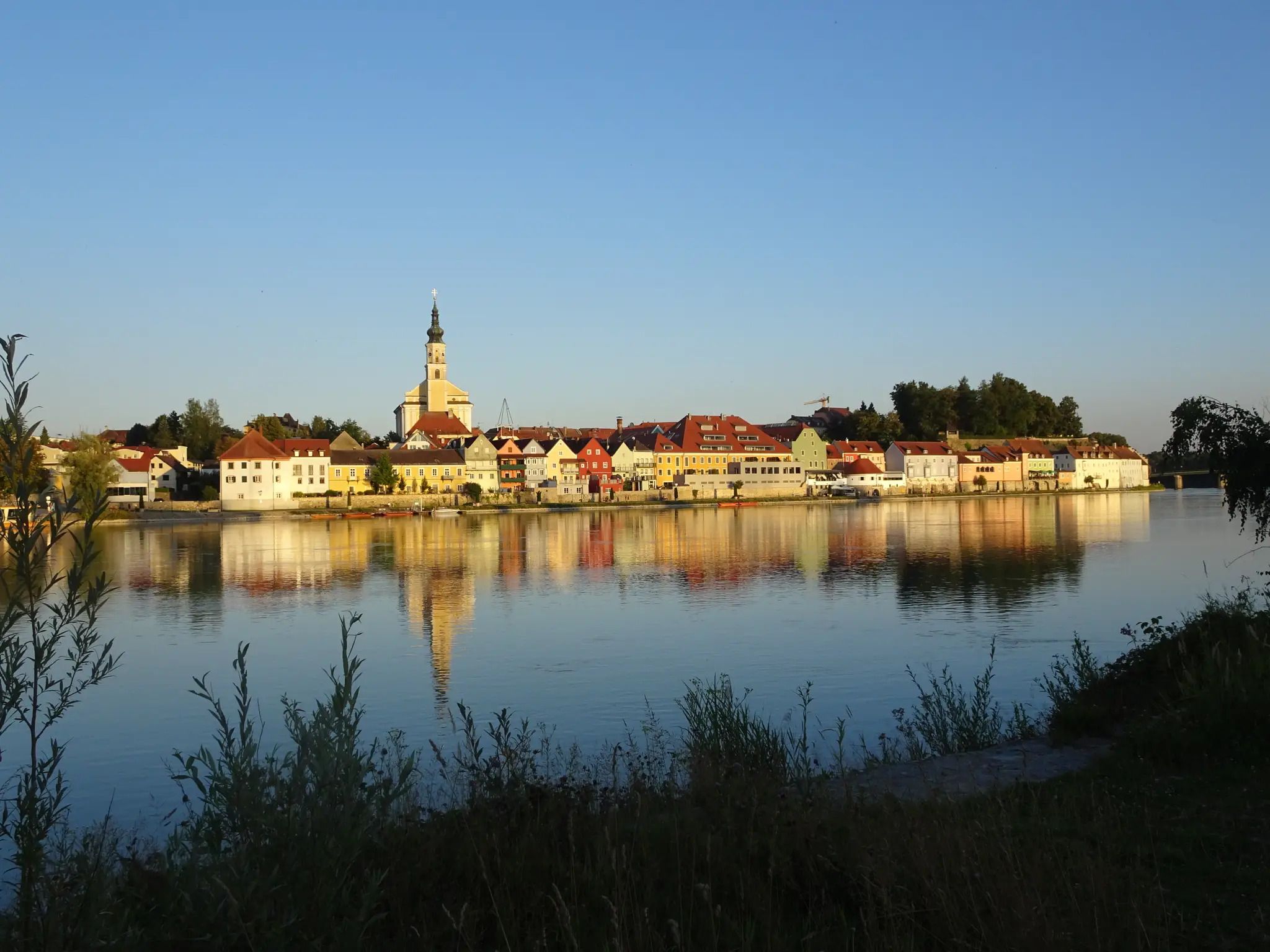
독일-오스트리아 국경을 따라 로마인의 자취를 따르세요
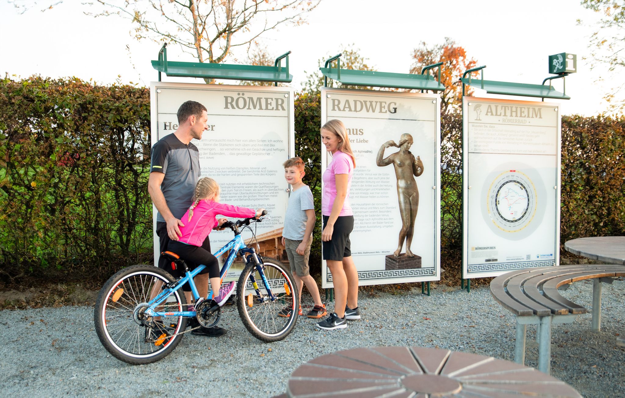
로마인의 흔적을 따라 로마자전거길
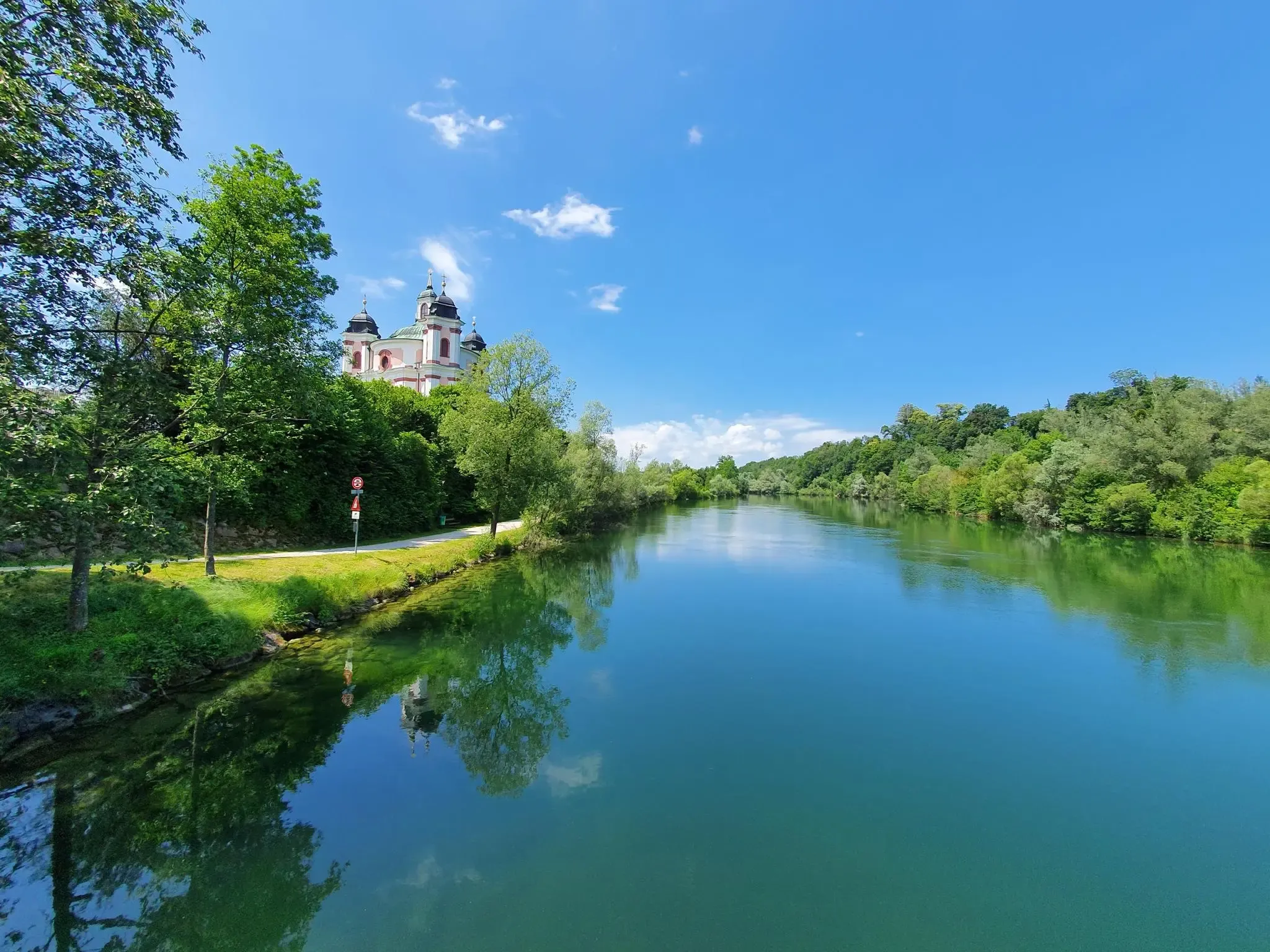
천국같은 오스트리아 하이킹 - 베네딕트 순례로 Traunviertel
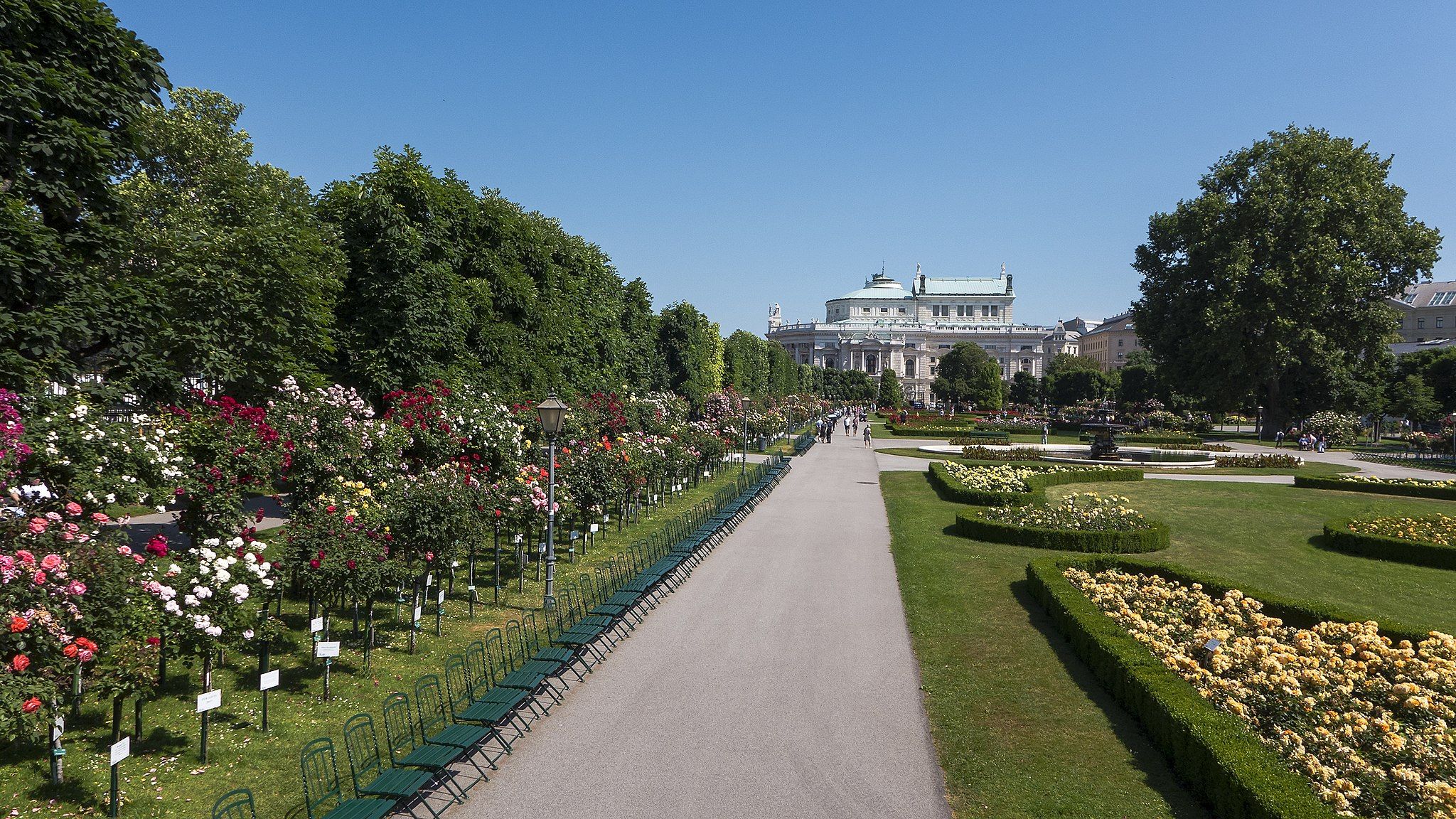
City hikes in Austria – on foot through Vienna, Wels & St. Pölten
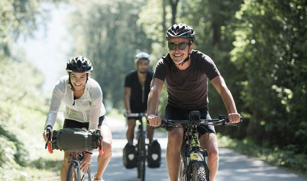
The most beautiful leisurely cycling routes in Upper Austria
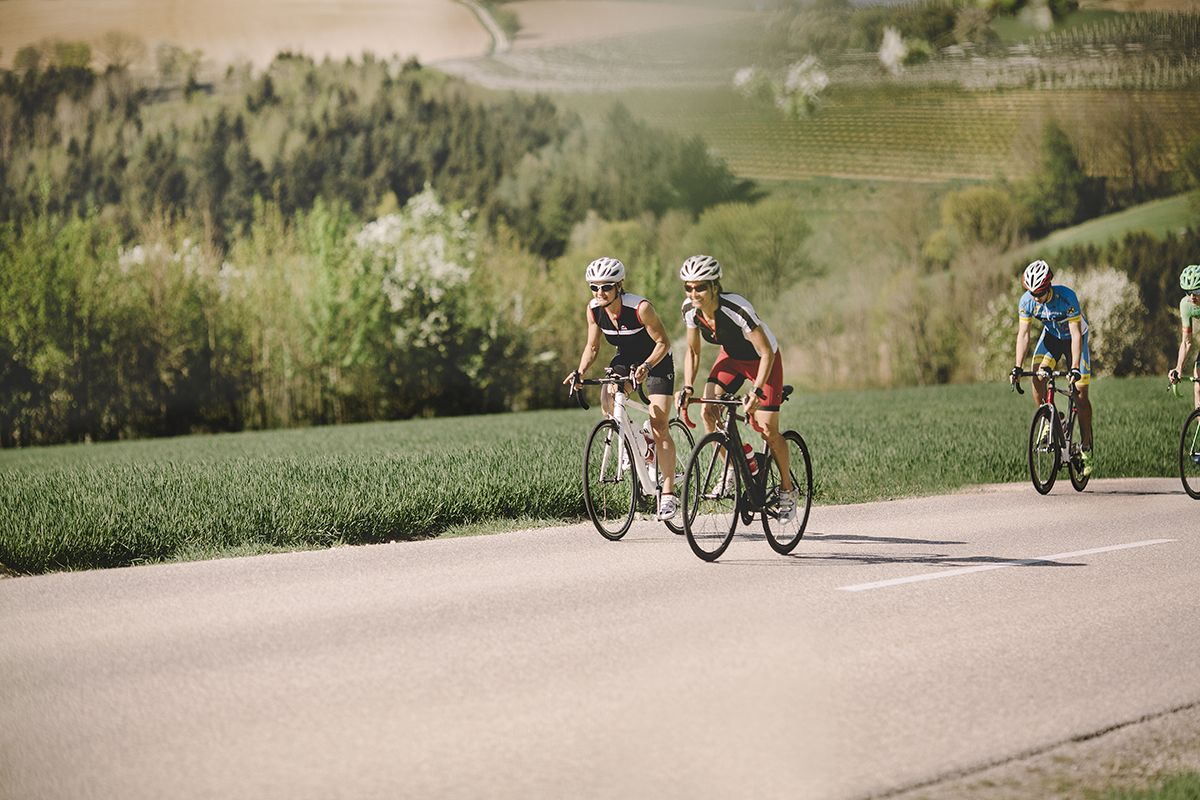
Fourteen Wadlbeißer – best road cycling routes in Upper Austria
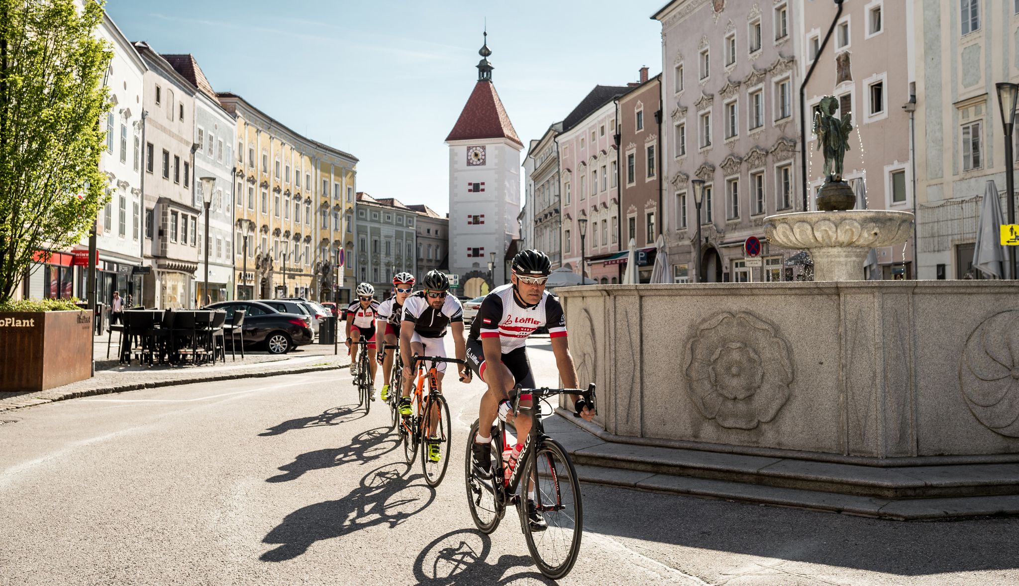
"Go where the locals go" — Road rides around Wels
웰스 로드 사이클링 경로
웰스 사이클링
웰스의 다른 모험


커뮤니티 팁

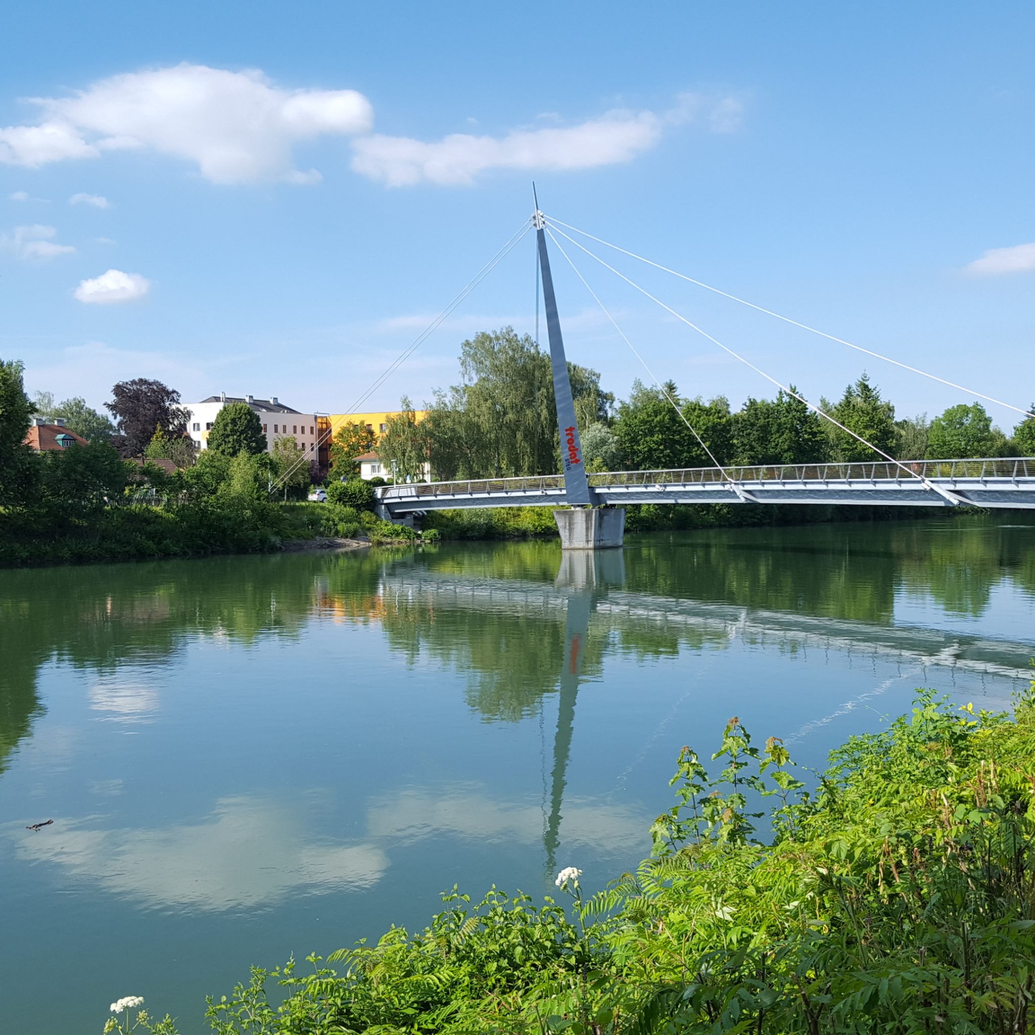
수위와 관계없이 두 강의 뚜렷한 색상 차이를 이곳에서 분명히 볼 수 있습니다. 훨씬 짧은 산악 강인 Alm은 일반적으로 2개의 큰 호수를 통과한 Traun보다 훨씬 더 맑고 따라서 더 밝습니다.
0
0

Halfway point of the Krailbergrunde, good rest stop
1
0

The highest point in the Wels-Land district is on the Steindlberg at 513m. That's 9m higher than the famous Krailberg.
1
0
Coming from the south (vineyard), enter the forest, then turn left (do not go around the forest to the southwest, it will be difficult there), from the north (staffel) there are 2 steeper paths leading up, we used the left one around the outside, at the top it is then comfortably flat in the forest to the summit cross
1
0


Krailberg is the highest point in the Wels-Land district with a height of 504 meters. It lies on the border of the communities of Bachmanning, Neukirchen and Pennewang. There is a summit cross on the Krailberg that was built in 2011. Krailberg is a popular destination for hikers who can enjoy beautiful hiking trails through picturesque forests. There are several routes to reach the summit, starting from various villages in the area. Some of the most recommended are: Hike from Bachmanning: This is a 9.5 km long hiking trail that starts from the Bachmanning town hall and passes the St. Leonhard Chapel and the Bachmanning Castle before reaching the summit of Krailberg. Hike from Neukirchen: This is a 7.5 km long circular route that starts from the Neukirchen multi-purpose hall and follows a forest road to the summit of the Krailberg. Hike from Pennewang: This is a 6.5 km long circular route that starts from the Pennewang church and crosses the fields and forests to the summit of the Krailberg.
2
3
Krailberg is a peak in Wels-Land, Austria, with an elevation of 504 meters. It is the highest point in the Wels-Land district, where the communities of Bachmanning, Neukirchen and Pennewang meet. There are several hiking trails leading to the summit, with varying degrees of difficulty. A popular starting point for a hike to Krailberg is Pennewang, where you can park at the community square. The hike lasts about 2 hours and 15 minutes and covers a distance of about 10 km with a vertical drop of 190 meters. The trail consists of asphalt roads, forest trails and gravel roads.
9
1
It is 504 meters high and lies on the border between the communities of Bachmanning, Neukirchen and Pennewang. The Krailberg is a popular hiking destination for locals and visitors who want to enjoy the beautiful scenery and views. There are different ways to reach the summit, depending on where you start and how long you want to hike.
9
1
웰스에서 가장 인기 있는 명소


찾고 계신 것을 찾지 못하셨나요?
지역별 최고의 하이라이트를 확인하여 웰스의 더 놀라운 자연 기념물을 찾아보세요:
더 살펴보기
웰스의 최고의 동굴을 찾기 위해 이 가이드를 확인해보세요:
