빌라흐에서 가장 멋진 20개의 자전거 공원
빌라흐에 있는 멋진 자전거 공원에서 재미있는 추억을 만들어볼까요? 커뮤니티가 공유한 컬렉션을 아래에서 살펴보면서 가장 멋진 자전거 공원 트레일을 찾아보세요. 자전거 공원 지도와 상세 정보를 클릭하면 원하는 자전거 공원을 다음 모험 계획에 간편하게 추가할 수 있어요.
마지막 업데이트: 10월 23, 2026

카이저부르크 산정역
하이라이트 • 휴식 공간
번역문 보기
팁에 의해

이런 장소를 발견하려면 지금 가입하세요
최고의 싱글 트랙, 봉우리 및 다양한 흥미로운 야외 장소에 대한 추천을 받아보세요.
Flowgartner 트레일
하이라이트 • MTB 공원
팁에 의해


Kanzelbahn 산 정상역
하이라이트 • 휴식 공간
번역자 Google •
팁에 의해
플로우 컨트리 트레일 바트 클라인키르히하임
하이라이트 (구간) • MTB 공원
번역자 Google •
팁에 의해

Arlecchino 트레일
하이라이트 (구간) • MTB 공원
번역자 Google •
팁에 의해

아놀트슈타인 위 트레일, 탁 트인 전망
하이라이트 (구간) • 트레일
번역자 Google •
팁에 의해

카이저부르크에서 펠트 암 제까지 트레일 하강 (S1–S3)
하이라이트 (구간) • 트레일
번역자 Google •
팁에 의해

T25 슈테르네트레일
하이라이트 (구간) • 트레일
번역자 Google •
팁에 의해

무료로 가입하여 빌라흐의 더 많은 자전거 공원을 발견하세요.
이미 komoot 계정이 있나요?
오늘 무료 계정으로 시작하세요
다음 모험이 기다리고 있어요.
빌라흐 주변 인기 장소
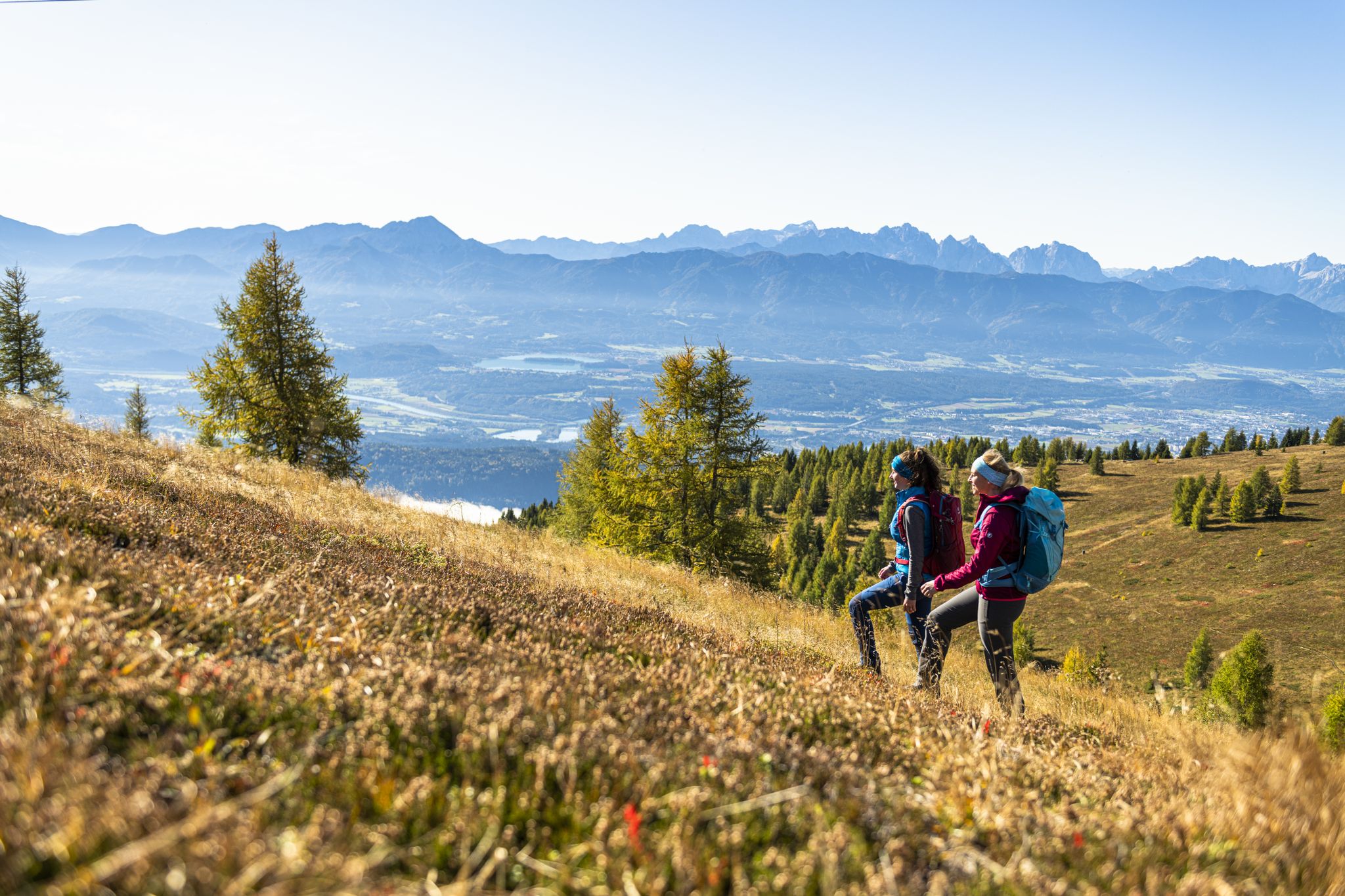
Autumnal mountain hut treks in the Villach region
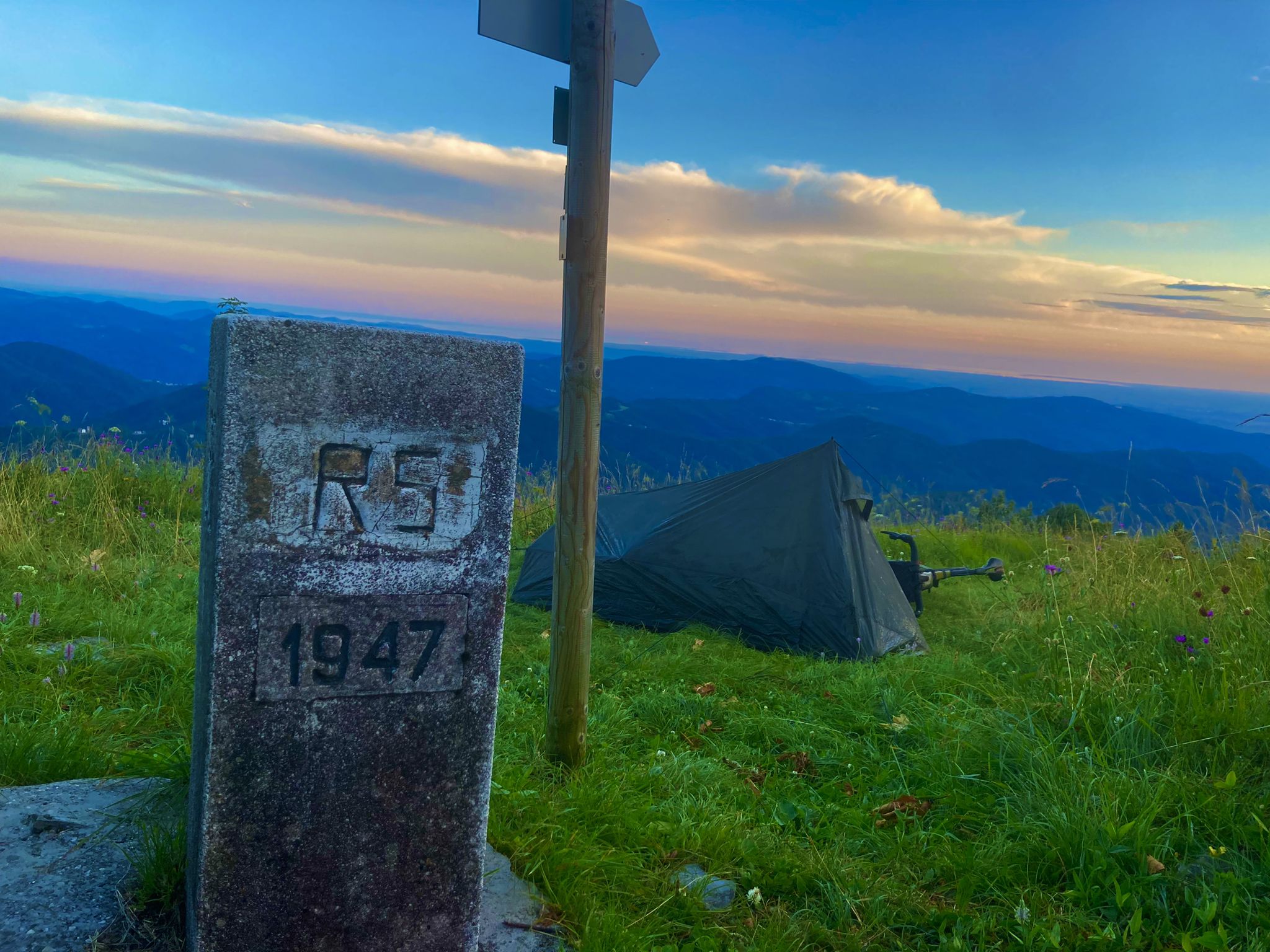
바이에른에서 아드리아해까지 - 크로아티아 바이크패킹 모험 2023
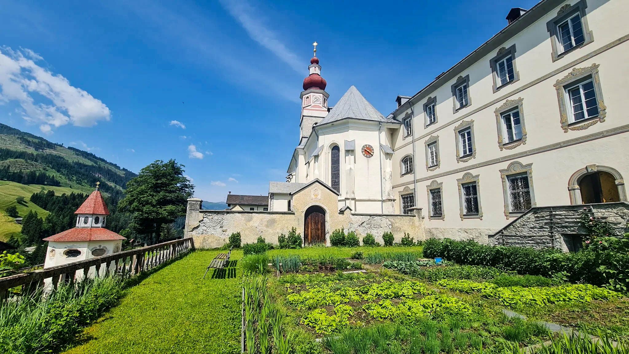
놀라우치고 자신을 찾으세요 - 카린티아 마리아 순례 길
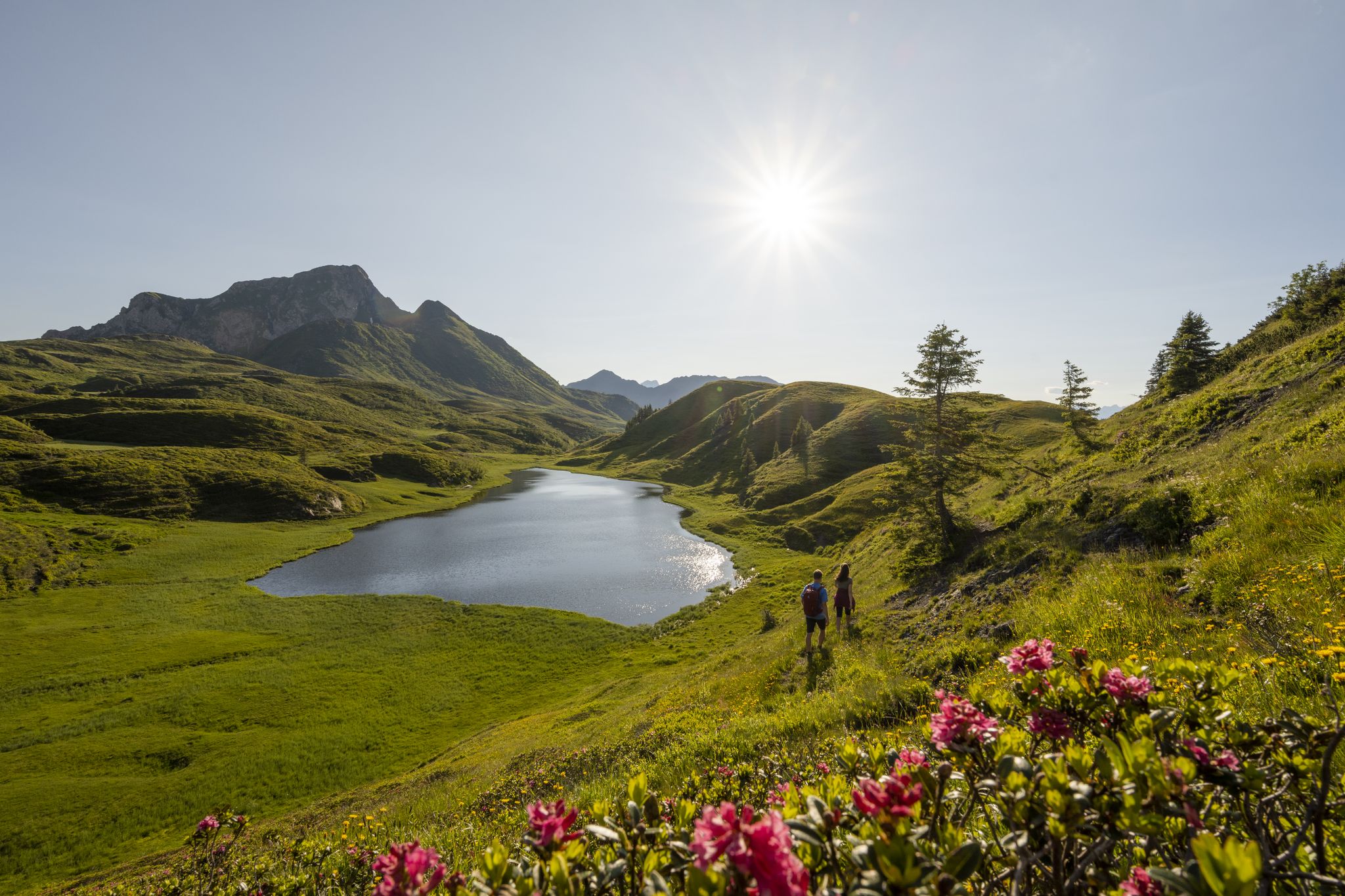
Long hikes on the southern side of the Austrian Alps – in Carinthia
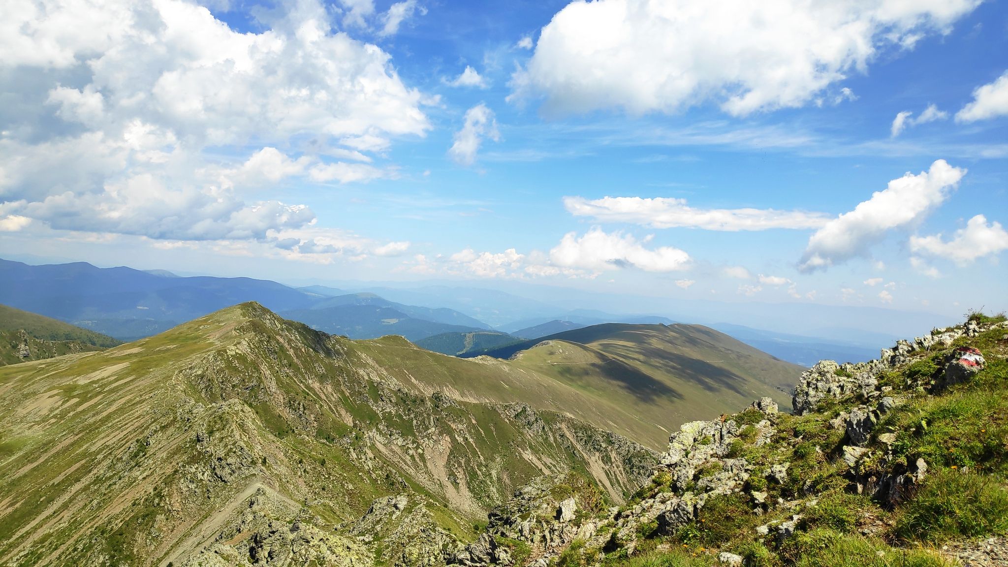
카린티아를 거쳐 — 가스탄리스탄이시 Salt Trail
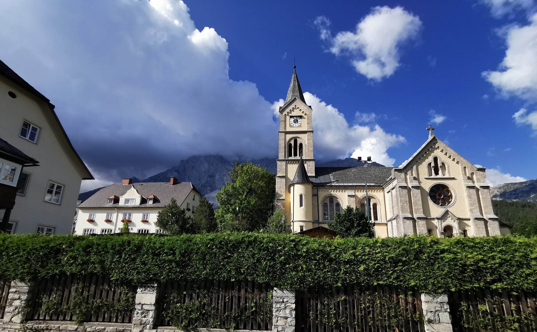
아이타일 오르 정보스타자 아습니다 - 이리이 수다
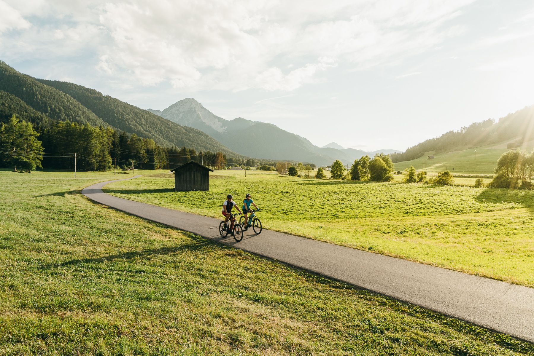
The River Drava Cycle Path – From the Dolomites to the vast landscapes of Pannonia
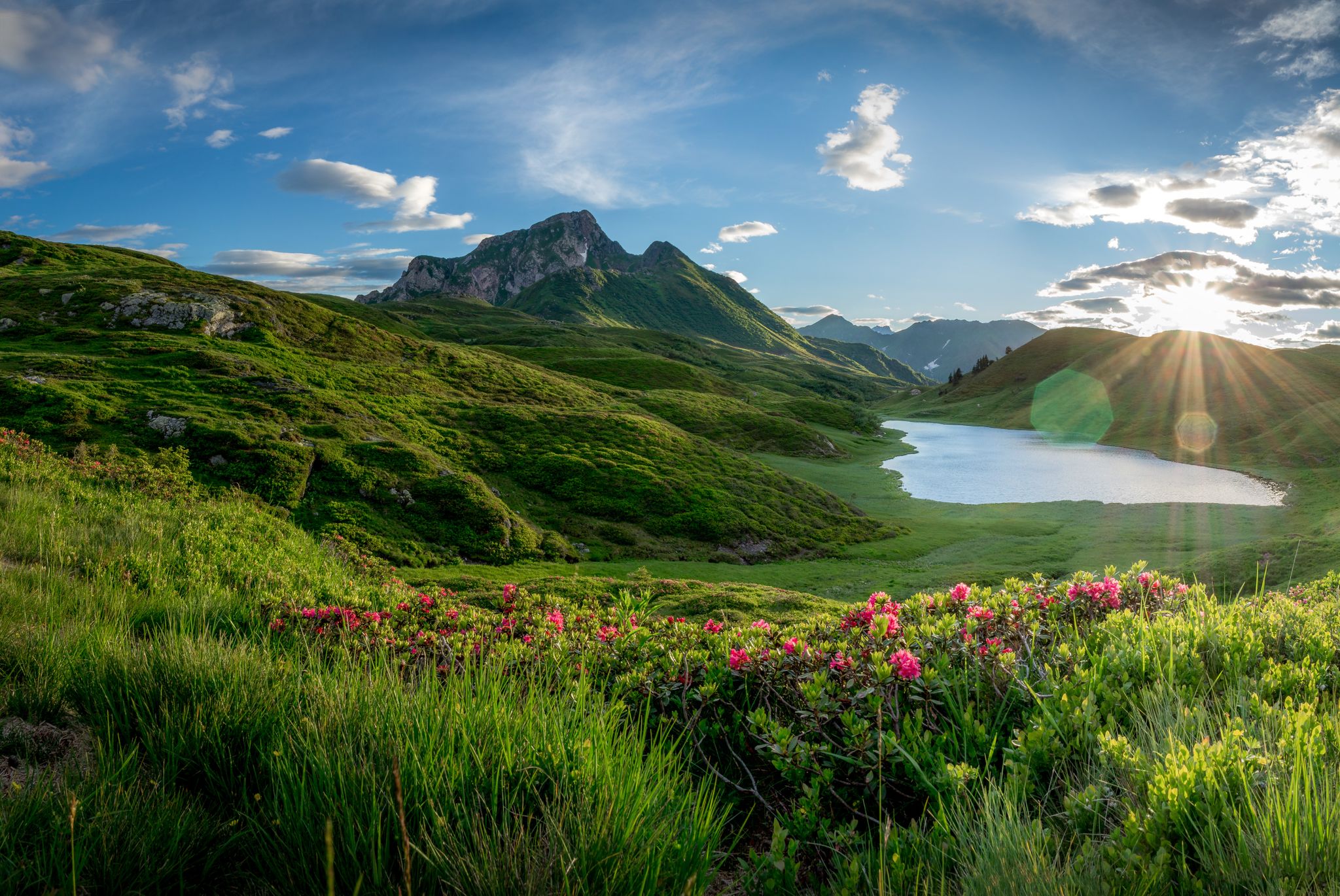
남알프스 트레일 - 오스트리아 스타이어 포도원과 카르니크 알프스
하나의 호수, 10개의 산, 12일 - 오스트리아 밀슈타트 호수 트레일 하이킹
알페-아드리아-트레일: 빙하에서 바다까지의 나의 장거리 하이킹
빌라흐의 다른 모험


커뮤니티 팁

2026년 10월 23일 - 개장: Kanzelbahn II 운행 시작! 2025/26년 겨울 시즌 4인승 Gipfelbahn의 마지막 운행일이었던 2026년 4월 6일로부터 정확히 200일이 지난 오늘, 드디어 그날이 왔습니다. 새로운 10인승 곤돌라 Kanzelbahn II가 공식적으로 개장하여 첫 승객들을 Kanzelhöhe에서 Gerlitzen 정상 고원으로 실어 날랐습니다! 시간당 4,000명을 수송할 수 있고 1,443m에서 1,911m까지 단 6.2분 만에 이동할 수 있어, 케른텐주에서 가장 강력한 케이블카가 되었습니다. Kanzelbahn I과 새로운 Kanzelbahn II를 타고 Gerlitzen 정상 고원까지! 두 대의 곤돌라 Kanzelbahn I과 Kanzelbahn II를 이용하면 오시아허 호수(Ossiacher See)의 산기슭 역(550m)에서 중간 역을 거쳐 정상 고원(1911m)까지 약 18분 만에 날씨 걱정 없이 편안하게 이동할 수 있습니다. 새로운 10인승 곤돌라에는 대형 파노라마 창문이 설치되어 있어 이동하는 동안에도 산의 풍경을 즐길 수 있습니다.
0
0

이것은 S3 등급 이상입니다. 이 트레일을 공유 트레일(Shared Trail)이라고 부르는 것은 잘못되었습니다. 예를 들어 너무 좁아서 전문가에게도 거의 탈 수 없는 것입니다. 부분적으로는 바위에 등반 로프와 등자(steigbügel)가 있습니다... 죄송합니다, 재미없습니다
0
0

Buy a day ticket online and off you go. Very good flow trail too. Everything is in good condition.
1
0

The view in the morning, when the clouds rise from Lake Ossiach, is amazing. It is definitely worth it. It is nice to watch the paragliders. You can also eat well at the summit.
0
0

Quite busy as there is a cable car going up here, but the view is still manageable!
3
0

Beautiful, quiet town, overlooking a splendid lake, at the foot of fantastic mountains, such as Mirnock where you can practice many sporting activities.
1
0
This is perhaps the hardest trail in the area which alternates flow sections where you need to let go of the brakes, with more technical sections where you need to be careful. Comfortable climb either partly along a dirt road or completely on asphalt.
1
0
You descend from the Kaiserburg on the longest flow trail in Europe to a crossroads on the left to find the "Rossalmhuttentrail" (signed T8), further down at a certain point you come across the crossroads for "Alter Almweg-trail" on the left (T1 ). This results in a magnificent descent of around 1000 metres, among the most beautiful in the area.
0
0


찾고 계신 것을 찾지 못하셨나요?
여기에서 지역별 최고의 자전거 공원을 확인해보세요 빌라흐:
