넬슨 카운티에서 가장 멋진 8개의 천연기념물
천연기념물을 방문하여 넬슨 카운티의 아름다운 풍경을 만나보세요. 넬슨 카운티에 있는 8
개의 천연기념물과 상세 정보를 살펴본 후에 방문하고 싶은 천연기념물을 다음 모험 계획에 추가해보세요!
마지막 업데이트: 11월 21, 2026
험백 록스에서 바라본 전망
하이라이트 • 전망대
팁에 의해

Shamokin Falls
하이라이트 • 폭포
팁에 의해

이런 장소를 발견하려면 지금 가입하세요
최고의 싱글 트랙, 봉우리 및 다양한 흥미로운 야외 장소에 대한 추천을 받아보세요.

쓰리 리지스 마운틴 전망대
하이라이트 • 전망대
팁에 의해

스파이 록에서 바라본 전망
하이라이트 • 전망대
팁에 의해
오늘 무료 계정으로 시작하세요
다음 모험이 기다리고 있어요.
커뮤니티 팁


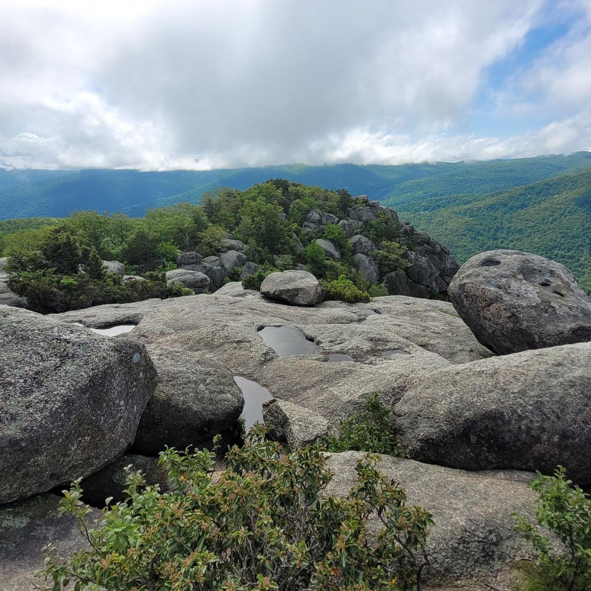
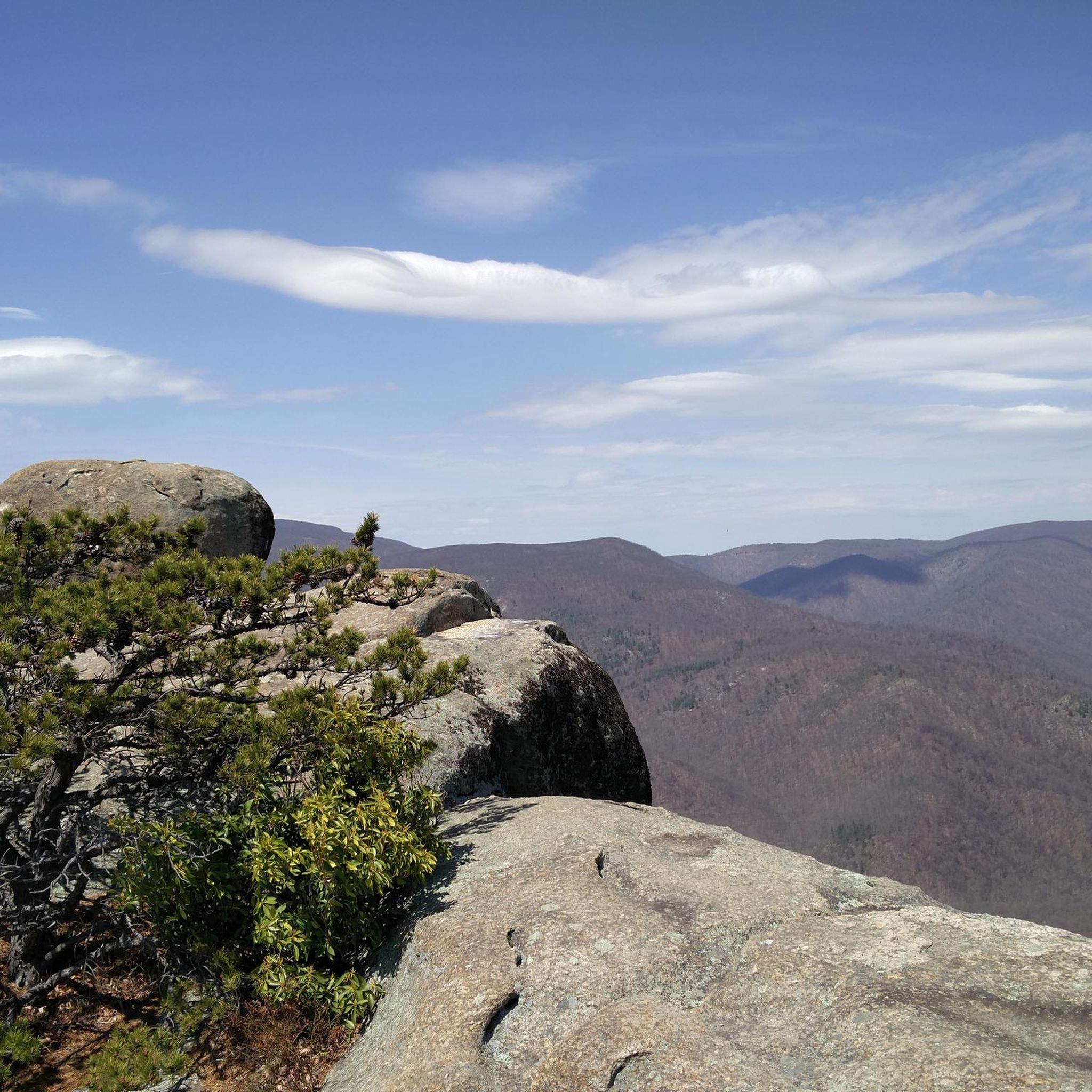
Humpback Rocks is a popular hiking destination due to its accessibility from the Blue Ridge Parkway and I-64. The trail leads to a greenstone outcrop near the peak of Humpback Mountain, with a summit elevation of 3,080 feet. The name comes from the "hump" in the rock formation, which gives the mountain its name, making it stand out from the surrounding, more vegetated peaks. While the views are spectacular, be cautious, especially when the rocks are wet, and try to overlook the occasional disappointing graffiti in some areas.
0
0

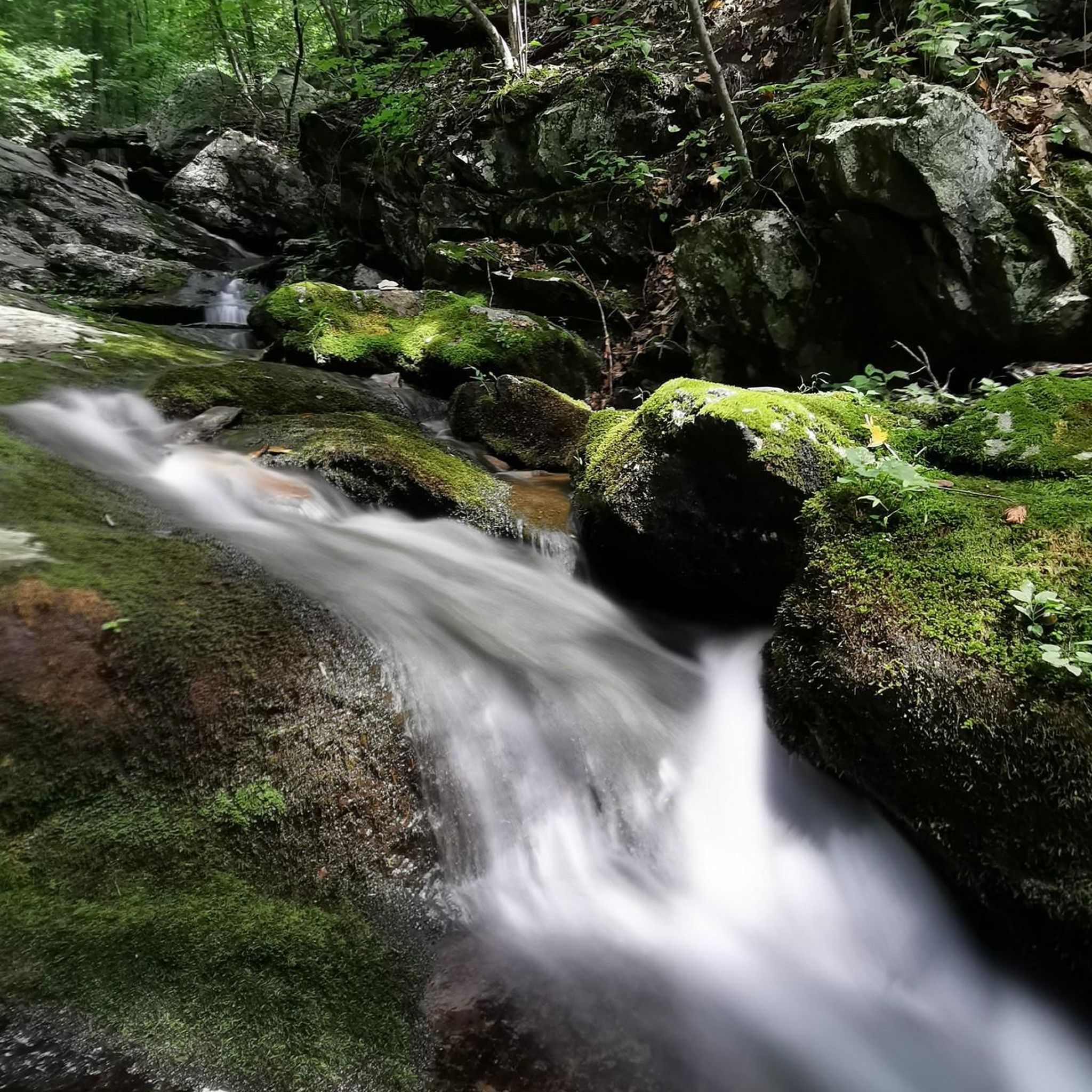
With a few different ways to approach the feature, Shamokin Falls is the most popular attribute on the Wintergreen Resort property. The Upper Falls Trail is by far the most commonly used trail for accessing the falls, but all the approaches have their advantages. The falls are gorgeous year round, but make sure to not climb on the rocks around the falls since the rocks get slick (and icy).
0
0

Towering over Virginia's Blue Ridge Mountains, the iconic greenstone outcroppings of Humpback Rocks offer trail runners a challenging yet breathtaking journey. Located just six miles from the Blue Ridge Parkway entrance near Waynesboro, the distinctive rocky summit of Humpback Mountain stretches 3,080 feet skyward. Despite the surrounding summits blanketed in vegetation, Humpback’s exposed gray stones create a visual “hump” for which it is named, beckoning runners to take on the steep slope.
0
0

Bald Mountain is a 3250 ft high grassy peak with views of Saint’s Mary Wilderness. The bald is reached after 4.5 km of hiking and is a great place to rest and appreciate the expansive views. This is one of the best overlooks in the vicinity due to its wonderful views, so enjoy it! This bald is also not the most popular one in GWNF, so you might find some quietness there.
0
0
The Priest rises from the Crabtree Valley, a mountain 4063 ft high; the highest peak in Nelson County. The summit is part of the Blue Ridge Mountains and offers stunning views of the the Priest Wilderness. To get there you have to follow Appalachian Trail through Crabtree Meadows, a relatively easy and family-friendly trail, however be aware that the road to the trailhead requires a high clearance vehicle.
1
0

FYIs: Arrive early to find parking. There are more spaces than most spots in the park but eventually after the grassy areas are taken up, you will not be able to find a spot! The parking is near the bottom of the falls. In early spring, large wasps and bees will be very busy. Snakes are also frequently seen on the trail so be careful. There are some steep stairs to climb, which may be very different to ascend and a but tricky to come back down from especially when holding heavy backpacks and leashed dogs. The wet rocks are VERY SLIPPERY! There are SEVERAL beautiful stopping points along the way up to the water fall. SOME are drenched from the spraying of the water from the falls so wear waterproof GRIP shoes! When reaching the middle of the falls where it flattens out a bit into small ponds and streams, you can cross the water and visit the other side and sit to have a snack. Moderate ascent to the top of the falls. (Stairs, winding paths, long stretches)
0
1
넬슨 카운티에서 가장 인기 있는 명소


찾고 계신 것을 찾지 못하셨나요?
지역별 최고의 하이라이트를 확인하여 넬슨 카운티의 더 놀라운 자연 기념물을 찾아보세요:
더 살펴보기
넬슨 카운티의 최고의 동굴을 찾기 위해 이 가이드를 확인해보세요:
