마린 카운티에서 가장 멋진 5개의 산길
마린 카운티에서 가장 멋진 산길을 아래에서 살펴보세요. 풍경을 감상하기에도 좋고, 오르막길/내리막길을 따라 걷기에도 좋은 곳이랍니다. 커뮤니티가 특별 도움을 통해 공유한 콘텐츠인 만큼 믿을 수 있는 정보이니 마음에 드는 산길이 있다면 바로 다음 모험 계획에 추가해서 바로 방문해보세요.
마지막 업데이트: 10월 10, 2026

코스트 트레일/팔로마린 트레일헤드 - 메사 로드 끝
하이라이트 • 트레일
팁에 의해
이런 장소를 발견하려면 지금 가입하세요
최고의 싱글 트랙, 봉우리 및 다양한 흥미로운 야외 장소에 대한 추천을 받아보세요.
Inverness Ridge Saddle
하이라이트 • 산악 고개
번역문 보기
팁에 의해

포 코너스 파노라믹 하이웨이/뮤어 우즈/세쿼이아 밸리 로드
하이라이트 • 전망대
팁에 의해
Pine Mountain/Azalea Hill 새들, Fairfax-Bolinas 로드
하이라이트 • 산악 고개
팁에 의해






커뮤니티 팁

이것은 좋은 그래블 자전거 라이딩입니다. 제가 선호하는 것보다 도로 주행이 조금 더 많지만, 운전자들은 자전거를 인지하고 충분한 공간을 제공합니다. 대부분 포장되어 있으며 싱글 트랙 구간은 서스펜션 없는 그래블 자전거로도 탈 수 있습니다. 휴대폰 수신이 제한적이며 Komoot의 음성 안내도 마찬가지입니다.
0
0

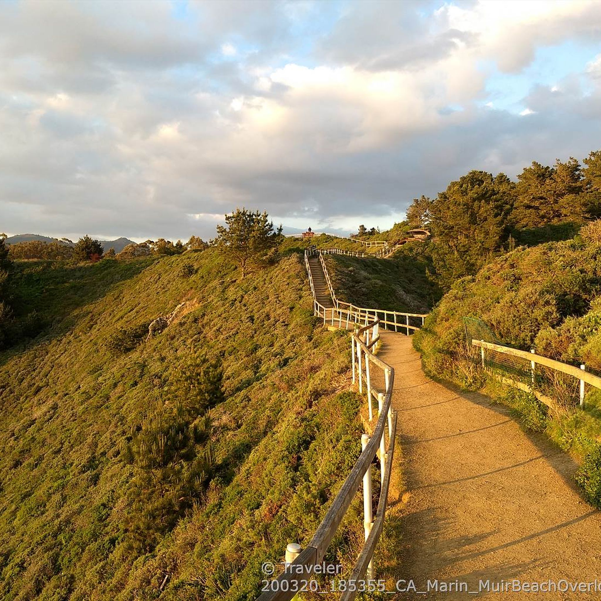
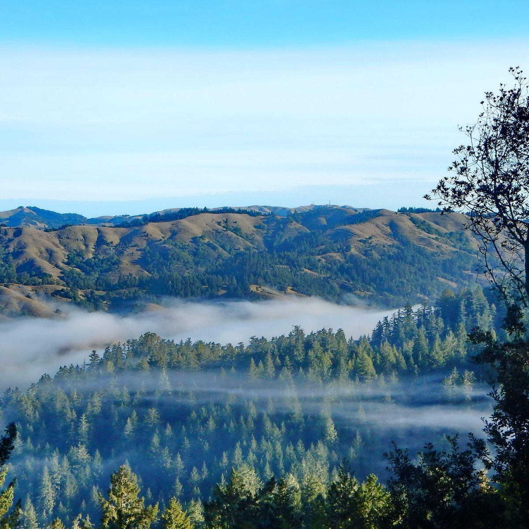
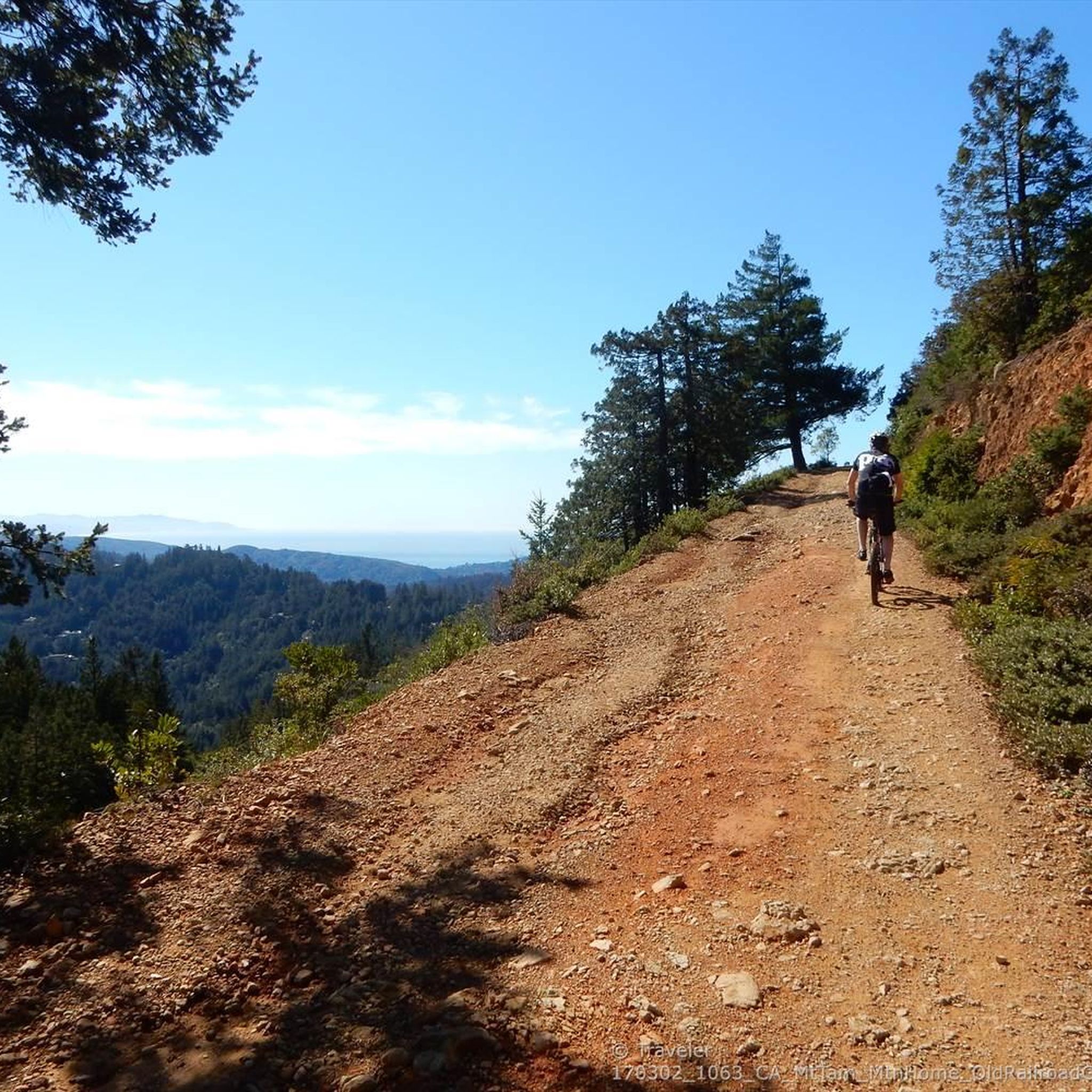
Paved section riding on the ridge between Pan Toll Road and Fairfax-Bolinas Road where it contains as Bolinas Ridge Trail, with spectacular views along the way toward the Pacific Ocean and Stinson Beach far below. The road is open during daylight hours only, in winter that means 9am to sunset.
0
0
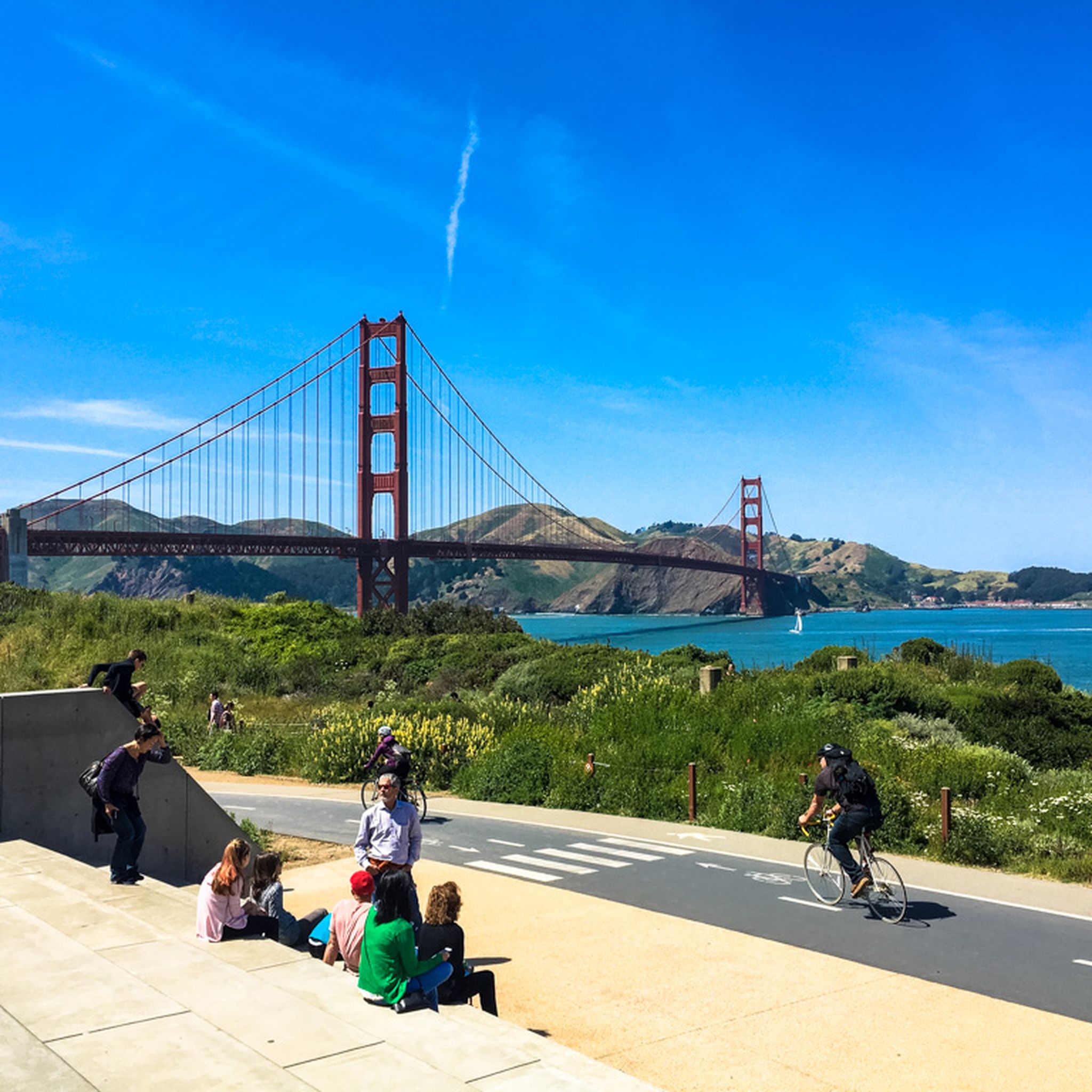
This "Four Corners" intersection on the saddle of Panoramic Highway is the transition for Sequoia Valley Rd crossing over to the Pacific side into Muir Woods Rd. There are also three trails arriving from the Bay side at this point. The views reach from the Bay on one side to the Pacific Ocean on the other.
0
0

Pay attention to the "no parking" signs along the road. We got an $80 ticket!
0
0
Crossing this saddle is a good excuse for a stop to take in the views, and maybe even hike down to Carson Falls from the nearby trailhead
0
0
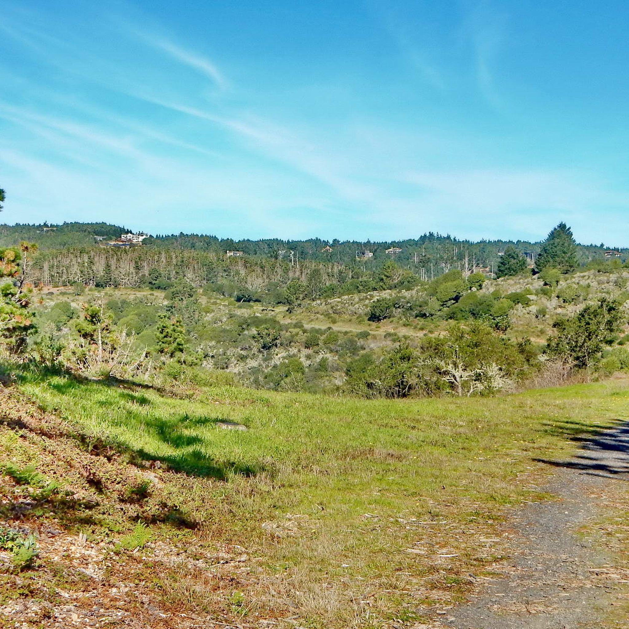
First of a surprising number of hills to climb on the way out toward the Point Reyes lighthouse station.
0
1
At the end of the winding Mesa Rd begins one of the most spectacular coastal trails in the Bay Area: the southern tip of the Point Reyes National Seashore, closest to San Francisco less than one hour away, the Coast Trail leads along beaches (don't miss Palomarin Beach just below here), cliffs, lakes, and a mix of forested and open meadows to the unique tidefall of Alamere Falls, one of only two in California that fall right onto the beach.
1
0
Homestead Valley Trail leads downhill a few yards off this big Trailhead parking at the intersection used as a key meeting place by many hikers and bikers, some dropping down to the bay, others over to Muir Woods when that National Park parking is overflowing on Summer weekends
0
0
마린 카운티에서 가장 인기 있는 명소


더 살펴보기
이 가이드를 통해 더 많은 장대한 산악 통과를 확인해보세요 마린 카운티:
