플라센시아에서 가장 멋진 7개의 산길
플라센시아에서 가장 멋진 산길을 아래에서 살펴보세요. 풍경을 감상하기에도 좋고, 오르막길/내리막길을 따라 걷기에도 좋은 곳이랍니다. 커뮤니티가 특별 도움을 통해 공유한 콘텐츠인 만큼 믿을 수 있는 정보이니 마음에 드는 산길이 있다면 바로 다음 모험 계획에 추가해서 바로 방문해보세요.
마지막 업데이트: 10월 10, 2026
푸에르토 데 온두라스
하이라이트 (구간) • 산악 고개
번역자 Google •
팁에 의해

푸에르토 데 피오르날
하이라이트 (구간) • 산악 고개
번역자 Google •
팁에 의해

이런 장소를 발견하려면 지금 가입하세요
최고의 싱글 트랙, 봉우리 및 다양한 흥미로운 야외 장소에 대한 추천을 받아보세요.
파소 델 인피에르노
하이라이트 • 등반
번역자 Google •
팁에 의해

미라도르 델 푸에르토 데 라 세라나
하이라이트 • 전망대
번역자 Google •
팁에 의해

토르나바카스 고개 전망대
하이라이트 • 전망대
번역자 Google •
팁에 의해

Collado de las Losas
하이라이트 • 산악 고개
번역자 Google •
팁에 의해

오늘 무료 계정으로 시작하세요
다음 모험이 기다리고 있어요.
플라센시아 주변 인기 장소

12 hiking gems throughout Spain
라 루타 데 라 플라타
MTB에서의 이동 목축 — 서부 카냐다 레알 소리아나
동에서 서로 — 스페인 GR 10 트레일
기념비적 역사와 자연 — 엘 카미노 데 라 베라 GR-111
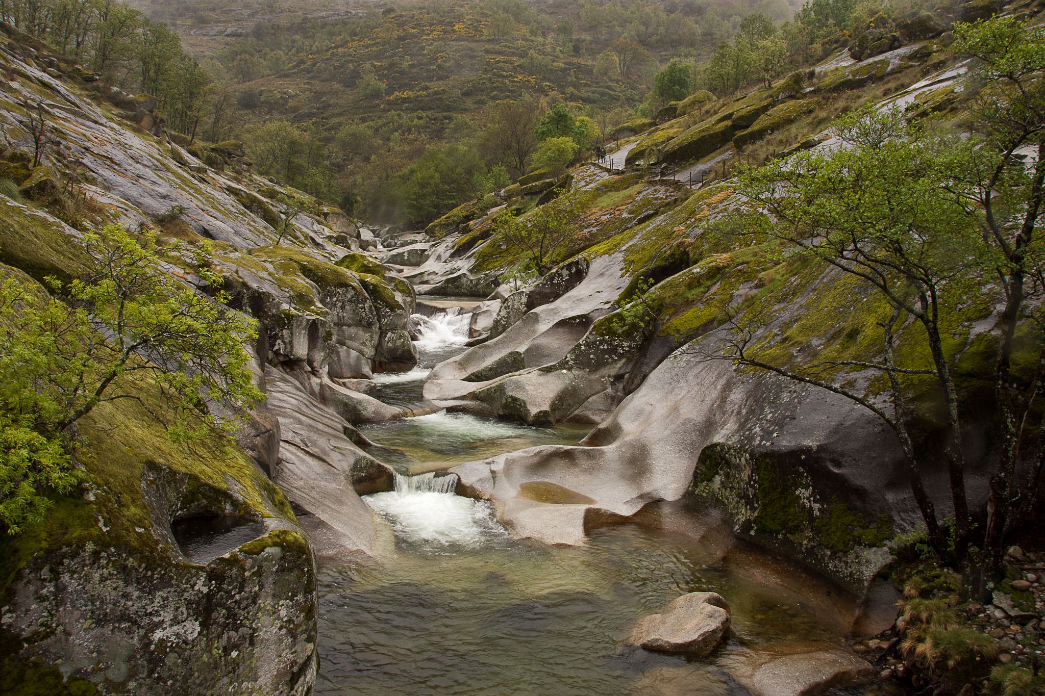
Six routes to discover Extremadura on foot
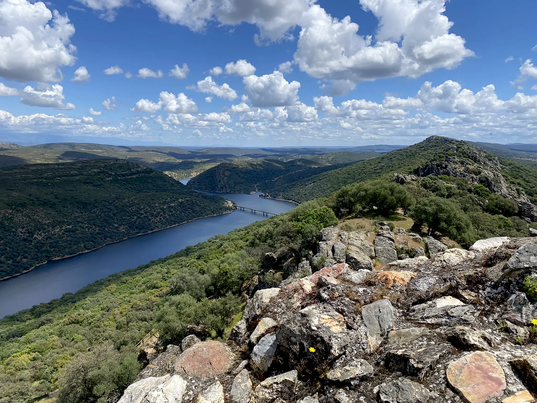
Extremadura's natural paradise by bike — Tour of Monfragüe
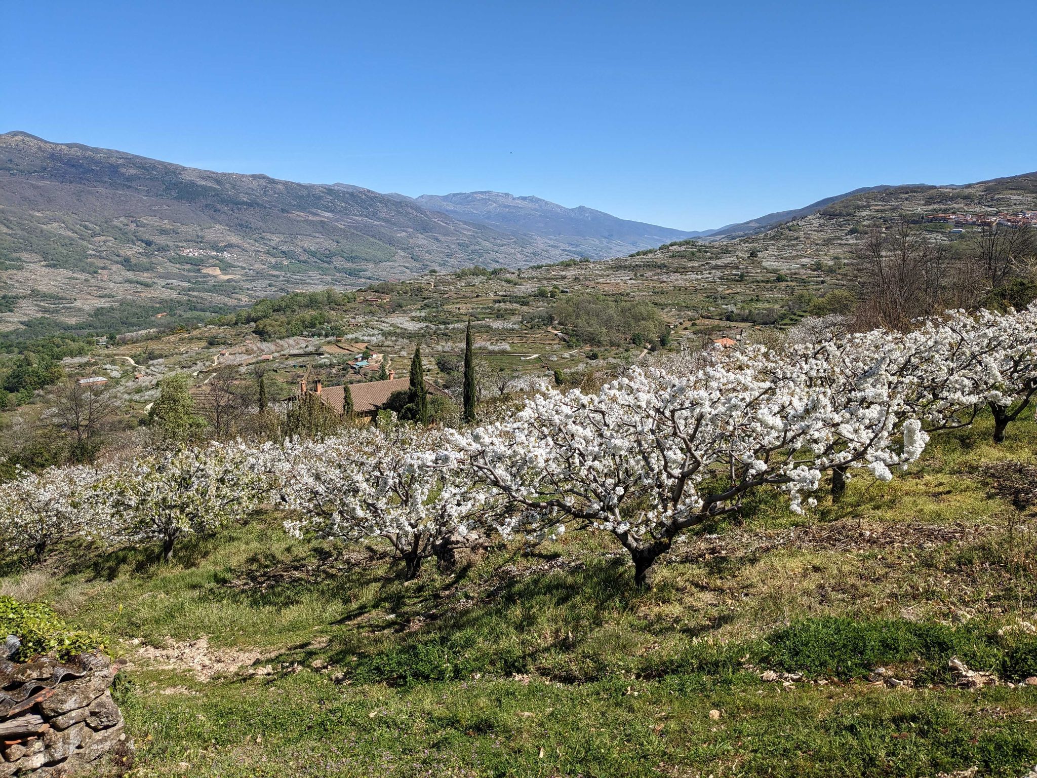
체리 파라다이스 - 스페인 헤르테 계곡 (GR 110)
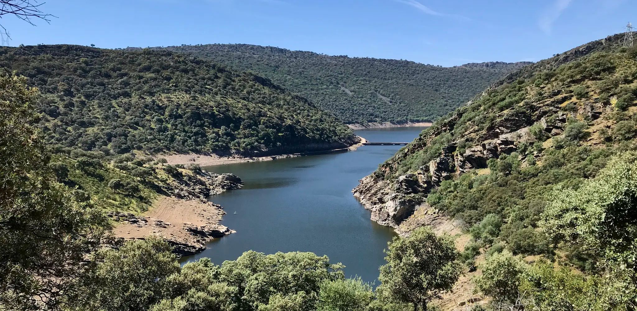
톨레도에서 세디요로까지 - 타호 서부 자연의 길
이베리아 반도 여행 - 타구스 자연 트레일
플라센시아 주변의 다른 모험


커뮤니티 팁

This viewpoint is ideal for birdwatching, especially birds of prey and cliff-dwelling birds. It's also surrounded by lush vegetation.
1
0

La Vera 지역의 훌륭한 전망, 반대편에는 Jerte 계곡이 있습니다. 좁은 도로이지만 상태는 매우 좋습니다. Garganta la Olla 쪽의 고개를 넘으면 표지판에 도착하며, 약 15km, 약 800m의 고도 차이에 평균 5% 경사입니다. 이쪽은 나무 사이의 아름다운 구간과 교통량이 매우 적어 매우 걷기 좋습니다.
1
1
17 kilometers of mountain pass (on both sides, Ambroz Valley from Hervás or Jerte Valley from Cabezuela del Valle). From Cabezuela del Valle, the first 12 kilometers average an average gradient of 7%, with some 10% gradients, and from the 12th kilometer onward, there are some rest stops with wonderful views. This side has a gradient of approximately 900 meters, up to 1,430 meters.
0
0

Beautiful port between the Ambroz Valley and the Jerte Valley with a constant slope of about 6%
0
0

This is one of the best-known mountain passes in the Sierra de Gredos area and is also important as it separates the two most important basins in the Iberian Peninsula, the Duero and the Tagus.
0
0

Spectacular views from this mountain pass. The Port of Honduras is located at 1440 meters above sea level on the CC-120 highway. The ascent from Hervás has about 17km gaining 920m with an average gradient of 5.2%
1
0

At this point the trail connects with the Collado de las Losas trail and several other trails. All wonderful trails to walk or run.
1
1

Located at 1,275 meters above sea level, it is recognized as a historic mountain pass in the Sierra de Gredos and represents the physical division point of the Duero and Tagus basins. This site has been the passage of several civilizations. over the centuries and represents a site of great historical importance for the area.
1
1
플라센시아 주변에서 가장 인기 있는 명소


찾고 계신 것을 찾지 못하셨나요?
플라센시아 주변의 더 놀라운 산악 통과를 지역별로 찾아보세요:
더 살펴보기
이 가이드를 통해 더 많은 장대한 산악 통과를 확인해보세요 플라센시아 주변:
